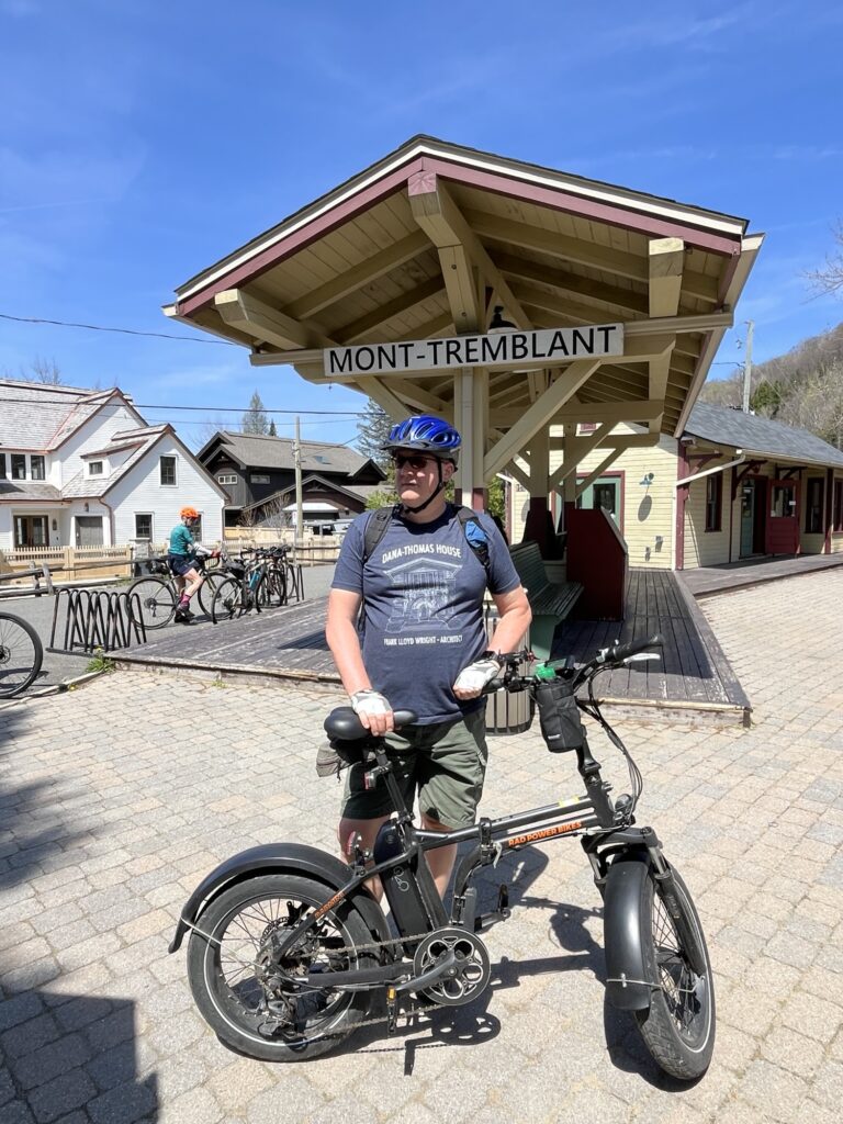
An early rise and light breakfast starts our first day of activities. Our plan today is to ride from Labelle to Mont Tremblant and back along the P’tit train du Nord. This is a 200km rail trail between St Jerome and Mont Laurier that is a very popular trail due to its ease of access and slight grades.
We would not be cycling the entire length of the trail; however, the nearly 20km each way today should be plenty for us to start with.
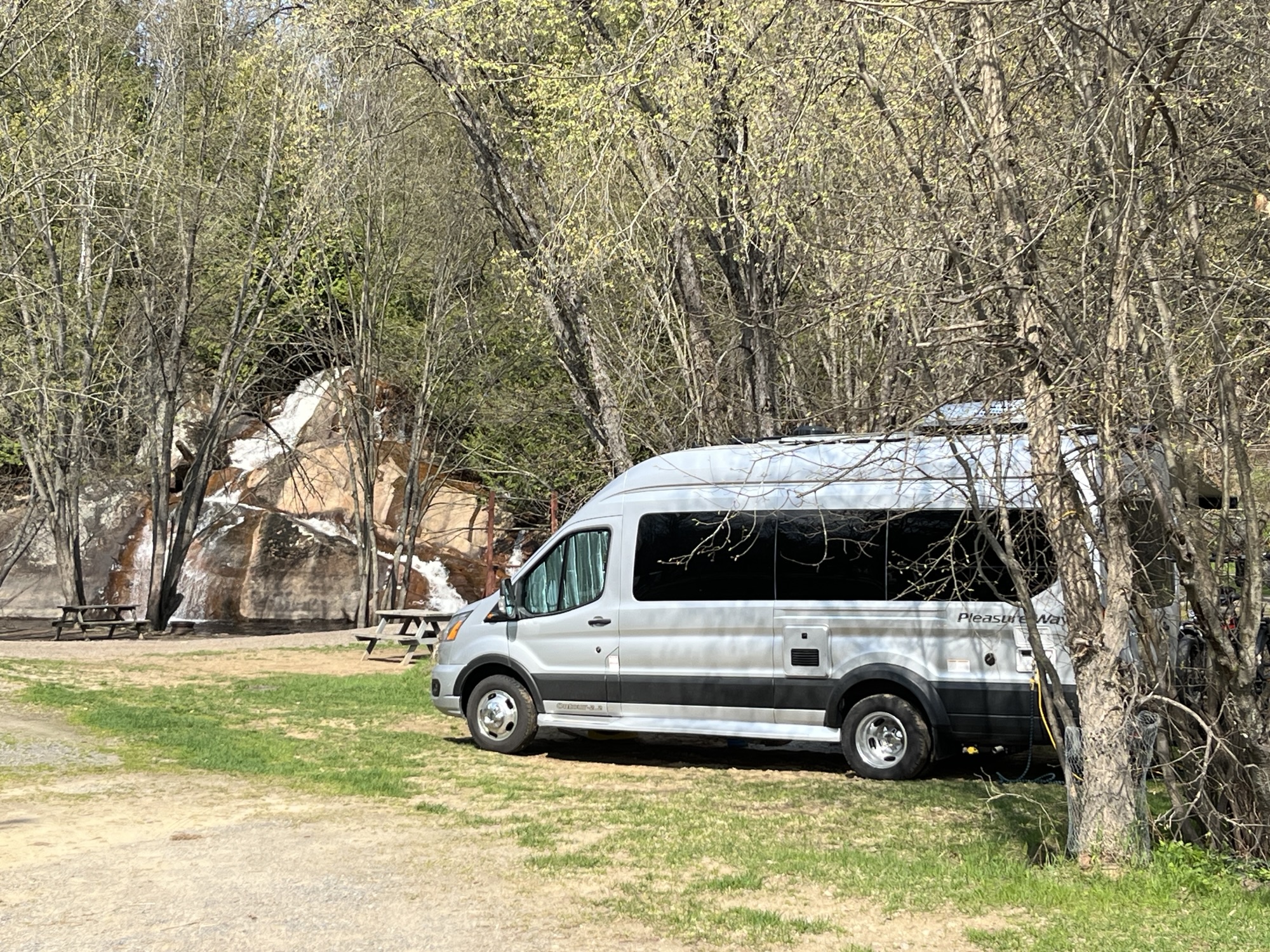
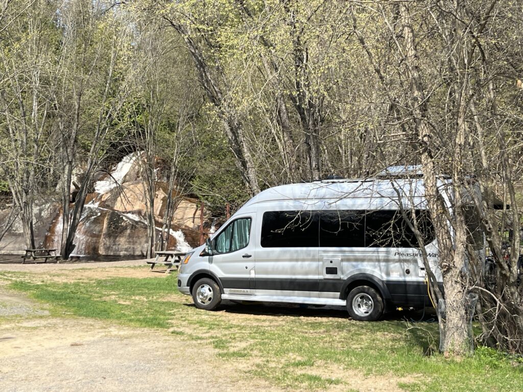
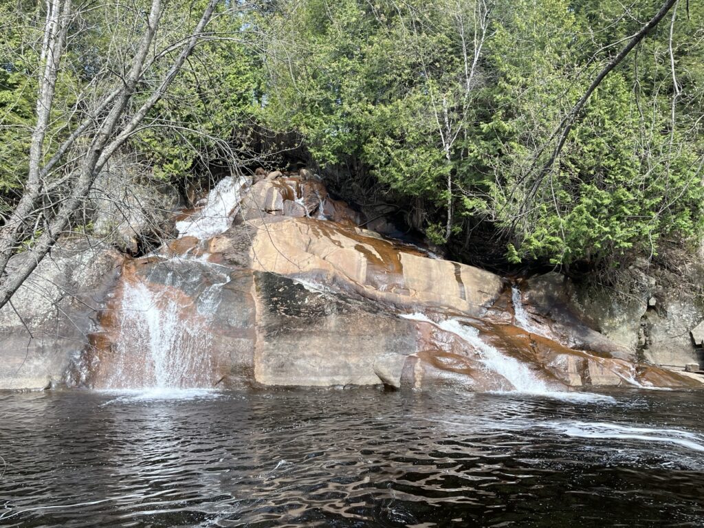
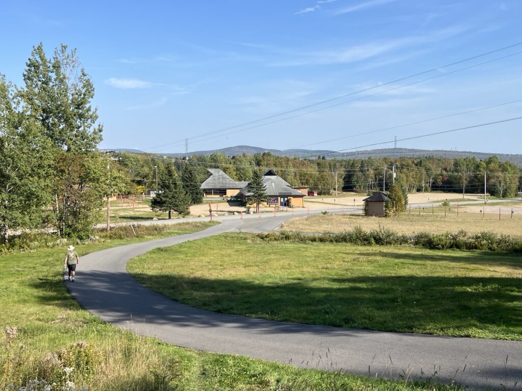
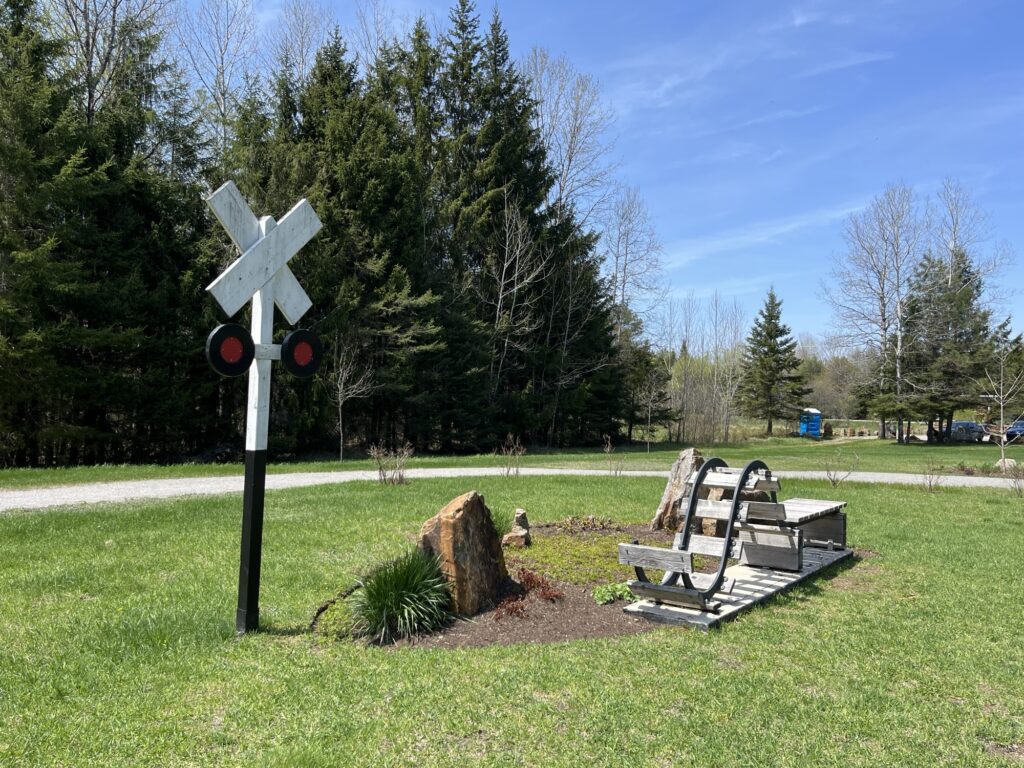
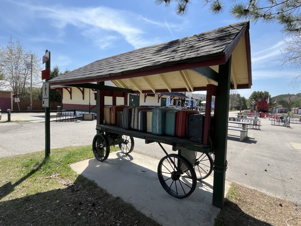
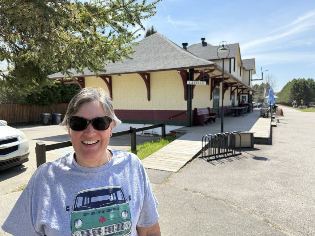
We headed out at about 10:30 and rode from the campground up to the old Labelle train station that acts as a waypoint along the trail.
My first surprise was that the trail is paved! I was expecting a stone dust trail but this section is freshly paved and 2.5m wide with great signage and wayfinding boards along the route telling you exactly where you are within the 200km route. Good job Quebec!
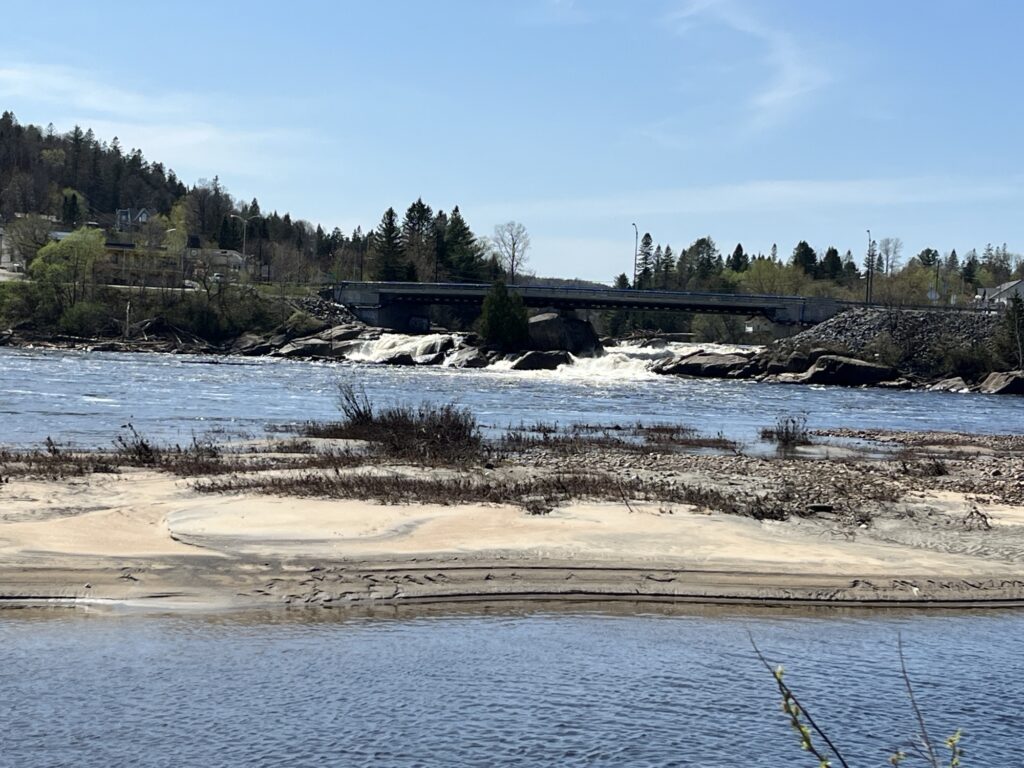
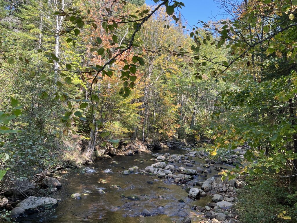
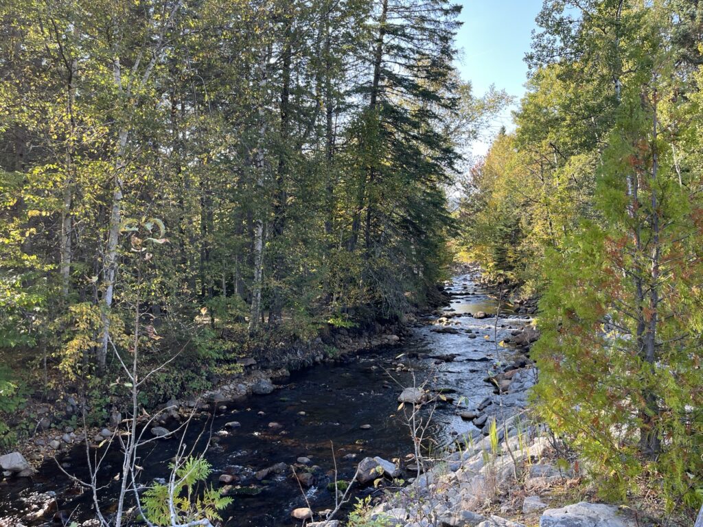
The ride was easy as it’s fairly flat and it was nice to be cycling away from traffic and the associated stresses and noise. We saw deer, turkeys, sheep (and companion dog) and a few other cyclists along our route to Mont Tremblant. As we passed along the shore of Lac Mercier we admired the homes/cottages that lined the lakeshore. A nice place to live if one could afford to do so.
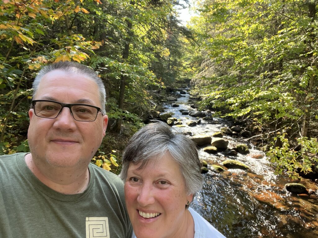
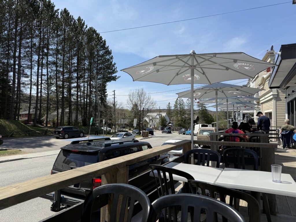
In Mont Tremblant village we enjoyed a smoked meat sandwich at La Sandwicherie Cafe & Bistro while sitting outdoors on the patio in the sunshine. A perfect day for a bike ride through the mountains.
Our ride back from Mont Tremblant seemed easier is some ways and more difficult in others, not that it was a technically challenging ride at all; however, our out-of-shape bodies began to ache at the extended time in the saddle. We used the conveniently placed rest stops along to way as ‘butt breaks’ and we’re both looking forward to our reward awaiting in Labelle.
It was slightly uphill returning to Labelle, but our e-bikes (yes, we were cheating for all of you purists out there) easily handled any climbing required.
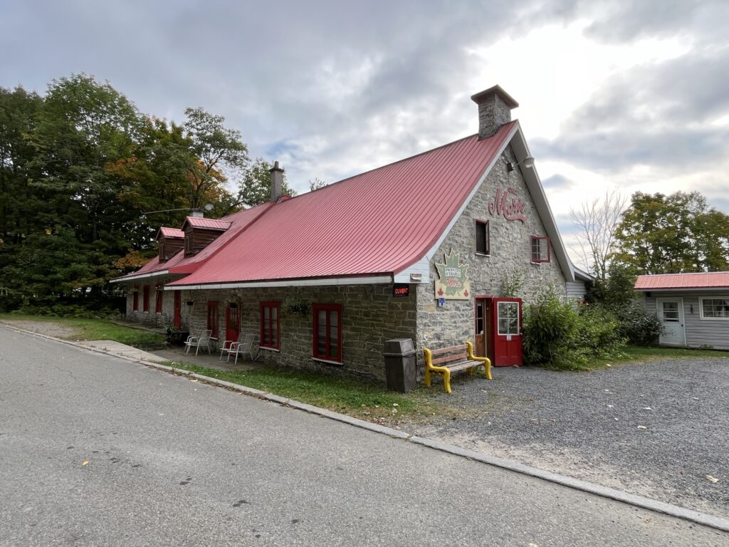
Once in Labelle, we stopped at Le Bar du P’tit train du Nord for a refreshment and ‘snack’. The resto/bar is located in the old Labelle train station directly adjacent to the trail with lots of bike racks for securing your rides while you enjoy some food and refreshments. There are also picnic tables for those carrying their own lunches as well as a playground for the kiddies.
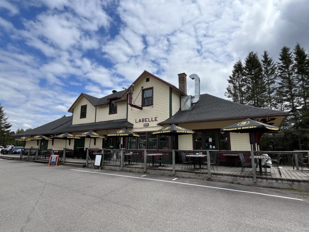
We chose to sit on the deck and enjoy a draft beer and some Poutine as a snack, right. The beer was perfect & as I wrote above, a nice reward after the cycling. The poutine was delicious but not a snack, the serving was large and they did skimp on the cheese curds. Yummy!!
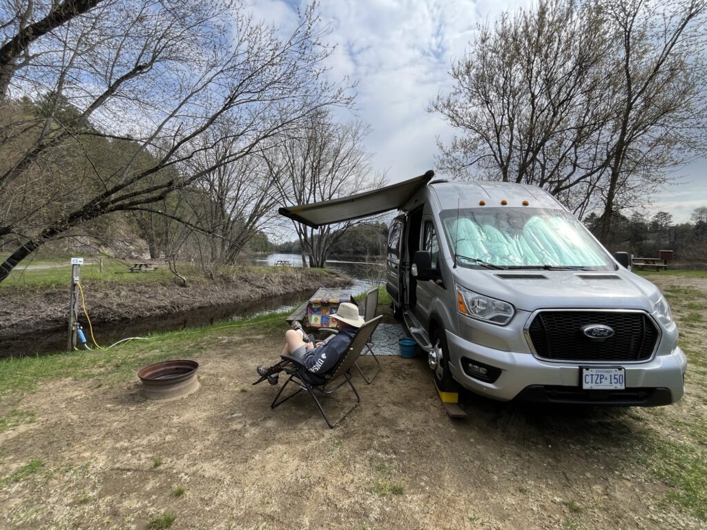
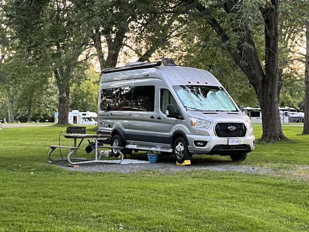
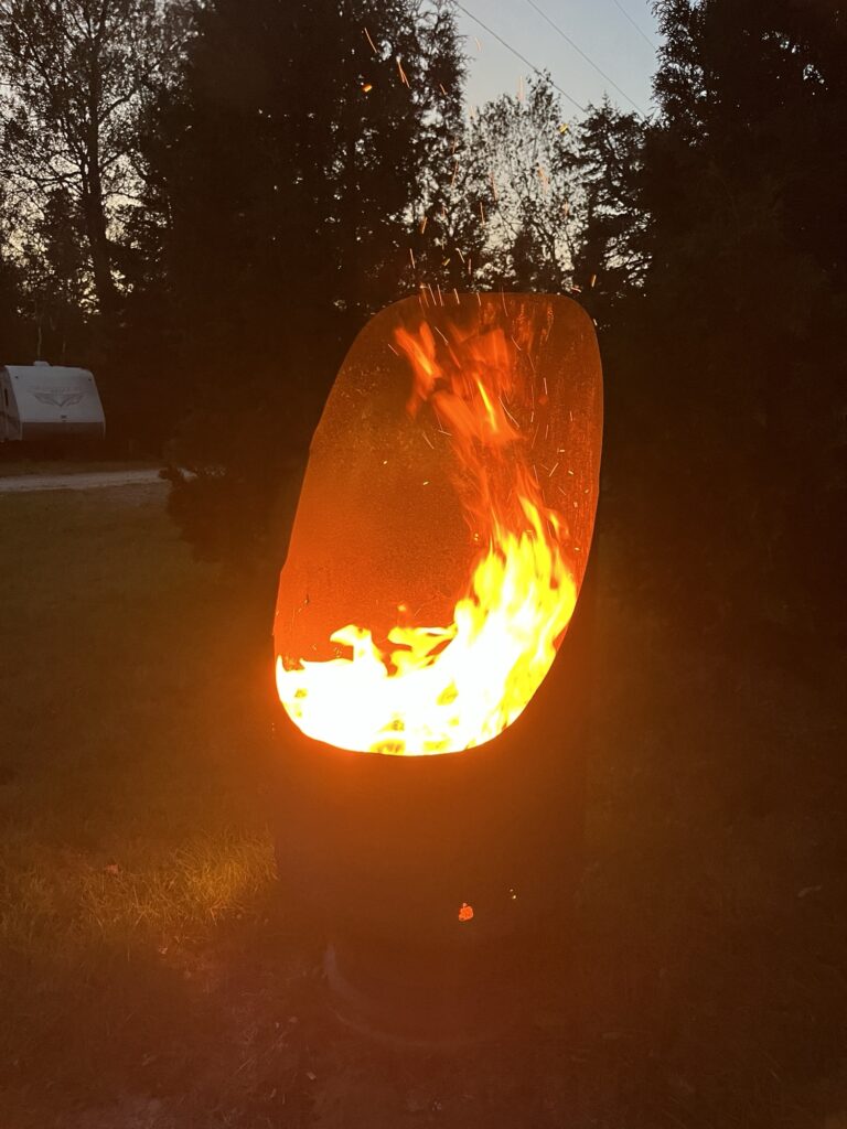
Returning to our campsite, we unpacked from our journey and spent the remainder of the afternoon relaxing and napping. I cooked dinner on our outdoor grill and we retreated to the van early to avoid the ever growing number of biting black flies that were appearing.
If you’re interested in riding the trail, the following article describes the trail and amenities far better than I can. Go biking.ca – P’tit trail du Nord
Tomorrow? We have plans to take it easy and possibly try something new.