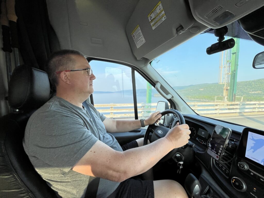
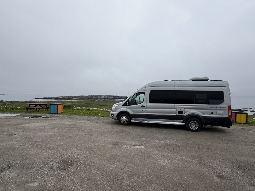
Today was not what we had planned, it ended at home. We awoke relatively early enjoyed breakfast in the van, tidied up and set out.
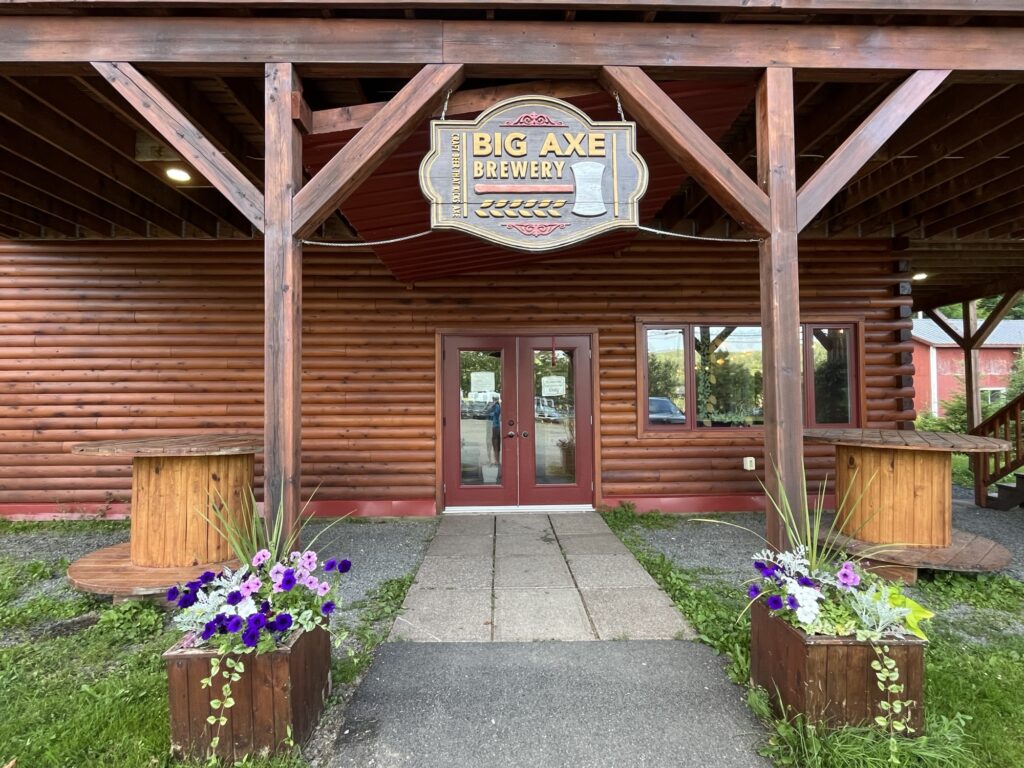
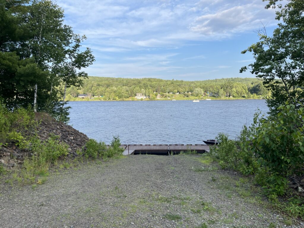
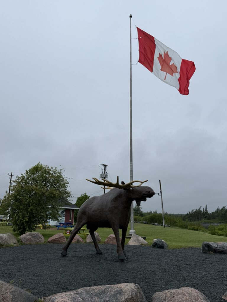
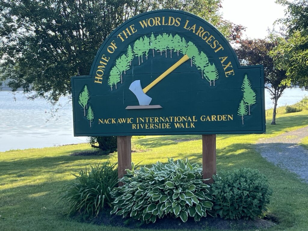
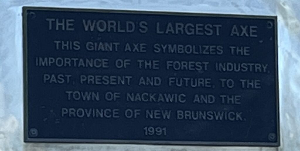
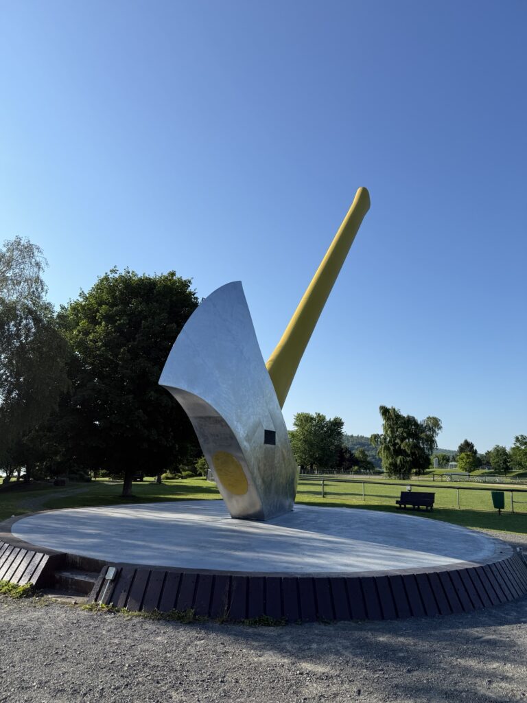
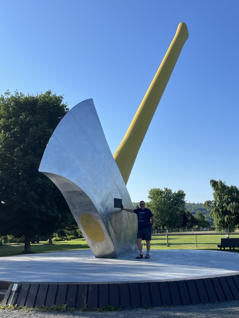
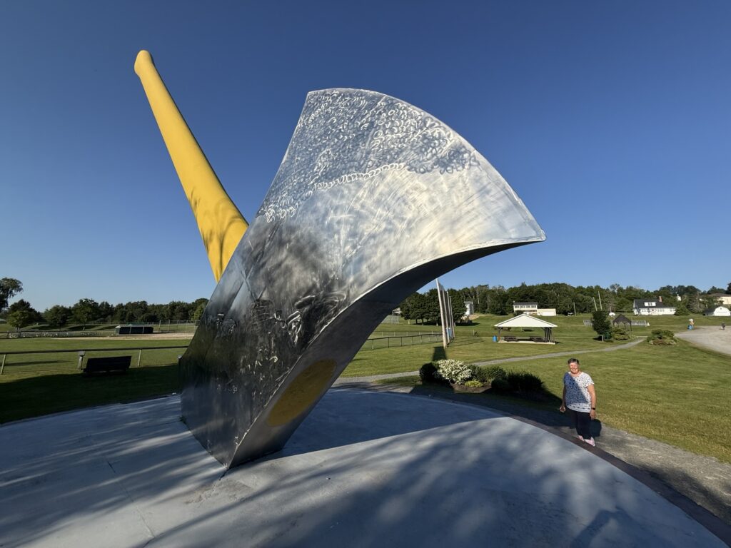
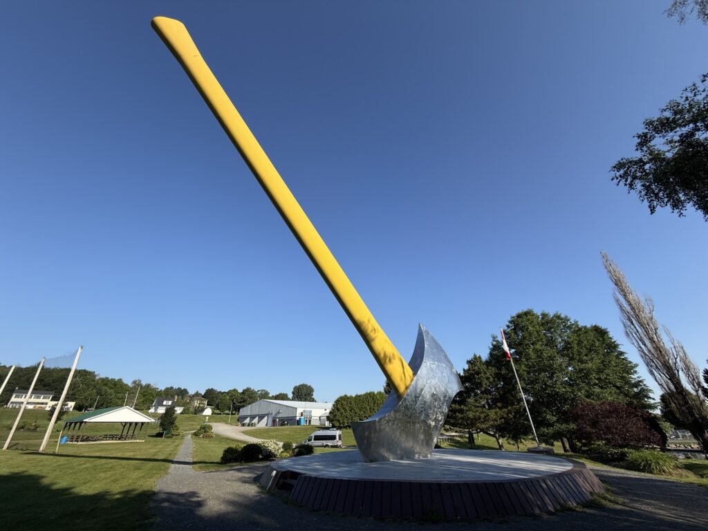
Our first stop was just a few minutes down the road at the park in Nackawic where we saw a very Big Axe!
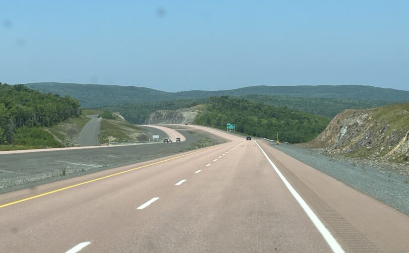
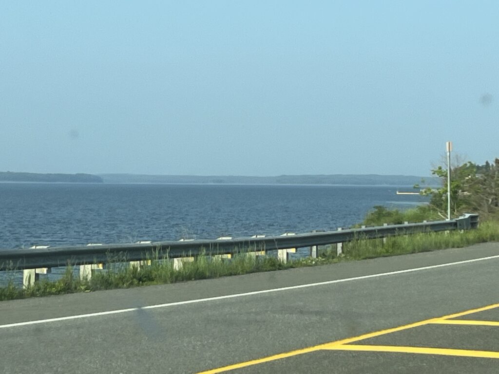
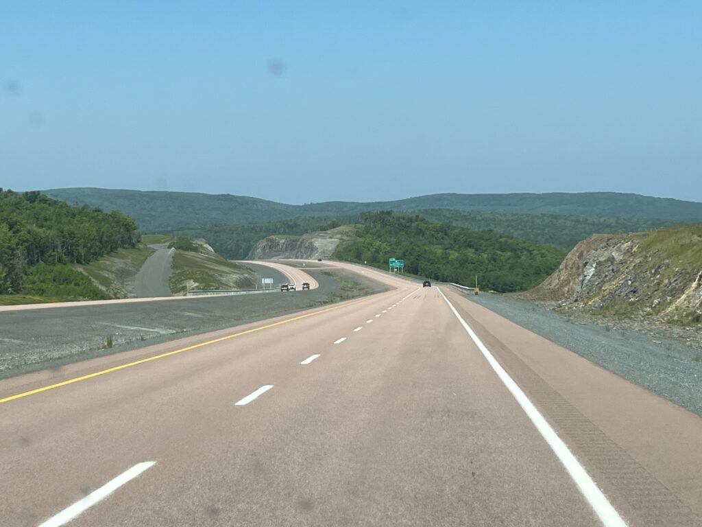
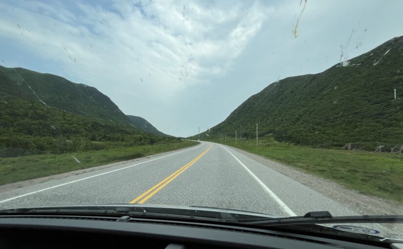
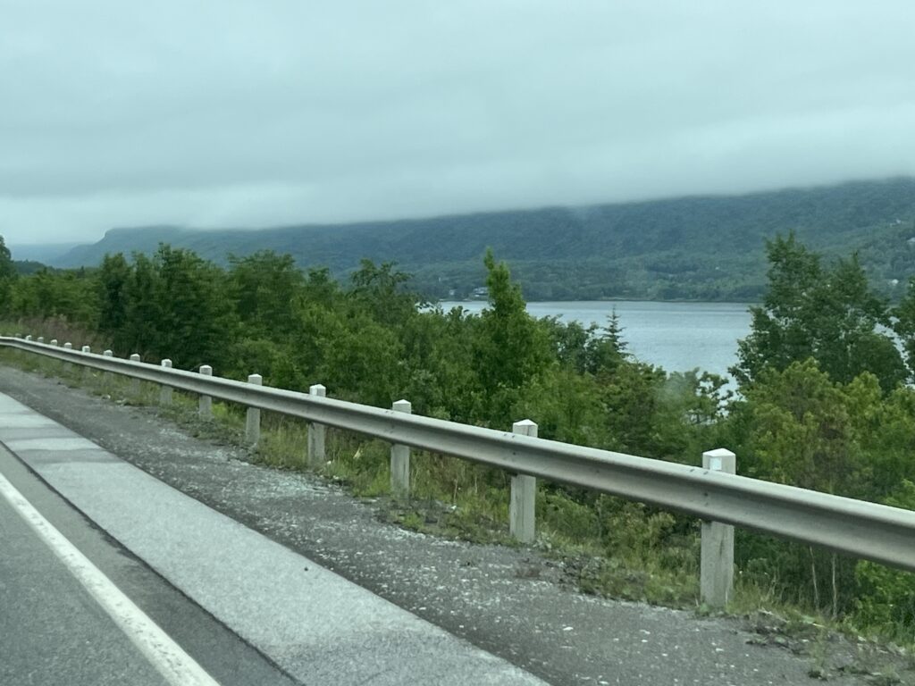
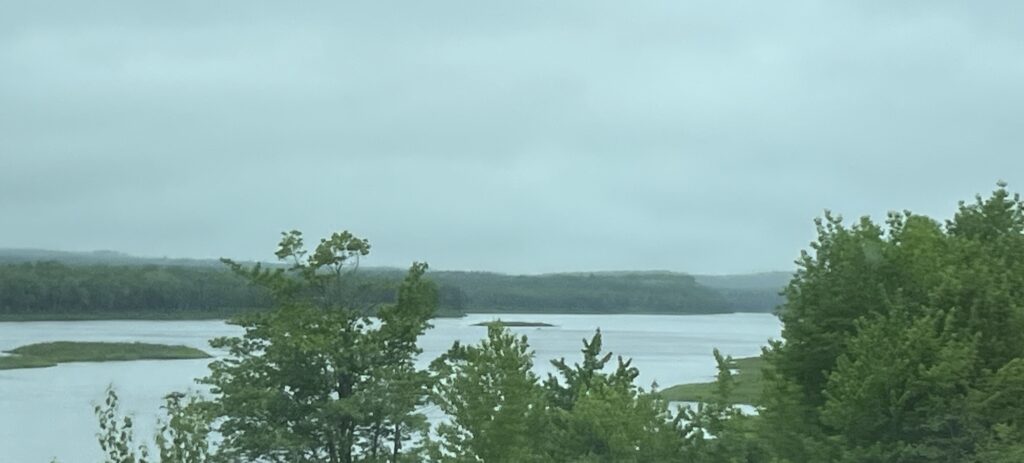
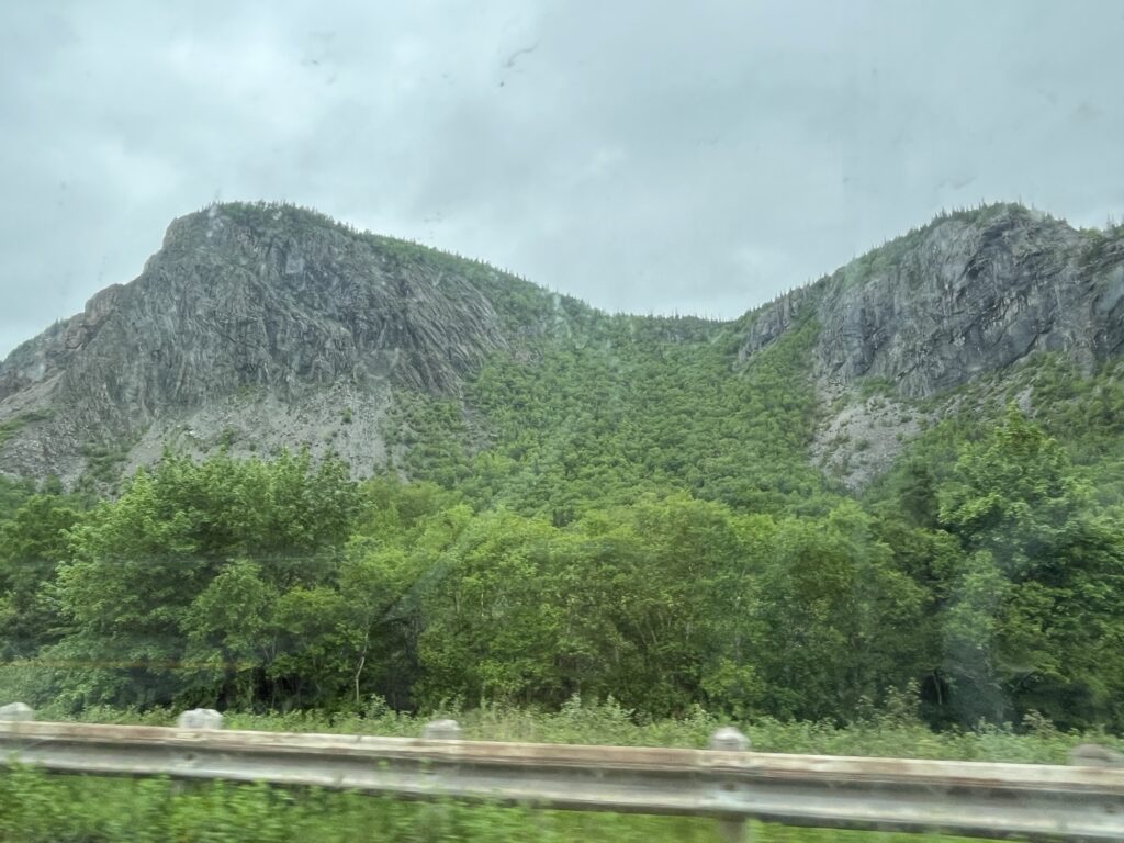
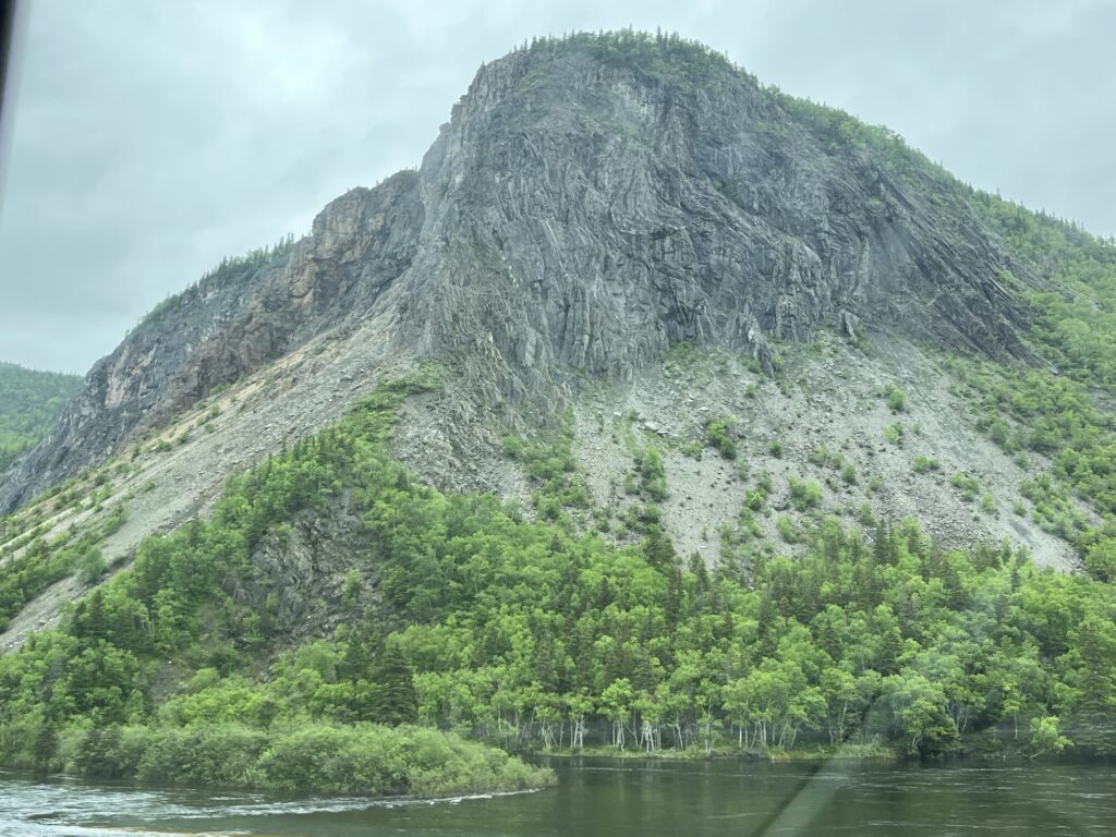
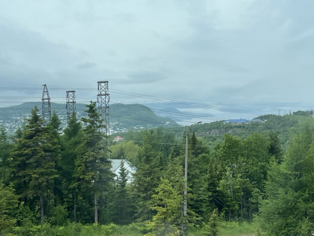
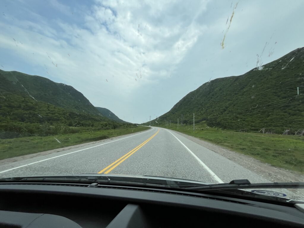
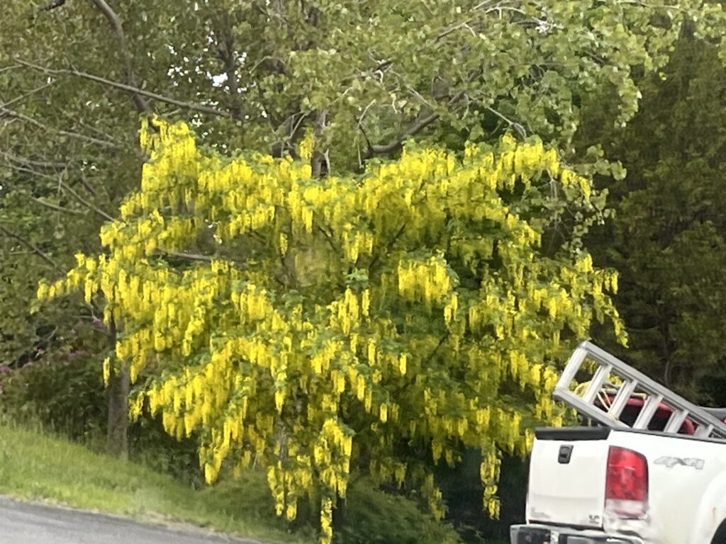
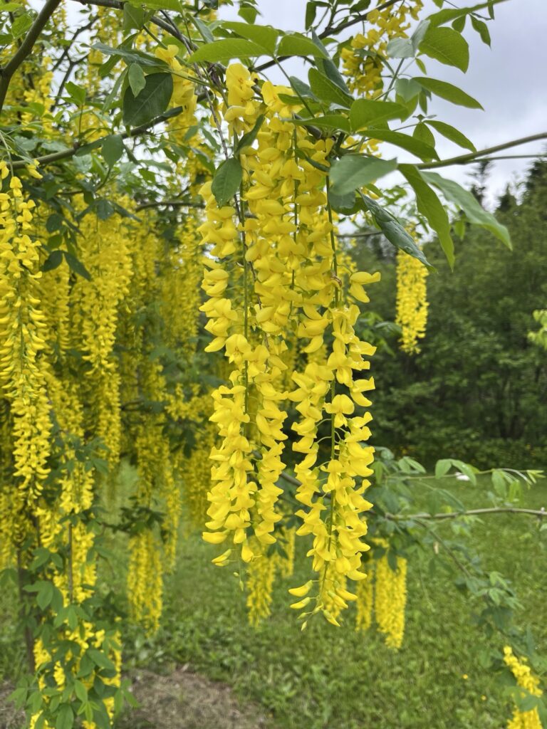
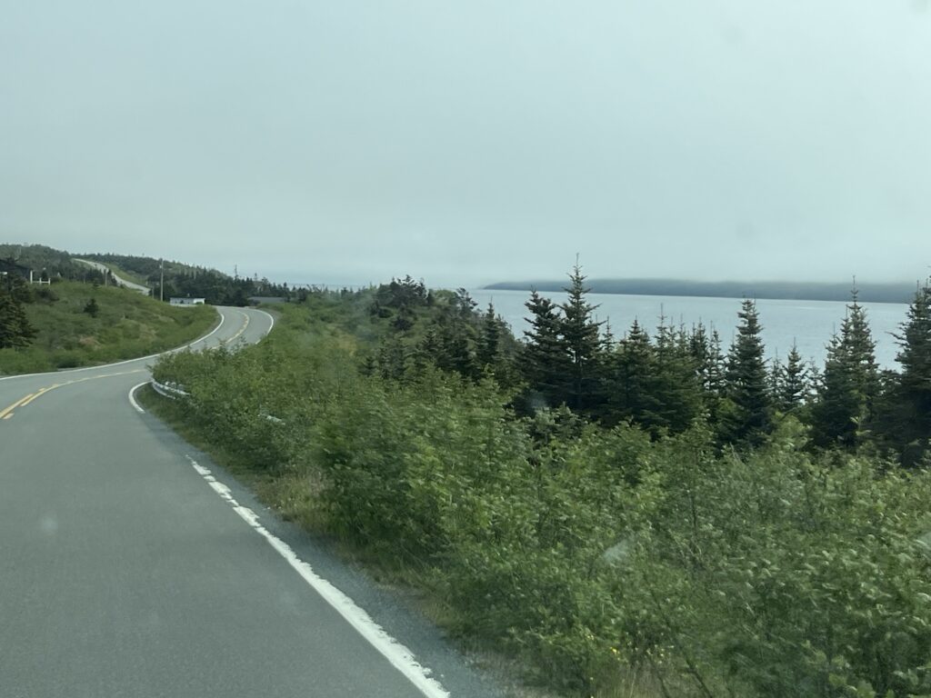
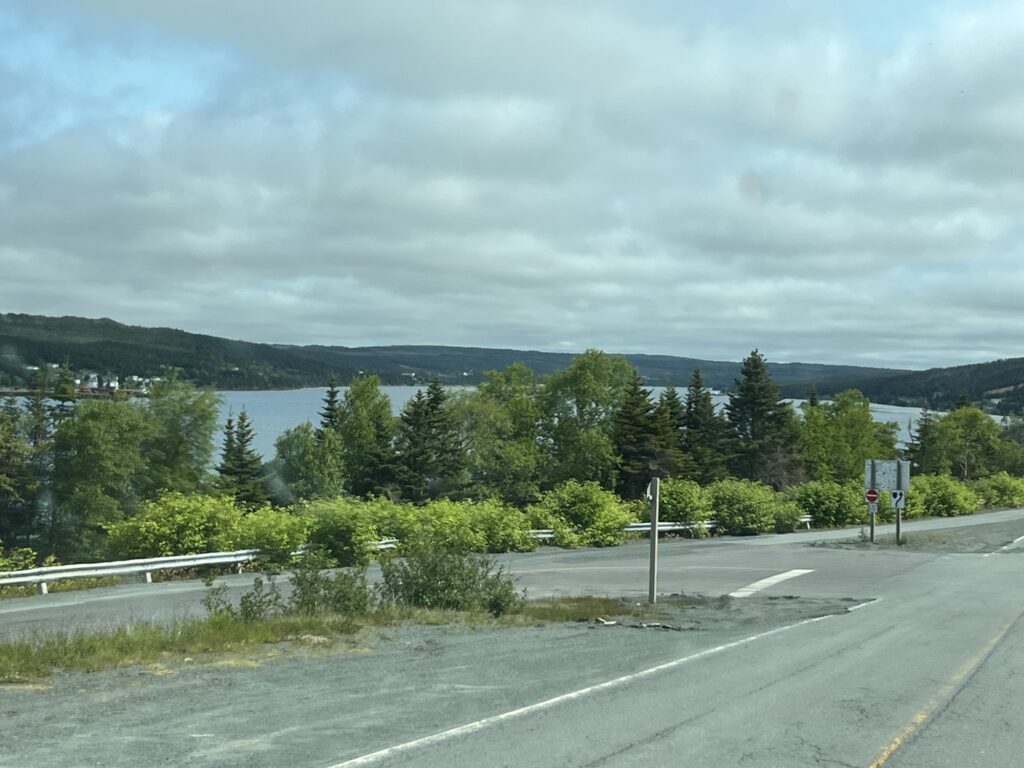
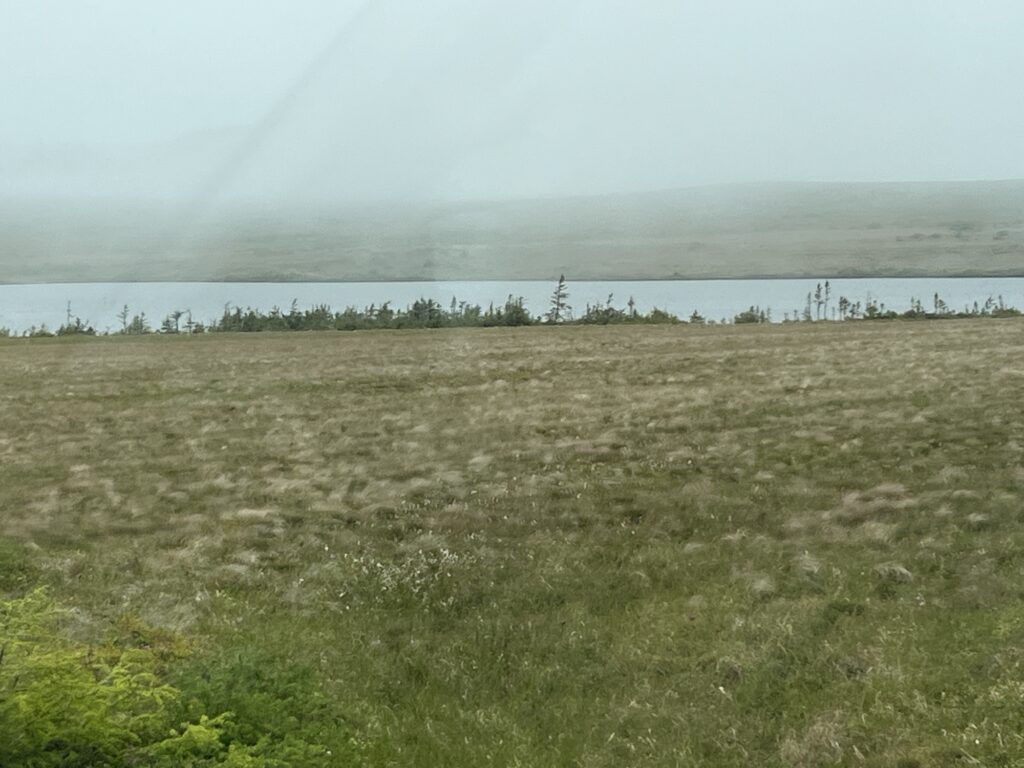
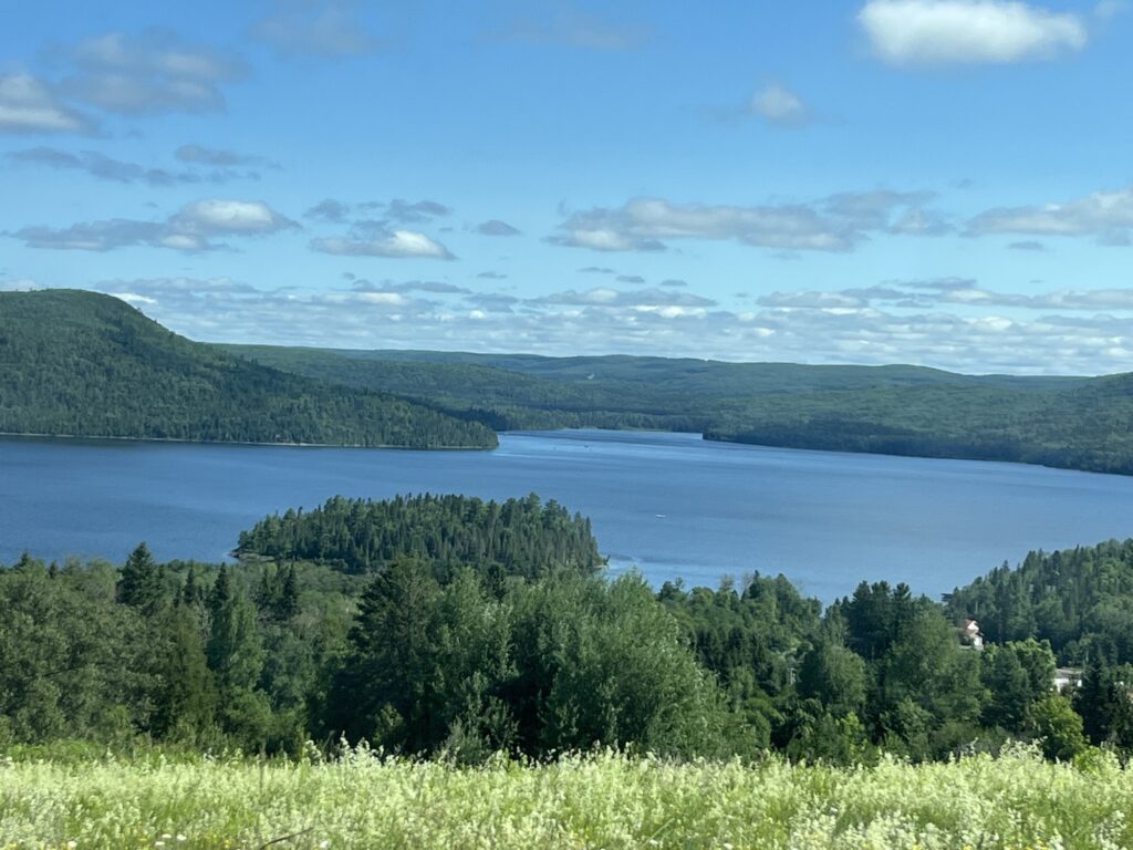
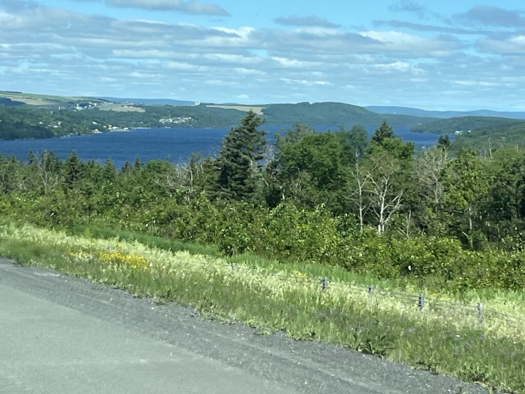
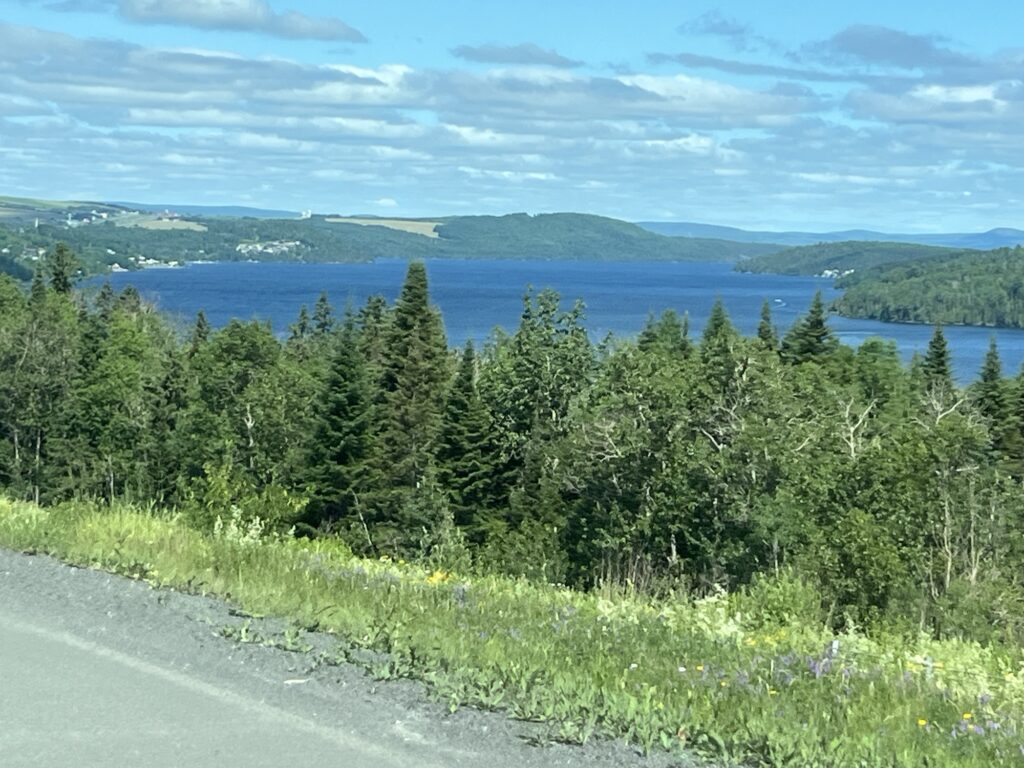
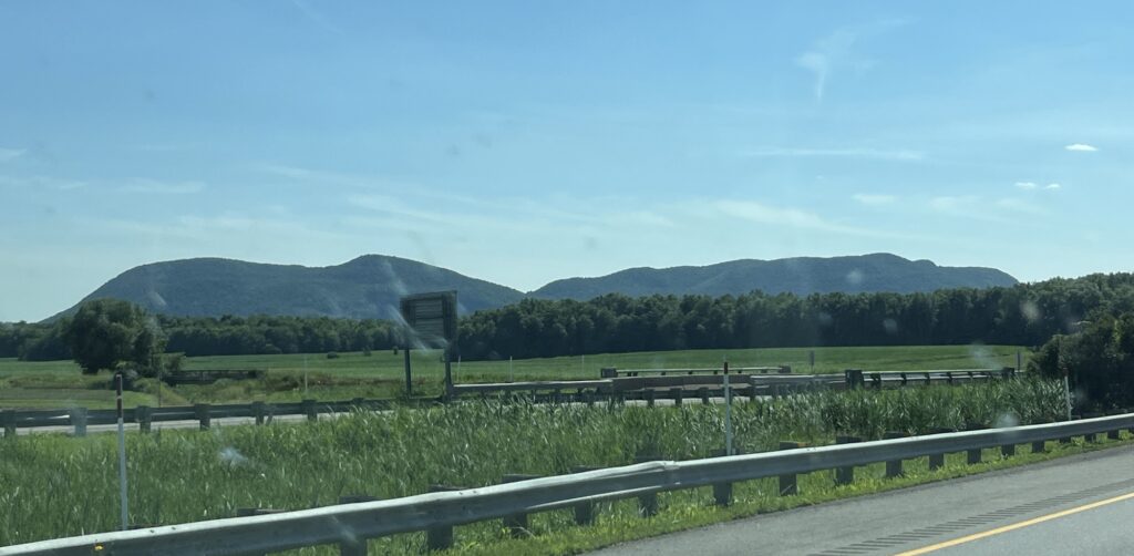
Returning to the Trans Canada Highway we head North towards the Québec border. It’s Sunday morning and the traffic is almost nonexistent as we wind our way along the shore of the St John River. The highway offers some lovely views of the river valley.
Crossing into Québec we also return to Eastern Daylight Time gaining an hour back. This leads me to conclude that we would be arriving at Drummondville before 2:00pm. As Drummondville is only about 3hrs from home, I put it to Barb that we could skip one last night of camping in the van and drive straight home and sleep in our own bed. Decision made! Home we go.
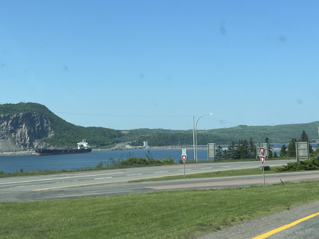
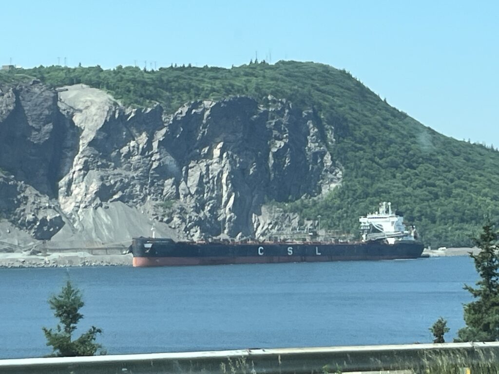
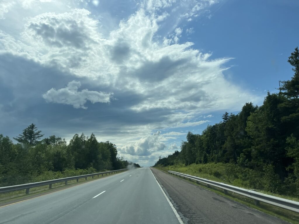
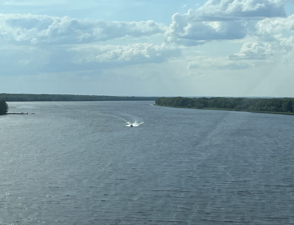
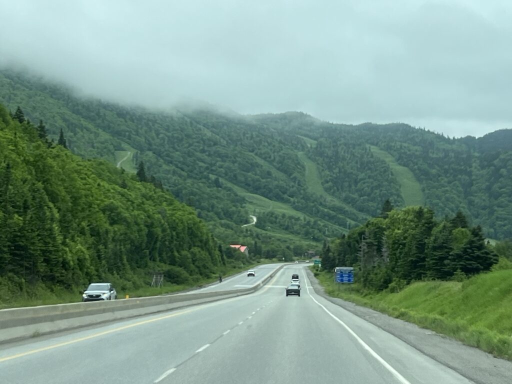
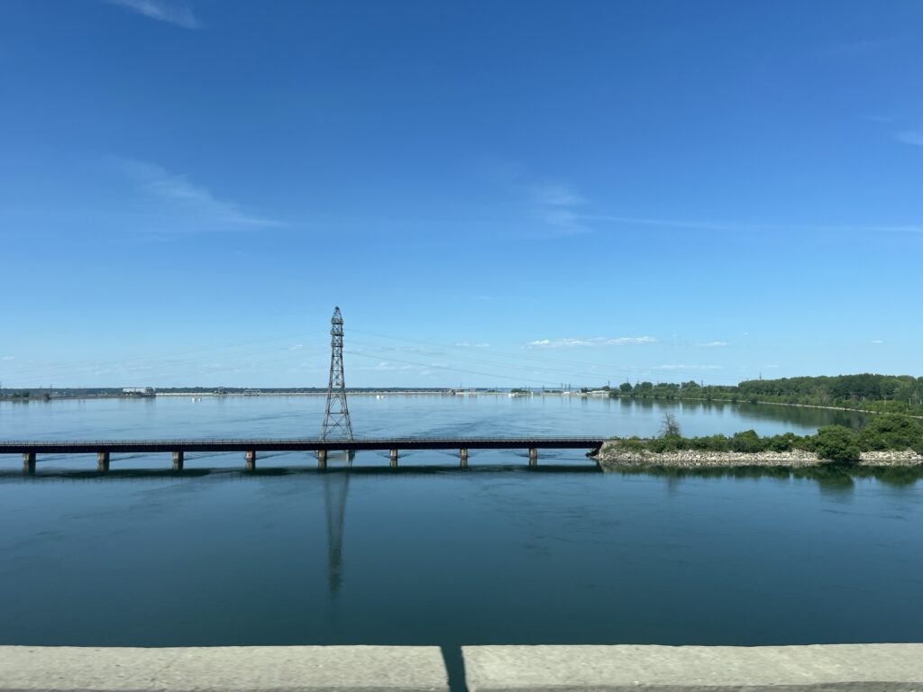
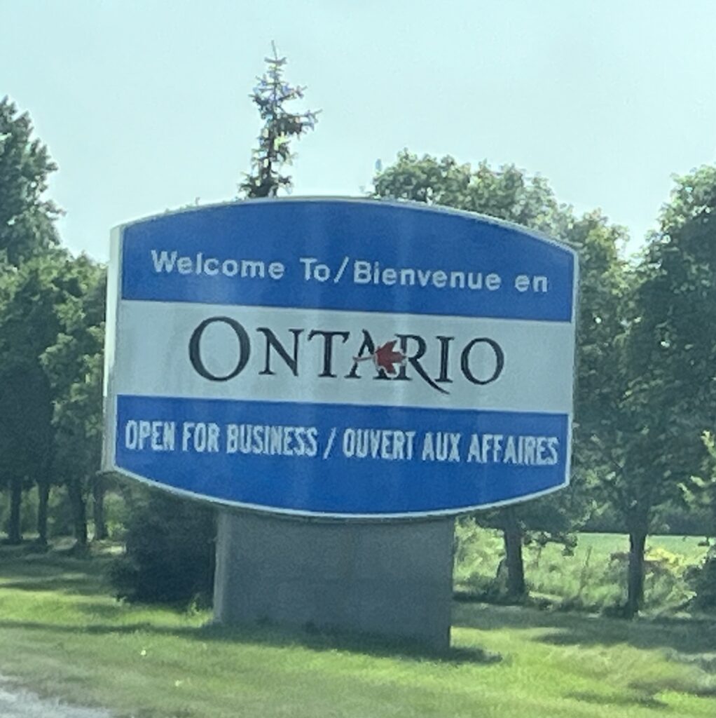
Traffic along the St Lawrence South shore is busy and gets busier the closer we get to Montréal, but we only get stopped a few times and make good headway. As we have done before, we take Autoroute 30 across the south side of Montréal towards Salaberry-de-Valleyfield and then North across the St Lawrence River to Autoroute 20 where we head West towards Ontario.
We stop in Cornwall, ON for our last gasoline fill up and then head to the Long Sault Parkway to use the publicly accessible RV dump station where we empty our tanks one last time.
45min later we drive into our laneway, tired but happy to be home. 11hrs of driving and we have a pizza waiting for us thanks to our daughter.
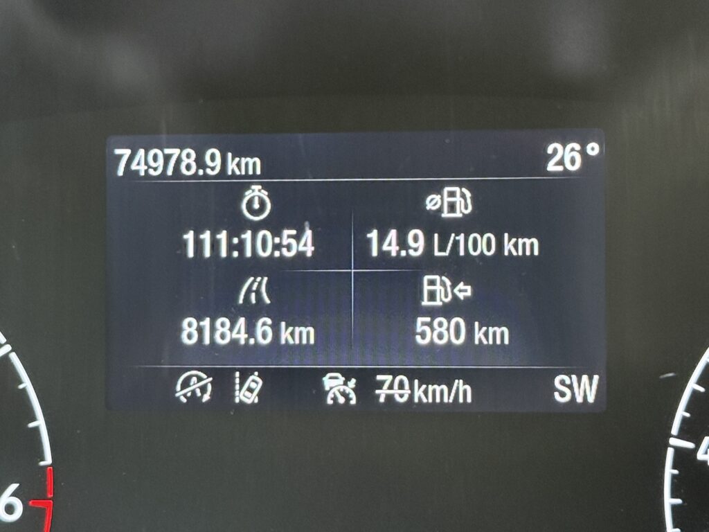
In all, 28 days to cover 8,184km. The total drive time being just shy of 112 hours and the campervan now has almost 75,000km of exploration completed. Where will we go next?