This was the second time we had camped at https://campingpointerdl.ca/en/ and would highly recommend the campground for anyone passing through this area. The sites are clean and mostly level with decent hookups. The service buildings are brand new and thus well lit and clean. The showers are individual, spotless and rate a 10/10 (not exaggerating).
Our route out of town took us through the historical downtown of Rivière-de-loop before depositing us back onto the Trans-Canada Highway heading towards New Brunswick where we would spend a few hours heading South.
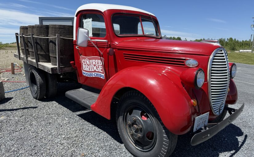
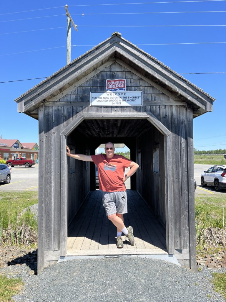
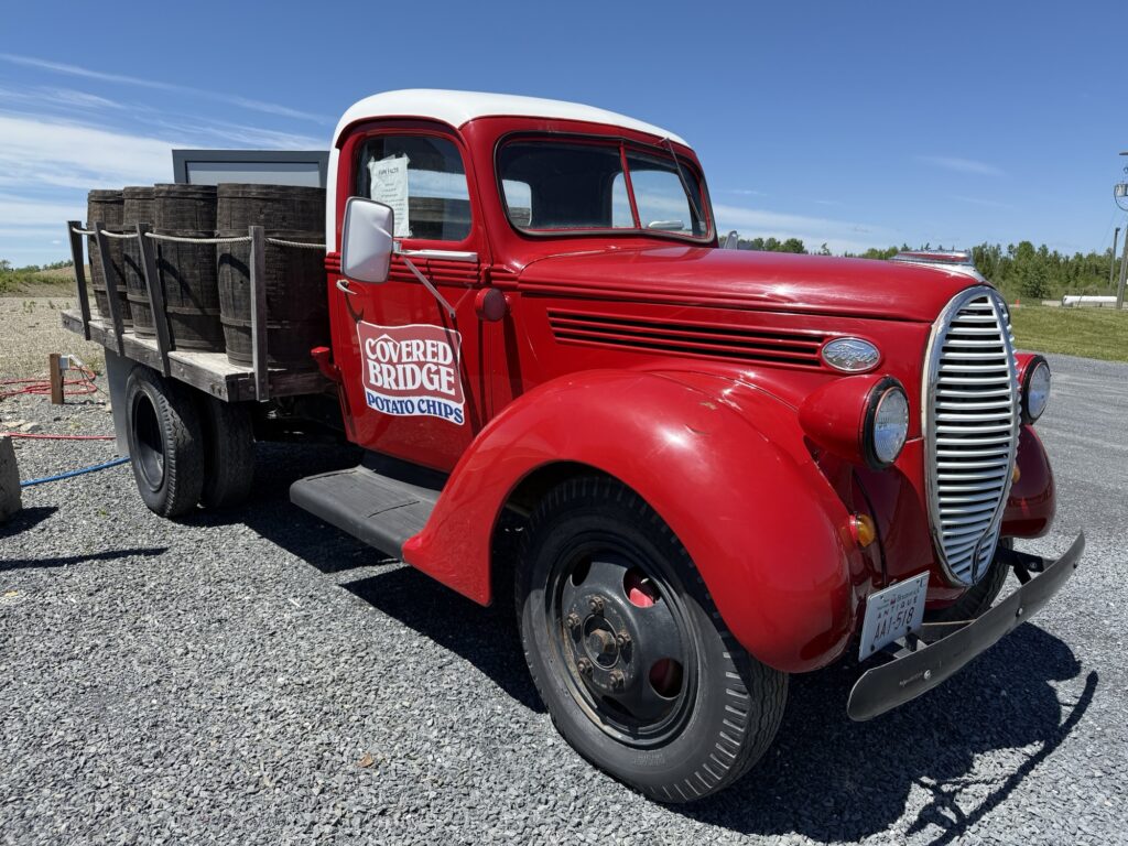
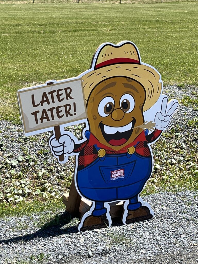
We stopped near Hartland, NB to visit the Covered Bridge Potato Chips location forgetting that it had burned to the ground in 2024. They have opened a temporary store in a trailer. Upon discovering this, Barb exclaimed “I was expecting it to be bigger!”
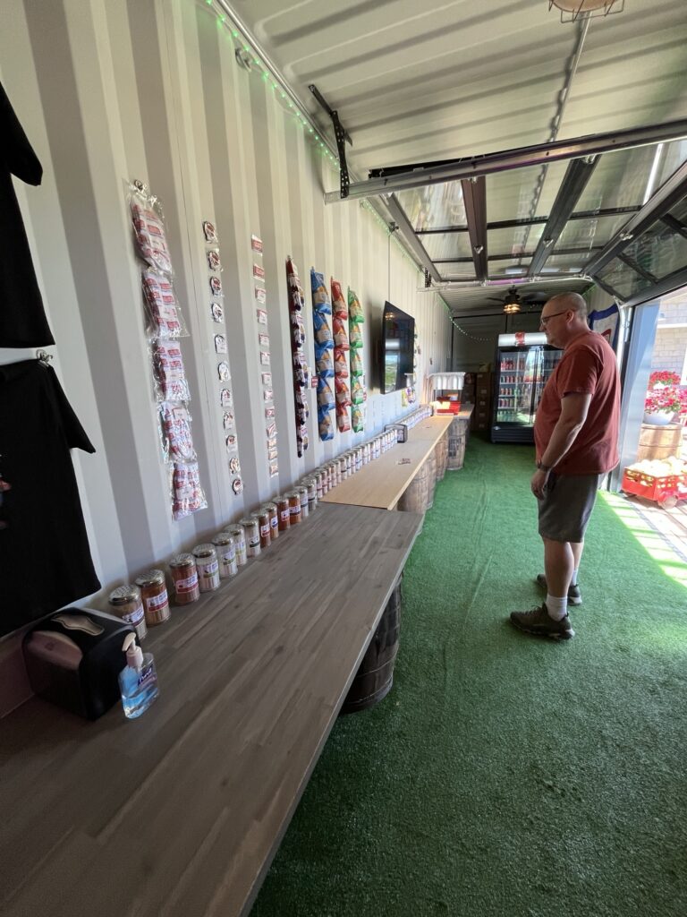
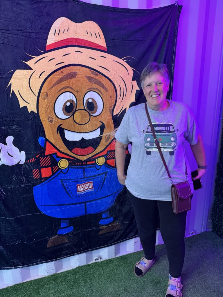
A few shots in and around Covered Bridge Store
We parked and went in to look around and ended up purchasing 4 bags of chips (crisps) in various flavors (as one does) before returning to the van where we enjoyed a grilled smoked meat sandwich accompanied by cheddar cheese chips. Mmmm.
2 more hours of highway driven and we stop for gas near Gagetown, NB. The middle of nowhere as I could not see any community nearby to support the business, but here it was busy and thriving.
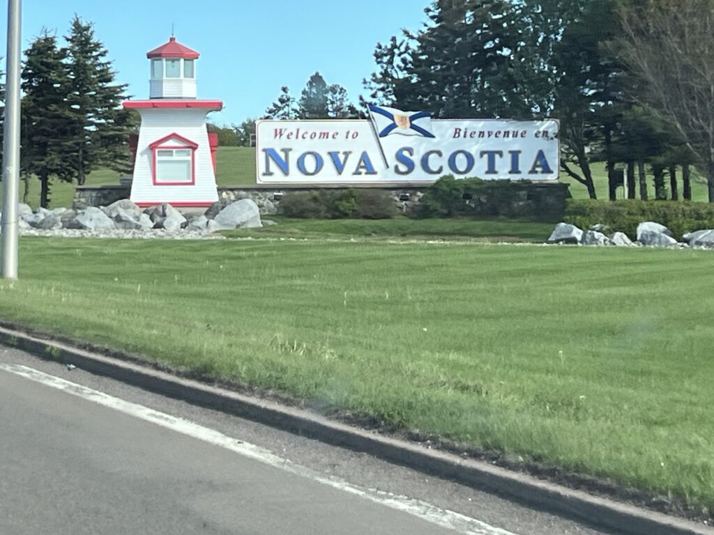
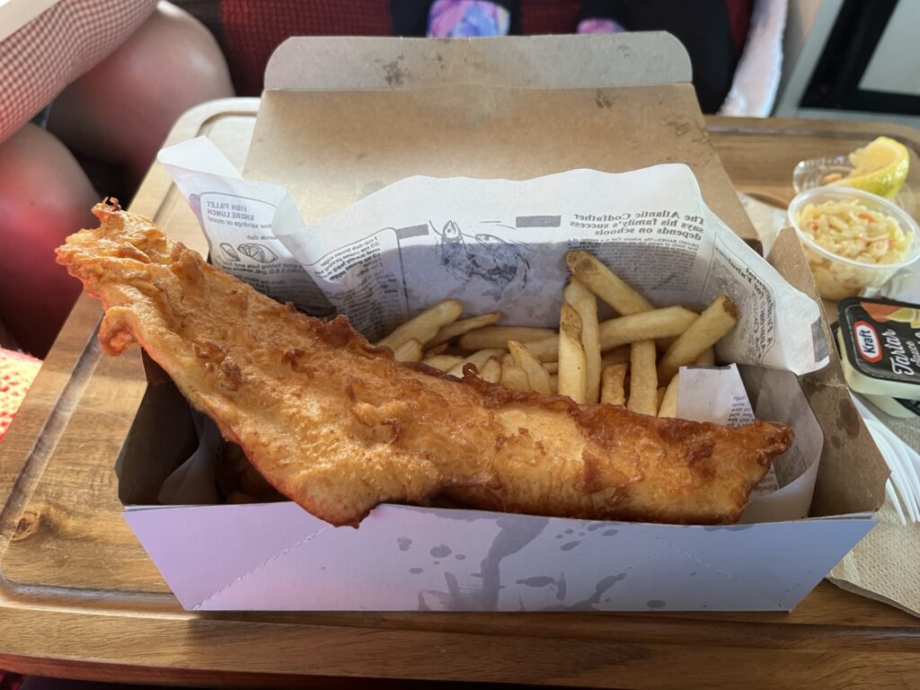
Another stint of highway driving and we cross into Nova Scotia where we stopped at Masstown, NS for Fish & Chips.
Haddock & Chips. Yummy!
Last driving leg today saw us drive to New Glasgow, NS where we have parked up for the night at the Atlantic Superstore (after confirming with store staff that this would be OK).
This ends our 2-day sprint to Canada’s East Coast. From here things will slow down considerably as we take our time exploring and sightseeing. Tomorrow we are heading to Cape Breton.
It wasn’t supposed to be a long day but it turned out to be the longest of this trip. Here’s how it all came to be.
The day started with us enjoying a slow start to the day. We had a light breakfast and then went to the beach expecting to see the tide in but it was out again exposing a long stretch of beautiful beach sand. The pictures below are taken 15min apart and show the influx of elementary school children on the beach enjoying what we assume was an end-of-school outing.
New River Beach Provincial Park, NB
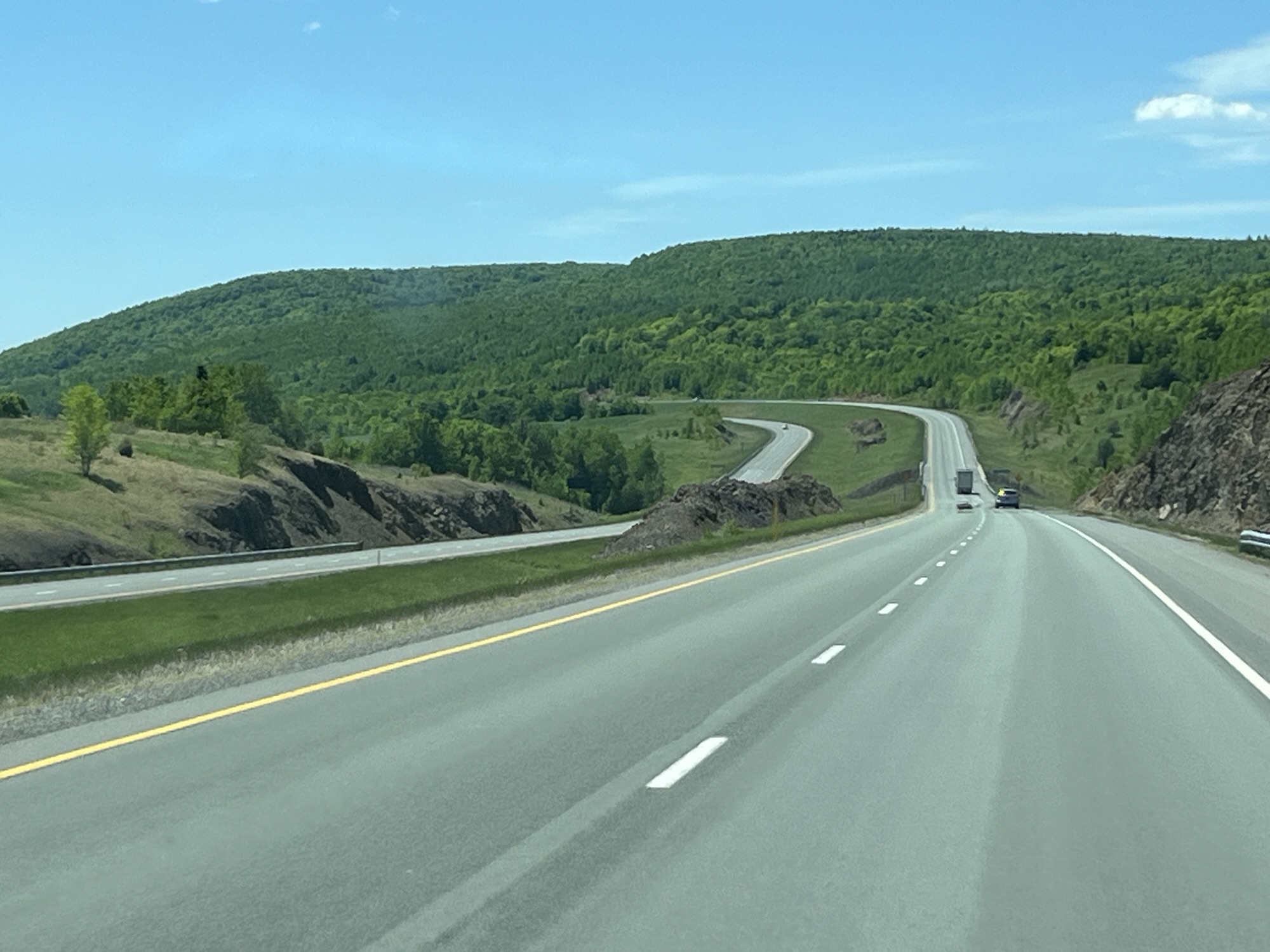
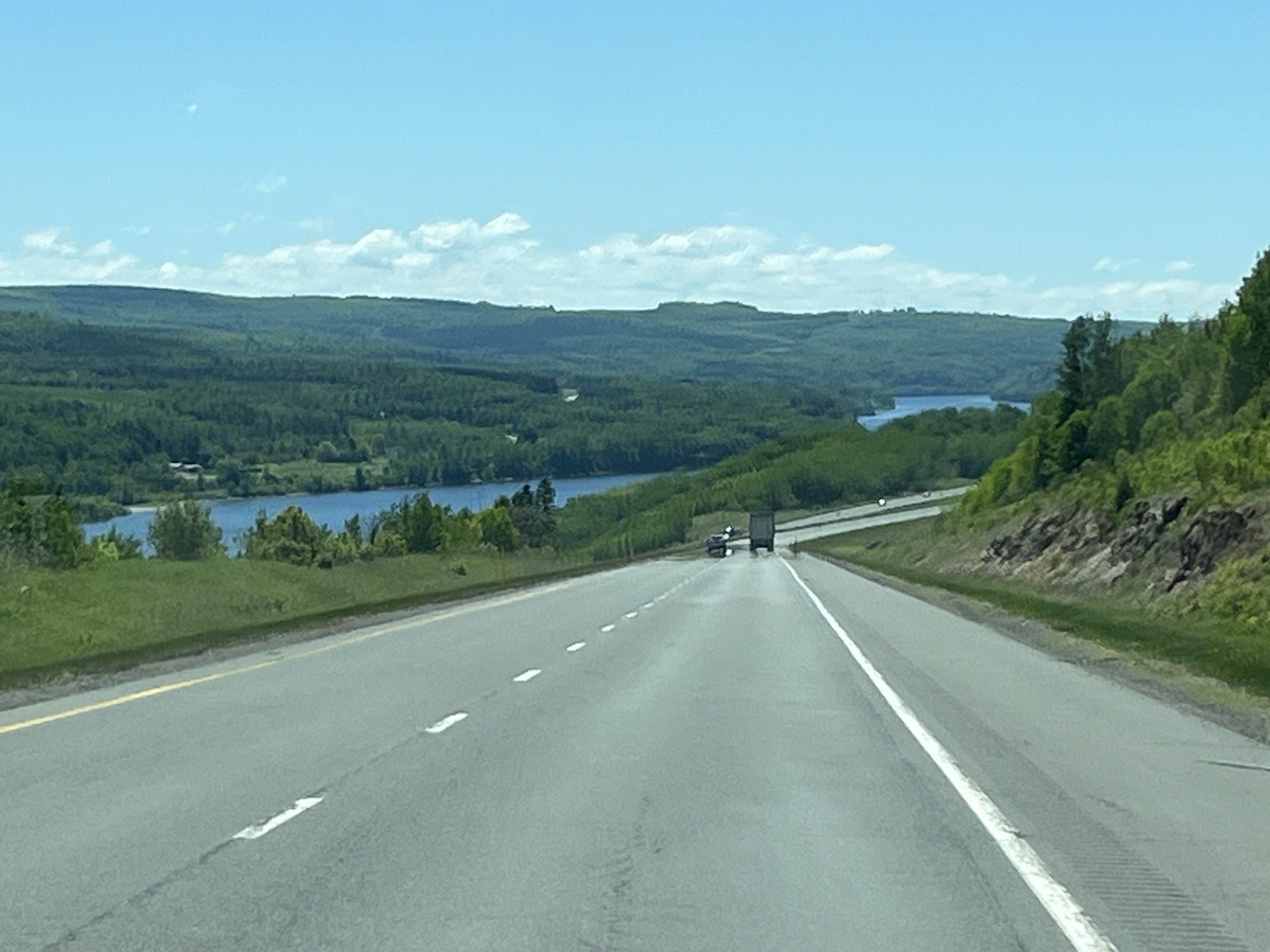
We left the campground at 10:30am and headed West towards St. Stephen where we turned North towards Fredericton. The pictures below show some of the backwoods beauty of this province.
After joining Hwy 2 and driving North for a few minutes, we decided to leave the highway and drive along the side of the Saint John River on the old highway. This led us to seeing a black bear cub as he climbed over the guardrail towards the road in front of us. Yikes! 😳 Brake hard, he sees us & returns to the safety of the trees. Phew. No pictures as it was all over in a second. We stopped in Meductic and ate lunch in the van overlooking the river.
Saint John River
Shortly after lunch we stopped in Hartland to look at the worlds longest covered wooden bridge. It was closed for construction and as no traffic was able to cross it gave me an excellent chance to view the inside of the bridge by standing in the roadway.
Hartland Covered Bridge, Hartland, NB
Just North of Hartland we passed a more modern crossing of the river and then we rejoined Hwy 2 towards Edmundston, NB.
Saint John River crossing, Perth-Andover, NB
We pulled into the Grey Rock Casino in Edmundston at about 3:30pm. We were supposed to end our day here and camp out in the parking lot for the night but decided that it was too early to stop and so just picked up a cup of coffee and rejoined the highway.
Our initial thought was to return to the campground in Rivière-du-Loup; however, as it was only 90min North and we were going to cross back into Eastern time, we would arrive at 4:00pm EDT so we looked towards Levis and found a Craft brewery near St. Pascal that welcomes campers. New destination entered into the GPS.
It was a short while later that I realized that rather than stop just to sleep and then continue, why not simply continue? Home was only 7hrs away. We stopped in Levis for fuel and then continued to Drummondville where we stopped at a rest stop and had a quick meal in the van. Still feeling awake and energetic, we continued onwards towards Montreal where we left autoroute 20 and joined autoroute 30 which would take us around the south shore of Montreal. Below are a few picture of the sunset that we saw shortly before Montreal.
By the time we get around Montreal and cross the St. Lawrence River we were just 90min from home. We turned West onto autoroute 20 towards Cornwall, ON. After Cornwall we continued to Hwy31 where we turned North towards Winchester. At this point we were almost home and would arrive by 11:30pm. It turned out to be a 12 hour day with time taken out for stops and eating. In all I figured we drove for about 10 hours in which time we left the Bay of Fundy and returned to Eastern Ontario. A distance of about 1100km.
This concludes our East Coast Tour for this year. We have places we want to go back to as well as places yet to visit, as such we will make the drive again, when? We’re not sure yet, maybe a year or so.
Today I celebrate the completion of 60 trips around the sun. I get to spend it near and on the ocean. This day will be epic.
We complete our morning routines and prepare the campervan for a day of travel and head out shortly after 10:00am. Our first stop is at the local fish market where Barb picks up a bag of frozen Digby scallops and haddock to take home. Then a short drive along Water St to the Admiral Digby Museum which is across the street from the Digby Baptist Church.
The baptist church sits on the site of a home once owned by one of Barb’s ancestors, William McDormand Jr. After his death in 1806, his 2nd wife opened their home to host baptist congregations. Eventually the hose was replaced by the church.
Digby Baptist Church
A guide within the museum showed us about their collection and then took to their genealogy archive where we spoke for a time with the archivist about the McDormand’s as they arrived in this area in 1761. There are now descendants across North America. We need to complete more research in Ontario in order to definitively link Barb’s ancestor, John Dorman to one of the McDormand family’s in Nova Scotia. Another reason to return to this area.
After getting a few groceries and filling the vans fuel tank we had time to take a short drive to Gulliver’s Bay (Hole). A small bay just a few miles West of Digby, it was here that the McDormand families first settled in Nova Scotia after coming North from New England.
Gulliver’s Bay, NS
After enjoying a quiet lunch in the van and doing a little reading, it was time to head toward our ferry. However, first a quick detour to Prim’s Point lighthouse that guards the entrance to the Annapolis Basin from the Bay of Fundy.
Prim’s Point, Digby, NS
After walking about Prim’s Point it was now time to head to the ferry that would take us across the Bay of Fundy to Saint John, NB.
Digby Ferry Terminal
We arrived at the terminal about 1 1/2hrs before departure (they asked for 1 hr) and boarding began at 3:00pm. The ferry departed at 3:55pm, 5min ahead of schedule. In just a few minutes the ferry had turned to face across the Bay of Fundy and we were out of the Annapolis Basin and on our way.
Views astern and of Prim’s Point lighthouse
We began by enjoying a little time on deck in the sunshine and took a few pictures (above and below).
As the ferry crossing would take about 2 1/2hrs, we decided to grab a light dinner onboard. Barb ordered fish & chips and I had a burger & fries. Whilst ordering I happened to mention to the staff serving us that it was my 60th birthday. This resulted in them singing “Happy Birthday” to me and then adding a piece of free mud pie dessert to my tray when they delivered it to our table!!!
After enjoying our meals we settled into one of the very comfortable lounges onboard and did some reading to wile away the time. Shortly after 6:00pm we pulled into Saint John harbour and drove ashore.
Saint John, NB
We headed West out of Saint John to our overnight destination, New River Beach Provincial Park. It was only about a 30min drive from the ferry and appears to be very quiet amongst the trees a short distance from the waters edge.
New River Beach Provincial Park
After setting up for the night, Barb wandered off to the beach while I wrote this post in the van. Here are the pictures Barb took before being chased from the beach by black flies.
Tomorrow we head North in New Brunswick, come back to see what we discover.
We awoke to rain and mosquitoes. The idea of hiding away inside our van for the day was not appealing, so we left Panmure Island Provincial Park even though we had paid for a second night. We figured the weather had to be better elsewhere.
We started by driving from the campground onto Panmure Island to take a look at the lighthouse, the oldest wooden lighthouse on the island!
Panmure Island, PEIPanmure Island lighthouse, PEI
From Panmure we headed South and the East to look at Cape Bear lighthouse. As you can see, the sun came out.
Cape Bear lighthouse, PEI
Along the way we passed lots of lilacs still in full bloom and potato fields with the plants now appearing above the soil in nice neat rows.
Scenes from PEI
As our plans had always been to leave PEI by ferry because it was something we’d not done on our last trip here many years ago, so we headed to Woods Islands to look at the lighthouse and check ferry availability.
Woods Islands lighthouse, PEI
The lighthouse did not disappoint, but the ferry did. They only had overflow available for the 3:00pm ferry or we could reserve for the 6:00pm ferry. It was 12:30pm and so we decided to drive back to the bridge and take it instead.
Along the way we stopped at Point Prim to look at the lighthouse. It is the oldest lighthouse in PEI and is built of masonry, is round and finished with wood shingles. It was completed in 1845 as an aid to sailors entering the Charlottetown harbour.
Point Prim, PEIPoint Prim lighthouse, PEI
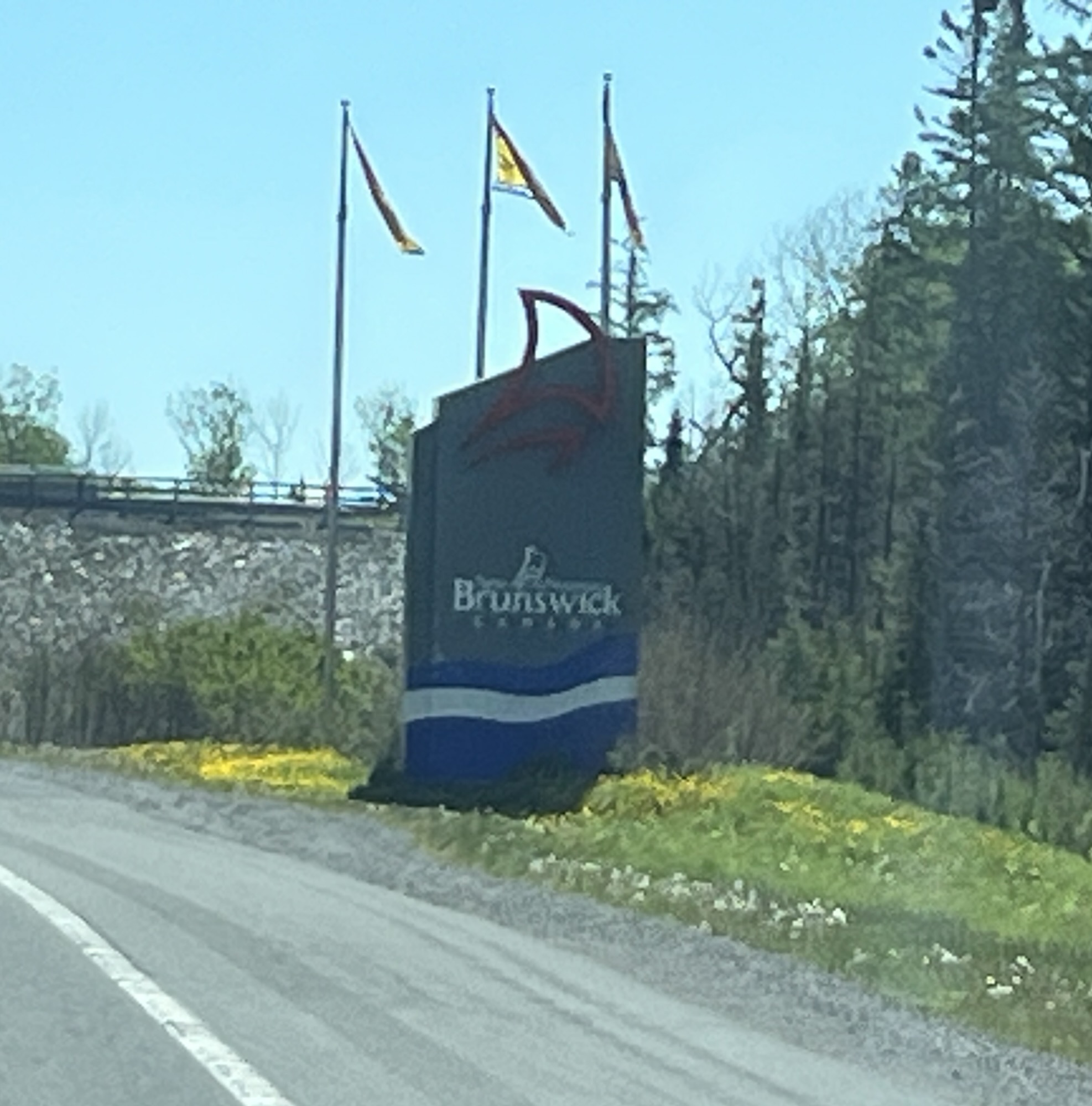
Crossing the Confederation Bridge took us from PEI and back to New Brunswick. We were stopped for road repairs on the bridge which gave us a good opportunity to look about and observe that concrete bridges also flex under the load of moving vehicles. Hmmm.
Confederation Bridge
Entering into Nova Scotia we stopped at the visitor center and we’re welcomed by a piper. The light rains we’re about to get worse according to the darkening skies under which we were soon driving.
We were headed to Colchester, NS and were driving up and around Westchester mountain when the skies became really dark and the winds picked up. We paid the toll at the Cobequid Pass toll plaza and then the rains came. The windshield wipers were on full and the rain covered highway shone like an ice covered pond. We slowed (obviously) to about half the posted speed limit and luckily the worst was over in just a few minutes.
We stopped for fuel, dinner (fish & chips) and a few groceries at the Masstown Market. Quite a place that has just about everything you could want in one stop.
Masstown Market Fish market
From the Masstown Market we drove 2km to the Elm River Campground as it had been a long day. Below is our site and a quiet one we are hoping it shall be. Good night.