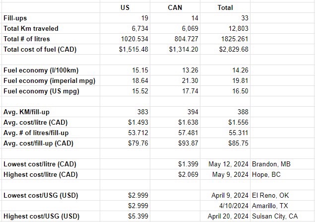
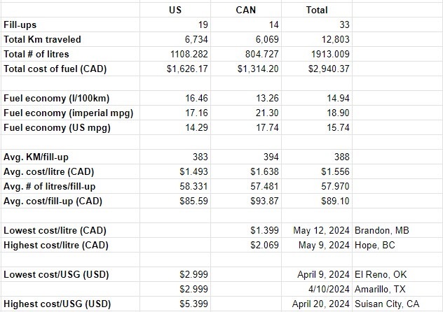
*** Revision: Turns out that I got the math wrong when converting USG to Litres which understated the amount of fuel purchased while in the U.S. I have attached a revised image below and left the original so that you can see the difference. ***
It’s been a few weeks since arriving home after our Cross-continent tour and it’s about time I shared some statistics from the trip.
The first question is always about where we stayed each night. Did we find suitable camping locations? So, here are the stats for that.
21 nights free camping. This includes family, Harvest Hosts locations, BLM camping and parking lots.
5 nights at private campgrounds.
18 nights at a National, State or Provincial parks. These were all serviced sites.
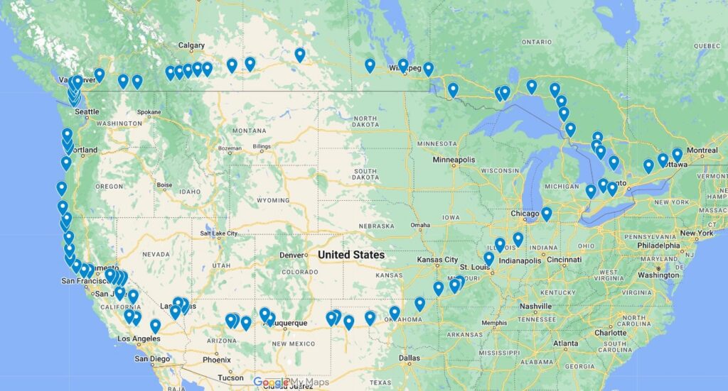
That’s a total of 44 nights of camping in our van. Which leads us to, where did we go? Here’s a map that shows you our route.
2024 Cross-continent tour
Lastly, how much fuel did we use and what did it cost. Here is a table for you to review.
Original (wrong) # of liters purchased in the U.S. Revised # of liters purchased in U.S.
So there you have it, a few statistics about the trip. Hoping you find them interesting.
This is it, our last day on the road as part of this adventure. There is a sense of sadness that it’s almost over yet we are looking forward to being home and enjoying Spring around our home.
After a quiet night we awake fairly early and begin to prepare the van for the drive home. We enjoy a light breakfast with Kath & Al and set off shortly before 10:00am after thanking them for the wonderful hospitality they’ve extended to us over the past couple of days.
We head through Meaford and proceed onto Collingwood before turning slightly South towards Barrie and then onto Orillia, ON. It’s Friday before the 3-day Victoria Day weekend and as such there’s more traffic on the roads as many have taken the day off work so that they can get to their weekend destinations ahead of the main thrust of traffic later in the day.
Leaving Orillia, we head towards the Kawartha Lakes region and then onto Peterborough where we pick-up Hwy-7 and head East towards Norwood, ON. We stop for fuel and then a quick picnic lunch that empties the fridge of the last of our groceries.
Back on the road we head towards Sharbot Lake Provincial Park where we pay a day-use fee to allow us access to the tank dumping facilities. A little while later we leave Hwy-7 and head through Perth and onto Hwy-43 towards our home.
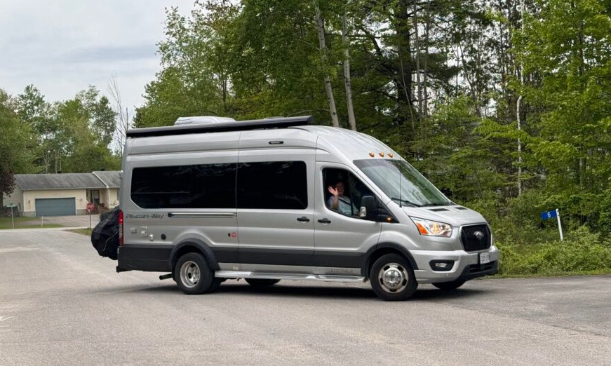
We stop to pick-up Shawarma for dinner and then head home where we are greeted by Mr. Milddogs who captures our return in the following picture.
Arriving home
And with that our Spring 2024 adventure comes to a successful conclusion. It’s been a blast and we’ve seen some wonderful places and enjoyed visiting with friends and family. Until next time, thanks for following along.
P.S. There will be a summary post for the journey in the coming days once I’ve had a chance to catch my breath.
Up and at ‘em by 7:00am and on the road by 8:30am and soon pass the halfway-point along the Trans Canada Highway.
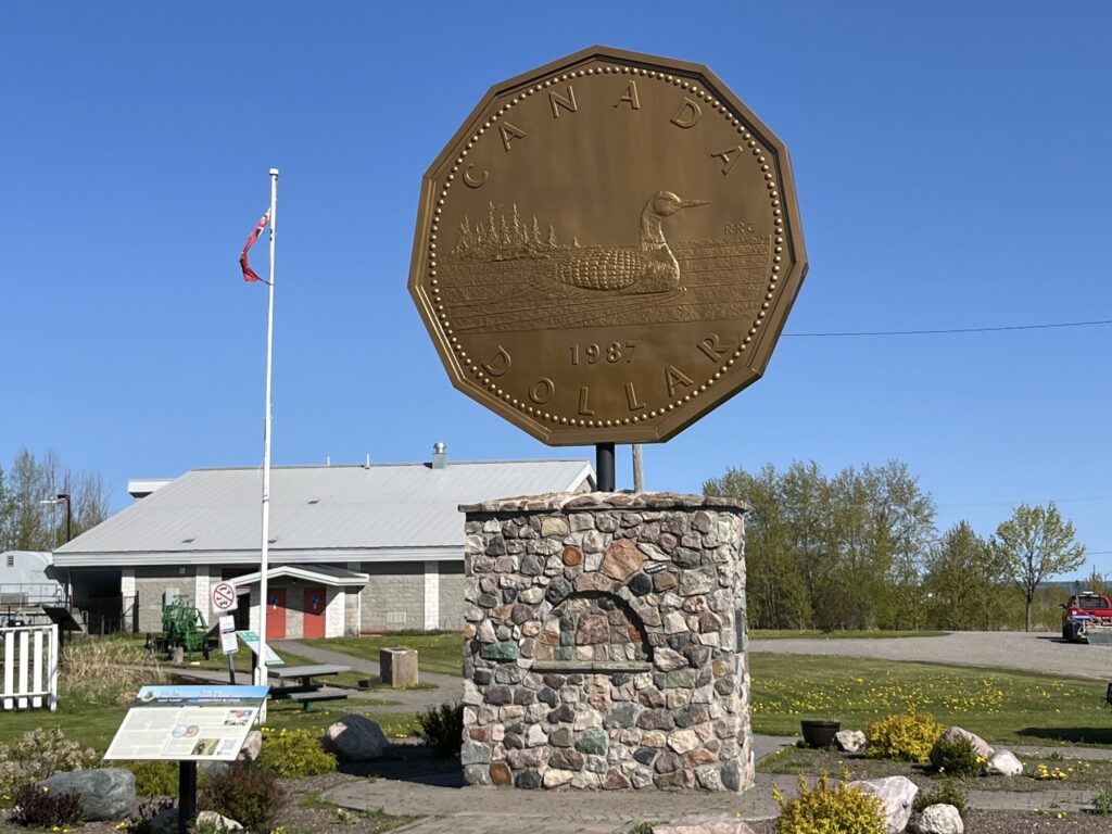
We head towards Sault-Ste-Marie and then turn East on Hwy-17. Our first stop is in Echo Bay, ON to see the giant ‘Loonie’. It’s here to recognize that the original Loon artwork used on the coin was by an artist from Echo Bay.
Echo Bay, ON
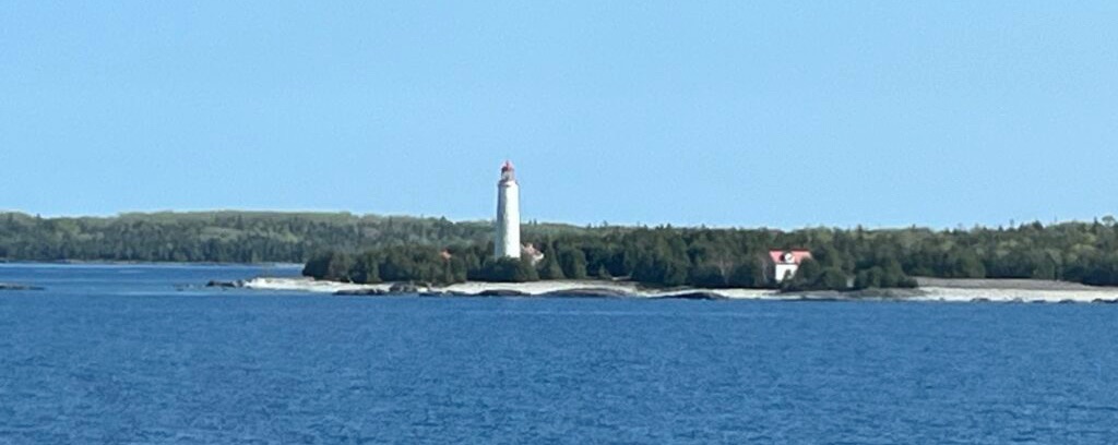
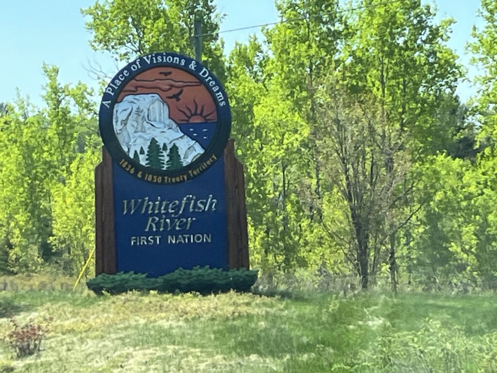
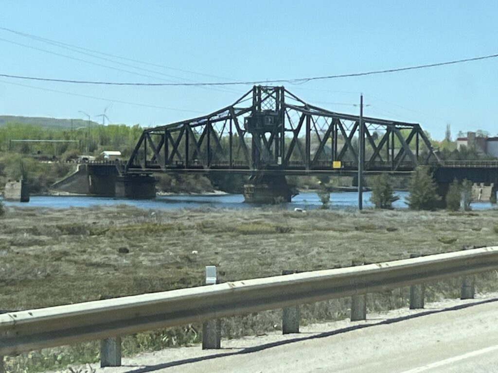
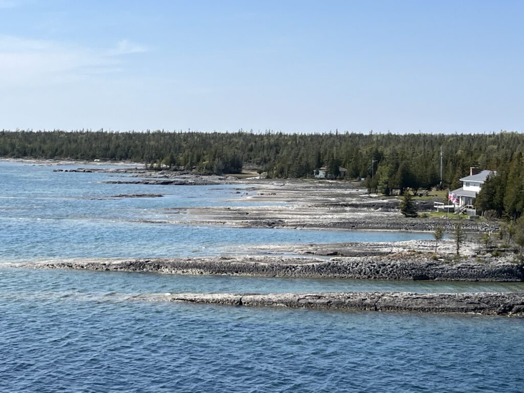
The drive eastward is steady and it takes about 3 hours to get to Espinola, ON. We stop for fuel and then head South on Hwy-6 to Little Current on Manitoulin Island where we stop for a picnic lunch.
Dam in Espinola, ONWhitefish River, ONLittle Current, ONLittle Current, ON
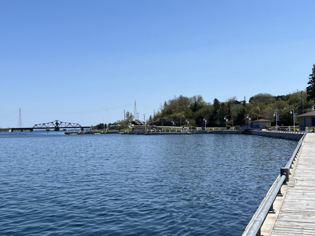
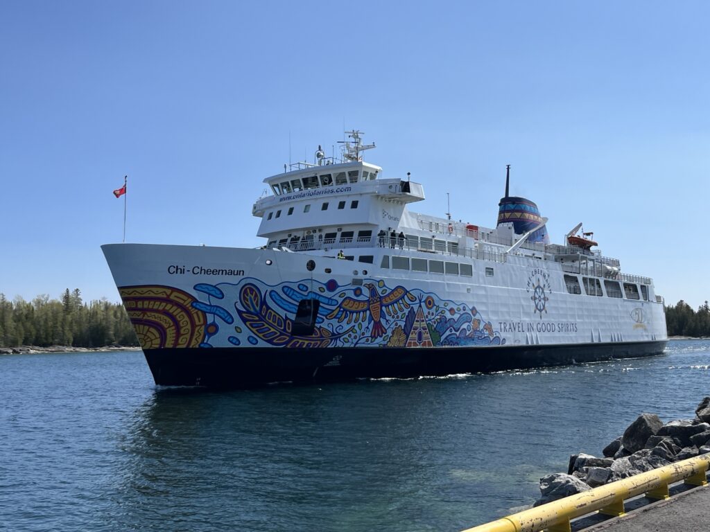
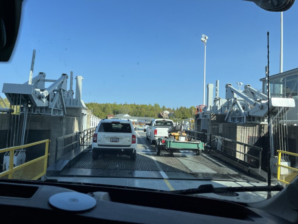
After lunch we continue further South towards South Baymouth, ON and check-in for our ferry reservation. We are heading to Tobermory, ON by way of the MS Chi-Cheemaun.
The ferry departs at 3:50pm which gave us an hour or so to look about the ferry port. Loading was easy and the ship is carrying barely a quarter of its vehicle capacity.
MS Chi Cheemaun arriving at South Baymouth, ON
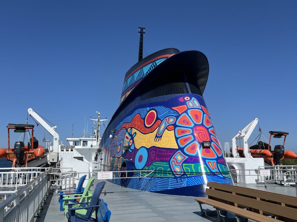
We depart right on-time and head out into Georgian Bay on Lake Huron. The crossing will take about 2hrs so we decide to have an early dinner on board and the spend time relaxing in the lounge.
Driving onto Chi-CheemaunAdmiring the artworkDeparting South BaymouthRocky shorelineApproaching Bruce peninsula
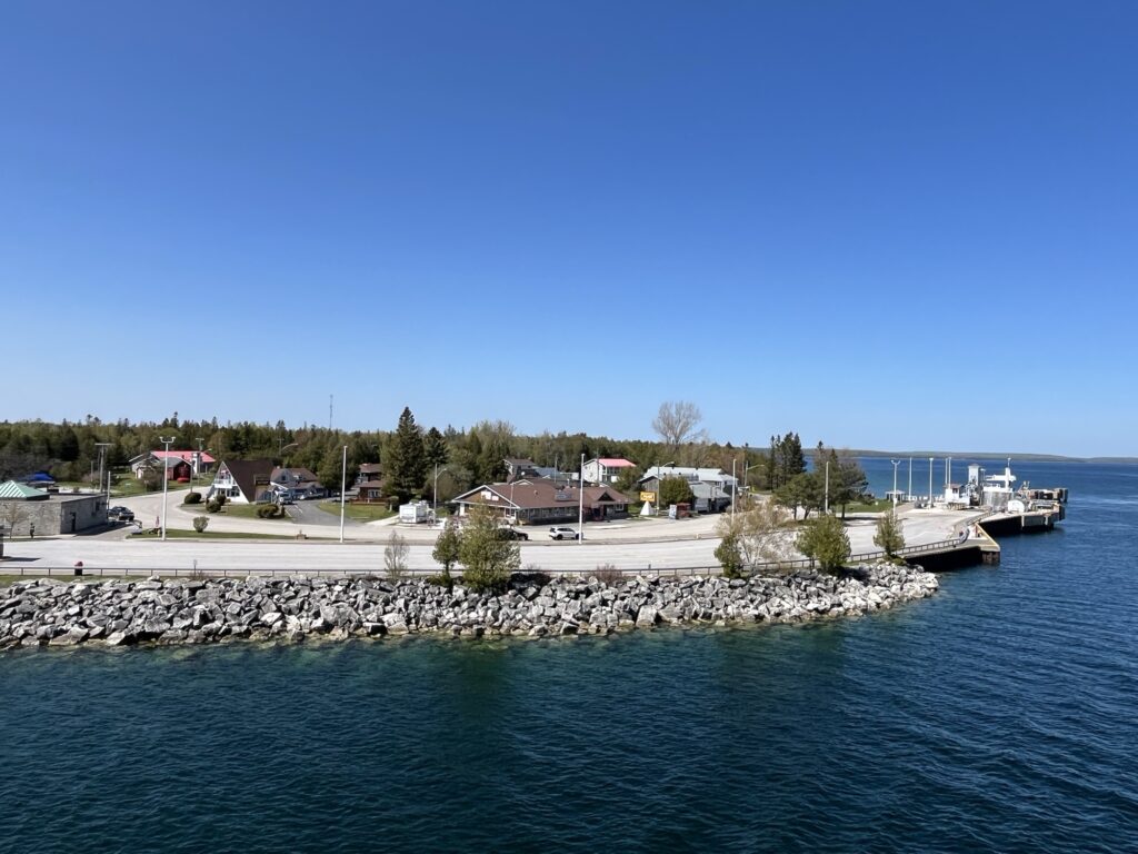
We were asked to return to our vehicles in preparation for arrival 15min ahead of actually arriving. As such we did not see the town of Tobermory as we arrived, instead this is our first view.
First view of Tobermory, ON
We passed through Tobermory and headed South on Hwy-6. We were soon driving through the familiar agricultural landscape of Ontario toward Wiarton and Owen Sound.
Wiarton, ON the home of ‘Wiarton Willy’Owen Sound, ON
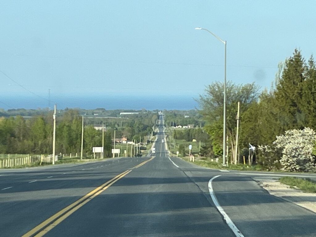
We head East along Hwy-21 towards Meaford, ON where we will be visiting family and resting for a couple of nights. Catch you all in a couple of days!
View East towards Meaford, ON and Collingwood Bay beyond.
According to Wikipedia, Lake Superior is actually called Giche-gami in Ojibwe but I’ve used the Gordon Lightfoot spelling for the title of this post.
Ahhh, after our night in Winnipeg, last night was soooo quiet. We slept until 7:00am and could have probably slept longer if we didn’t need to keep moving it along. We showered last night (showers get 8/10) and so this morning was a simple breakfast and packing up of the van. Tanks dumped and water filled, we were on the road by 9:00am.
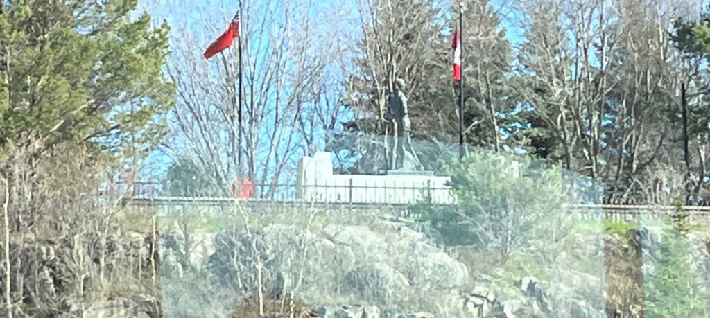
First priority of the day was fuel for the van and some 5G internet so that I could finish and upload yesterdays post. Barb located an Esso/Tim Horton’s in Thunder Bay which also had a really good 5G signal. Check.
Terry Fox memorial, Thunder Bay, ON
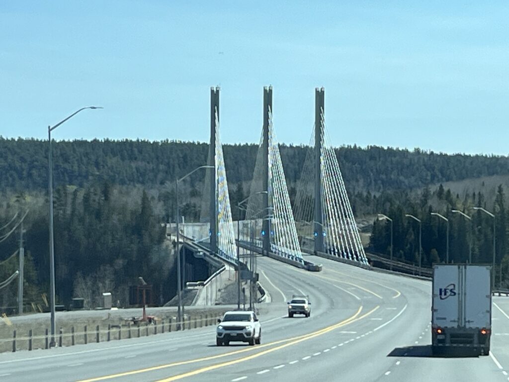
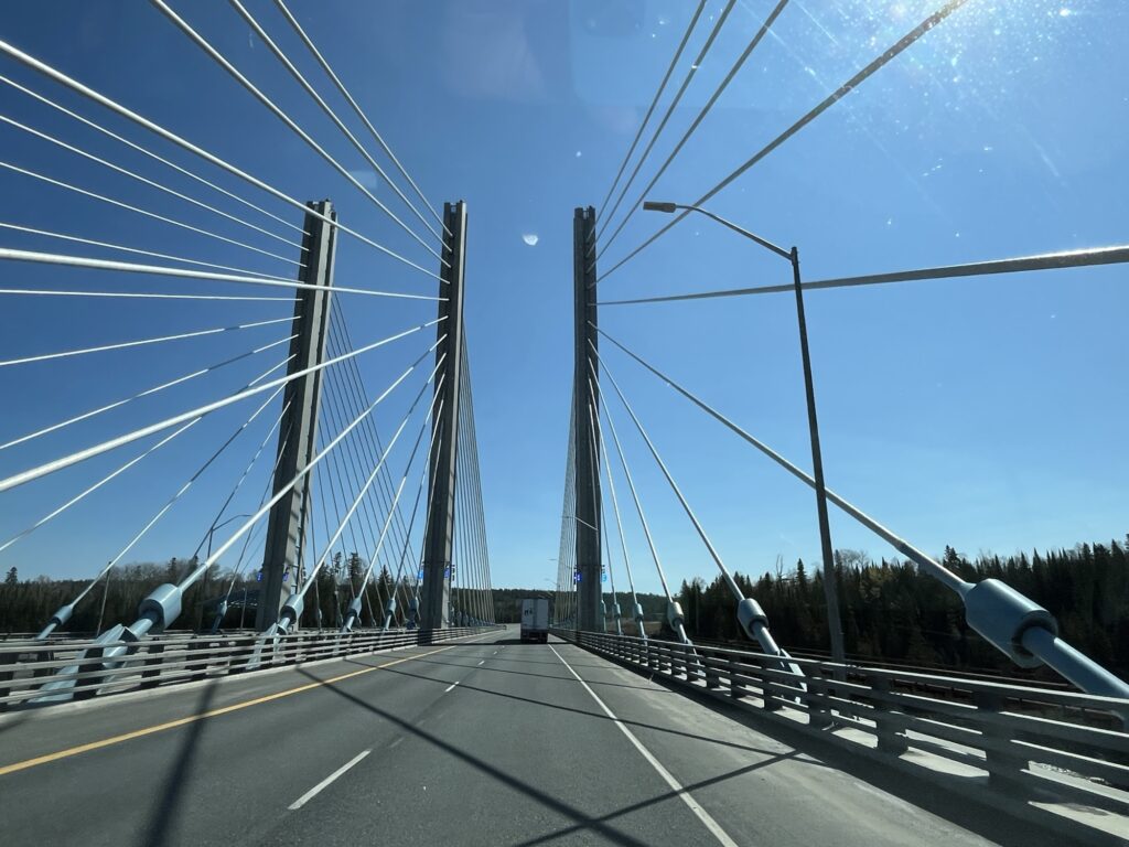
Back onto Hwy-17 East towards Nipigon, ON. Construction of new 4-lane sections slowed us a few times, but as the road was fairly quiet, we had no long waits thankfully. Passing the Nipigon River bridge and the Hwy-11 turnoff that we took two years ago, we continued on Hwy-17 towards White River and Wawa, ON.
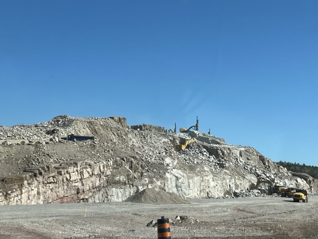
Nipigon River bridgeNipigon River bridgeExcavating entire hill for road construction material
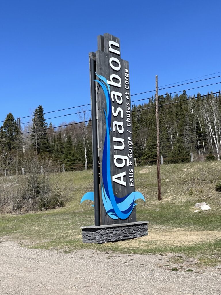
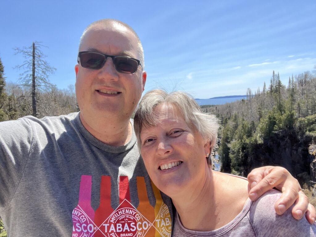
The road is in really good condition and the weather was beautiful making the driving easy. We stopped at the Aguasabon Canyon viewpoint to look at the waterfall. We had the place to ourselves.
Aguasabon Canyon and falls, Terrace Bay, ON
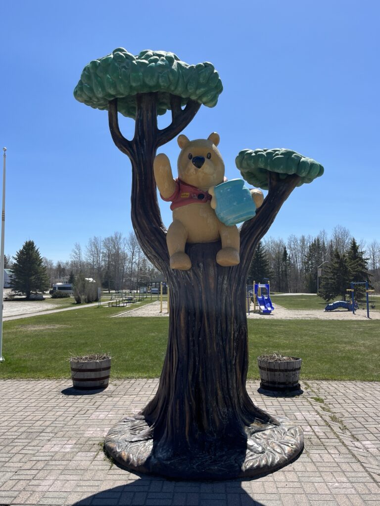
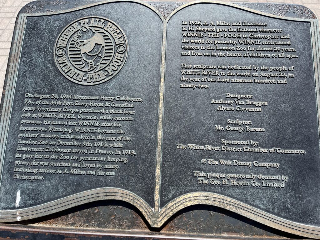
At White River we stopped at the visitor center and Barb got to visit Winnie-the-Pooh as we had done with our children 21 years ago. We also enjoyed a picnic lunch in the van before returning to the road.
Story of Winnie-the-PoohConnection between White River and Winnie
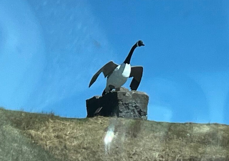
The visitor center in Wawa is still closed for the Winter and so we don’t stop but Barb managed to get a picture of the Wawa goose.
Wawa goose, Wawa, ON
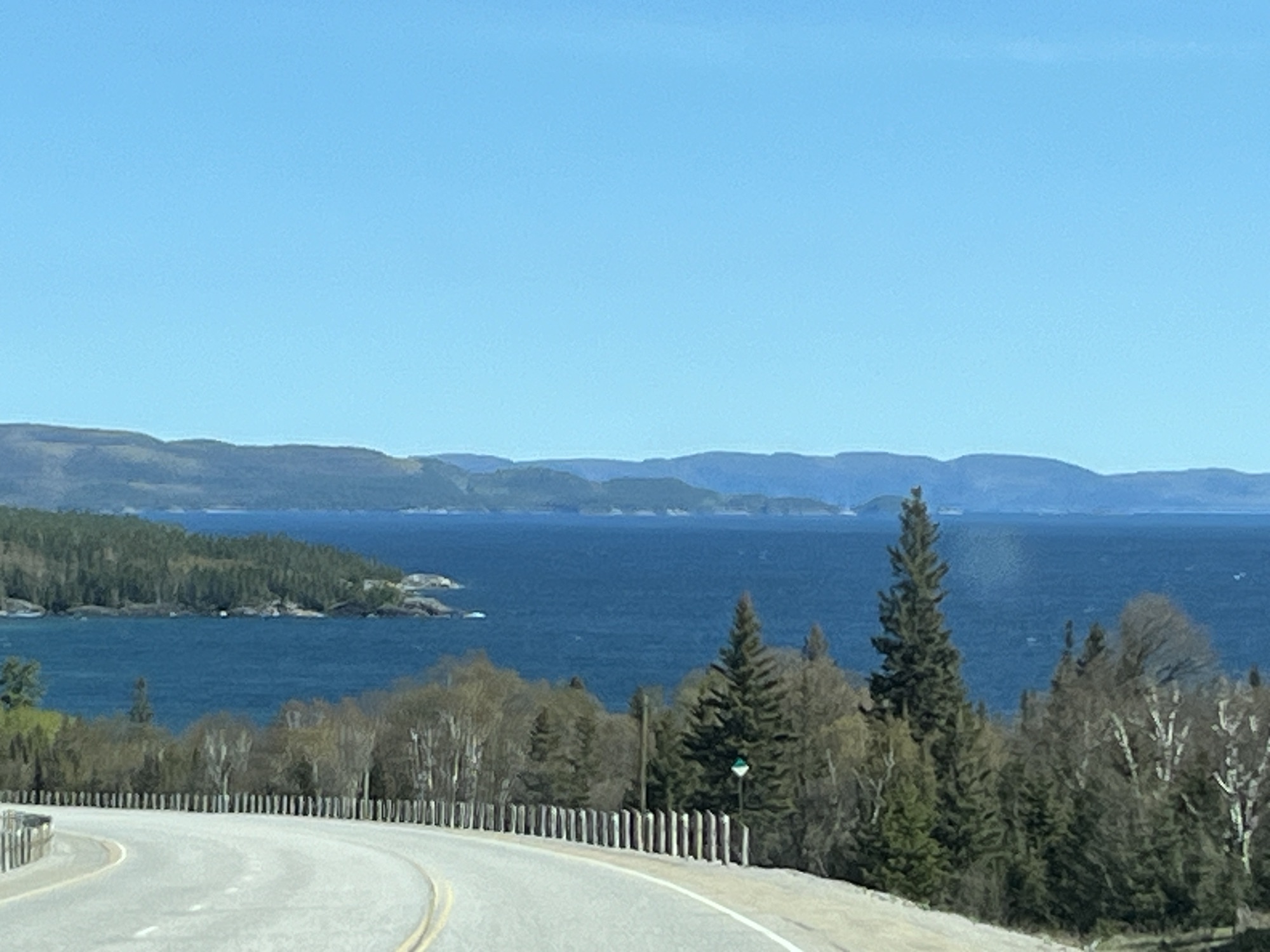
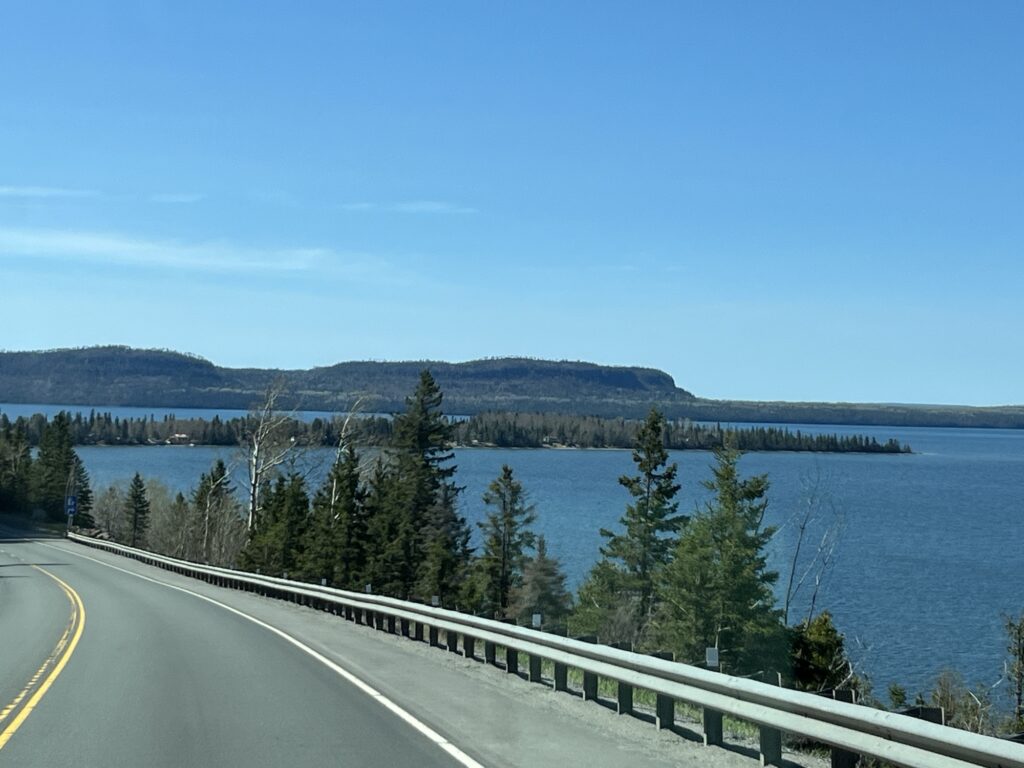
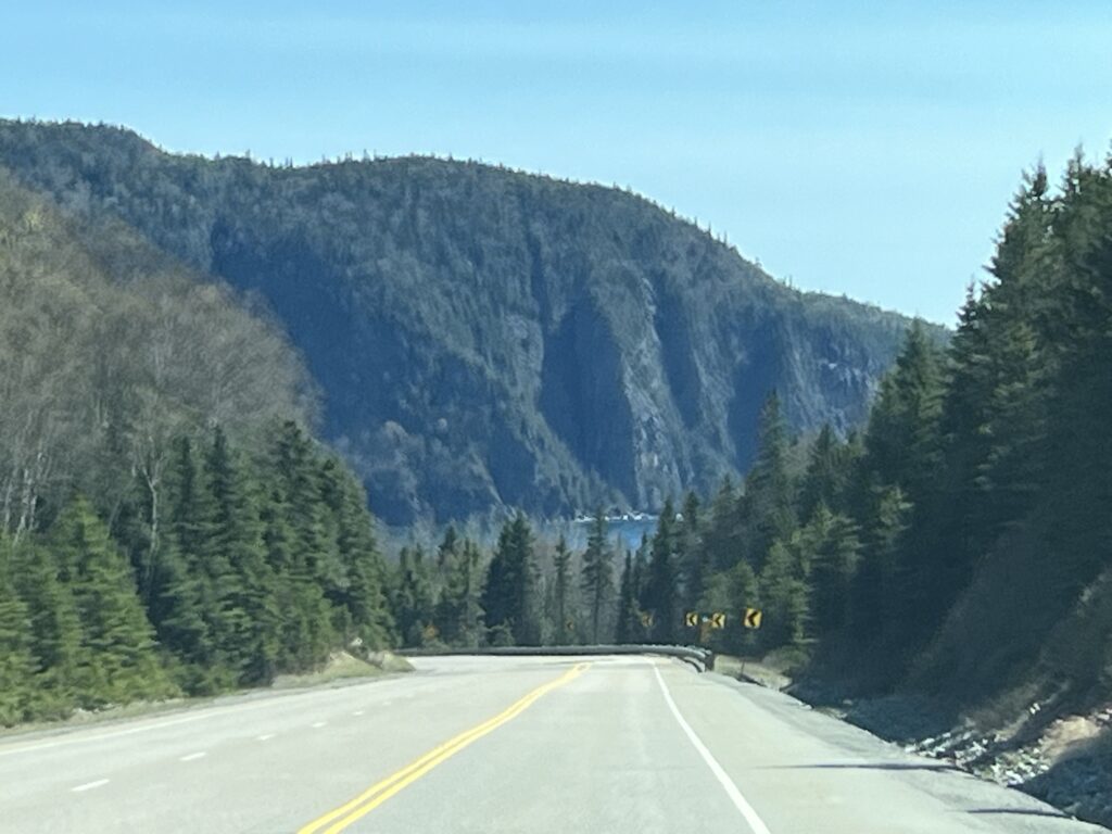
Some of the views out across the lake are stunning and you come upon them suddenly as the road twists and turns along the shoreline. We’ve included a few below.
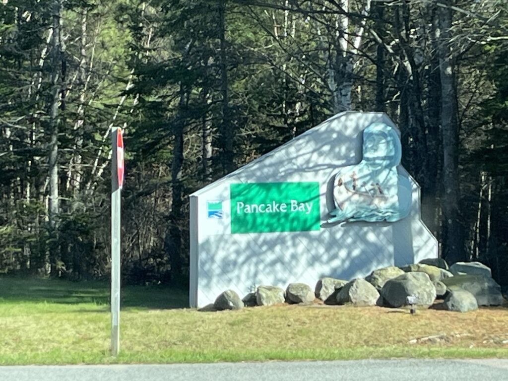
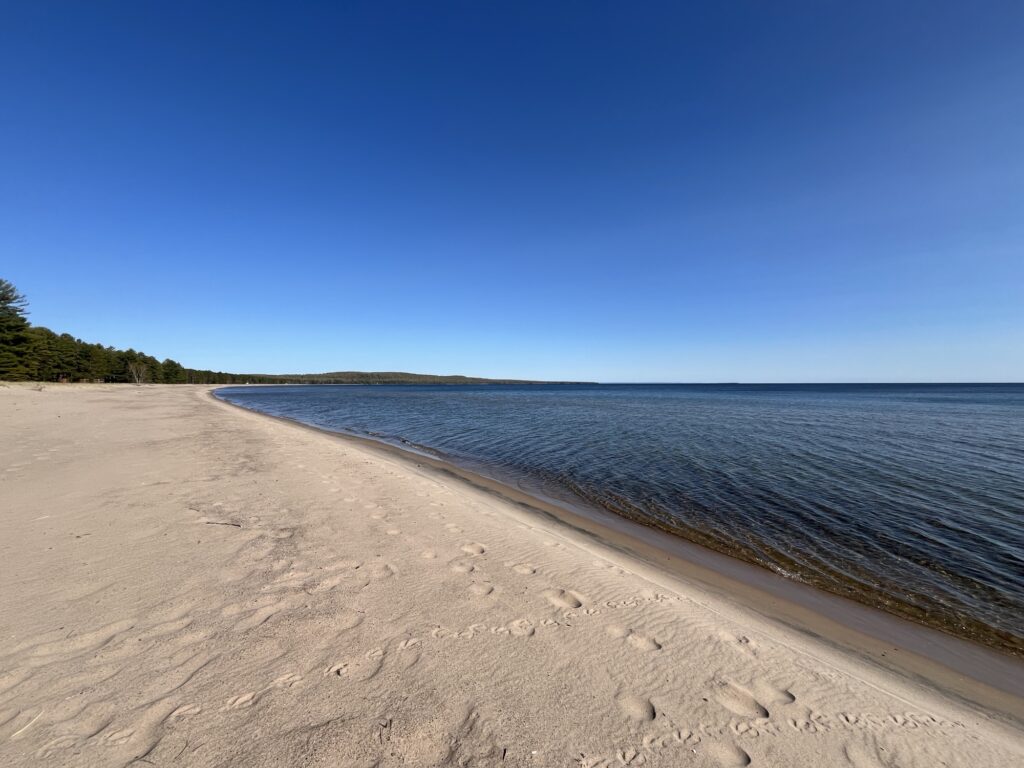
We end our day in Pancake Bay Provincial Park just a few kilometers North of Sault-Ste-Marie, ON. The beach here is gorgeous and Barb even wades into the (very cold) lake.
Pancake Bay Provincial Park, ON
We settle in for the evening and prepare for our last long road day tomorrow which will include a special treat.