Day 11: When is wood not wood?

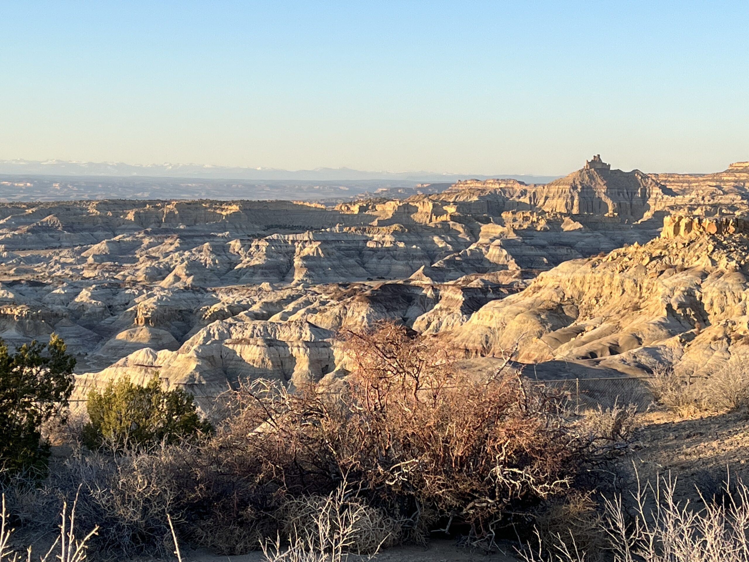
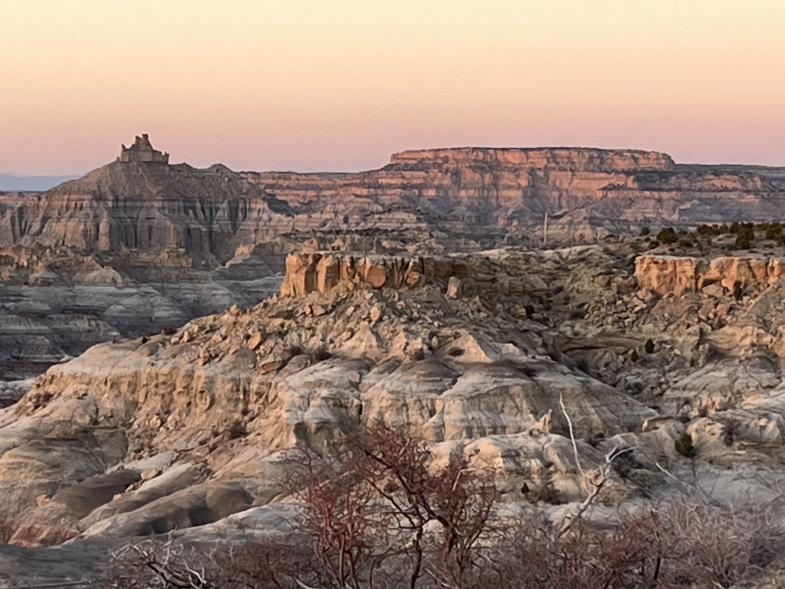
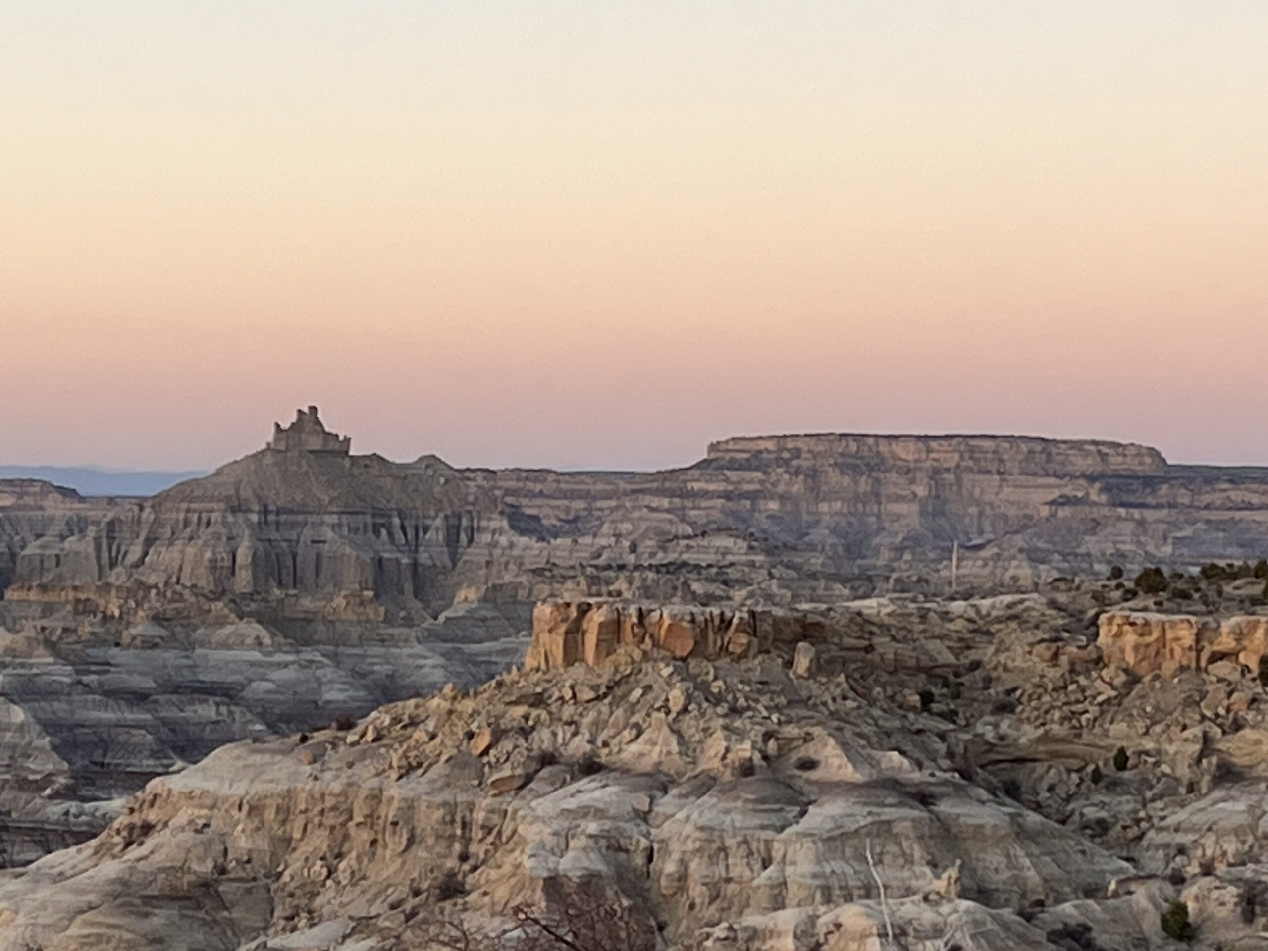
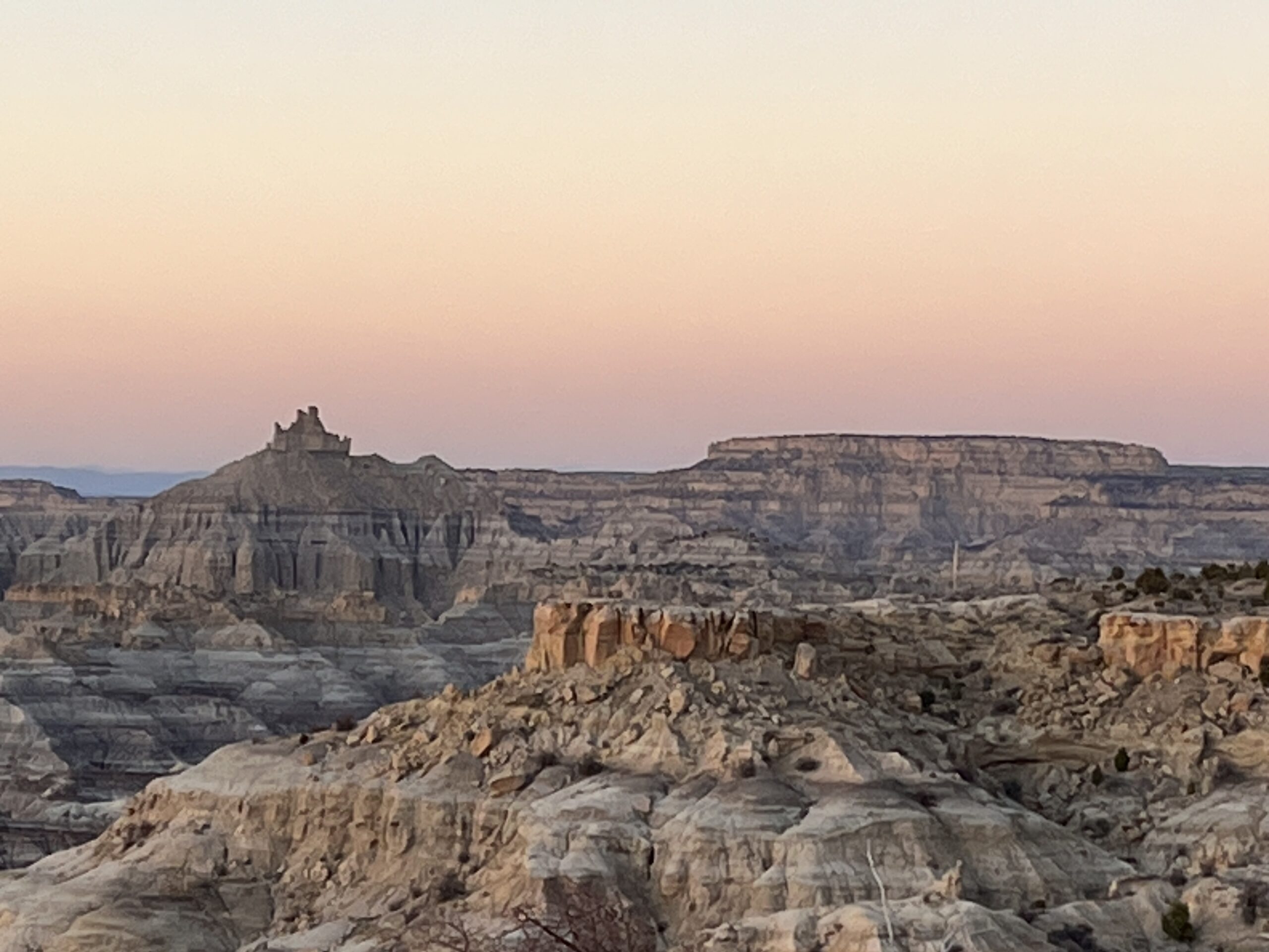
We awake to look out across a lava field left by a volcano some 10,000 years ago. It seems alien in what can already be considered by many an alien landscape.

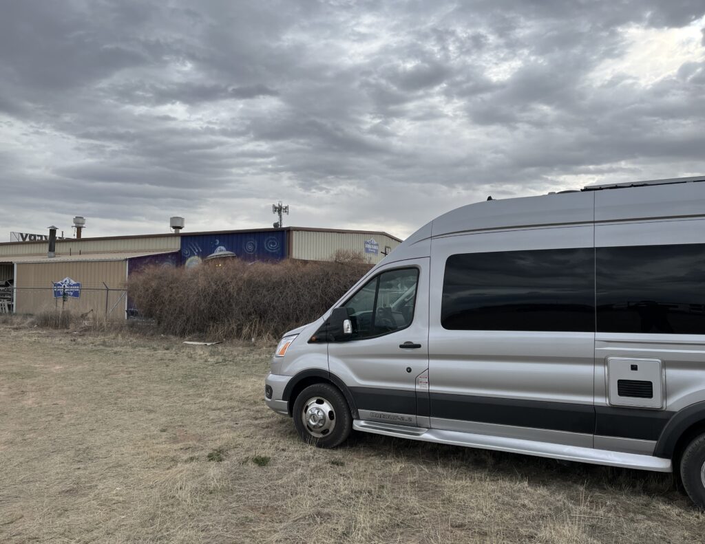
Oh, and we discovered that we have a mouse in the van as evidenced by buns having been nibbled as well as a banana. Traps were procured.

Argh, we have a mouse! Not happy campers.

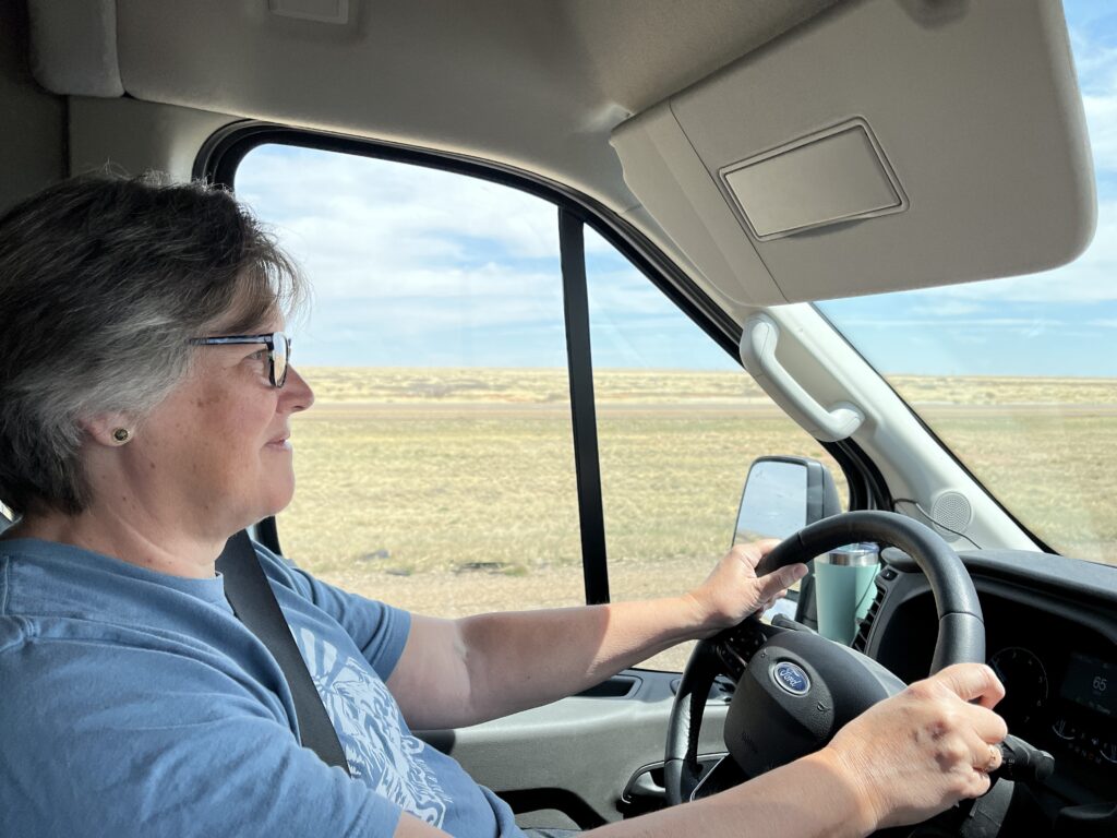
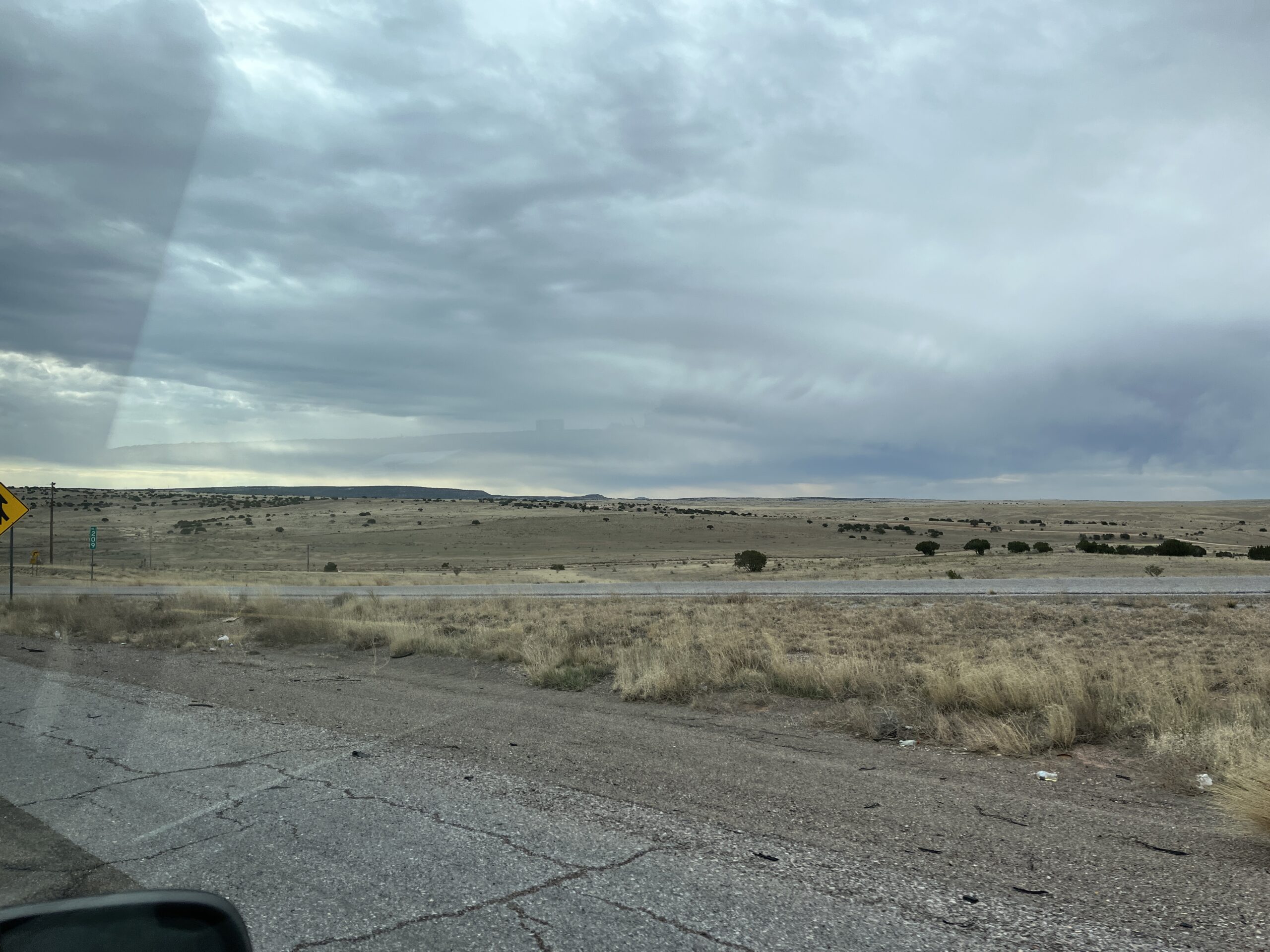
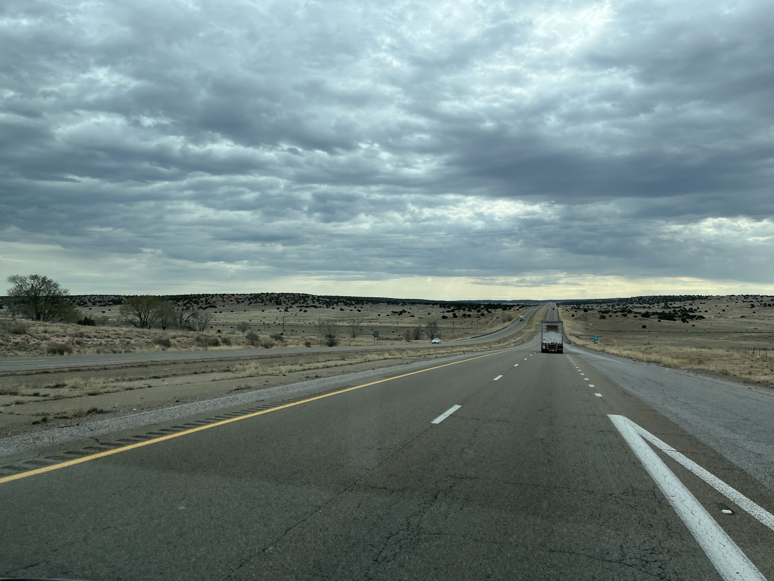
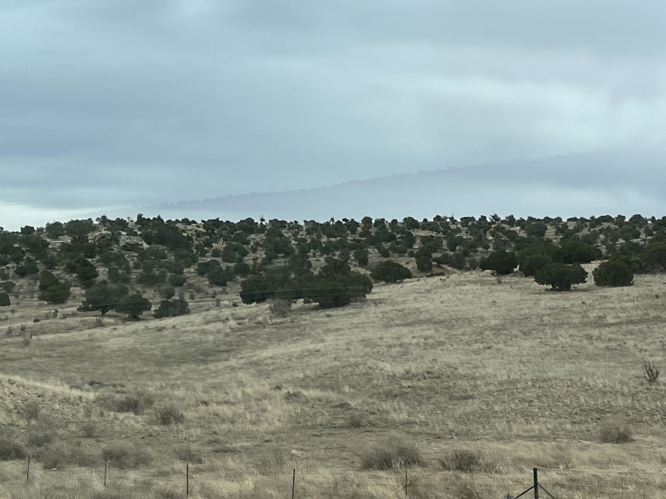
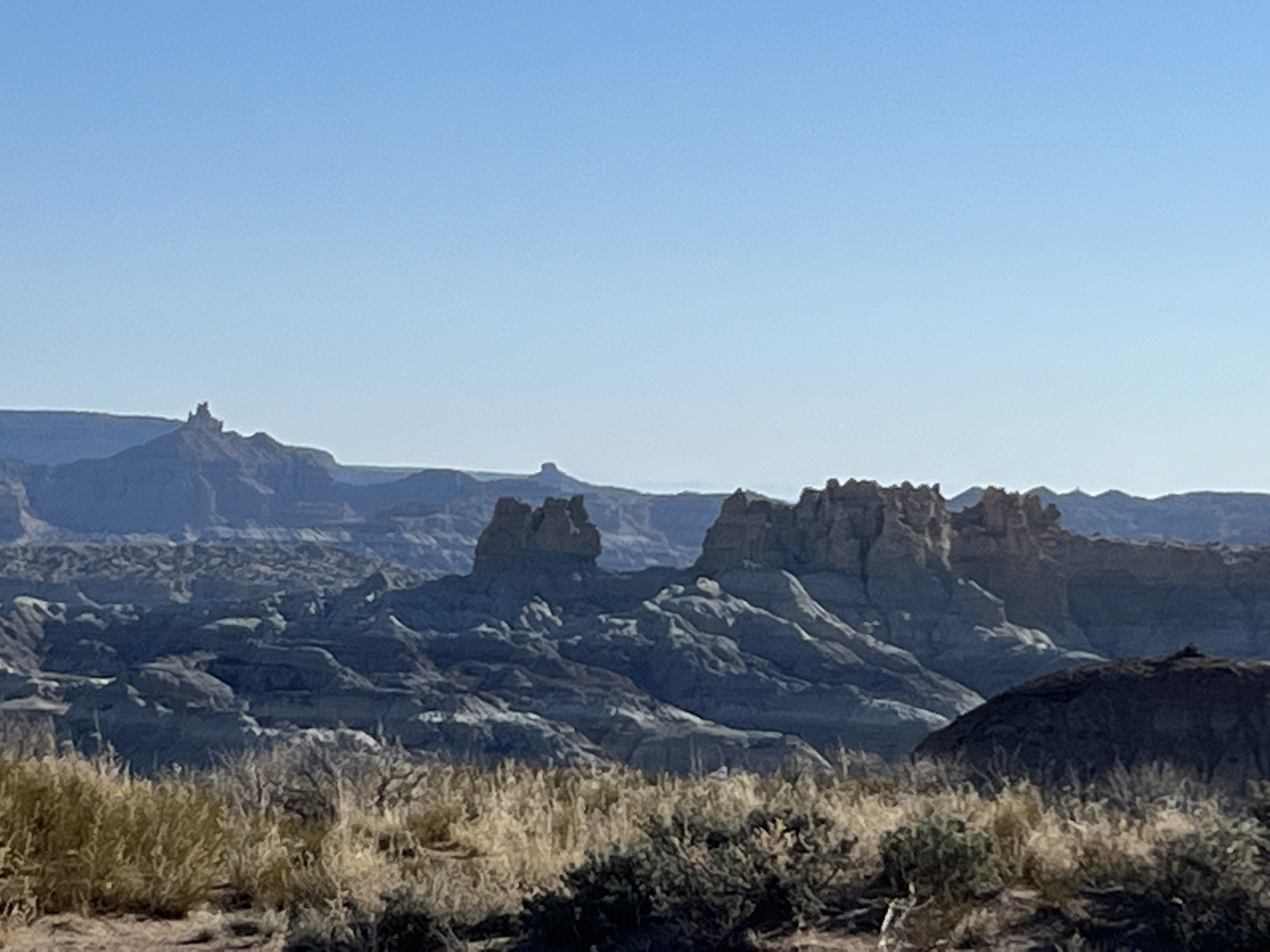
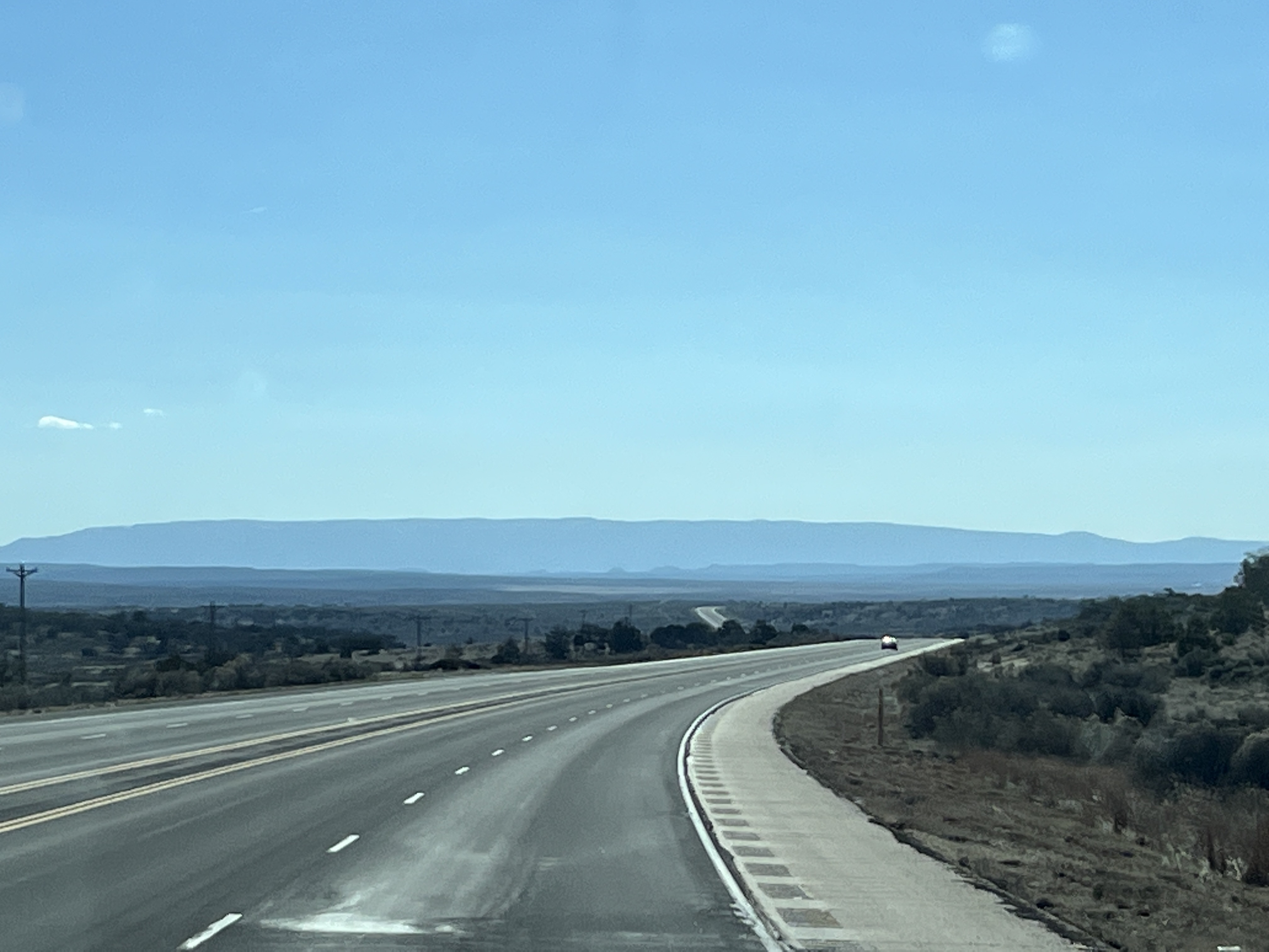
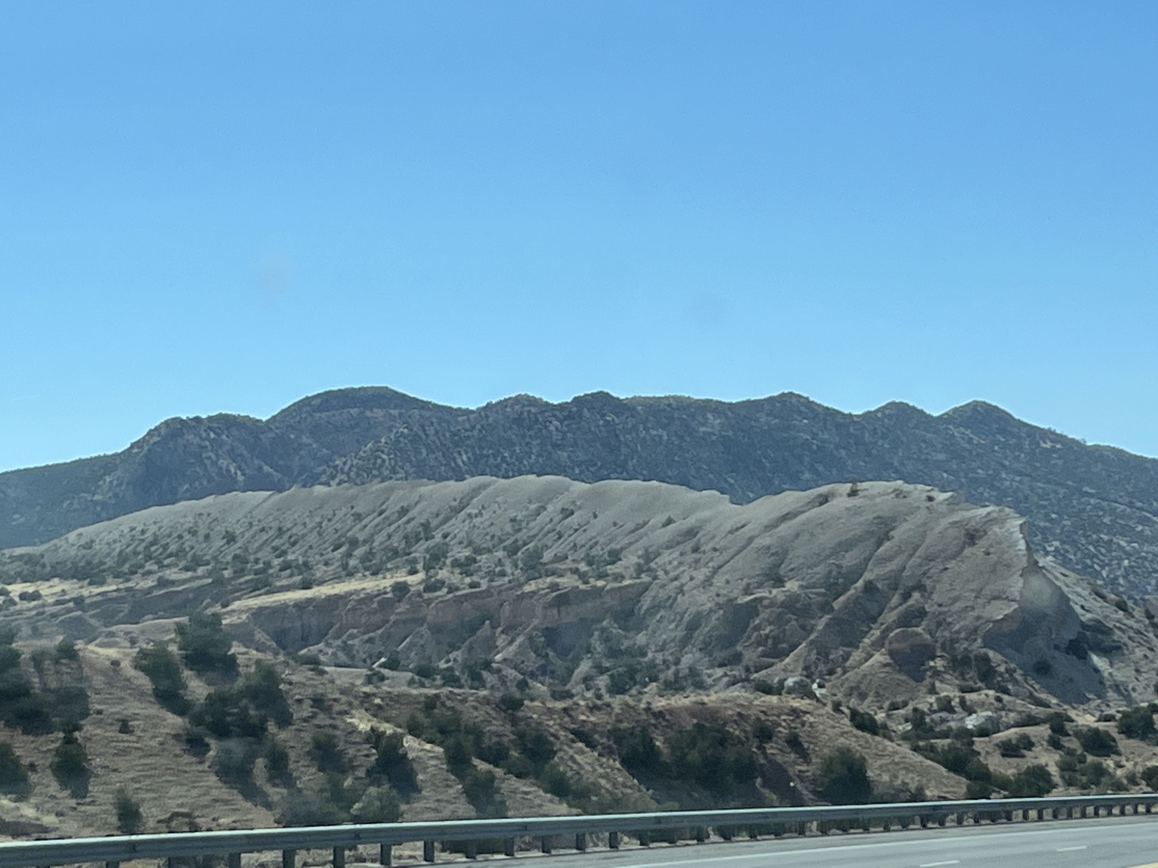
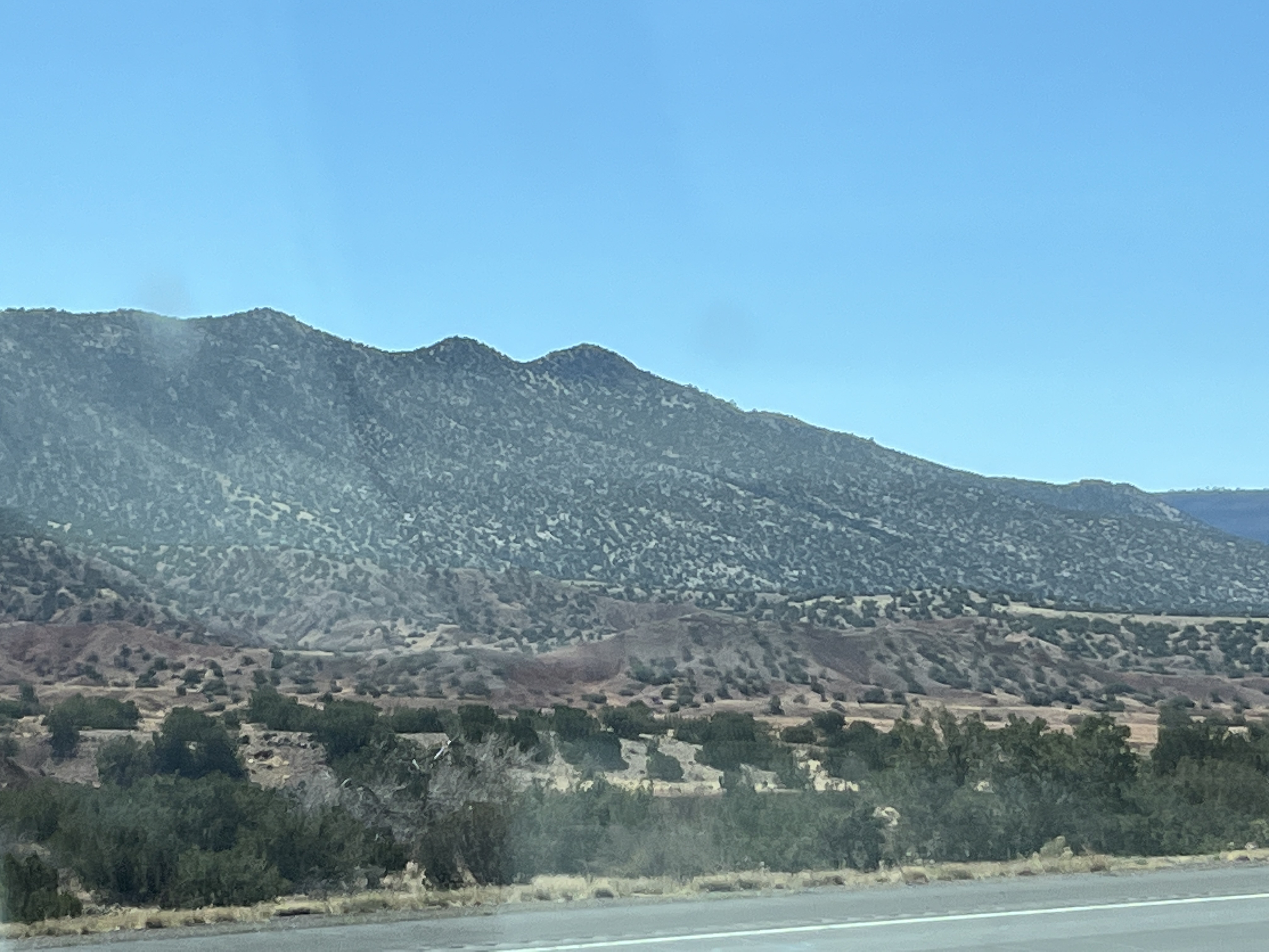
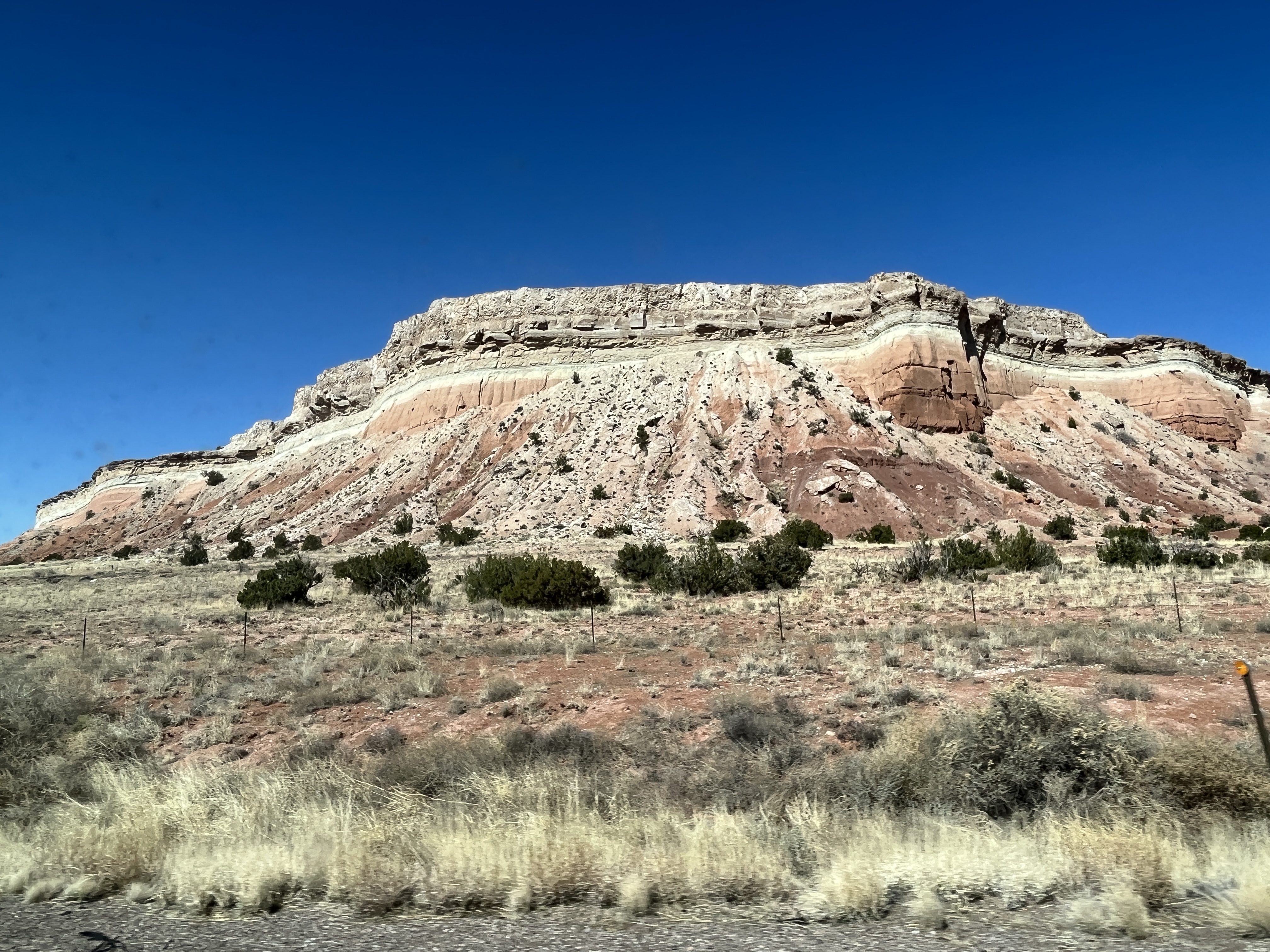
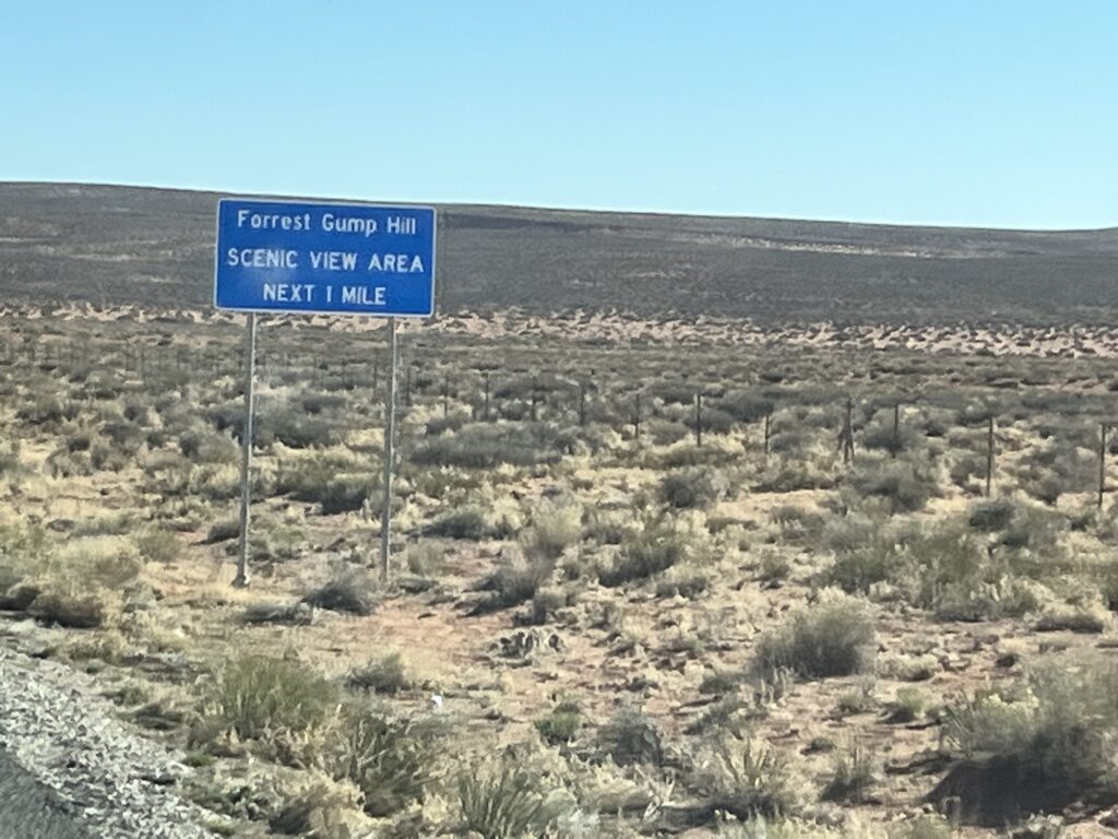
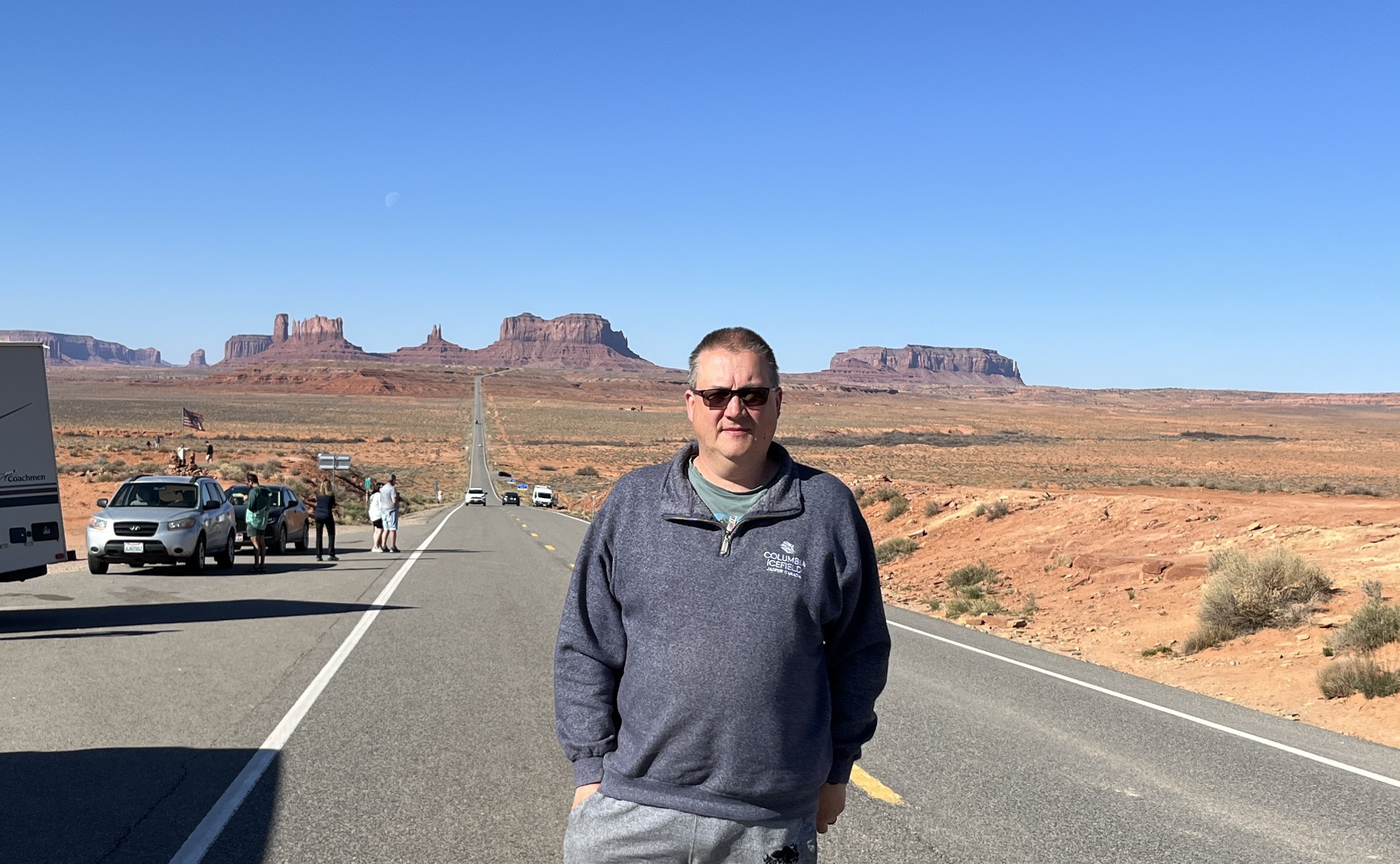
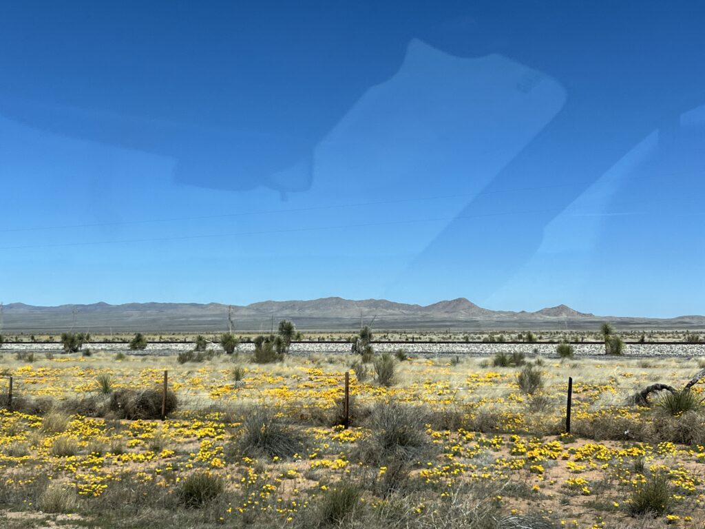
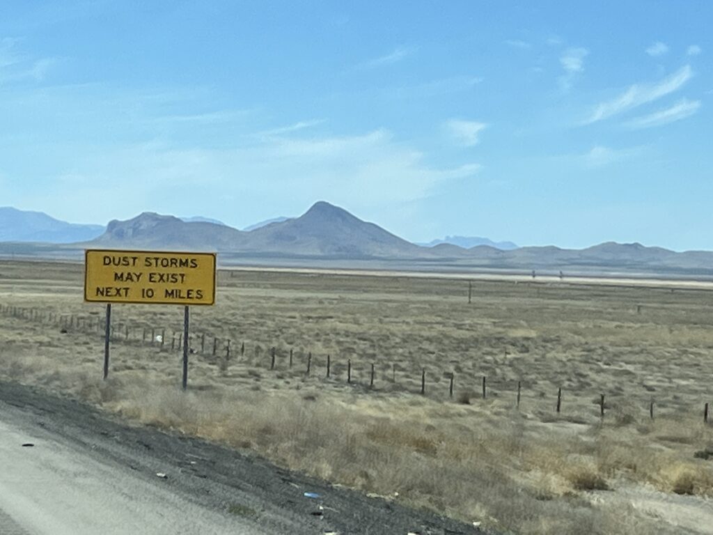
New Mexico is harsh. It gets hot, very hot in the Summer but we awoke to 1C this morning. The sky is almost always bright blue, clouds just don’t seem to form here and yet when it does rain torrential floods can wash away bridges and towns. It’s dry today, no floods to worry about. As we drive we wonder what life is like day-to-day in this environment, one that doesn’t seem to have seasons where trees leaf and then fall, where every road seems to lead to the horizon and the only evidence that anyone knows about it is the large plume of dust they leave as they traverse the landscape. Harsh.

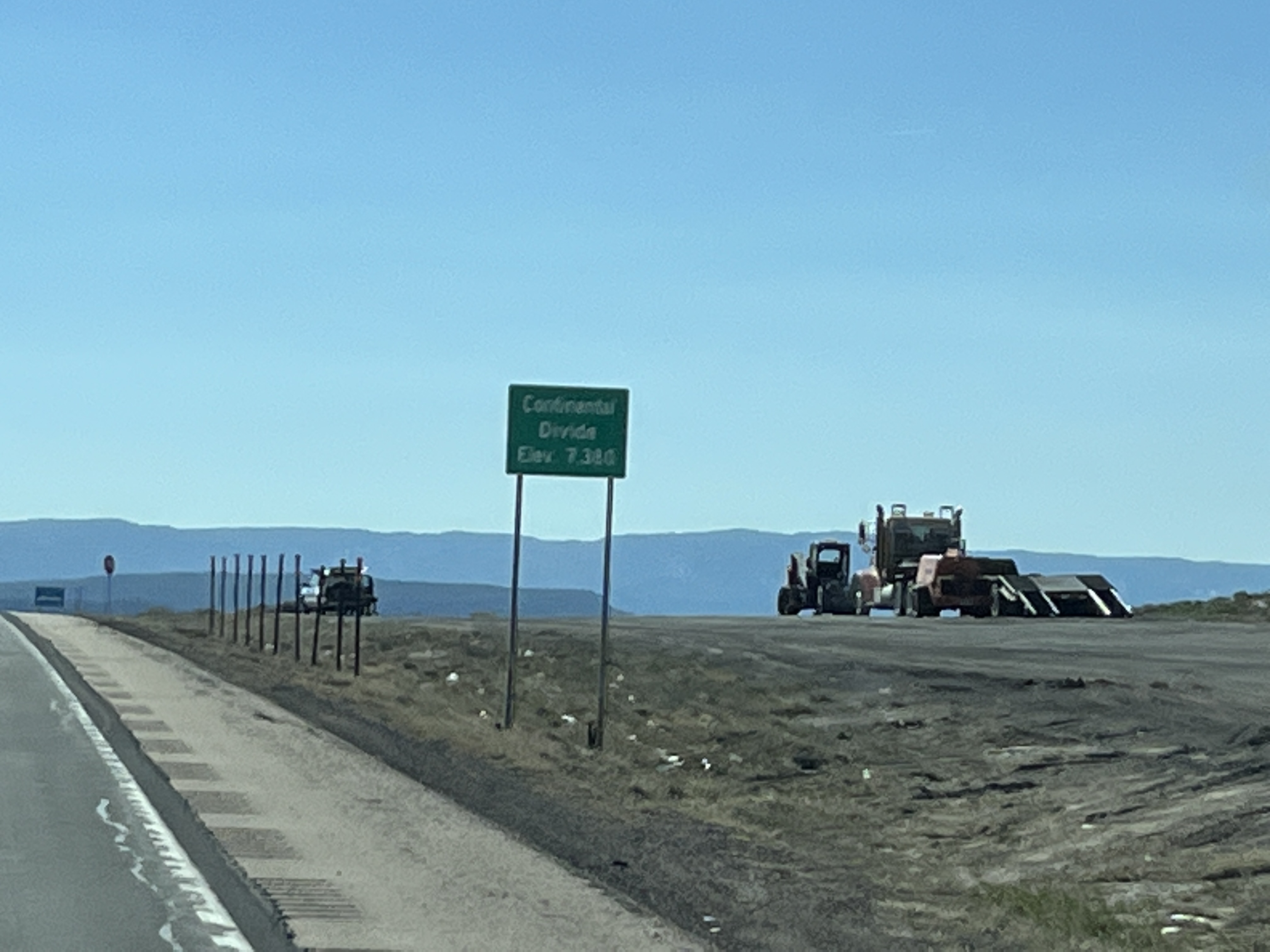
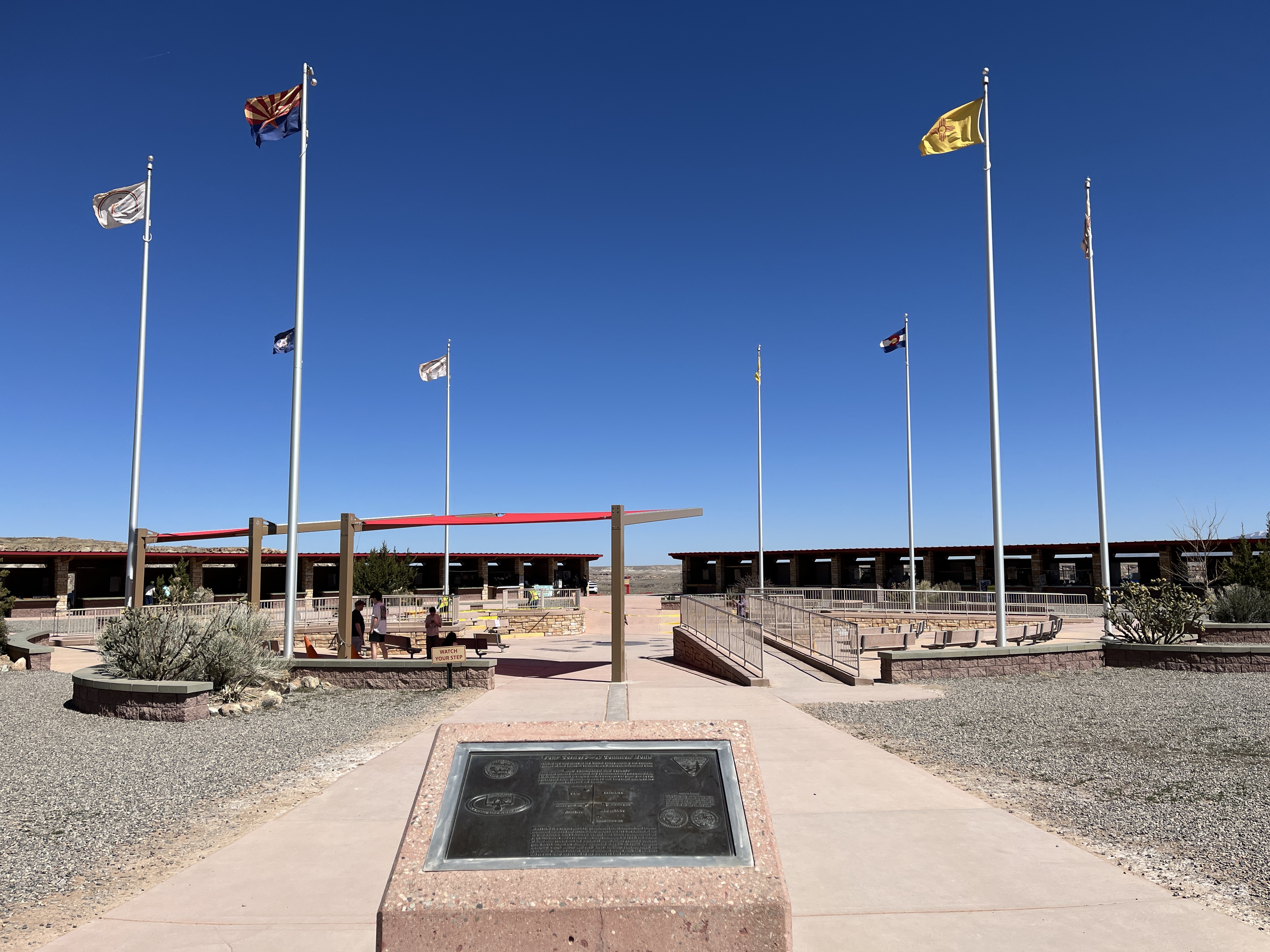
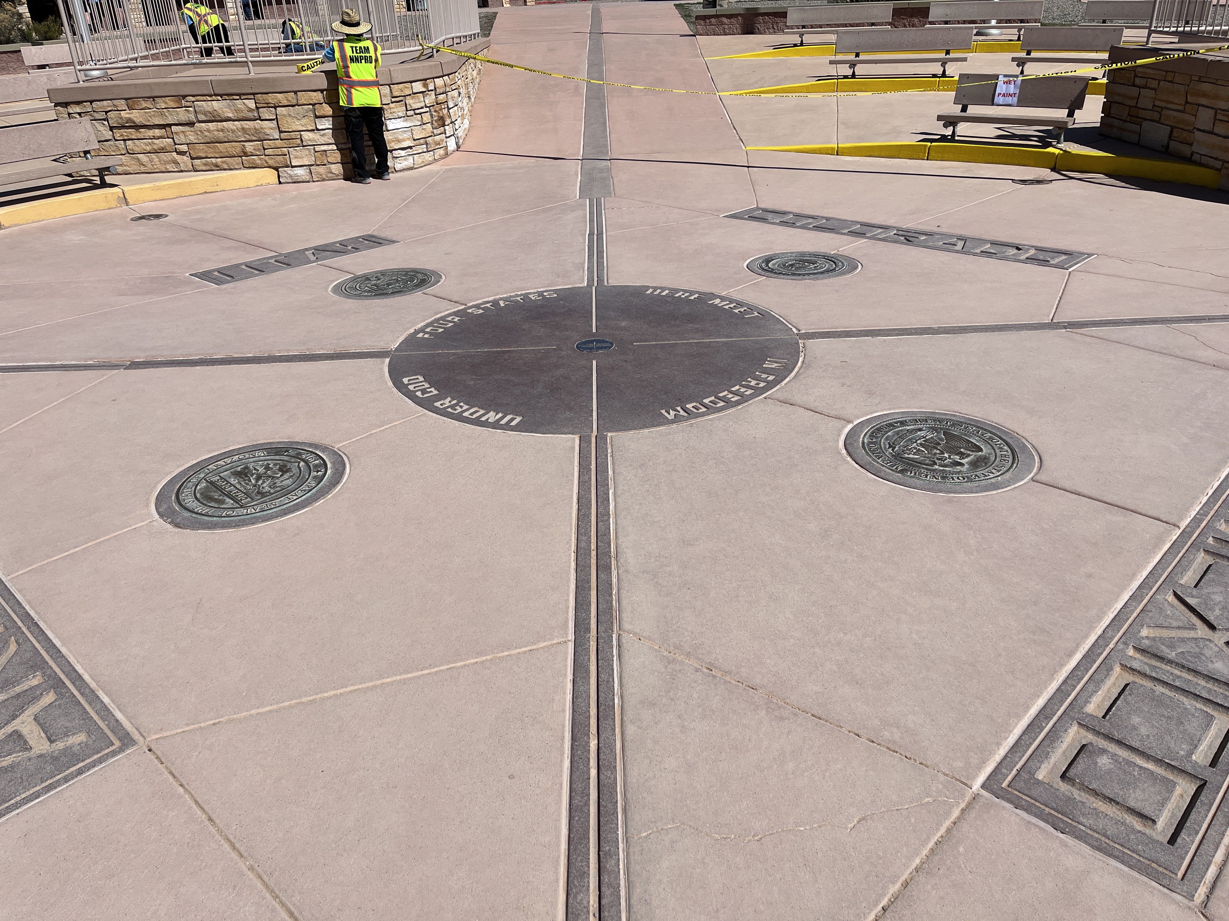
Our first stop today was the Continental Divide, the place in the Rockies where water either flows towards the Atlantic or the Pacific. There’s a small plaque that we stopped at to commemorate our passing from East to West.

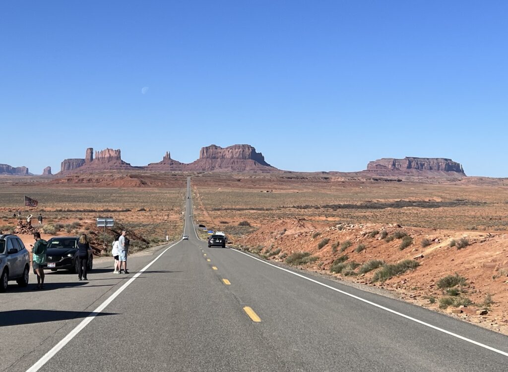
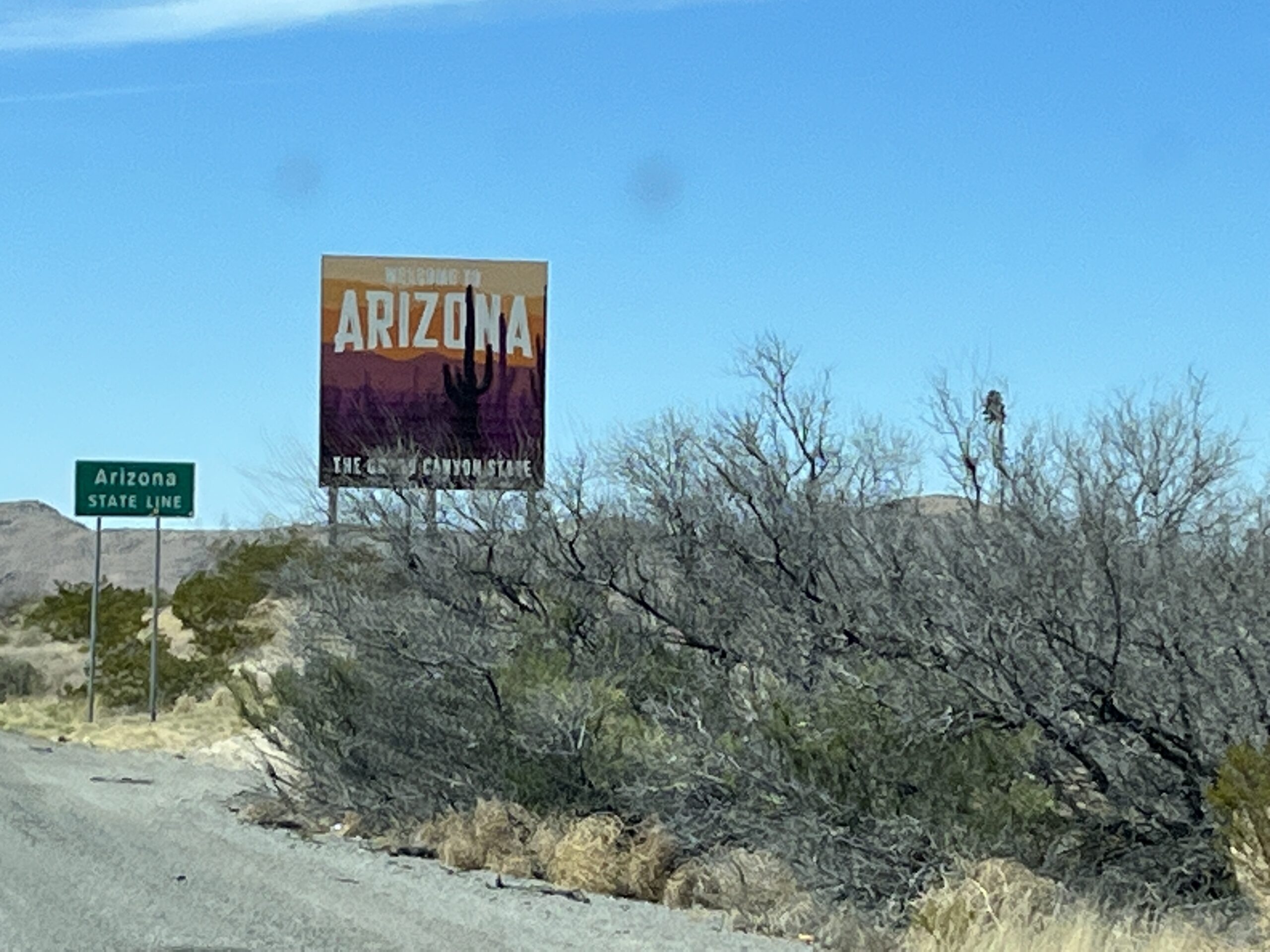
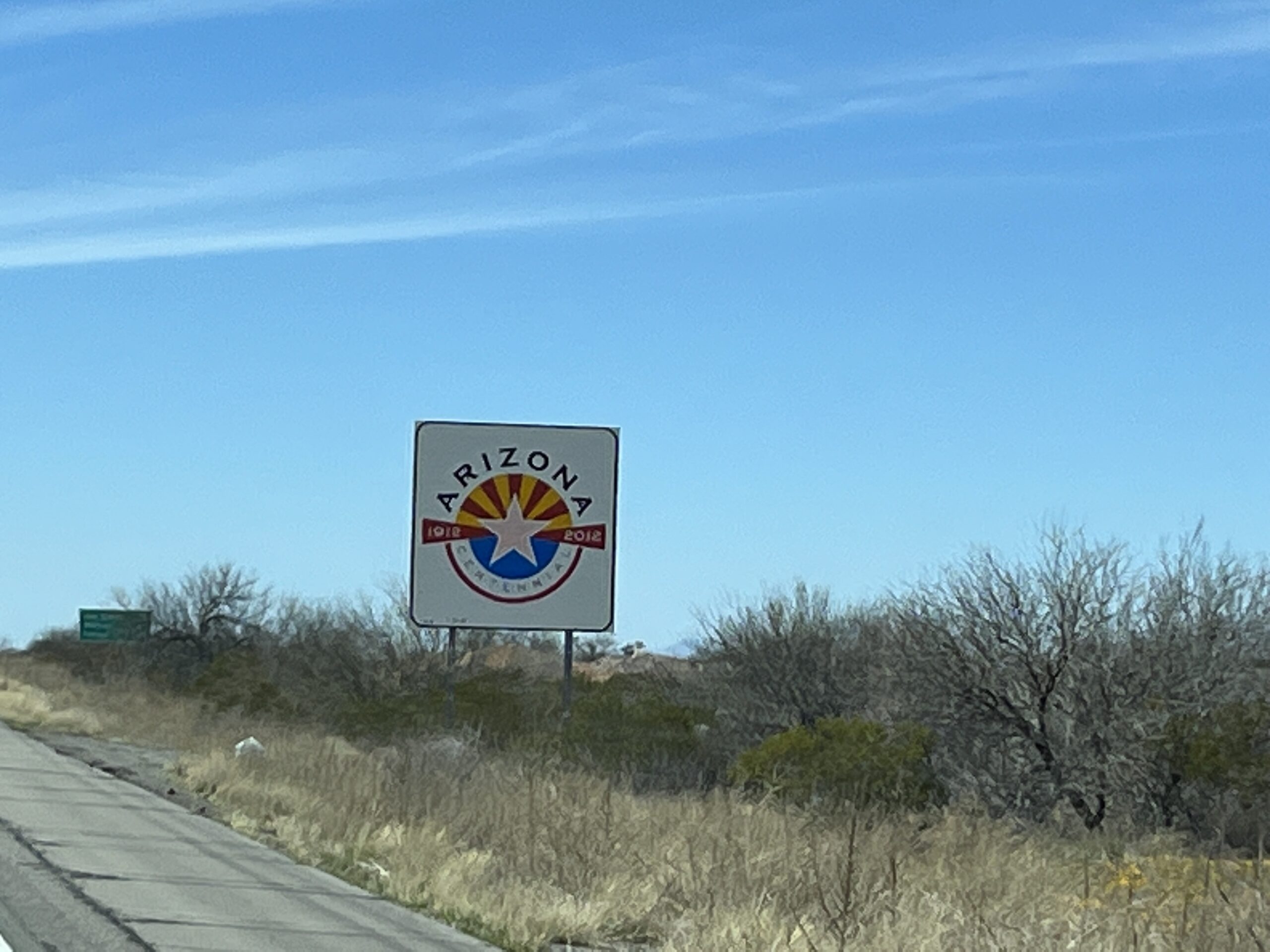
Soon we crossed into Arizona, another time zone change. This time from Mountain Daylight Time (MDT) to Mountain Standard Time (MST). Arizona does not observe Daylight Savings Time. So, we are now at the same time as those on the West coast but not yet in the same time zone.

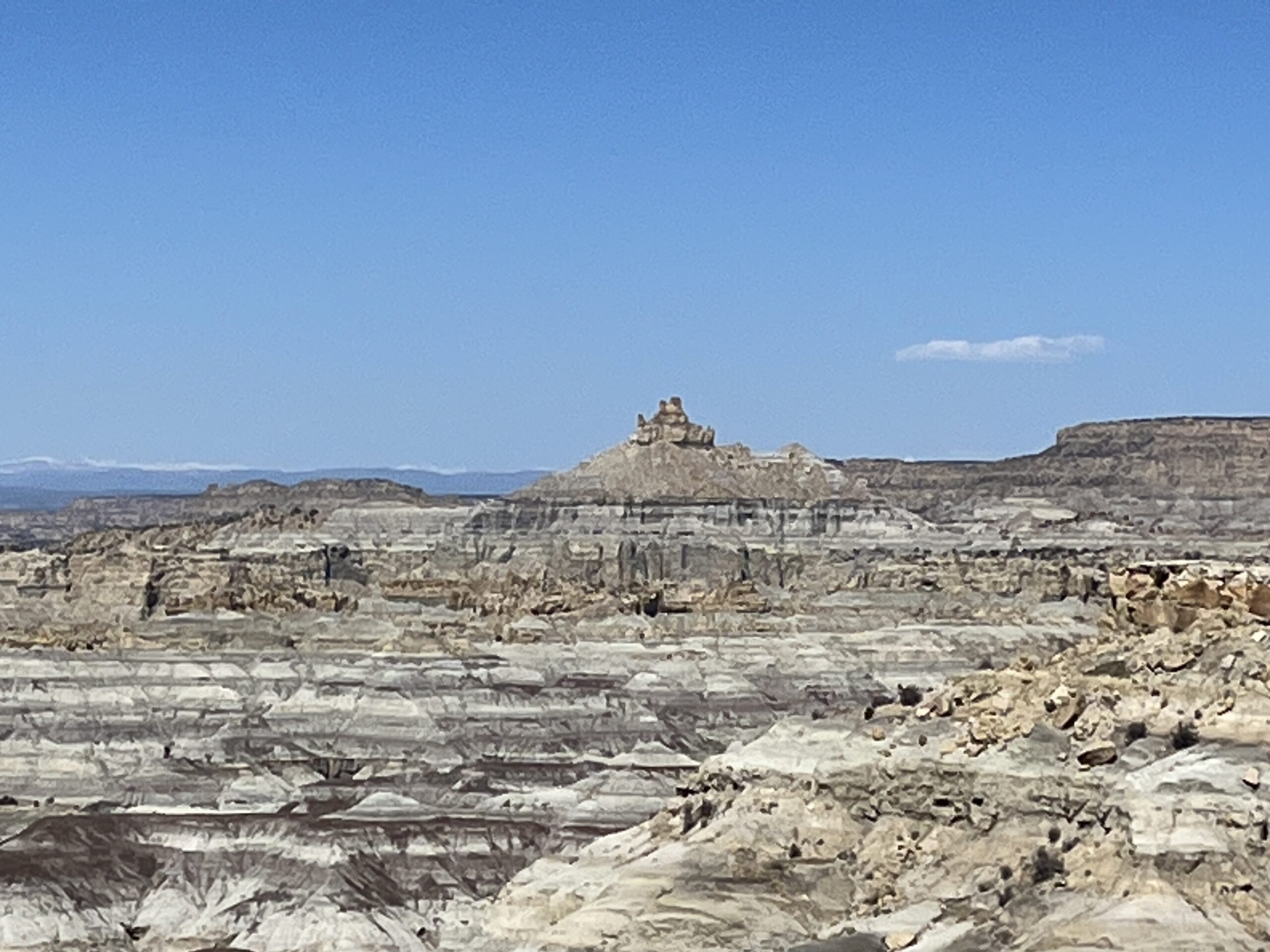
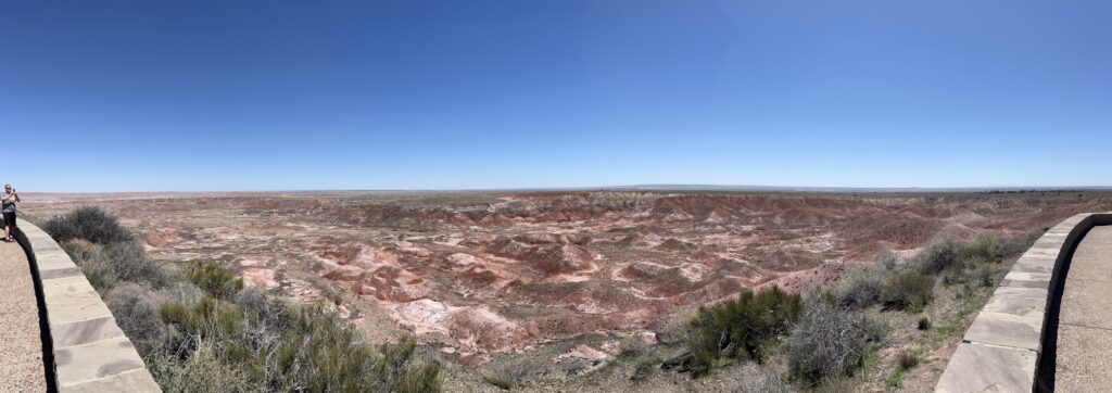
A little ways into Arizona we make a stop at the Petrified Forest National Park. We entered at the North gate and followed the 28 mile road through the park to the South Gate. In the North you get to explore the Painted Desert from overlooks that expose a wonderful array of colors in the hillsides.

As you travel South the landscape becomes more barren and moon-like before depositing you into the petrified forest. As you look about you see what appears to be rocks strewn about the landscape, but when you get close you realize that they are all petrified wood from trees that died 10’s of millions of years ago. We stopped in a few places and walked amongst these ‘logs’ and were amazed by the variety of colors of crystals that had replaced the original organic wood fibers. Some look like a lumberjack had recently felled the trees and cut the logs into short lengths but then left the logs instead of taking them away. To look at, it’s wood. To touch, it is rock.

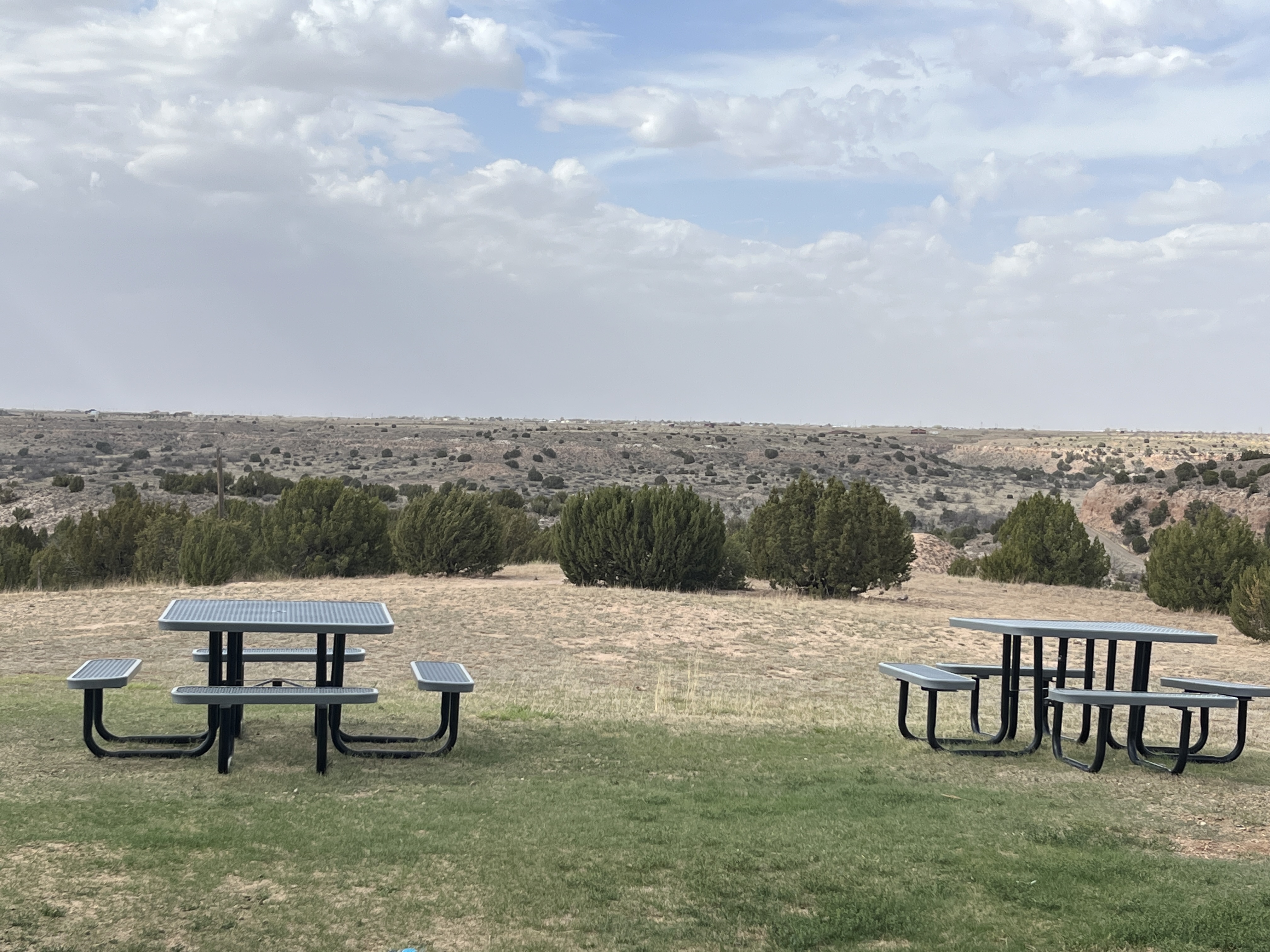
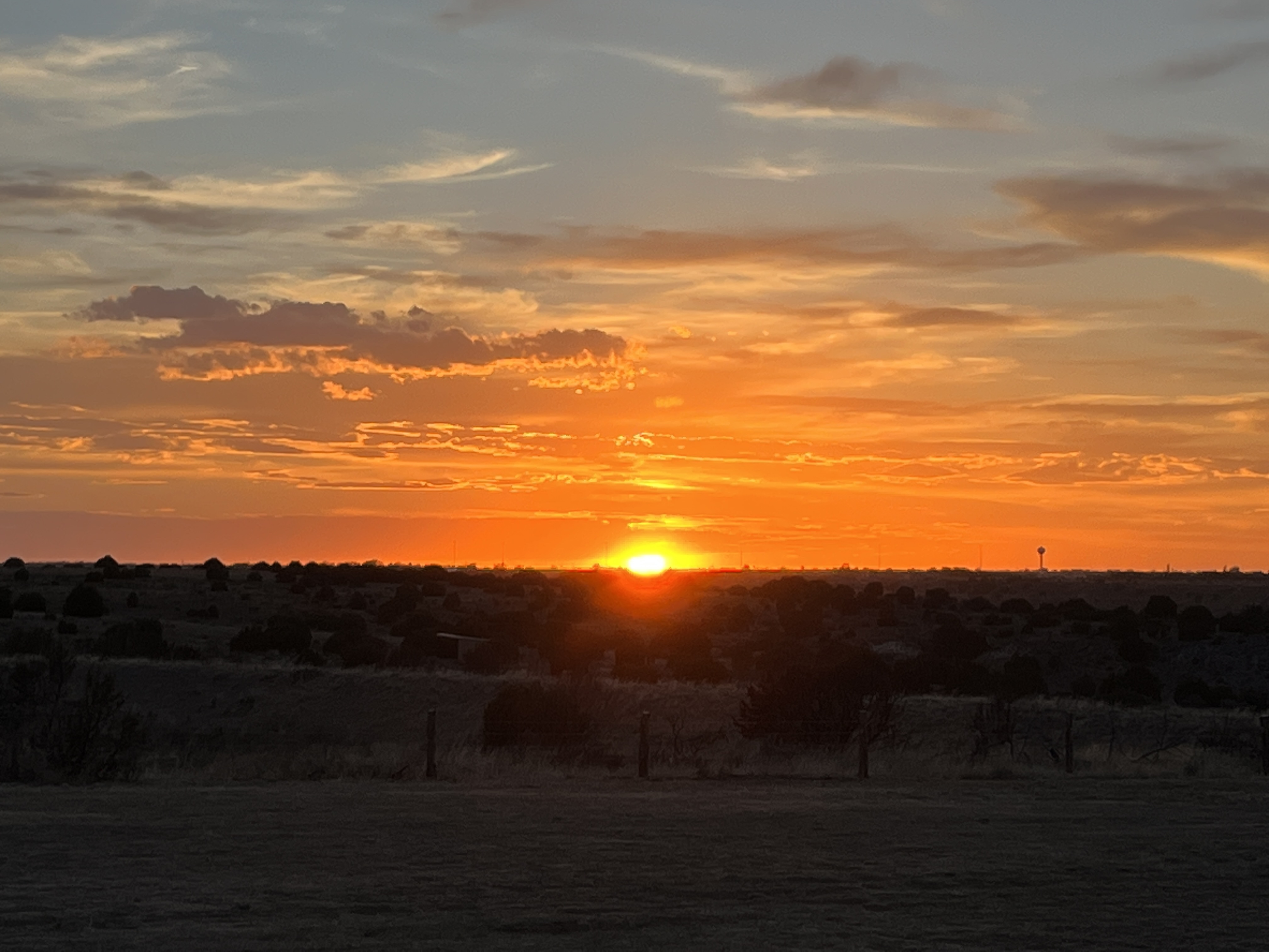
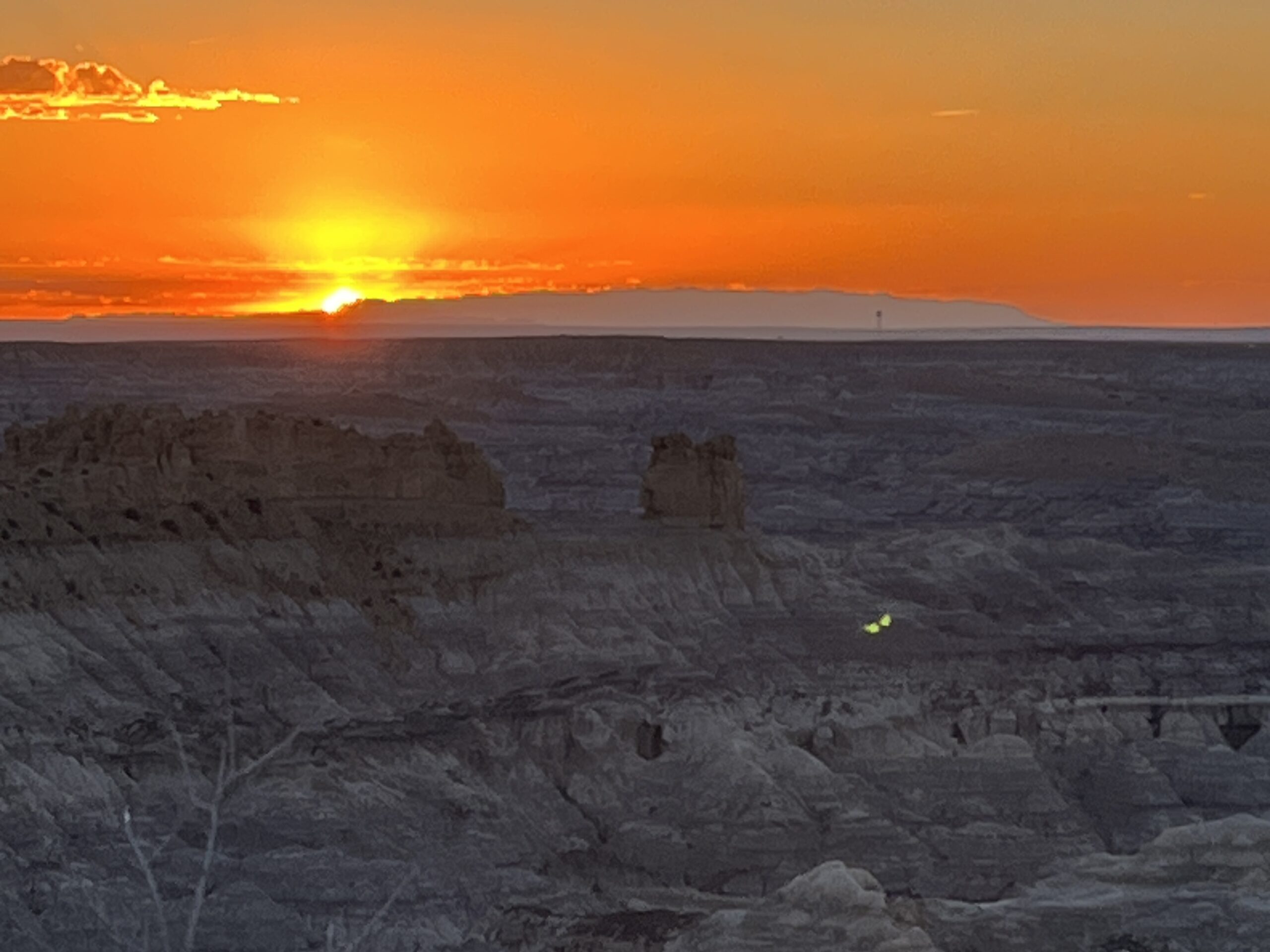
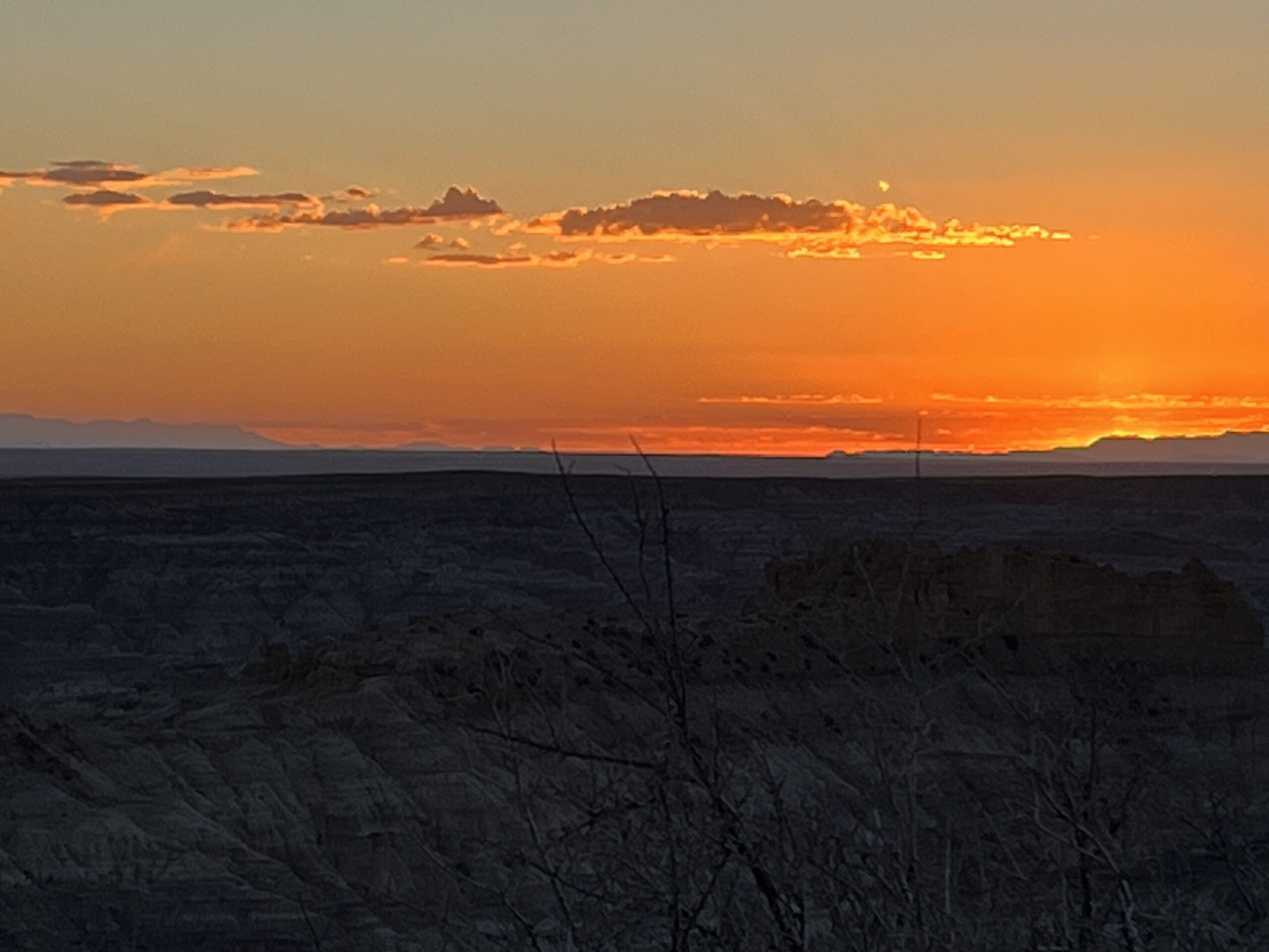
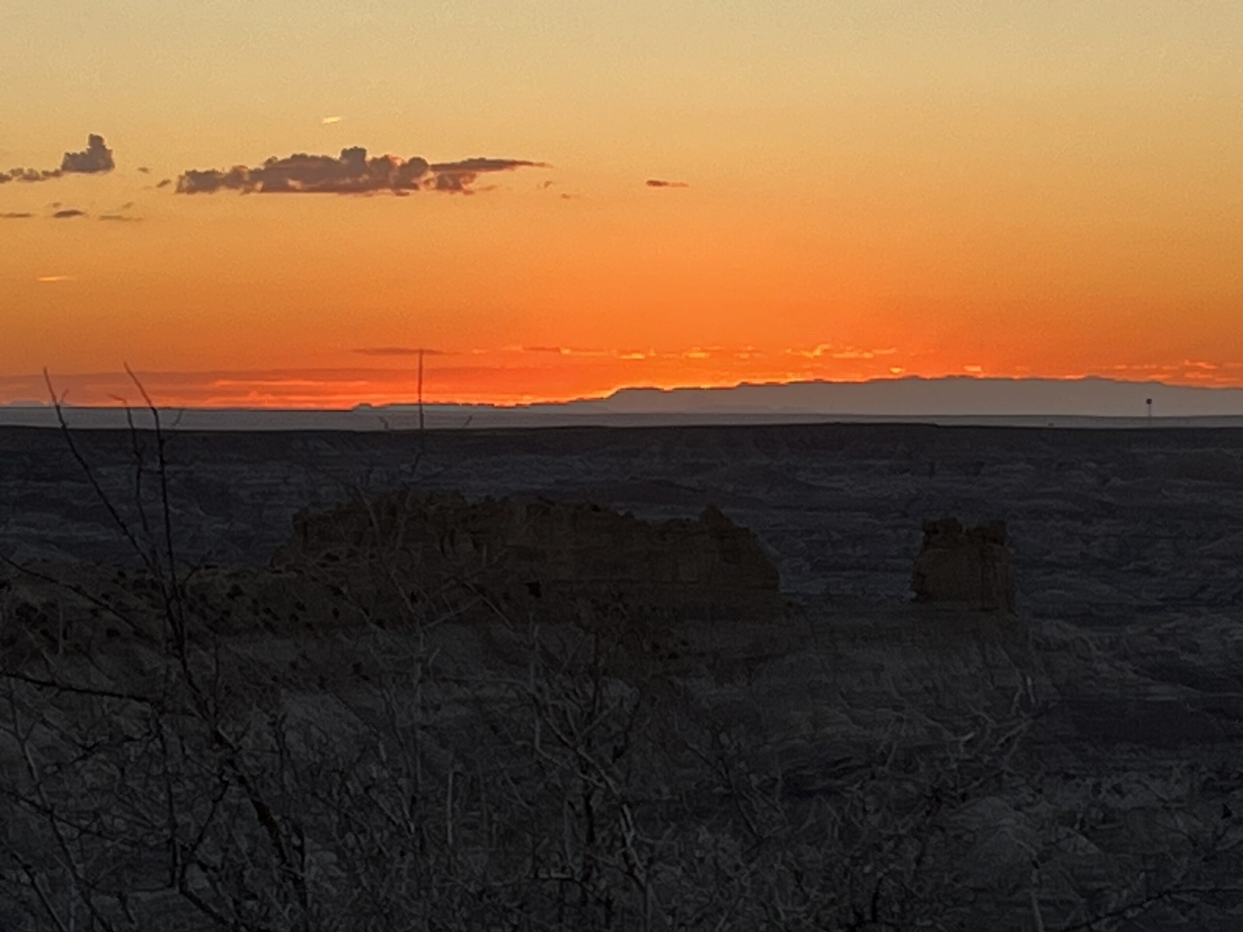
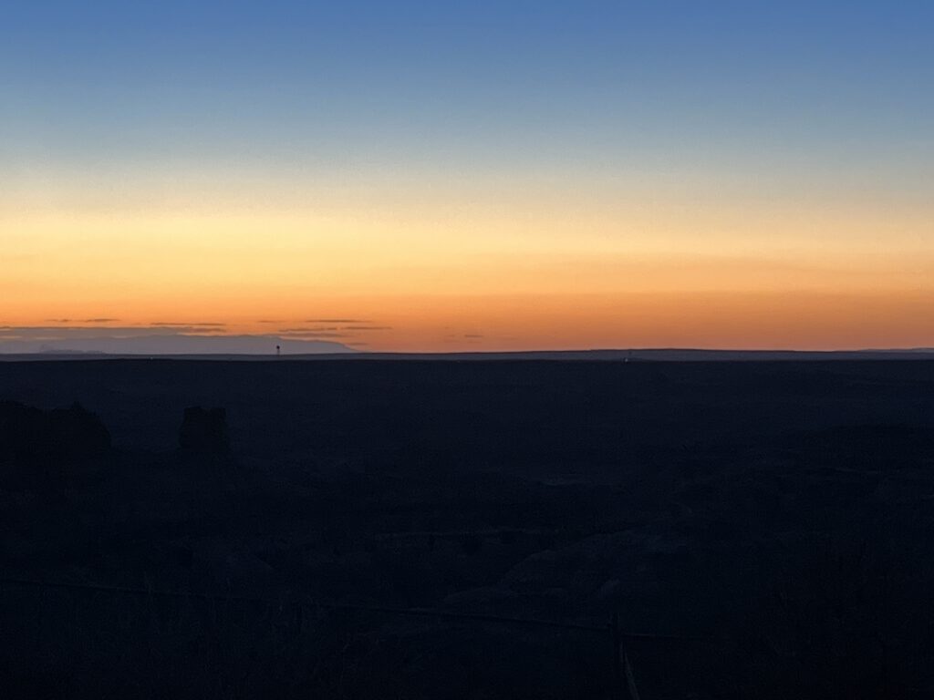
After leaving the park we continue westward and stop for the night at Homolovi State Park near Winslow, AZ. A quiet spot in the desert to spend the end of the day amongst the sagebrush & tumbleweeds.

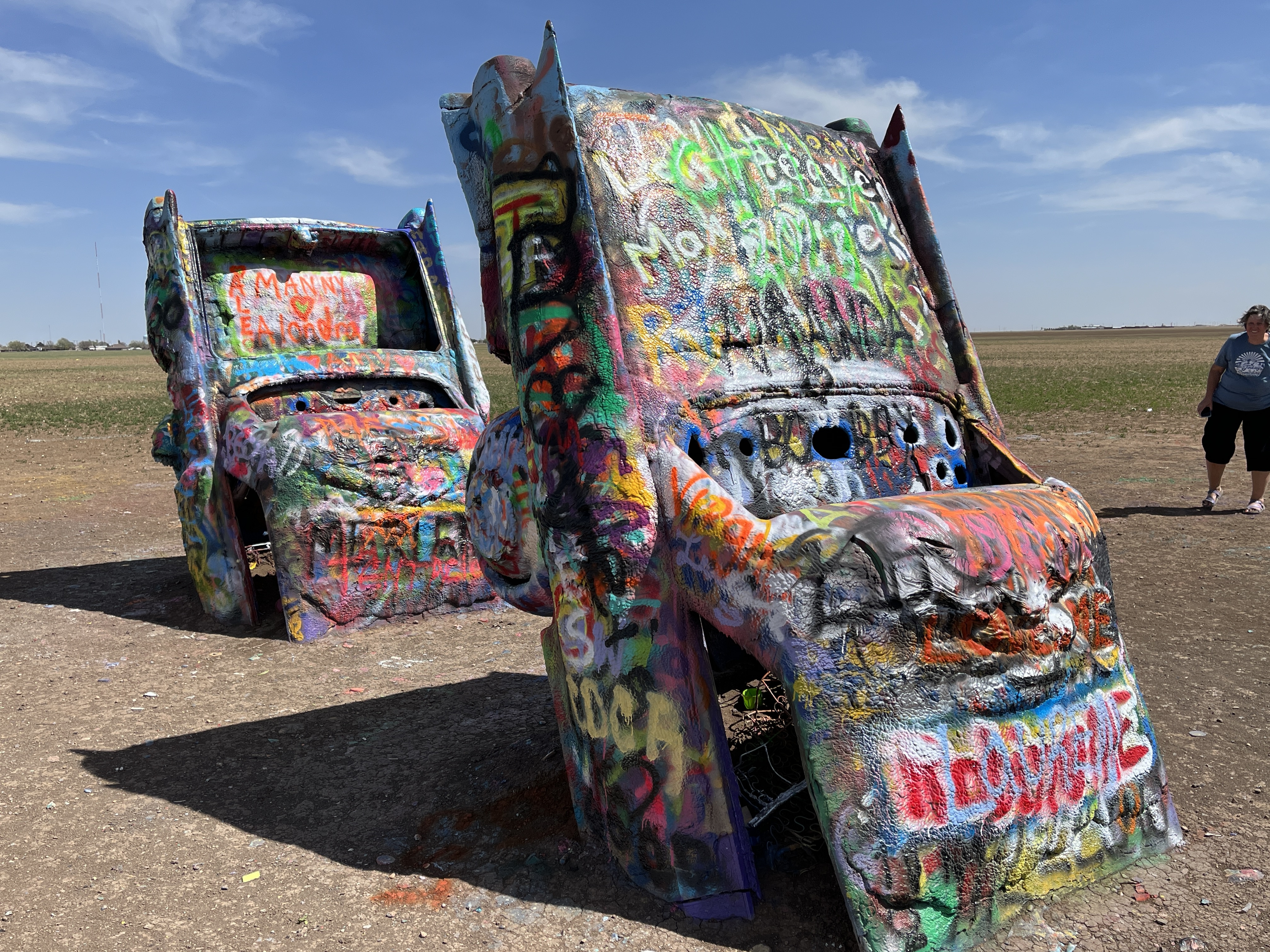
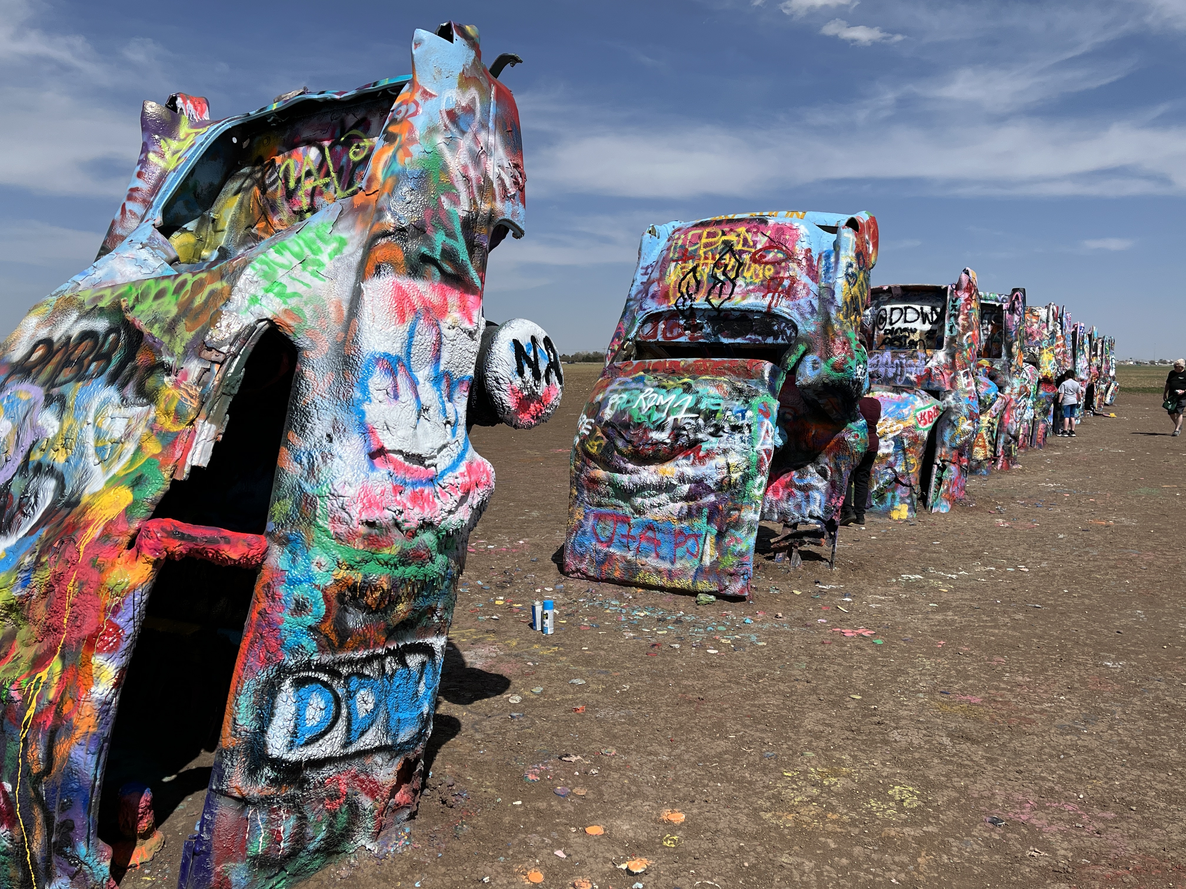
Tomorrow a certain flatbed Ford will be sought out and then onto western Arizona and into Nevada.

Day 37: We get our kicks on Route 66

Up and at ‘em. The sun’s up and so are we, ready for a day of driving eastward out of New Mexico and into Texas.

Today Barb has decided to drive our campervan leaving me to be passenger and photographer. The other rigs that stayed at the brewery we us left at about 8:30am and we headed out by 9:00am as is our habit.

We start by joining I-40E and heading toward Santa Rosa. The highway seems extra busy with truck traffic as the scenery slowly changes from that of the high desert towards the central plains.

We take a small detour into the town of Tucumcari, NM. This detours takes us onto historic US-66. Although the town is surviving it is clear that it has seen more affluent times when Route 66 was the primary east-west route that ran directly through town.

After a couple of hours we leave New Mexico and enter Texas. The sky seems larger as the land flattens to become the grasslands of the plains. Again, we leave the interstate and head into Adrian, TX. We stop at the Midway Cafe that sits at the mathematical midpoint of the historic US-66. Halfway between Los Angeles and Chicago. We take a few photos outside at a sign that marks this point and then we head into the cafe for lunch.

Adrian, TX

The Midpoint Cafe has operated in this location for decades under various names and owners. It is decorated as a 1950’s diner and the menu reflects this era containing hamburgers, fried bologna sandwiches, hot dogs, milkshakes and homemade pies for desert.

We settle on each having a cheeseburger and Coke Zero. The owner is working in the kitchen and is delayed on a complicated order ahead of ours and so instructs the waitress to offer us a complimentary piece of pie! Barb chooses Chocolate & Peanut Butter which tastes amazing. When the burgers are delivered we they are large and look delicious, we are not disappointed, in fact we both agree that the burgers are the best that we have tasted in a very long time.

Returning to the interstate we notice that the West Texas winds have returned and Barb is working hard to keep the van in our lane. Nearing Amarillo we pull off to top off the gas tank before driving a short distance to what has to be the weirdest stop along Route 66, the Cadillac ranch. Ten 1950s-era Cadillacs have been partially buried hood-first in a field and visitors are encouraged to use spray paint to decorate the cars. We do not bring paint, only our cameras to capture the absurd art installation.

Cadillac Ranch

Our last driving segment takes us around the western edge of Amarillo towards Canyon, TX where we drive to the Bar-Z winery where we are staying the night. We enjoy a flight of wine and purchase a bottle of Sauvignon Blanc to enjoy on another day. The evening is enjoyed relaxing in the van.

Bar-Z winery, Canyon, TX

Day 36: Onward to Moriarty, NM

So, no wind at bedtime (or in the forecast). Strong winds overnight, van shaking winds. No wind at daybreak. The winds were so strong that our tenting neighbors bailed in the middle of the night as they were gone before 6:00am when I awoke.

The view is still as stunning as the evening before and we continued to enjoy it while enjoying breakfast.

We departed our parkup by 9:00am and headed toward Albuquerque, NM. The drive took us across the continental divide at 7,380ft before descending into the city.

We stopped at a Chili’s for lunch before going to a Krispy Kreme to pick up a few donuts for later. Taking advantage of having stopped in a shopping district, we took some time to browse around a Barnes & Noble bookstore where Tony picked up another book to read.

Time for a treat

Leaving the city we drove East on I-40E towards our destination, Moriarty, NM. Tonight we have booked a Harvest Hosts stay at the Sierra Blanca Brewery and upon arrival we checked in and then rested in our van for a couple of hours. Later in the afternoon we went into the brewery and joined some other folks who were also staying at the brewery in their campers. We met folks from Rochester, NY, Wisconsin and California. We swapped stories and enjoyed a beverage or two before returning to our campers for the evening.

Sierra Blanca Brewery, Moriarty, NM

Day 35: Angels Peak

Driving day today as we awake from another quiet night of slumber. The wind has picked up a bit and is from the West so that should help with our travels today.

A normal pre-travel morning routine sees us enjoy a small breakfast and then it’s time to disconnect from the campground services and prepare to depart. All is good to go.

Our first stop will be very familiar to anyone who has watched the movie “Forrest Gump” for we stop and take some pictures at the place where Forrest ends his running and decides to go home.

From here we drove just a short distance to Mexican Hat to view Mexican Hat Rock. Let me save you the time, it’s a rock that happens to look like a sombrero balancing on a much smaller rock. The picture says it all.

Next stop, the Four Corners. This is the place where Arizona, Utah, Colorado & New Mexico all meet. It is marked with a plaza where you can walk between the four states or stand in two states or if you include your hands, like Barb, you can be in all four states at the same time (almost). You see, Arizona does not use daylight savings time & so you can also be a time traveler and be in multiple states at different times! The plaza is on Navaho land and as such an $8/person tribal fee is required to access the plaza which also contains many Navaho vendors selling all kinds of authentic goods. Enjoy the pictures.

Leaving the Four Corners we drove South and reconnected with the US-64E towards Farmington, NM and then onto Bloomfield, NM where we turn SE towards our stop for the night, Angels Peak, NM. This is a BLM night and so we will have to hope that we can find a nice spot. Oh, were we lucky. We found a quiet corner of one of the picnic areas that overlooks the Angels Peak Badlands & for the first time on this trip we snagged a gazebo under which to eat our meals! Bonus.

The evening is super quiet as the sun sets. There are almost no clouds in the sky & there shouldn’t be any light infiltration to detract from the starry skies.

Sunset

Day 20: Stranger Things

Today is planned to be a day of travel as we head into Southern Arizona. Up by 6:30am and out for my walk through a new housing development near the KOA. Total distance of 4.3km with a 79m elevation gain, phew. Nice homes being built here in the southwestern adobe style that is so popular. The development is on a hilltop and has wonderful views across the Rio Grande valley and Las Cruces.

It was while walking that I saw the first unusual thing of the day, a scrap metal roadrunner structure perched on the hilltop adjacent to I-10. No picture taken though.

Breakfast and packing up was the typical routine and we were on the road shortly after 10:00am. We settled into the drive and were again marveling at the starkness of the desert along with the surprise of yellow poppies that grow in the verges along the highway.

Yellow poppies

We stopped in Deming, NM at the Walmart to reprovision as supplies were starting to run a little low.

Leaving Deming we returned to the I-10W where our windshield was struck by a small rock. Damn! A small chip now exists near the middle of the windshield. It does not spread the remainder of the day so will see what happens.

Further along the I-10W closer to the NM/AZ border we passed the continental divide and then ‘Fraggle Rock’. Some of you may recall the children’s TV show in the 1980s of the same name. The rock we saw today is simply a large pile of rocks with the name painted on the side facing the highway.

Fraggle rock

Shortly afterwards we arrived at the NM/AZ border and stopped to have lunch at a rest stop on the south side of the highway. It’s the NM visitor center so we took a picture of the ‘Welcome’ sign as we didn’t pass one when we entered NM a few days ago.

I know, we’re actually leaving the state, but…

The far Western side of NM is prone to dust storms and strong winds. We came upon a couple of these strong gusts accompanied by tumbleweeds. Luckily we were able to avoid hitting any tumbleweeds.

In NM they have many large signs warning of dust storms, zero visibility and actions to take if caught in one. Entering AZ the signs changed to state that the area is prone to blowing dust. Meh.

Dust storm warnings

A little further along the highway we pulled off for fuel at the hometown of movie character John Rambo the much anticipated Bowie, AZ. There is a mural of Rambo at the gas station and a picture had to be taken so we are sharing below. There’s nothing else in Bowie that we could see, and I mean nothing.

Besides the desert we were also accompanied all day by Union Pacific trains running on tracks that Paralleled the interstate.

One of many UP trains seen today

Our stopover tonight is the KOA in Willcox, AZ. as this will setup our touring tomorrow. All for today. Good night.