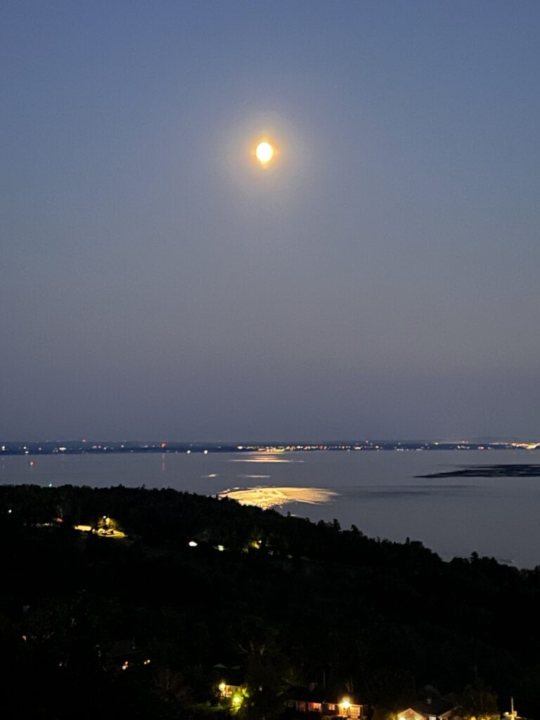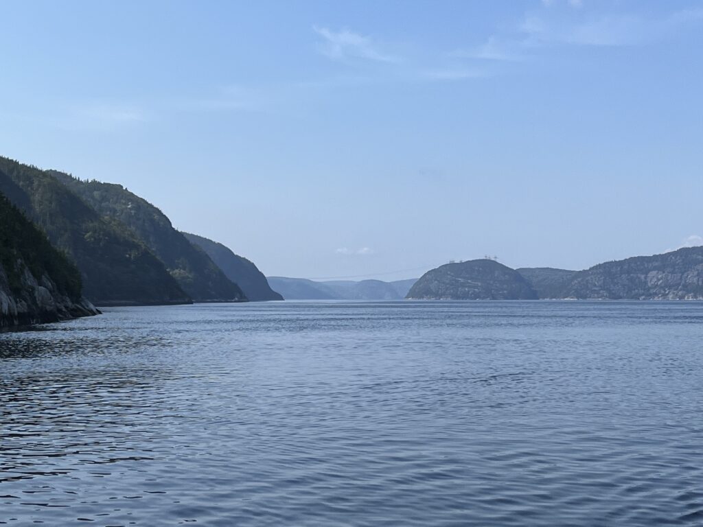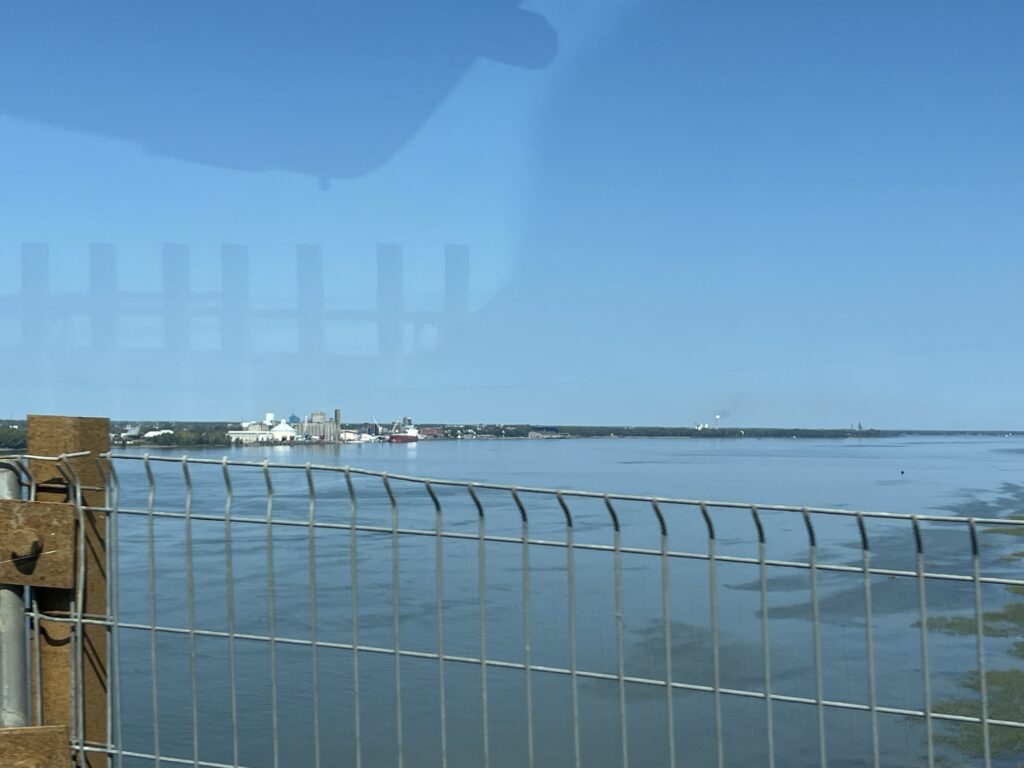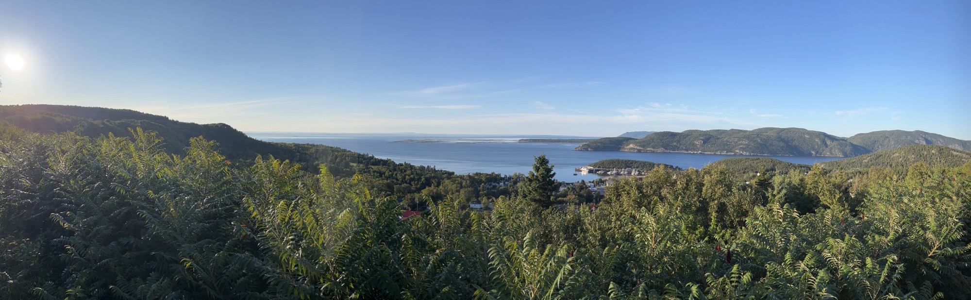
We awake at Camping Tadoussac on a fairly small site (albeit level) just a few feet from the follow view across the Saguenay River looking out into the St. Lawrence River.

There is no doubt that this view (from the fence line) cannot be beat. However, the campground was not really our ‘cup of tea’. Noisy, crowded and full of kids. There is no sense of any privacy or quiet solitude and so we decided to leave for the day and spend it a short distance from town in an area known simply as ‘the dunes’.
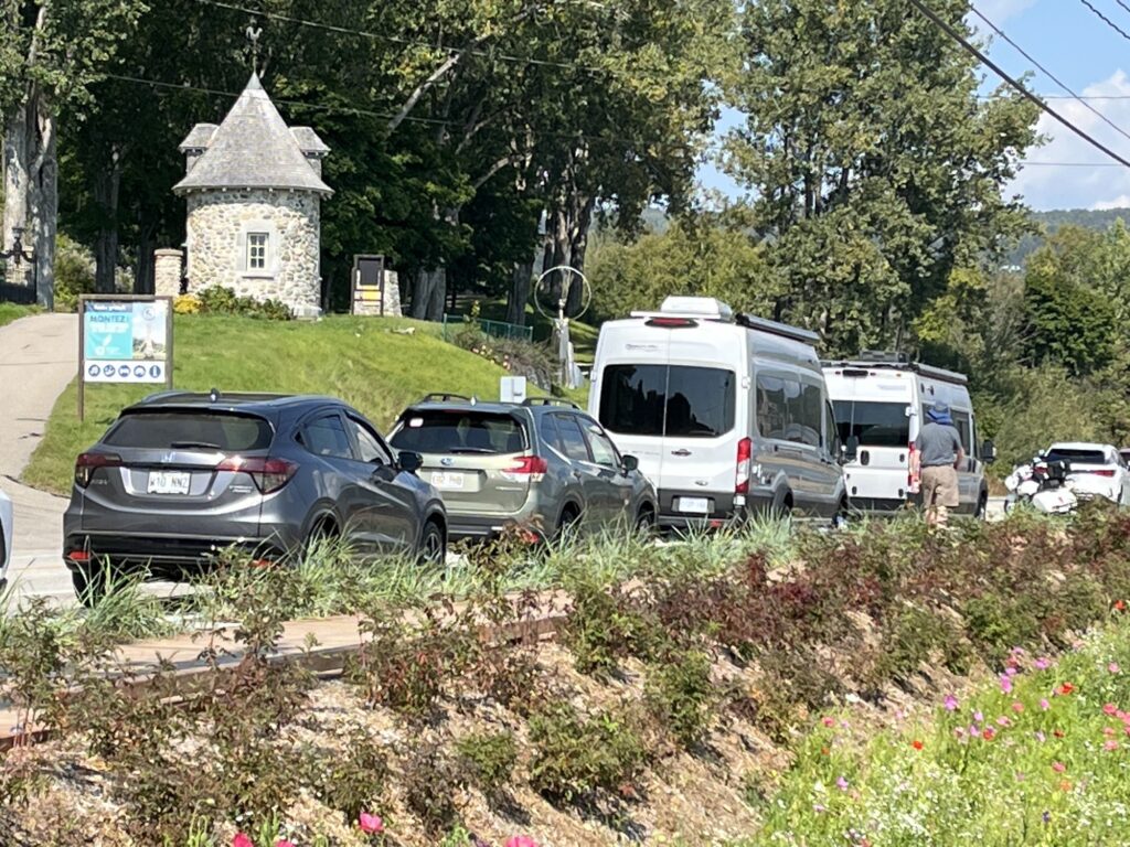
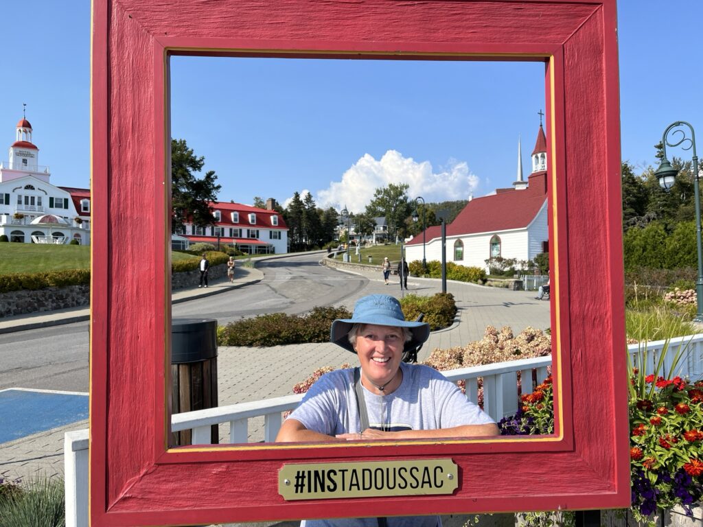
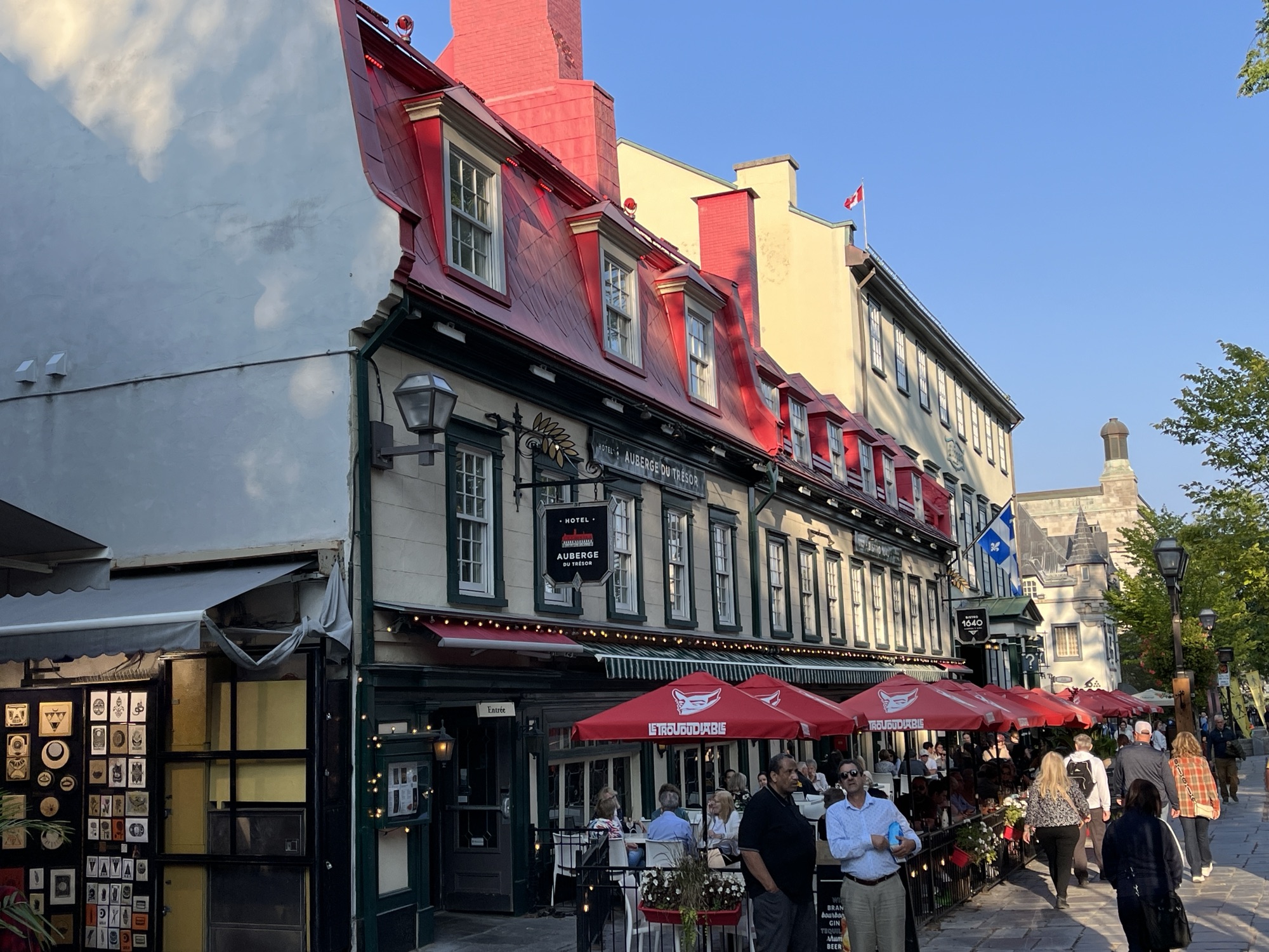
Tadoussac was hosting a large trail-running event today and thus the town was bursting with all sizes and shapes of humans wearing spandex and goretex. Most of the town was closed to vehicular traffic and we are stopped a couple of times to explain that we are just passing through to the dunes and not trying to sneak into town to get the prime parking spot near the waterfront.
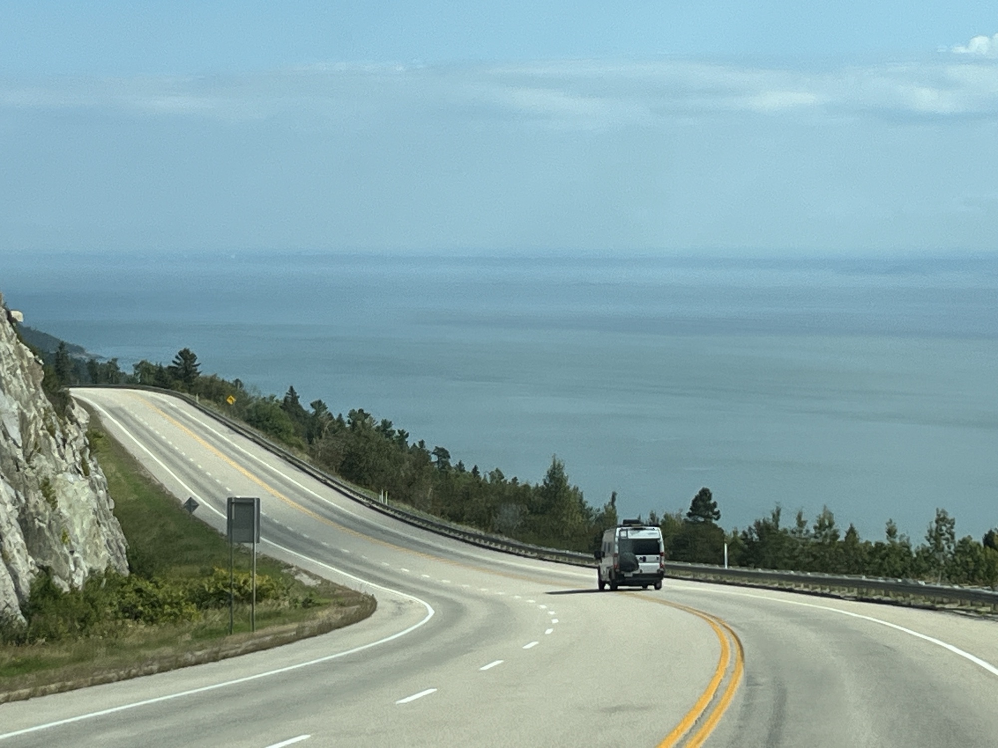
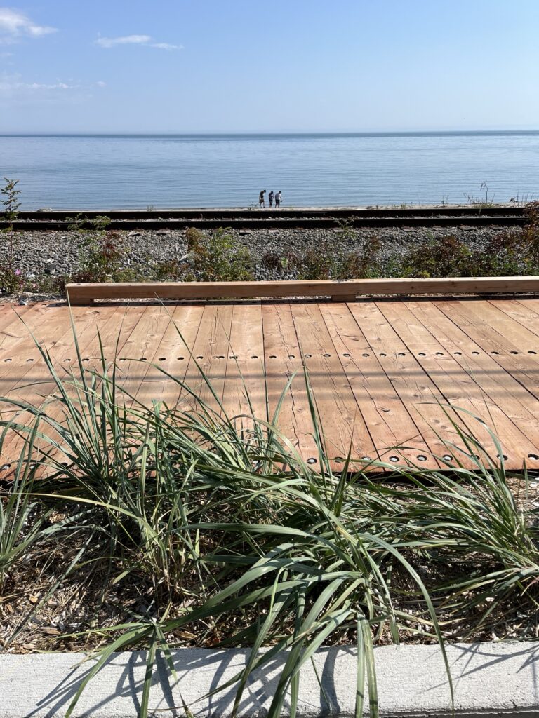
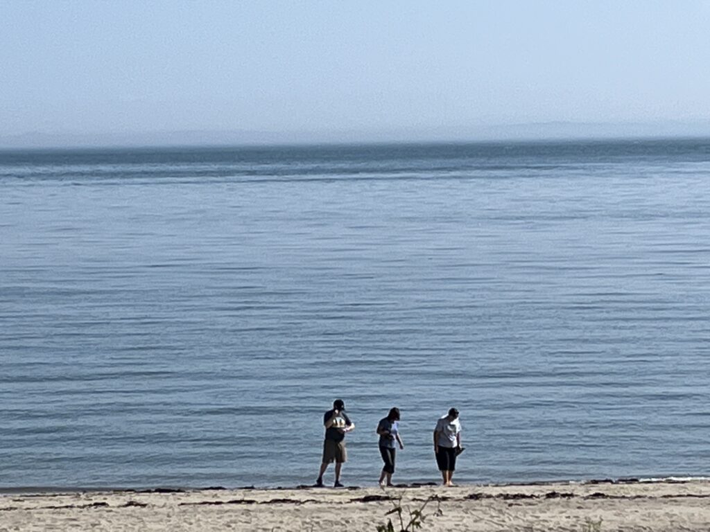
Arriving at the dunes we are in awe of the views across the St. Lawrence as the dunes are huge 100m tall piles of sand left by a glacier many years ago that now perch on the edge of the river. This was a perfect place to setup our camping chairs and hopefully spot some whales.
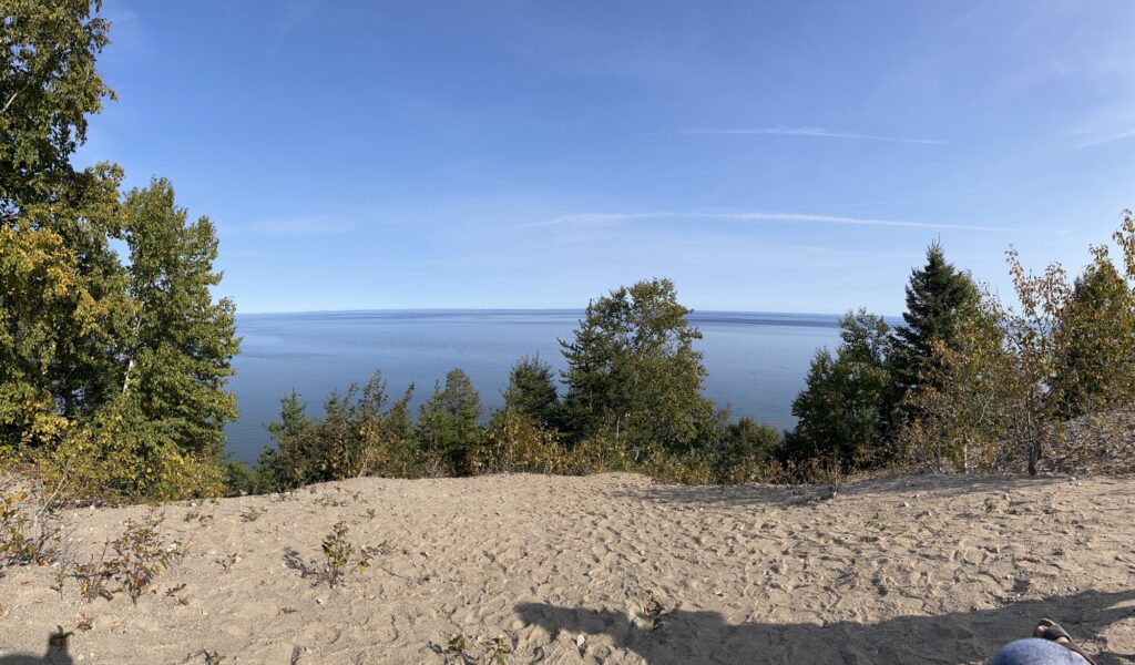
There is lots of parking and space for people, most of whom descended the steep slopes down to the waterfront while we remained at the top overlooking the water.
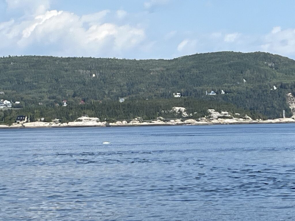
We had arrived mid-morning, the sun had marched relentlessly across the sky, the wind had come up and now gone down. The shadows were now getting long and yet, we had not seen a whale. Not one. We saw whale watching boats head out to the East and return but did not see any whales. It was however a spectacular day to relax in the outdoors.
We returned to Camping Tadoussac and setup again for the evening. We had brought Chinese Egg Rolls from the Wing Lee Take Out in Manotick, ON for dinner which we enjoyed with a glass of red wine while the sun set.
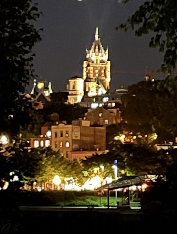
Before heading to bed I took a photo of the same view from this morning but with the moon and share this with you now. Good night.