Day 18: June 6 – Pendleton, OR to Fort Stevens State Park, OR

Last evening a small thunderstorm rolled through shortly after we had setup at the campground. This morning it is dry and we awoke early to use the showers, they were clean and the hot water was plentiful. Ahhh.

We ‘treated’ ourselves to a McDonald’s breakfast (our first fast food on the trip) and then we topped off on provisions at the Walmart before getting back onto the I-84 towards Portland,OR.

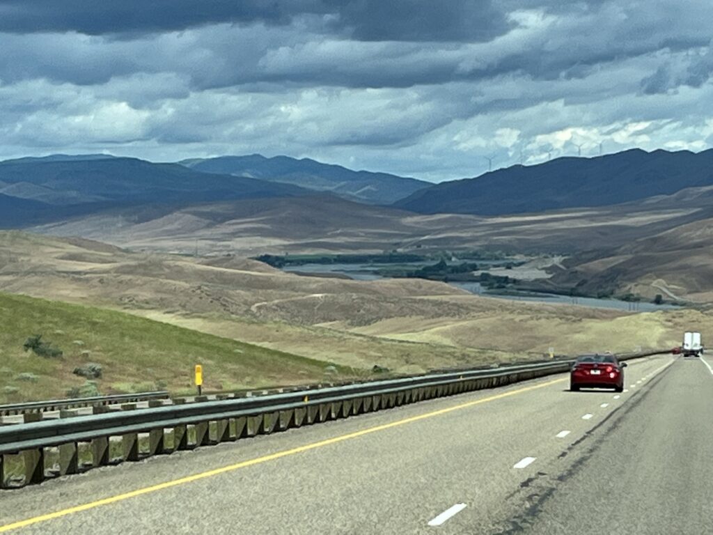
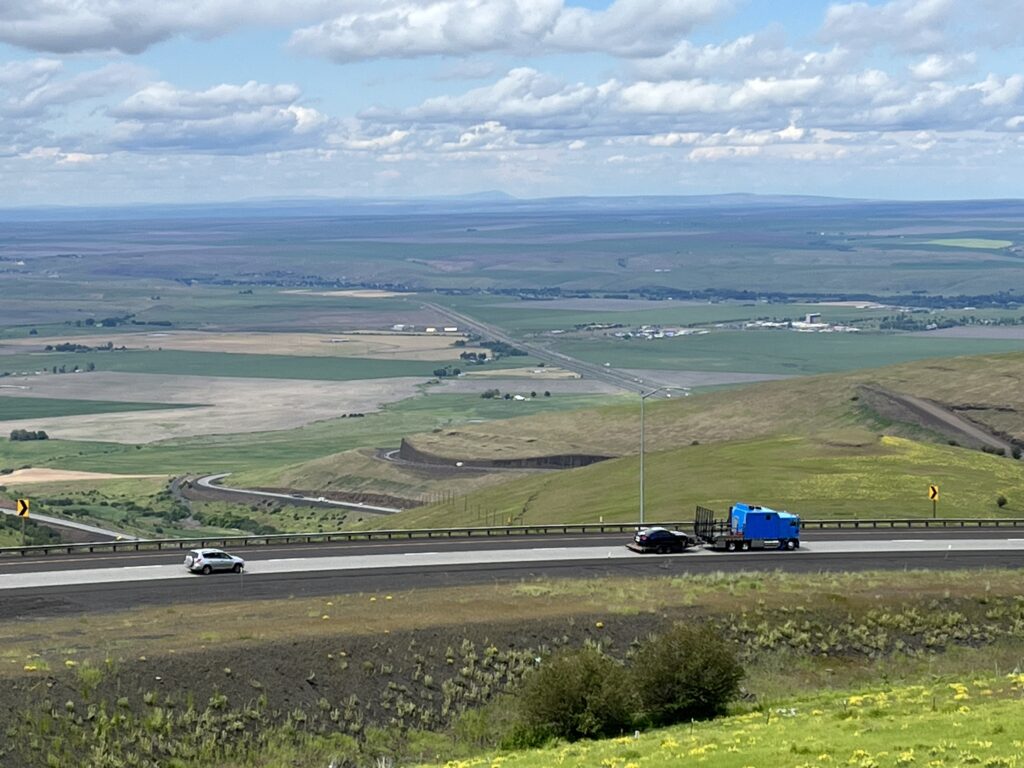
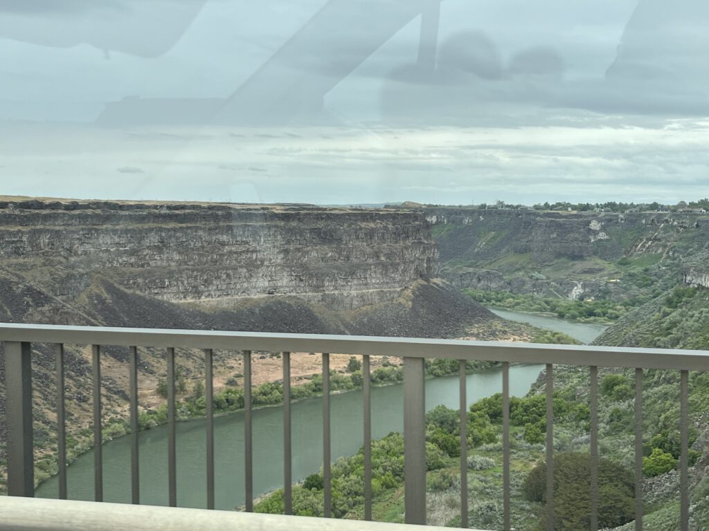
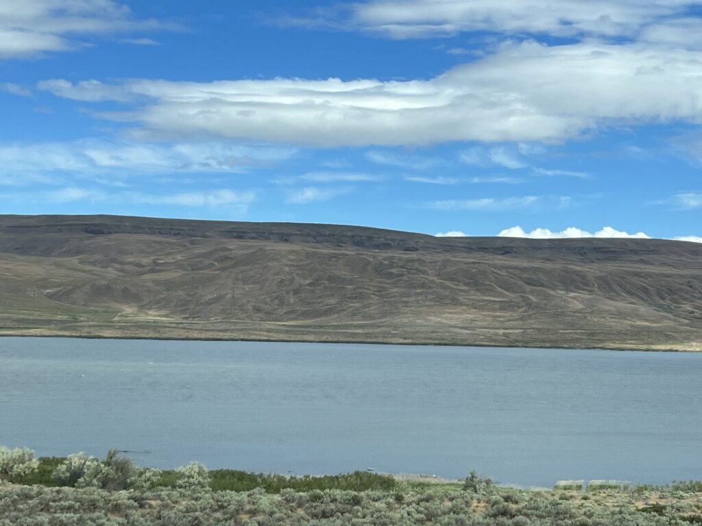
Leaving Pendleton the highway takes one last drop down into the Columbia river valley. For the next few hours we drive alongside this majestic river passing several large hydro-electric dams. Our route is shared with the railroads that also recognized this as a good route up from the ocean and into the heartland of the continent.

Columbia River

As we get closer to Portland we notice that the grasslands of the higher elevations have given way to more arable lands and then forests of tall cedars and firs. A clear indication that we are now on the West cost of the continent.

Mt. Hood Historic railway
Hood River, OR

Along with these forests we witnessed a significant increase in the number of logging trucks on the road.

At Portland, we turn North and join I-5 into the state of Washington for a short drive to Longview, WA where we once again turn west and back into Oregon towards the coast. Longview is clearly a lumber town as we saw huge yards of logs being stored and awaiting shipping overseas where they will be turned into finished goods for shipping back to North America.

As we head towards Astoria, OR we realize that for the past two weeks we had been watching our elevation on the GPS rise from a few hundred meters to several thousand and now that we are near the coast, it is reading less than 50 meters. Before long this should be close to 0 meters as our target for the day is Fort Stevens State Park, OR.

Arriving in Astoria, we notice on Google maps that the primary bridge to the park is closed for maintenance and so Barb re-routes us across the town toward and alternate bridge. This new route through town turns out to be a 40% road upwards over the ridge and down the other side. I want you to think about San Francisco but in an RV. I head toward the hill now staring me in face and ask Barb, “are you sure?” To which the answer is “Yes” and so upwards we go, past the sign for ‘No trucks allowed’, up, up, up and over the top. Of course, the van made it and we were reminded of not blindly trusting what a map might suggest. We laughed at what the folks living on the street might have been thinking.

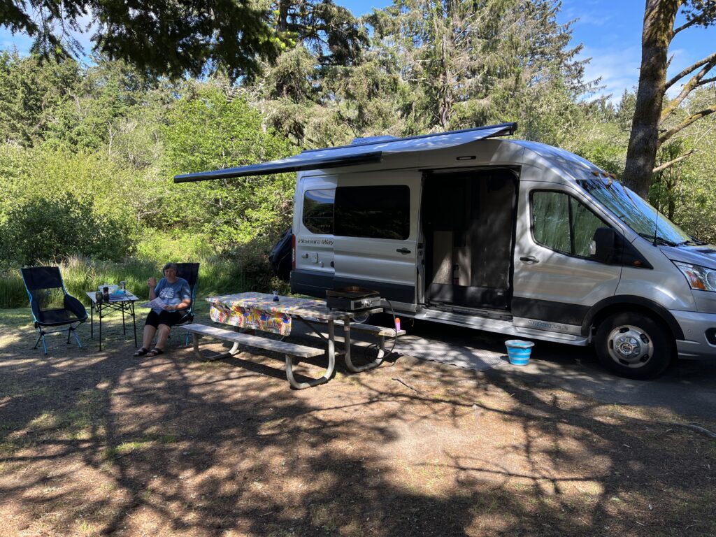
Arriving at Fort Stevens State Park we get ourselves settled as we are staying here for 3 nights to wind down and enjoy some time off-grid. Internet is not very reliable here and so a few days might go by before further posts are made. Back soon!

Fort Stevens State Park, Warrenton, OR

Day 17: June 5 – Glenn’s Ferry, ID to Pendleton, OR

A dry morning awaited us as we looked out across the vineyard, today we are driving into Oregon.

We’ve learned that the Oregon trail passed through Glenn’s Ferry, so named because of the ferry service that once existed here. The Snake river at his point is fairly fast flowing and wide, and during the 1800’s many wagons and animals were lost attempting to cross the river at a point where three islands exist. This prompted the creation of a ferry service which existed for many years assisting those wagon trains heading westward to the coast. Although the ferry service no longer exists, it is remembered in the town name as does the 3 Islands crossing as many businesses use this name.

Our first stop of the day is in Boise, ID at an Oregon trail historical site. The area is now a park where many walk their dogs; but back in the 1800’s it was a crossing point of several trails and a location from which settlers would have had their first glimpses of the fertile Boise river plain. Many would call this far enough and today Boise is a prosperous city surrounded by lush farmland. Yes, they grow a lot of potatoes in this valley.

Oregon trail historical site

Leaving the Boise river valley, we climbed again into the hills and the land became more grassland and rolling. Stopping at a rest stop in one of these valleys, we enjoyed lunch in the van as we watched a variety of travelers exercise their dogs.

After lunch, we continued westward and the fauna changed again to coniferous forests. By mid-afternoon we were back at about 1500m and approaching Deadman Pass, a 6 mile 6% downhill grade that twists and turns it’s way out of the Oregon hills. We stopped at a viewing sight at the top where we could see the vehicles descend and appear to shrink into Tonka toys as they drove down the hill.

Deadman pass

Once at the bottom of the pass, we only had a few miles to drive before we arrived at Pendleton, OR. Tonight we are staying at the KOA in town and it is full, I think we got one of the last sites, but the full hookups and hot showers will be welcomed. Tomorrow we head to the coast.

Day 16: June 4 – Santaquin, UT to Glenn’s Ferry, ID

Turns out that the I-15 was a little too close for Barb to get a good nights sleep. Tony, heard nothing…. Typical.

A fairly early start to today as we’re off to Idaho (5 1/2 hours). A quick top off on fuel and then to Walmart for a few provisions before jumping back onto the freeway.

The Salt Lake City area is a lot like Toronto in that all the nearby communities have now just blurred into one enormous metroplex. From Santaquin the 75km North to where we turned West on I-80 was all built-up urban landscape.

Turning West onto I-80 took us out across the Salt Lake valley at the Southern edge of Salt Lake, here there is nothing, and I mean nothing but the road and a railway track. Eventually we came to the Western edge of the Salt flats and one of the most famous places in the world for those trying to set land speed records, the Bonneville Speedway.

Of course there’s also nothing there, but the salt. Each year USAC marks out a new 10mile long “track” along which the speed demons will run their cars, motorcycles and other equipment. The picture below shows the area in which this happens, the mountains in the photo are evidently more than 10miles away. The vastness of this space is overwhelming as there are no reference points against which to measure distances.

Above you can see a few hardy brave souls who have taken their vehicles out onto the salt flats. We hope that they all immediately go to a car wash after leaving as the cars are covered with salt ‘dust’ after simply driving about.

Returning to the I-80 we quickly cross the state line into Nevada where we continued westward for about 45min before turning North towards Twin Falls, ID.

Rolling grasslands reminded me a little of the Scottish highlands at times with some epic vistas. The picture below shows an area where it appears all of the smaller boulders that were in a glacier were just dropped leaving this hillside strewn with them.

Arriving in Twin Falls we cross the Snake River canyon just West of the site where in 1974, Evel Knievel attempted to jump a steam powered rocket bike across the canyon. Evidently the ramp on which he built the launch structure still survives.

Turning again toward the West we drive to Glenn’s Ferry, ID where we would be staying at the Y Knot Winery. We enjoyed a prime rib dinner and sampled some of their wines before retiring to the van where we watched a movie before settling down for the night.

Day 15: June 3 – Moab, UT to Santaquin, UT

A warm and sunny morning awaited us in Moab. This was the view from our campsite looking West as the sun lit up the rocks.

After enjoying a breakfast outside at the campsite we packed up and headed out to Ken’s Lake Campground (BLM) just South of town where we hopped on our bikes and rode to a scenic waterfall.

Off-road cycling in Moab, UT

We also saw lots of these cacti in bloom. something that neither of us had ever seen before.

Having enjoyed a small amount of outdoors time we reloaded the bikes onto the rack and resumed our travels. This time towards Salt Lake City. Our journey today saw us say ‘so long’ to I-70 for after several days of it carrying us Westward, we would now turn Northerly and take US 191 through the mountains. The drive was spectacular as was the scenery. Even the sky offered up its beauty as can be seen in the following picture.

We stopped in Green River, UT for gas and Barb had to take a picture of the Sinclair company mascot. They at least understand the source of the petroleum we consume.

Woody, Buzz, isn’t that a great looking van?

A few hours after setting out we came down out of the mountains and into the Salt Lake valley. We stayed at the South end of the valley in Santaquin. Rowley’s Red Barn were our hosts. This is a ‘farm shoppe’ that sells homemade fruit pies made from the fruit grown on the farm; however, they also sell other items such as ice cream, preserves, cheese, fresh produce and as shown in the picture below, a large variety of classic soda pop. I enjoyed an old style lemonade and Barb had Butter Beer.

Nope, none of these are sugar-free.

Unfortunately the camping location is adjacent to I-15 and we’re both hoping the traffic noise does not make for a restless night.

Day 14: June 2 – Central City, CO to Moab, UT

We awake with the temperature having dropped to zero Celsius early this morning. We ran the electric cube heater all night and it appears to have warded off any freezing issues with our water lines. Phew! I did however have a restless night thinking about what might have happened. Hopefully I shall sleep better tonight in Moab, UT.

Yes, that’s snow in June.

Today I ran out of superlatives for the views and scenery through which we drove in Colorado. Stunning, Incredible, Amazing, Wow. We’ve already decided to come back and spend far more time exploring this amazing state.

Eisenhower tunnel, elevation 3,401m (11,158ft) and 2.72km long under continental divide

We climbed upwards for the first part of the morning until we reached the Eisenhower tunnel (above). It took under the continental divide, meaning that after we exit all rivers will lead to the Pacific Ocean.

Exiting the tunnel we descended down a 7% grade for 13km (8miles). A good test of nerves and equipment and then onto Vail, CO and the driving was easier (not so quick Tony).

Another long uphill and then a tunnel led to another (albeit shorter) 8km (5miles) 6% downhill section. This would be the last of the big downhills, but there was still many more smaller sections to negotiate.

Eventually the scenery changed and the mountains became shorter and more grass and scrub covered instead of tree covered as they were earlier in the day. We approached Grand Junction and yet again the scenery had changed to be much more desert-like. All around us now we’re flat topped Mesa’s.

Soon we had crossed into Utah and the temperature was 32 degrees C. Not much grows here. Turning down Hwy 191 into Moab, the rocks turned red and the number of campers increased significantly. Moab as a town was not really to our liking, overly commercial and too busy. We passed through on our way to the KOA that would once again be our home for the night. A nice site in a well kept campground. We’d recommend both this and the previous nights stay.