Up and at ‘em by 7:00am and on the road by 8:30am and soon pass the halfway-point along the Trans Canada Highway.

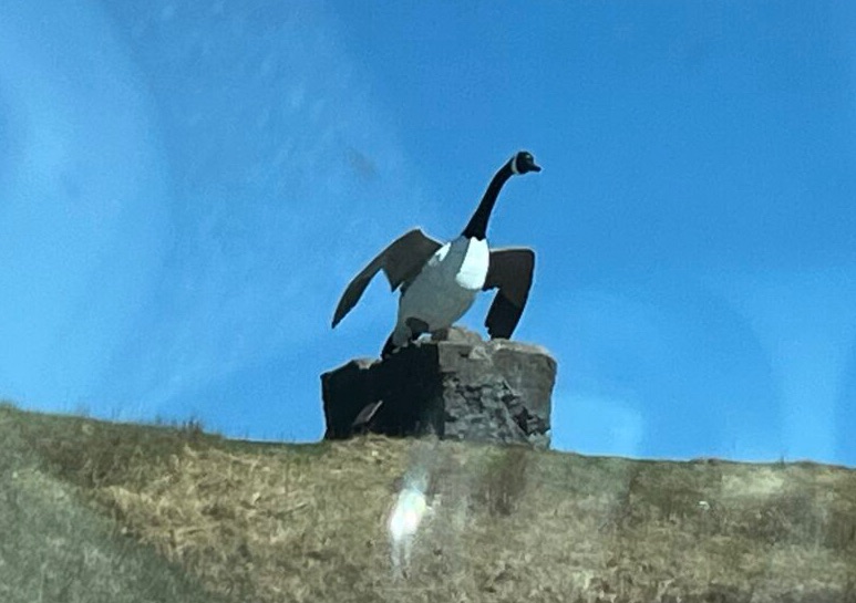
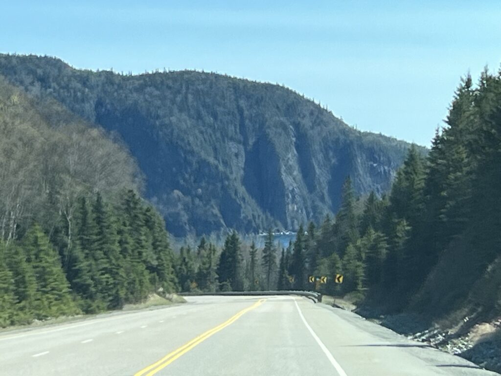
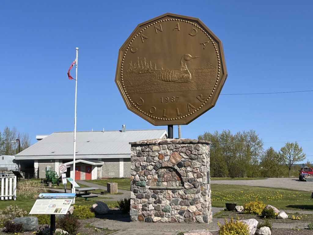
We head towards Sault-Ste-Marie and then turn East on Hwy-17. Our first stop is in Echo Bay, ON to see the giant ‘Loonie’. It’s here to recognize that the original Loon artwork used on the coin was by an artist from Echo Bay.
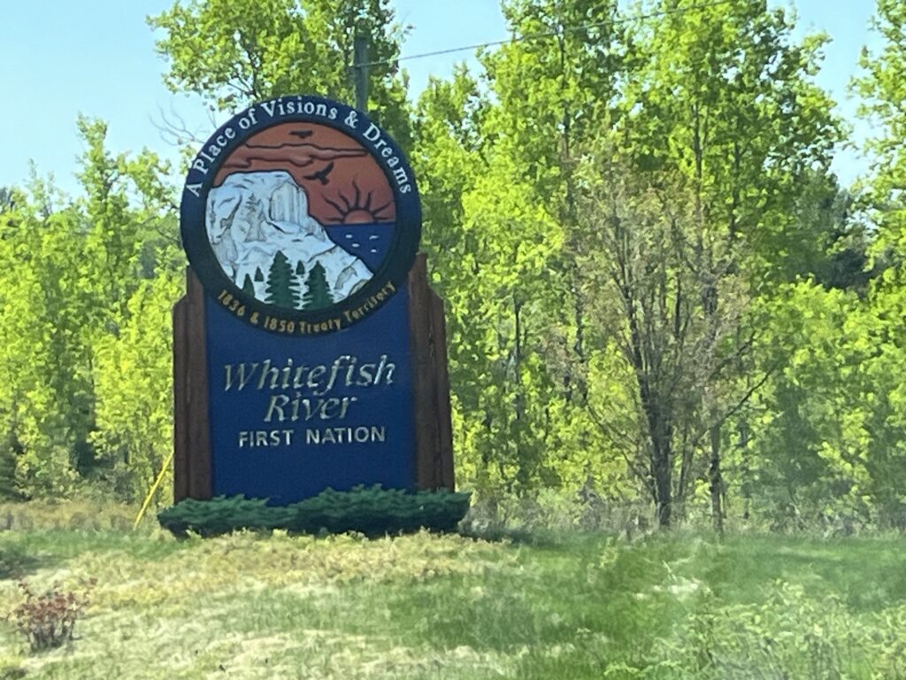
The drive eastward is steady and it takes about 3 hours to get to Espinola, ON. We stop for fuel and then head South on Hwy-6 to Little Current on Manitoulin Island where we stop for a picnic lunch.

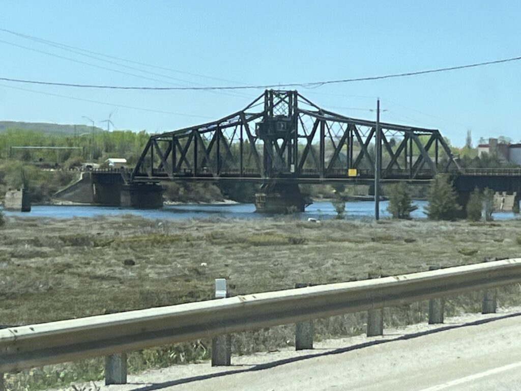
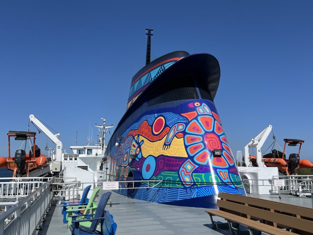
After lunch we continue further South towards South Baymouth, ON and check-in for our ferry reservation. We are heading to Tobermory, ON by way of the MS Chi-Cheemaun.
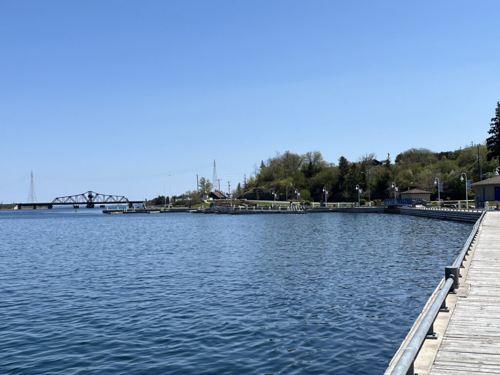
The ferry departs at 3:50pm which gave us an hour or so to look about the ferry port. Loading was easy and the ship is carrying barely a quarter of its vehicle capacity.
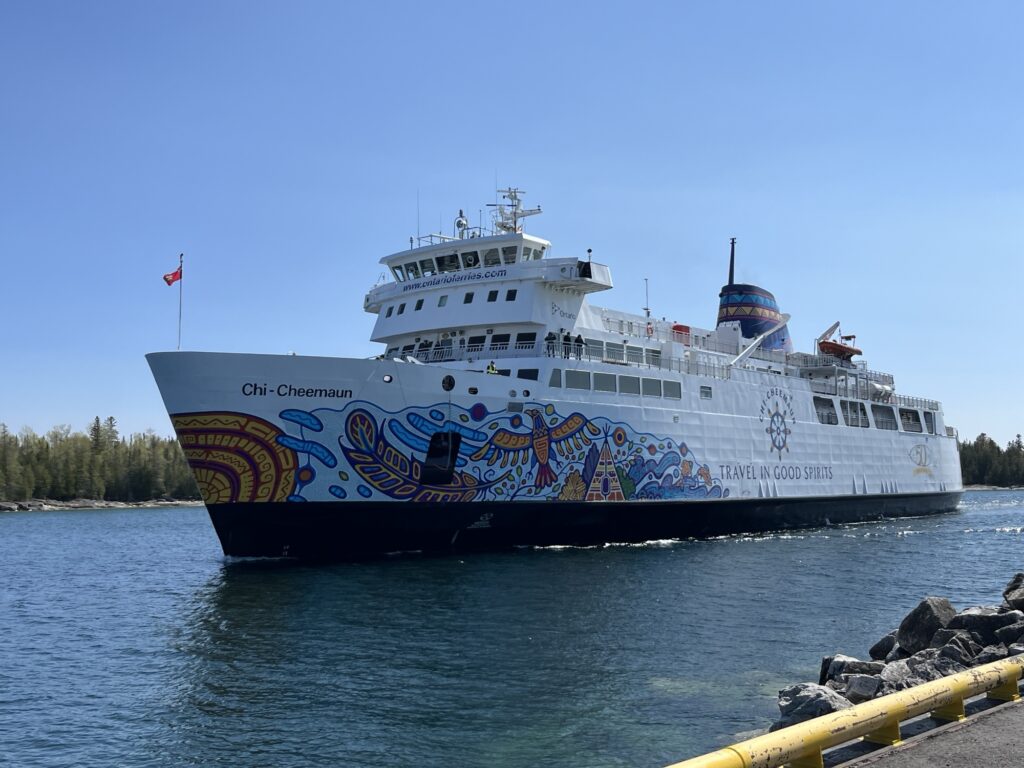
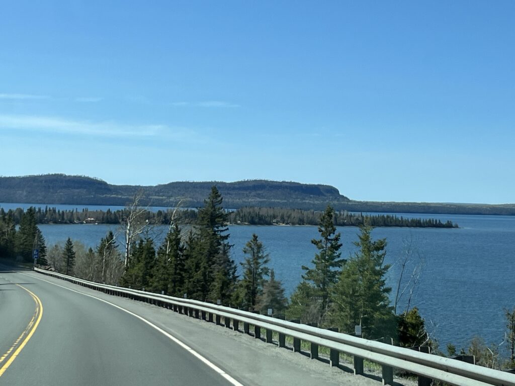
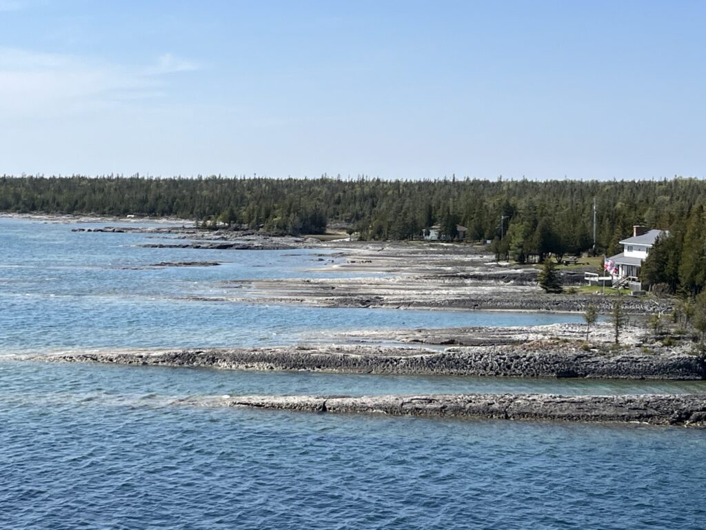
We depart right on-time and head out into Georgian Bay on Lake Huron. The crossing will take about 2hrs so we decide to have an early dinner on board and the spend time relaxing in the lounge.

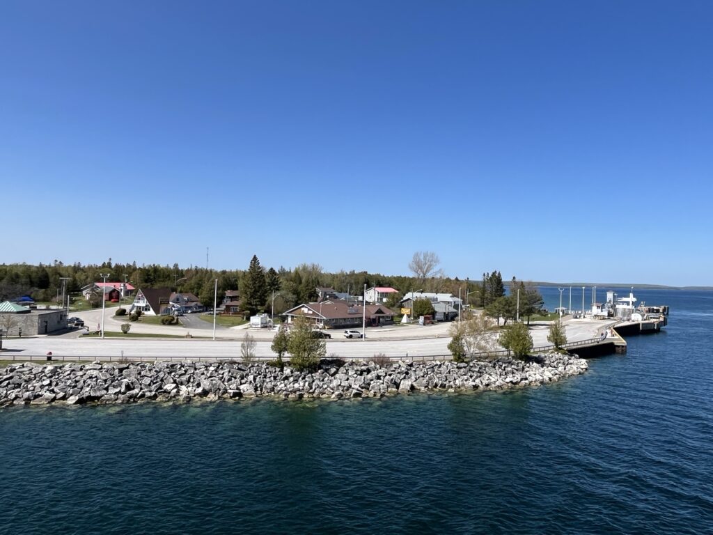

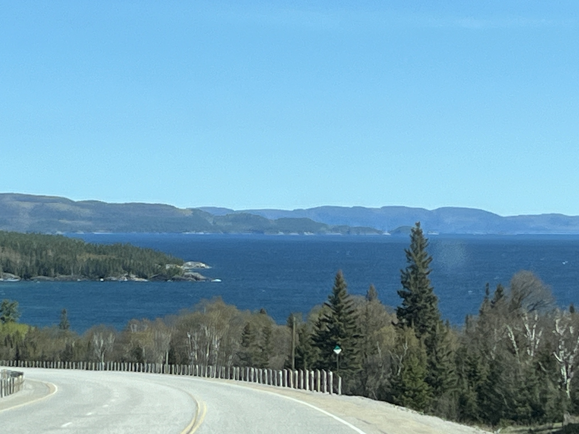
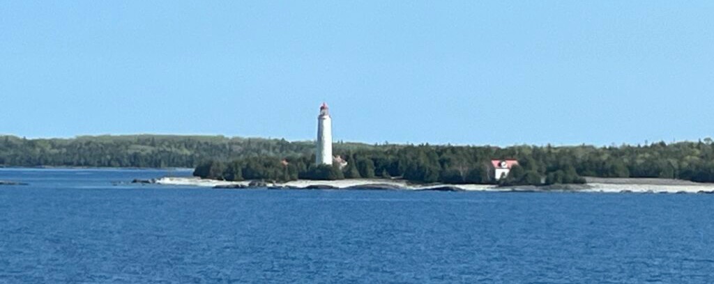
We were asked to return to our vehicles in preparation for arrival 15min ahead of actually arriving. As such we did not see the town of Tobermory as we arrived, instead this is our first view.
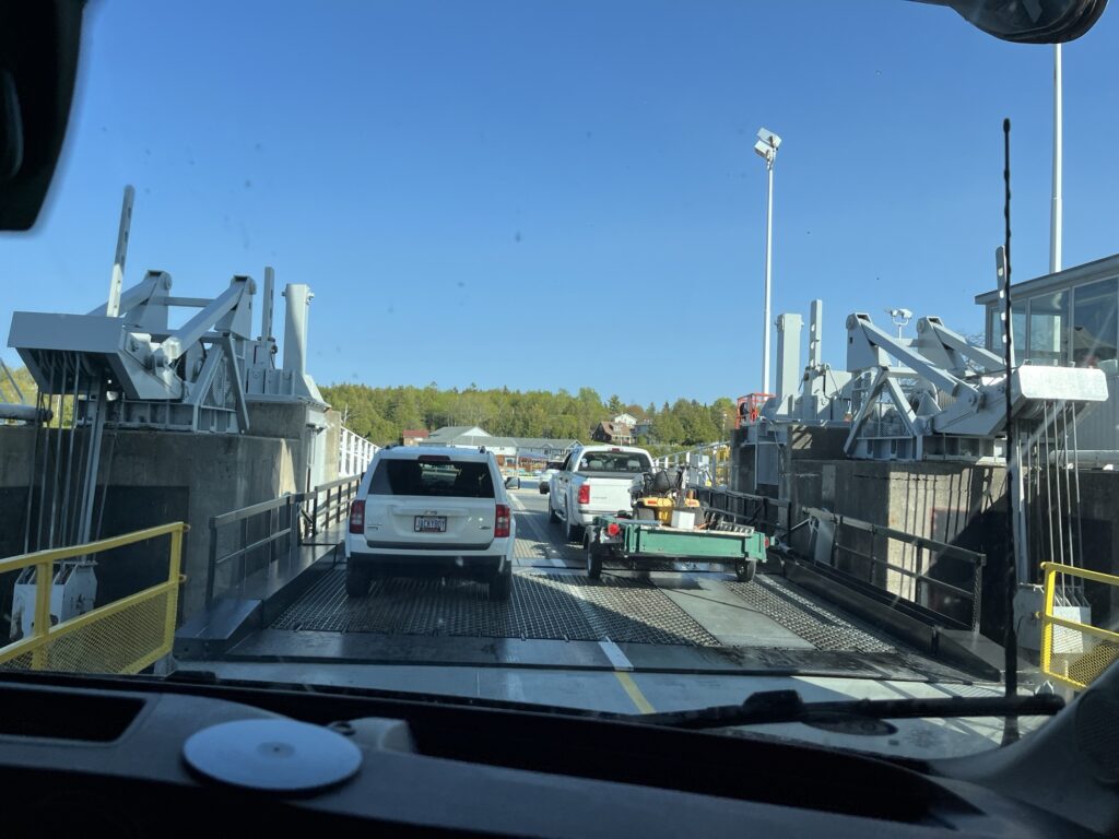
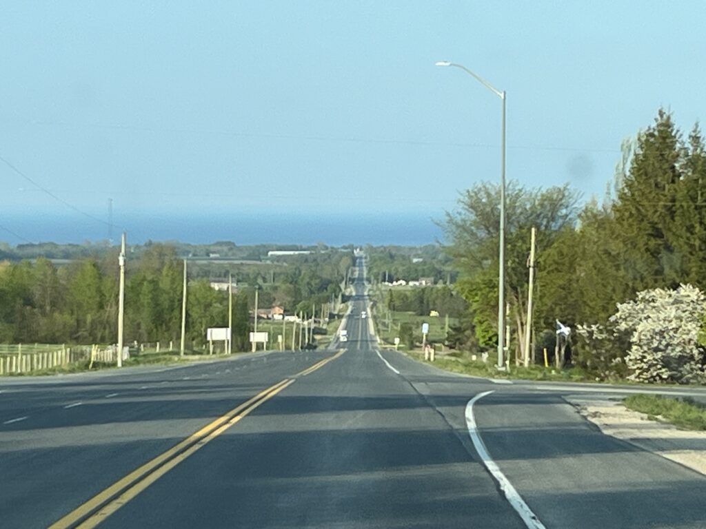
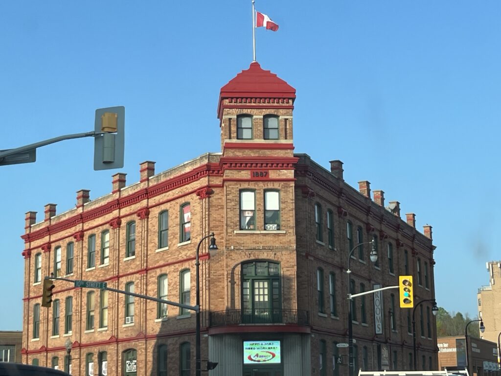
We passed through Tobermory and headed South on Hwy-6. We were soon driving through the familiar agricultural landscape of Ontario toward Wiarton and Owen Sound.

We head East along Hwy-21 towards Meaford, ON where we will be visiting family and resting for a couple of nights. Catch you all in a couple of days!