Day 37: June 25 – Lloydminster, AB to Portage la Prairie, MB

Early start to the day as we head East out of Lloydminster and immediately into Saskatchewan. The border actually splits the town into two and as we depart we both commented on our observation that most of the recent commercial development had occurred on the Alberta side of town leaving the Saskatchewan side feeling less loved.

Saskatchewan is what you expect, arable farm land as far as you can see. On our journey we are accompanied by a railway line and a never ending string of electricity poles. The yellow brick road Yellowhead highway is occasionally crossed by secondary roads that if you turn to look along as you pass, appear to go over the horizon. Maybe Oz is out there somewhere.

Contrary to rumor, not all of the old grain elevators have been torn down and replaced with new shiny silver bins. Below you will see a few that we passed.

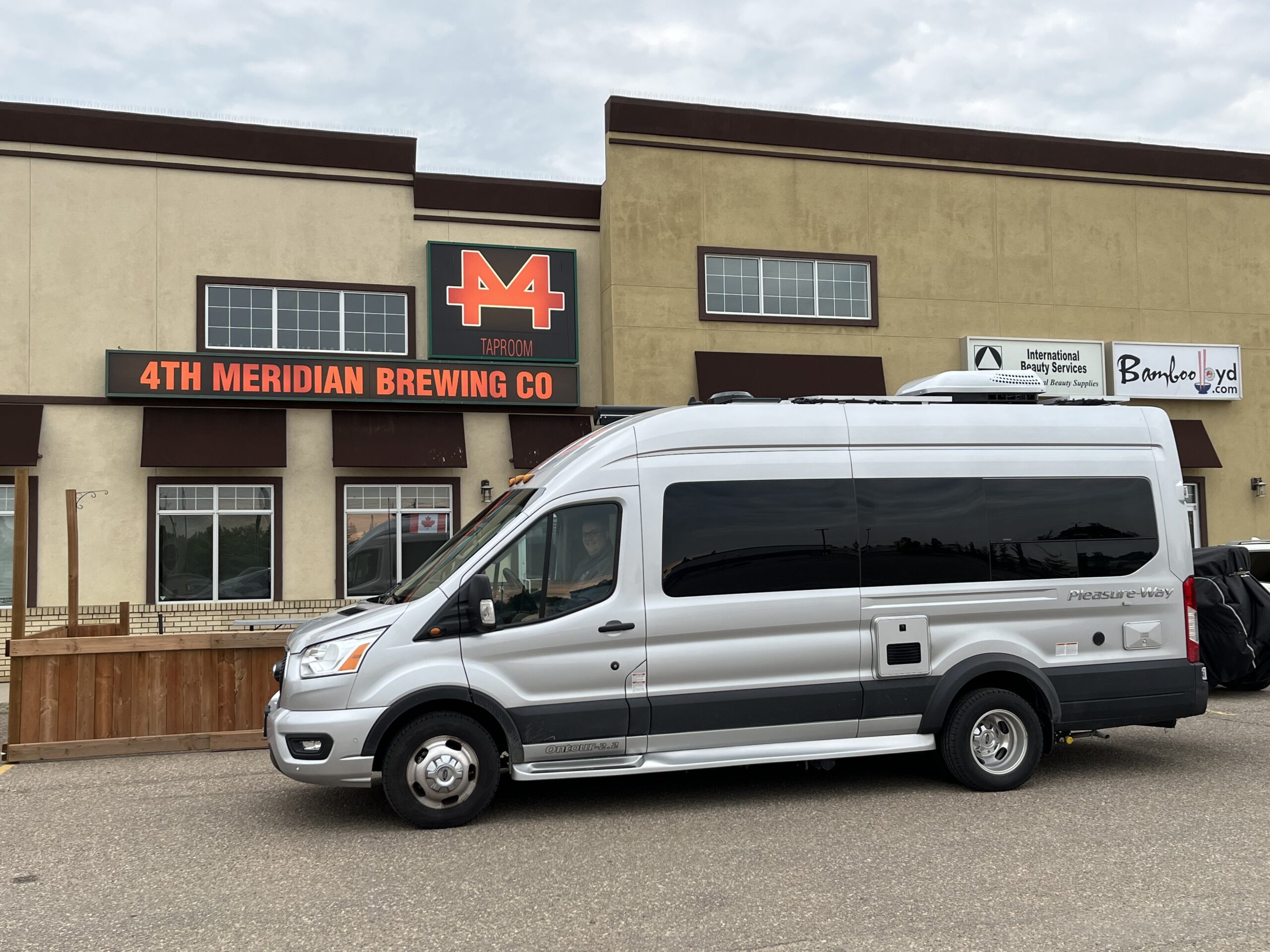
We stopped in Saskatoon primarily to visit the PleasureWay Industries plant where our van was made. Unfortunately it being a Saturday there was no one there. We still took the obligatory photo in front of the factory.

The afternoon was supposed to go like this; drive into Manitoba, find the town of Russell, and end the day by parking up for the night in their “Peace park” where they have free camping and electrical hookups. I say ‘supposed’ because that’s not quite what happened.

We started the afternoon well and finished driving across Saskatchewan and into Manitoba. We even found the town of Russell and the ‘Peace park’. It was barricaded and a sign indicated that the site was soon to be the home of a new Co-Op. Hmmm. Now what? Where do we stop & park up for the night?

After filling up with fuel, we travel a short distance and look at a couple of campgrounds neither of which we felt comfortable stopping in (one was particularly sketchy although the online reviews made it sound fairly nice but basic). Looking at the map we realize that we were only 2 hours from Portage la Prairie and a Walmart. Decision made! Onwards we drove, we can re-provision in the morning.

The Walmart parking lot was freshly paved and there was lots of room. It was 10:02pm CDT and we had just driven for about 12 hours and covered just over 1000km. Sleep will come easily tonight.

Day 36: June 24 – Jasper National Park, AB to Lloydminster, AB

That was a cold night. We have recently slept easily through a few cooler nights without turning on the furnace and so thought last night would be the same. Nope, something about last night made the 5C feel colder than it was. Should have turned on the furnace or put on the heavier blankets.

Today we leave the mountains and drive across Alberta, the landscape will change significantly and our thoughts will transition towards going home. It will take a few days, but we still expect to arrive home in about a week.

Leaving the park we came across a herd of female Elk with their young laying beside the park entrance, a nice surprise for this time of day. From the park we headed into Jasper for a quick stop before getting back onto Hwy-16 and heading East toward Edmonton.

The first hour or so the road roughly follows the Athabasca river out of the mountains, it is running very high and appears to be close to flooding. Before long we pass the last of the high mountains and enter the foothills. The road rolls up and down and is far less challenging than that of yesterday. There are more trees in this part of the province than we expected but as we approach Edmonton more arable land appears as a harbinger of what lies ahead.

We take Hwy-216 and skirt around Edmonton as Friday afternoon rush hour has started and Hwy-16 through the city center is congested. A short 30 minutes later we rejoin Hwy-16 and are now on our way towards Lloydminster.

We stopped for fuel in Vegreville and also found that the town has the worlds 3rd largest Pysanka. Mounted on a post in a park at the East end of town is a giant Ukrainian Easter Egg. It was made for Alberta’s Centennial in 1974 and rotates with the wind.

We are well and truly away from the forests of western Alberta and now find ourselves driving through rolling farmland. Looking to the right or left as we pass roads leaving the highway we see that they head straight across the landscape for as far as we can see.

Eventually we arrive in Lloydminster which actually sits on the border between Alberta and Saskatchewan. Tonight we are staying at the 4th Meridian Brewery. Tomorrow we will cross Saskatchewan and hopefully enter Manitoba.

Day 35: June 23 – Yoho National Park, BC to Jasper National Park, AB

Today will not be what we expect. Although we slept really well and neither of us heard any trains overnight, the day would bring just a few surprises.

We started off with our usual morning preparations and then because the driving would only consist of about 3 hours, we thought we’d hike the “Walk in the past” trail which was documented at just 1.2km each way before we left the campground this morning.

The trail has interpretive stops that tell the story of the building of the railway into Kicking Horse Pass. Little did we imagine that the 1.2km trail (actually 1.6km) would rise by 100 meters through the trees from the campground up and across the Trans-Canada railway to the original 4.5% grade ‘Big hill’ that the trains had to negotiate before the spiral tunnels were built in the early 1900’s. Phew, this was quite a hike, but we had some amazing views across the valley.

Leaving the campground, we had a short drive to Hwy-93 that would take us up to Jasper. Having the Park Pass allowed us to just drive into the park and the road then began its long slope upwards. Shortly into the drive we drove over the Bow mountain summit at 2,098m. Continuing North, the road rose and fell through various passes, the sky darkened and rail began to fall. The rain soon changed to snow, yes snow in late June. No probs we thought, a few flurries in the air, nothing to worry about here. 20 minutes later the snow was accumulating on the windshield wipers, the campervan accident avoidance sensors were covered and resulted in multiple messages within the dash for Tony to clear. Soon enough the snow was accumulating on the road, not much but enough to make driving a 10,000lb vehicle an adventure.

We arrived safely at the Columbia Icefield center but due to the snow and the low clouds could not see any mountains or the Athabaska glacier. We are soon to learn that glacier tours have been canceled for the day as 2m of snow had fallen overnight on the glacier preventing even their large busses from venturing there.

We also had tickets for the Skywalk and so took the coach to that and went for a walk on the wild side (see pictures below). Walking on a glass platform over 900ft above the canyon floor was an interesting experience. The glass is 36mm thick and the cantilevered structure is supposedly designed to support 400,000lbs. Tell that to your brain as you first step onto the glass.

Leaving the zero degree Celsius temperatures at the Icefield, we drove to Jasper where it was a balmy 9C. We treated ourselves to a nice meal ‘out’ this evening before heading to our campsite at the Whistlers campground just outside of town. It was still raining.

We settled in for the evening and watched a movie before saying good night. Tomorrow we cross Alberta.

Day 34: June 22 – Tappen, BC to Yoho National Park, BC

After a restful night at the winery, we enjoyed a quiet breakfast and headed out. Destination today, Yoho National park.

Our first stop was in Revelstoke where we enjoyed a Tim Horton’s bagel BELT and coffee before filling up with fuel. Starting to reacclimatize ourselves to CDN prices for fuel, Yikes!

We visited the Revelstoke Railway Museum and learned more about the history of the railway through Revelstoke and the Canadian Rockies. Definitely worth the stop if you’re in the area.

Continuing our journey we headed towards Roger’s Pass. It was raining. By the time we arrived at the Roger’s Pass information center it was raining, a lot. We learned that needed a Parks Canada park pass to drive up the Icefields parkway (tomorrow) and so purchased this here as it also provided us access to sites in Glacier, Yoho, Banff and Jasper National Parks.

At Golden, BC the highway is undergoing some rather major reconstruction East of the town. The section of the highway that descends into the valley is being widened to four lanes. Now as the existing two lanes were carved into the mountain sides you’re probably wondering where the new lanes are being built. Well, from our perspective it appears that they are building in thin air above the valley; however, in reality the lanes are being built as bridges clinging to the side of the mountains. The workers appear to work in very perilous conditions daily to build these new lanes. The heights and where this is being done made our heads spin.

We soon arrived in Yoho National Park where we would stay at the Kicking Horse campground just West of the CP spiral tunnels. Our campsite is wonderfully level and close to brand new showers & washroom facilities. The view is amazing and we walked around the campground taking it all in before dinner. If your a light sleeper the sound of squealing brakes from the trains descending the hill into Kicking Horse pass might put you off of camping here, luckily we tend to be sound sleepers but will let you know in the morning. Good night.

Day 33: June 21 – Galiano Island, BC to Tappen, BC

We have booked travel on the 8:25am ferry to Tsawwassen as our drive is looking to be about 5 1/2 hours for the day. This meant an early rise so that we can load the bikes, enjoy a quick breakfast and say our goodbyes before leaving for the ferry terminal at 7:00am. After a week of being lazy and sleeping in more than a little, the early morning was a little trying but we did it and managed to be on our way shortly before 7.

We’ve had a great time visiting and catching up on ‘life’ over the past seven days and the island has been a perfect place in which to recharge ourselves ahead of the drive home across the country. We can’t thank Tony’s parents enough for their hospitality.

Back on the mainland our first stop was a Walmart to top-off our provisions and remount the bikes onto the rack. I kept them in the van for the ferry ride as the ramps can be notoriously bumpy and I was afraid of dragging the rack while embarking or disembarking. Wouldn’t you know it though, on this crossing the ramps were almost level and bump free.

We drove from Tsawwassen to Surrey via Hwy-17 in order to join the Trans-Canada highway. From there we headed towards Hope, BC and enjoyed an ever thinning traffic volume as we went. By the time we had reached Hope, the traffic was quite light.

We drove up the Coquihalla highway (Highway thru Hell) and have a completely new appreciation for the truck drivers that take this route in the Winter months.

The scenery changed as we approached Kamloops to something similar to what we had seen in Utah/Nevada, mountain grassland meadows and scrubland.

From Kamloops we turned and headed East further into the mountains. Our stop for the night is a charming winery in Tappen, BC. Only a few kilometers from the highway, but peaceful and serene. Good night one and all, enjoy the pictures from today.