Day 20: Stranger Things

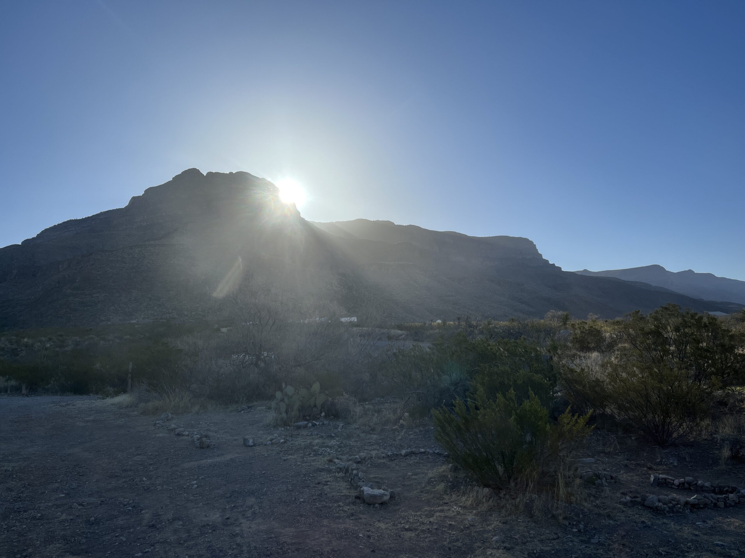
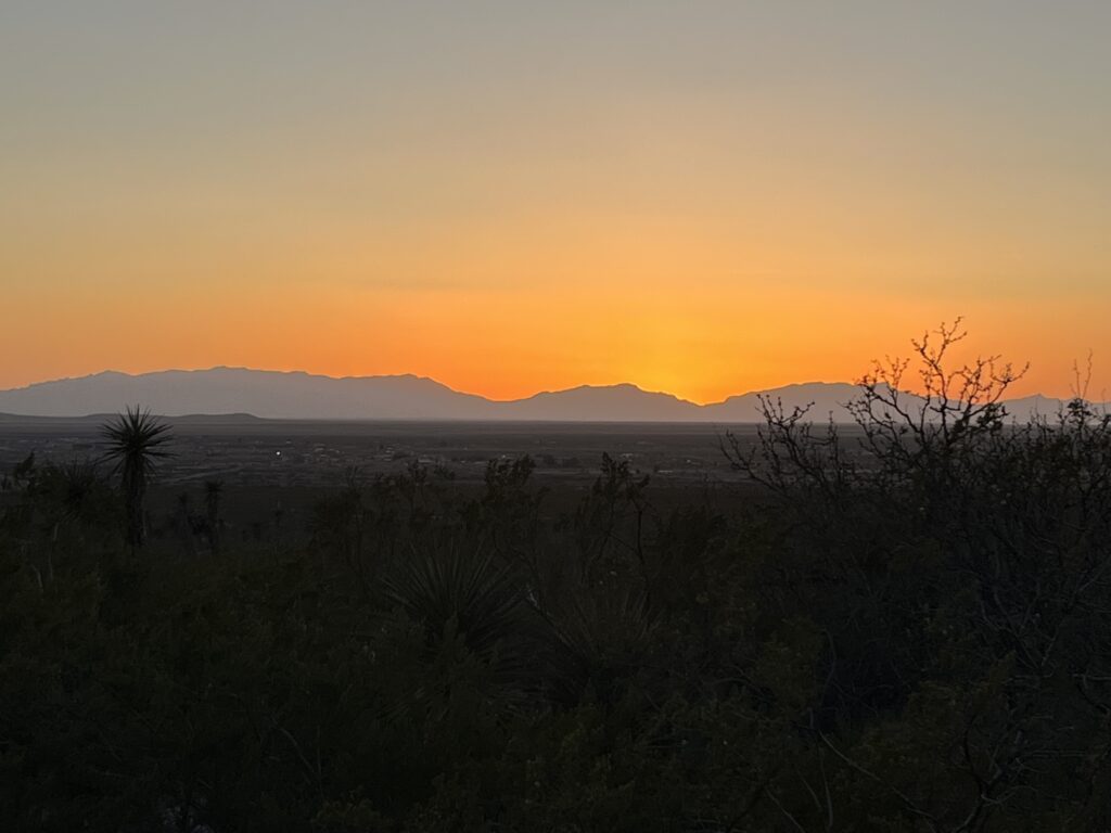
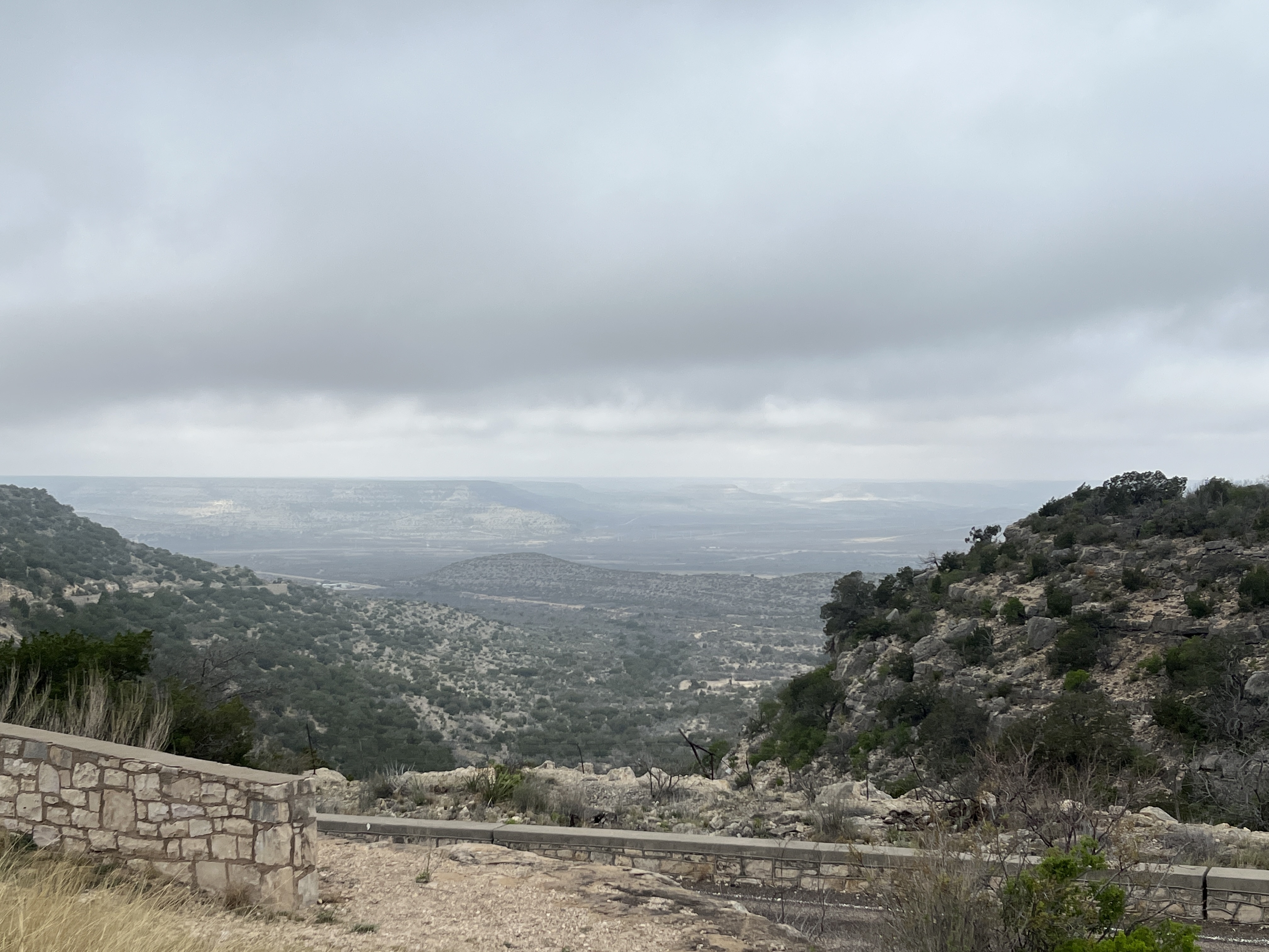
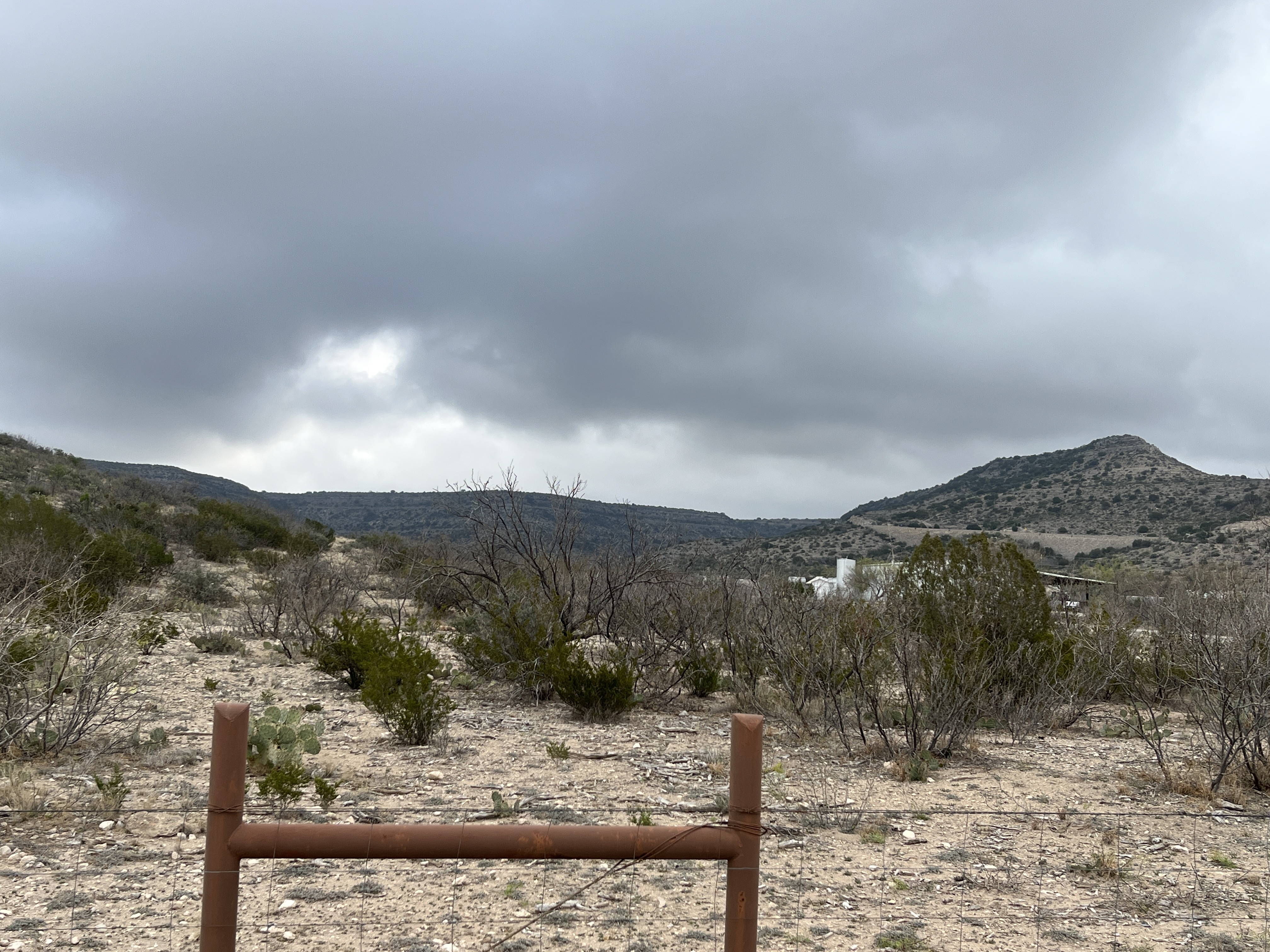
Today is planned to be a day of travel as we head into Southern Arizona. Up by 6:30am and out for my walk through a new housing development near the KOA. Total distance of 4.3km with a 79m elevation gain, phew. Nice homes being built here in the southwestern adobe style that is so popular. The development is on a hilltop and has wonderful views across the Rio Grande valley and Las Cruces.

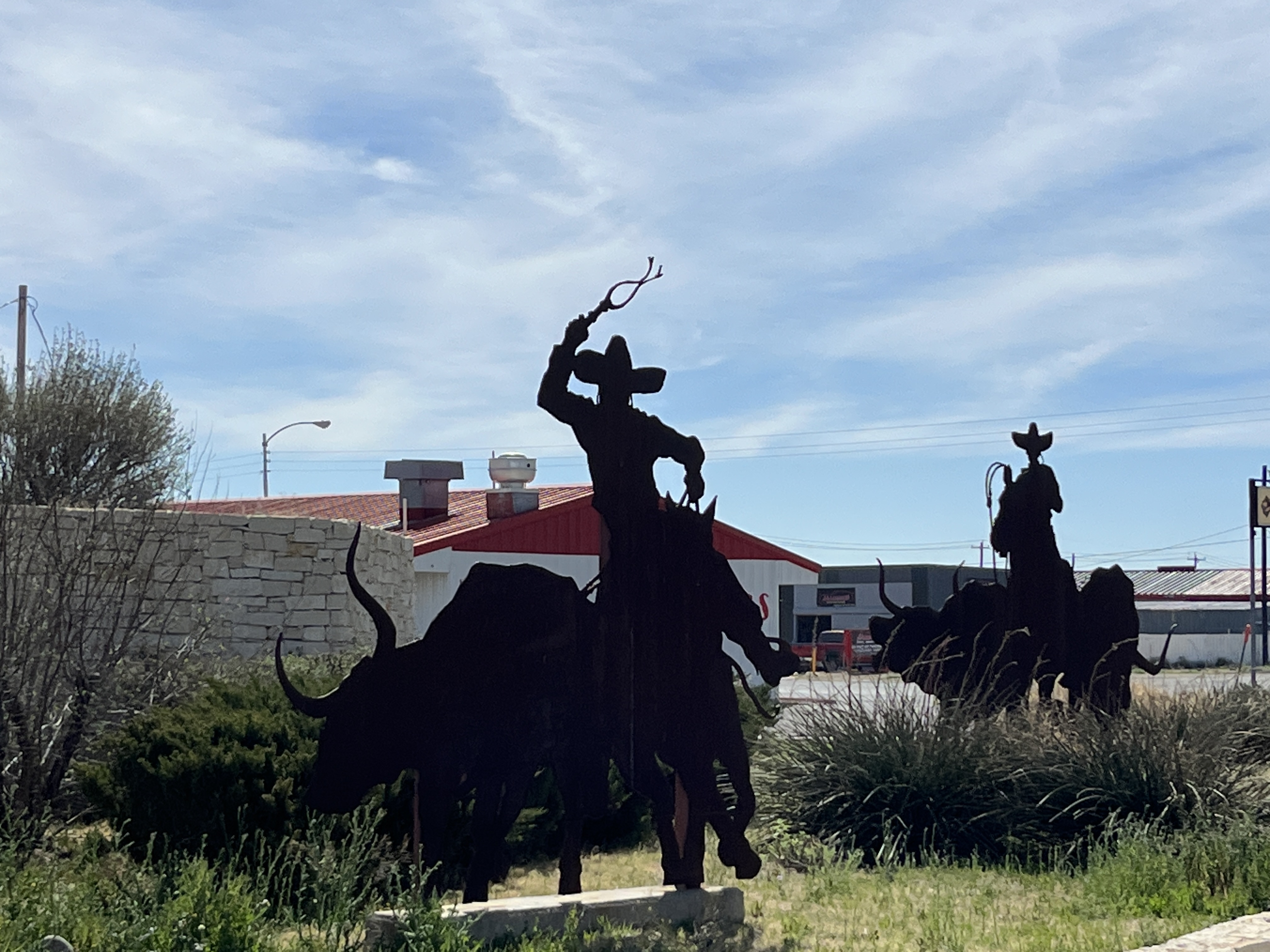
It was while walking that I saw the first unusual thing of the day, a scrap metal roadrunner structure perched on the hilltop adjacent to I-10. No picture taken though.

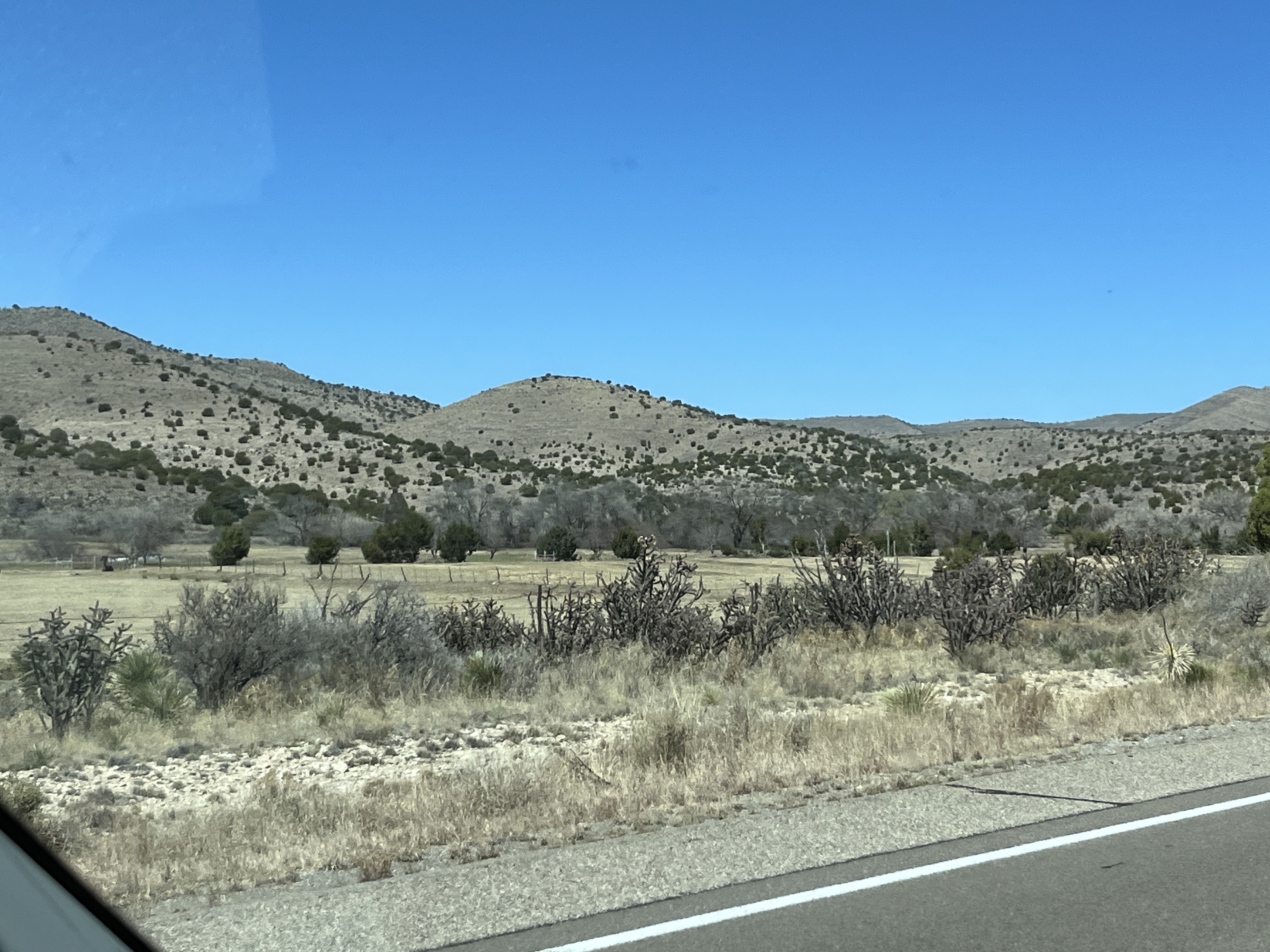
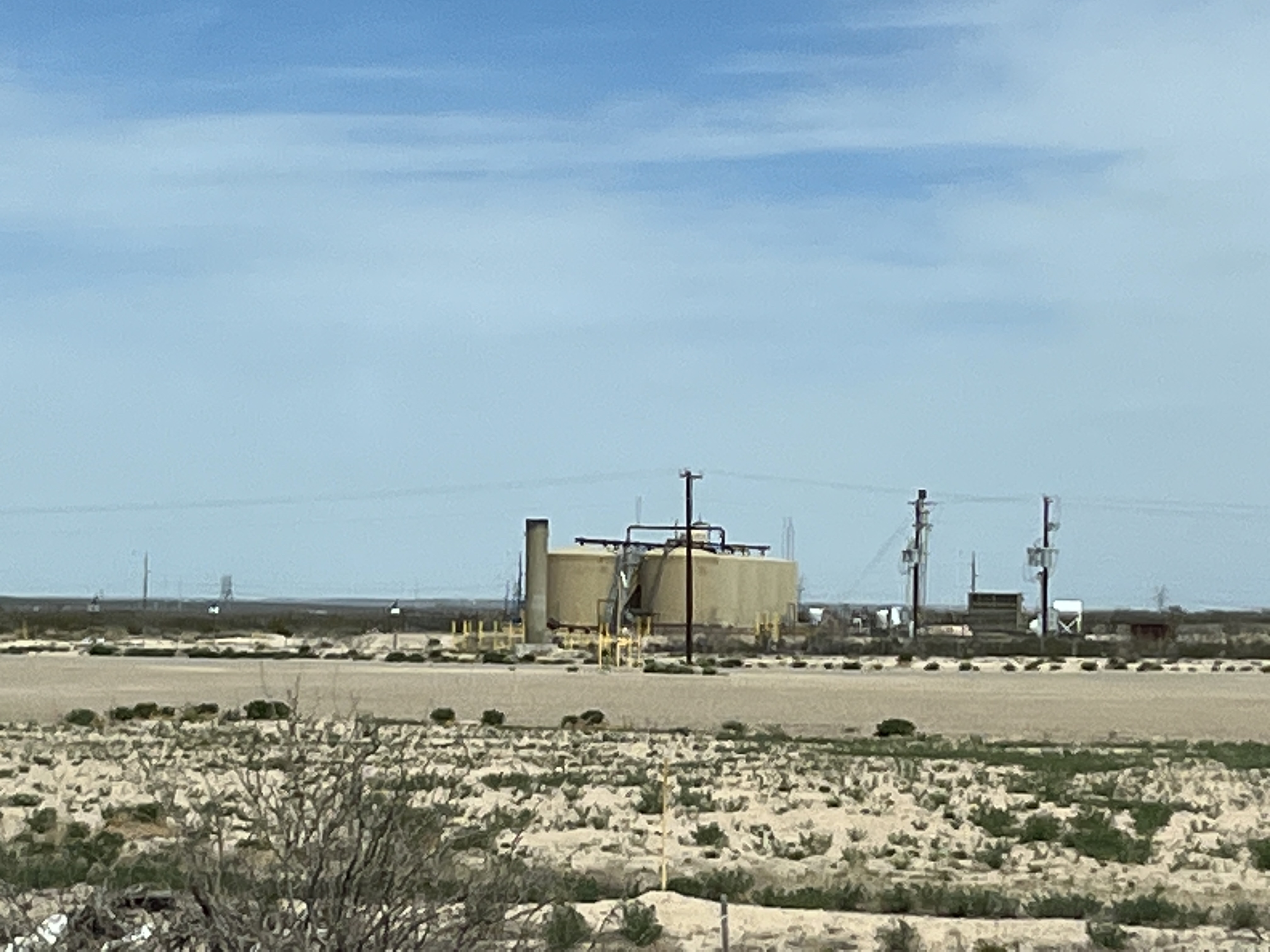
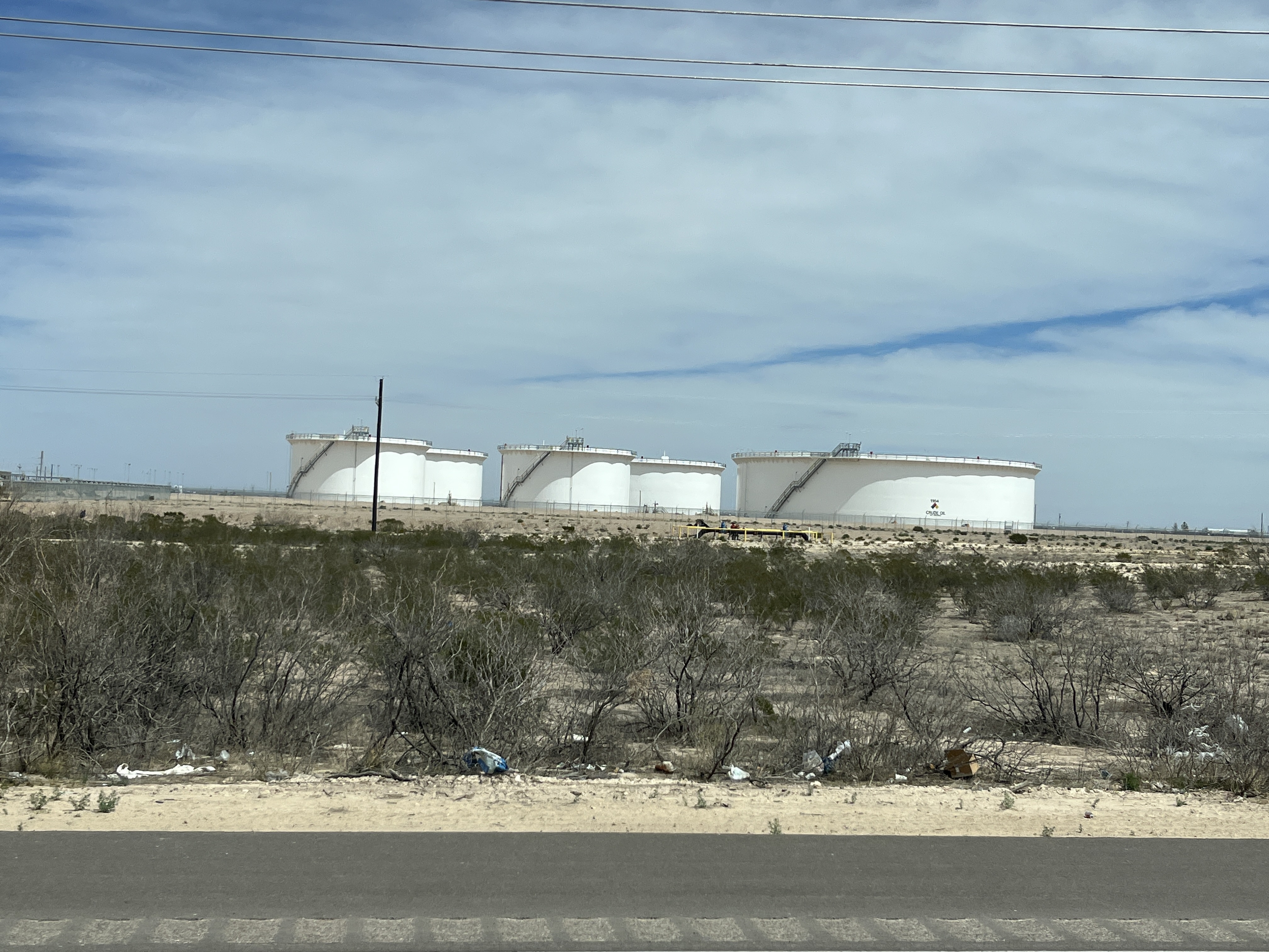
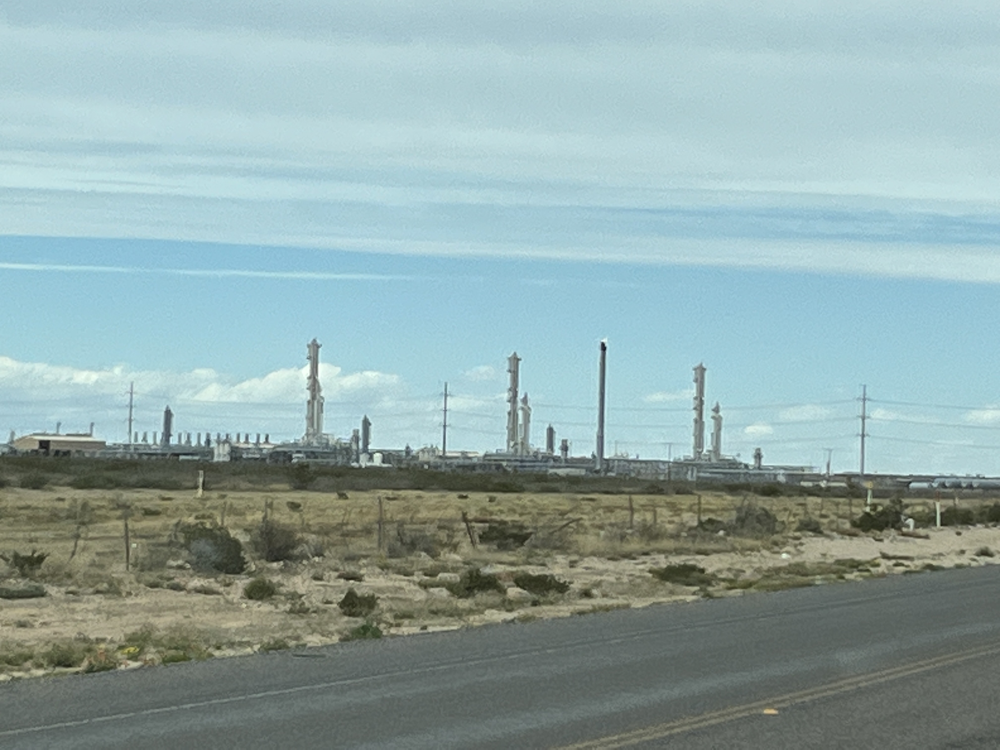
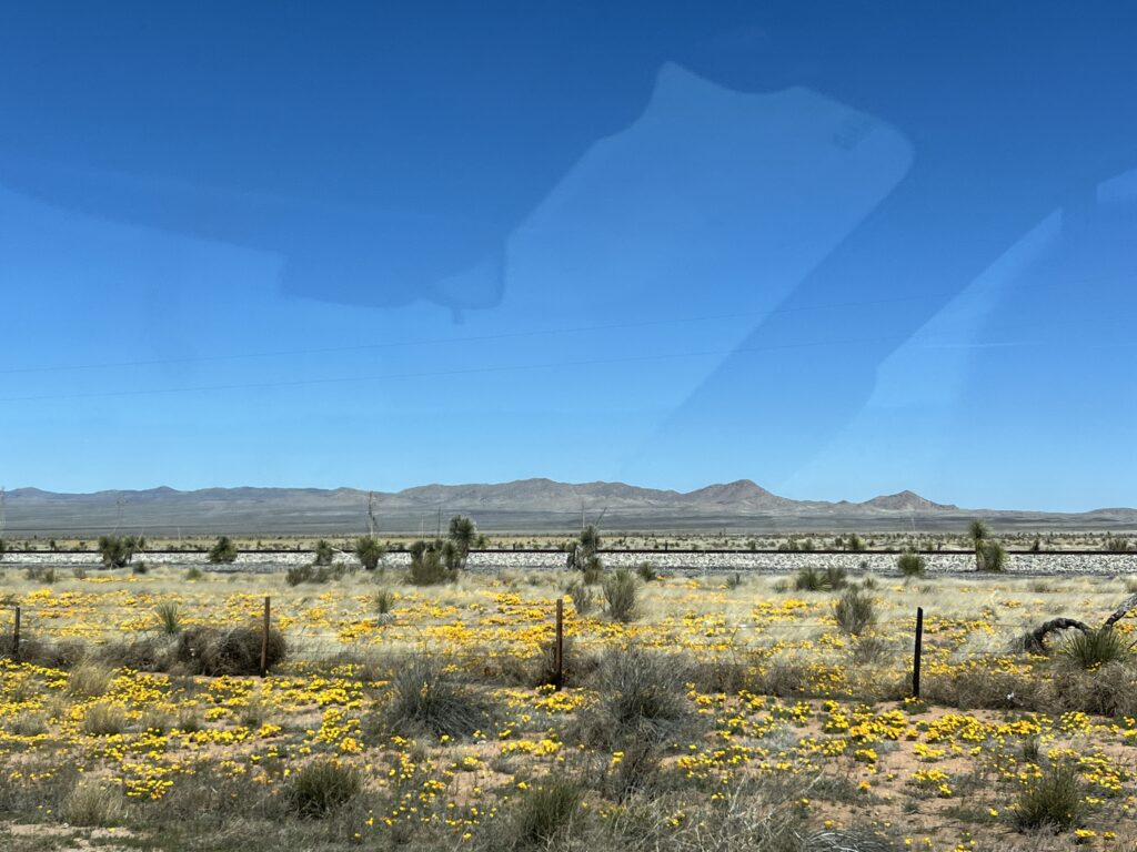
Breakfast and packing up was the typical routine and we were on the road shortly after 10:00am. We settled into the drive and were again marveling at the starkness of the desert along with the surprise of yellow poppies that grow in the verges along the highway.

Yellow poppies

We stopped in Deming, NM at the Walmart to reprovision as supplies were starting to run a little low.

Leaving Deming we returned to the I-10W where our windshield was struck by a small rock. Damn! A small chip now exists near the middle of the windshield. It does not spread the remainder of the day so will see what happens.

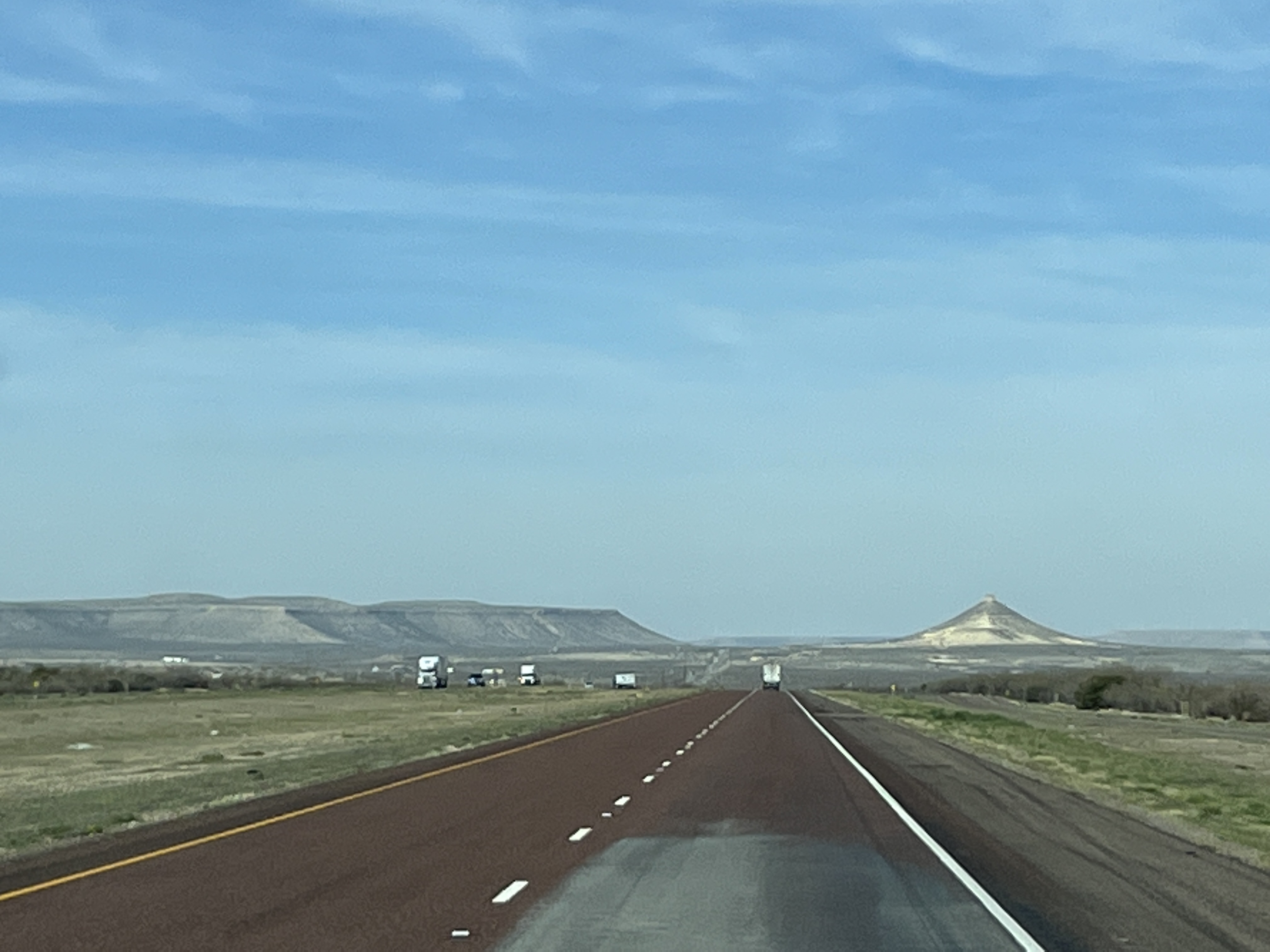
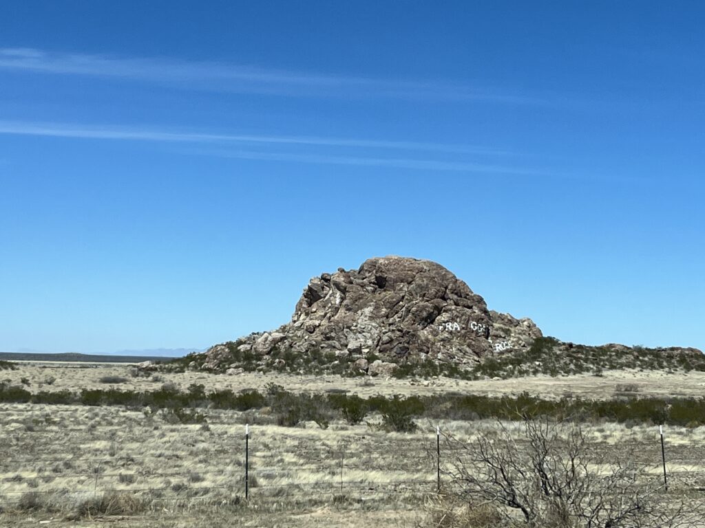
Further along the I-10W closer to the NM/AZ border we passed the continental divide and then ‘Fraggle Rock’. Some of you may recall the children’s TV show in the 1980s of the same name. The rock we saw today is simply a large pile of rocks with the name painted on the side facing the highway.

Fraggle rock

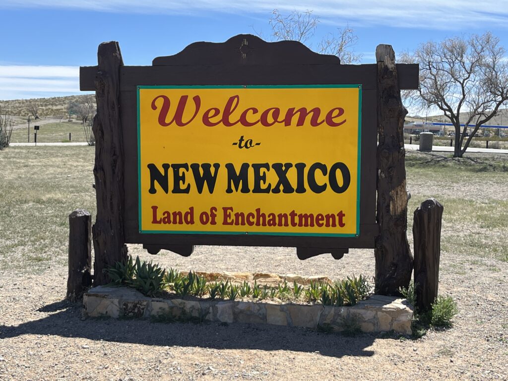
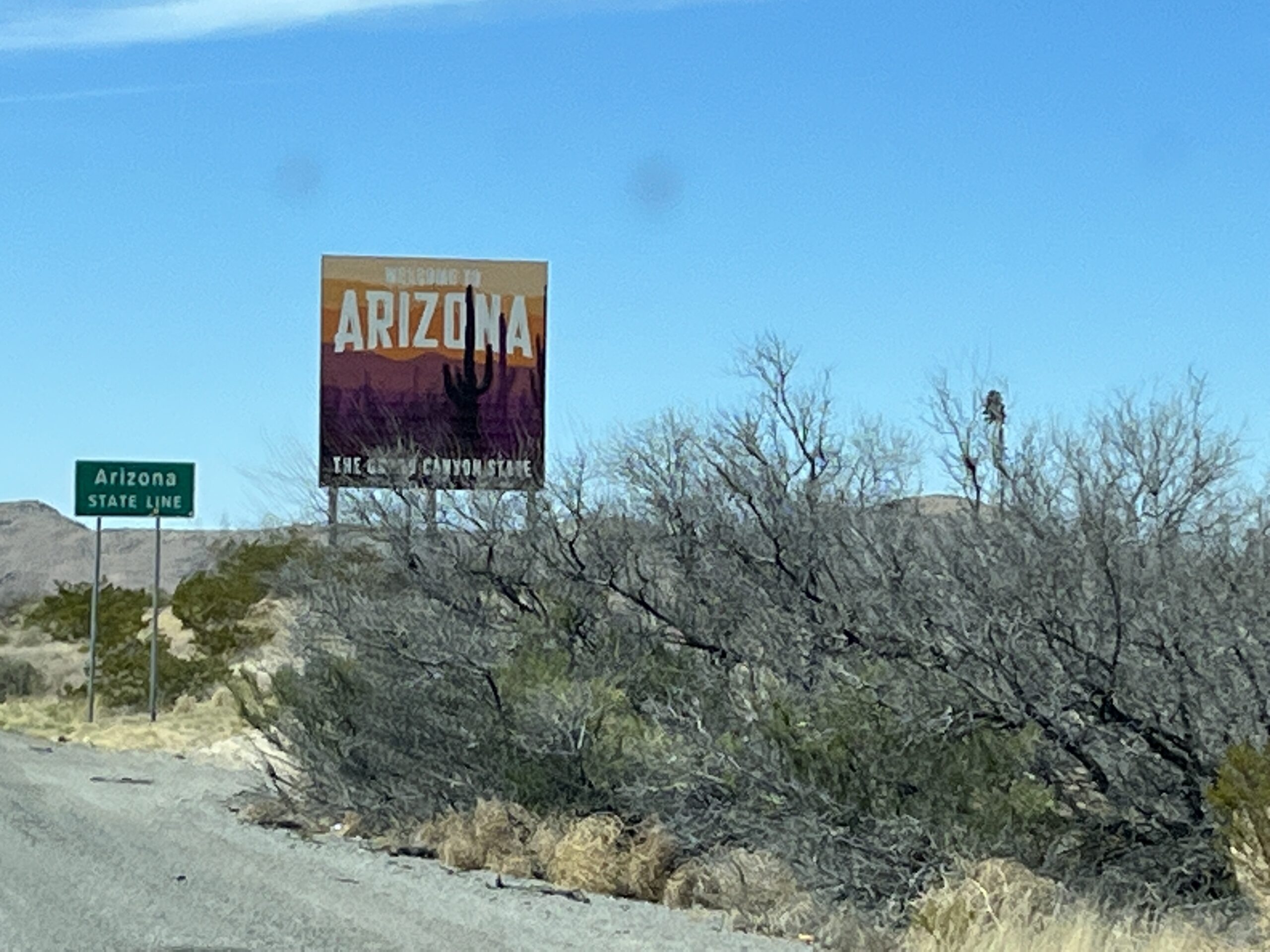
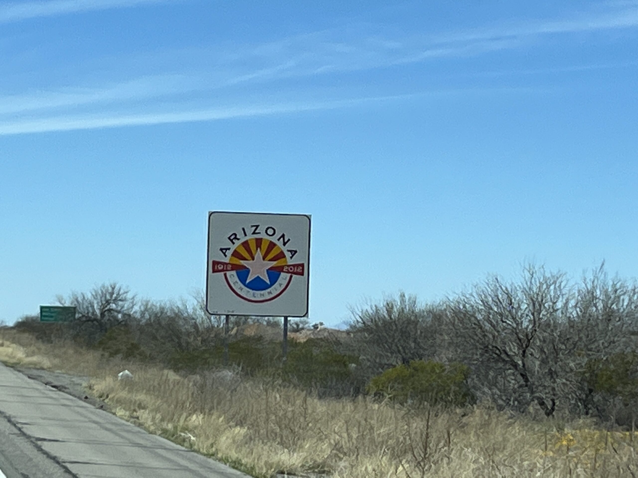
Shortly afterwards we arrived at the NM/AZ border and stopped to have lunch at a rest stop on the south side of the highway. It’s the NM visitor center so we took a picture of the ‘Welcome’ sign as we didn’t pass one when we entered NM a few days ago.

I know, we’re actually leaving the state, but…

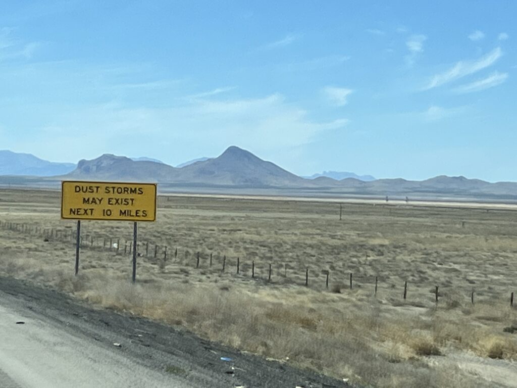
The far Western side of NM is prone to dust storms and strong winds. We came upon a couple of these strong gusts accompanied by tumbleweeds. Luckily we were able to avoid hitting any tumbleweeds.

In NM they have many large signs warning of dust storms, zero visibility and actions to take if caught in one. Entering AZ the signs changed to state that the area is prone to blowing dust. Meh.

Dust storm warnings

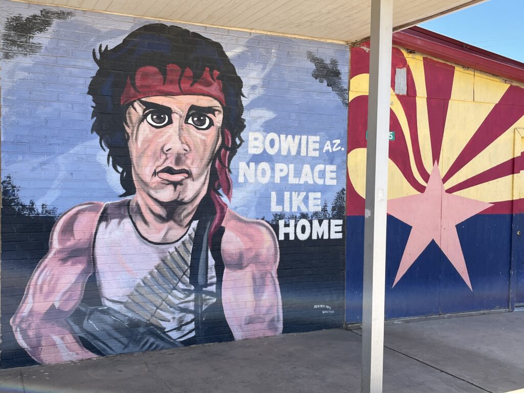
A little further along the highway we pulled off for fuel at the hometown of movie character John Rambo the much anticipated Bowie, AZ. There is a mural of Rambo at the gas station and a picture had to be taken so we are sharing below. There’s nothing else in Bowie that we could see, and I mean nothing.

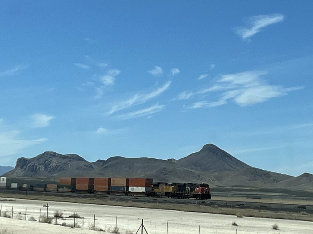
Besides the desert we were also accompanied all day by Union Pacific trains running on tracks that Paralleled the interstate.

One of many UP trains seen today

Our stopover tonight is the KOA in Willcox, AZ. as this will setup our touring tomorrow. All for today. Good night.

Day 19: Sand or Snow?

Sleep in the overflow camping area was easy. Peaceful. We were awake early and enjoyed muffins and coffee to start the day. I walked about the campground again and marveled at how rugged the landscape is and the type of person it would have taken to settle on it over 150years ago.

Good morning sunshine.

Packed up, off the site and tanks dumped by shortly after 10:00am. Seems to be our preferred departure time. We headed to the gas station and filled up the van for what today will be a fairly short drive.

Our first and only stop of the day would be at the White Sands National Park. It was only about 30 minutes from Alamogordo and we soon arrived. $25 entrance fee (yikes!) and one road into the sand dunes. It was paved about 2/3s of the way and then we were driving on hard packed sand. We drove back to the primary area where folks seem to go and hike about and found a mostly empty parking area.

The dunes are pure white sand, almost appearing to be snow or table salt. It is actually gypsum crystals that have formed from the repeated submerging of the land in sea water and evaporation of that water millions of years ago. The dunes are about 30ft tall and we were free to climb and walk about on them.

A common pastime is to bring a toboggan or sled and use the dunes like they are snow. Many people were sliding and taking pictures of themselves frolicking in the sand. Not us. First, we have no sled and 2nd we’ve sledded on real snow. Instead, we took off our sandals and climbed the dunes only to find the sand cold. Yep, the sun was blazing and unlike any beach we had walked on the sand was cold to the touch. We took some pictures and looked about and then returned to the van as the sun was blinding.

Fun with panorama pictures

In fairness people are advised to cover up, apply sunscreen, where dark glasses and drink lots of water. We did not cover up or apply sunscreen but we both wore dark glasses and hats and drank lots of water (the air is really dry in New Mexico). The air temperature was only 17C but the sun was blazing and if we were to be out for more than the hour that we were, sunscreen would have been essential as there’s nowhere to hide.

We stopped briefly at the gift shop on the way out to pick up a pin for in our van and then we were on our way to Las Cruces, NM where we have a spot reserved at the KOA for the night.

White Sands souvenirs.

However, before arriving at our destination we had to cross a mountain range. The highway was really good (albeit an almost dead straight road most of the way) and had a slow lane for the trucks and us on the ascent. The descent went rather quickly and before we knew it we had arrived into Las Cruces.

Our plan was to stop at a Mexican restaurant recommended to us for lunch before going to the park for the night. It being a Sunday and the restaurant being in a historic area with very narrow streets and no parking my stress level went way up as I tried to simply navigate the streets and not hit anything low or higher up like a tree. Not finding an obvious place to park a rig the size of our van in such an environment we drove onwards to the KOA and settled in for the night. It’s a really nice park and our site has split rail fencing and a patch of grass and 2 trees! Maybe we can find a nice place to enjoy lunch tomorrow.

Nice campsite for the night.

Until then, good night!

Day 18: To the clouds

Good news, we awoke in the same place we parked last evening. The winds dropped fairly quickly last night and it was peaceful on the range.

We departed before 10:00am and headed towards Carlsbad, NM. First a quick stop in Whites City to take a couple of pictures.

Carlsbad is a fairly large town with all of the associated amenities should you need them. We stopped for gas and moved on.

Heading North on SR-285, we drive to Artesia and came across several orchards of Pecan trees. We turned West onto SR-82 and drove through the nicely decorated town center. Heading out of town we were buzzed by student pilots practicing touch-and-go circuits at the local airport.

Pecan trees, Artesia, NM

Continuing West we entered ranch land. Lots of cattle ranches with large gates with names above them along with their branding symbol. Slowly at first and then more noticeably, the land climbed into the foothills of the Sacramento Mountains and onto the Lincoln National Forest. The grasslands became conifer forests as the road climbed to 8,676ft as we entered Cloudcroft, a small town clearly a year-round outdoor destination that had a small but quaint downtown, food trucks and BBQ joints. The ski hill was closed for the season but there were still a few remnants of snow from this past Winter to be seen.

We stopped and picked up pastries from a small bakery and tacos from a well reviewed food truck.

The road from here was all downhill, literally. 6% grades for several miles westward has us taking it easy on the brakes and letting the transmission do its job of managing the speed. We stopped halfway down at a rest stop to eat our Mexican lunch (delicious) and take a few photos before completing the 6% descent into Almagordo, NM.

Our destination is the Oliver Lee Memorial State Park just South of town. No reservation but they tend to have some ‘walk-in’ sites available. We arrived at about 2:30pm and all of the walk-in sites had been taken and all reservation sites were booked for the night.

We were contemplating our next steps when the park host came by and told us that he had room for one rig in the ‘overflow’ area. We took it. No services where we are camping but we have access to the comfort station should we need it and can dump our tanks before leaving. Good for one night!

Overflow camping, Oliver Lee Memorial State Park, NM
The end of another beautiful day

Day 17: Carlsbad caverns, Whites City, NM

Good morning. We woke at 8:00am to the wind still blowing and a forecast of very strong winds this afternoon. The night was quiet (putting aside the aforementioned wind). No coyotes or other critters about.

Today we are visiting the Carlsbad Caverns, a well known large cave system in the Guadeloupe mountain range of New Mexico. We have entrance tickets for 12:30pm and so take the morning easy relaxing in the van (to windy and sandy to sit outside comfortably).

We arrived at the Carlsbad cavern visitor center at 12:15pm and were allowed to start our self-guided tour immediately. We had heard that they were strict about observing entry times based on reservations so this was a nice surprise.

We chose to walk into the caverns using the natural entrance as opposed to taking an available elevator directly down the the ‘Big room’ so as to fully experience the caves.

The entrance is huge and is a good indicator of how large this cave system is. They have bat viewings at the entrance in the evenings when the bats swarm out of the caves into the sky to hunt for insects, we were not planning to stay quite that long.

The caves slowly get darker but there are plenty of low level lights that show you the way of the walkway.

The walk down the entrance cave is done on a paved walkway with stainless steel hand rails, there are only a few stairs in very steep sections. As per the signs at the entry, we had to walk down about 750’ (230m) or the equivalent of 75 stories (the height of the Empire State Building in New York).

In a nutshell, this is one big hole in the ground! It took us about an hour to descend to the level of the ‘Big room’ which is the main spectacle of the cave system stretching many hundreds of feet in multiple directions and containing so many different stalactite and stalagmite formations all lit with accent lighting. The temperature in the caves was a little warmer than we expected at 12C and so the sweaters we wore were off before we completed the descent.

Navigation map when you arrive in the ‘Big room’

Our walk about the ‘Big room lasted about an hour before we chose to take the elevator back up to the visitor center which of course drops you off directly in the gift shop. We purchased a couple of pins for our collection before departing.

Elevator information

In all we were in the caves for a little over 2 hours and really enjoyed the experience. The walk down is not hard but your knees and legs do get quite a workout. You do not need to be Uberfit to complete the walk, but you will want to take advantage of the seating provided along the walkway to rest, hydrate and enjoy the various views.

Not our van, but a serious German adventurer

We drive back to the BLM land on which we camped last night and managed to snag the same site.

The winds had risen significantly while we were underground with wind gusts now at 64km/h. These are supposed to drop steadily overnight, so hopefully we will awake in the same place we parked.

Look at that Wind!

All the best everyone.

Day 16: from wineries to refineries

The wind let up around midnight and the cool air arrived bringing with it a heavy morning dew and fog down in the valley. We slept in. We ate a simple breakfast. We organized the van for a day of travel. We vacated the overlook parking area at 10:00am.

Good morning
Looking back up the valley to where we stayed
Remains of Fort Lancaster, TX

We headed West down the SR-290 towards Sheffield, TX. Stopping briefly at the Fort Lancaster visitor center to take a photo of the fort ruins. Sheffield is a depressing, small town that time appears to have forgotten about around the time the I-10 bypassed the community.

Returning to the I-10W we continued toward Fort Stockton, TX where we stopped at the visitor center. The town mascot is a large Roadrunner statue that stands across the road from the visitor center. The visitor center itself is in a renovated train station that stands beside a SantaFe rail line that ran into Mexico. It’s no longer used.

We tried to procure a coffee at the local McDonalds but it was being overrun by teenagers when we arrived and so we chose to move on.

Leaving Fort Stockton our route turned NorthWest on SR-285 towards Pecos. We were entering Texas oil country. Everywhere we looked there are oil pumps, storage tanks, pumping stations and refineries. The oddest sight to us were the workers camps setup along the side of the highway that consisted of rows of RV shelters and temporary housing structures. The road was undergoing a major reconstruction and as such there were many reduced speed zones.

Arriving in Pecos, TX we stopped at the Pecos Museum where we parked in the RV parking area and made lunch in the van. Afterwards we walked about and took some photos around the museum.

The SR-285 North of Pecos was also under construction right to the New Mexico border, which, because of construction was marked by a bump in the road. No “Welcome to New Mexico” sign. Construction continued into NM however, reduced speed limits of 45mph instead of the Texan reduced speed limits of 65mph meant much slower progress was made. Eventually we turned from the SR-285 cross country towards Whites City.

We are trying for the first time camping on BLM (Bureau of Land Management) land. This is US Gov’t owned land and is open for public use. Camping is considered ‘off-grid’ as there are no amenities or even paved roads. Site selection is on a first come first served basis. We have chosen a spot about 500yds away from the highway on a dirt track in the middle of the desert. It is windy, but peaceful. Yes, there is some limited cell phone coverage. We plan on staying here for a couple of days.

Take care everyone.