Category: Travel

Travel-related content

  • Day 35: Angels Peak

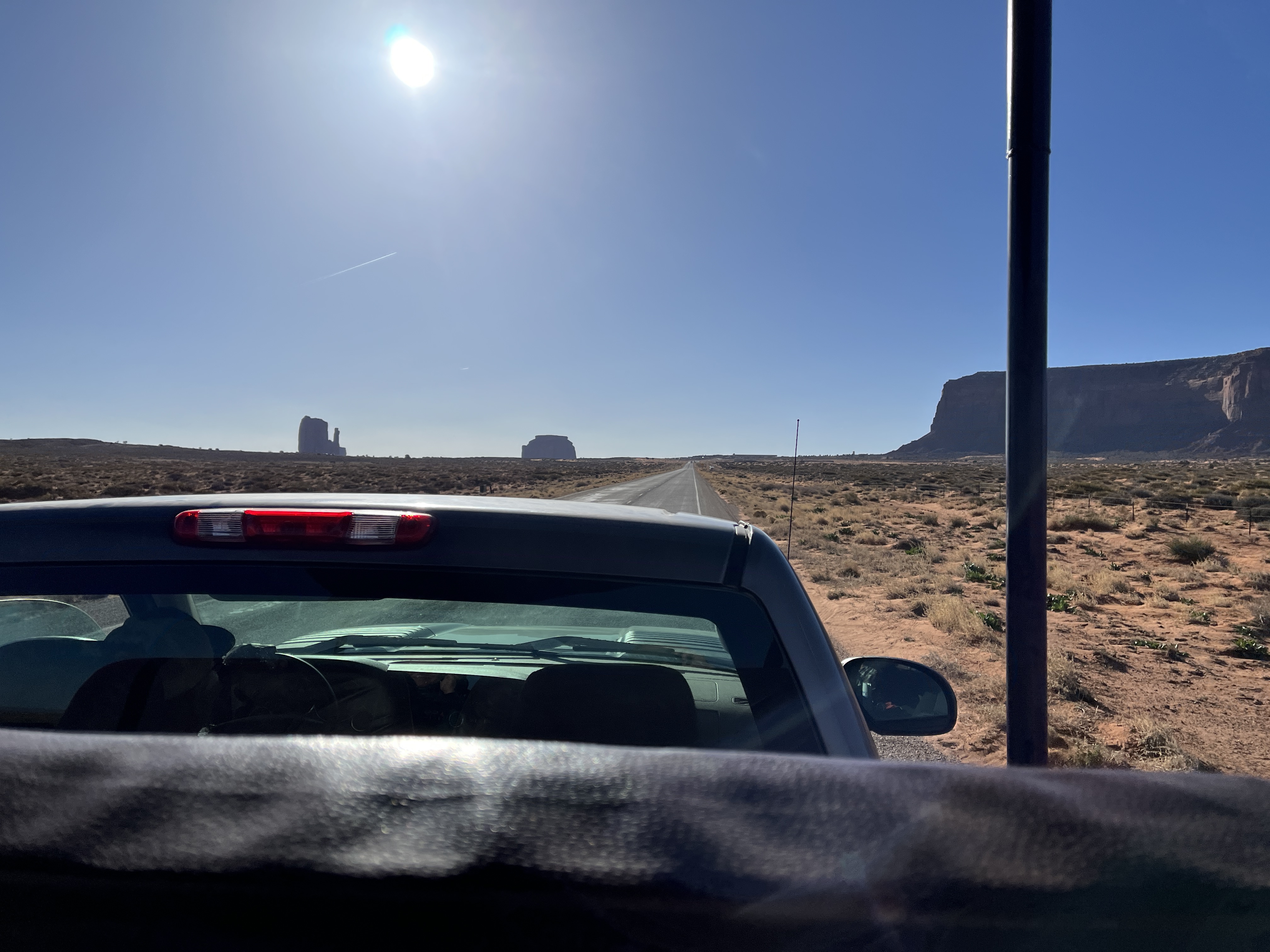
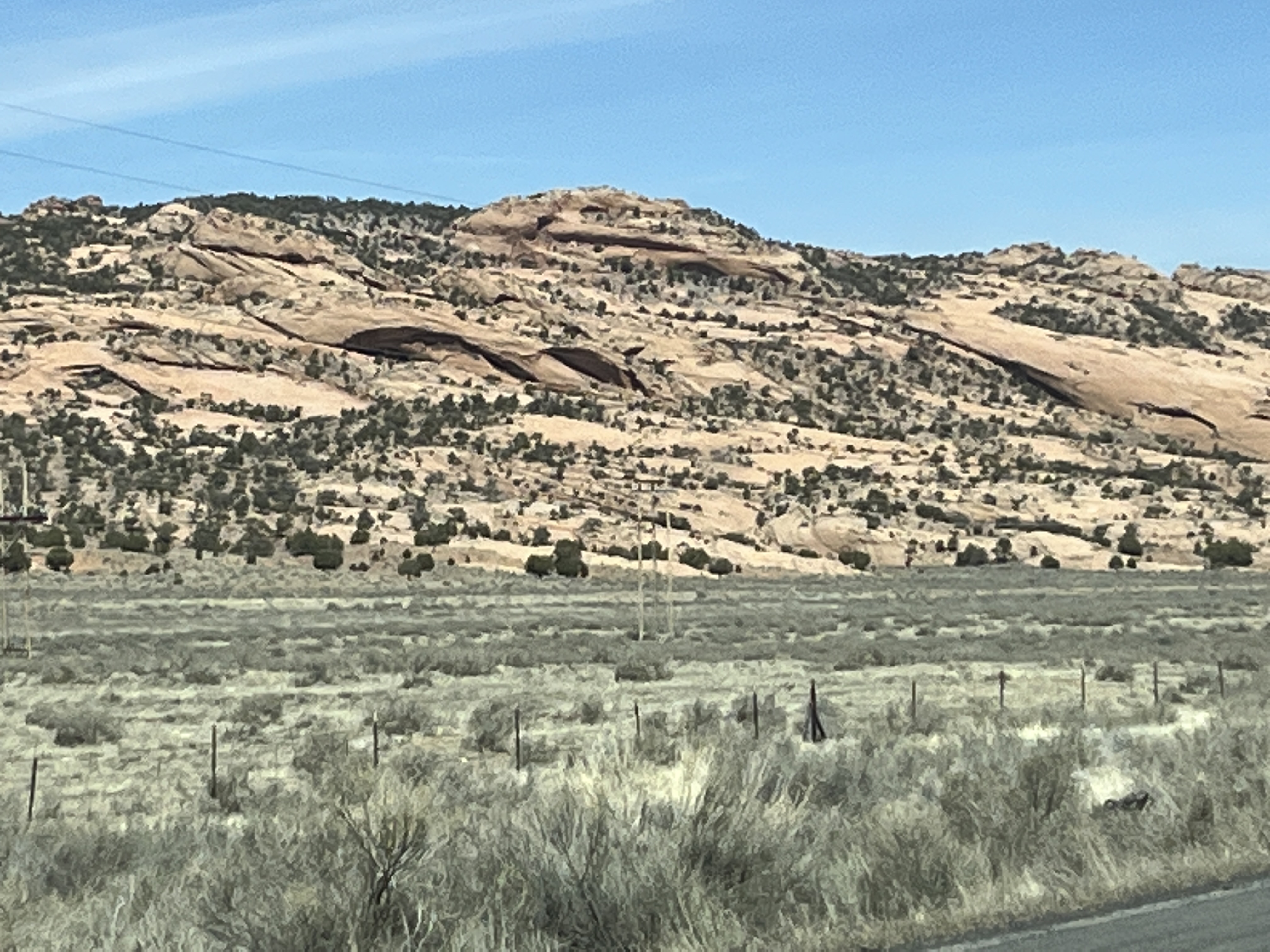
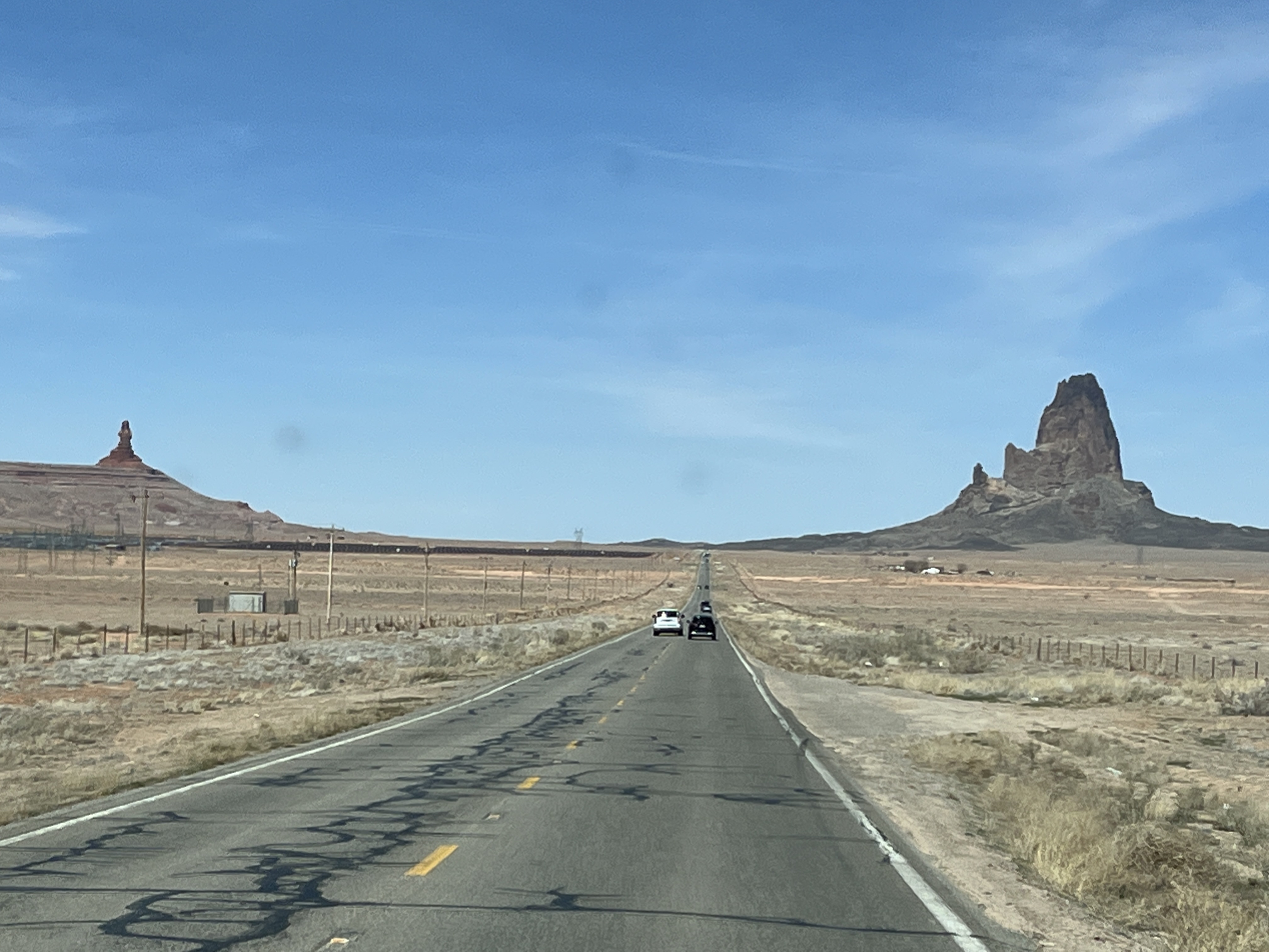
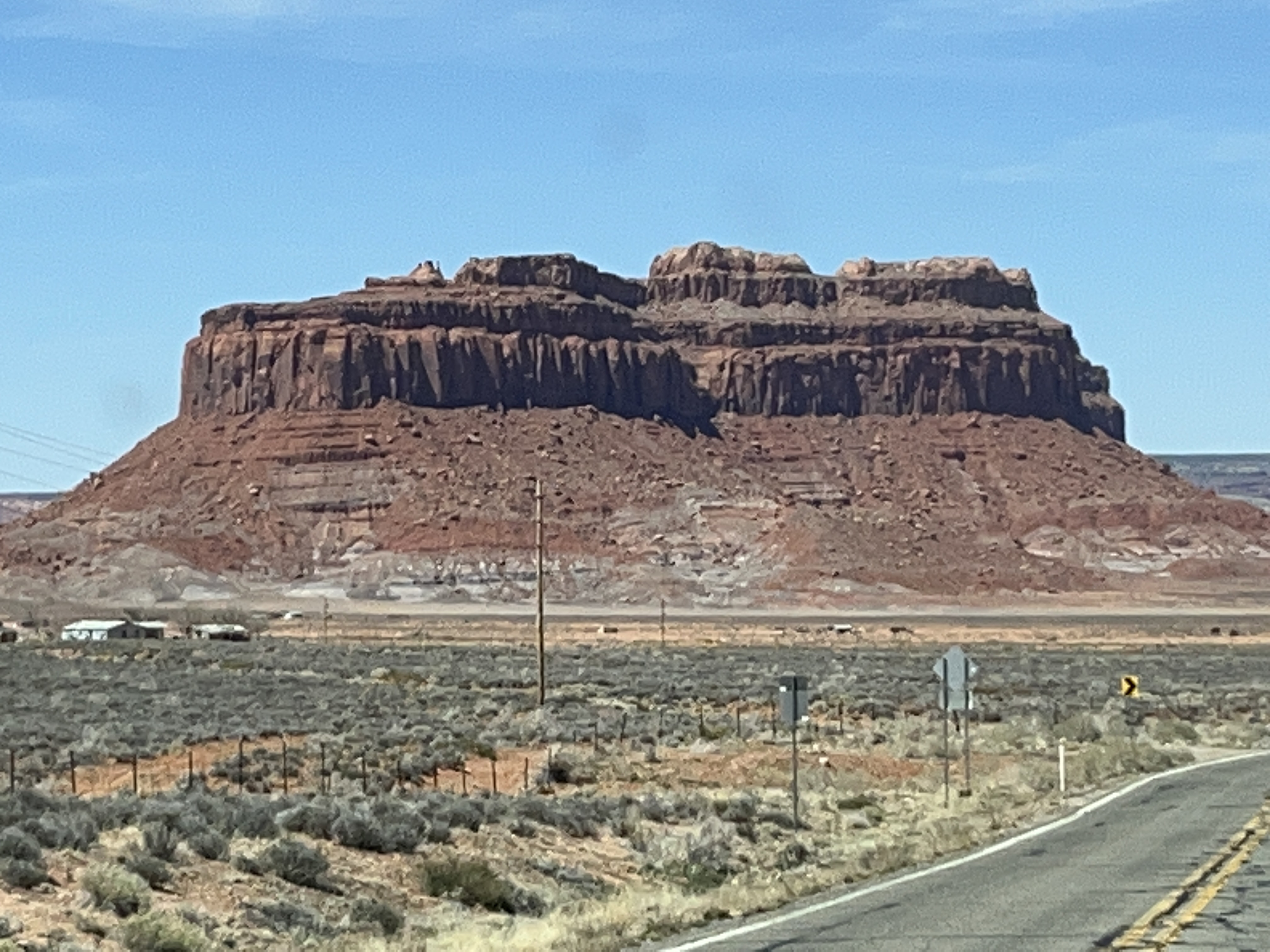
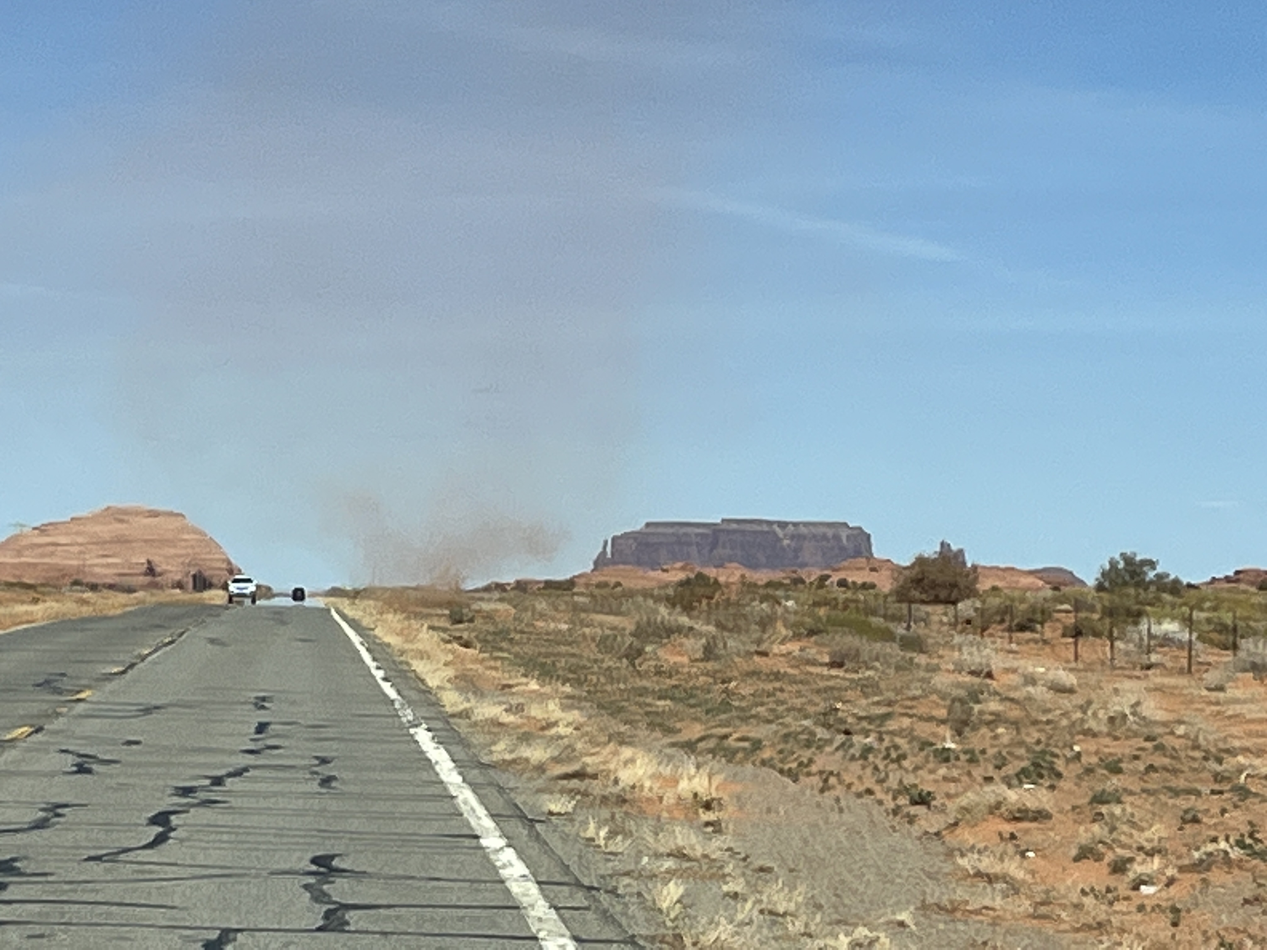
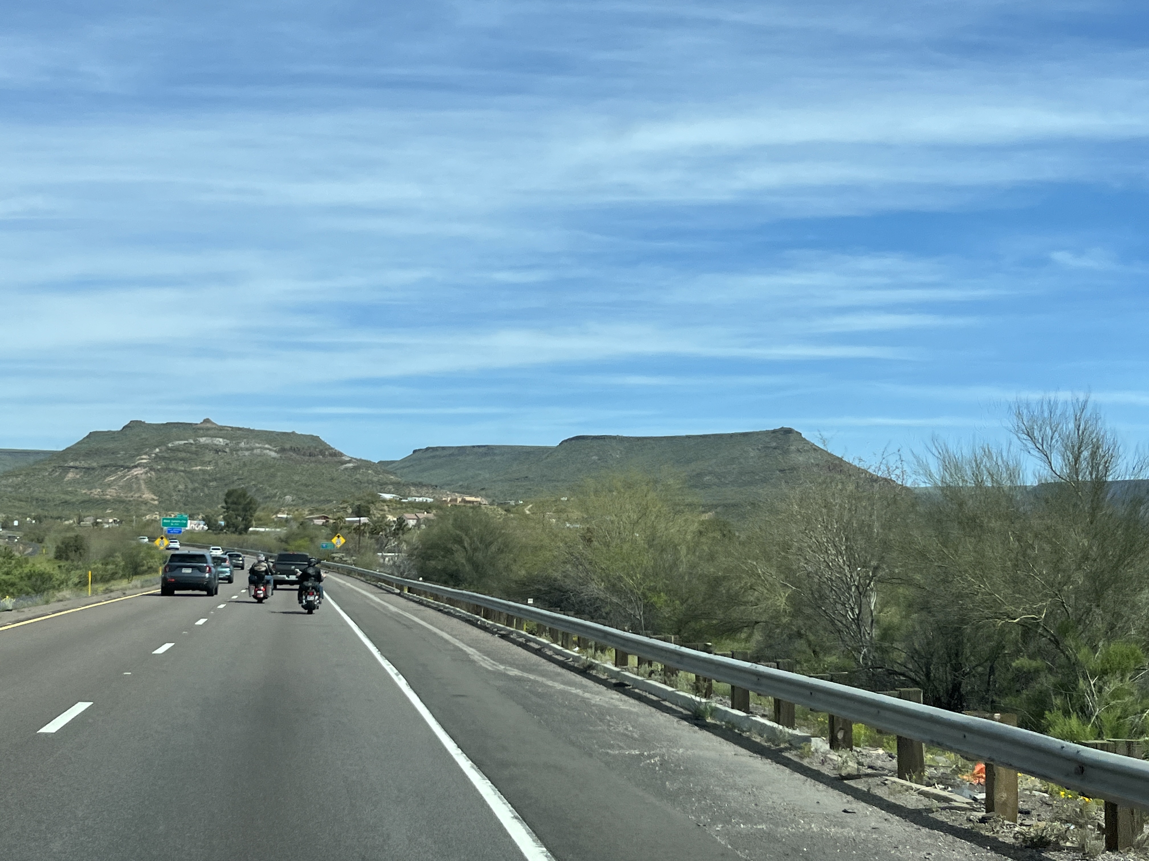
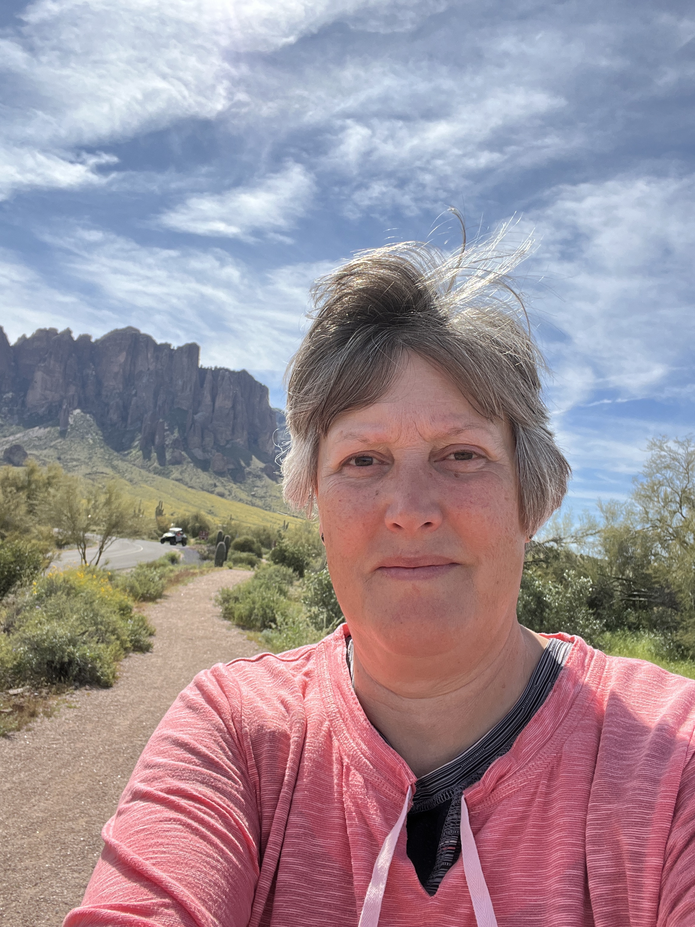
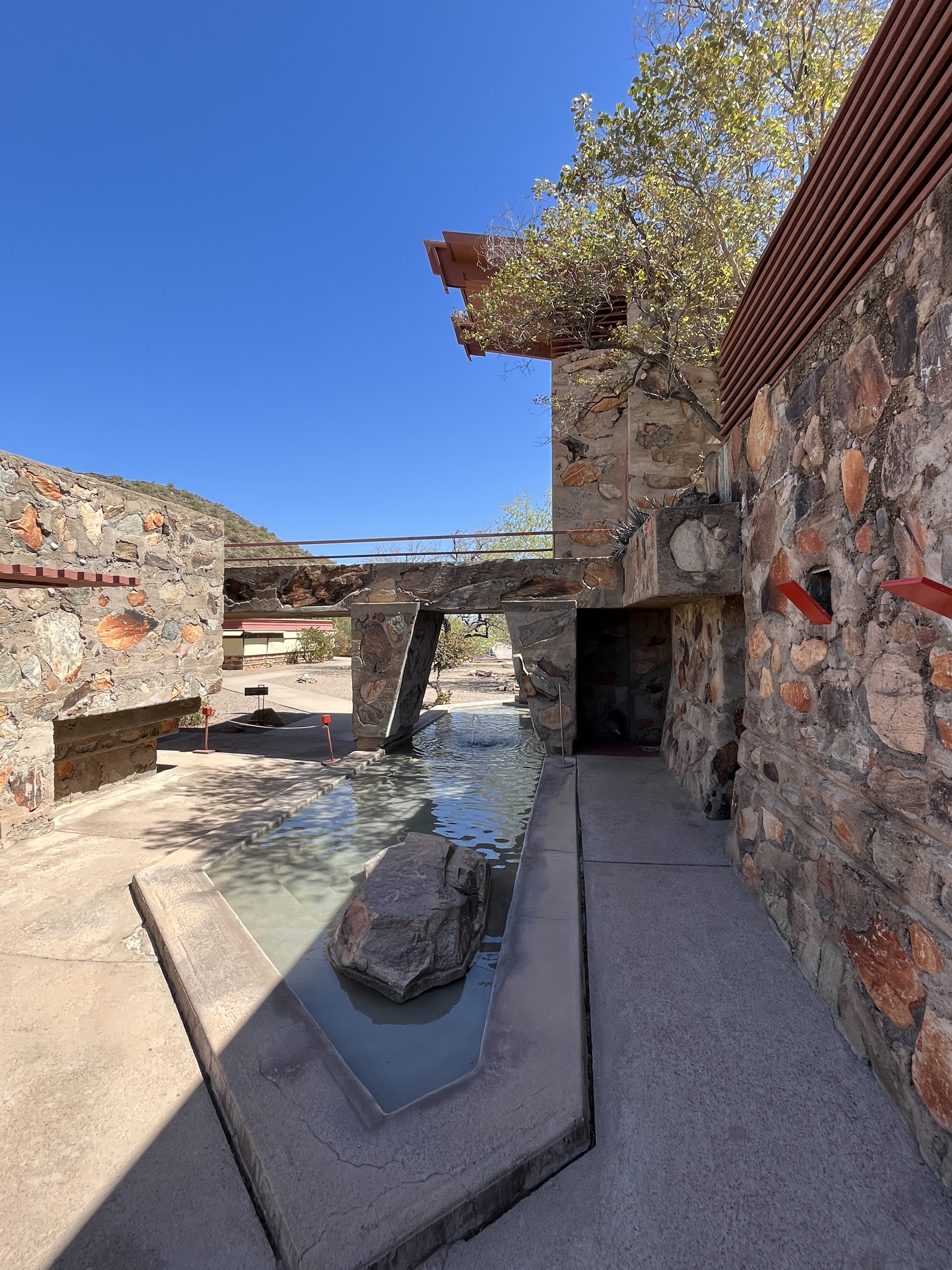
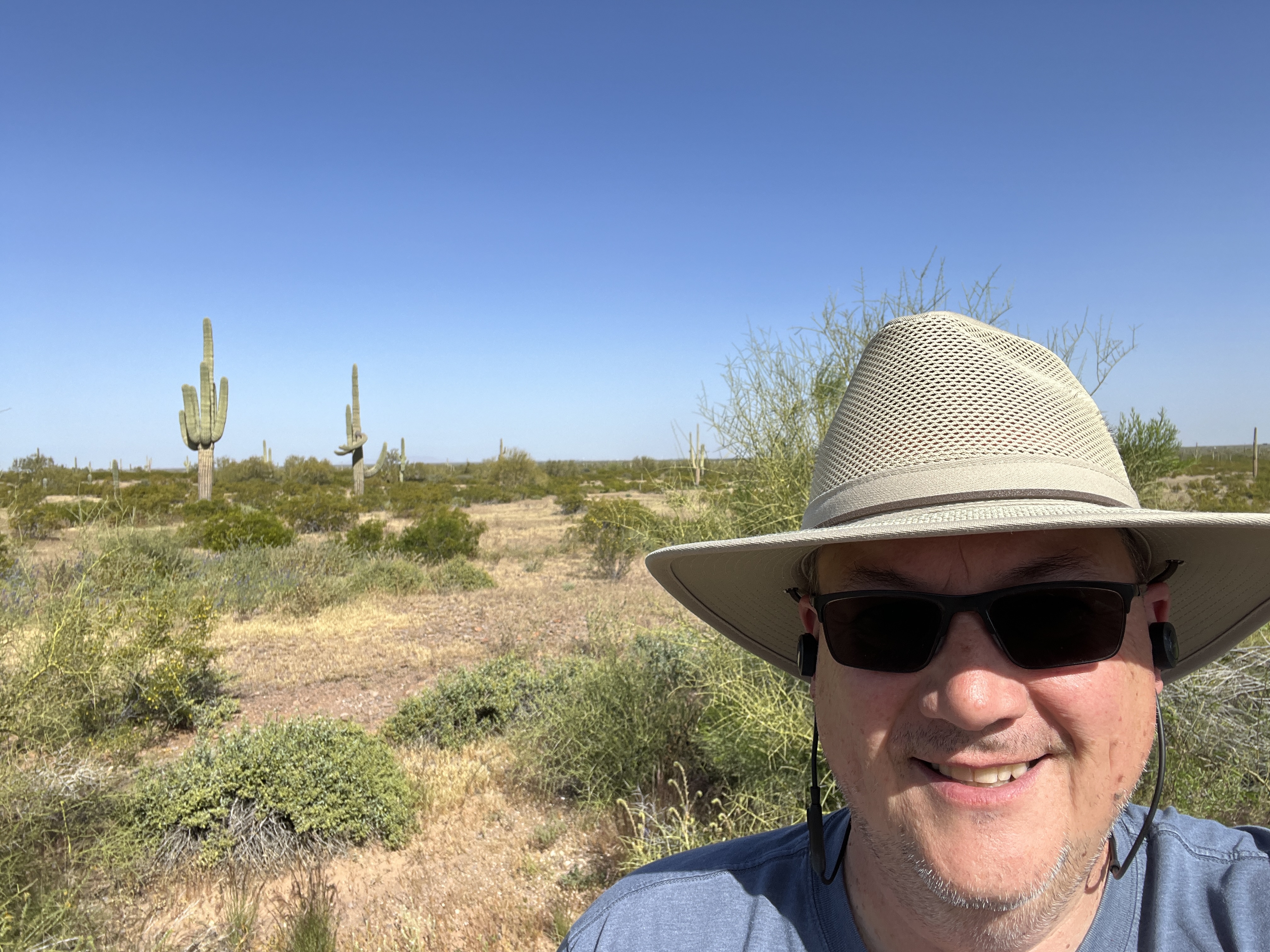
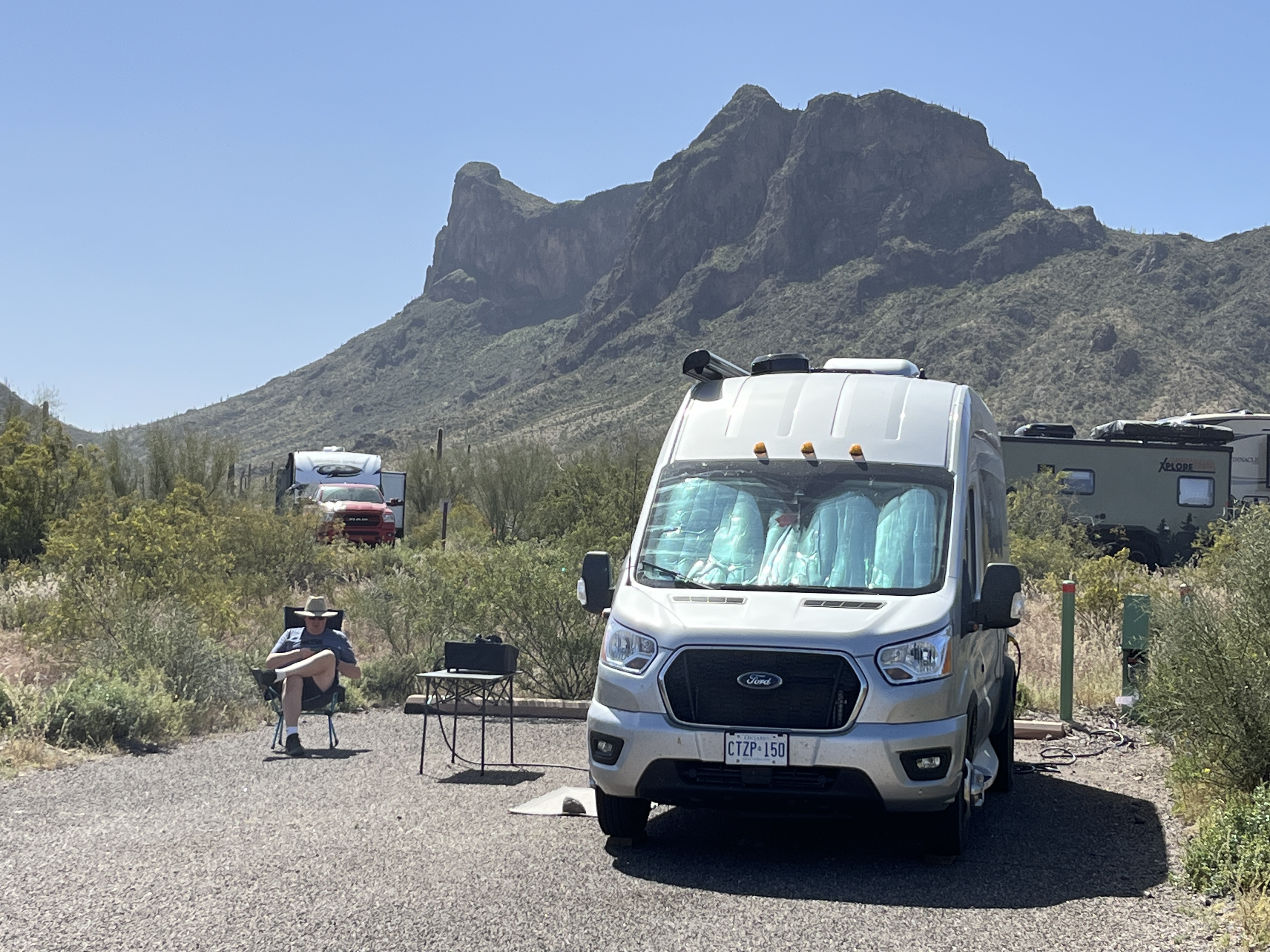
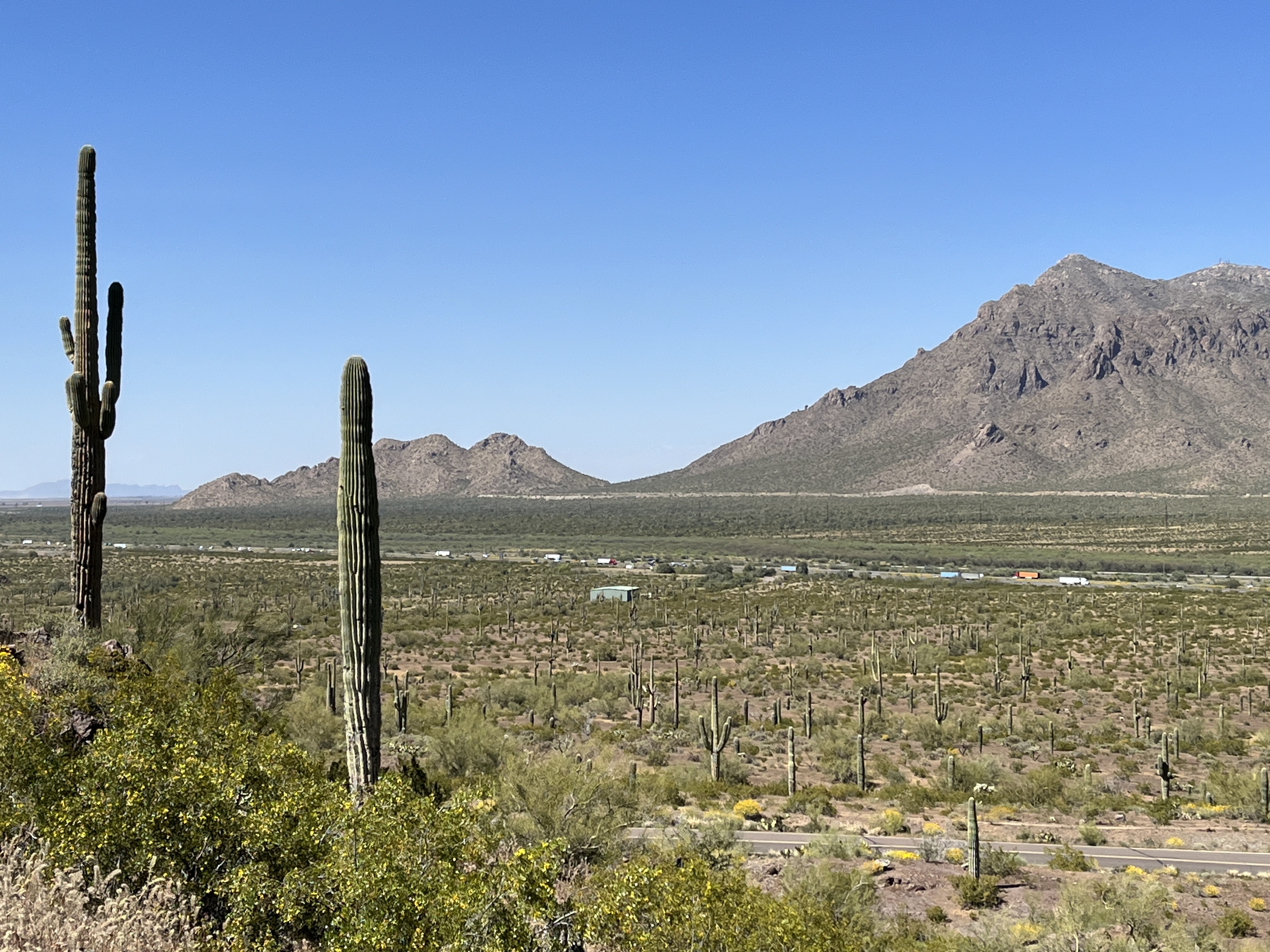
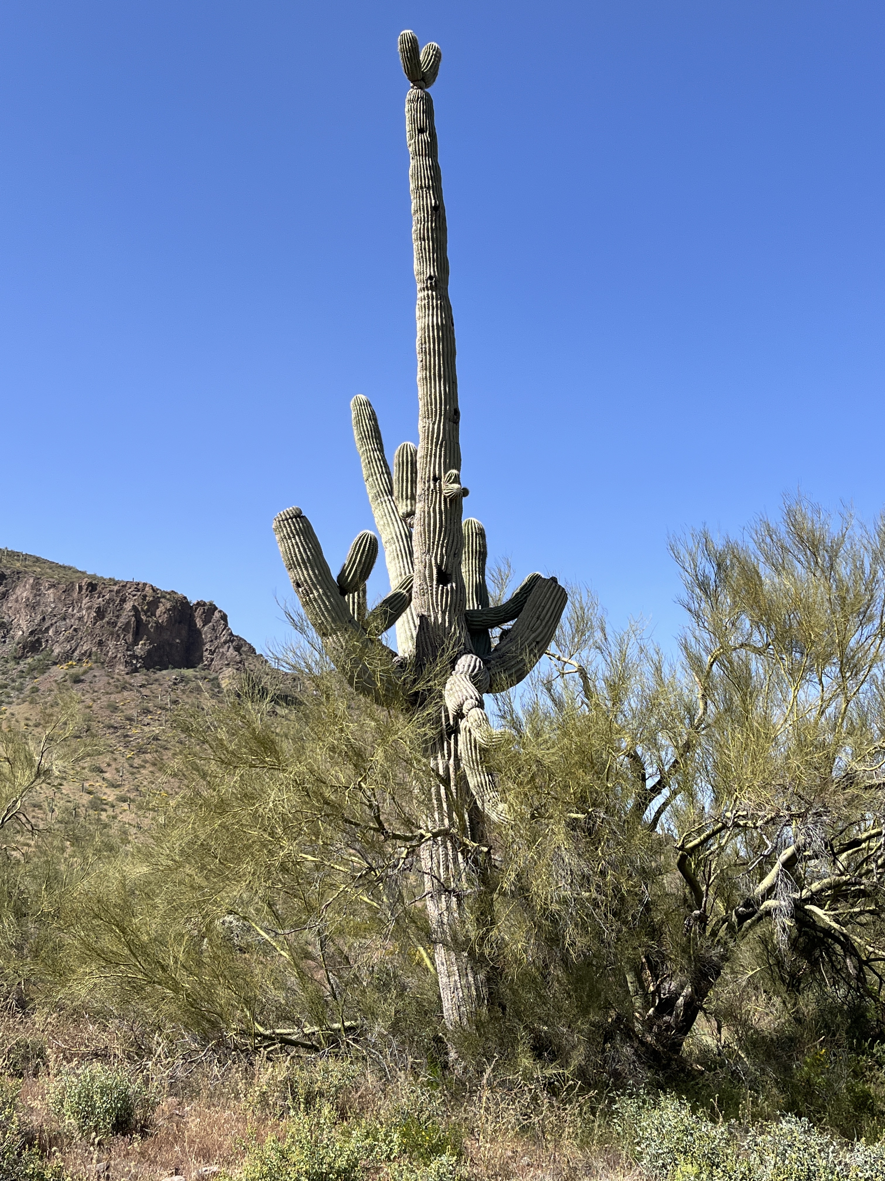
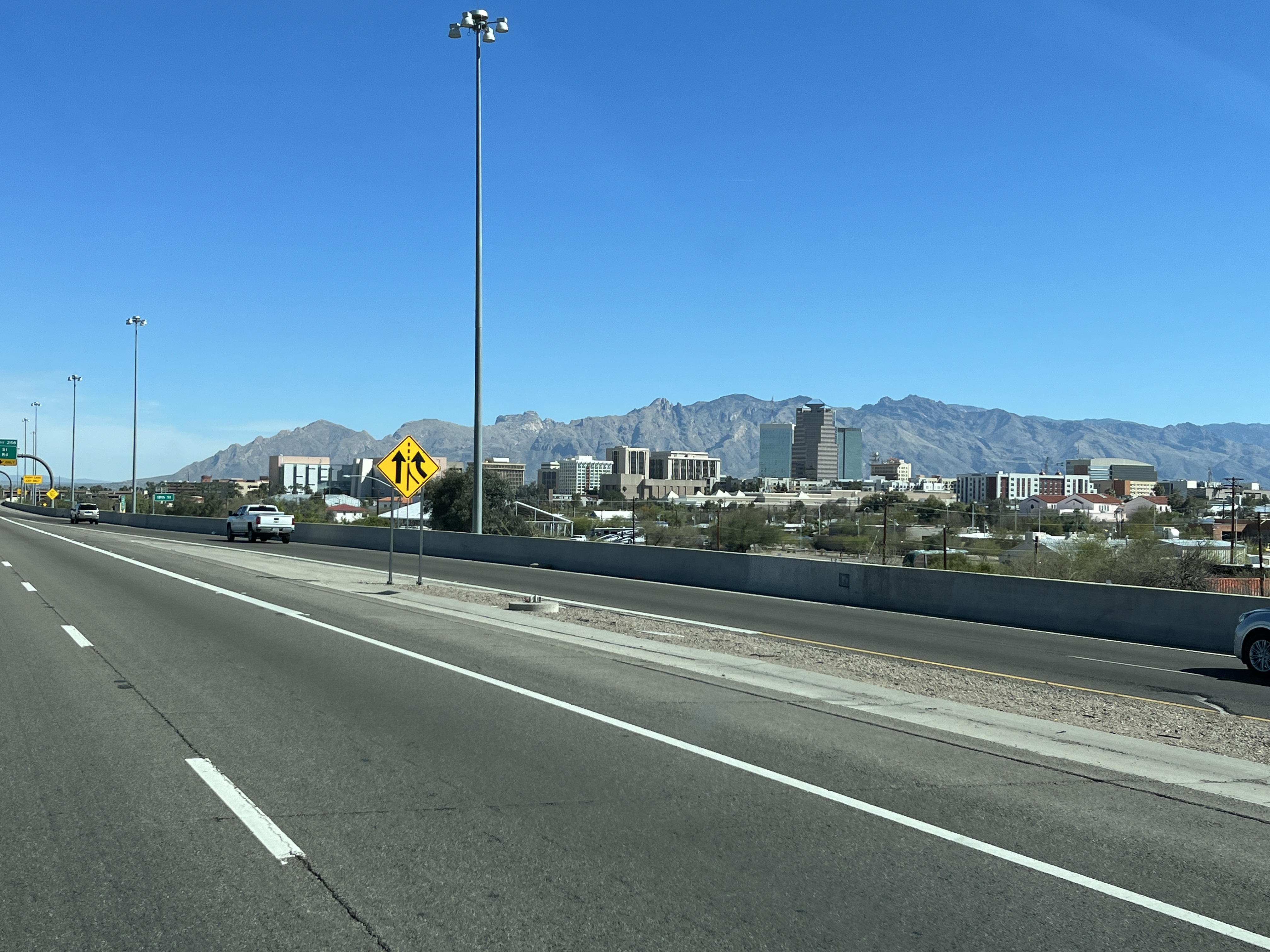
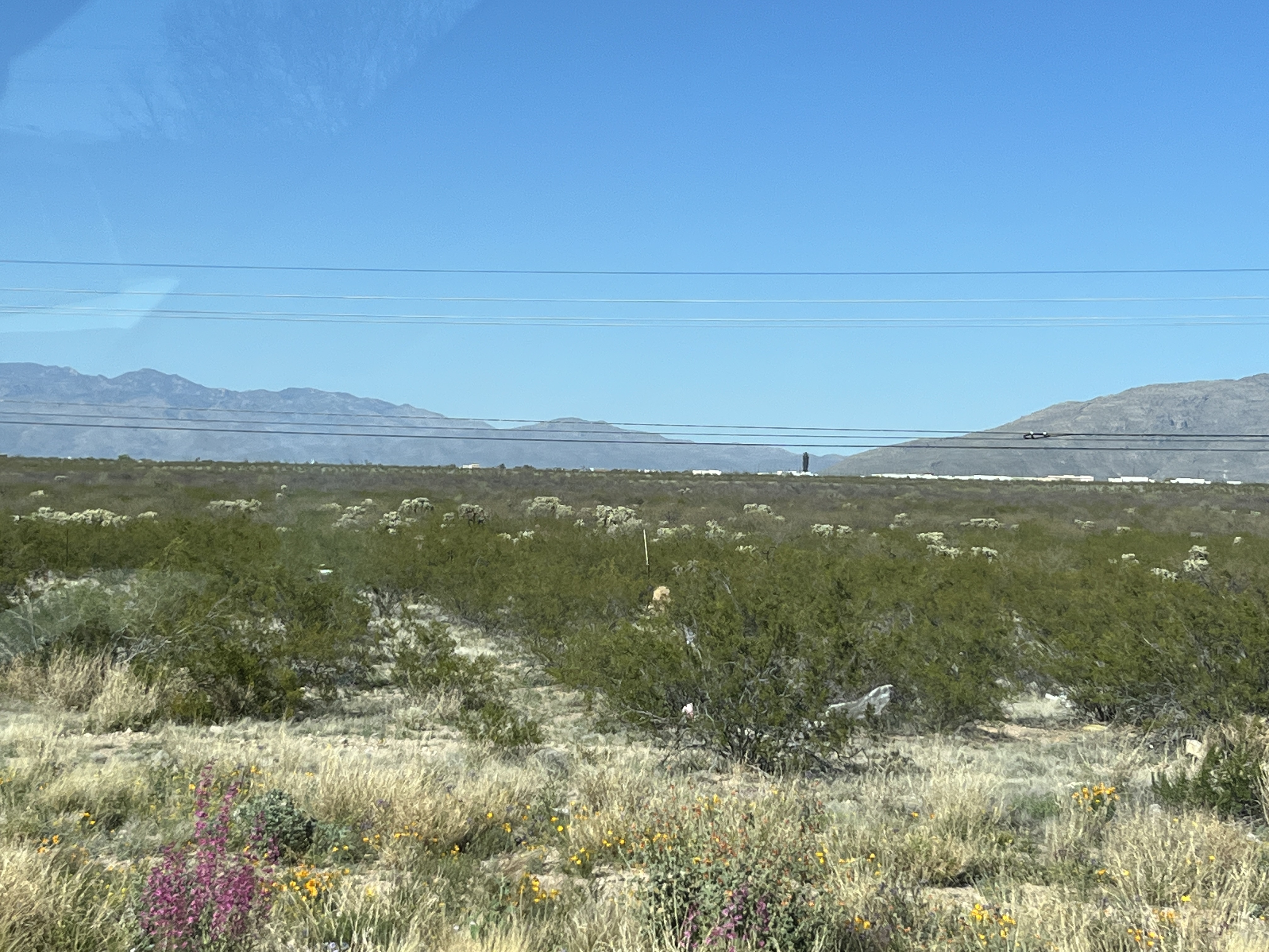
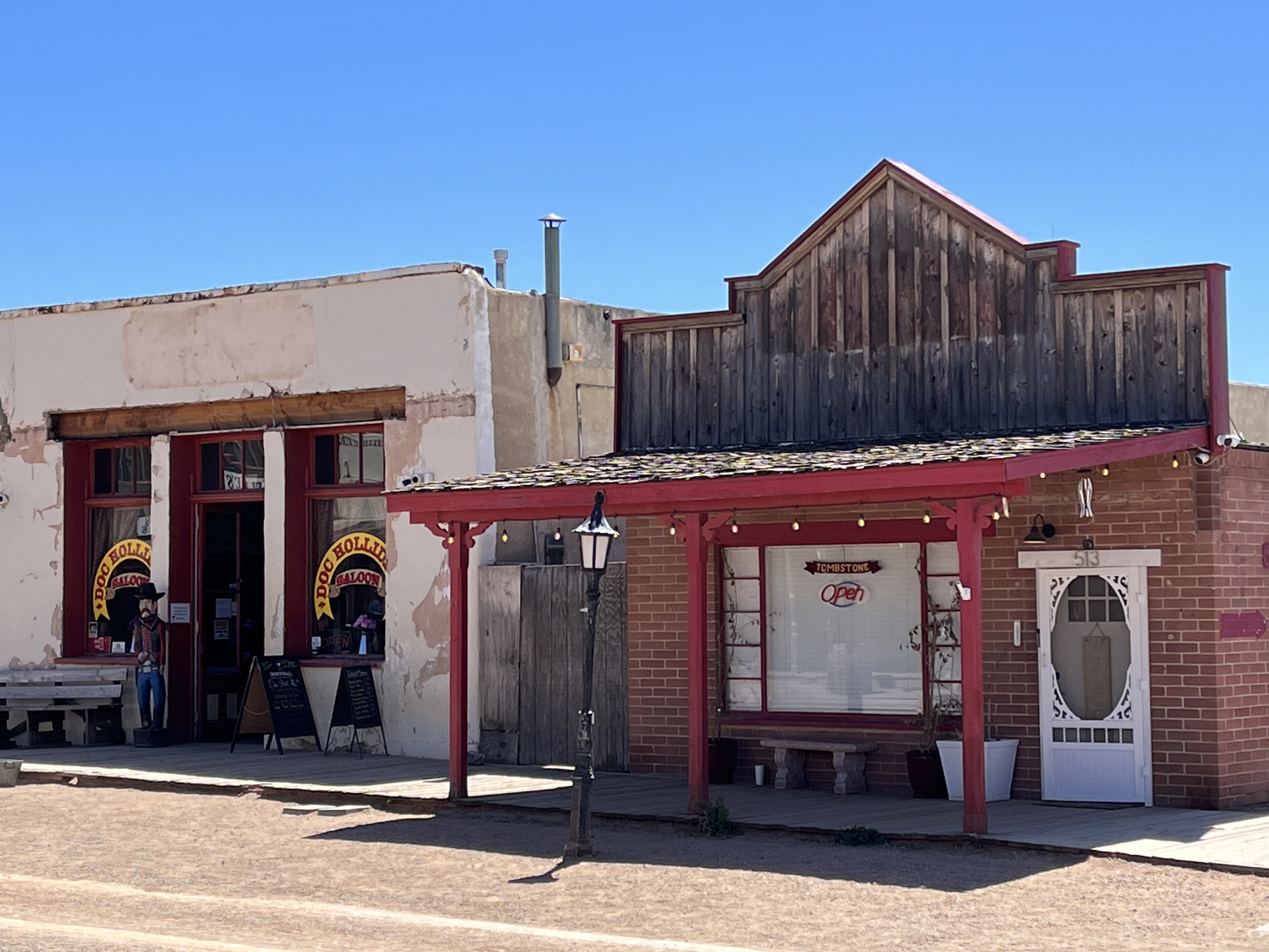
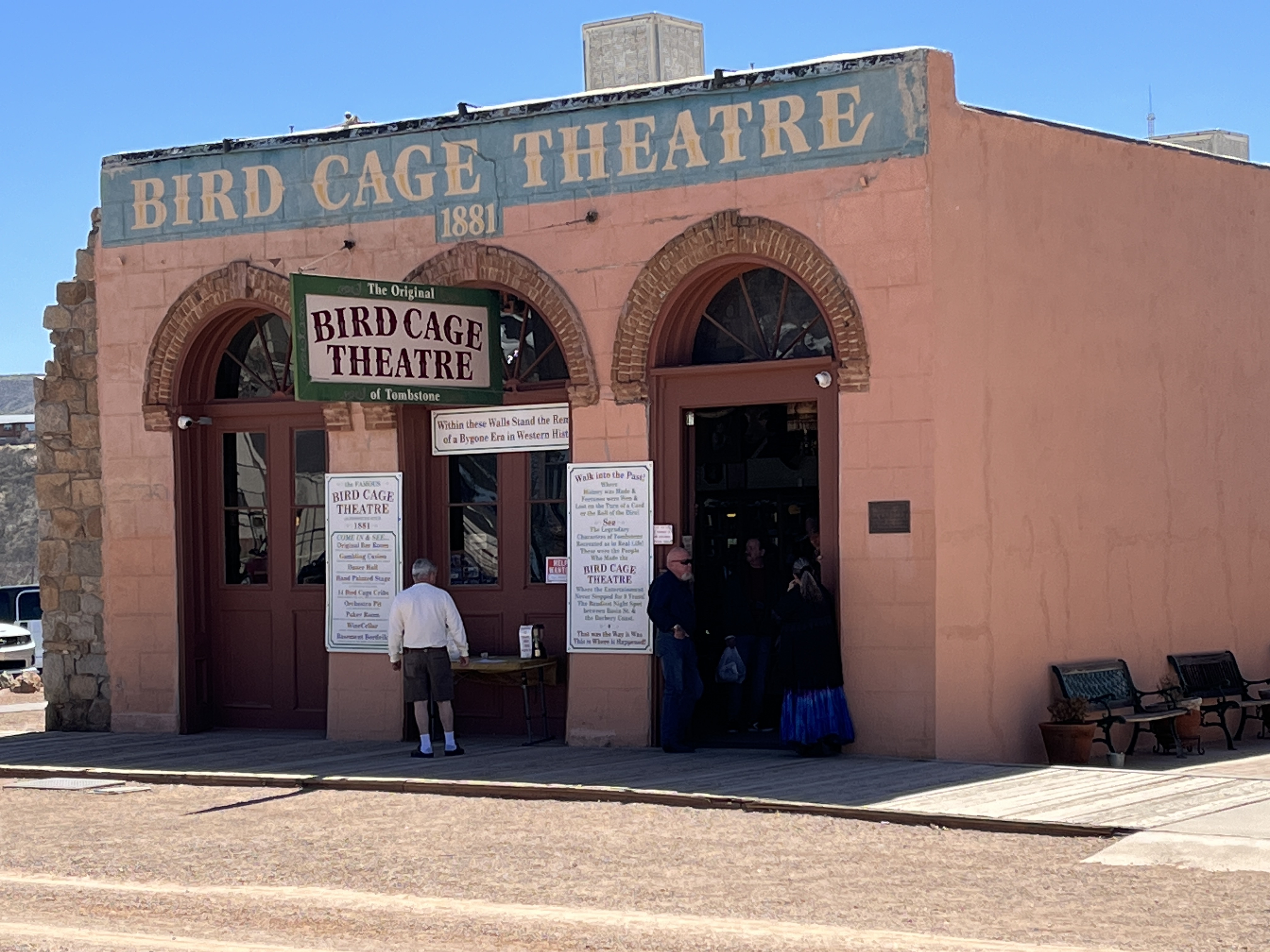
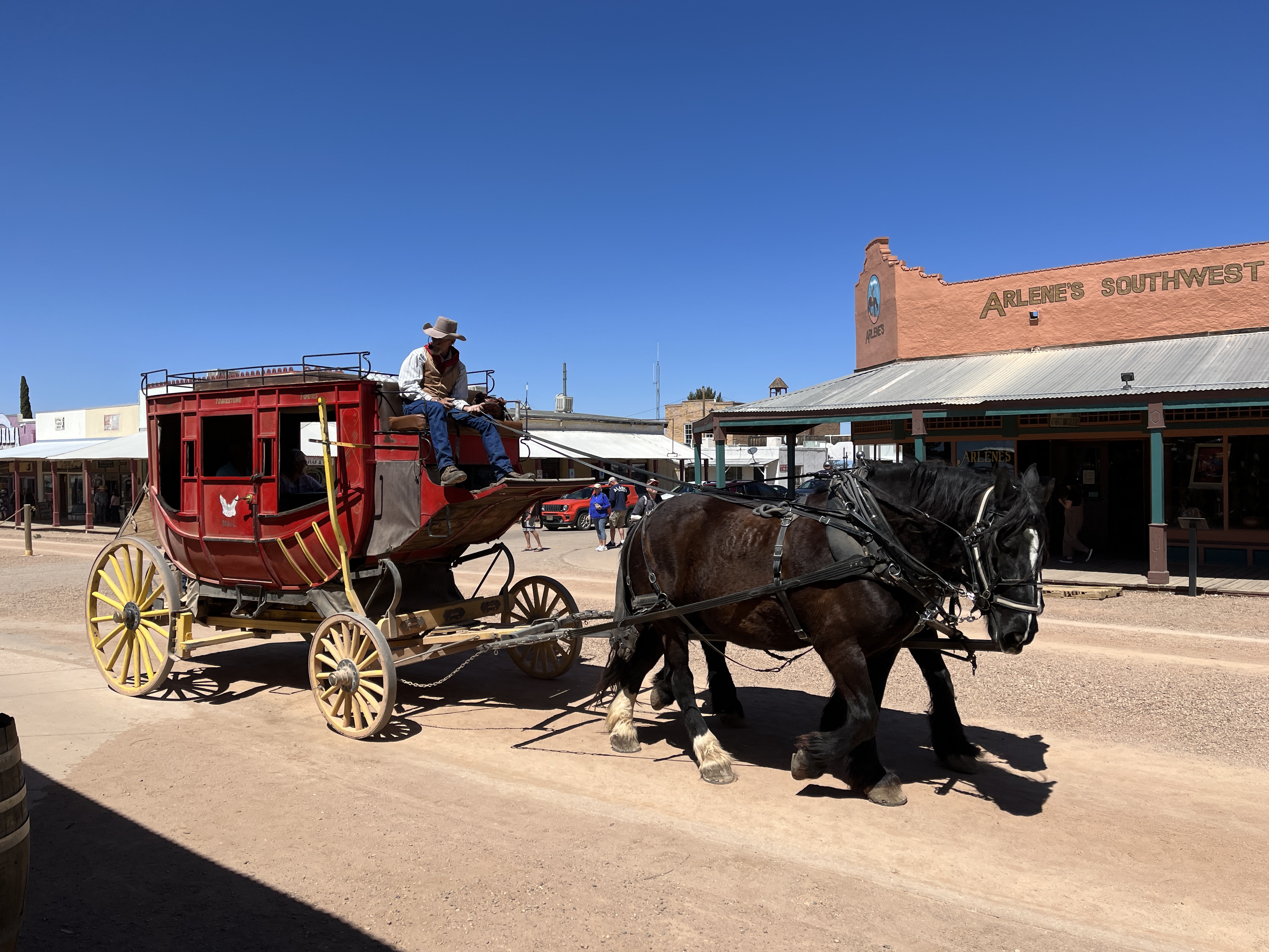
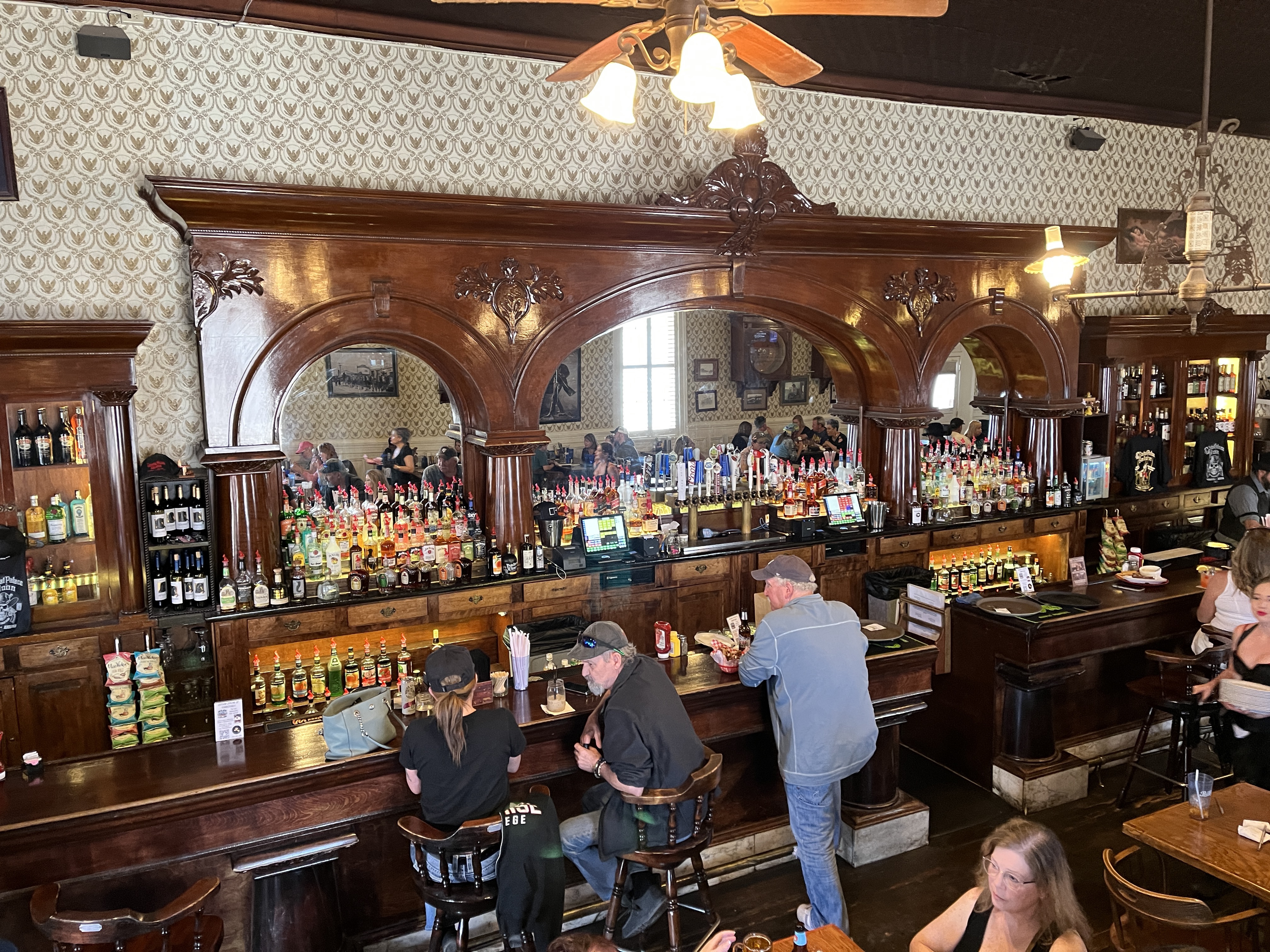
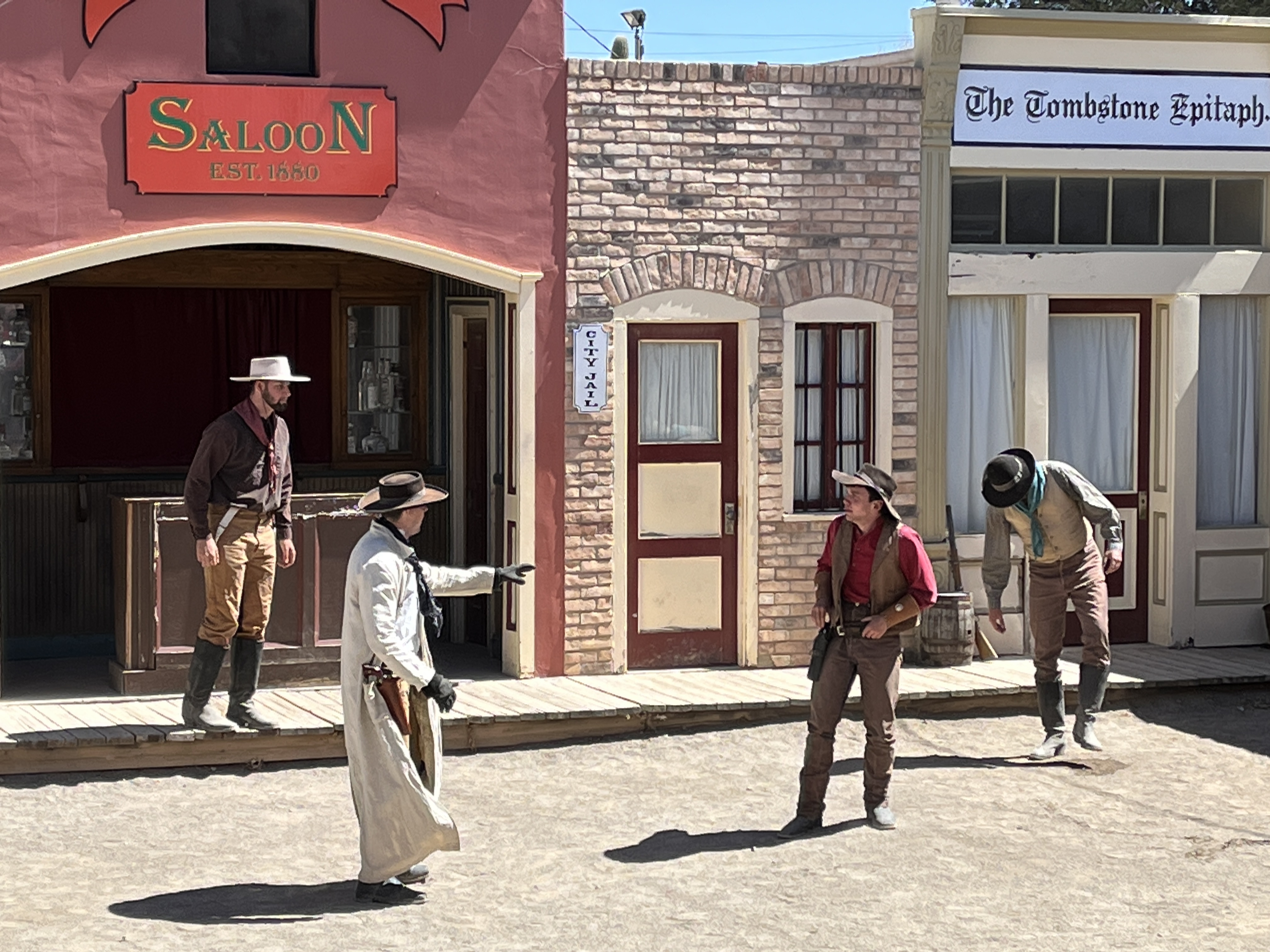
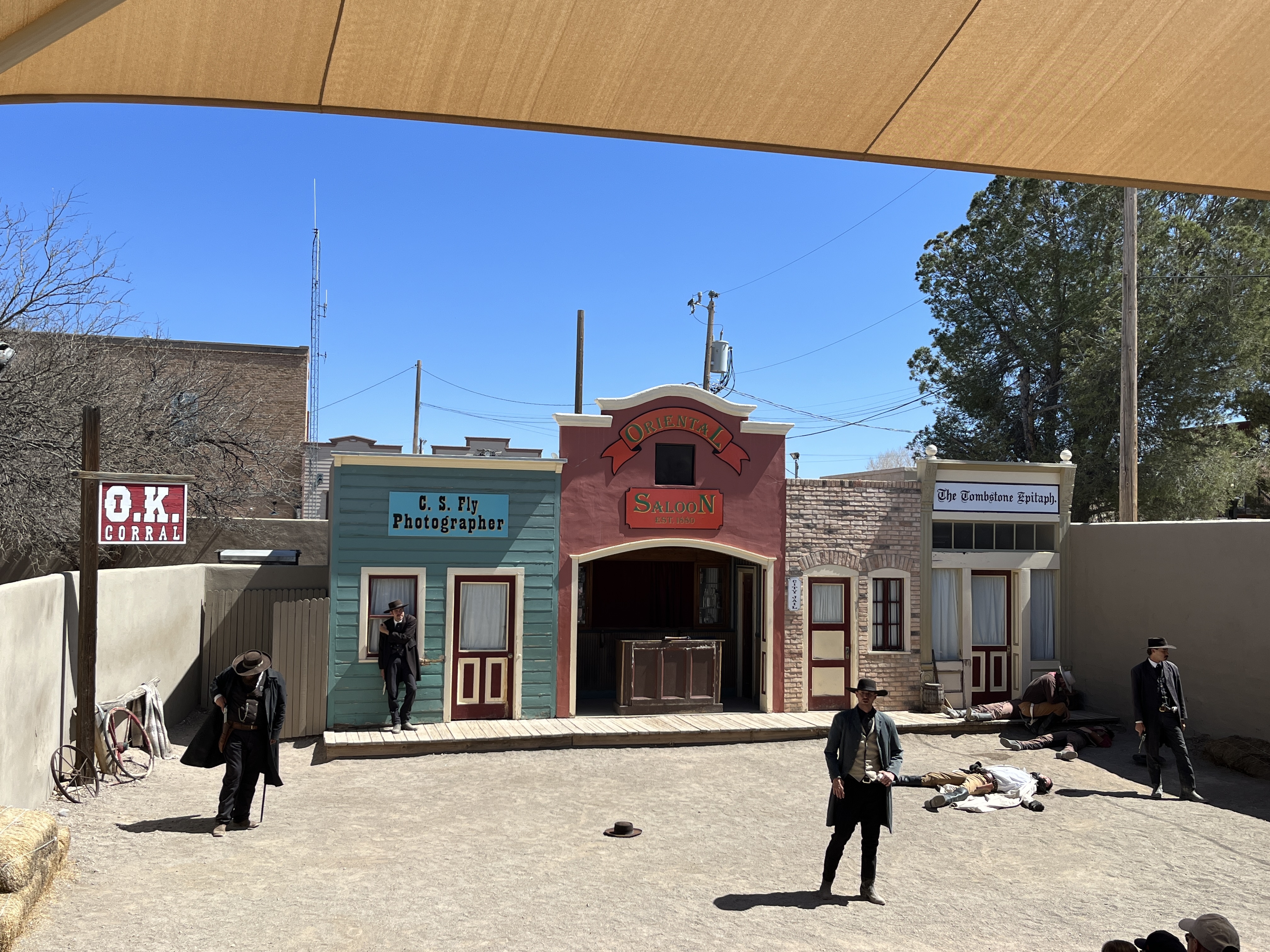
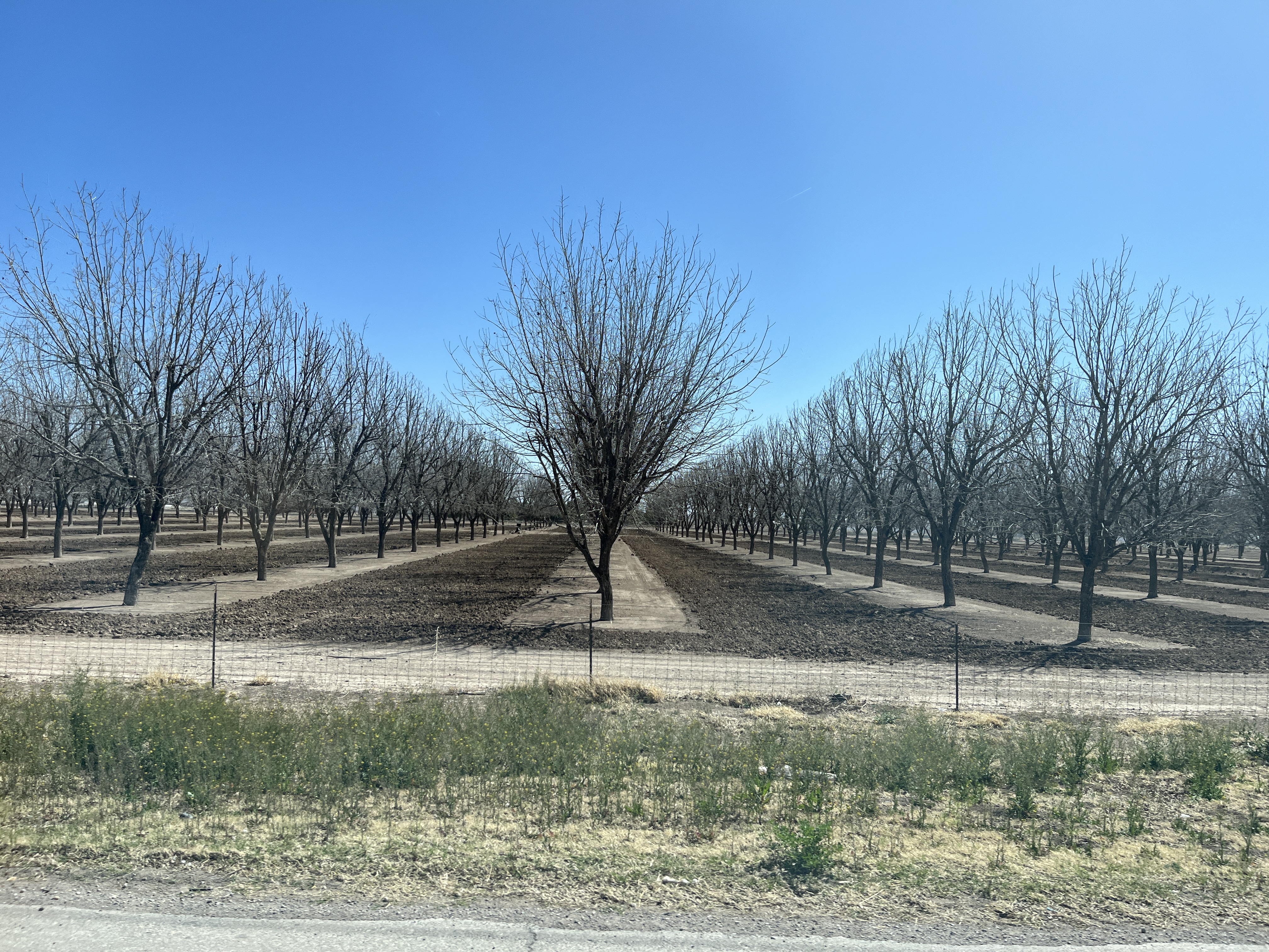
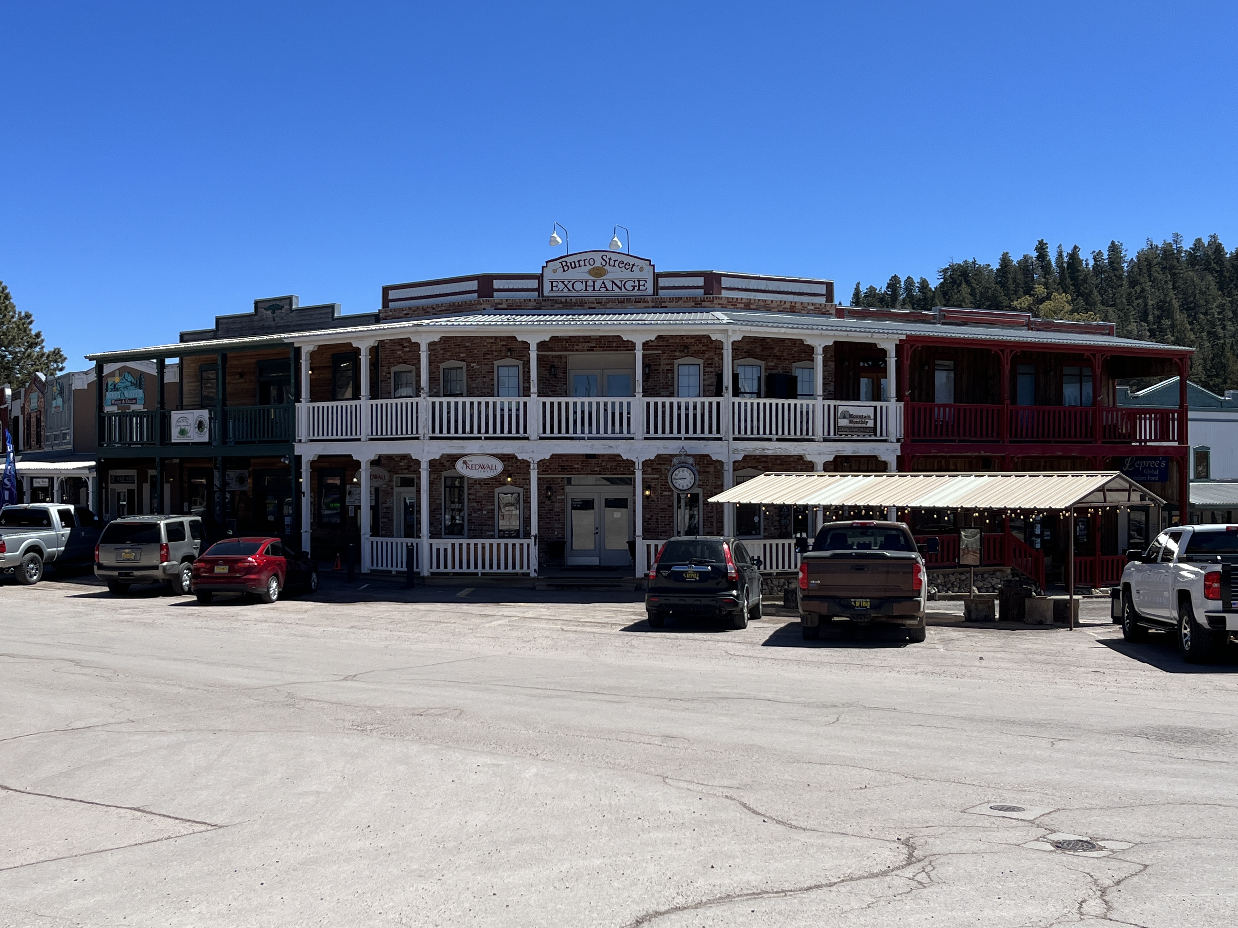
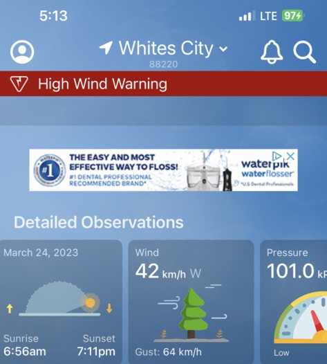
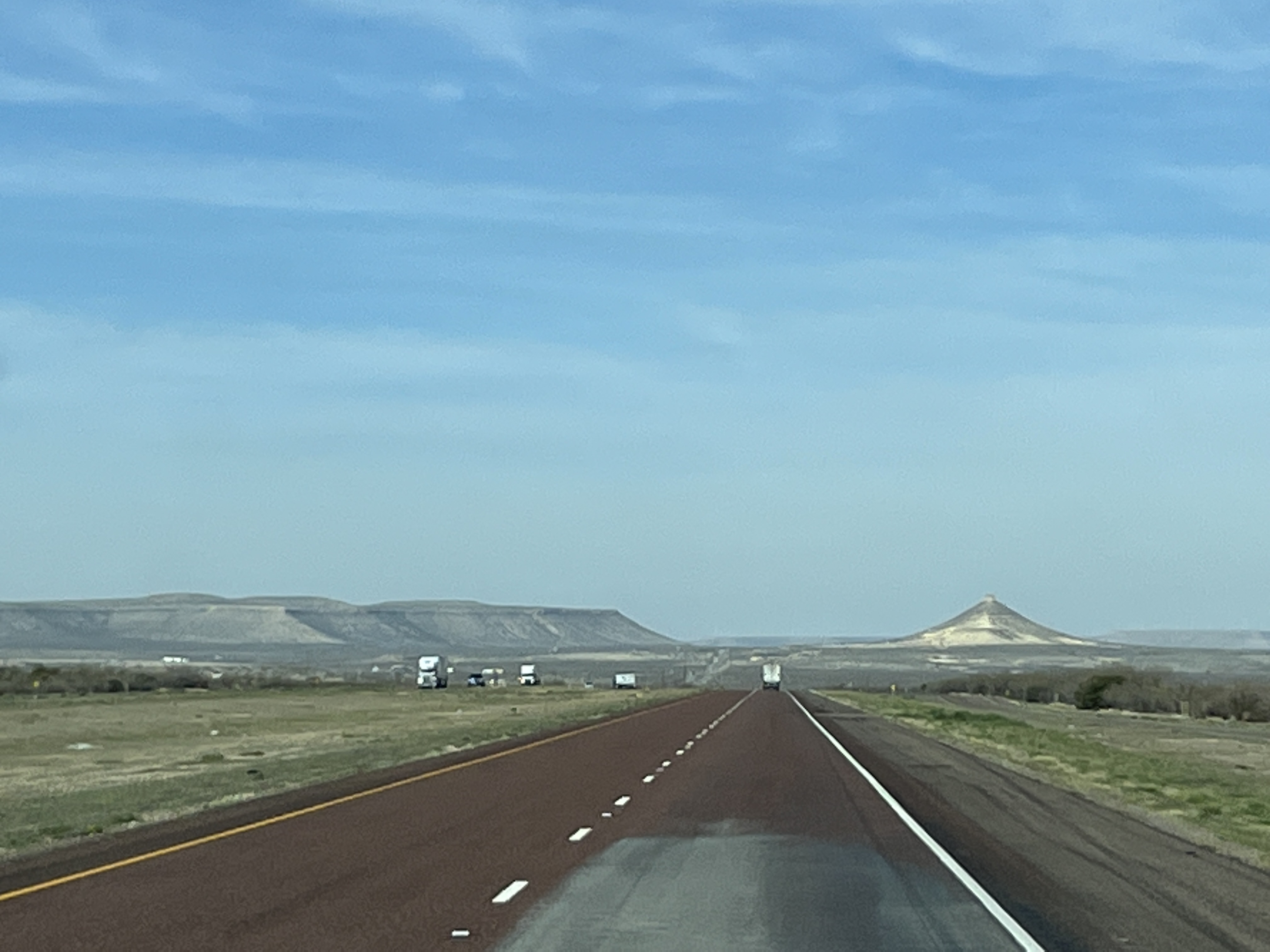
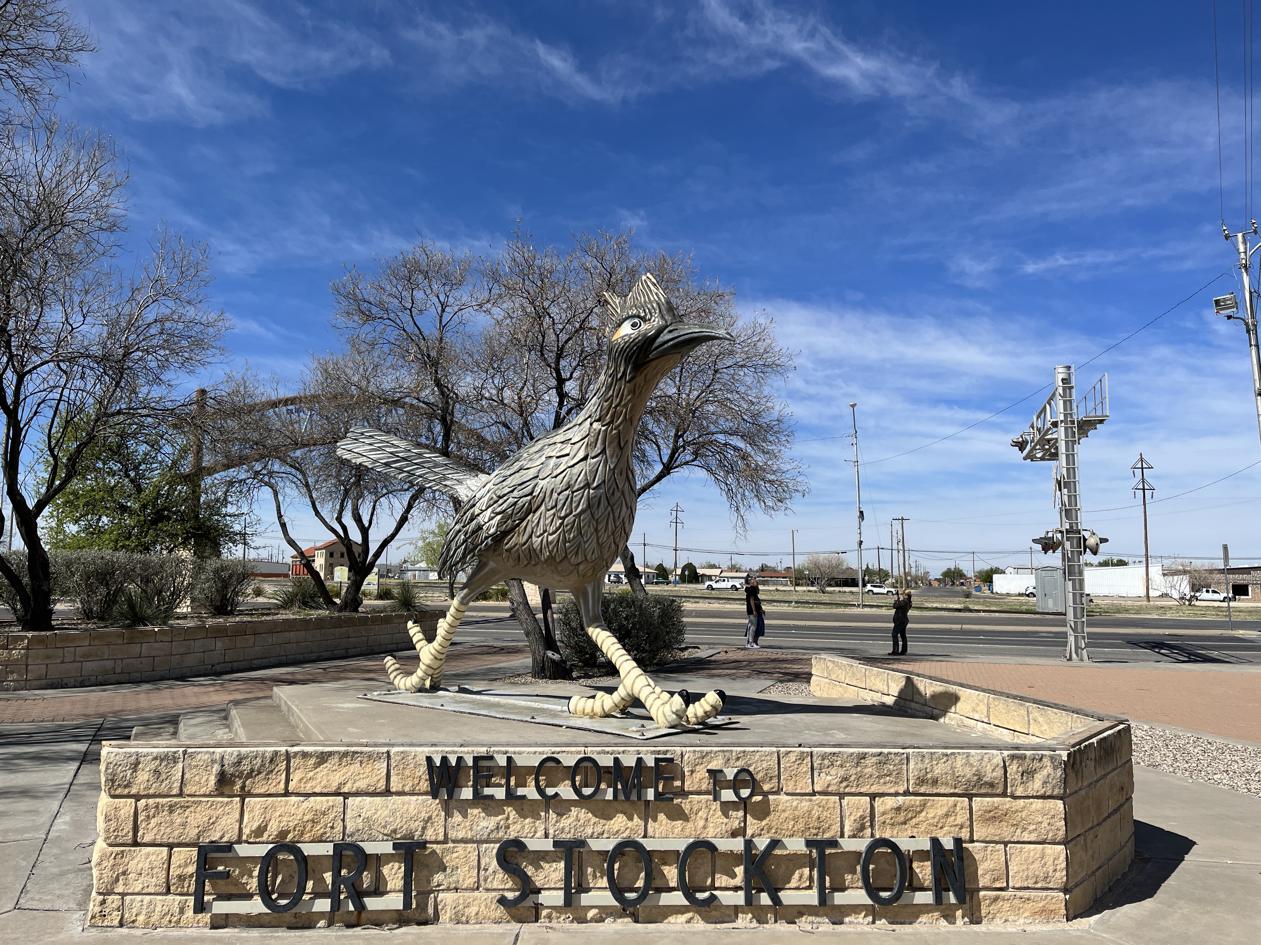
    Driving day today as we awake from another quiet night of slumber. The wind has picked up a bit and is from the West so that should help with our travels today.

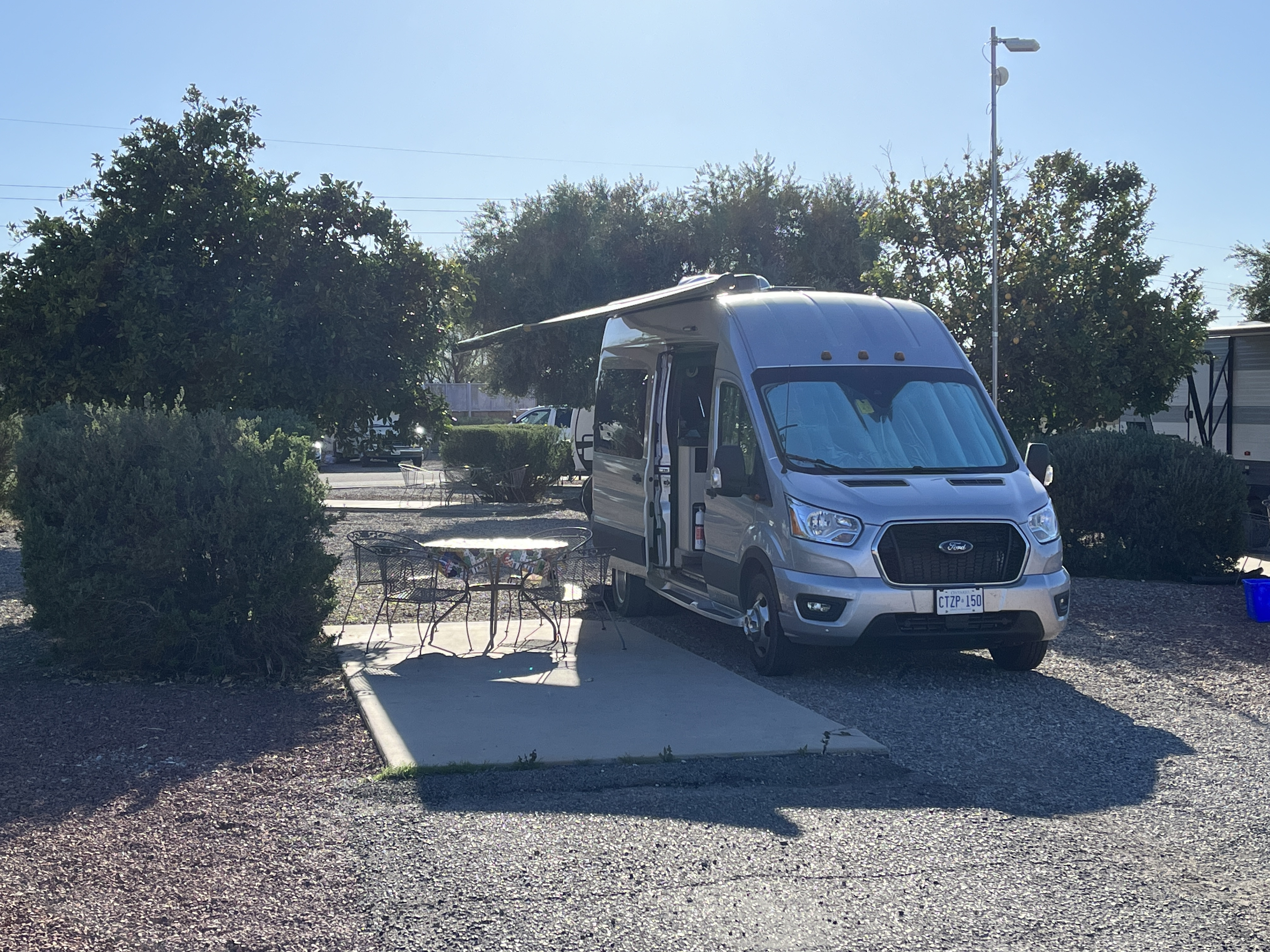
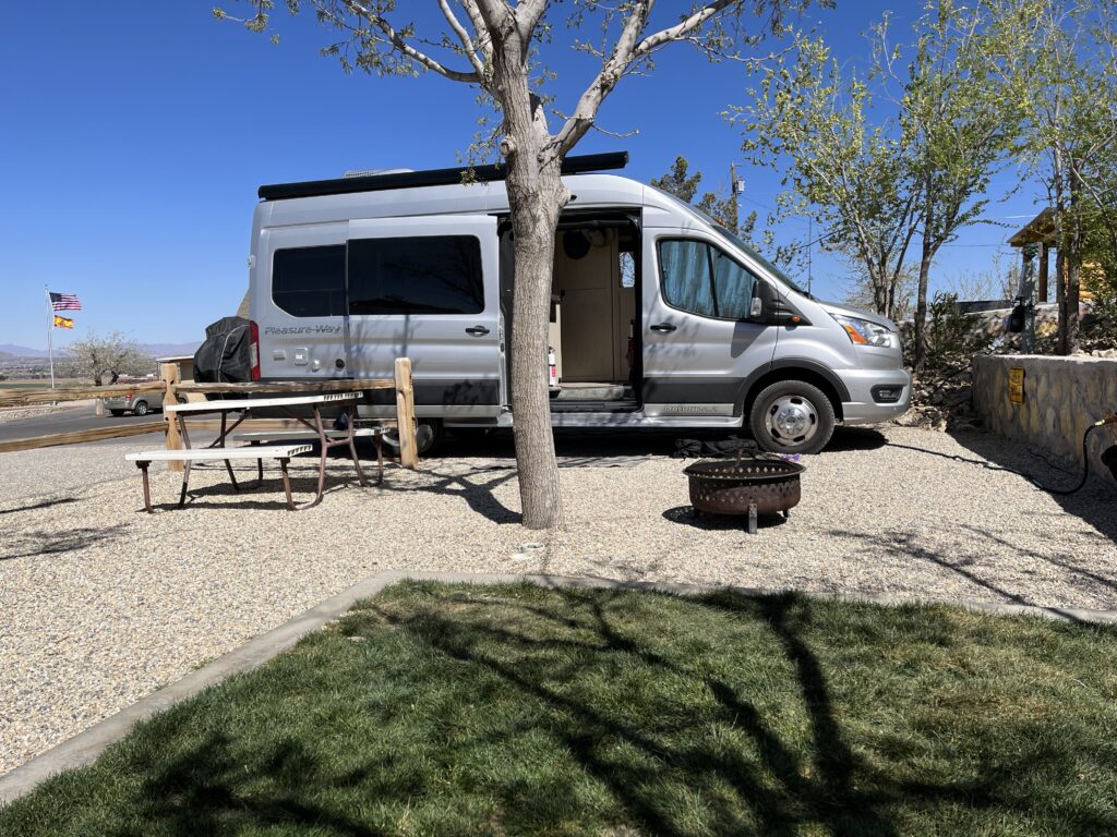
    A normal pre-travel morning routine sees us enjoy a small breakfast and then it’s time to disconnect from the campground services and prepare to depart. All is good to go.

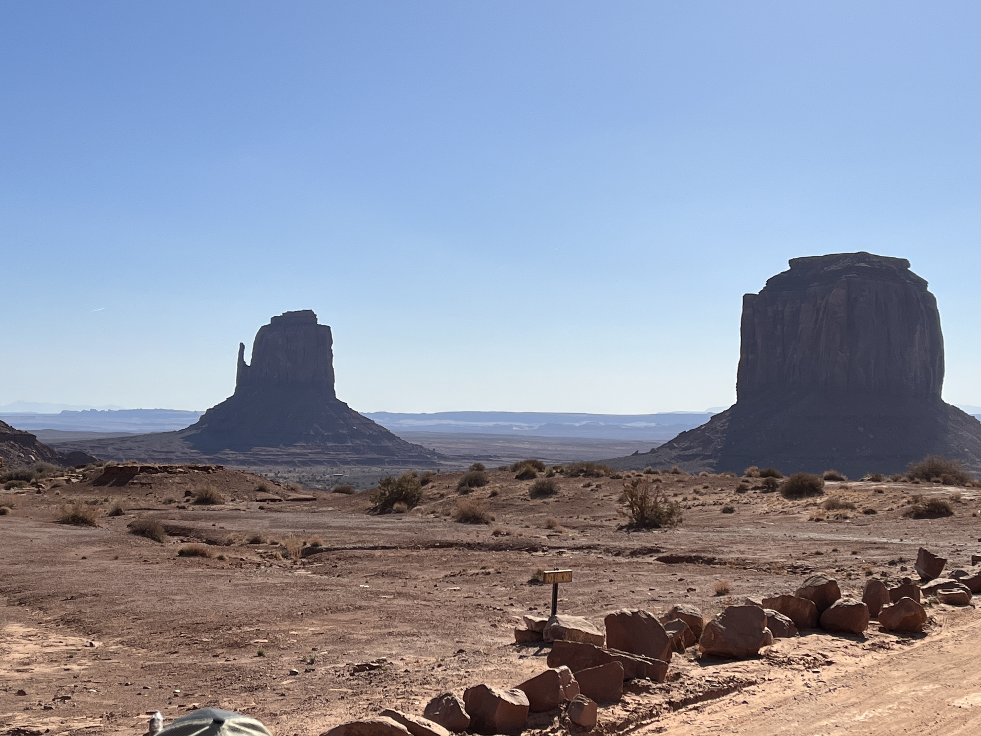
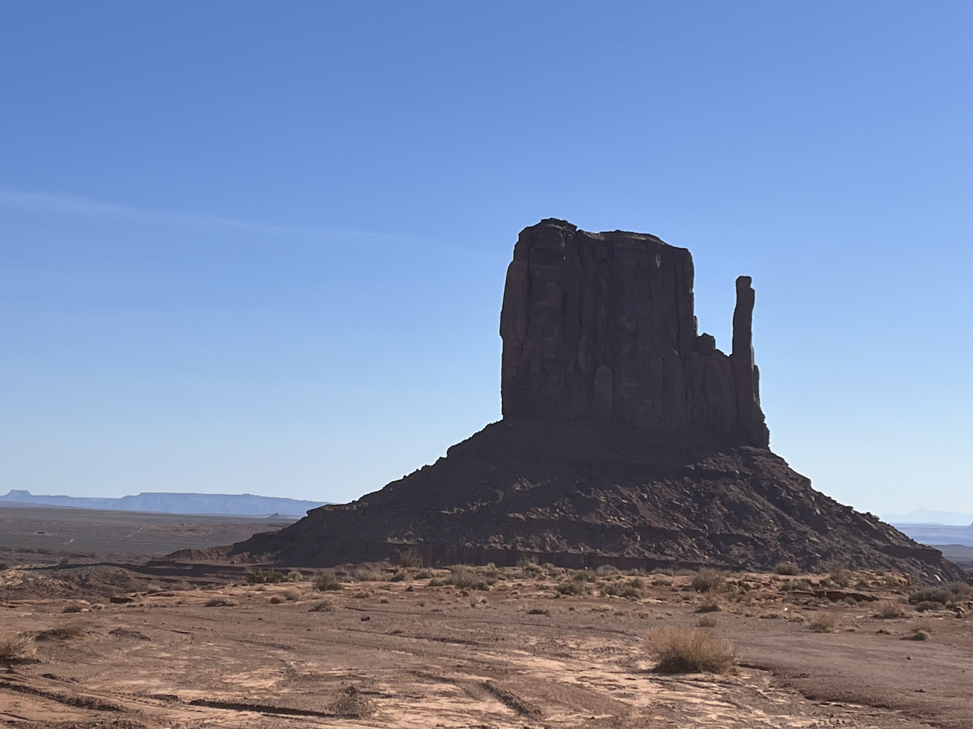
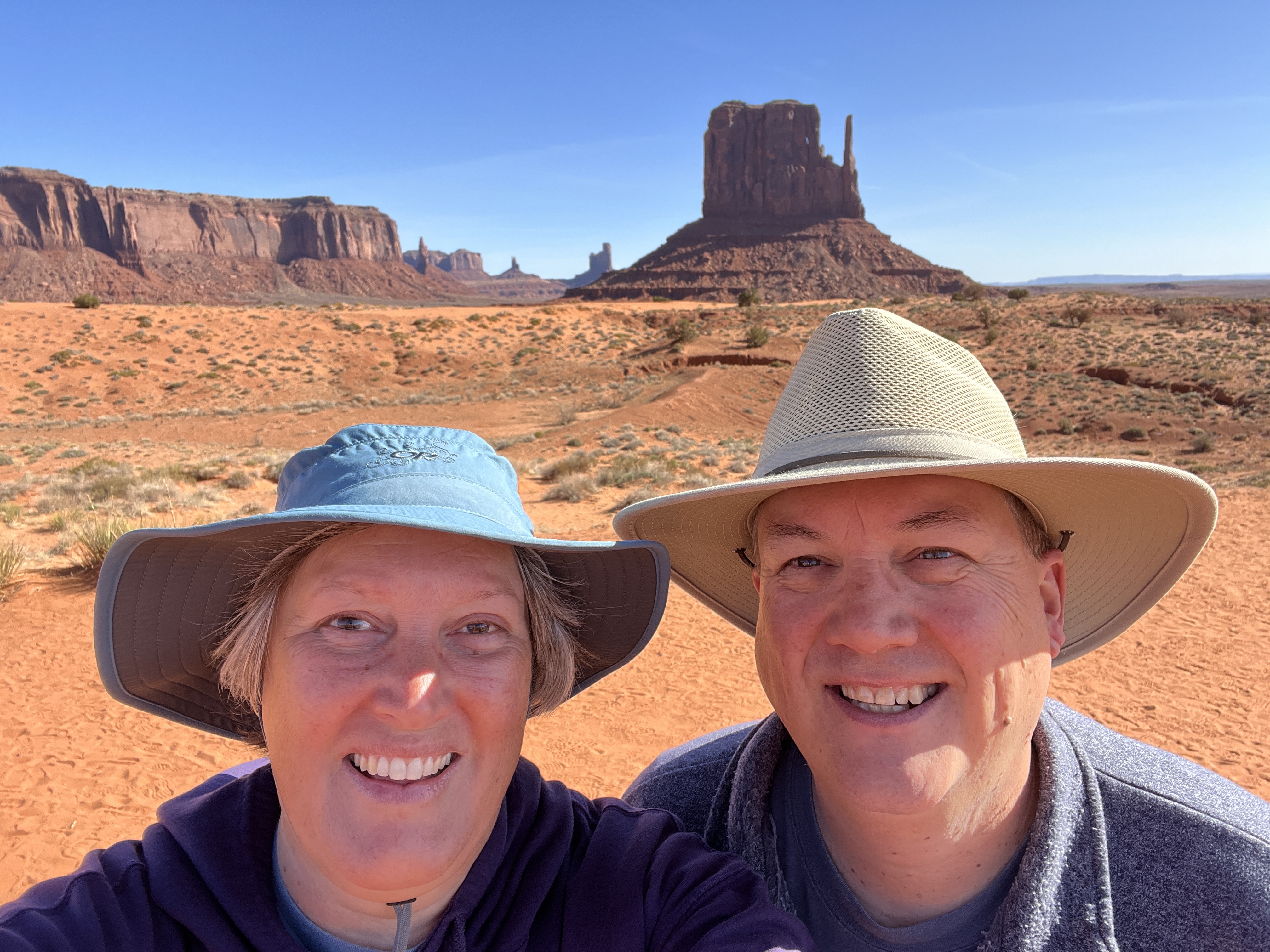
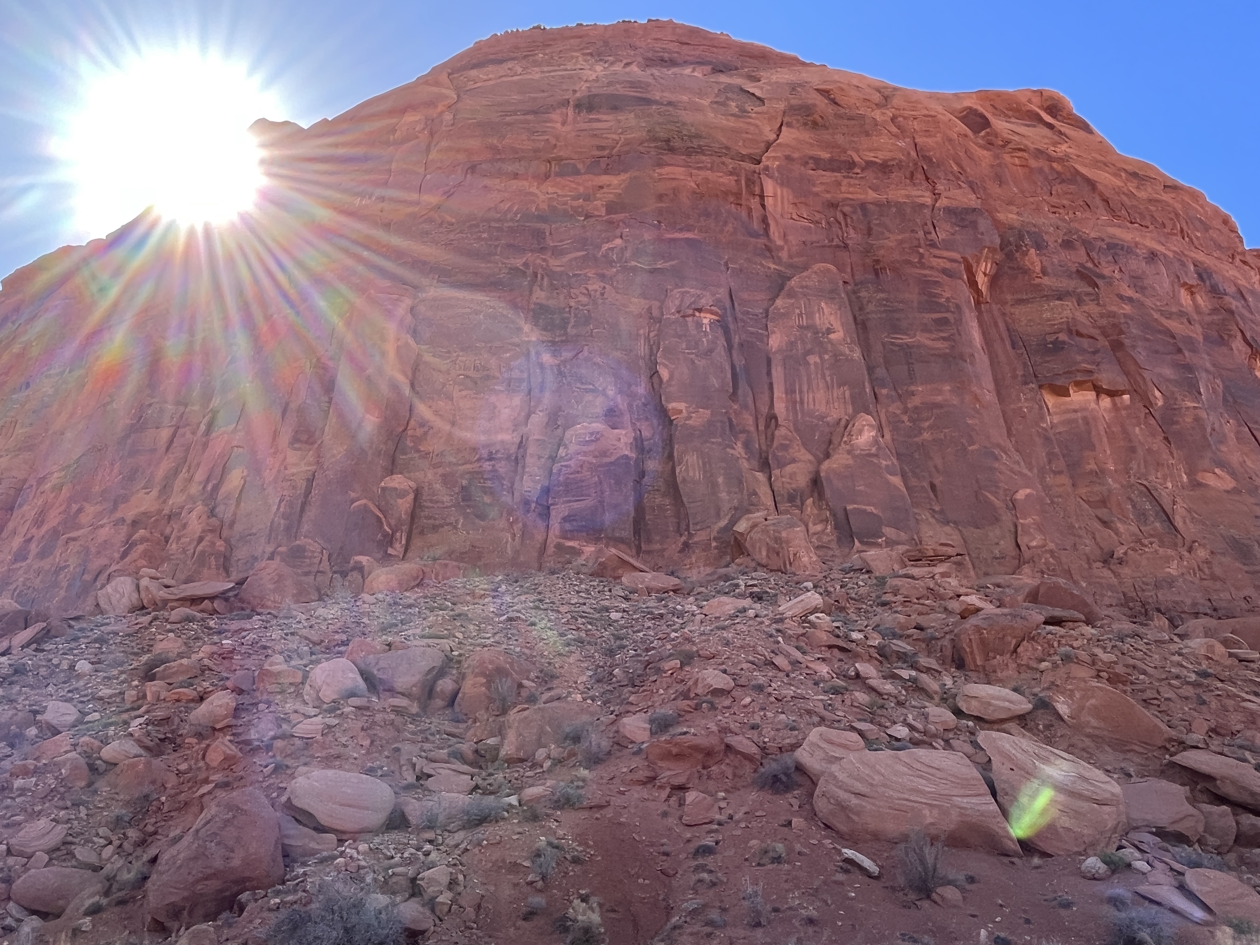
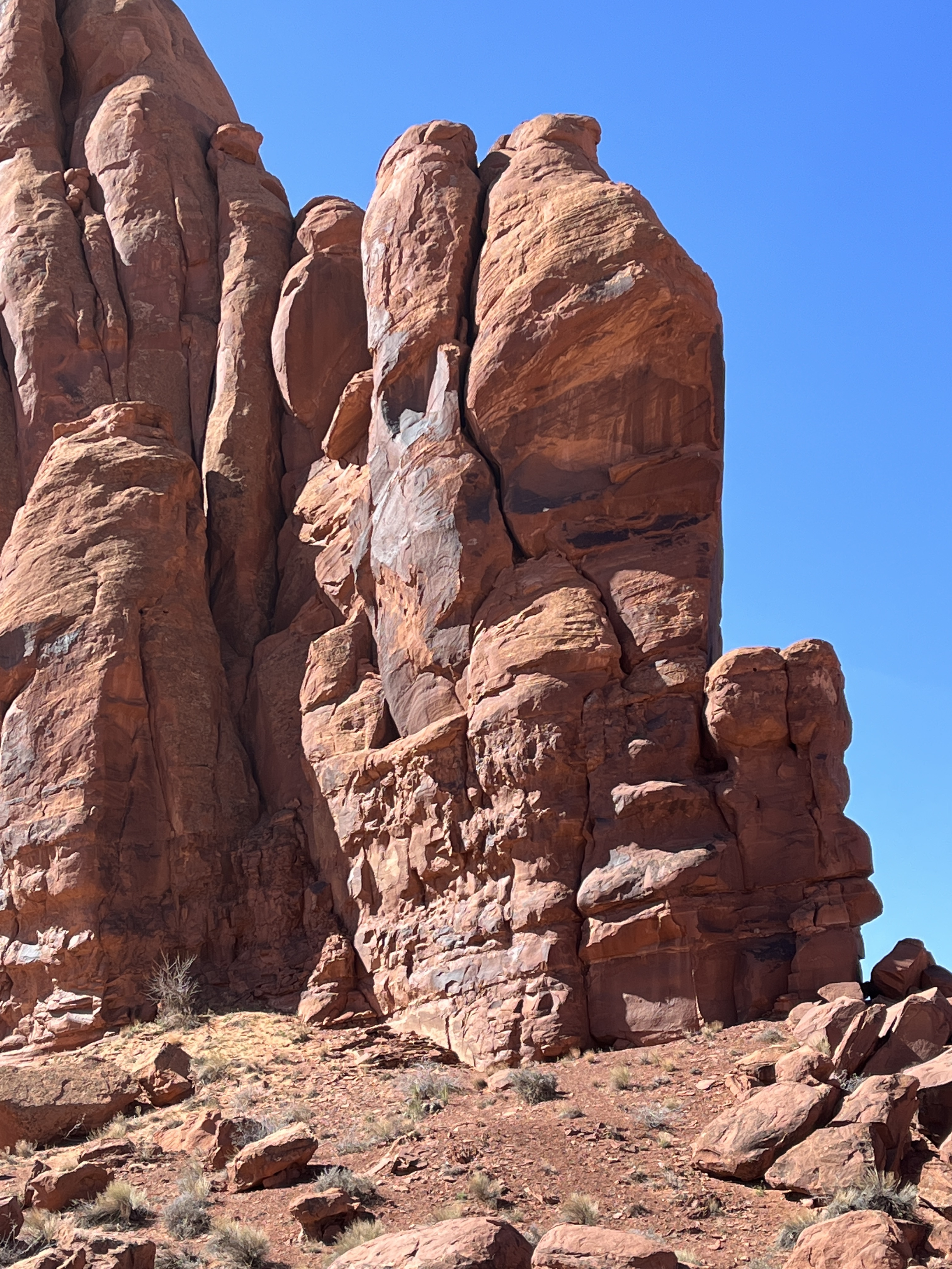
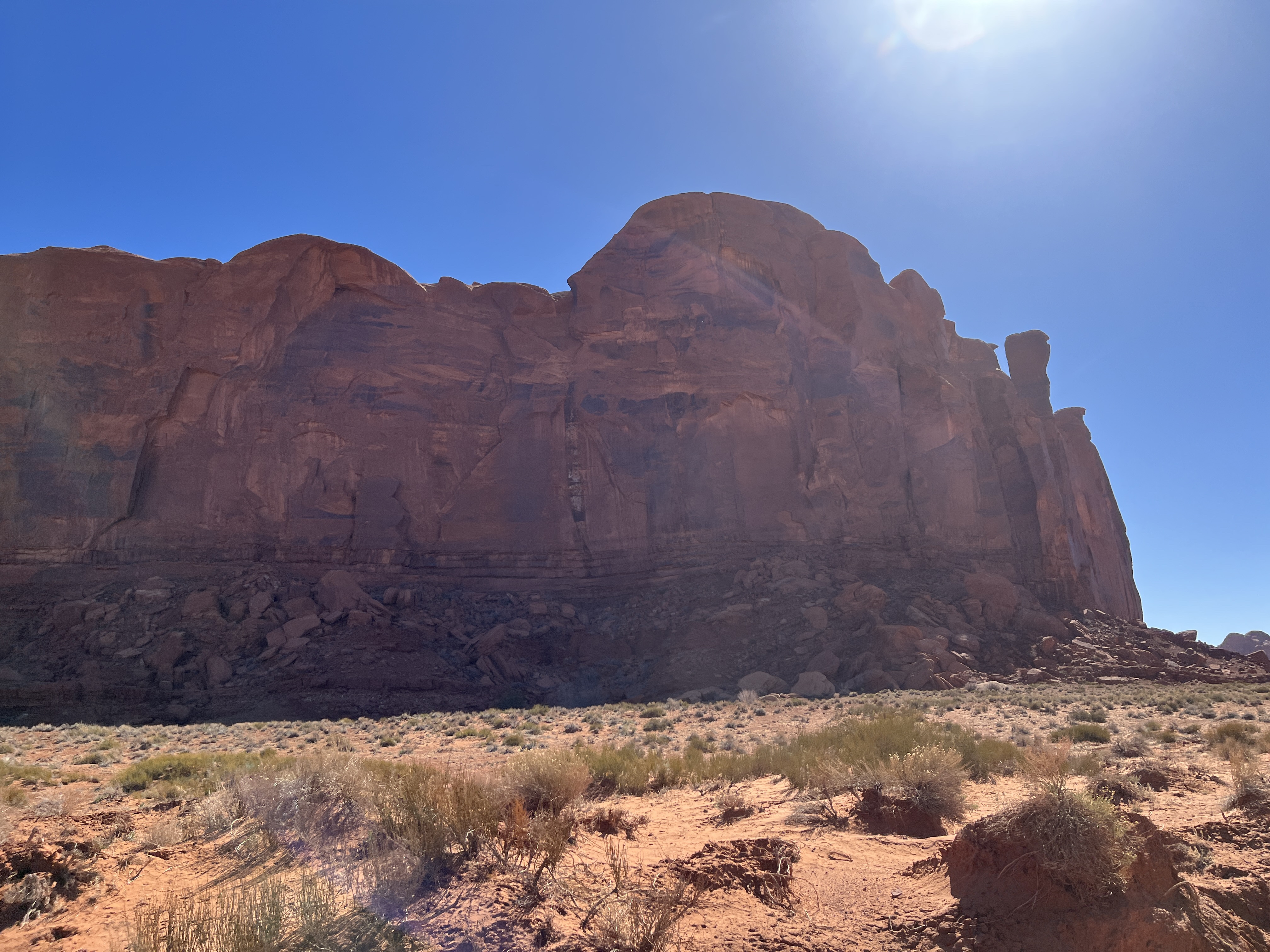
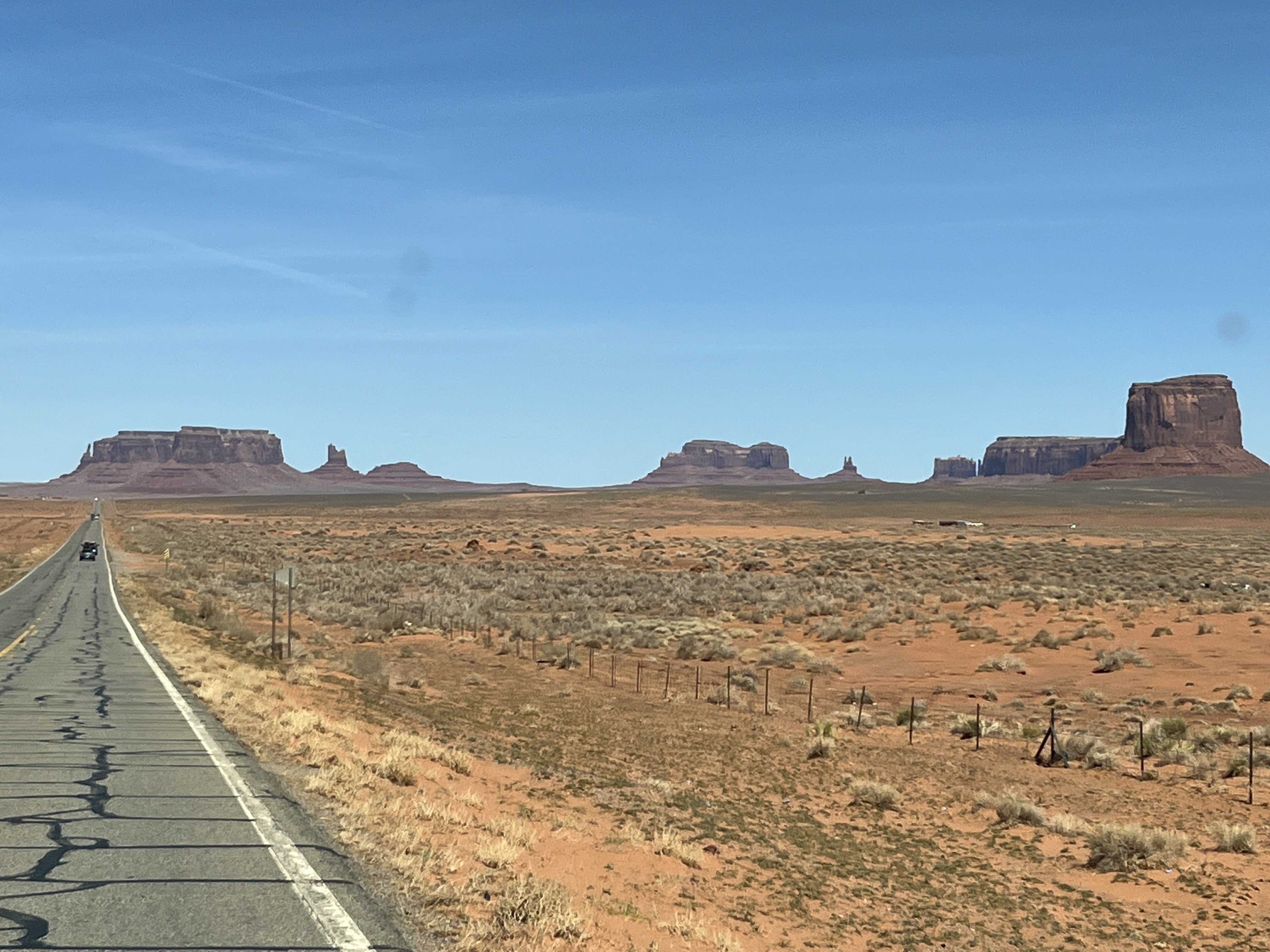
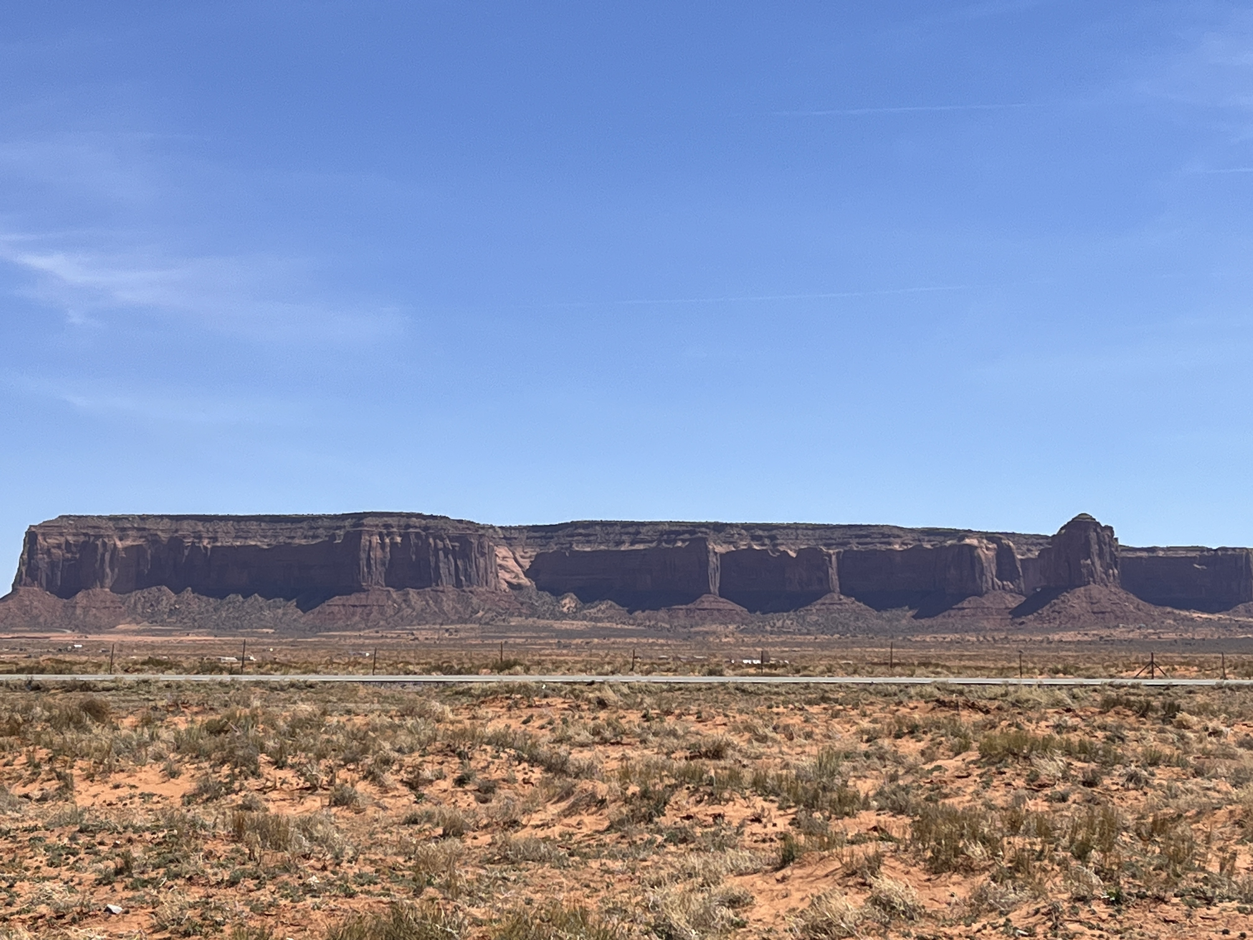
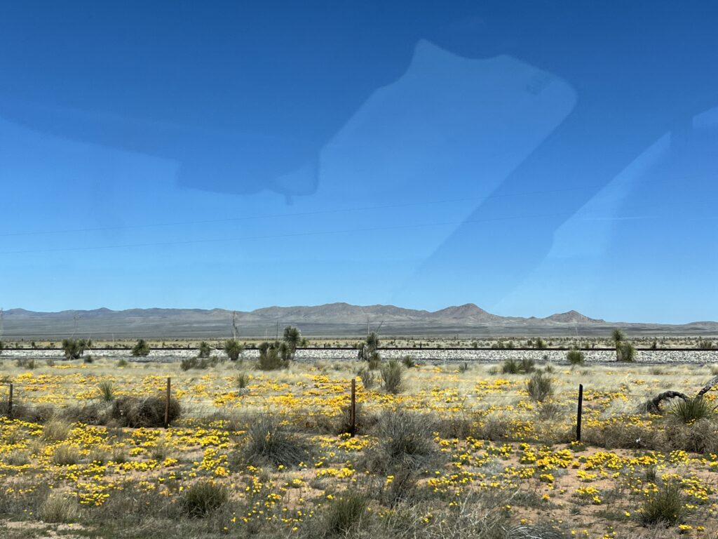
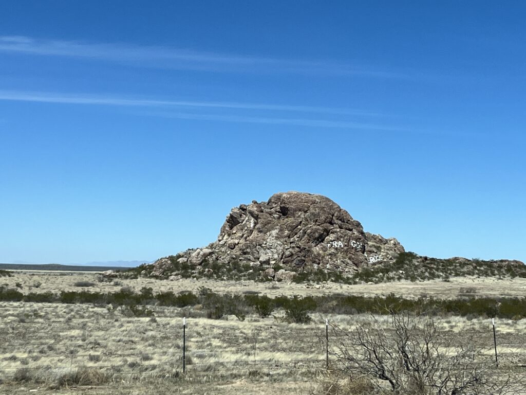
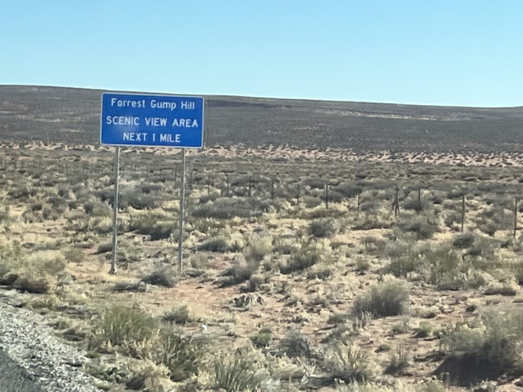
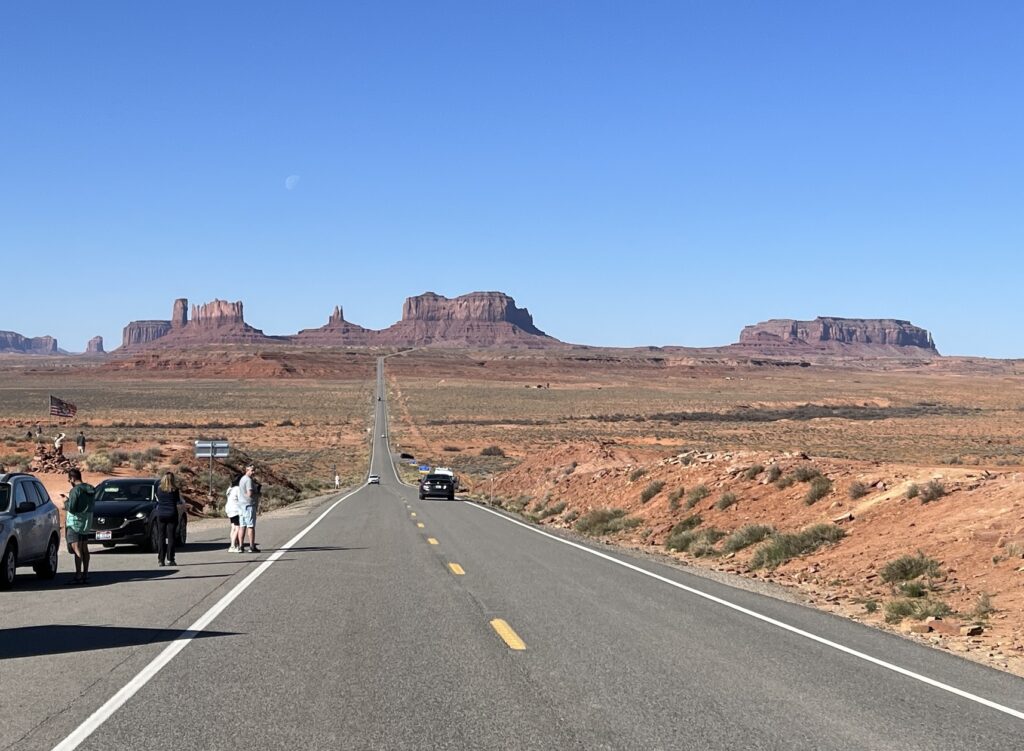
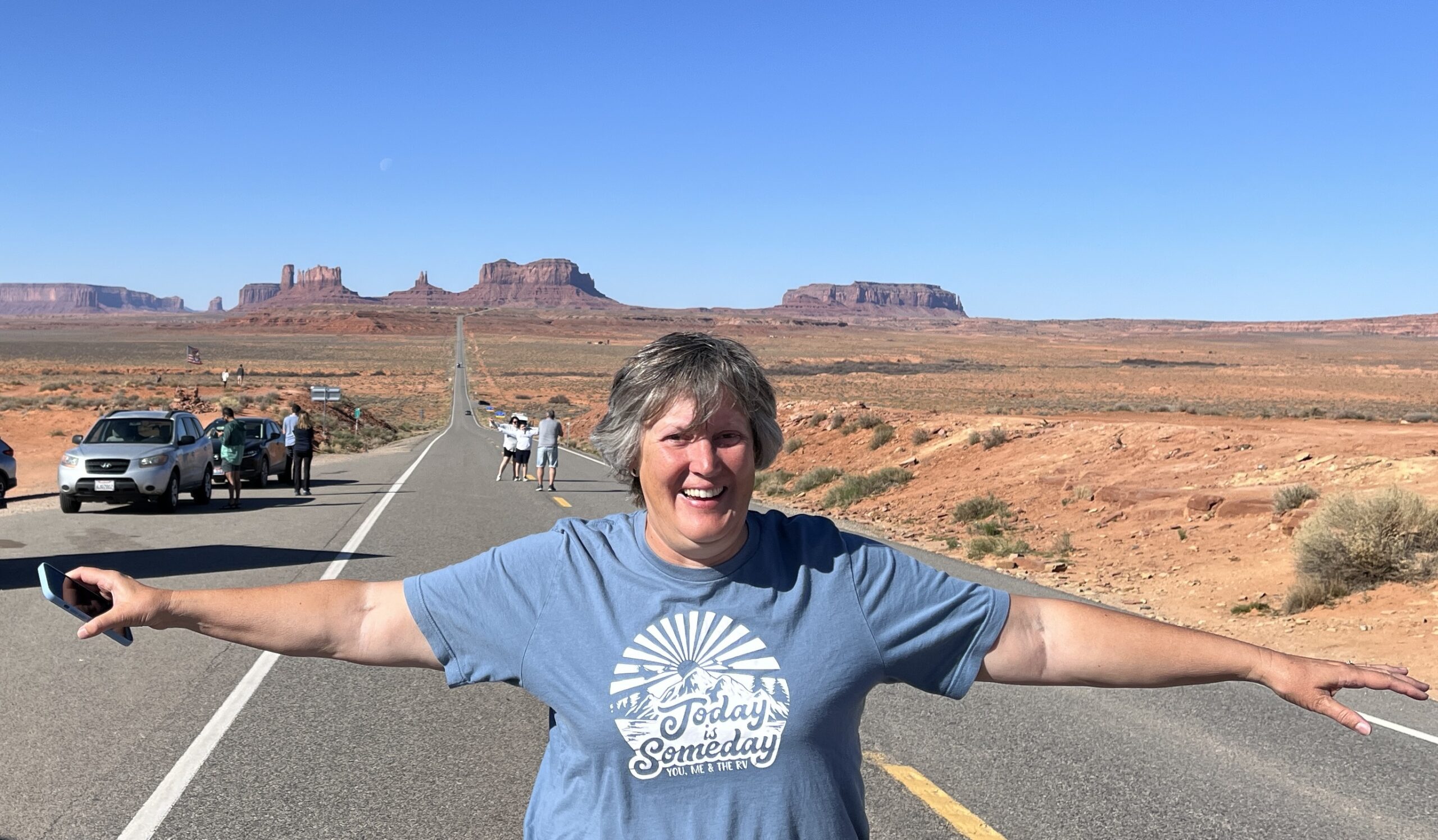
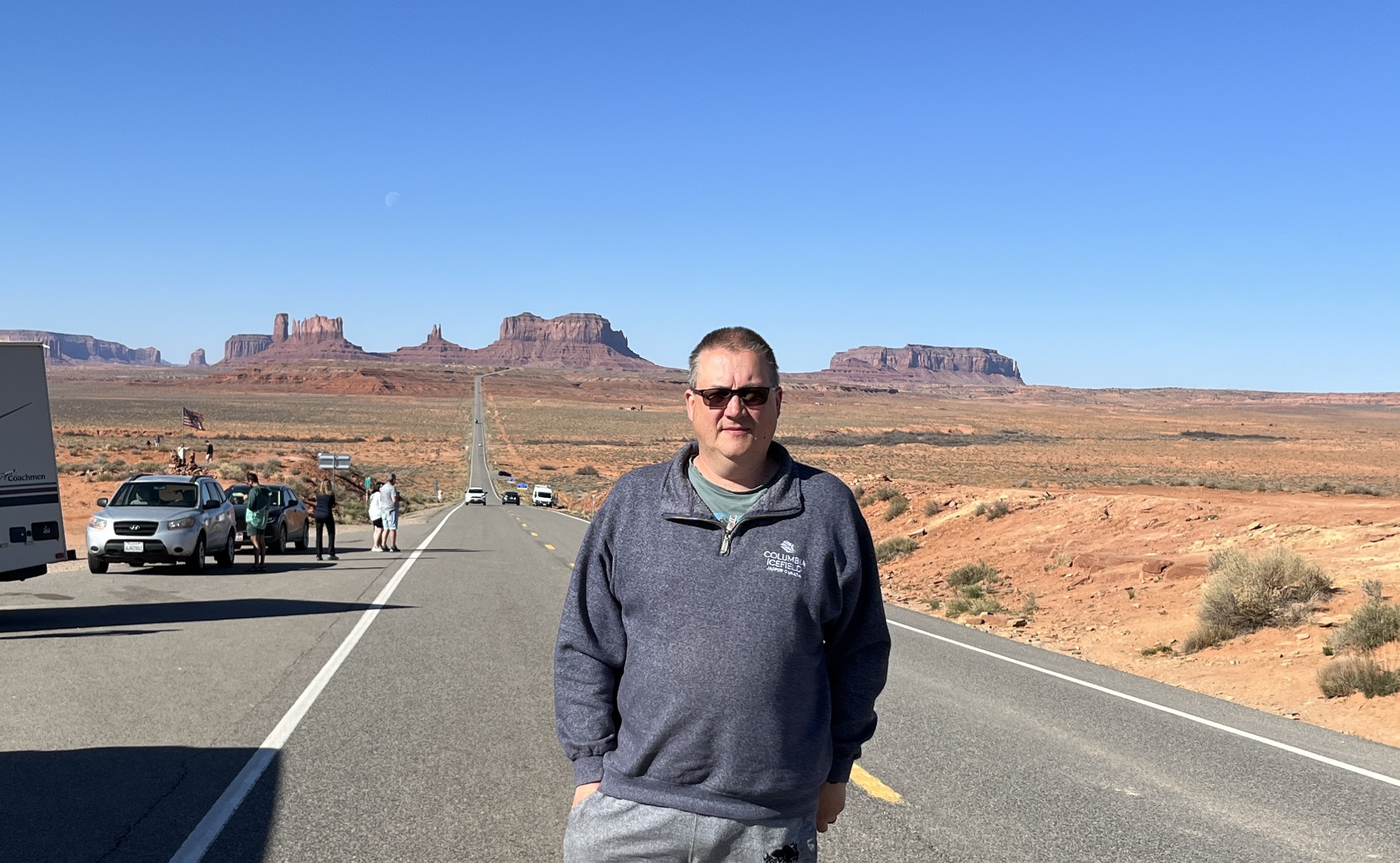
    Our first stop will be very familiar to anyone who has watched the movie “Forrest Gump” for we stop and take some pictures at the place where Forrest ends his running and decides to go home.

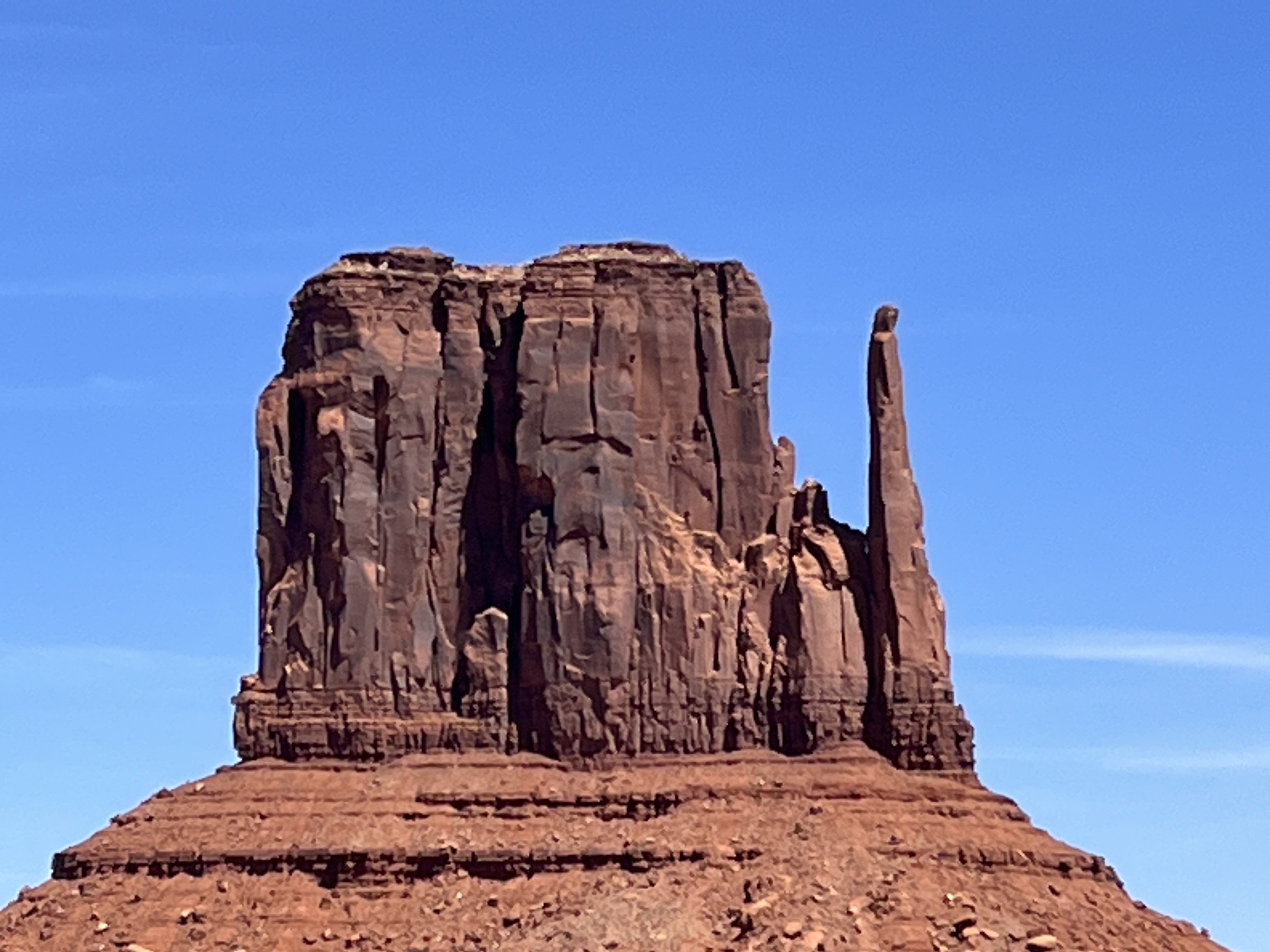
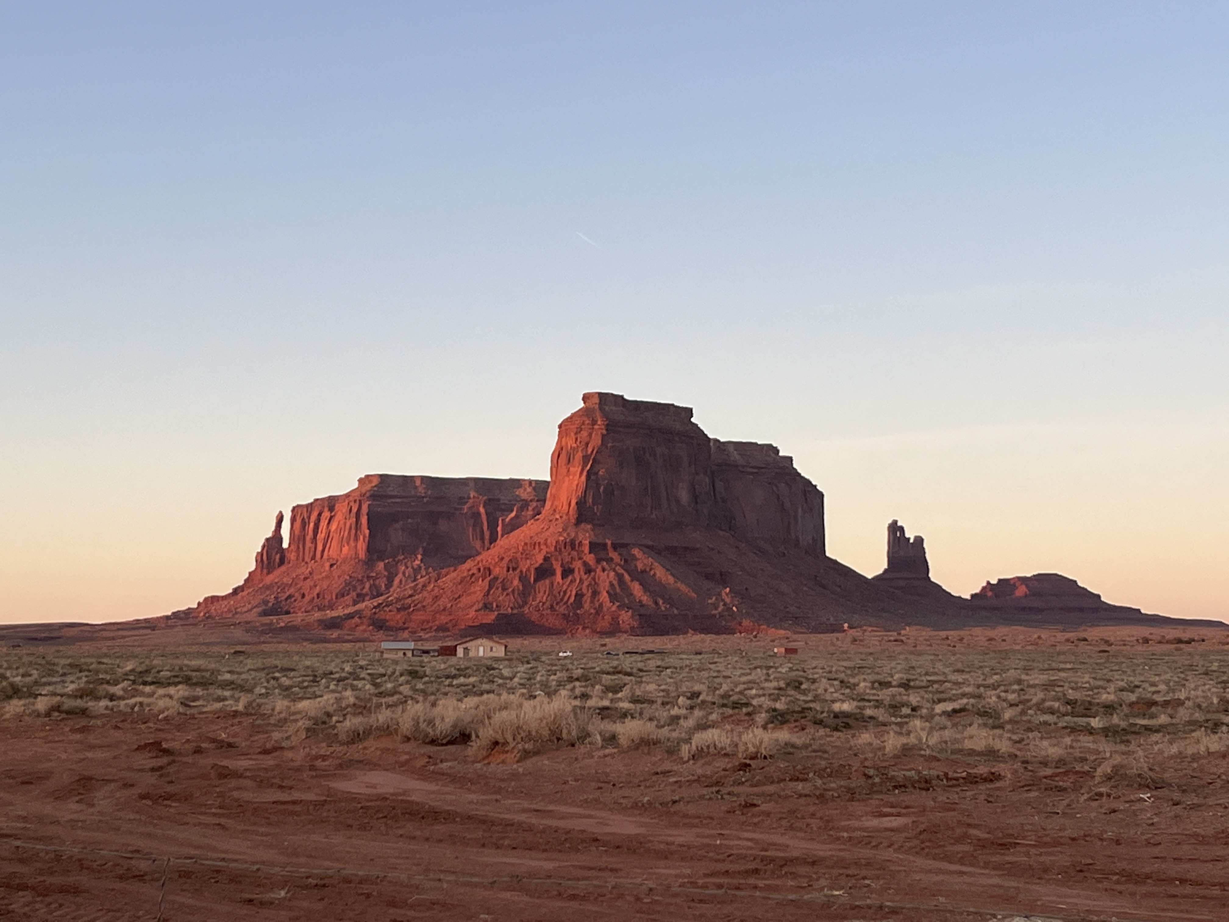
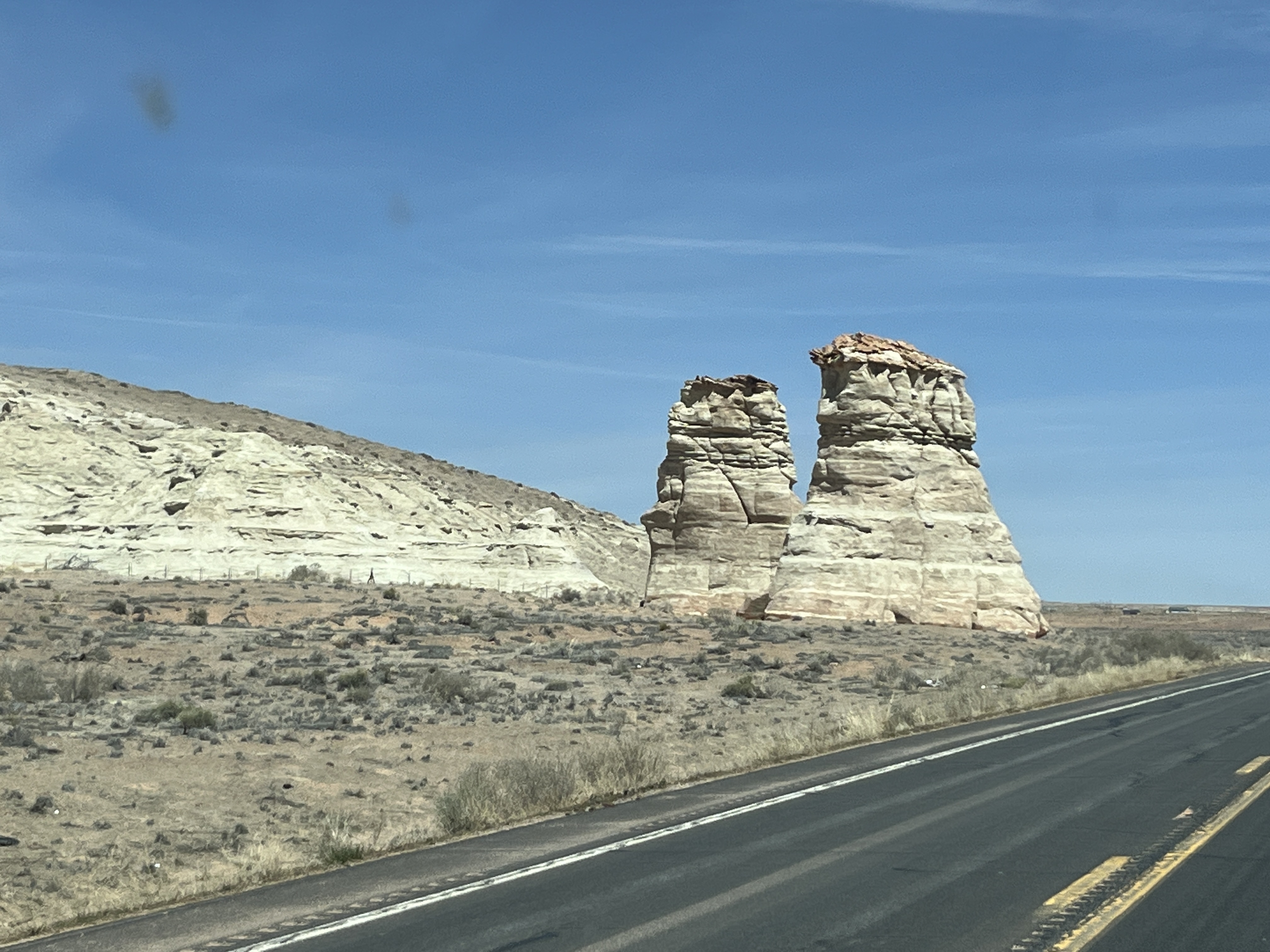
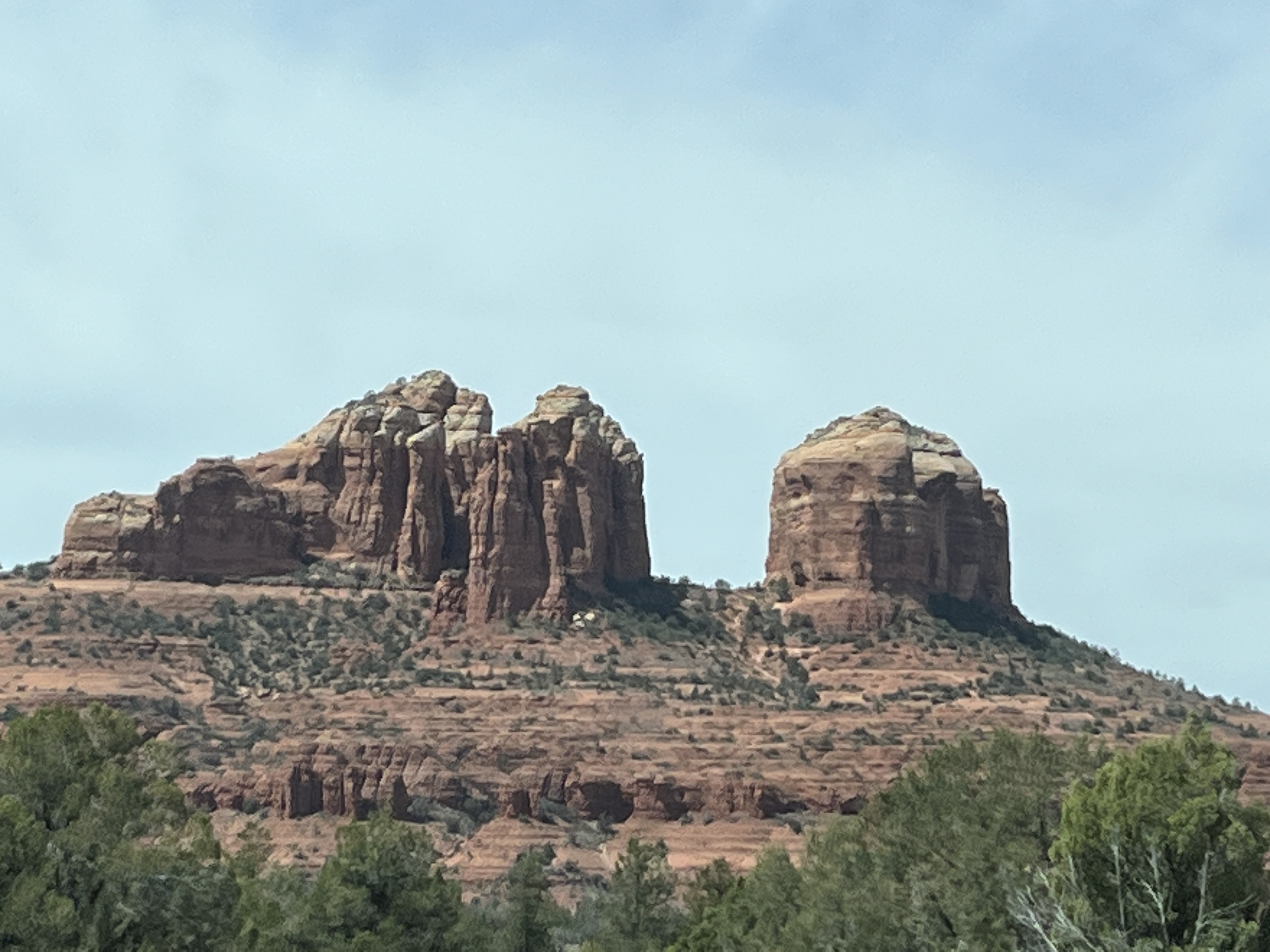
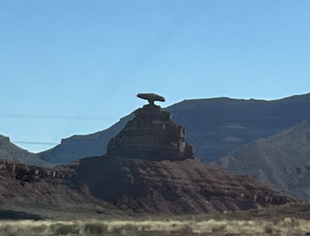
    From here we drove just a short distance to Mexican Hat to view Mexican Hat Rock. Let me save you the time, it’s a rock that happens to look like a sombrero balancing on a much smaller rock. The picture says it all.

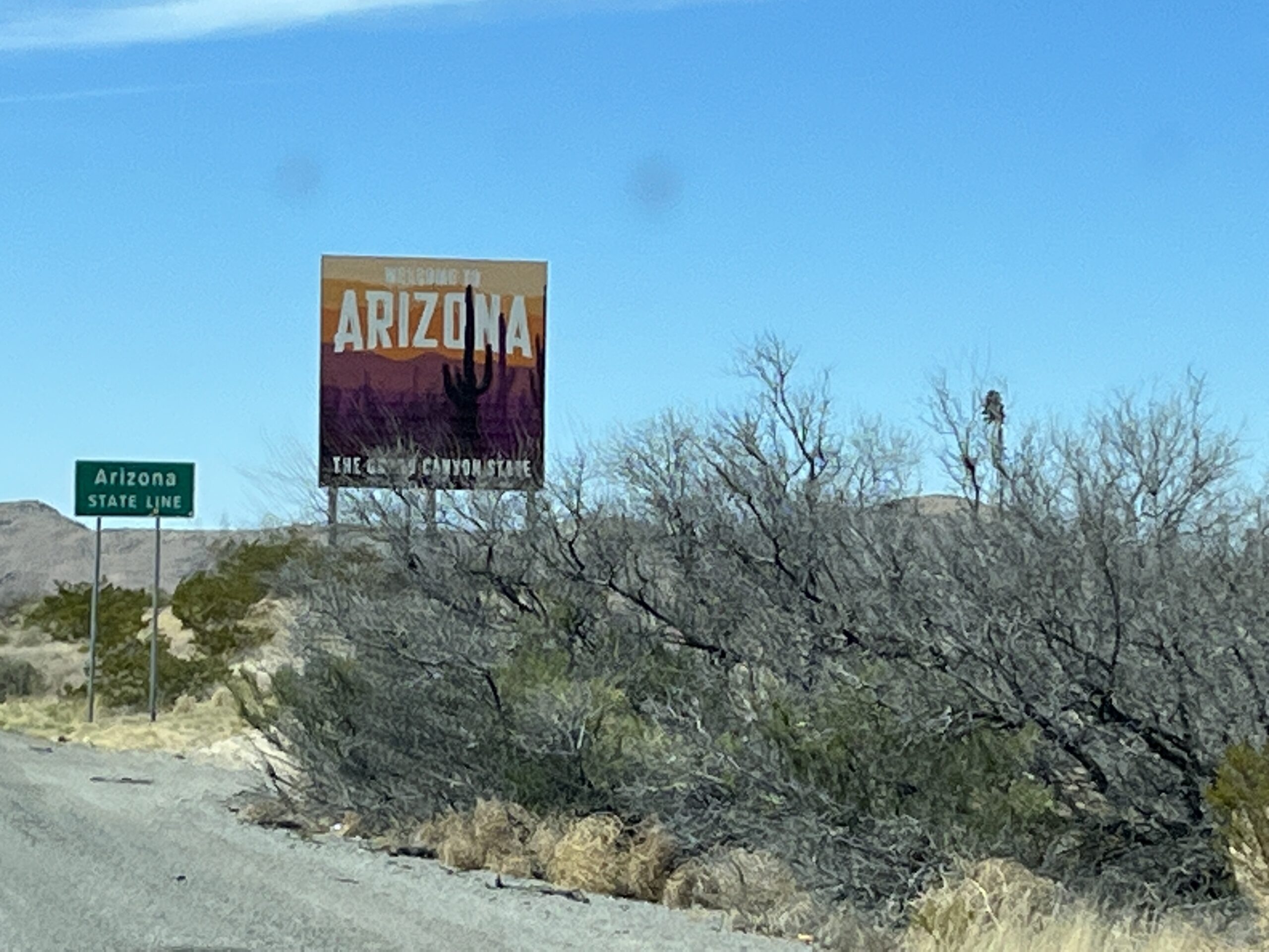
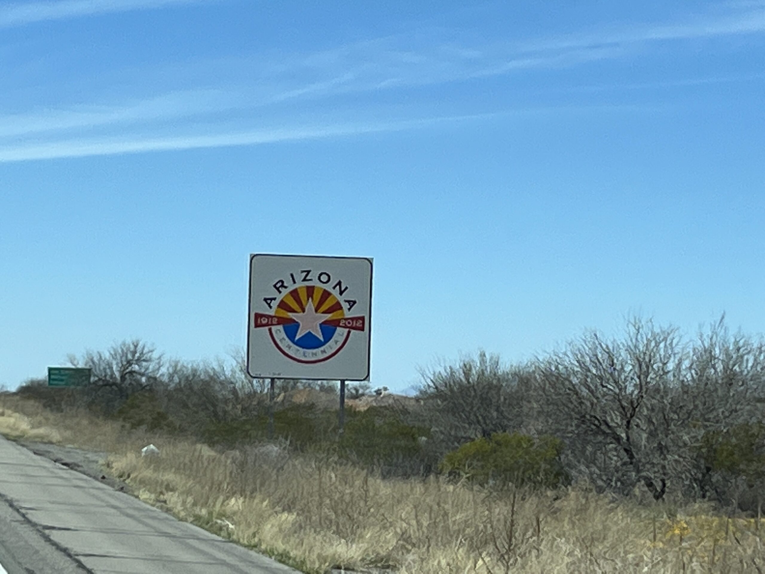
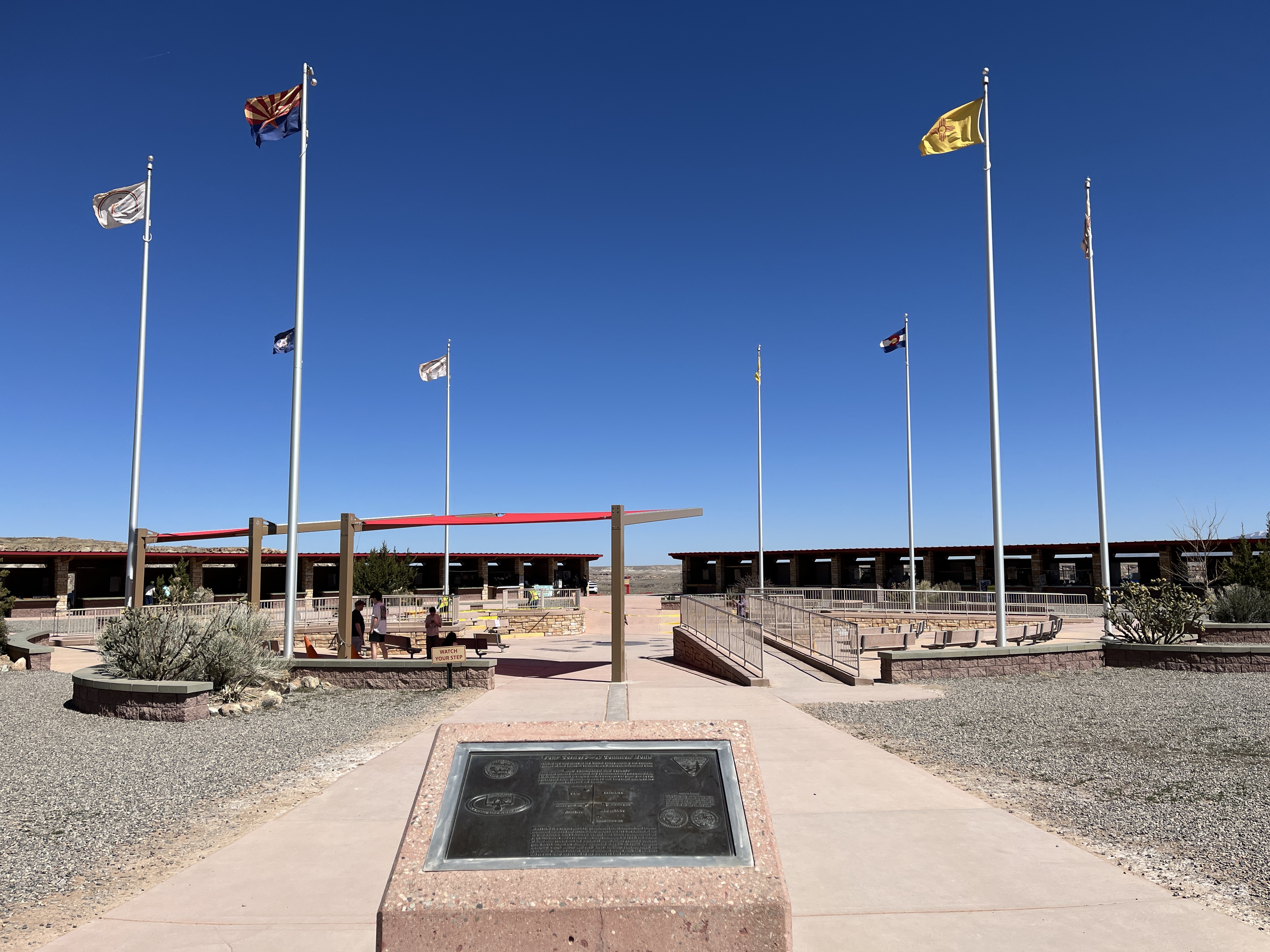
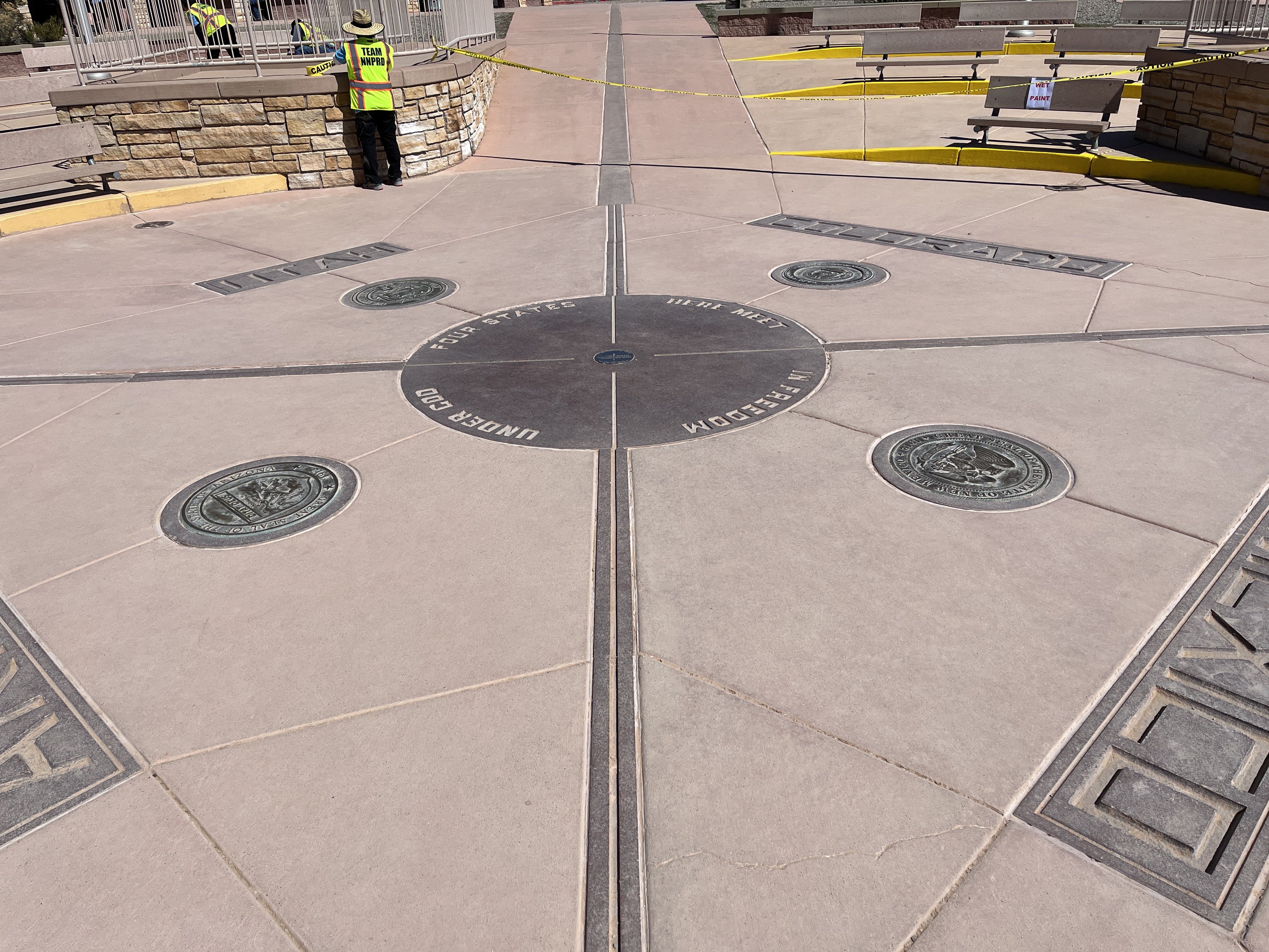
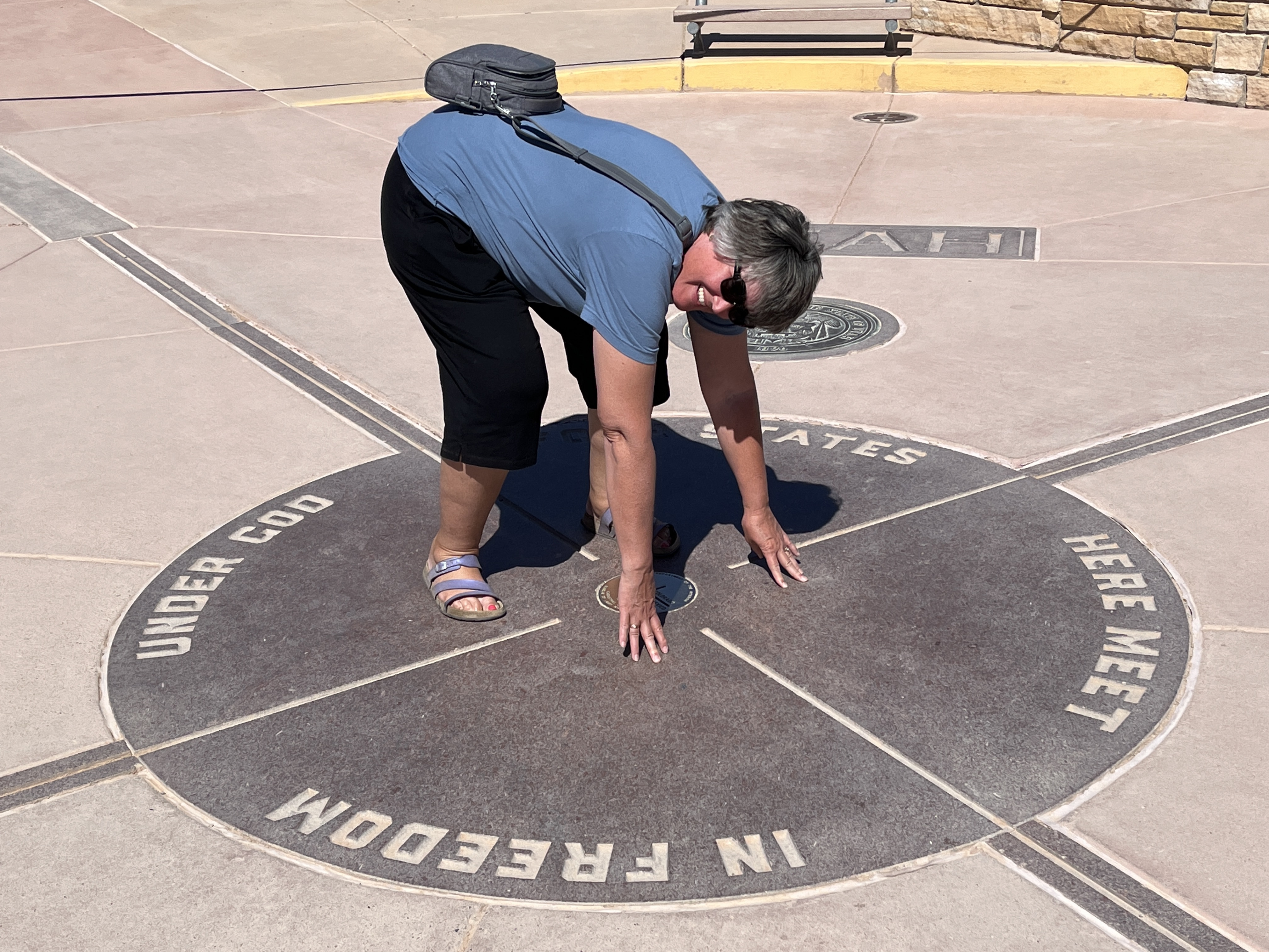
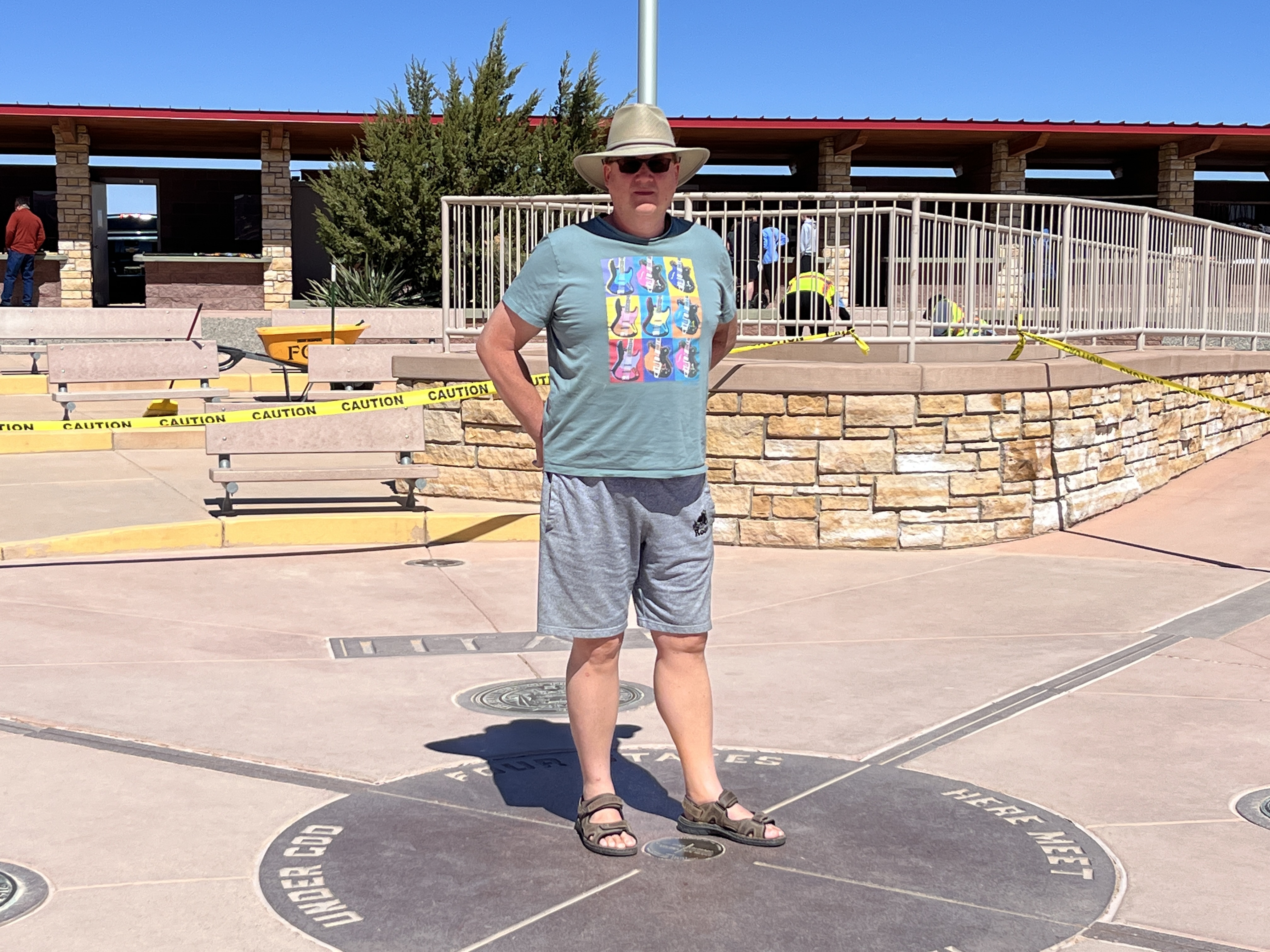
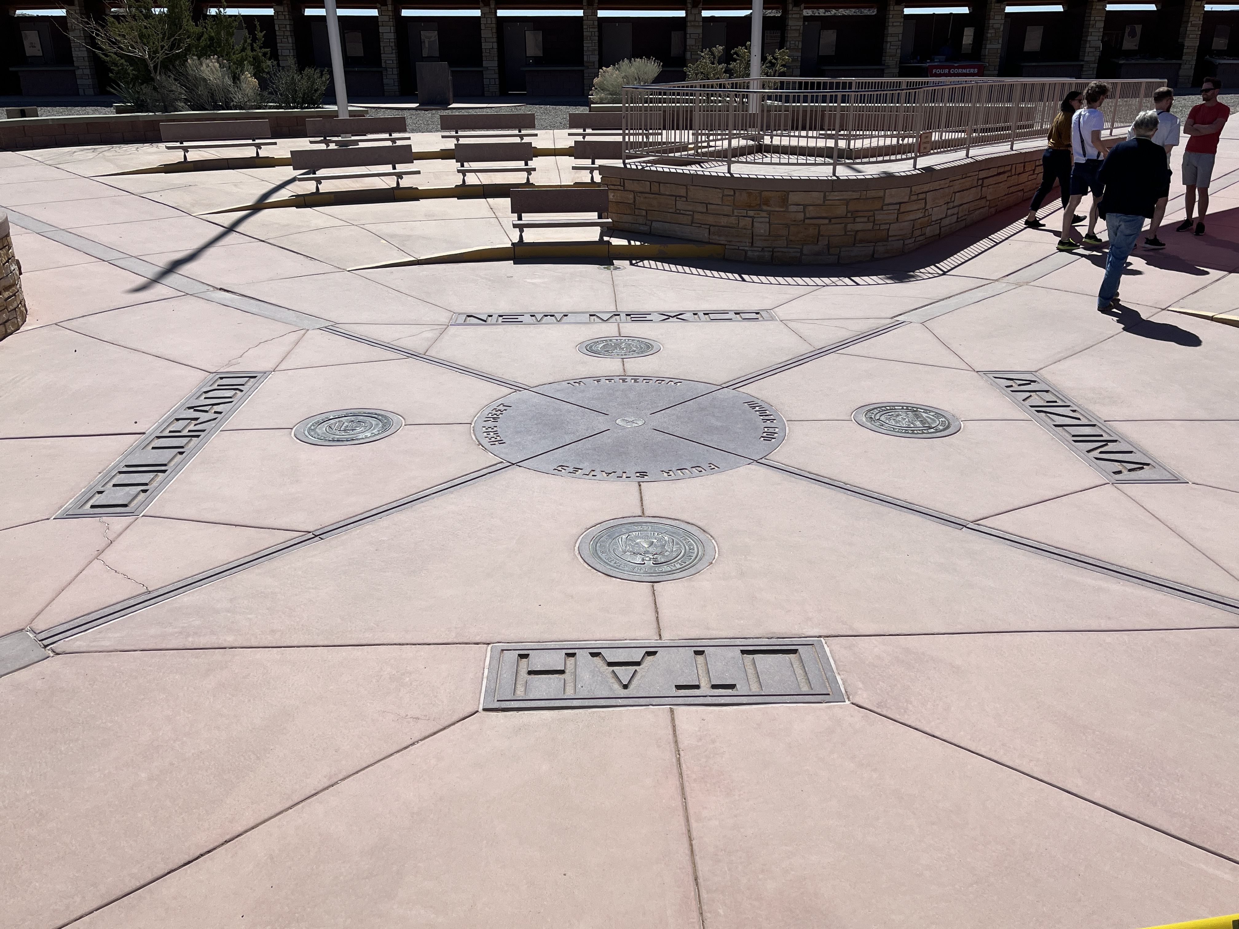
    Next stop, the Four Corners. This is the place where Arizona, Utah, Colorado & New Mexico all meet. It is marked with a plaza where you can walk between the four states or stand in two states or if you include your hands, like Barb, you can be in all four states at the same time (almost). You see, Arizona does not use daylight savings time & so you can also be a time traveler and be in multiple states at different times! The plaza is on Navaho land and as such an $8/person tribal fee is required to access the plaza which also contains many Navaho vendors selling all kinds of authentic goods. Enjoy the pictures.

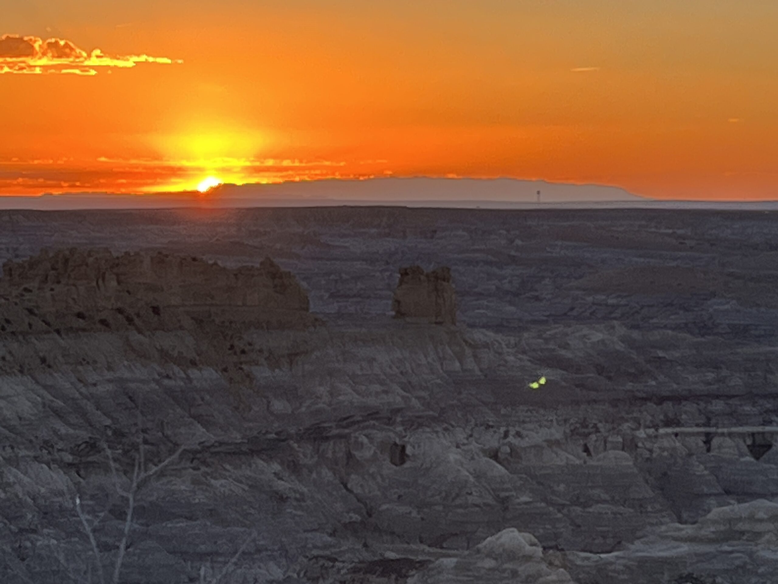
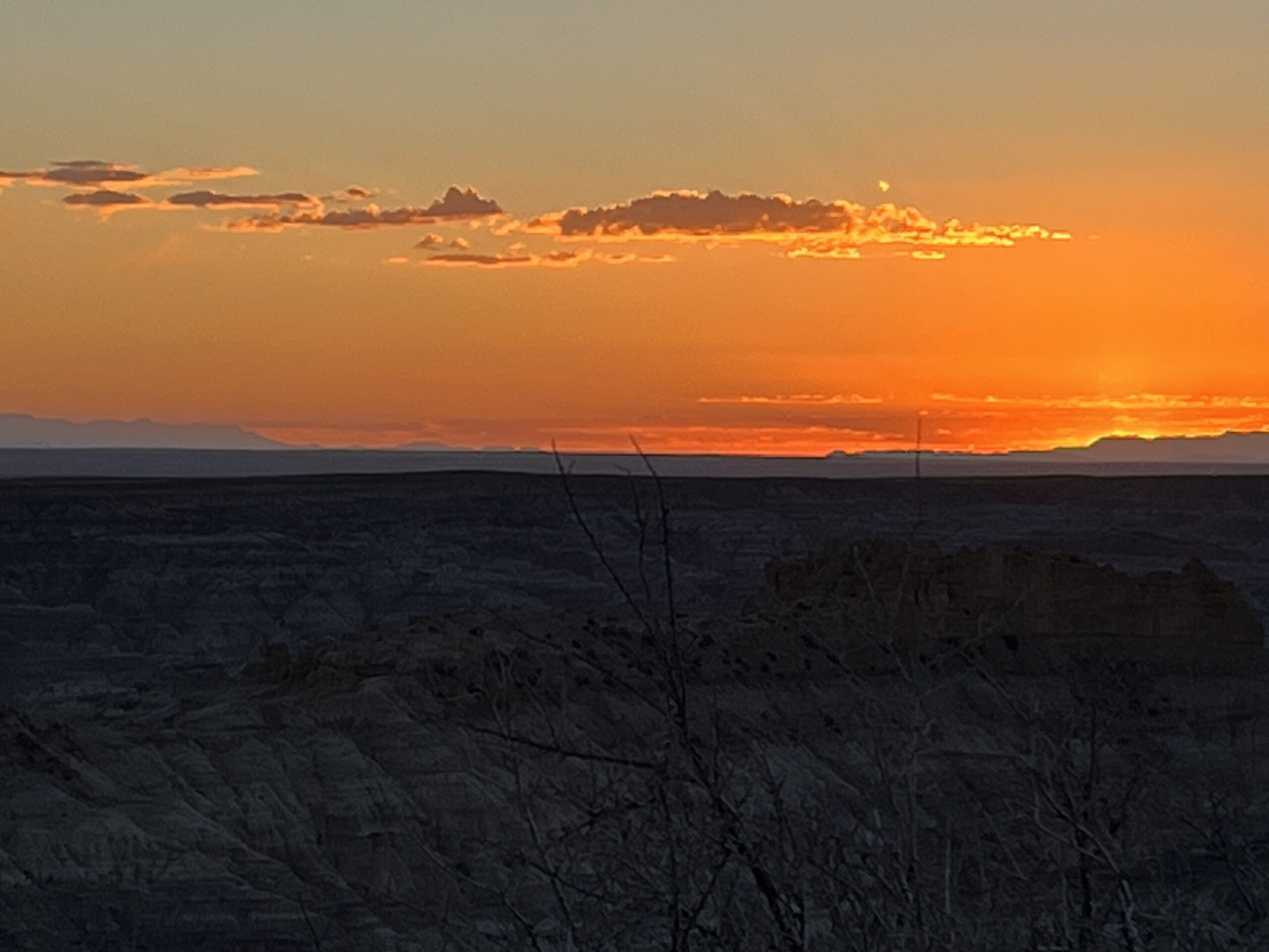
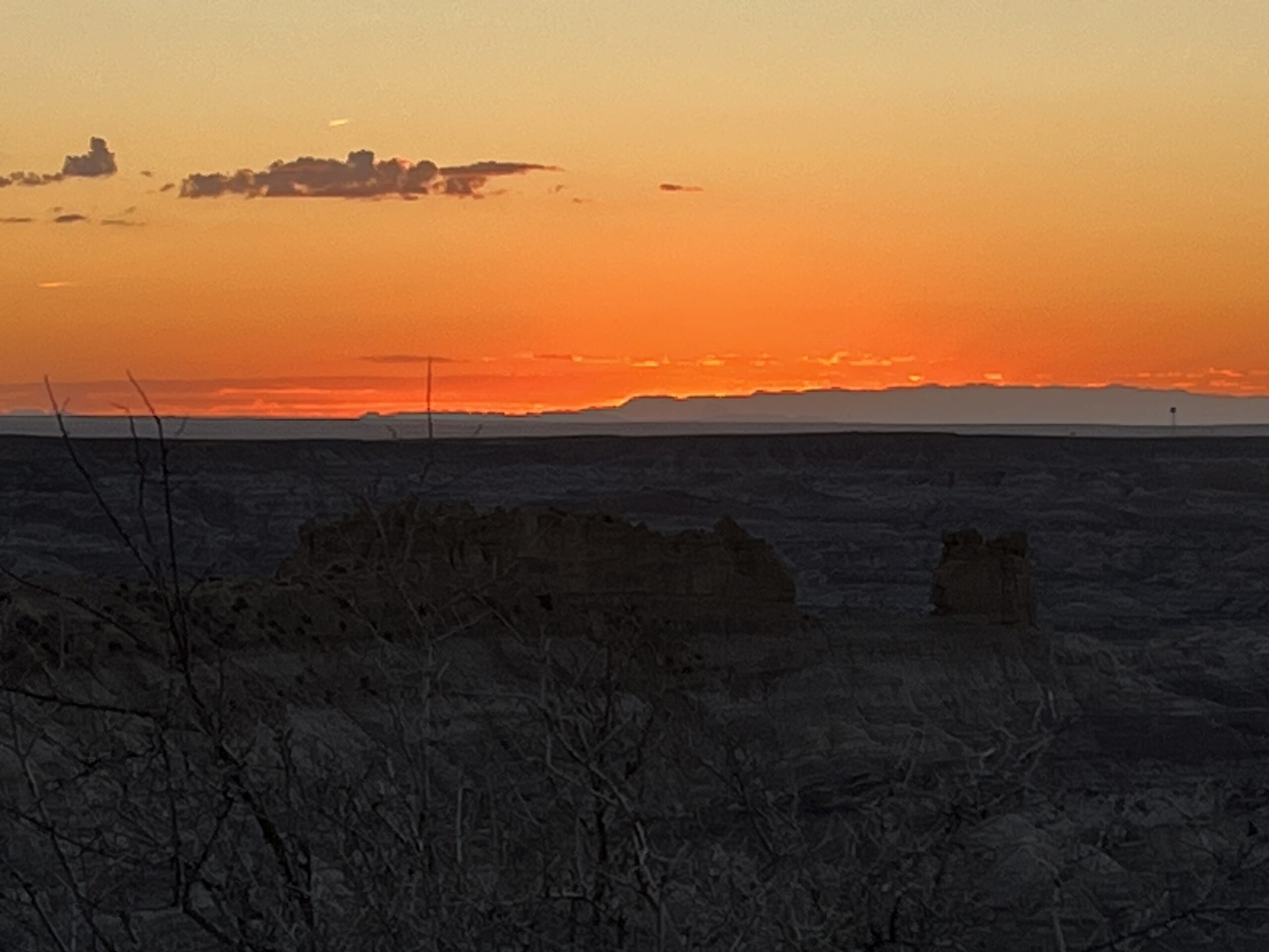
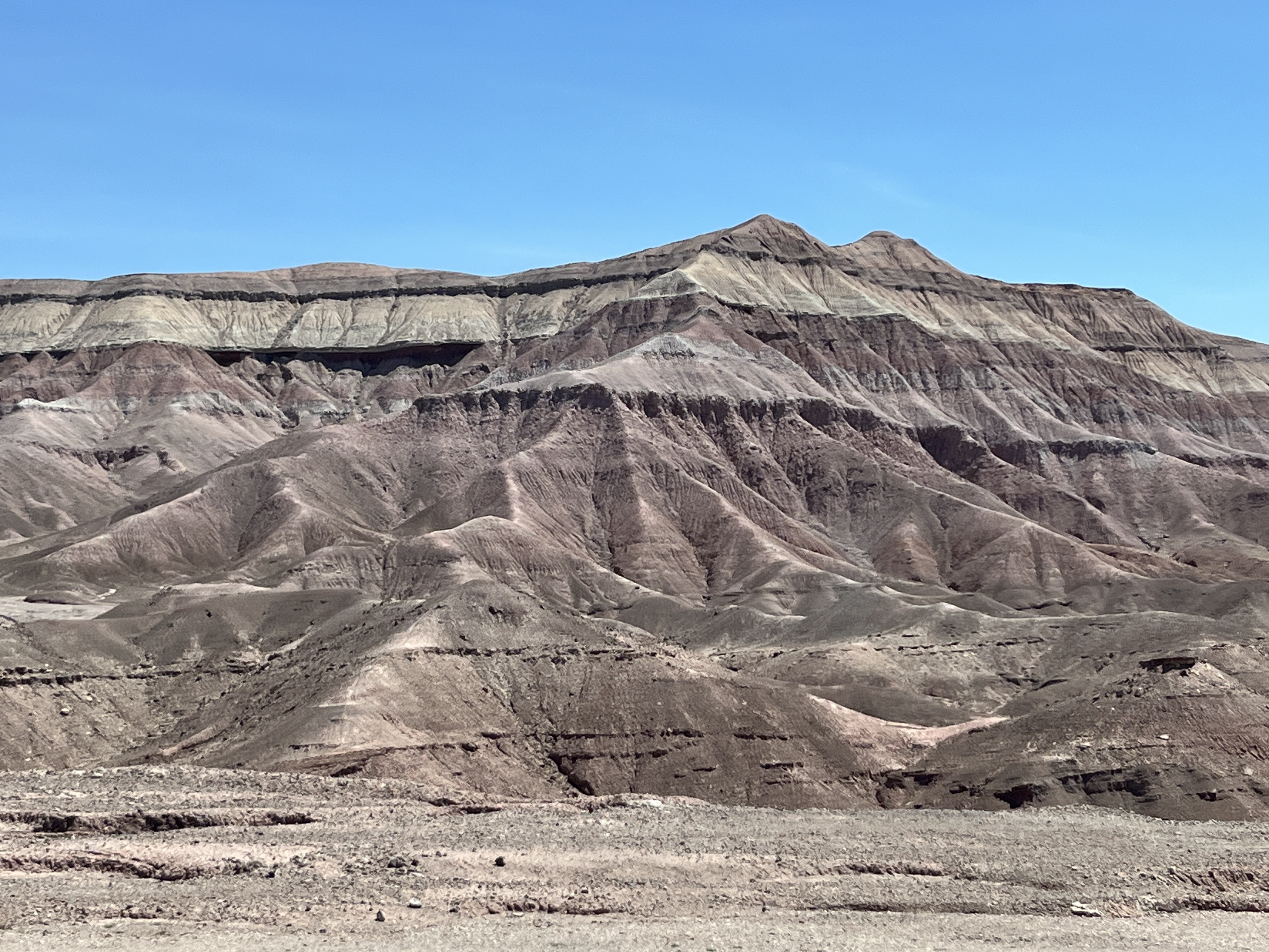
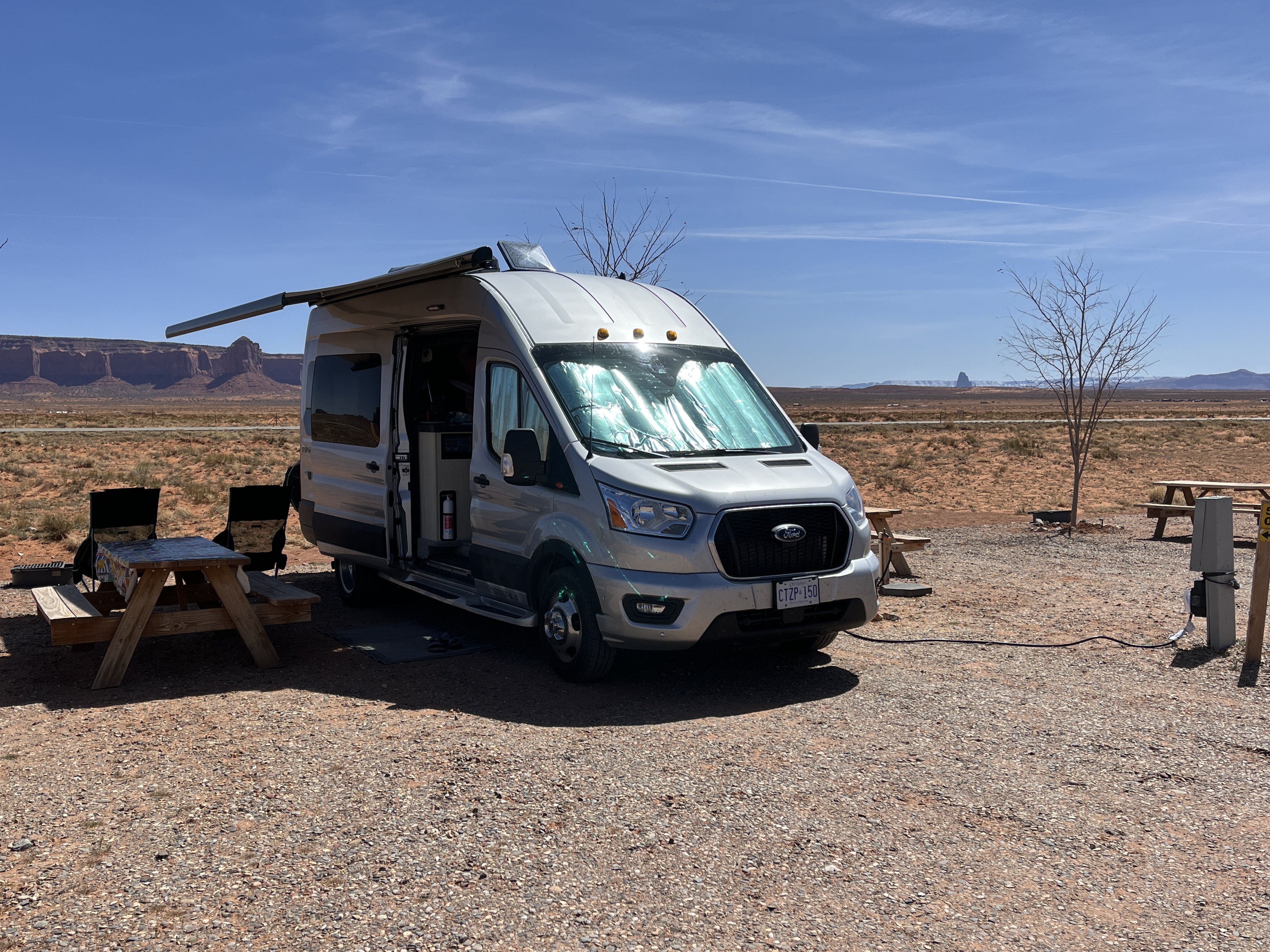
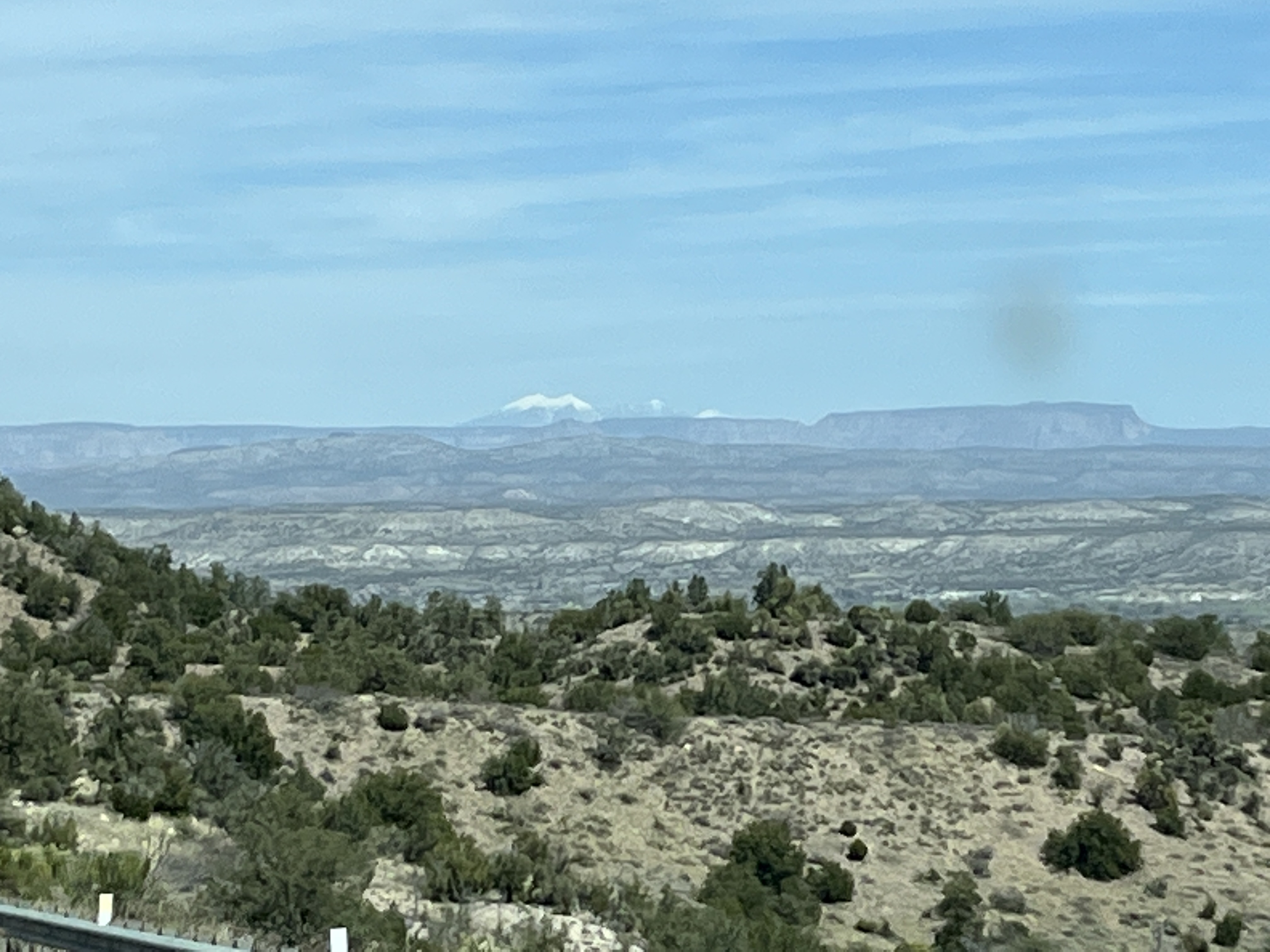
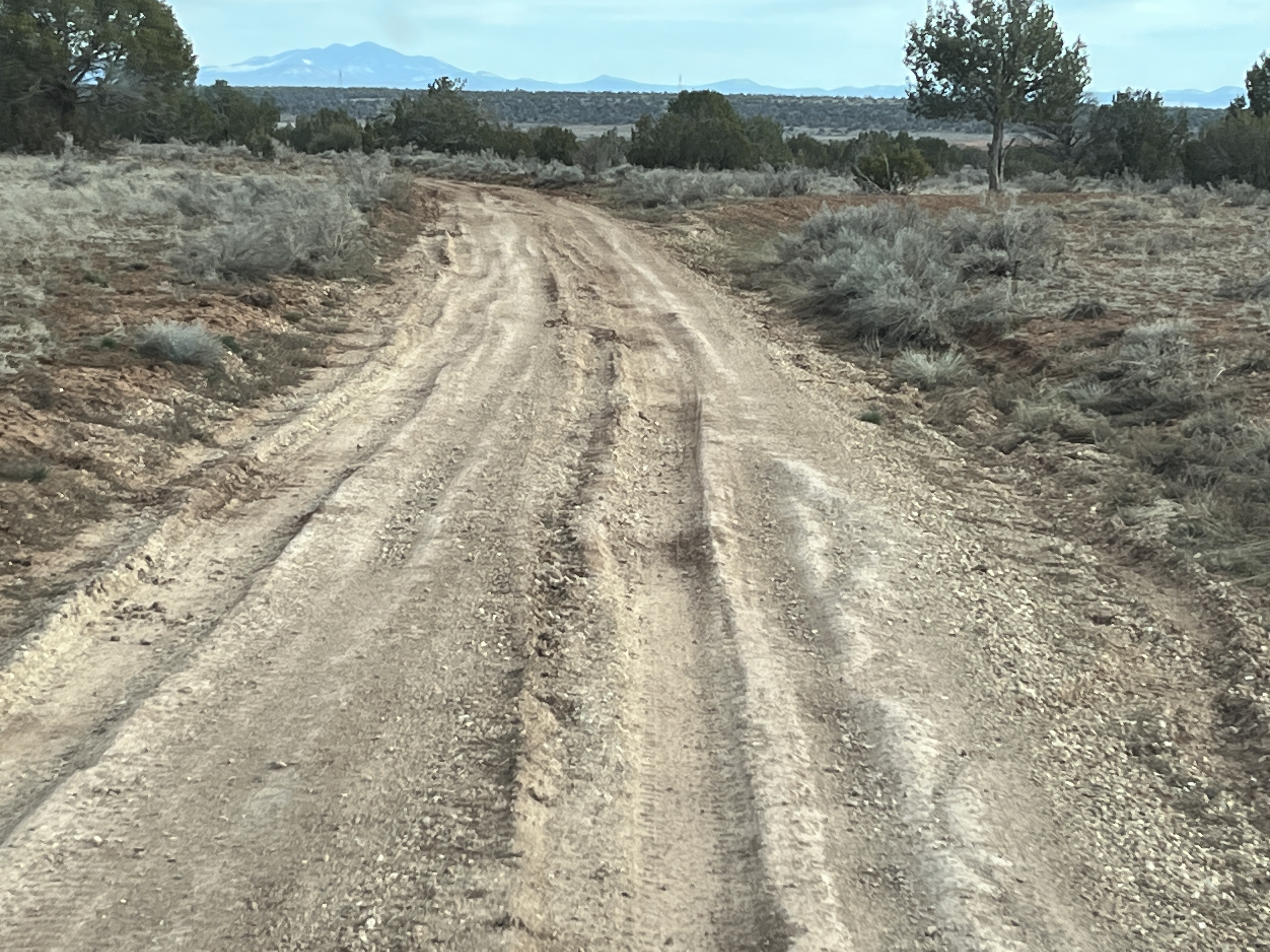
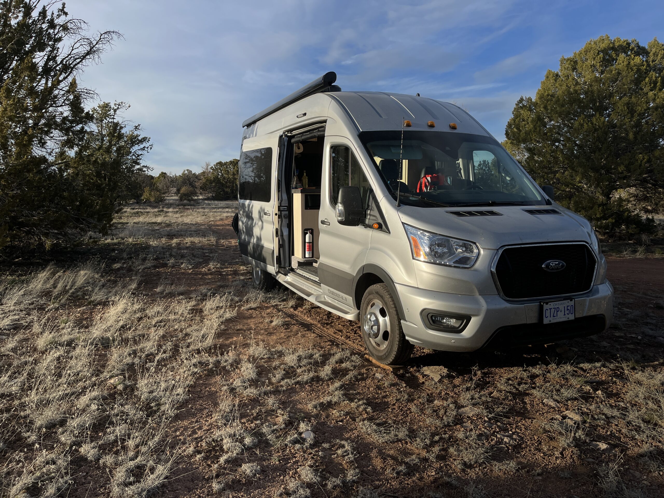
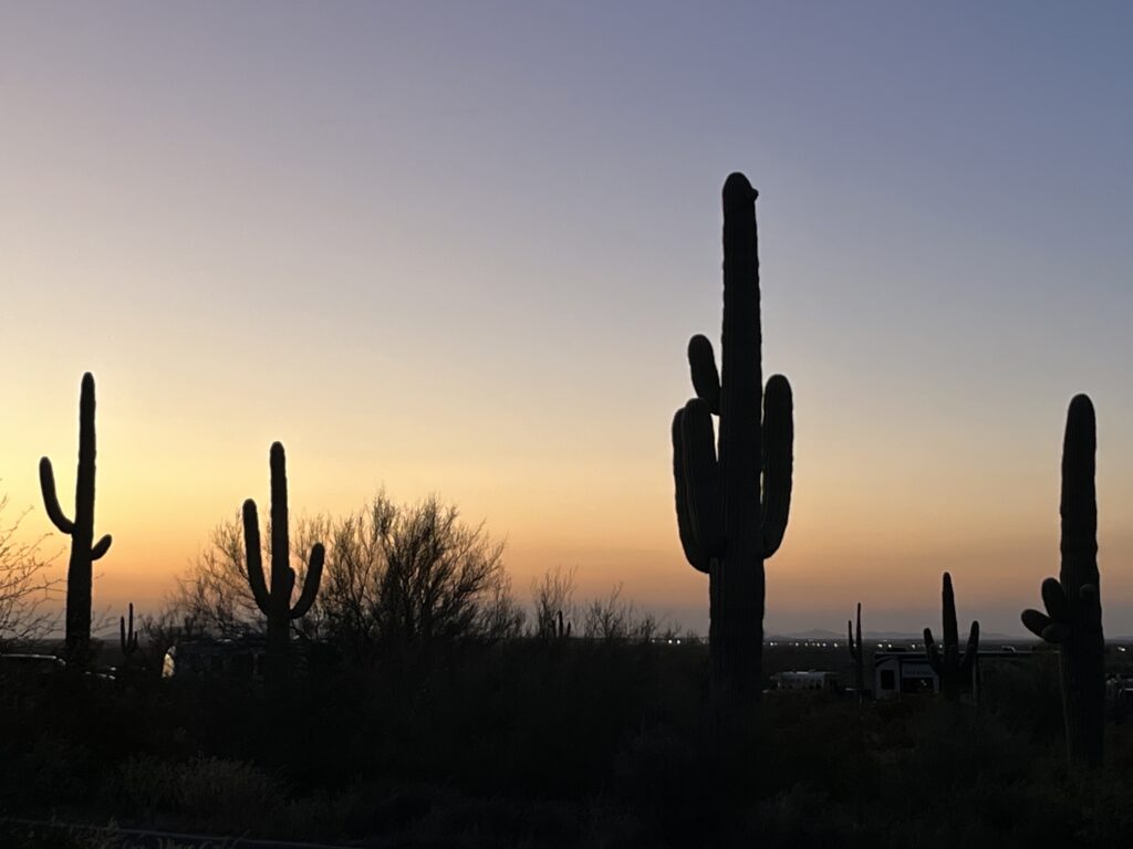
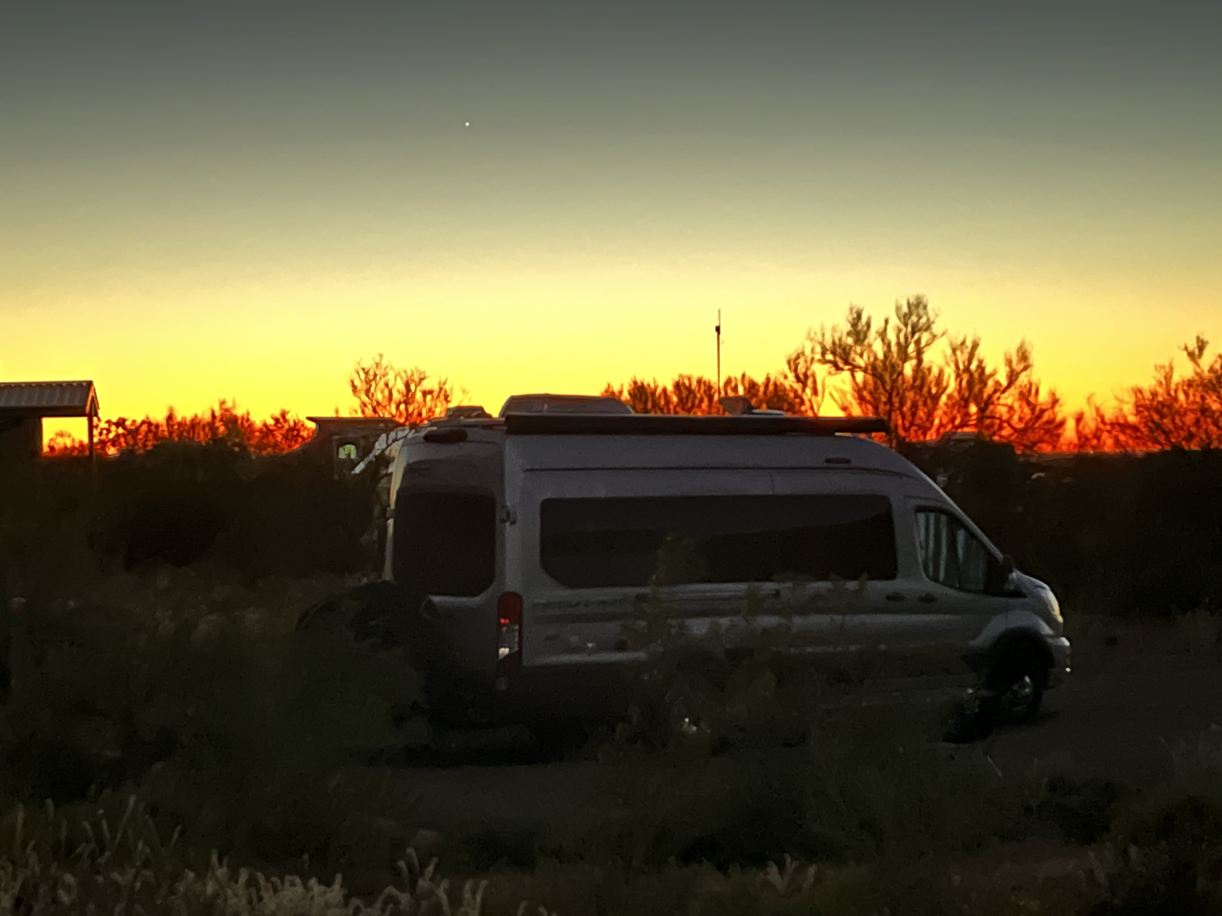
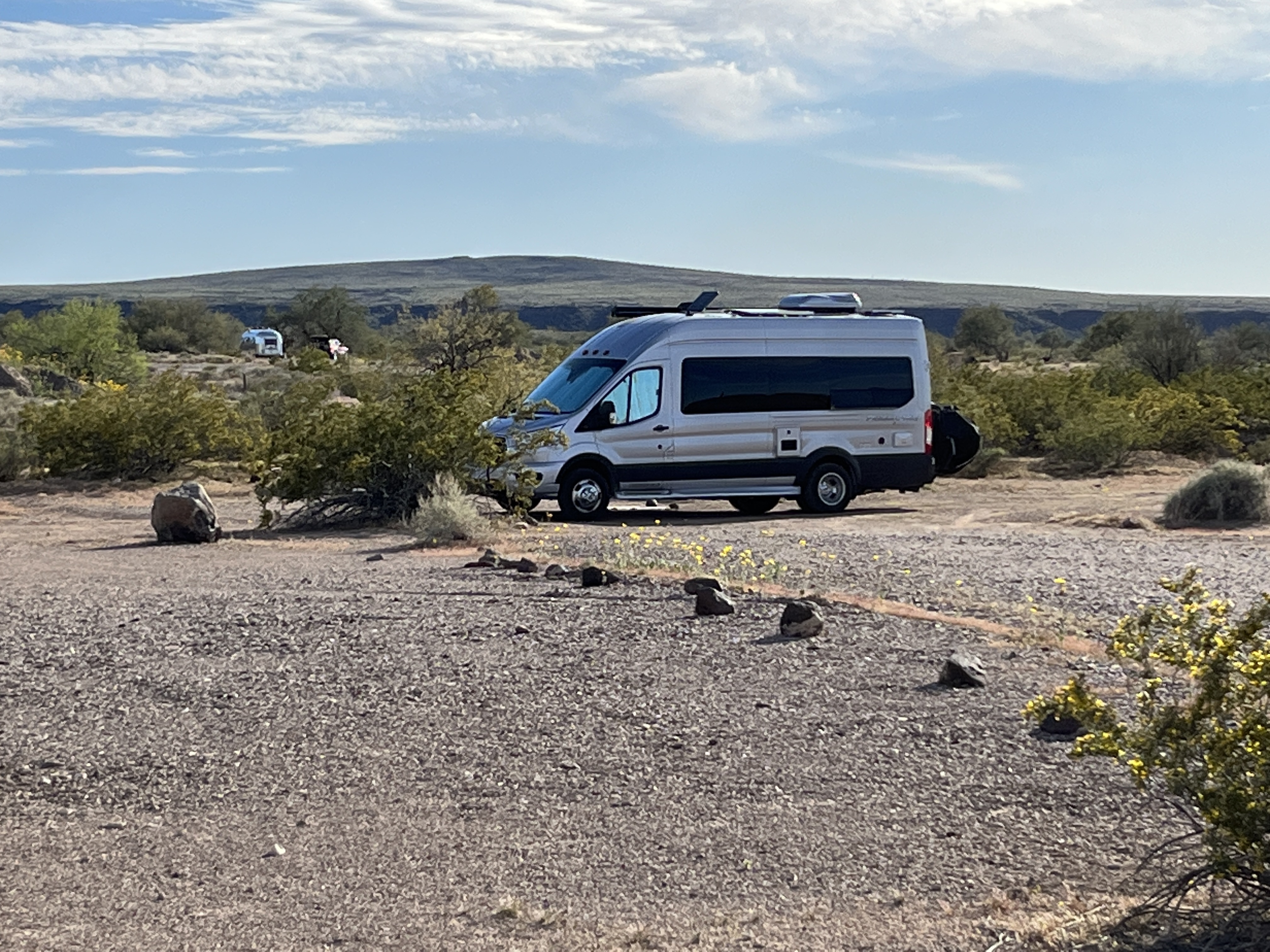
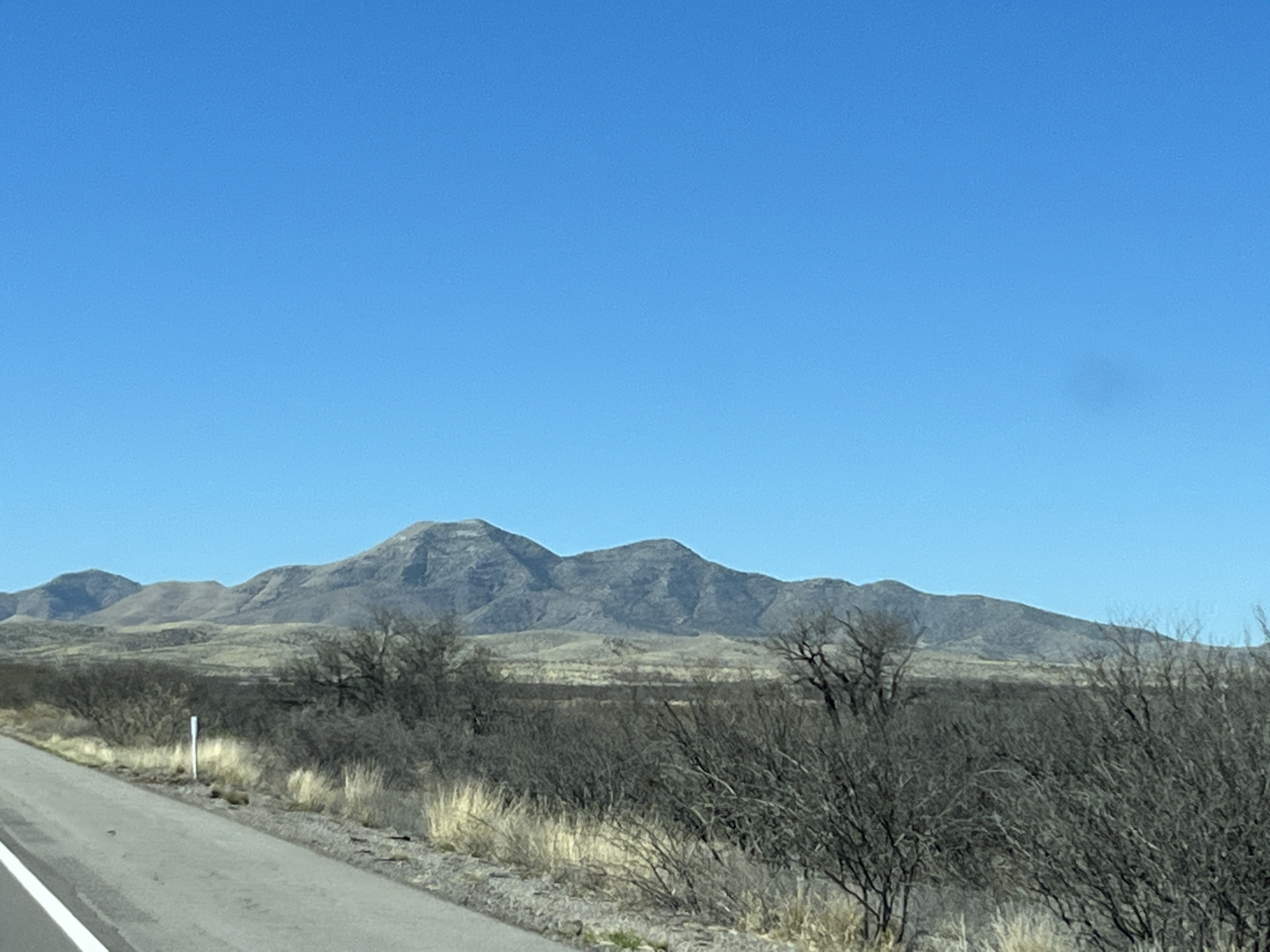
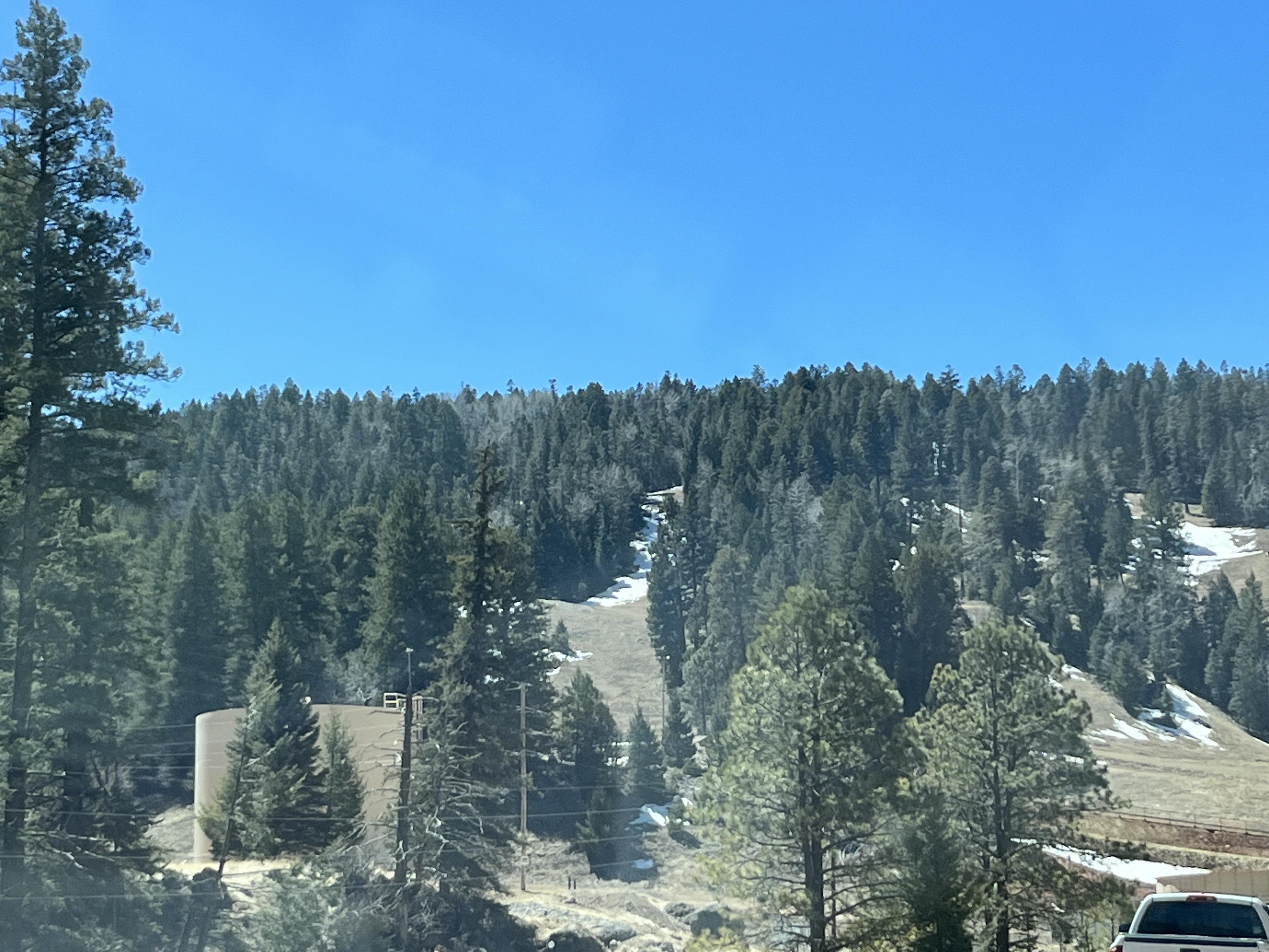
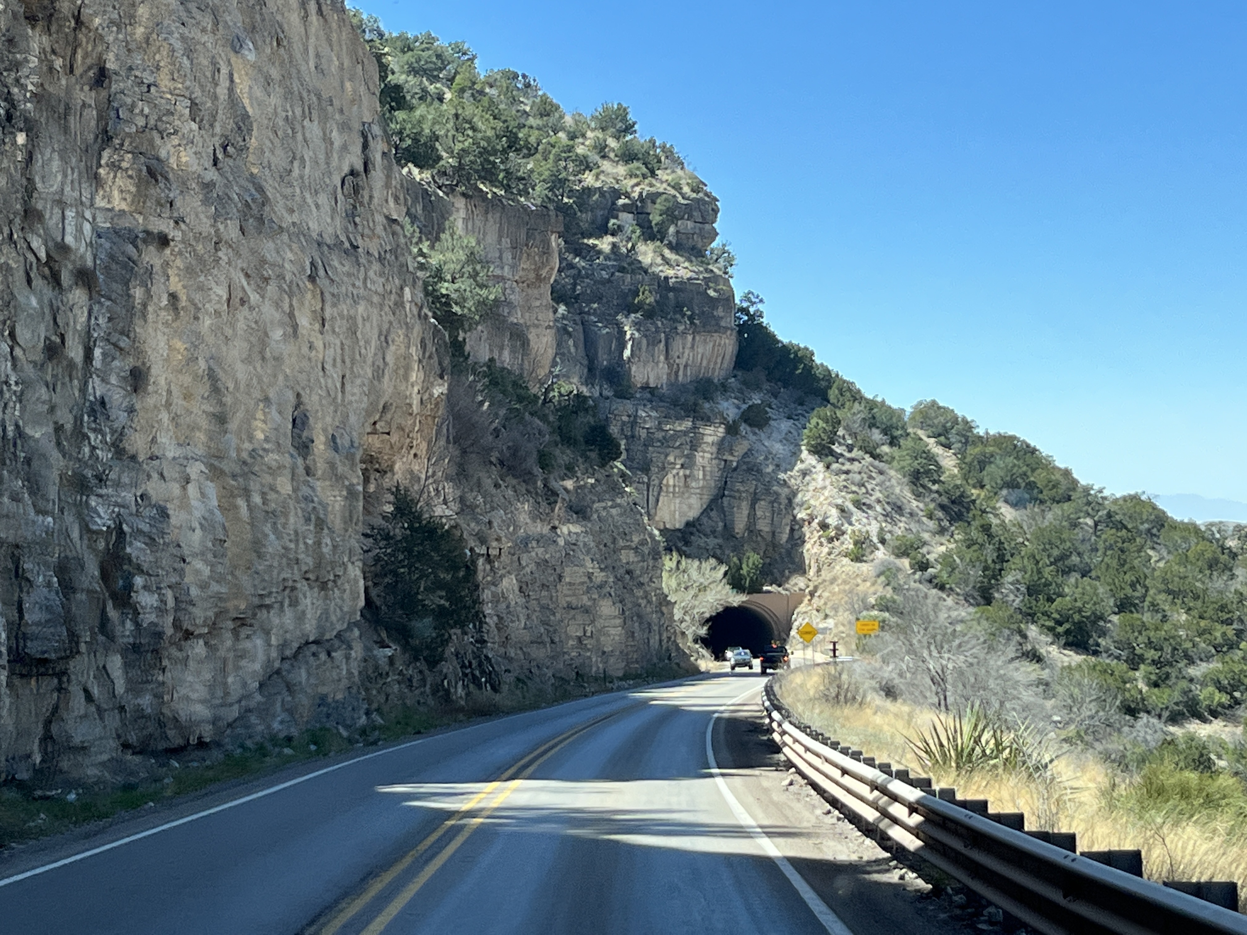
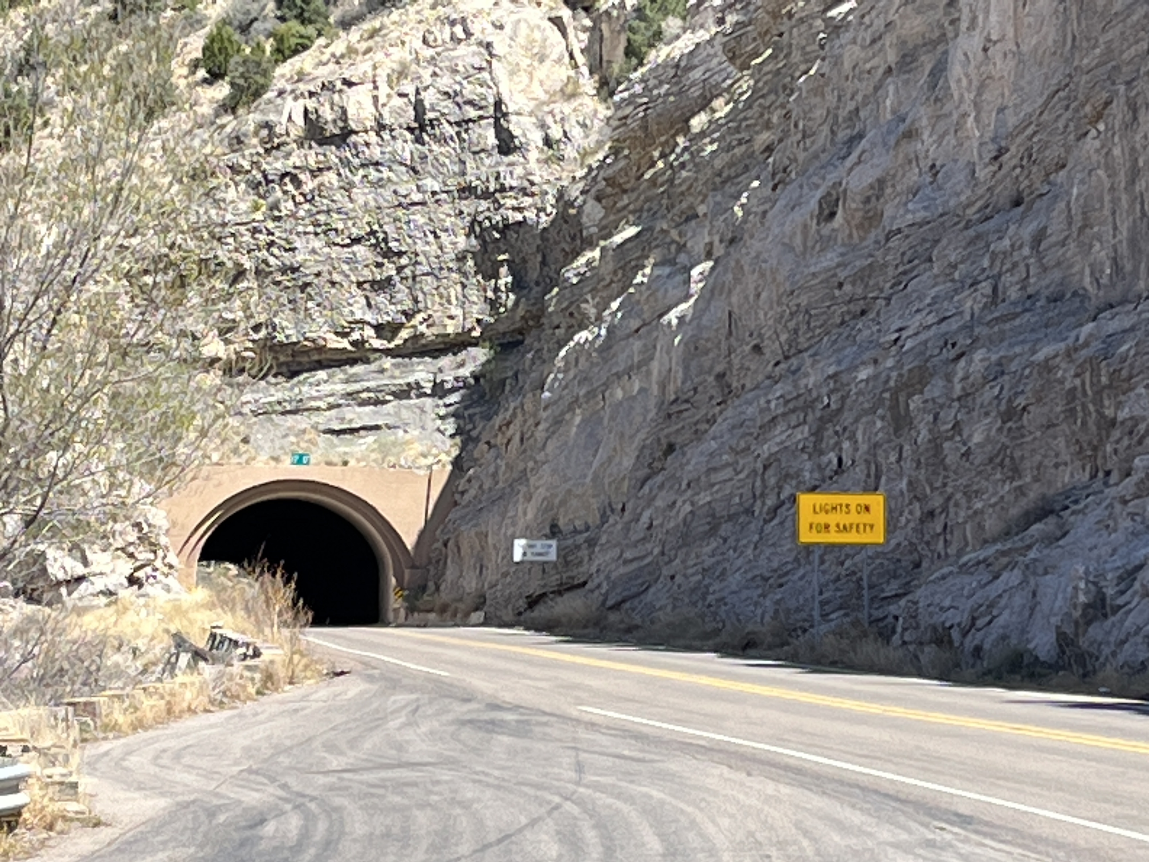
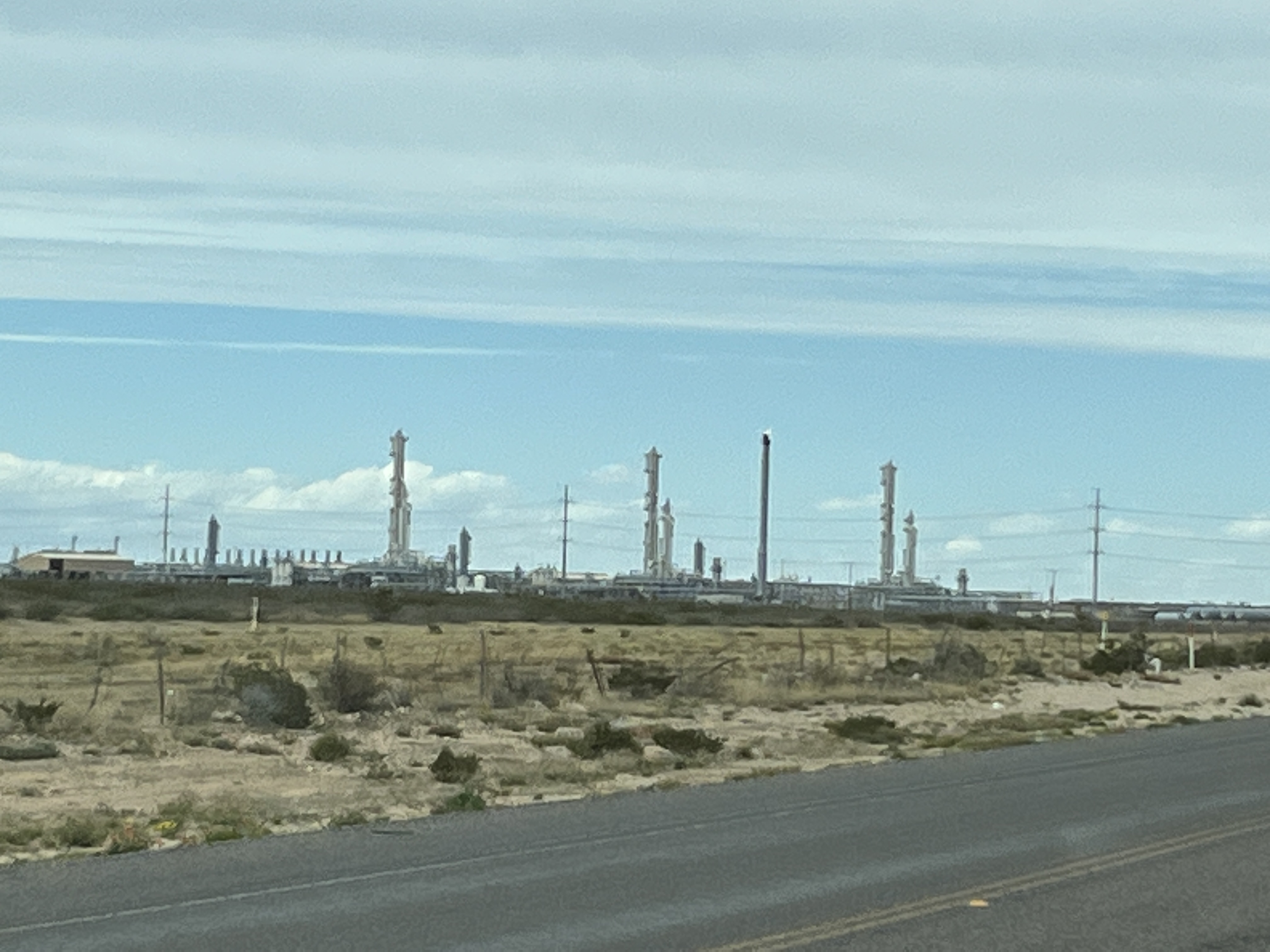
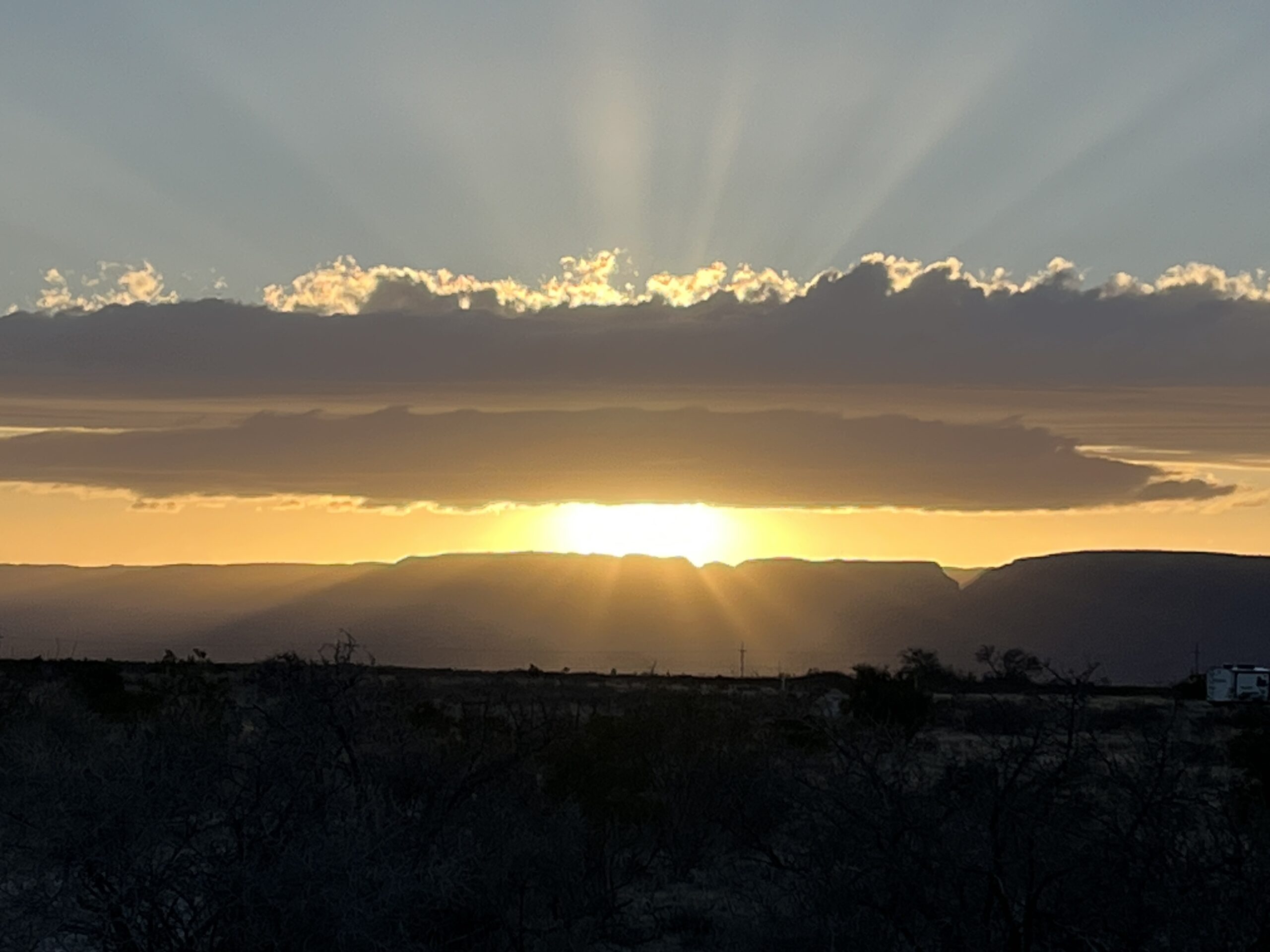
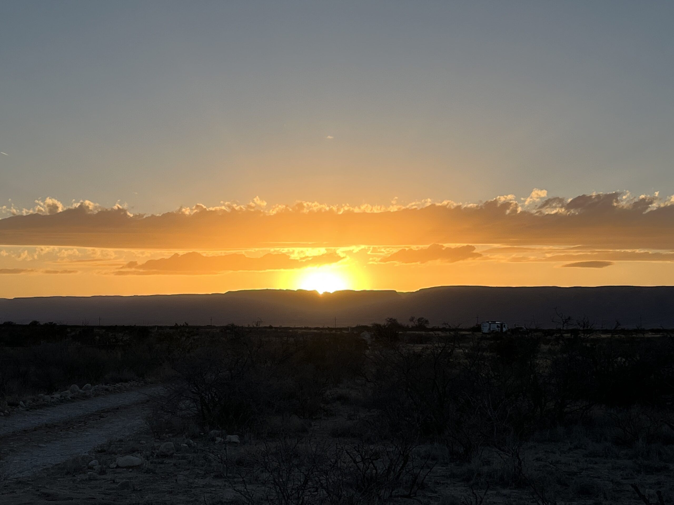
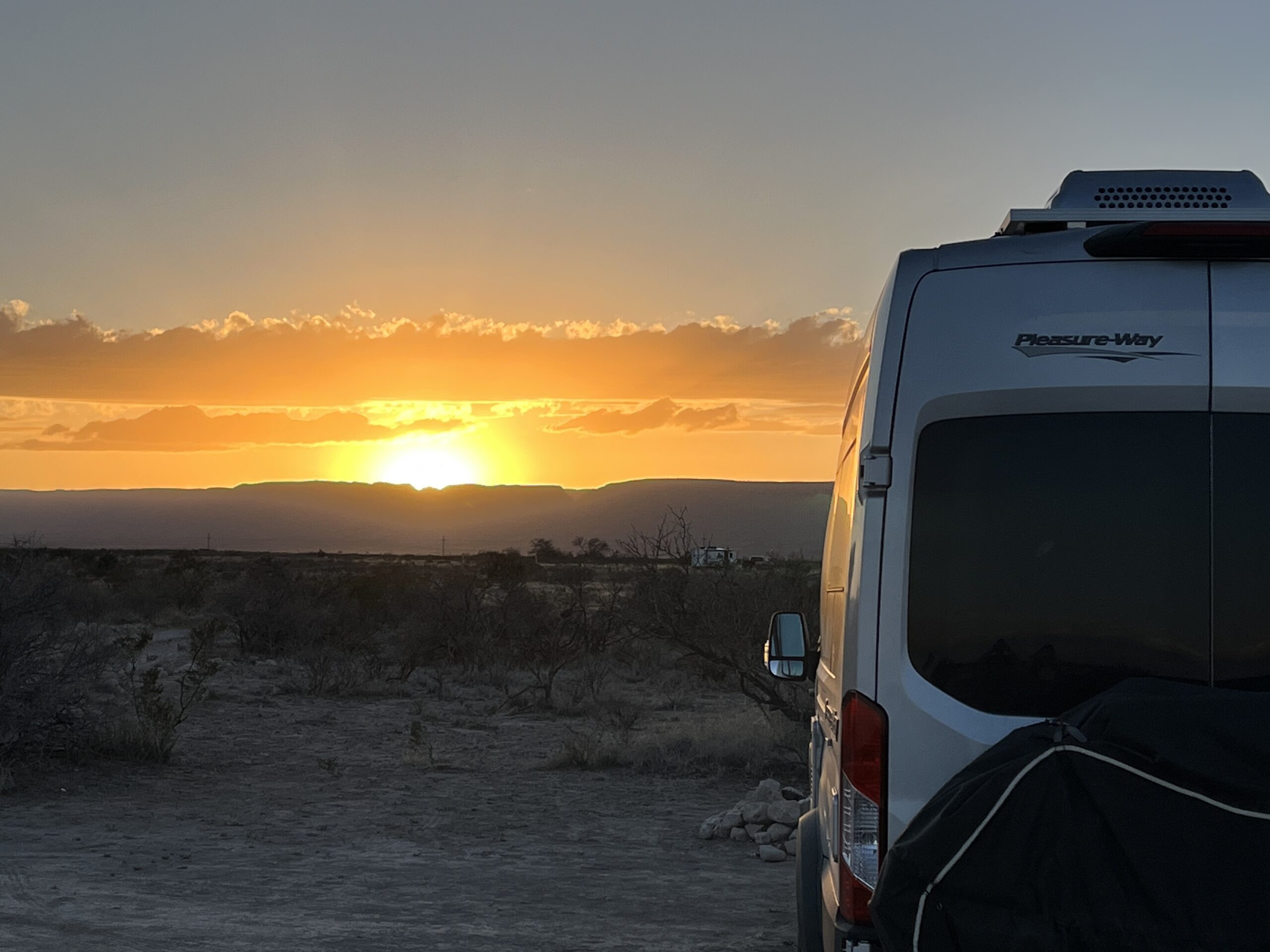
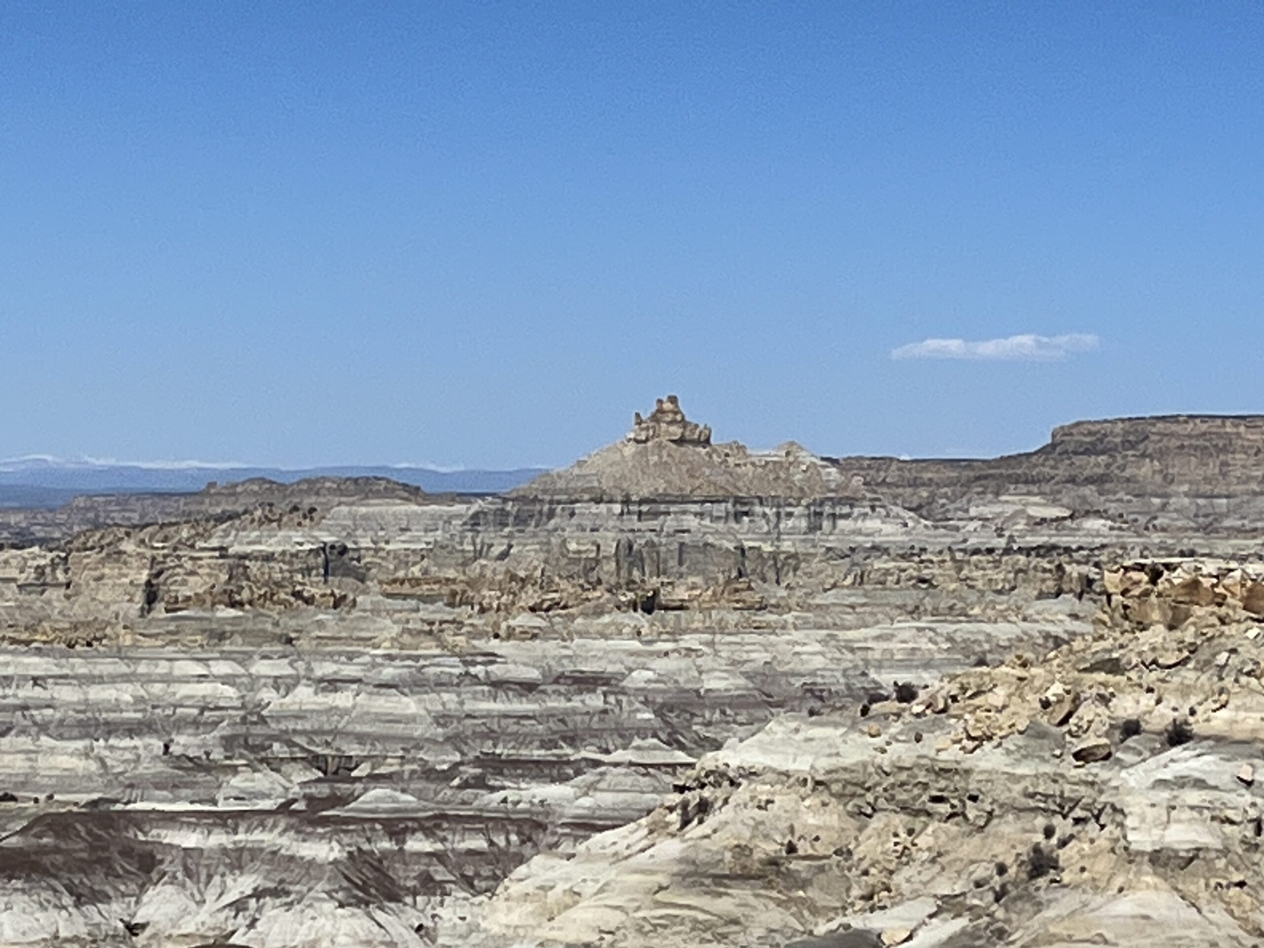
    Leaving the Four Corners we drove South and reconnected with the US-64E towards Farmington, NM and then onto Bloomfield, NM where we turn SE towards our stop for the night, Angels Peak, NM. This is a BLM night and so we will have to hope that we can find a nice spot. Oh, were we lucky. We found a quiet corner of one of the picnic areas that overlooks the Angels Peak Badlands & for the first time on this trip we snagged a gazebo under which to eat our meals! Bonus.

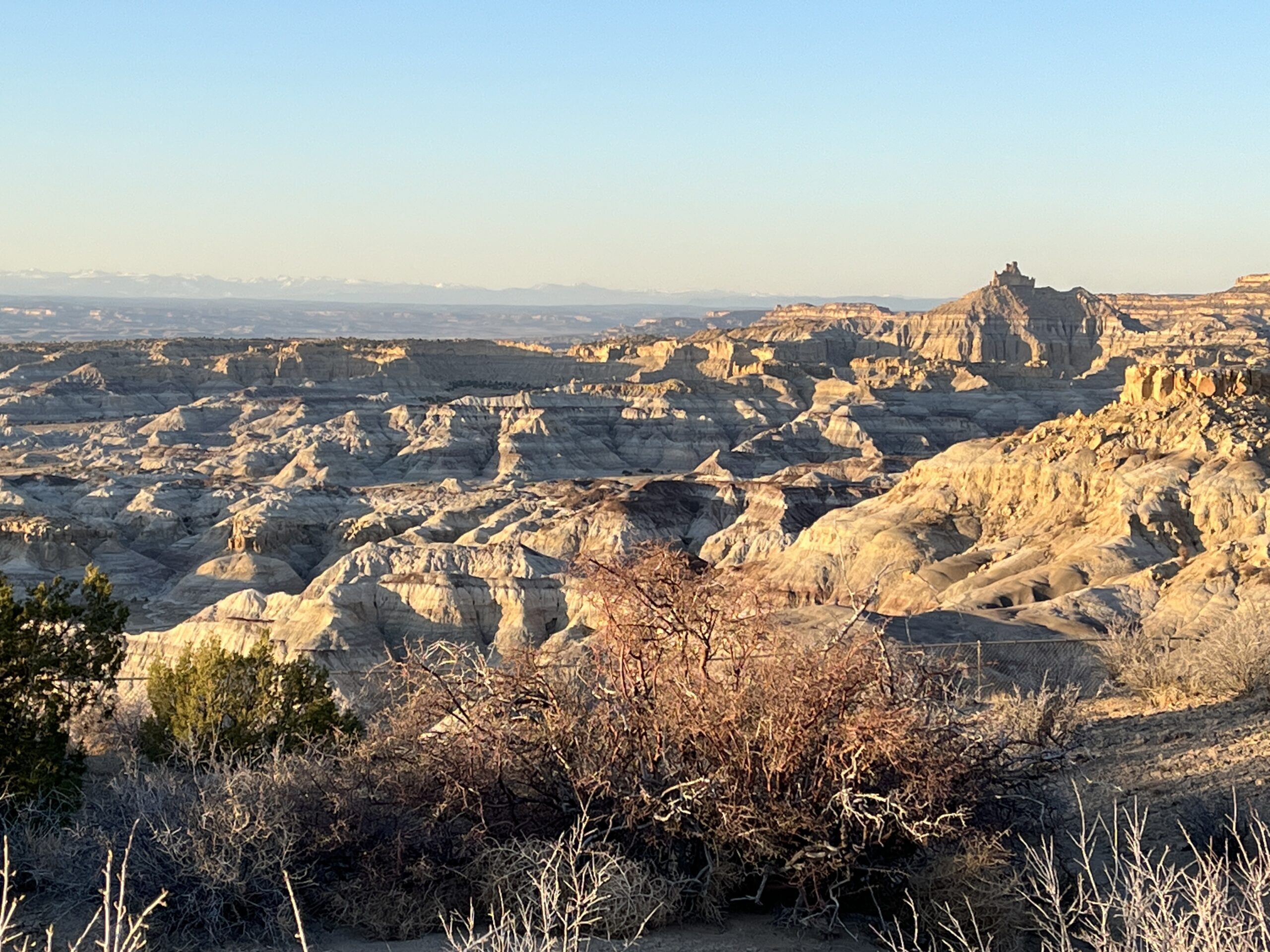
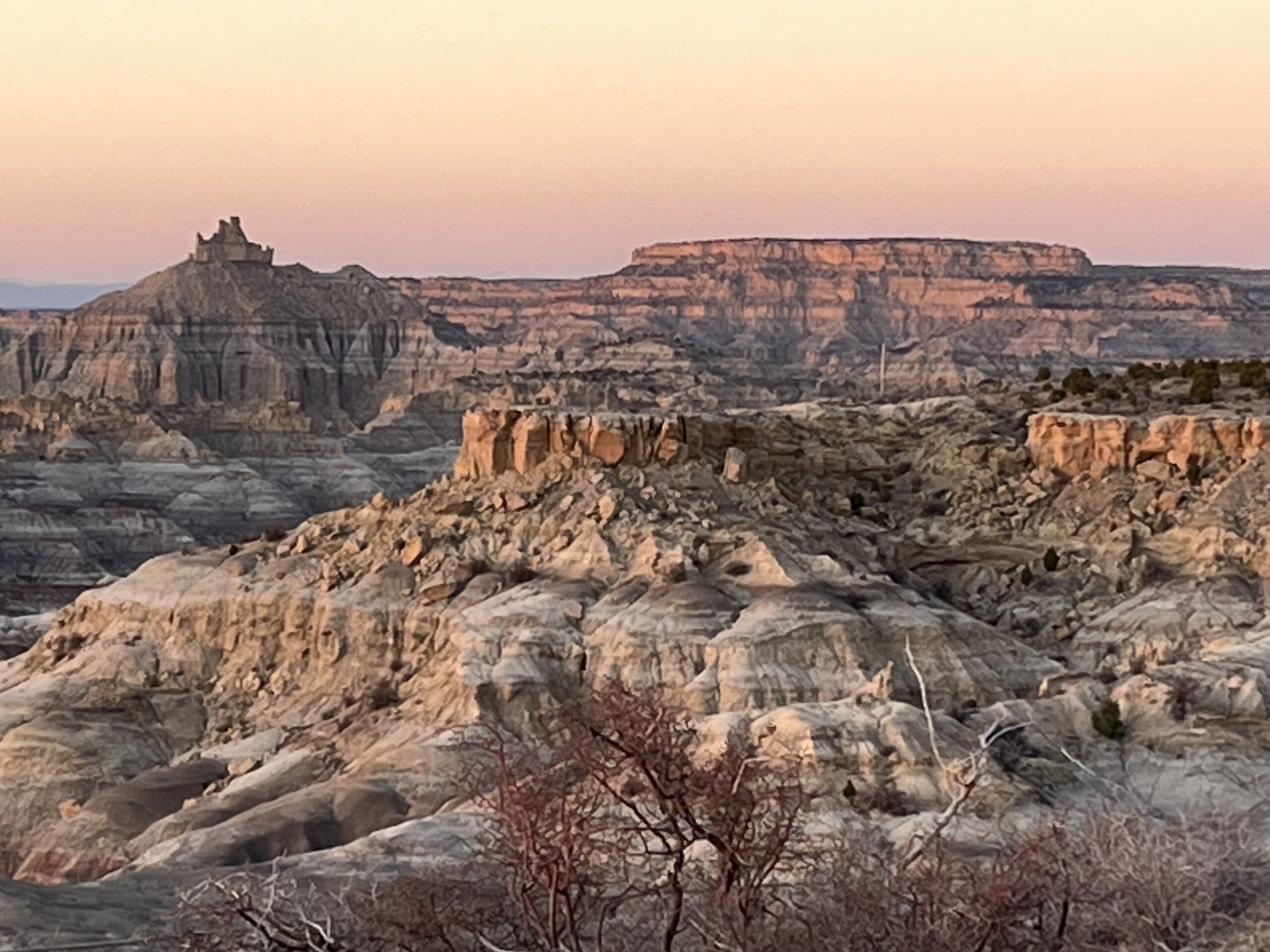
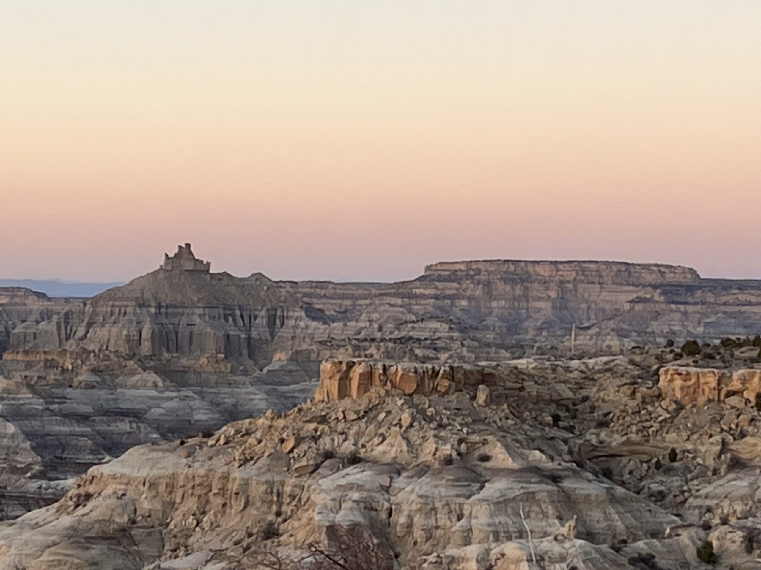
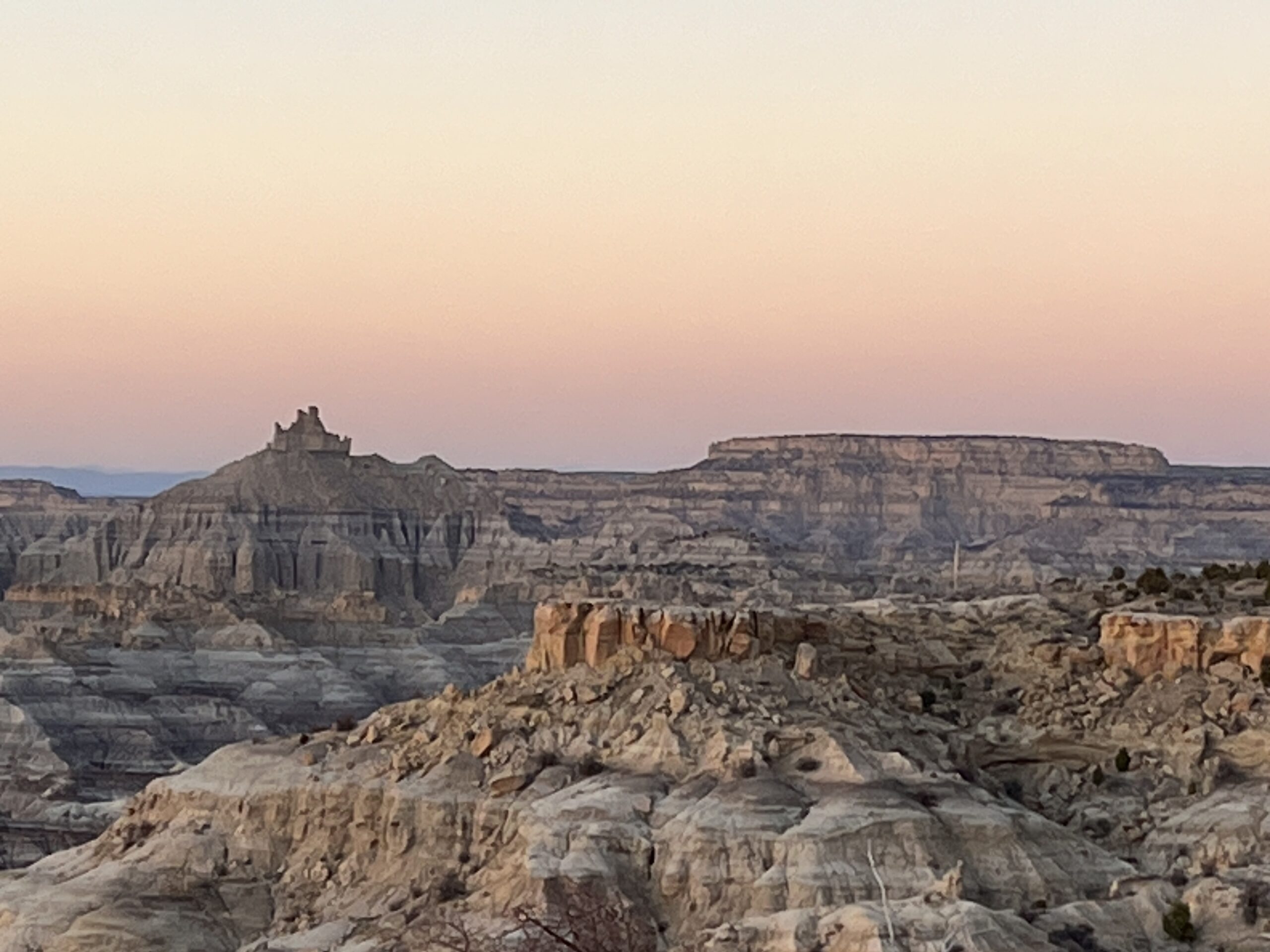
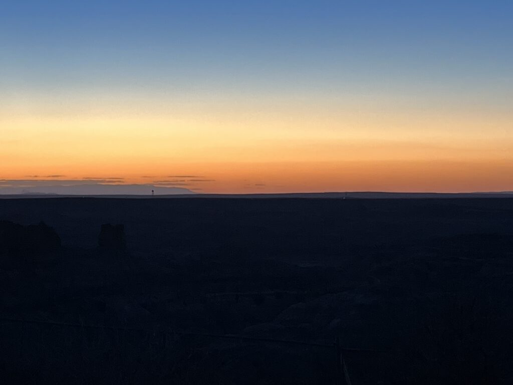
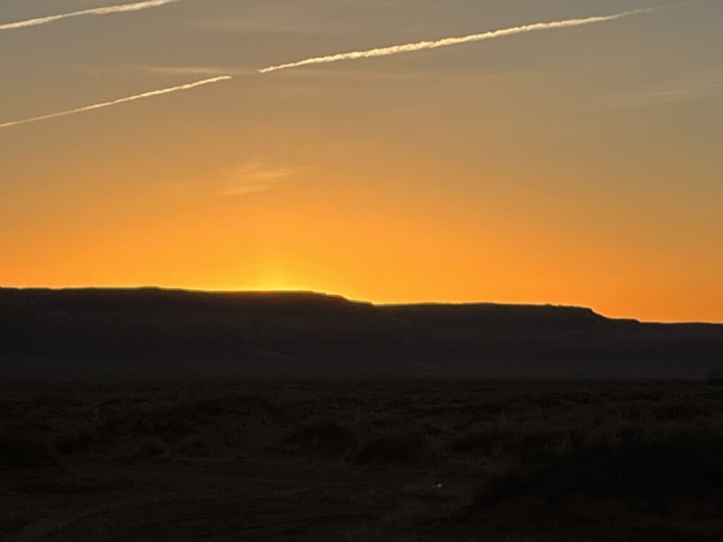
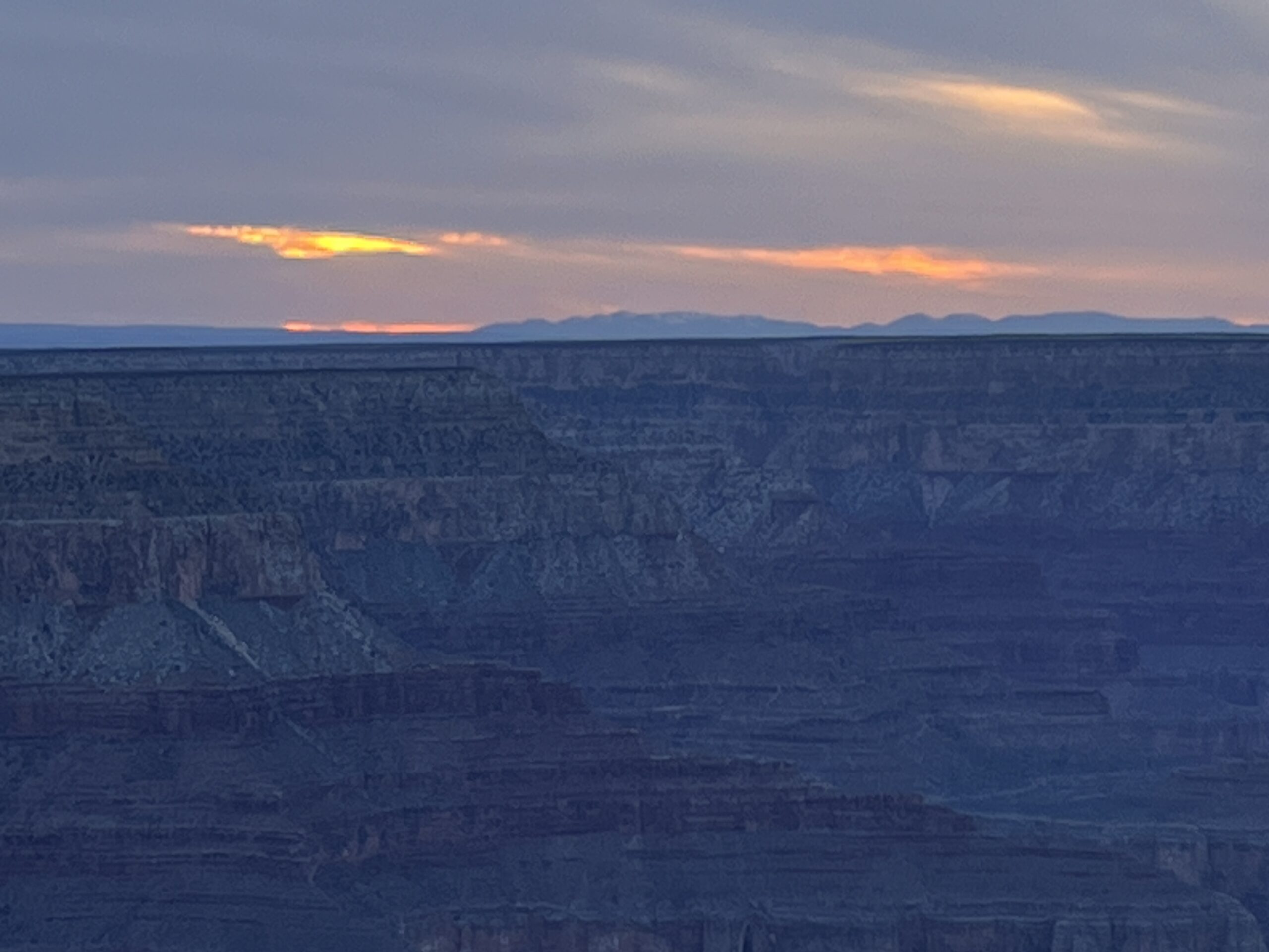
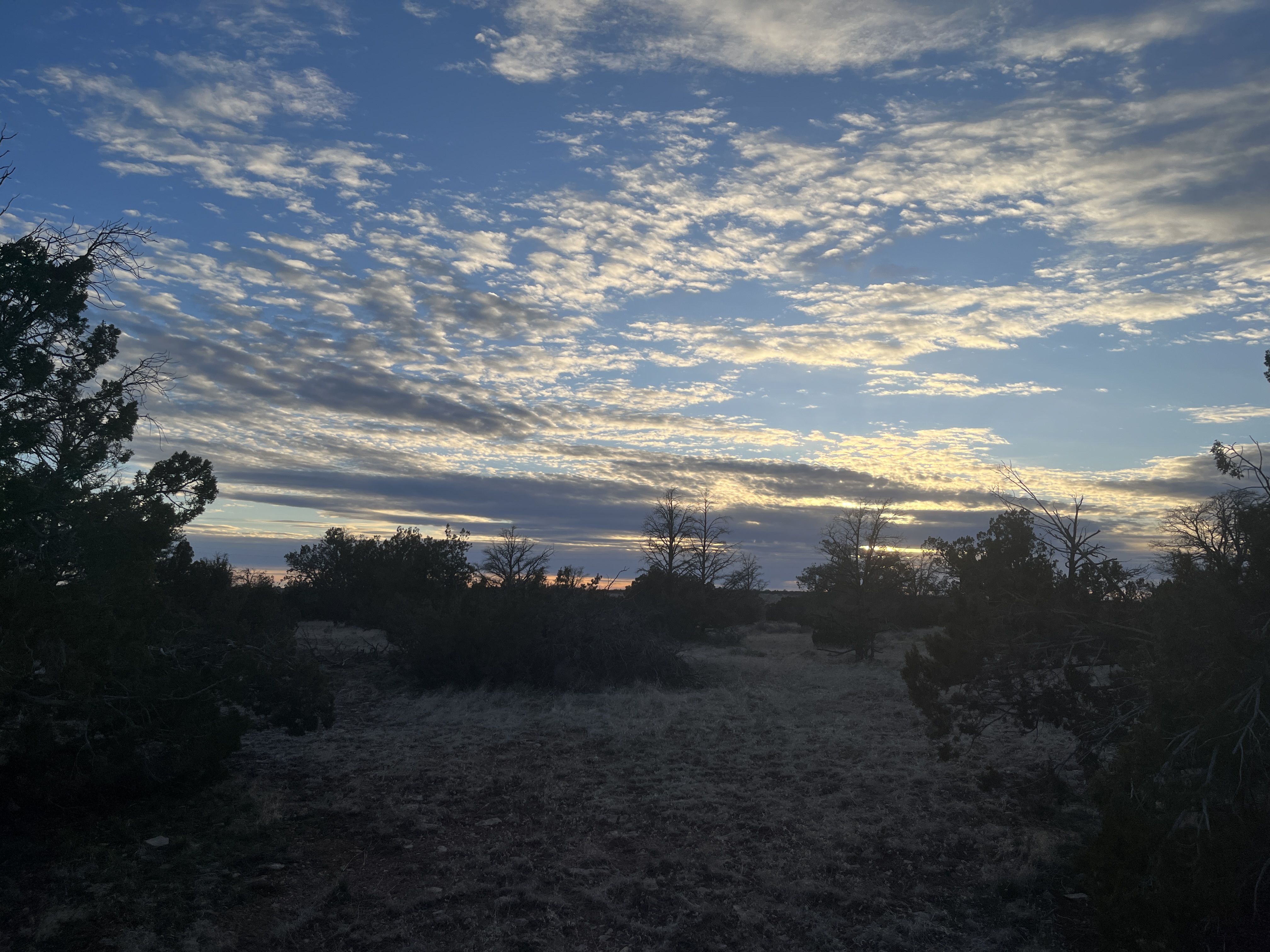
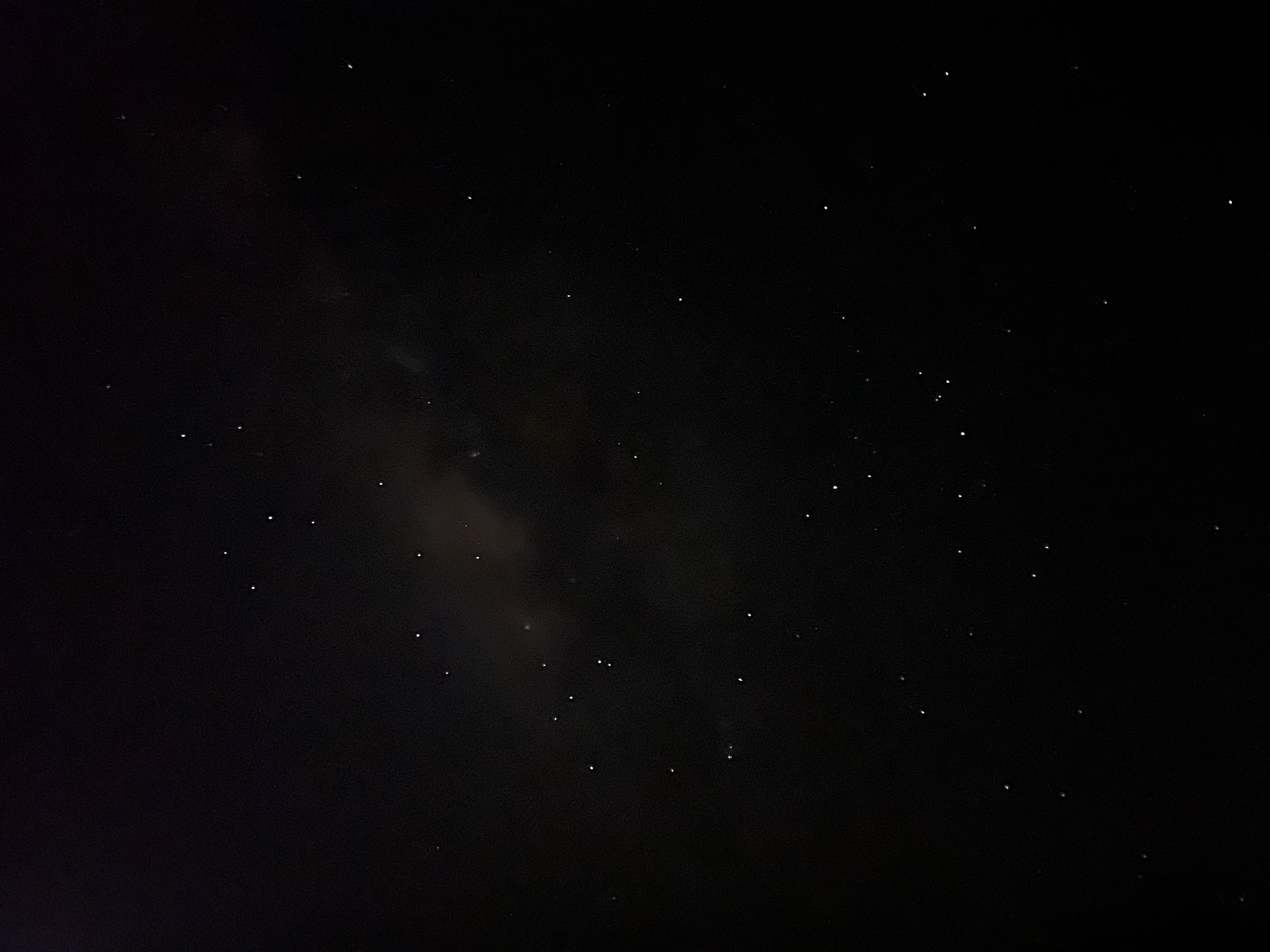
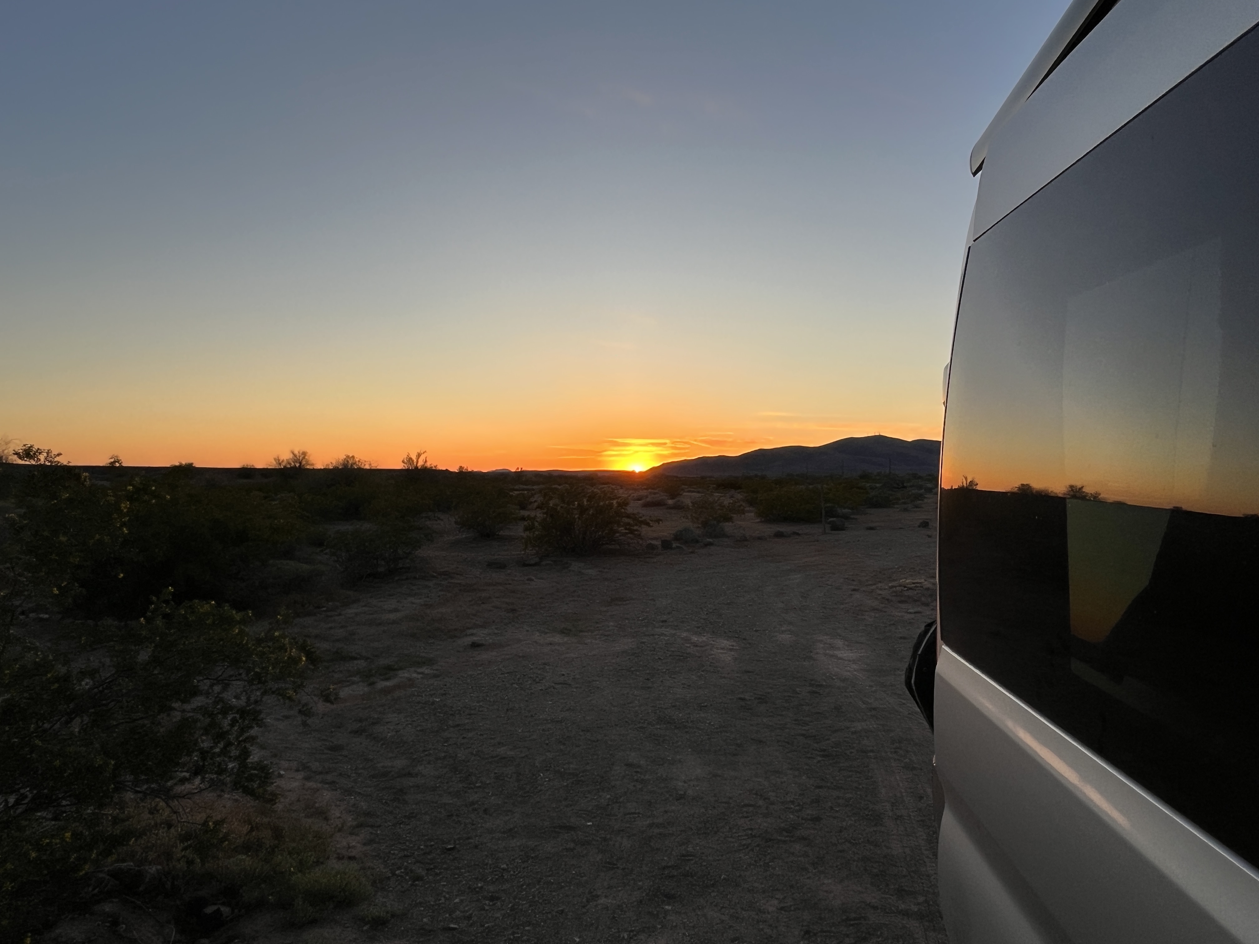
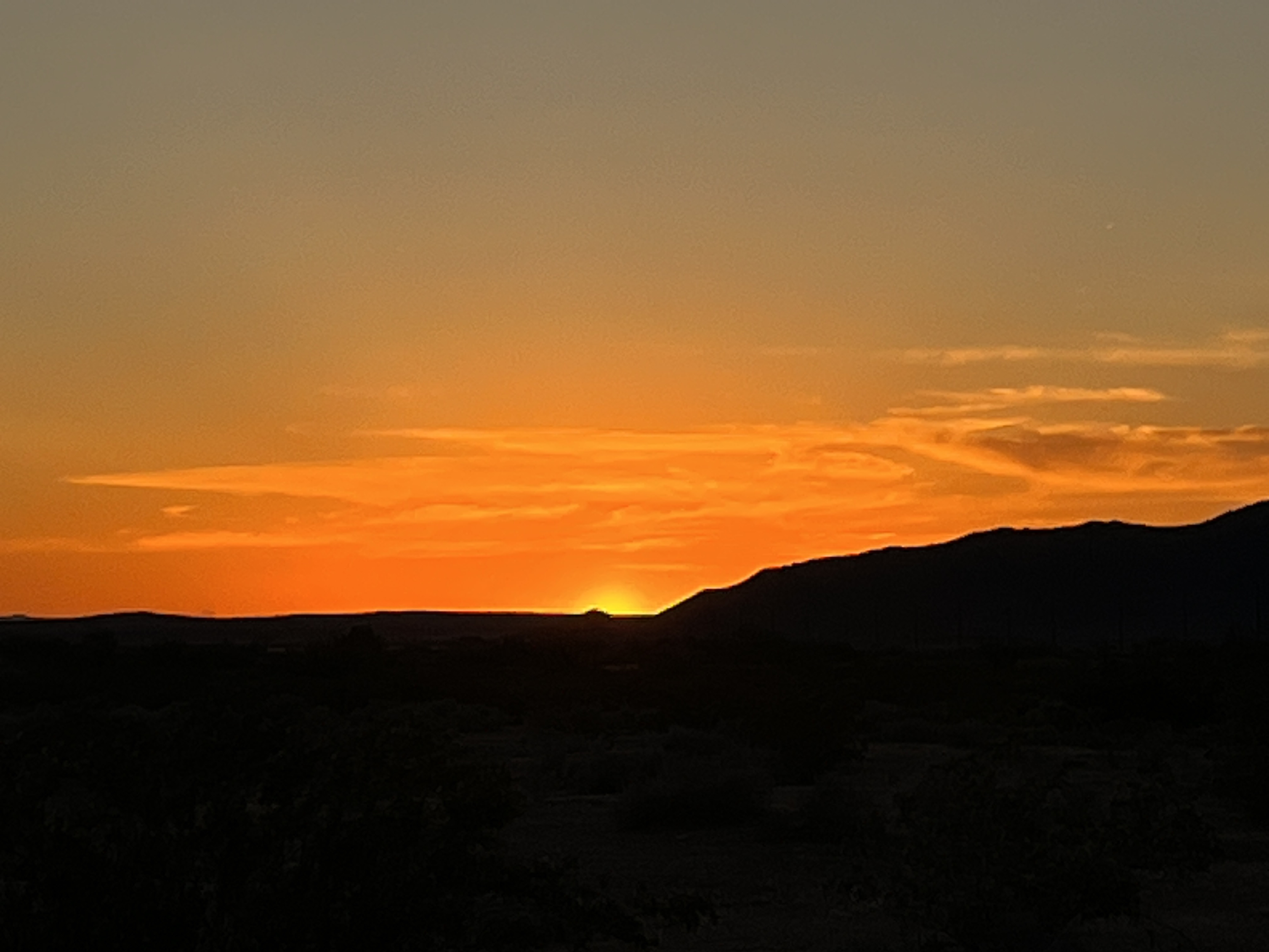
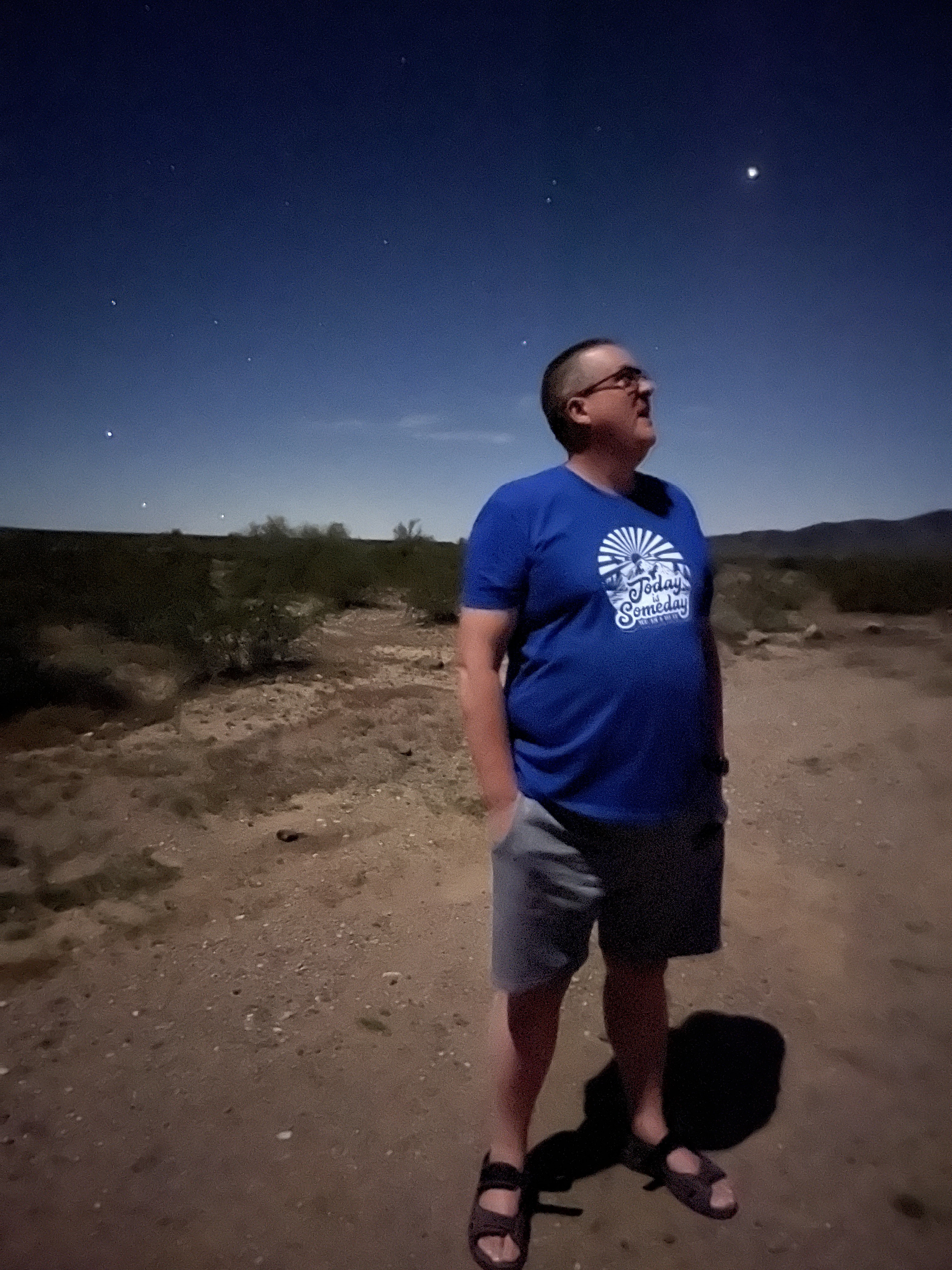
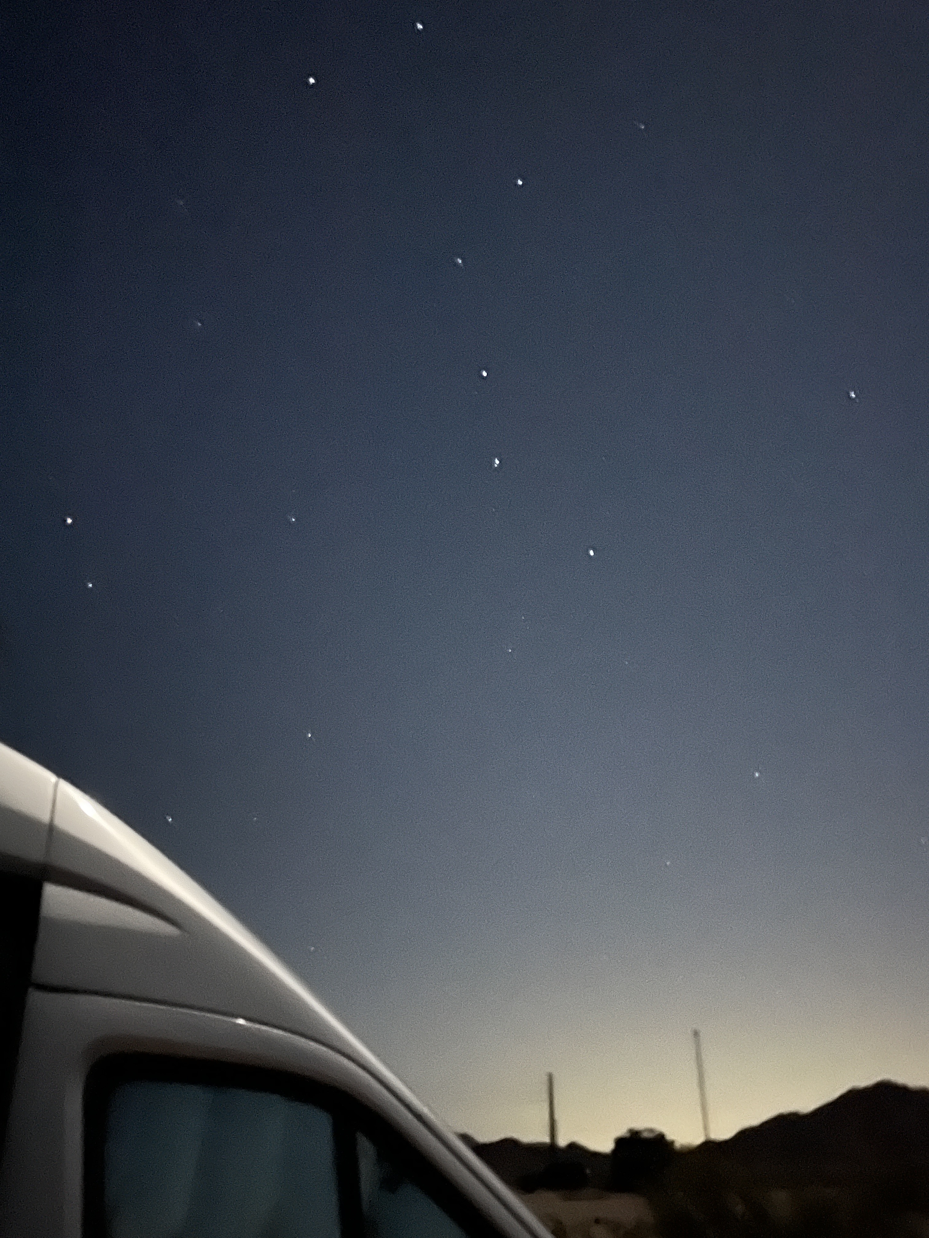
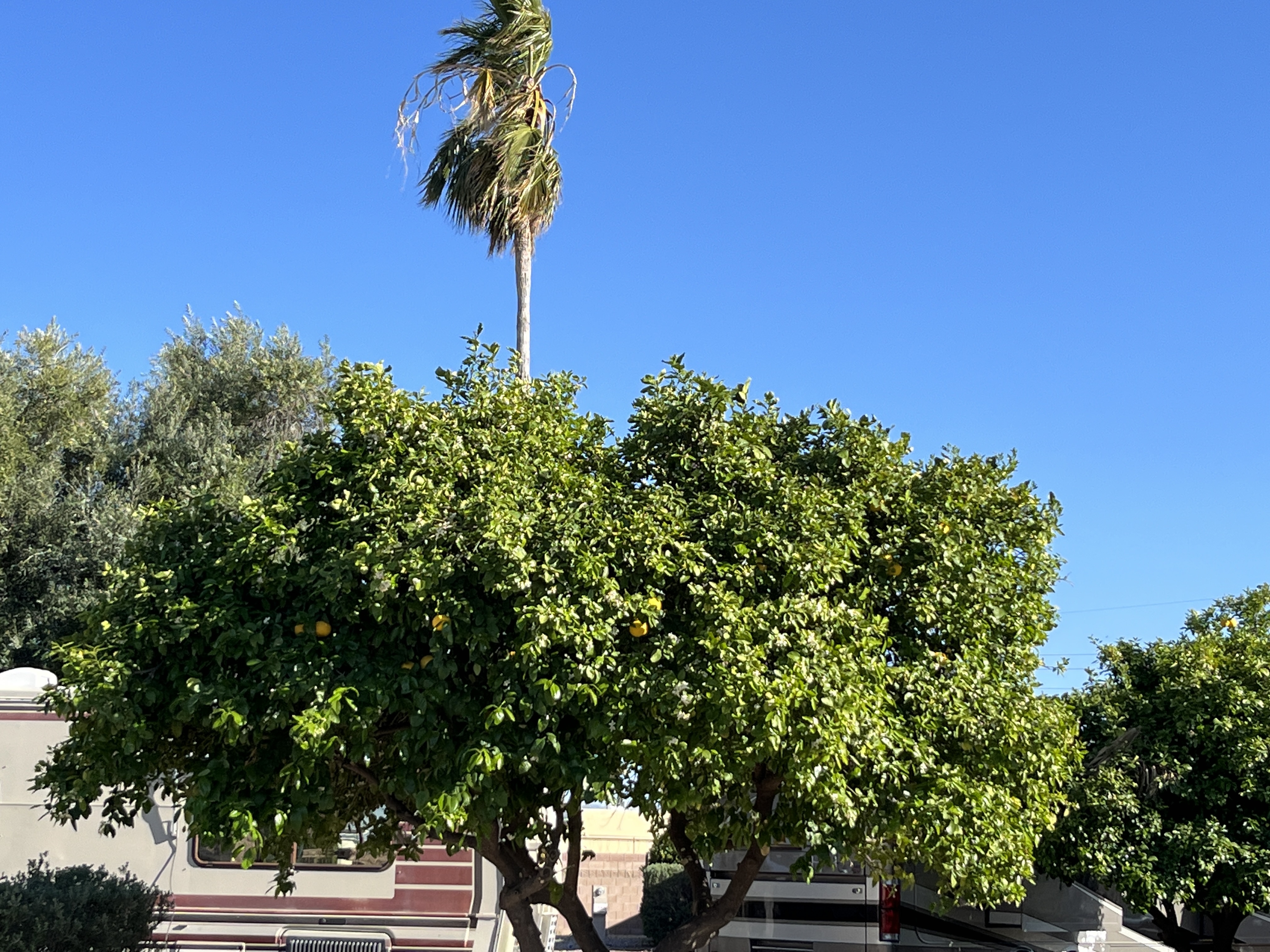
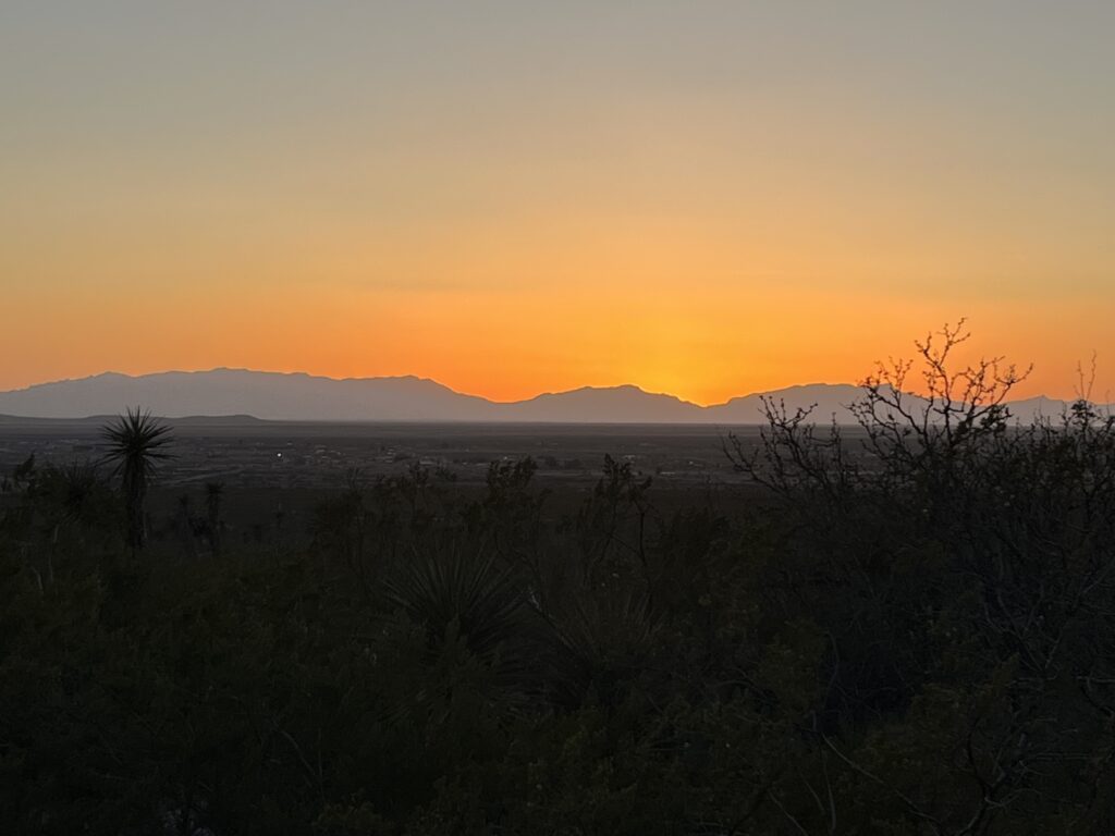
    The evening is super quiet as the sun sets. There are almost no clouds in the sky & there shouldn’t be any light infiltration to detract from the starry skies.

    Sunset
  • Day 34: Monument Valley

    7:00am and an alarm wakes us. The time has gone ahead an hour now that we’re (just) in Utah and we are being picked up at 9:00am for our guided tour of the Monument Valley and backcountry. We enjoy a light breakfast and get ready to be out and about for a few hours.

    Our guide arrives a little early so we climb into the rig and he takes us to the View hotel that sits at the entrance to the valley. Accessing the valley requires us to pay an $8/person tribal fee as the land is owned by the Navaho (Dineh) tribe. We pick up a few more passengers (visiting from France and Spain) and we head down into the valley.

    Approaching Monument Valley

    The drive can be made using your own vehicle and although RVs are not allowed our campervan would have been permitted but as we will discover, the road is very rough and uneven. We are both very glad to have chosen to take a tour and we’re only just at the beginning.

    The steep gravel and sand road flattens out at the bottom of the valley and you begin to realize the size of the sandstone mesas that are scattered about the valley. Some are over 1000’ in height.

    The valley is most famous for being the filming location of early Hollywood westerns many of which were produced by John Ford such as Stagecoach (1939) and The Searchers (1956) both of which starred John Wayne. There is now a location within the valley named John Ford point.

    John Ford Point

    All of the mesas in the valley have names, some are easy to understand their source such as ‘The Elephant’ or ‘Three Sisters’. Others require a bit of imagination to see what is evidently seen by others.

    The tour takes us in the backcountry beyond the self-drive route to a tribal village where, in a traditional shelter called a ‘Hogan’ we are shown how rugs are woven from sheep’s wool that is sheared, washed, spun and colored by hand before being woven into intricately patterned rugs.

    Lastly while in the backcountry we visit a few places to see huge holes or arches through the mesas created by millions of years of erosion. At our last stop, our guide plays his traditional wooden flute while we gaze at the sky through one of these massive holes. Quite magical.

    Returning to the entrance to the valley, we notice that there are many more folks now self driving the roads and we see a few vans bumping along and we wonder if they have anything left in their cupboards. The tour was 3hrs long and cost us each $70USD, but we both feel that we got so much from it. We learned much from our guide about the history of the Dineh people and how living in a modern world has affected their way of life. If you visit, we recommend taking a tour.

    From our campsite
    Sunset

    The remainder of the day we spent at our campsite relaxing and planning the remaining days of our trip. Still more to come so keep checking back.

    P.S. Yes, there is now red sand everywhere in the van.

  • Day 33: Onto Monument Valley

    Another chilly night, I thought we came South to get some warmth? Had issues starting furnace during the night so used electric cube heater as we were plugged in at the site. Turns out that the propane was NOT turned on thus no furnace, Doh! Although I suppose it’s nice to know it was user error and not a system error.

    Time for a statistic: It turns out that during this past winter, Grand Canyon village had 452cm (178”) of snowfall. No wonder we’re still seeing lots of it lying amongst the trees and on the north facing slopes.

    We started the day by visiting some of the lookouts that are East of the visitors center along the road that we will take to leave the park. I’ve added some pictures below.

    Upon leaving the Grand Canyon National Park the road begins to steadily fall towards Cameron, AZ where we turn North and then East towards Tuba City and Kayenta.

    The scenery really changes between the Grand Canyon and Monument Valley. Along the lines of ‘from Yogi bear to the Road Runner’.

    Dust devil just south of Monument Valley

    We got gas in Kayenta and then headed North towards the Utah state border. Crossing into Utah and just 1 mile into the state we had reached our destination, the Monument Valley KOA. Home for the next two nights. We are now 500m lower at 1600m (5250ft) than the 2100m (7000ft) elevation of last night.

    During the afternoon we booked our tour of Monument Valley for tomorrow morning. Read tomorrows post to find out what we think.

    Indian Tiki Masala for dinner and then a quiet evening in the van.

  • Day 32: The Grand Canyon

    Another chilly night in the high desert. This one required running the furnace for a few hours in the early morning hours. Brrr.

    We managed to get ready for the day and on the road before 9:00am. The drive to Grand Canyon National Park was only about 20min and we had read that to avoid lines at the gate that can build to over 2hrs in length we should arrive before 9:00am. Tick. We arrive shortly after 9:00am and only wait about 5min. We drive to the South Rim Visitor Centre, find a parking space and set off for a walk.

    We start at Mather Point and walk westward along the rim trail to the Grand Canyon village. It takes us about 2 1/2 hours and we covered about 4km stopping many times along the way to take many pictures.

    Our neighbors, the Americans, are quick to use superlatives when describing anything associated with the USA, “Worlds largest…”, “Best…”, “Most Extreme…”. In the case of the ‘Grand Canyon’ I believe that they under delivered on the name. This place goes beyond what words can describe. Adjectives like “expansive”, “vast”, or simply “Wow” cannot do it justice. I’ve given this a lot of thought today and have decided NOT to try and describe what we witnessed, instead I’ve included some pictures & urge each of you to visit this park. You will not be disappointed.

    At the Grand Canyon village Barb looks about the Hopi arts and crafts shop while I check out the buildings. We take the shuttle bus back to the Visitor Center, and drive the campervan to the Trailer Village RV Park where we are spending the night.

    We enjoy an early dinner and then catch the shuttle bus to Hopi point to watch the sunset, we caught the last bus out! Sunset was a bit of a bust as it was cloudy, but we still enjoyed the experience.

    To end the day we enjoyed a movie in the van before settling down for the night.

  • Day 31: Flagstaff and beyond

    Today = Driving. We leave Lost Dutchman State Park headed toward the Grand Canyon and the drive looks to be about 4 hrs but we have to stop for groceries and gas. It will take longer than 4 hours (foreshadowing).

    We start off well at about 9:00am and the traffic around Phoenix is light and then we get to I-17N towards Flagstaff. Lots of weekend traffic, it feels like everyone is heading North at 75-80mph. The road is not flat either but climbs quite considerably in places causing trucks to put on their flashers while everyone tries to jump into the left lane and not loose any speed. All in all it translates into quite a stressful hour or so.

    We pull off of I-17N and head towards Sedona, AZ. No plans to stop other than for a quick picnic lunch, just as well. First, the Sedona valley is beautiful. The town feels like a ski resort that’s been jammed between the red rock faces of the valley. Clearly a nice place to come and visit if you’re staying at a lodge or hotel but not in a campervan. We pull through 3 separate picnic areas before we finally find one North of the village where there is enough room for our rig and so we stop and enjoy lunch.

    Leaving the Sedona valley requires you drive out through the Oak Creek Canyon on route 89A. This entails driving up a series of switchback curves to reach the top where we see snow along the roadside amongst the pine trees. A beautiful drive but it had Barb not wanting to get too close to the window in the van due to the drop offs.

    The remaining drive to Flagstaff was easy and before we knew it we were shopping at Walmart and Bashras (local chain) for groceries. Dinner was courtesy of Pizza Hut as Barb did not want to cook tonight and pizza was to be a treat. Fuel acquired at a Pilot service stop just West of Flagstaff and then we continued toward the Grand Canyon.

    Near Flagstaff, AZ

    We turned North at Williams, AZ onto route 64 which leads directly to the South Rim entrance to the Grand Canyon National Park. However, our plans were not to go all the way tonight. Instead we were copying what our friends the Milddogs did last year and that is stay just South of the park on BLM land, driving into the park tomorrow.

    We find the dirt road off of the highway near a place called Red Butte. It’s bumpy and rutted from vehicles driving along it in recent rains. It’s easy to see that some folks were getting stuck in the soft muddy soil. We pass a few camping areas but they are taken so we keep going. We then turn down a bumpier road (not wide enough for two vehicles) and drive about half a kilometre before realizing that we’re in over our heads. I find a place where I think I can turn around without getting stuck and proceed to complete a 1000-point turn. Success. We drive out along the same bumpy, rutted road and decide to pull into an area where someone is already setup to see if there enough room for another vehicle. There is and we hide behind some shrubbery (nod to Monty Python fans) so as not to be intrusive.

    It is quiet. We enjoy our pizza and a well earned drink. It is close to 6:00pm meaning that it has taken about 9 hours to get here. Phew. Oh well, tomorrow is only about an hour of driving, so it was worthwhile.

    Sunset
  • Day 30: Lost Dutchman State Park

    Whoa, chilly start to the day but supposed to heat up to 26C this afternoon. A light breakfast and then both ready ourselves for our morning walks.

    We were visited by Quail while eating our breakfast

    Barb will walk about the campground exploring some of the nature trails while I strike off to the Superstition Mountains and UP the Siphon Draw trail. It will take me an hour before I run out of energy and decide to stop and come back down. I manage a 281m (922ft) gain in elevation, not bad for a ‘flat lander’.

    The remainder of the day we spend relaxing and reading at the campsite before a short walk together about the campground after dinner.

    Tomorrow we leave and head North towards the Grand Canyon. We’re going to camp on BLM land for one night and then in Grand Canyon village for a second night. Come back to see how we make out.

  • Day 29: “Nature is the inspiration for all ornamentation” – FLW

    Today we head towards Phoenix, AZ. The sun is up early and we go about our morning rituals to get ourselves and the van ready for a drive. We will miss Picacho Peak State Park, it is beautiful and serine.

    Our drive along I-10W is uneventful, yep back to our old friend for what I think will be the last time. Nearing Phoenix we turn East on the 202 and the North on the 101. We’re heading North towards Scottsdale, AZ where we will stop at Taliesin West.

    Taliesin West (now a National Historic site) was the Winter home and studio of Frank Lloyd Wright. Purchased by FLW in the 1930s, the land was developed by himself and the students of his fellowship using local materials that blend harmoniously into the surrounding landscape.

    We took the self-guided audio tour (other tours were all sold out) which lasted about an hour and looked about the grounds and through FLWs office, the living quarters and the drafting studio. The tour was really well put together and gave you an amazing insight into the methods & philosophies applied when the campus was built. Enjoy a few of the pictures we took.

    Leaving Scottsdale, we head back across the city towards the East and the Lost Dutchman State Park. It is located at the foot of the Superstition Mountains near Apache Junction, AZ.

    This is a very popular park because of its close proximity to Phoenix and we were only able to reserve a rustic site (no services) for 2 nights. The view is amazing!

  • Day 28: Picacho Peak State Park 3

    Another short post today, the wind continues but it’s only going to get to 17C so it will feel cooler than that. The days starts with my walking around the park again, I take the following selfie.

    Once back to the campsite Barb catches me relaxing.

    We have breakfast and relax for the remainder of the morning. After lunch we go for a walk towards the peak in the background of the photo above. We have no intention of trying to climb it. Along the way we find more colorful flowers and cactus.

    We stopped on our hike to take the following picture of Barb next to a Saguaro cactus. They really are quite a bit taller than you might think.

    The following is near the end of our hike at the foot of the mountain. This really is quite a special place and we highly recommend this state park to anyone visiting the SW Arizona area.

    Tomorrow we’re back on the road. Come back soon to see where we went.

  • Day 27: Picacho Peak State Park 2

    A quick post today. We’re relaxing and doing some reading while the warm winds whip around our site knocking over chairs and footstools. We both finish the books we are reading by the end of the day. Sometimes staying still is very therapeutic. Enjoy a few pictures taken while walking earlier today and one from this evening.

    Ciao!

  • Day 26: Picacho Peak State Park

    What a night! I still struggle with the complete silence that envelopes you here at night. I suffer from tinnitus and as such when it’s as quiet as it is in the desert, the only sound I hear is literally in my head.

    As for darkness, well. As you can tell from the picture in the last post taken at about 4:00am this morning (& reposted below), it gets REALLY dark out here and with there being no tall trees, the sky is REALLY big.

    This was the westernmost point in our trip and today we head eastward back to Picacho, AZ. Nope, not to look for Pokémon, but to camp for the next three nights.

    Returning to the I-8E we pass the Solana Generating Plant, a very large parabolic trough solar power plant capable of generating enough electricity to power 70,000 homes!

    Picacho Peak State Park is known for its wildflowers and hiking trails so we are really looking forward to the next few days. Due to a water shortage in the area, they are asking all campers to arrive with a full water tank as there is no potable water available in the park.

    The drive back towards Casa Grande and down to Picacho is uneventful and rather than write anything about todays drive I ask you to re-read yesterdays blog backwards (kidding). 😜

    Picacho Peak, AZ

    We arrived at the park shortly after 1:00pm and it’s busy with lots of day use folks out for a hike. The campground is flagged as being full, however the sites are nicely separated and so it seems quieter than we expected (Ontario Parks take note).

    Picacho Peak State Park, Picacho, AZ

    All for today. Cheers.

  • Day 25: Ancient places

    It’s time to leave Tuscon and continue our journey. The days are definitely getting warmer here yet the nights are still chilly. I awakened this morning wishing I had my extra blanket last night. So, up again at 6:00 and out for my walk. Nobody else seems to be awake yet, probably because it’s Saturday.

    Today will see us head to the most westerly point we will achieve on this trip, but more on that later. First, we have to strike camp and hit the road. A shower followed with a light breakfast sets us up for the day. Packing away goes smoothly and we’re off the site by 9:30. Traffic in Tuscon is light being a Saturday, but still as frantic as ever it seems, particularly the nutty motorcyclists that choose to weave between lanes and traffic far above the speed limit all while wearing just a tee-shirt and jeans.

    North of Tuscan the desert returns intermixed more and more agriculture. Eventually we leave the I-10W and begin passing lots of open farmland. It’s heavily irrigated from long drainage canals that run alongside the roads. Looking at the crop we were confused as it appears to be Alfalfa, in the desert? Sure enough, a little further along we see a farmer cutting the crop and sure enough it’s Alfalfa being cut in March! But for what?

    Large Alfalfa bales drying on the sun

    That question is answered a little further along as we pass a huge dairy farm. Due to the climate the barns are all open sided and silage is ramped for use later in the year. This farm has to have in excess of 500 cows plus younger animals. It will not be the last such farm we see like this today, nor the largest.

    Huge dairy farm near Casa Grande, AZ

    We finally arrive in Coolidge, AZ at our first stop of the day, Casa Grande Ruins National Monument. The site contains the remains of a village from around the 1300s. The main attraction is a large multistory adobe structure named ‘Casa Grande’ (Big House). There have been very few of these ever discovered and it is now protected from the elements under a large steel structure. The thought is that this site acted as an important trading site in the area and was important amongst the Hohokam tribes that lived in this area 700 years ago.

    Leaving Coolidge, we drove to the city of Casa Grande where we reprovisioned at Walmart and picked up lunch from an Firehouse Subs. Argh, it’s Saturday and everyone in town is out shopping. It seems.

    We leave town and head West on I-8W. It could take us to San Diego, CA if we wanted but our goal was much closer and far less occupied. Tonight we would set up camp on BLM land at the Painted Rocks Petroglyph Site and Campground near Dateland, AZ. $8/night without any services to camp in the desert away from it all. There are other campers here as well, but there is lots of room between us and so it feels almost as if we’re all alone.

    BLM camping

    In the late afternoon we wander around the Painted Rocks and observe petroglyphs that are 1000s of years old.

    As the sun sets the magic begins. One by one the stars appear, these is no light intrusion here as we’re far enough away from any urban area. The moon unfortunately is almost full which obscures half of the stars in the sky. However, those we do see are brilliant.

    Stargazing. The shadow is caused by the moon.
    Moonshadow
    Big Dipper over the van

    At 4:00am I awake and take a look outside. The moon has set and now the sky is full of stars, even the milky way is visible, I’ve include a picture below.

    Night sky incl. Milky Way
  • Day 24: Moving day

    As we extended our stay at this park by one day we have to move sites to accommodate other reservations. Not a problem as we have plans to go ‘off-site’ today.

    Another beautiful morning, another walk about the park. It seems a little emptier as I walk about, a few more vacant sites than I recalled from yesterday. It is March 31 so maybe some snowbirds are beginning their migrations home. Not yet for us.

    Today we are visiting the PIMA Air & Space museum. It’s just a few miles from the park so only took a few minutes to get there. It contains a large exhibit both indoors and outdoors of over 400 aircraft on an 80 acre site. Given its location the majority of aircraft are American but they do also have many from elsewhere around the world, including Canada, Great Britain, Italy, France, Russia, Germany and Japan.

    Wright Flyer

    We chose to include a tram tour of the outdoor displays so as to get the narrated description of the aircraft on display.

    Boeing 707 ‘Air Force One’
    NASA’s recently retired SOFIA flying observatory
    Consolidated PBY-5A ‘Canso’

    I’ve included a few of the pictures above that we took while visiting. We enjoyed our few hours and of course picked up a pin for our collection from the gift shop.

    Returning to Lazydays RV Resort we acquired our new site for the night and proceeded to setup camp before going to the on-site restaurant and getting some chicken tacos and ice cream to enjoy on our site.

    Barrel cactus in bloom

    This was our last full day in this park and we’ve really enjoyed our stay. Although it was nice to stop and relax for a few days our adventurous nature is making us want to explore more of Arizona. So, check back again and see where we go from here!

  • Day 23: When life gives you lemons… or Seville oranges

    Good day. So another restful night here in Tuscon, AZ. The morning sun rises early into the clear blue sky, yet it is cool at only 2C. I repeated yesterdays walk and then headed to the shower. The shower gets an 8/10 but there are signs that indicate the parks is renovating the comfort stations this summer.

    Eggs & bacon for breakfast on the patio before retreating to the van for some reading. I picked up Andy Weir’s book, Artemis when we were at the Space Center Houston and today started reading it.

    While I dive into the new book, Barb decides to do something with the Seville oranges we picked by making Marmalade. She had found that we have enough sugar with us for the number of oranges we picked. (BTW, shout-out to my Mom who later in the day after reading yesterdays blog suggested we make marmalade). As you can see below, it looks like it turned out rather well.

    Marmalade!

    After our lunchtime sandwich we picked a few more grapefruit and then took a walk to return the picker. I captured a few more pictures of the resort to give you a better idea of the place.

    Picking grapefruit

    We enjoyed fajita wraps for dinner and settled in for the evening. I finished the book I had started earlier today (highly recommended). That’s four novels completed on this trip. I’m now eyeing up one or two of Barb’s books to read.

    Tomorrow we have to move to a new site, so hopefully it’s as nice as this one.

  • Day 22: annnnd relax

    First full day parked in Tuscon. I should have slept in but nooo, I had to be up at 6:00am for no known reason. Ok, time for a walk then. The park is large enough that I walked along every roadway and it totaled a 5km walk. Nice.

    Breakfast included fresh grapefruit from a tree next to our site. Yummy!

    Handpicked citrus

    After breakfast we spent the morning making reservations for the remaining parks on this trip. We are far enough along now that we can say for certain where and when we will be at a given location. This proved a little harder than we have previously experienced as it includes booking sites over the Easter weekend. We had to make a few adjustments and cut out a couple of places we had planned to go because of lack of site availability. The good news is that we now have all of the reservations we need and so can now relax and enjoy the days as they arrive.

    Just before lunch we visited the registration office and extended our stay here by one day. We will have to move to another site, but that’s not a big deal. We also borrowed a citrus fruit picker so that we can get a few more grapefruit from higher up in the trees. We also learned that the few oranges we can find are Seville oranges which are NOT sweet. More on that tomorrow.

    During lunch we had some new neighbors pull in that have driven here (via Florida) from Burlington, ON. So we had a good chat and loaned them our fruit picker.

    As the afternoon got warmer, 29C, we decided a visit to the pool was in order. We floated around for a while and then retreated to our site for strawberry daiquiris and to do some reading.

    Barb spotted both a Roadrunner and a Northern Mockingbird on our site. We’ve been watching out for Roadrunners as we drove through the desert only to finally see one at our RV park site in the city.

    Roadrunner zipping through our site. Beep Beep.
    Northern Mockingbird in the citrus tree on our site.

    Dinner was grilled steak, mashed potatoes and a salad which like all of our meals here we enjoyed outdoors. The evenings outdoors get cool quickly after the sun goes down and so after a phone call to my parents, we retired into the van for the evening to watch a little TV. I suspect that tomorrow will be a wash, rinse & repeat kind of day. Nice. 🌴😎

  • Day 21: The town that will not die

    Three weeks into this trip and today will be the hottest yet with a forecast high of 28C. Ahh. 😎

    To follow on from yesterdays theme of ‘Stranger things’, we awoke this morning to the notification that we had crossed into a new time-zone. Hey! Wait a minute, AZ is in Mountain time, isn’t it? Yes, yes it is… but they do not observe DST and as such in early March they do not turn their clocks ahead thereby effectively moving themselves into the Pacific timezone until October. We are now 3hrs behind our family at home.

    Barb rates the showers here a solid 9/10 yet I feel I should remove a point as they decide to clean the restrooms at 10am a full hour before checkout even though the sign on the outside of the building indicates that they clean at 11am. Grumble.

    Driving today is split into two parts, the first taking us to Tombstone, AZ and the second to Tuscon, AZ where we will be stopping for 3 nights.

    The drive to Tombstone started on the now very familiar I-10W for 30min and just outside of Willcox, over the first mountain range the scenery suddenly changed to be that of a giants rock garden. The rocks (boulders) look as if they simply been strewn about by a group of unruly teenage giants. Of course, they exist as they do because over time the softer rock around them has simply washed away leaving these boulders to rest as they do. Quite a sight.

    Leaving the I-10W and turning South towards Tombstone we cross ranch land where the road simply cuts through a farmers ranch and entry and exit from the farm is made by crossing a cattle-grate. A smattering of Pecan orchards are still seen but it’s mostly open ranch land before after 30min we arrive in Tombstone.

    Tombstone, AZ is most famously known as the site of the ‘gunfight at the OK corral’ but the town, like many in the West had its start in mining when silver and gold were found in the mid 1800s. The town has experienced three massive fires throughout its history and the mines have also been closed multiple times because of flooding. After each catastrophe many have thought it would be the end of Tombstone, but no it lives on earning the nickname “The town that will not die”.

    The town today lives on as a National Historic Site and survives on the tourism industry. It’s kitschy and yet not overly done. Sure we purchased tickets to the live reenactment of the ‘shootout’ that is performed several time a day but the town feels honest. The Main Street is unpacked and has horse rails and the sidewalks are boardwalks under the eaves of the storefronts. There are no modern establishments made to look like they existed in the 1800s, the stores are all small craftspeople outlets making and selling leather goods, jewelry, tobacco. The restaurants are old saloons that now serve food as well as whiskey. We had a great time, and would recommend this for anyone traveling in the area.

    Gunfight at the OK Corral

    Leaving Tombstone we were required to pass through a US Border Patrol checkpoint (you get used to these down here, even on the interstates) we retraced our steps North, back to the I-10W where we joined the highway into Tuscon. We are staying at the KOA Lazydays RV park at the SouthWest corner of the city. Although busy the site we have is spacious and has a patio and it’s own Orange tree (no oranges, Boo). There are however Grapefruit and Lemon trees about the park that they welcome visitors to pick and enjoy.

    KOA Lazydays RV park, Tuscon, AZ

    All for today, talk soon.

  • Day 20: Stranger Things

    Today is planned to be a day of travel as we head into Southern Arizona. Up by 6:30am and out for my walk through a new housing development near the KOA. Total distance of 4.3km with a 79m elevation gain, phew. Nice homes being built here in the southwestern adobe style that is so popular. The development is on a hilltop and has wonderful views across the Rio Grande valley and Las Cruces.

    It was while walking that I saw the first unusual thing of the day, a scrap metal roadrunner structure perched on the hilltop adjacent to I-10. No picture taken though.

    Breakfast and packing up was the typical routine and we were on the road shortly after 10:00am. We settled into the drive and were again marveling at the starkness of the desert along with the surprise of yellow poppies that grow in the verges along the highway.

    Yellow poppies

    We stopped in Deming, NM at the Walmart to reprovision as supplies were starting to run a little low.

    Leaving Deming we returned to the I-10W where our windshield was struck by a small rock. Damn! A small chip now exists near the middle of the windshield. It does not spread the remainder of the day so will see what happens.

    Further along the I-10W closer to the NM/AZ border we passed the continental divide and then ‘Fraggle Rock’. Some of you may recall the children’s TV show in the 1980s of the same name. The rock we saw today is simply a large pile of rocks with the name painted on the side facing the highway.

    Fraggle rock

    Shortly afterwards we arrived at the NM/AZ border and stopped to have lunch at a rest stop on the south side of the highway. It’s the NM visitor center so we took a picture of the ‘Welcome’ sign as we didn’t pass one when we entered NM a few days ago.

    I know, we’re actually leaving the state, but…

    The far Western side of NM is prone to dust storms and strong winds. We came upon a couple of these strong gusts accompanied by tumbleweeds. Luckily we were able to avoid hitting any tumbleweeds.

    In NM they have many large signs warning of dust storms, zero visibility and actions to take if caught in one. Entering AZ the signs changed to state that the area is prone to blowing dust. Meh.

    Dust storm warnings

    A little further along the highway we pulled off for fuel at the hometown of movie character John Rambo the much anticipated Bowie, AZ. There is a mural of Rambo at the gas station and a picture had to be taken so we are sharing below. There’s nothing else in Bowie that we could see, and I mean nothing.

    Besides the desert we were also accompanied all day by Union Pacific trains running on tracks that Paralleled the interstate.

    One of many UP trains seen today

    Our stopover tonight is the KOA in Willcox, AZ. as this will setup our touring tomorrow. All for today. Good night.

  • Day 19: Sand or Snow?

    Sleep in the overflow camping area was easy. Peaceful. We were awake early and enjoyed muffins and coffee to start the day. I walked about the campground again and marveled at how rugged the landscape is and the type of person it would have taken to settle on it over 150years ago.

    Good morning sunshine.

    Packed up, off the site and tanks dumped by shortly after 10:00am. Seems to be our preferred departure time. We headed to the gas station and filled up the van for what today will be a fairly short drive.

    Our first and only stop of the day would be at the White Sands National Park. It was only about 30 minutes from Alamogordo and we soon arrived. $25 entrance fee (yikes!) and one road into the sand dunes. It was paved about 2/3s of the way and then we were driving on hard packed sand. We drove back to the primary area where folks seem to go and hike about and found a mostly empty parking area.

    The dunes are pure white sand, almost appearing to be snow or table salt. It is actually gypsum crystals that have formed from the repeated submerging of the land in sea water and evaporation of that water millions of years ago. The dunes are about 30ft tall and we were free to climb and walk about on them.

    A common pastime is to bring a toboggan or sled and use the dunes like they are snow. Many people were sliding and taking pictures of themselves frolicking in the sand. Not us. First, we have no sled and 2nd we’ve sledded on real snow. Instead, we took off our sandals and climbed the dunes only to find the sand cold. Yep, the sun was blazing and unlike any beach we had walked on the sand was cold to the touch. We took some pictures and looked about and then returned to the van as the sun was blinding.

    Fun with panorama pictures

    In fairness people are advised to cover up, apply sunscreen, where dark glasses and drink lots of water. We did not cover up or apply sunscreen but we both wore dark glasses and hats and drank lots of water (the air is really dry in New Mexico). The air temperature was only 17C but the sun was blazing and if we were to be out for more than the hour that we were, sunscreen would have been essential as there’s nowhere to hide.

    We stopped briefly at the gift shop on the way out to pick up a pin for in our van and then we were on our way to Las Cruces, NM where we have a spot reserved at the KOA for the night.

    White Sands souvenirs.

    However, before arriving at our destination we had to cross a mountain range. The highway was really good (albeit an almost dead straight road most of the way) and had a slow lane for the trucks and us on the ascent. The descent went rather quickly and before we knew it we had arrived into Las Cruces.

    Our plan was to stop at a Mexican restaurant recommended to us for lunch before going to the park for the night. It being a Sunday and the restaurant being in a historic area with very narrow streets and no parking my stress level went way up as I tried to simply navigate the streets and not hit anything low or higher up like a tree. Not finding an obvious place to park a rig the size of our van in such an environment we drove onwards to the KOA and settled in for the night. It’s a really nice park and our site has split rail fencing and a patch of grass and 2 trees! Maybe we can find a nice place to enjoy lunch tomorrow.

    Nice campsite for the night.

    Until then, good night!

  • Day 18: To the clouds

    Good news, we awoke in the same place we parked last evening. The winds dropped fairly quickly last night and it was peaceful on the range.

    We departed before 10:00am and headed towards Carlsbad, NM. First a quick stop in Whites City to take a couple of pictures.

    Carlsbad is a fairly large town with all of the associated amenities should you need them. We stopped for gas and moved on.

    Heading North on SR-285, we drive to Artesia and came across several orchards of Pecan trees. We turned West onto SR-82 and drove through the nicely decorated town center. Heading out of town we were buzzed by student pilots practicing touch-and-go circuits at the local airport.

    Pecan trees, Artesia, NM

    Continuing West we entered ranch land. Lots of cattle ranches with large gates with names above them along with their branding symbol. Slowly at first and then more noticeably, the land climbed into the foothills of the Sacramento Mountains and onto the Lincoln National Forest. The grasslands became conifer forests as the road climbed to 8,676ft as we entered Cloudcroft, a small town clearly a year-round outdoor destination that had a small but quaint downtown, food trucks and BBQ joints. The ski hill was closed for the season but there were still a few remnants of snow from this past Winter to be seen.

    We stopped and picked up pastries from a small bakery and tacos from a well reviewed food truck.

    The road from here was all downhill, literally. 6% grades for several miles westward has us taking it easy on the brakes and letting the transmission do its job of managing the speed. We stopped halfway down at a rest stop to eat our Mexican lunch (delicious) and take a few photos before completing the 6% descent into Almagordo, NM.

    Our destination is the Oliver Lee Memorial State Park just South of town. No reservation but they tend to have some ‘walk-in’ sites available. We arrived at about 2:30pm and all of the walk-in sites had been taken and all reservation sites were booked for the night.

    We were contemplating our next steps when the park host came by and told us that he had room for one rig in the ‘overflow’ area. We took it. No services where we are camping but we have access to the comfort station should we need it and can dump our tanks before leaving. Good for one night!

    Overflow camping, Oliver Lee Memorial State Park, NM
    The end of another beautiful day
  • Day 17: Carlsbad caverns, Whites City, NM

    Good morning. We woke at 8:00am to the wind still blowing and a forecast of very strong winds this afternoon. The night was quiet (putting aside the aforementioned wind). No coyotes or other critters about.

    Today we are visiting the Carlsbad Caverns, a well known large cave system in the Guadeloupe mountain range of New Mexico. We have entrance tickets for 12:30pm and so take the morning easy relaxing in the van (to windy and sandy to sit outside comfortably).

    We arrived at the Carlsbad cavern visitor center at 12:15pm and were allowed to start our self-guided tour immediately. We had heard that they were strict about observing entry times based on reservations so this was a nice surprise.

    We chose to walk into the caverns using the natural entrance as opposed to taking an available elevator directly down the the ‘Big room’ so as to fully experience the caves.

    The entrance is huge and is a good indicator of how large this cave system is. They have bat viewings at the entrance in the evenings when the bats swarm out of the caves into the sky to hunt for insects, we were not planning to stay quite that long.

    The caves slowly get darker but there are plenty of low level lights that show you the way of the walkway.

    The walk down the entrance cave is done on a paved walkway with stainless steel hand rails, there are only a few stairs in very steep sections. As per the signs at the entry, we had to walk down about 750’ (230m) or the equivalent of 75 stories (the height of the Empire State Building in New York).

    In a nutshell, this is one big hole in the ground! It took us about an hour to descend to the level of the ‘Big room’ which is the main spectacle of the cave system stretching many hundreds of feet in multiple directions and containing so many different stalactite and stalagmite formations all lit with accent lighting. The temperature in the caves was a little warmer than we expected at 12C and so the sweaters we wore were off before we completed the descent.

    Navigation map when you arrive in the ‘Big room’

    Our walk about the ‘Big room lasted about an hour before we chose to take the elevator back up to the visitor center which of course drops you off directly in the gift shop. We purchased a couple of pins for our collection before departing.

    Elevator information

    In all we were in the caves for a little over 2 hours and really enjoyed the experience. The walk down is not hard but your knees and legs do get quite a workout. You do not need to be Uberfit to complete the walk, but you will want to take advantage of the seating provided along the walkway to rest, hydrate and enjoy the various views.

    Not our van, but a serious German adventurer

    We drive back to the BLM land on which we camped last night and managed to snag the same site.

    The winds had risen significantly while we were underground with wind gusts now at 64km/h. These are supposed to drop steadily overnight, so hopefully we will awake in the same place we parked.

    Look at that Wind!

    All the best everyone.

  • Day 16: from wineries to refineries

    The wind let up around midnight and the cool air arrived bringing with it a heavy morning dew and fog down in the valley. We slept in. We ate a simple breakfast. We organized the van for a day of travel. We vacated the overlook parking area at 10:00am.

    Good morning
    Looking back up the valley to where we stayed
    Remains of Fort Lancaster, TX

    We headed West down the SR-290 towards Sheffield, TX. Stopping briefly at the Fort Lancaster visitor center to take a photo of the fort ruins. Sheffield is a depressing, small town that time appears to have forgotten about around the time the I-10 bypassed the community.

    Returning to the I-10W we continued toward Fort Stockton, TX where we stopped at the visitor center. The town mascot is a large Roadrunner statue that stands across the road from the visitor center. The visitor center itself is in a renovated train station that stands beside a SantaFe rail line that ran into Mexico. It’s no longer used.

    We tried to procure a coffee at the local McDonalds but it was being overrun by teenagers when we arrived and so we chose to move on.

    Leaving Fort Stockton our route turned NorthWest on SR-285 towards Pecos. We were entering Texas oil country. Everywhere we looked there are oil pumps, storage tanks, pumping stations and refineries. The oddest sight to us were the workers camps setup along the side of the highway that consisted of rows of RV shelters and temporary housing structures. The road was undergoing a major reconstruction and as such there were many reduced speed zones.

    Arriving in Pecos, TX we stopped at the Pecos Museum where we parked in the RV parking area and made lunch in the van. Afterwards we walked about and took some photos around the museum.

    The SR-285 North of Pecos was also under construction right to the New Mexico border, which, because of construction was marked by a bump in the road. No “Welcome to New Mexico” sign. Construction continued into NM however, reduced speed limits of 45mph instead of the Texan reduced speed limits of 65mph meant much slower progress was made. Eventually we turned from the SR-285 cross country towards Whites City.

    We are trying for the first time camping on BLM (Bureau of Land Management) land. This is US Gov’t owned land and is open for public use. Camping is considered ‘off-grid’ as there are no amenities or even paved roads. Site selection is on a first come first served basis. We have chosen a spot about 500yds away from the highway on a dirt track in the middle of the desert. It is windy, but peaceful. Yes, there is some limited cell phone coverage. We plan on staying here for a couple of days.

    Take care everyone.