When you think of ‘Up’ and ‘Down’ what do the words conjure in your mind? A direction? An emotional feeling, I thought I’d do something a little different today and summarize our day around the words ‘Up’ and ‘Down’, so let’s start at the beginning of the day.
Up – We enjoyed a quiet night in the grocery store parking lot. To some the idea of spending the night in a parking lot might seem scary, or at least odd. In our experience parking lot stops have been great as they save us a night at a paid campground when all we’re really doing is parking for a few hours and heading out again. Turns out that this is actually a fairly common practice worldwide.

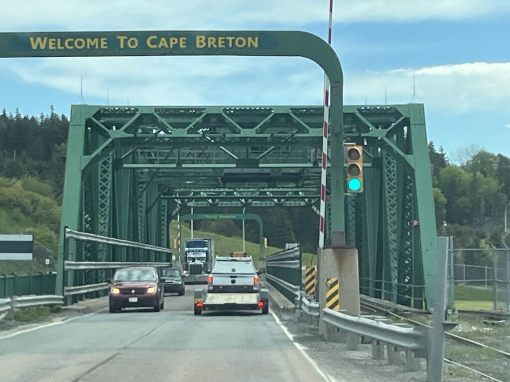
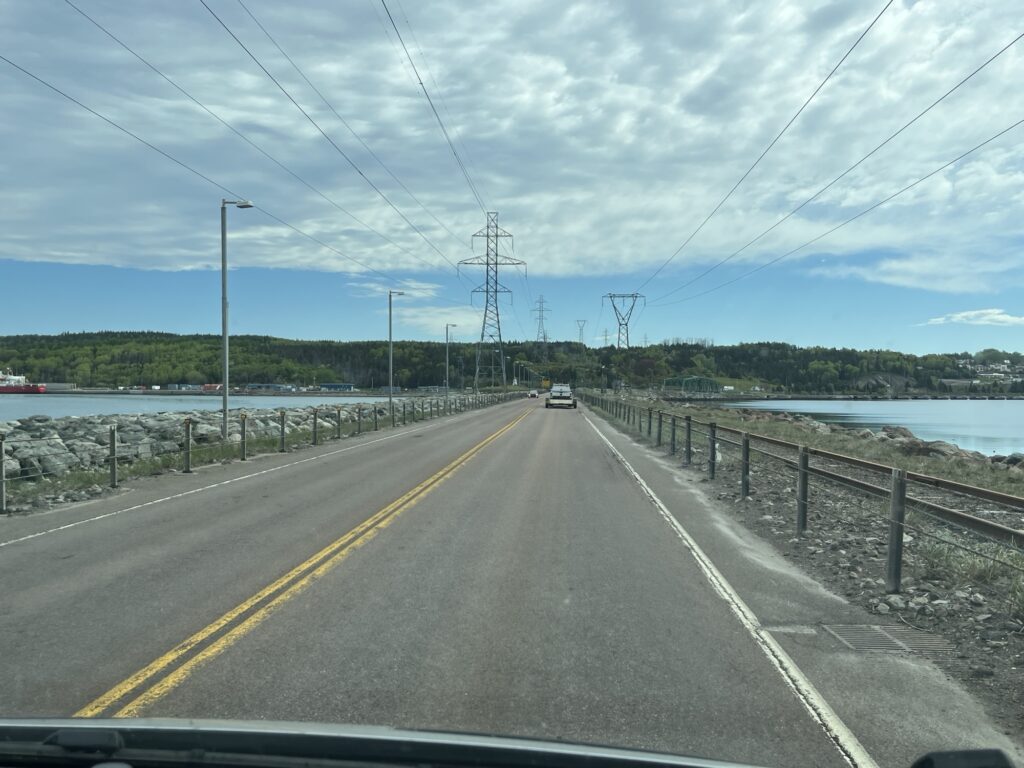
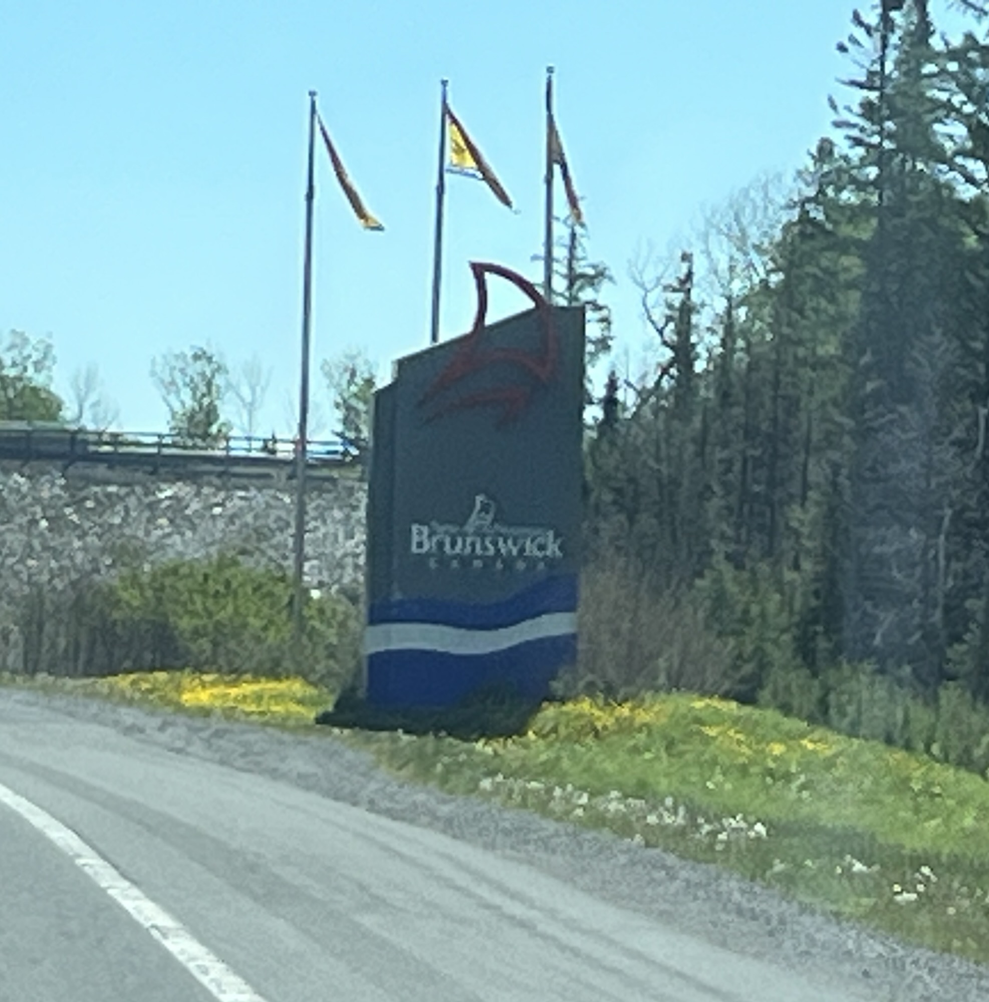
Down – The Canso Causeway. A sea level crossing of the Straight of Canso. Cape Breton is still an island as I’m sure the residents would be quick to point out.
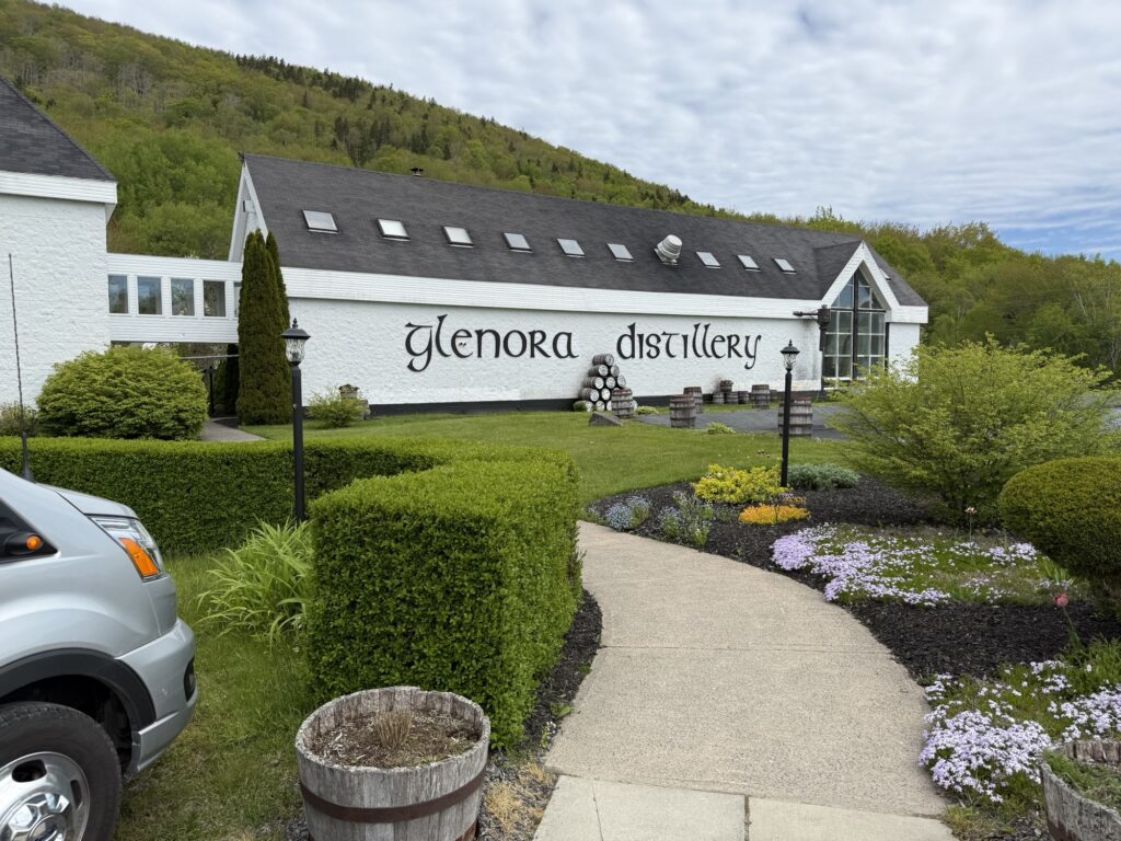
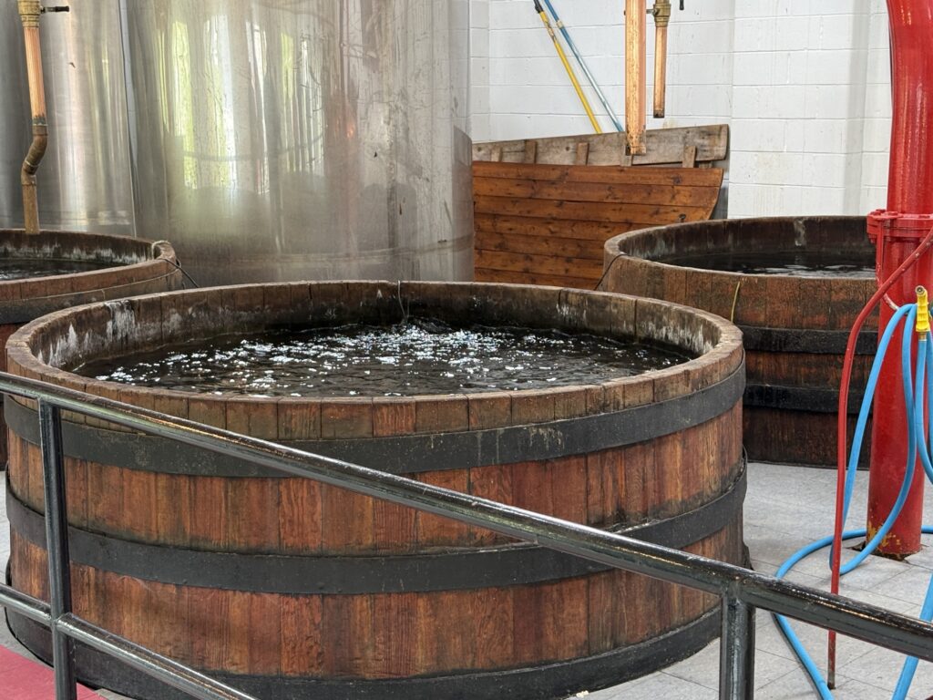
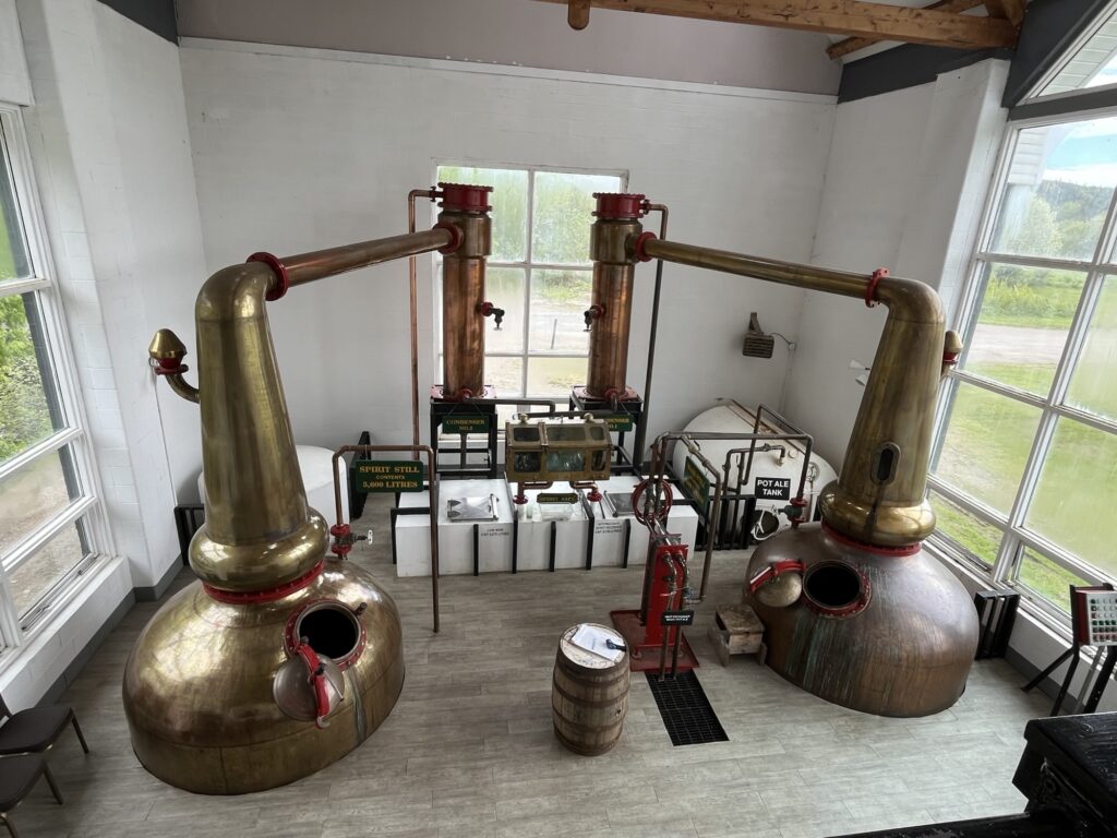
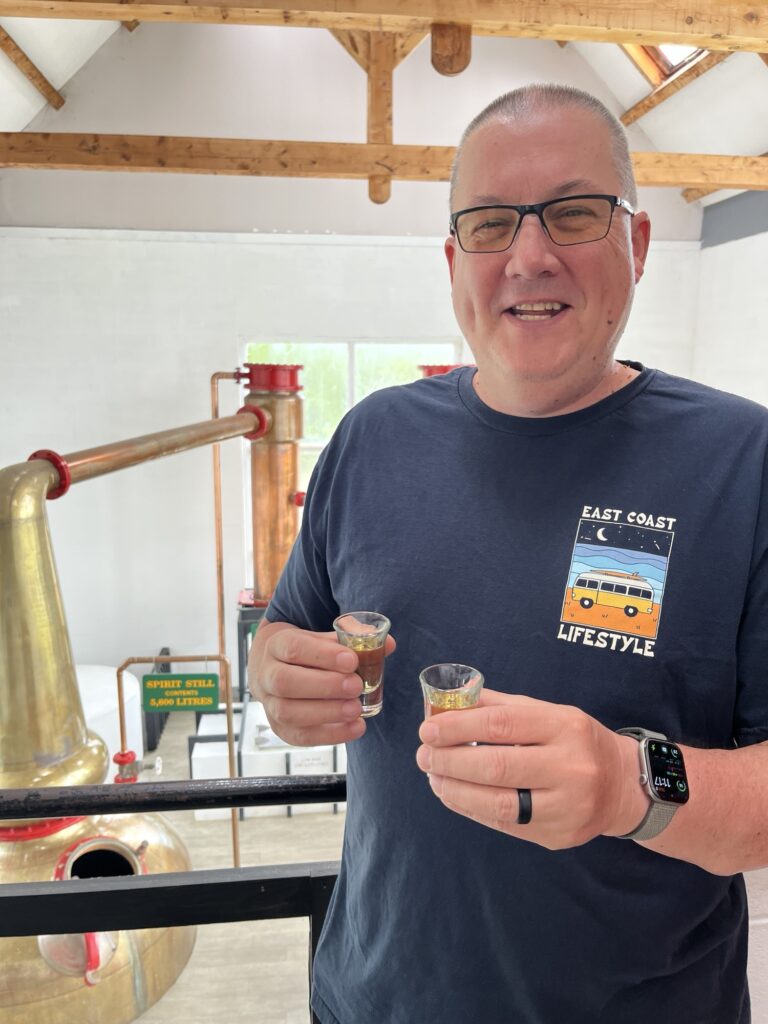
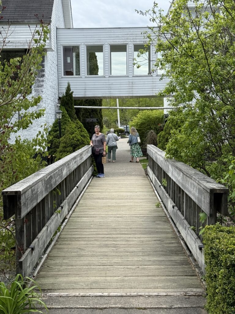
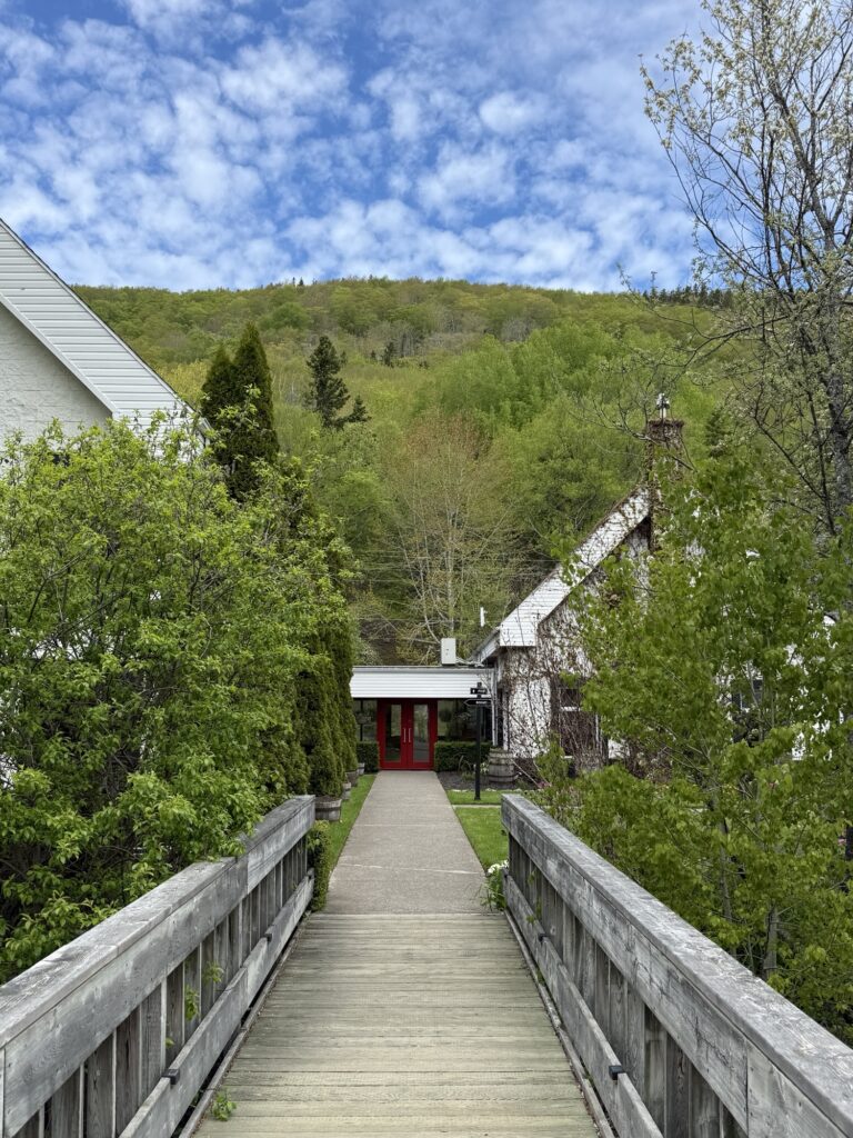
Up – Glenora Distillery. The tour was fun and the tasting delicious resulting in the Whiskey going ‘down’ smoothly. A wonderful place to stop while driving the Ceilidh Trail. They’ve been producing whiskey since 2001 using all-Canadian ingredients including Cape Breton spring-fed water.

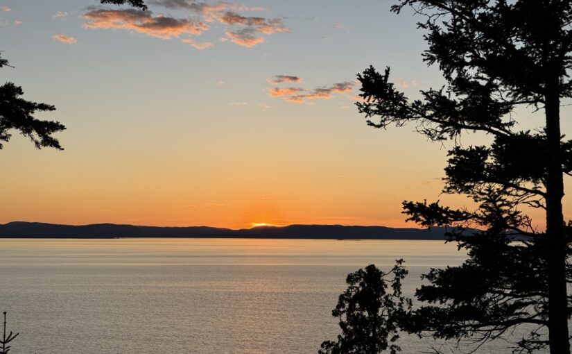
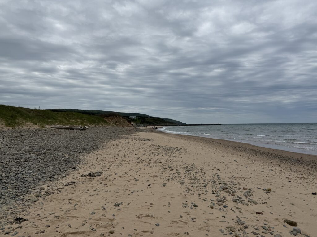
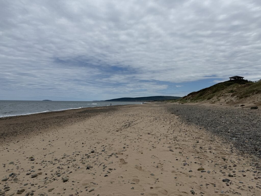
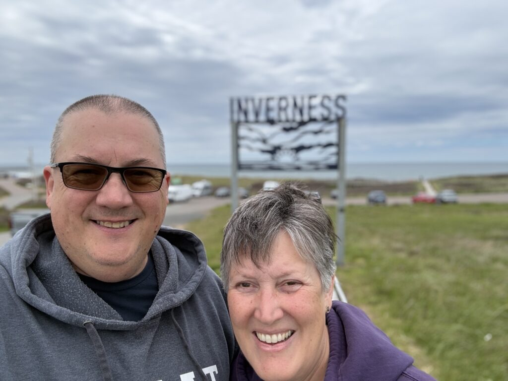
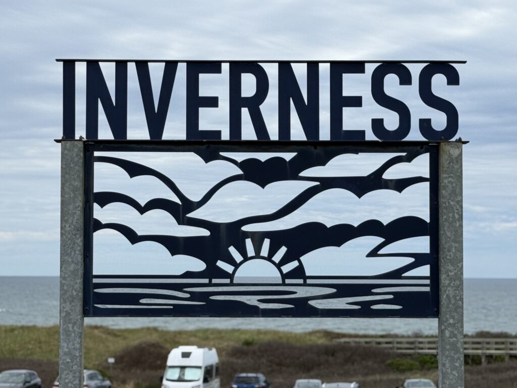
Up – Inverness beach. We stopped and enjoyed lunch in the van before taking a walk ‘down’ on the sand and pebble beach. The sunsets here must be lovely. Evidently a good place to find ‘sea glass’ but we didn’t find any ourselves.

Down – Parks Canada Park pass. Yep, still required even though park access is free as of June 19th for 3 months; however, we were told that the annual pass validity will be extended by 3 months to offset the 3 month free period this Summer, so is that an ‘Up’?
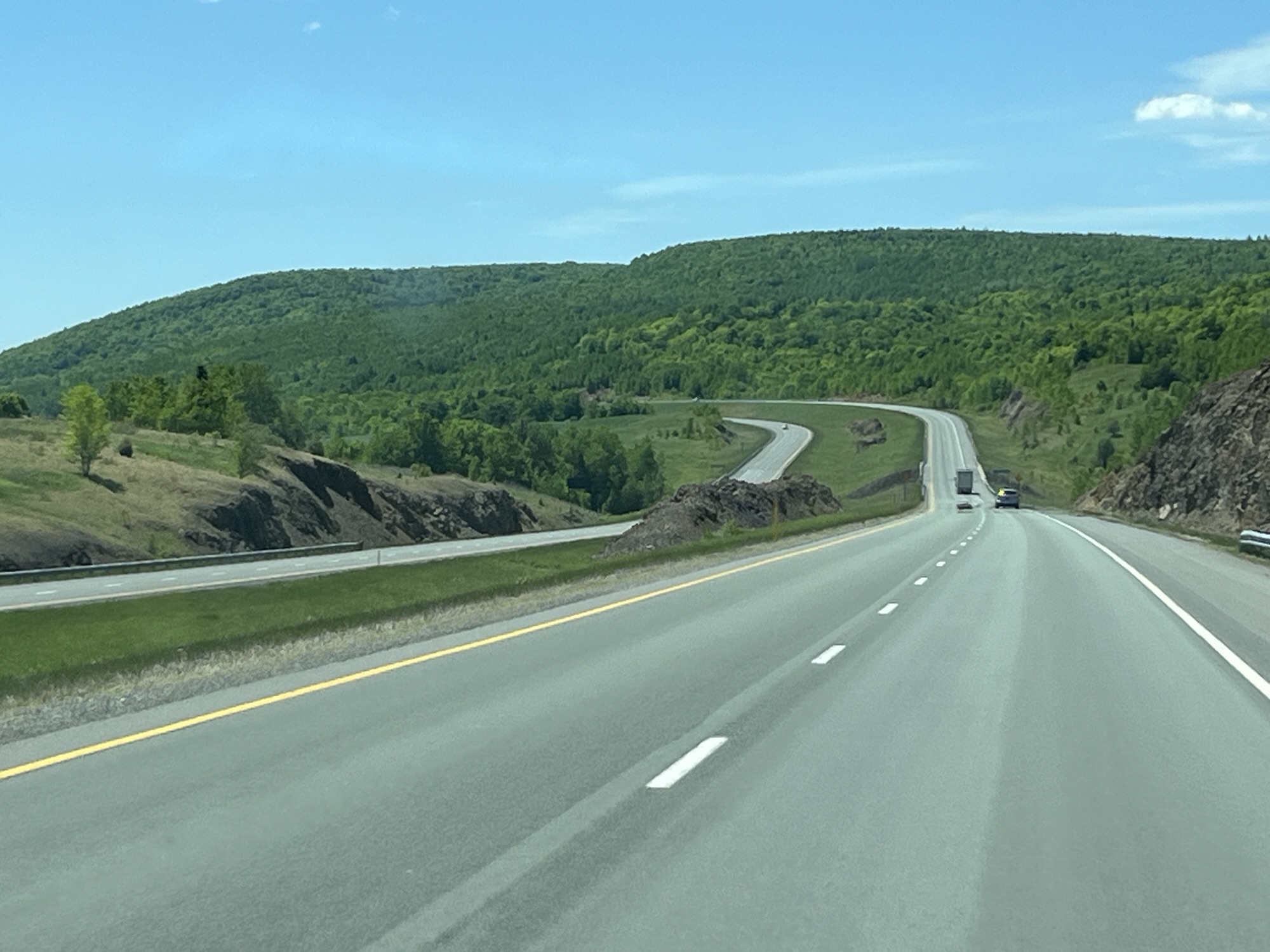
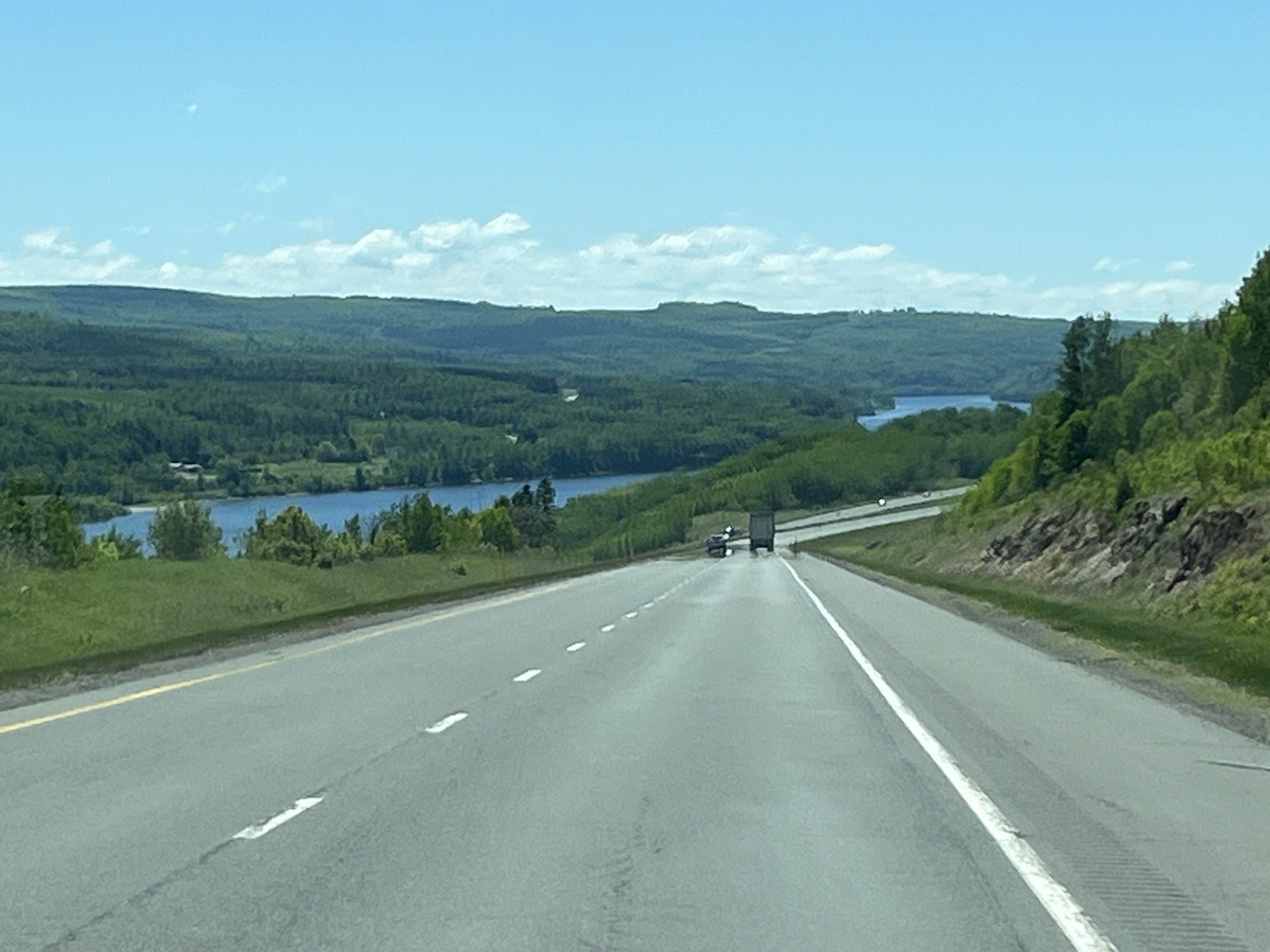
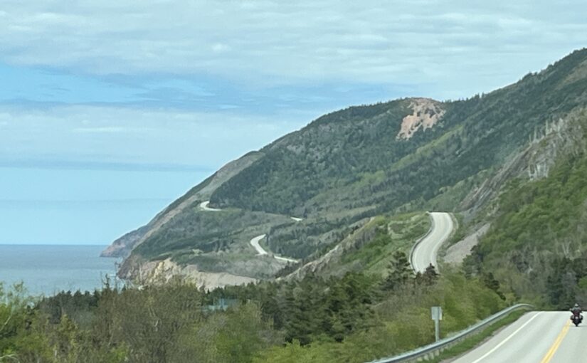
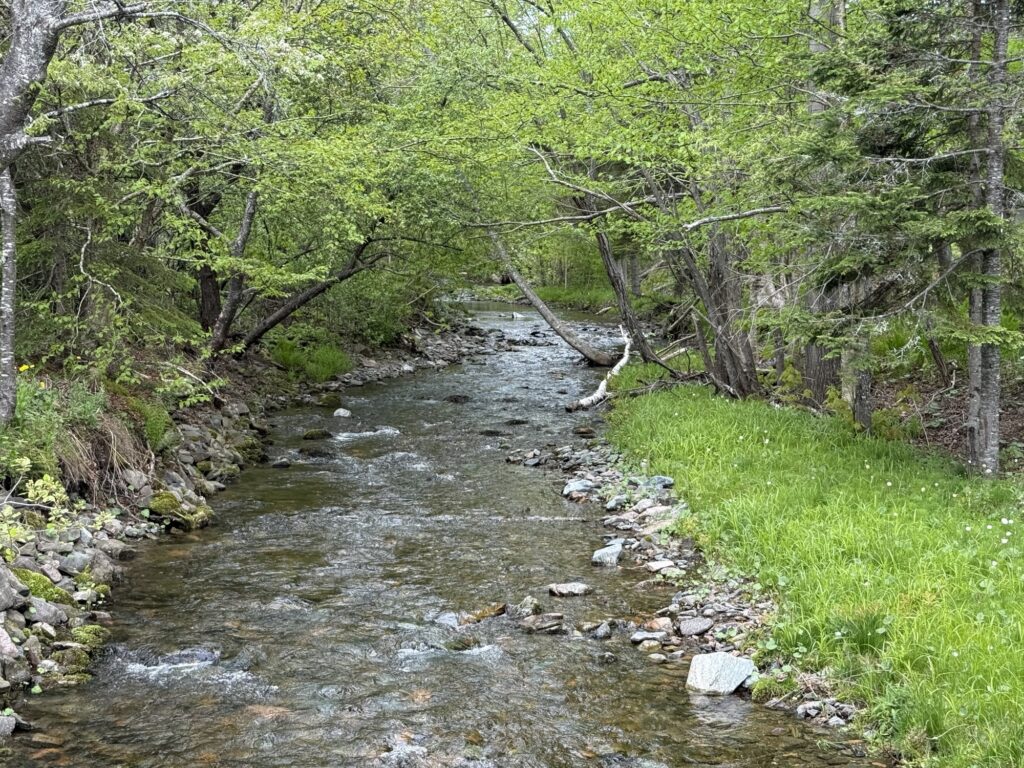
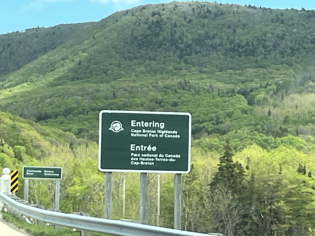
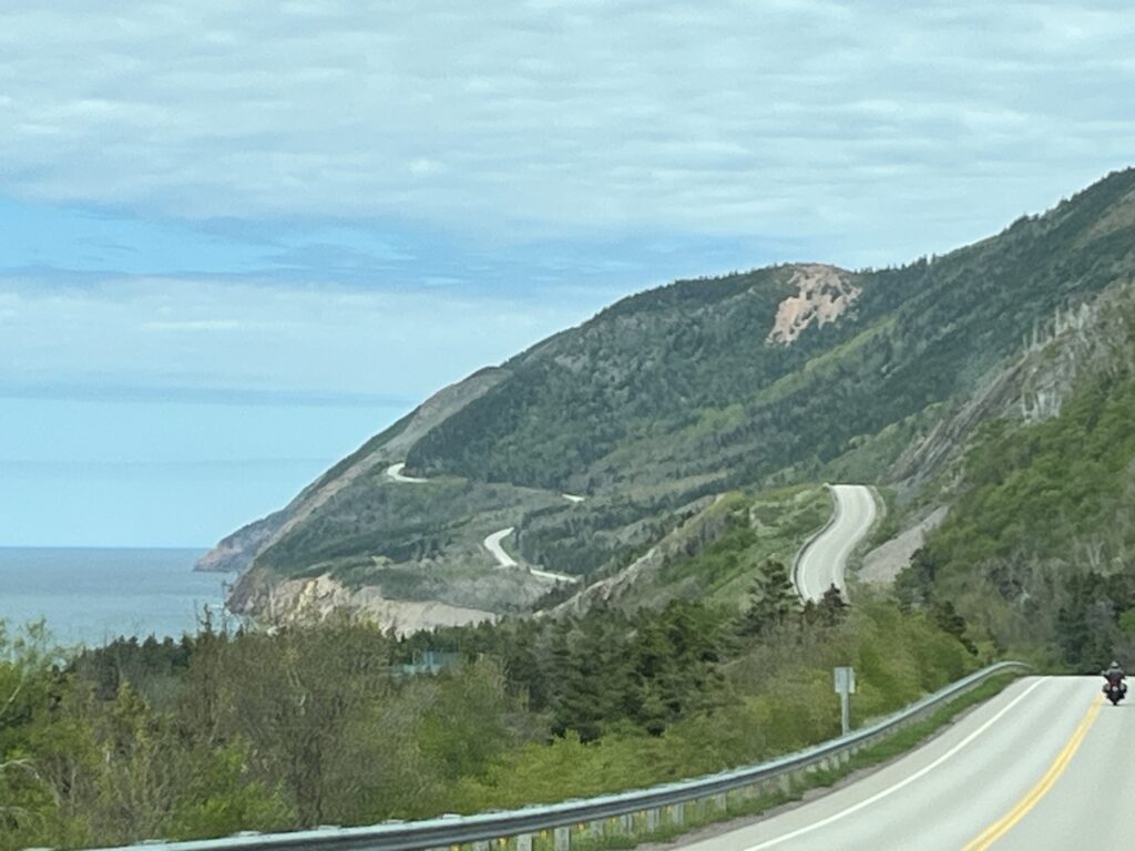
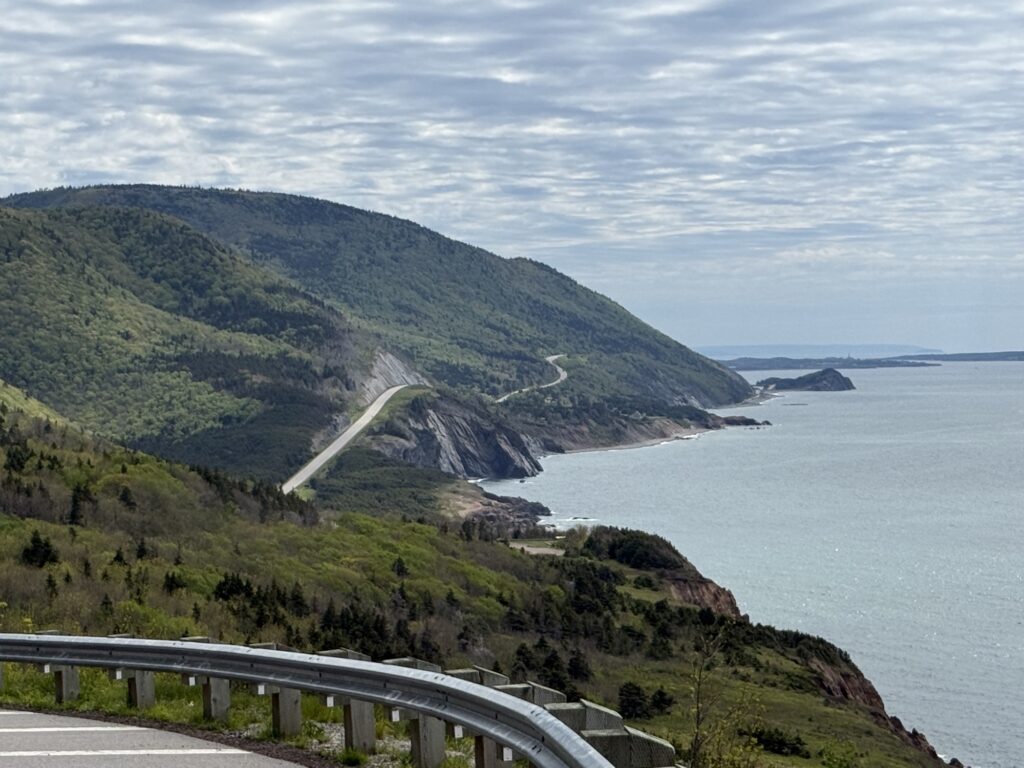
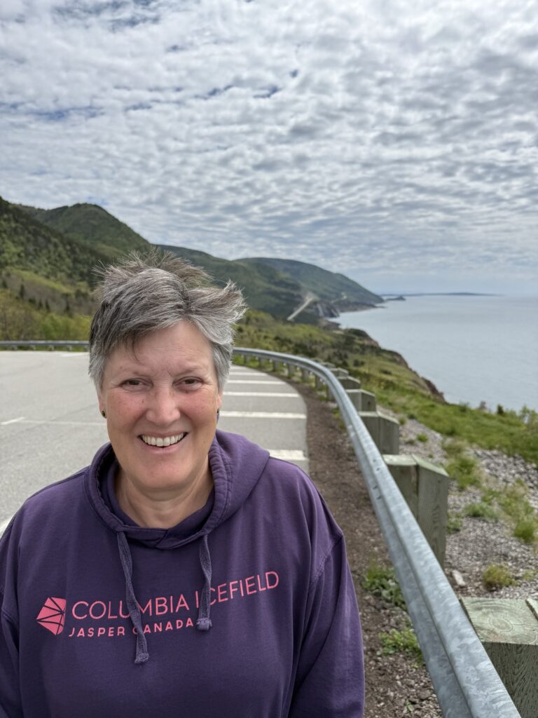
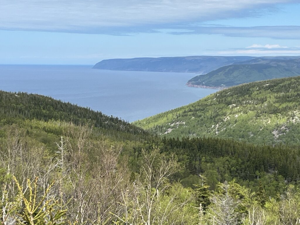
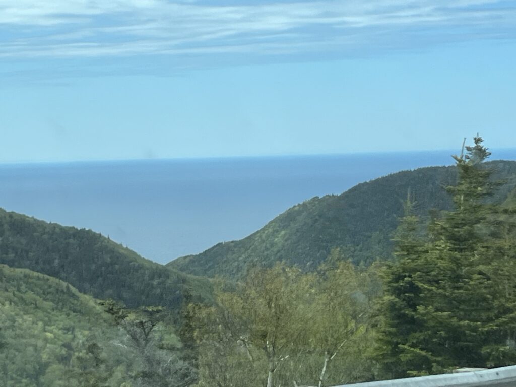
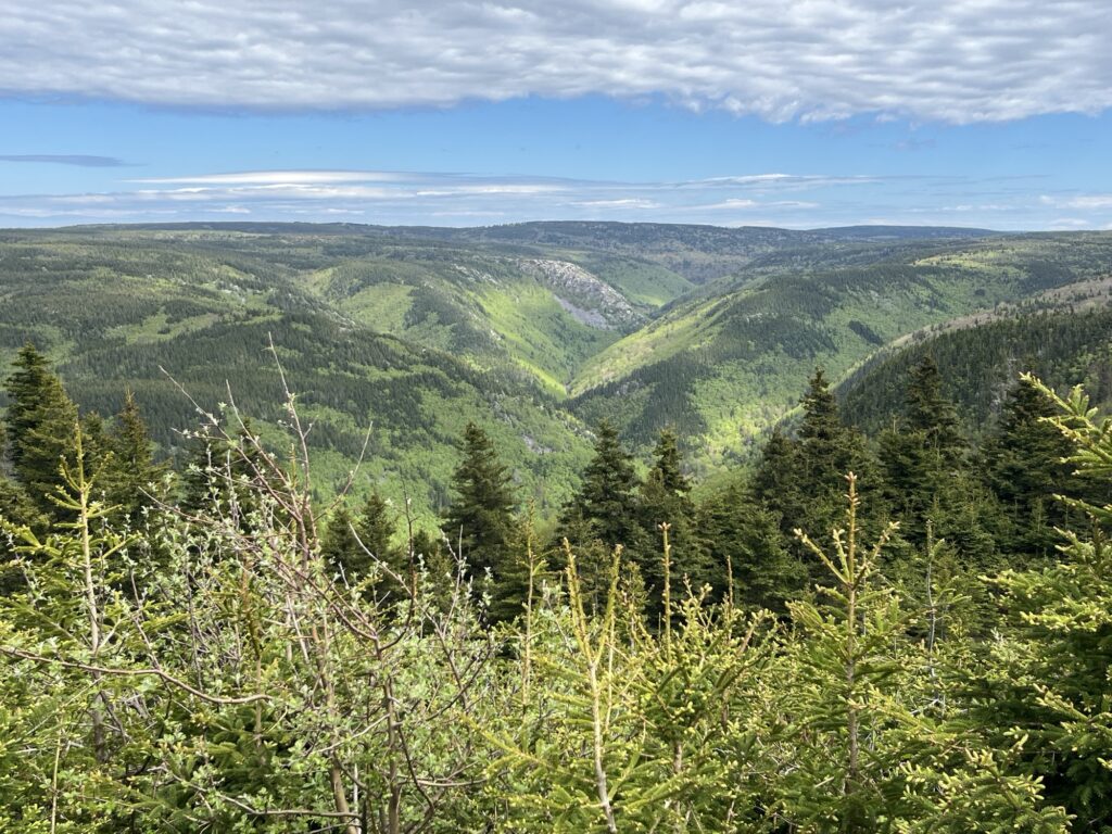
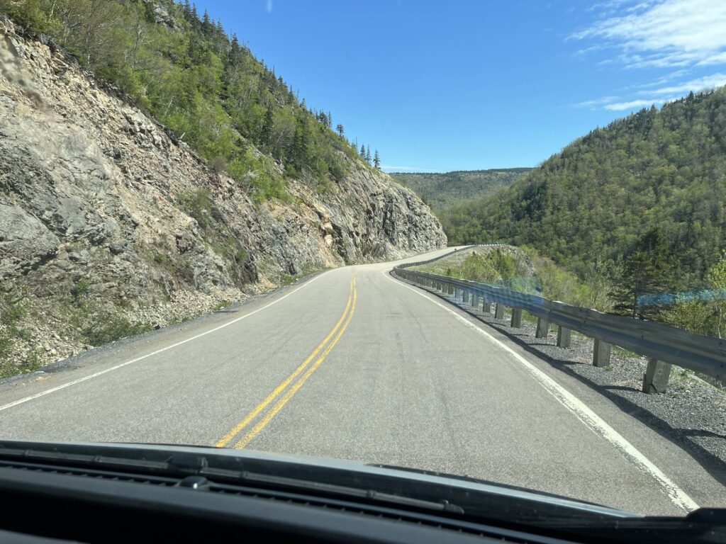
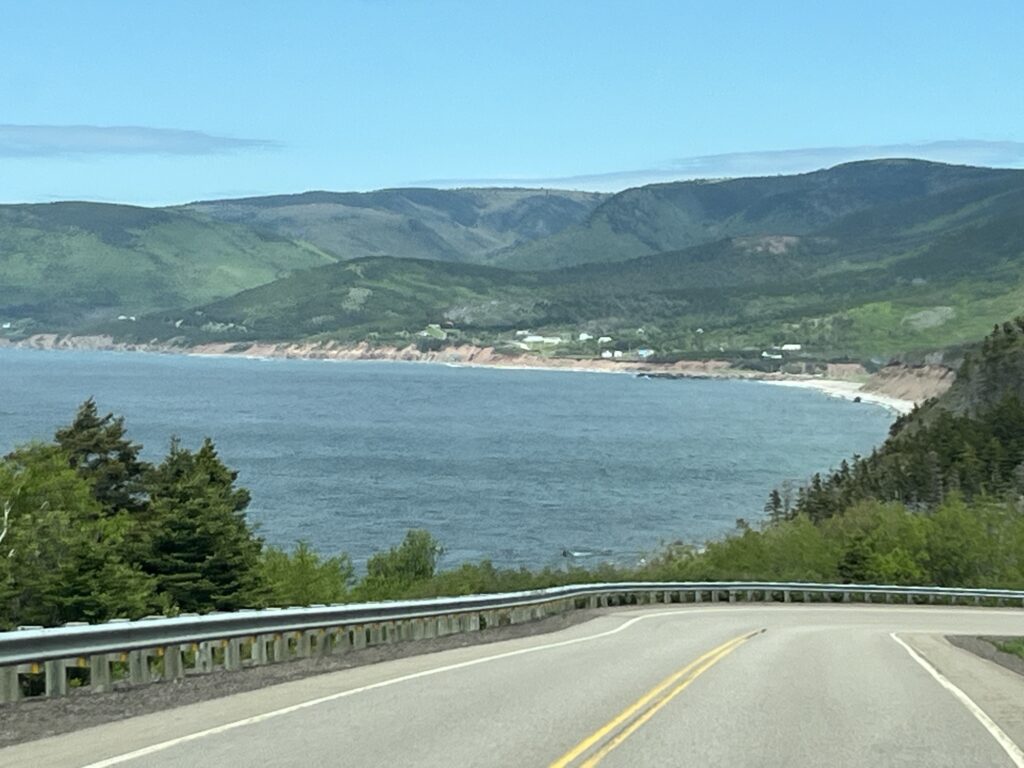
Up – The Cabot Trail, and I mean waaay up! (& down). The views today in a word were Spectacular! The Cabot Trail today was relatively quiet allowing us to slow ‘down’ and enjoy those views.


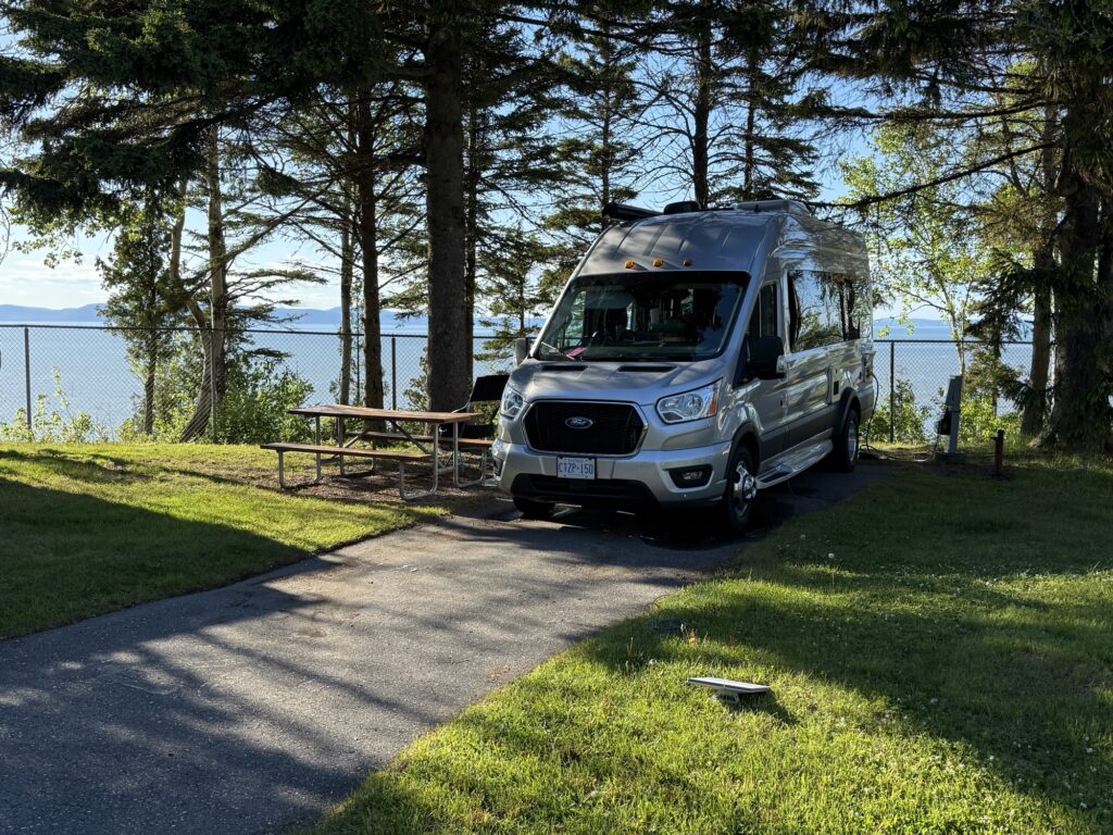
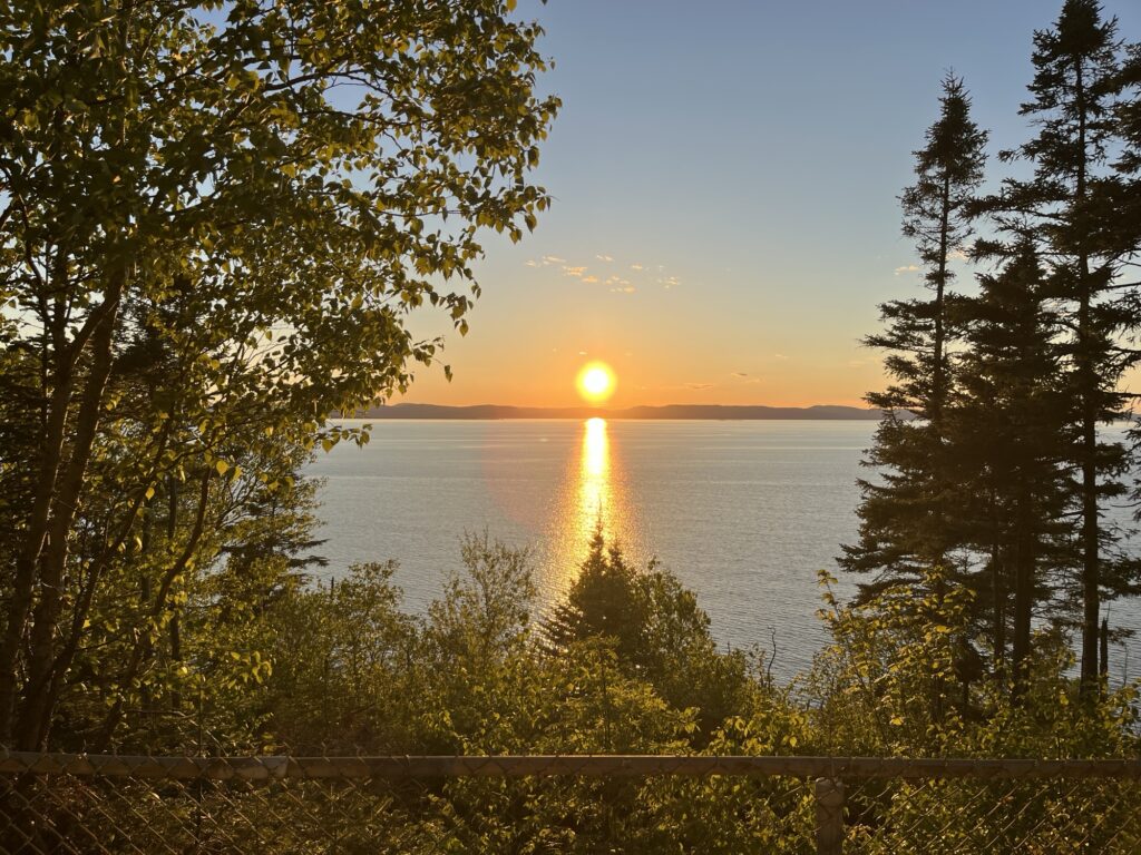
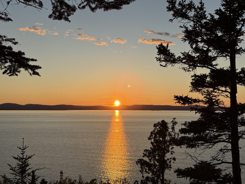
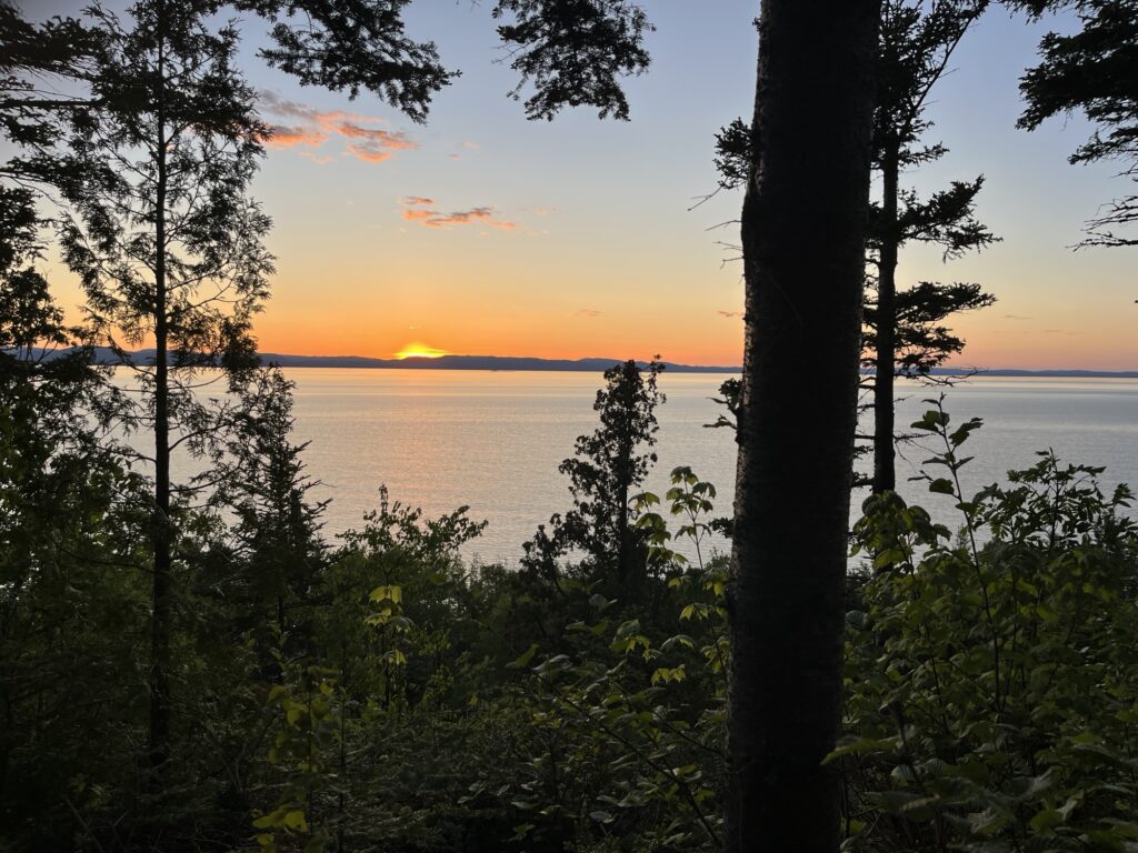
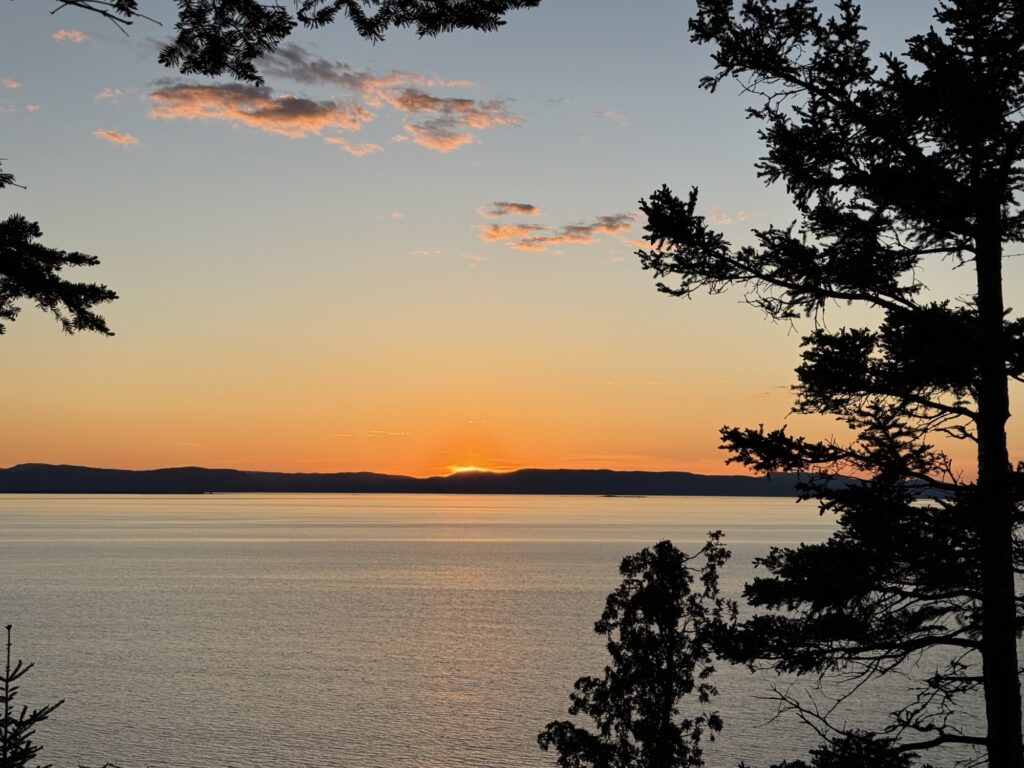
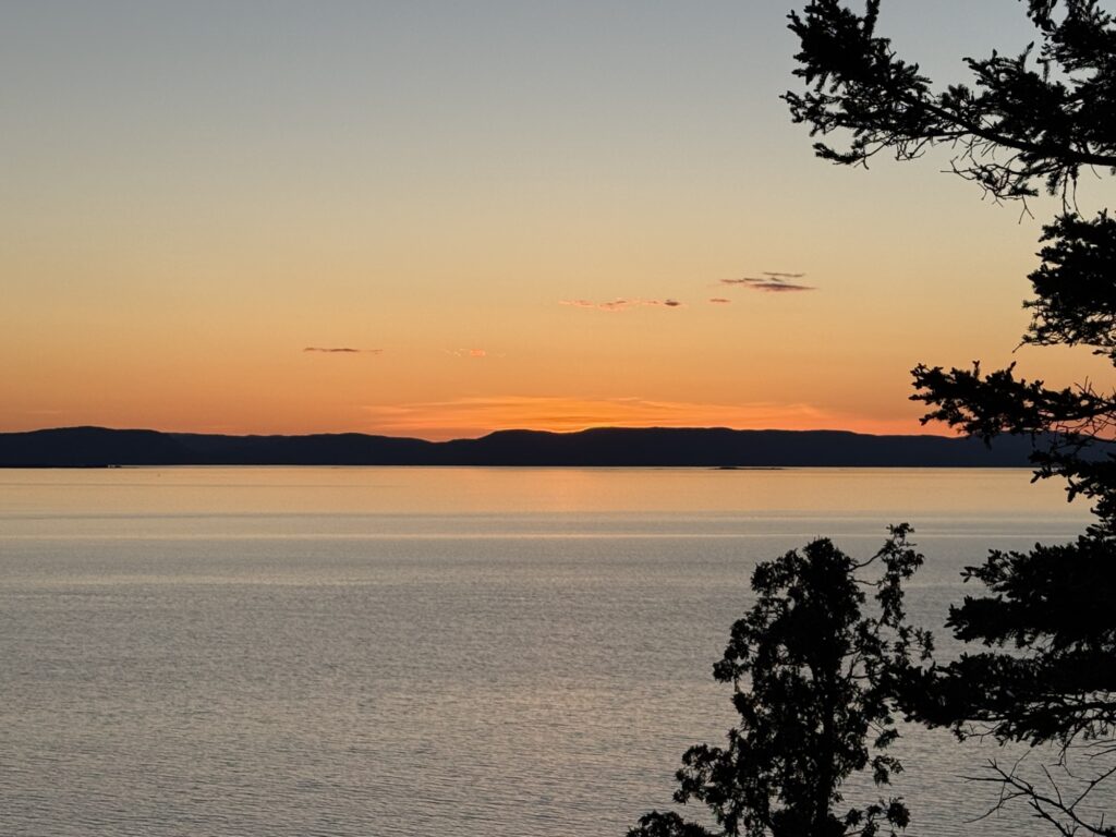
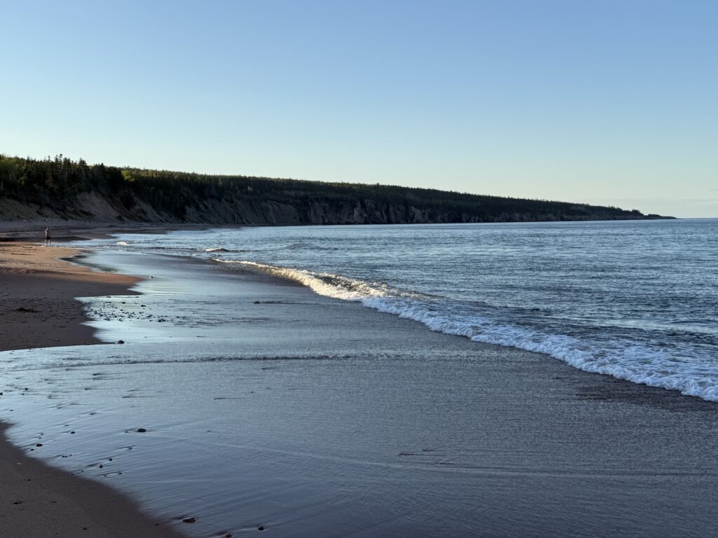
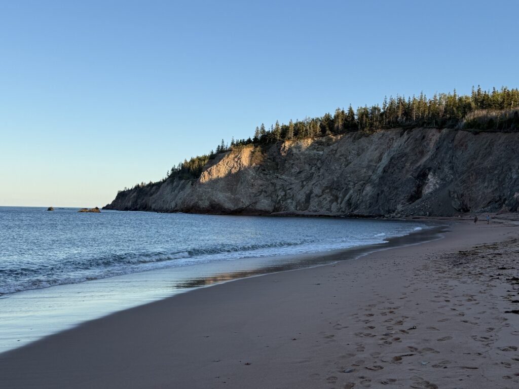
Up – Broad Cove campground. Nice level and open sites. So far a very peaceful place at which to end the day. The beach is also epic.
Down – The BBQ quick connect on our van is seized preventing the connection of our Blackstone griddle for outdoor cooking.
Up – I should be able to fix this tomorrow with a little WD40 (that I have to buy).
Down – Cape Breton Black Flies. Wow they’re thick and voracious chasing us into the van rather than enjoying the sunshine outdoors.
So… How many Ups & Downs was that? We had a great day and have really enjoyed our first day on Cape Breton. Looking forward to what tomorrow has in store for us.