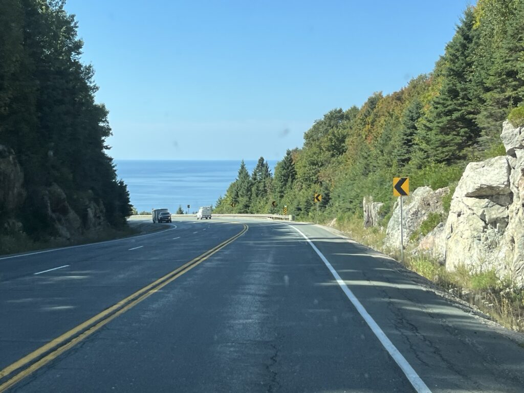
A slightly shorter but no more complex driving day today as we again simply followed the TCH most of the day.
It started shortly after 8:00am with us leaving the Pancake Bay Provincial Park after not finding garbage cans for our waste. We simply drove 3km down the TCH and then used an MTO (Ministry of Transport) provided trash receptacle. 45 min later we arrived in Sault Ste-Marie where we topped off with fuel and headed on our way. Eastward today, towards Sudbury. It was a nice drive and not too busy with traffic. We stopped at the Elliott Lake turnoff where there is a nice information center that suited as a place for our picnic lunch.
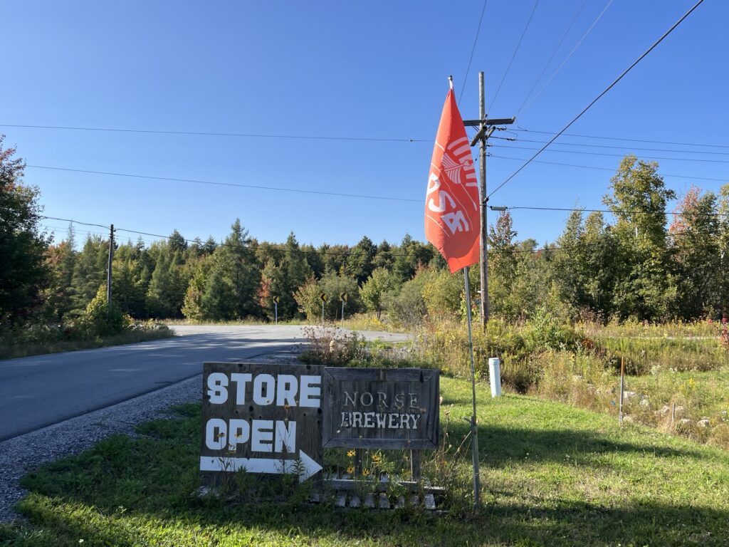
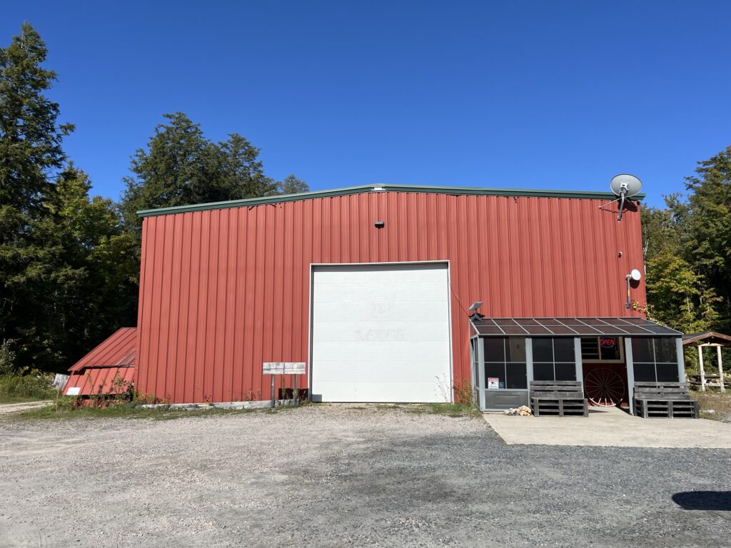
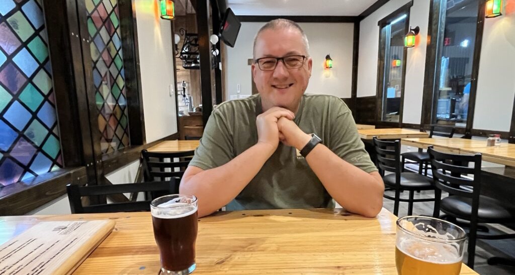
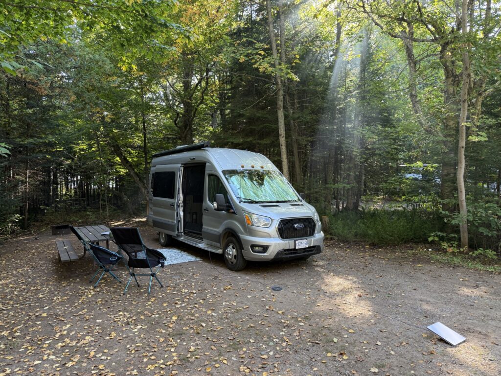
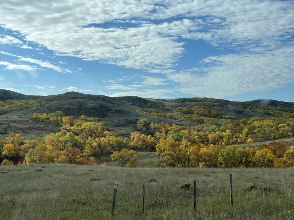
After lunch we continued East to Sudbury where we turned South on Hwy69 towards Parry Sound. We stopped again for fuel so that we’d have a full tank to start tomorrow and then stopped at the Norse Brewery for a burger and a beer before heading to Killbear Provincial Park where we will be staying tonight.
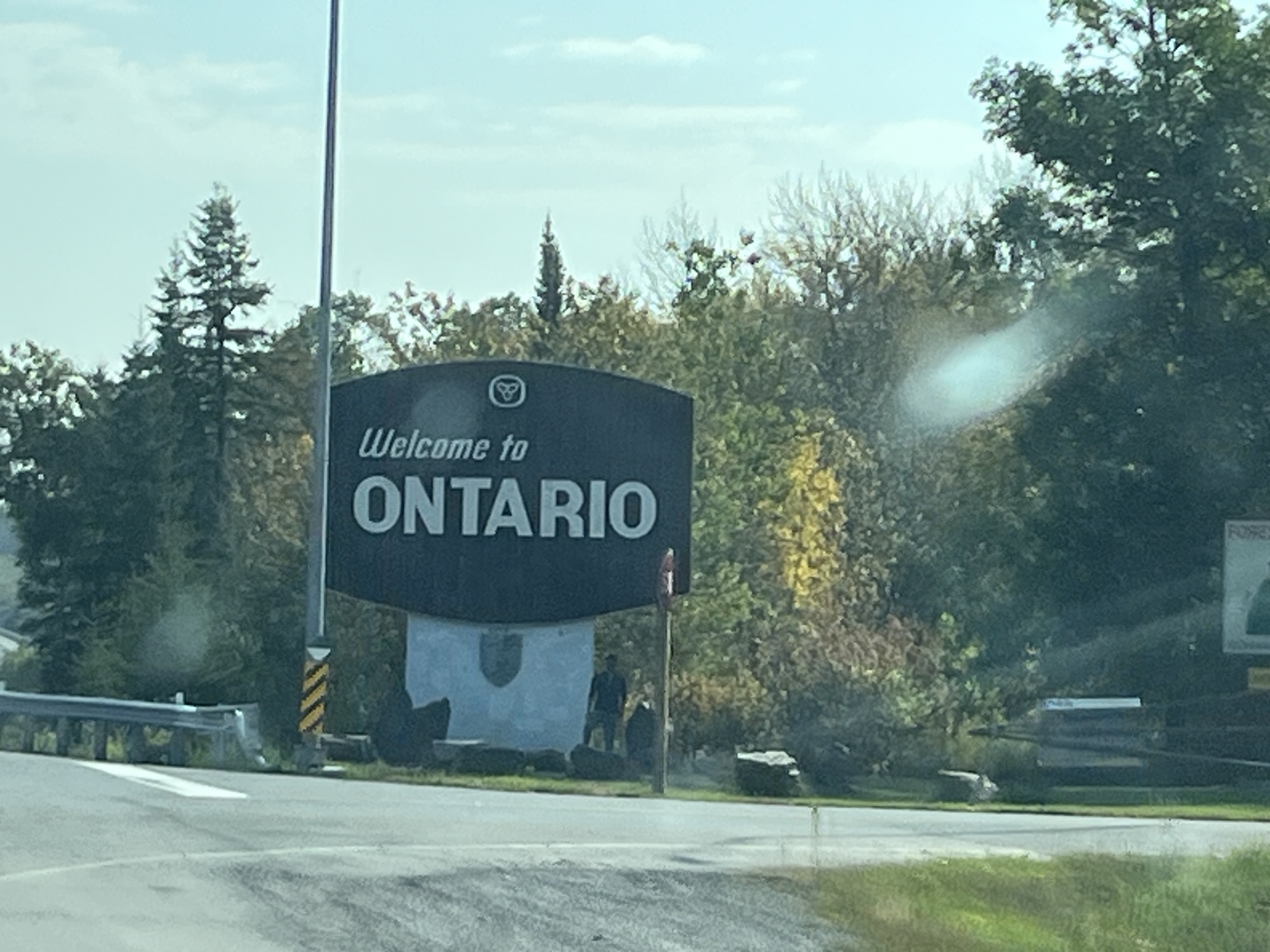
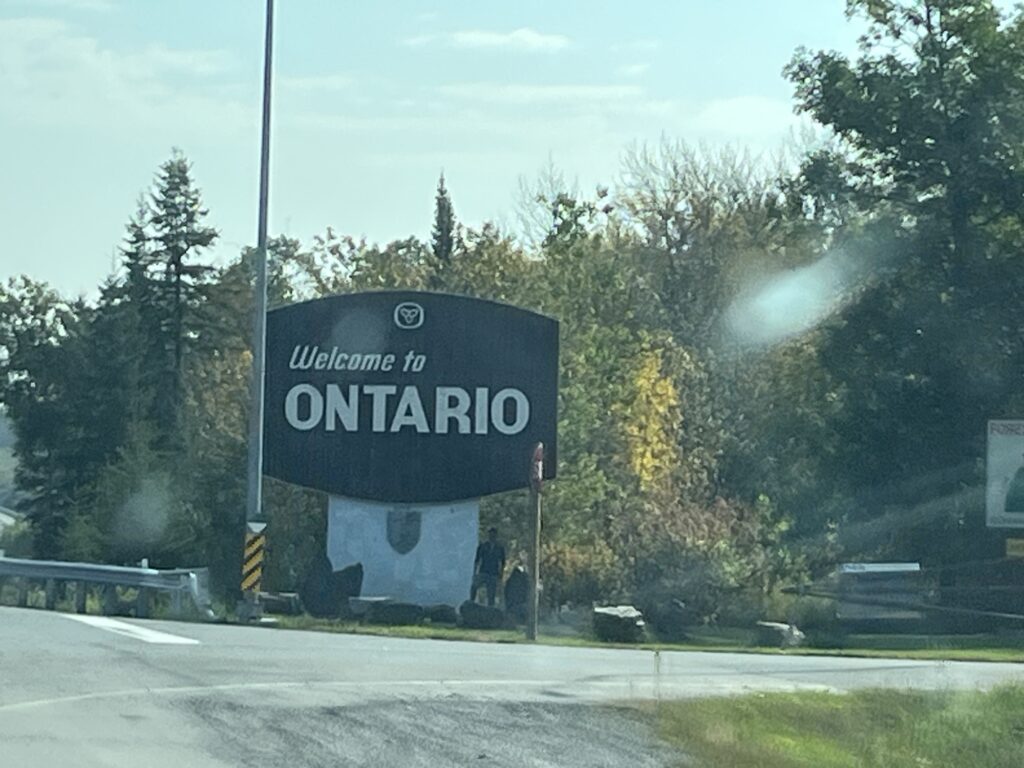
An uneventful and easy drive. Just as we like them. Tomorrow we head into Southern Ontario to visit family.
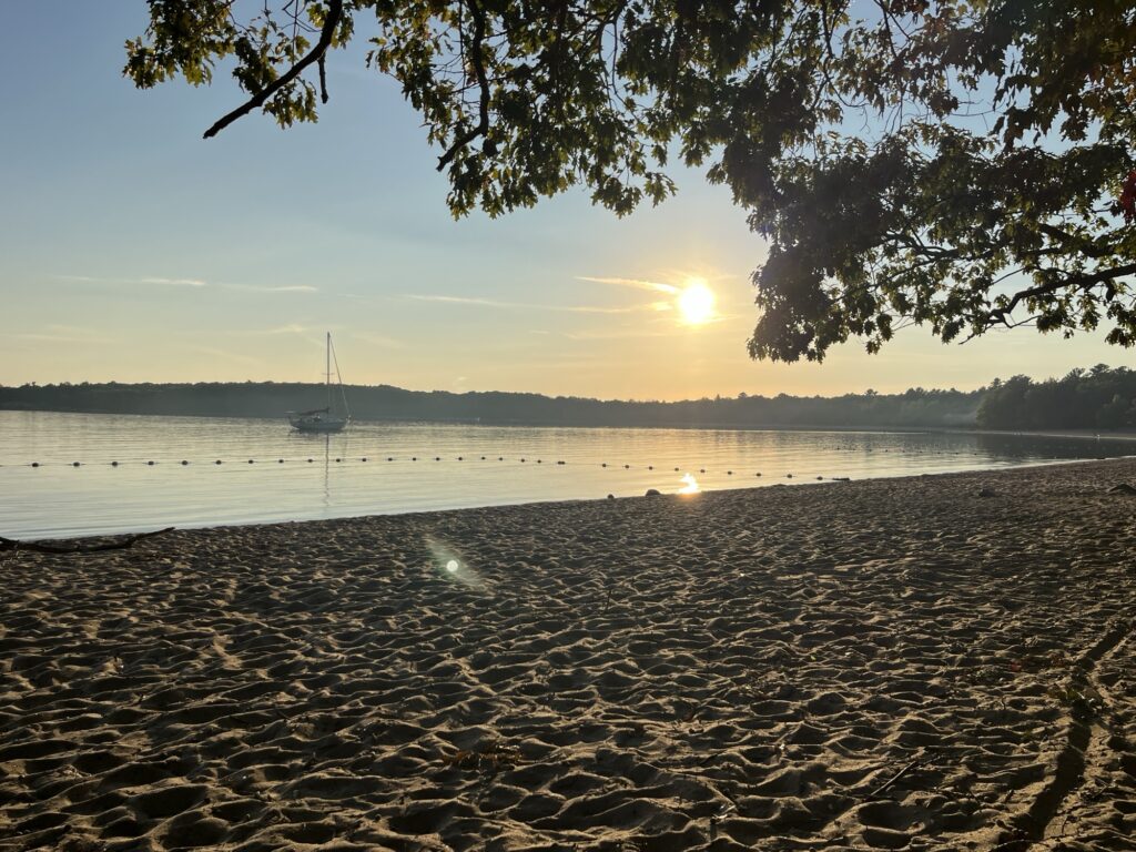
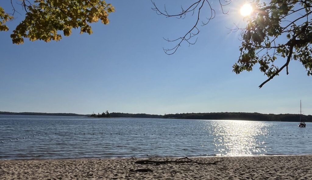
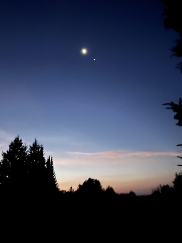
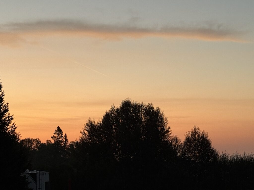
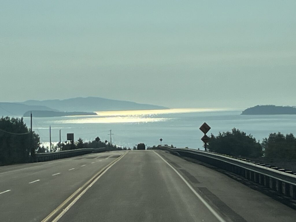
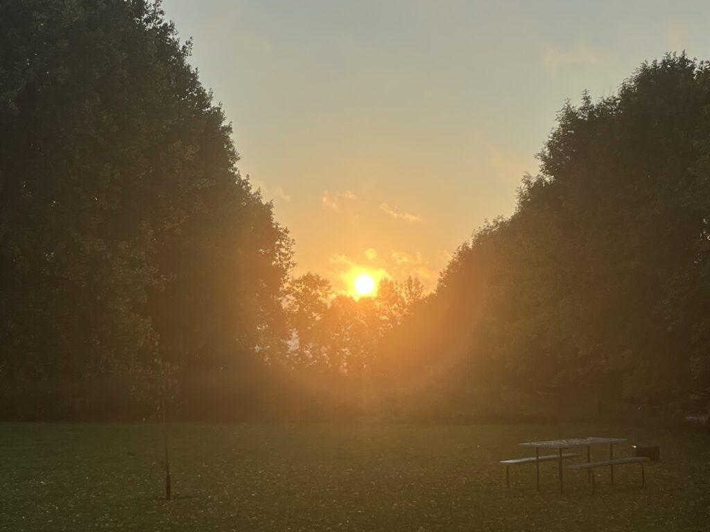
Well, what can I say about today? We got up early, showered and left. On the road before 8:00am heading to Tim Horton’s in Nipigon. We did take a couple of early morning photos of the sky which I share below.
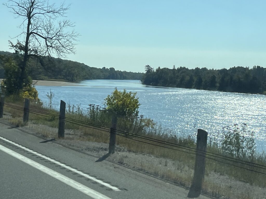
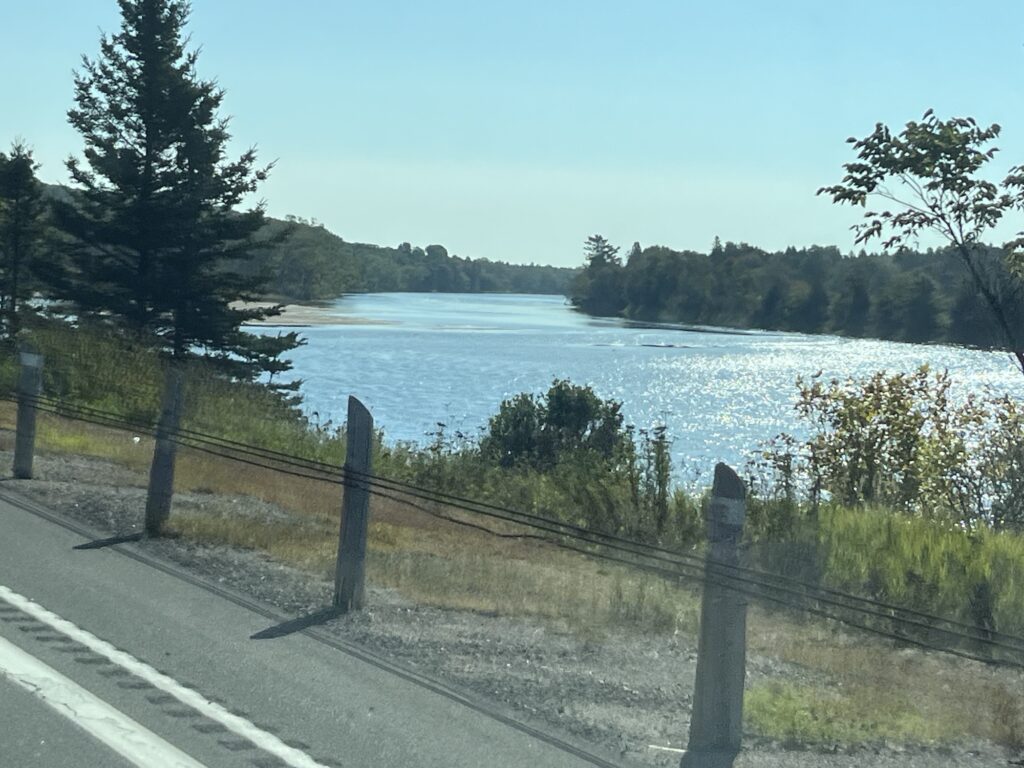
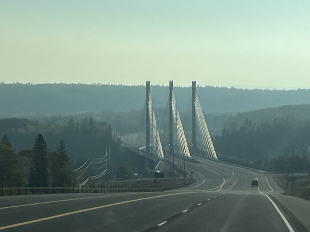
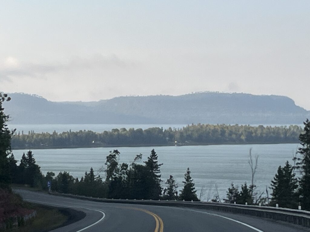
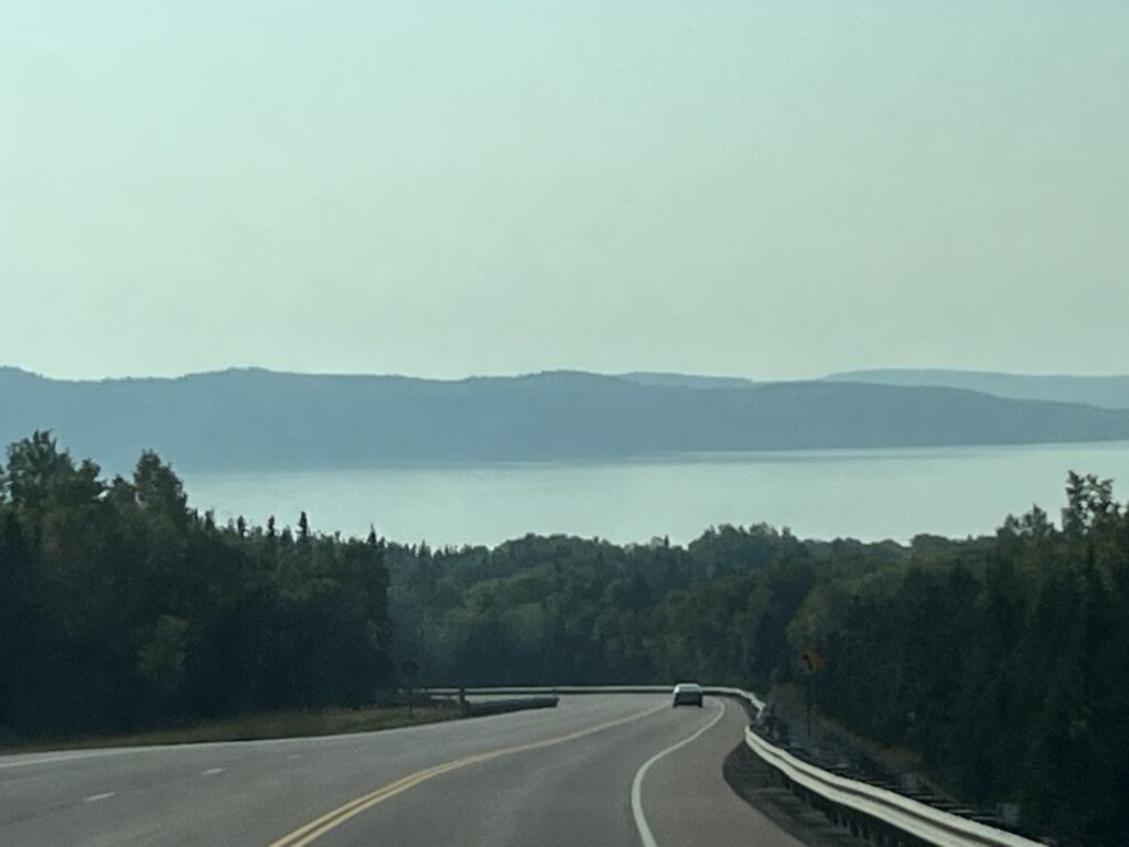
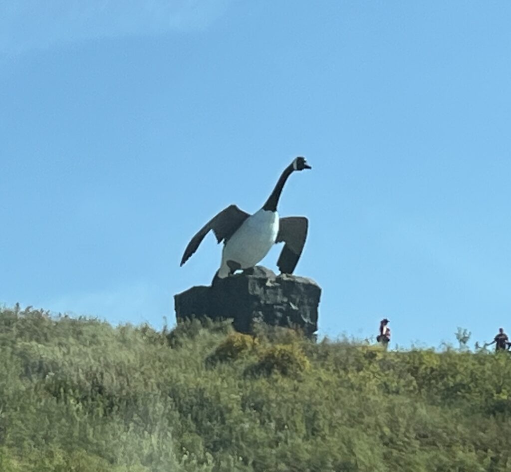
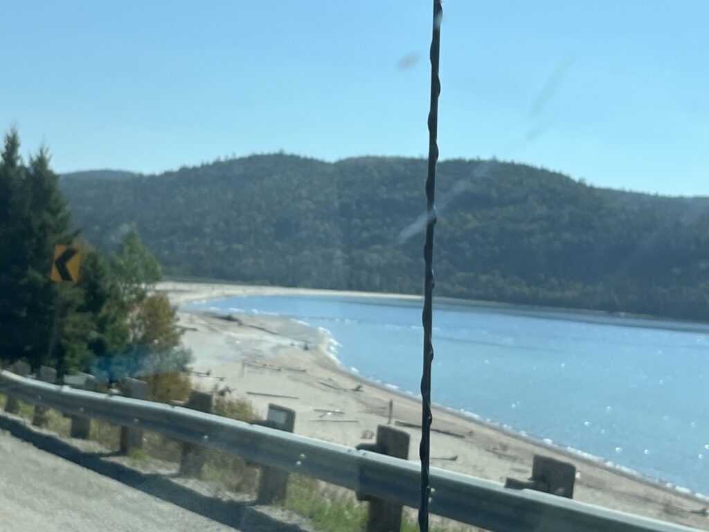
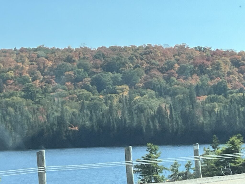
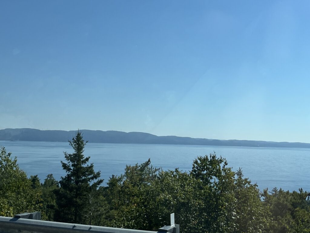
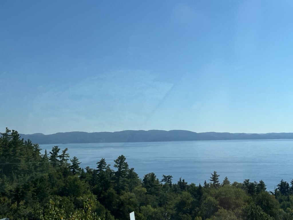
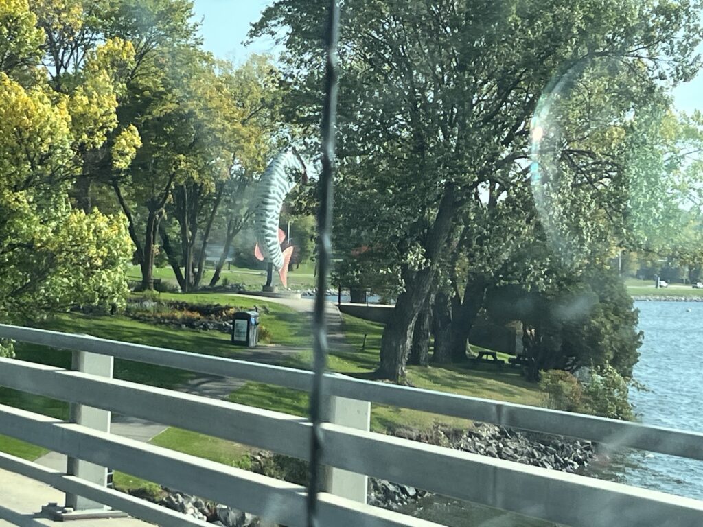
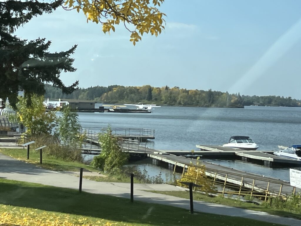
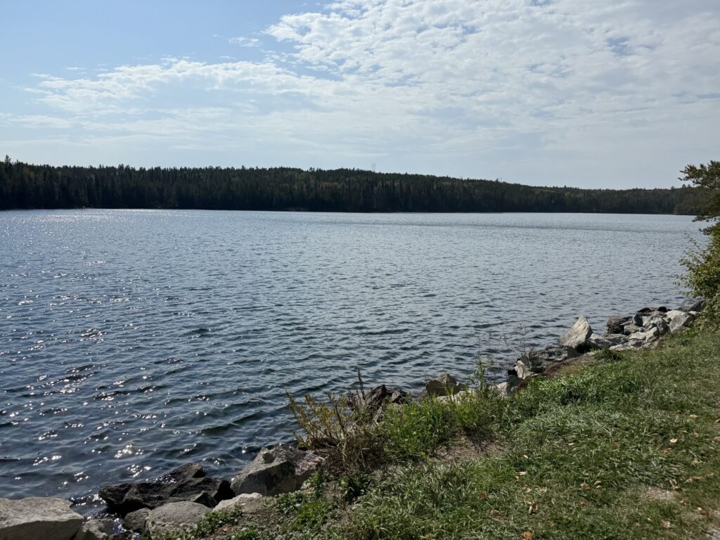
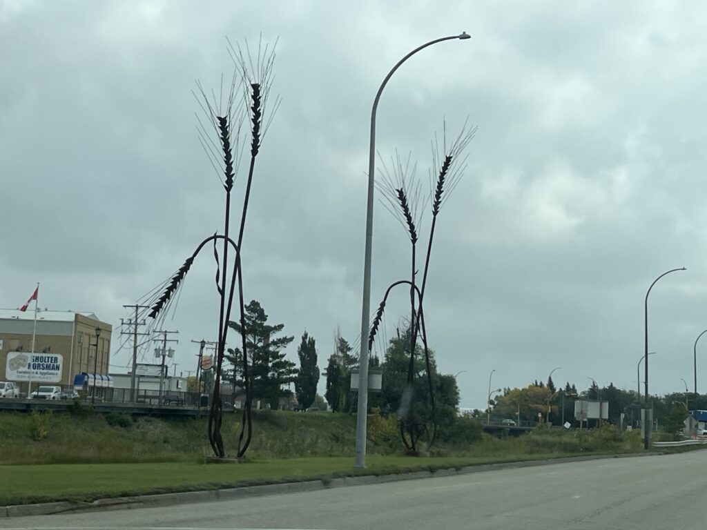
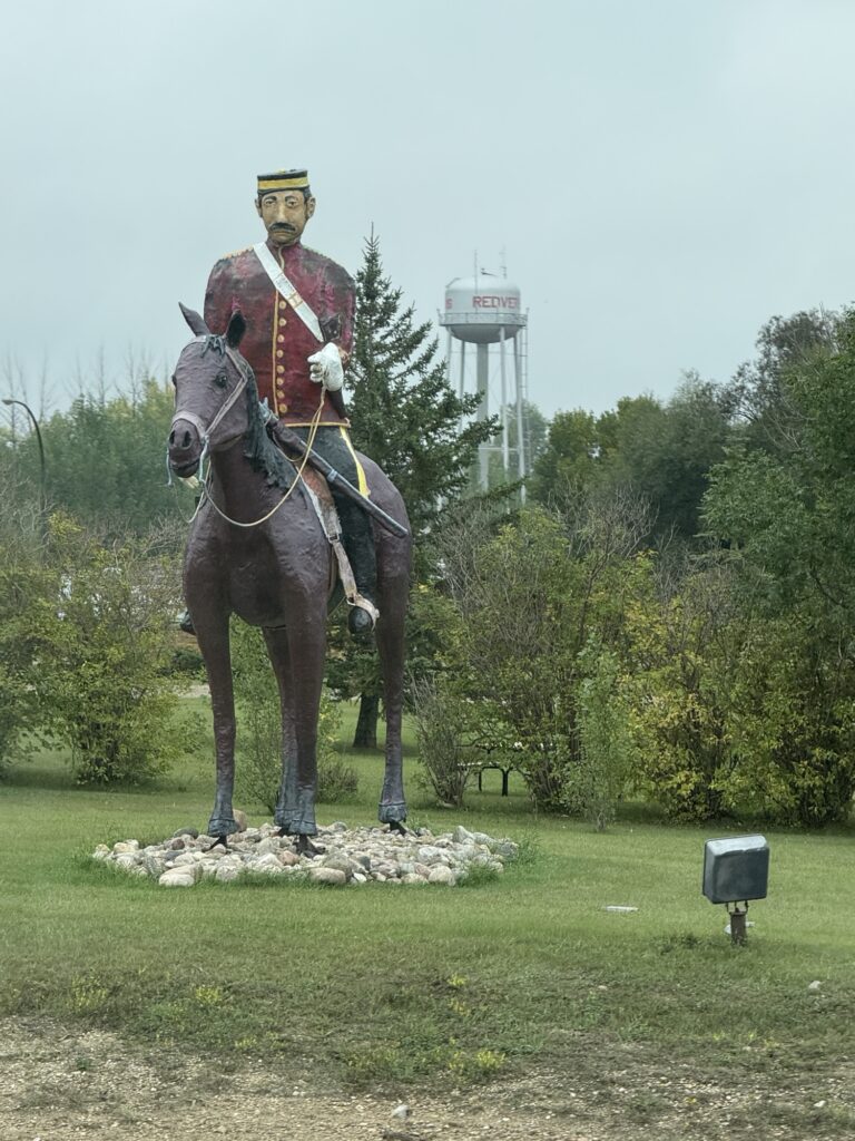
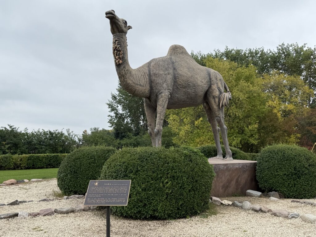
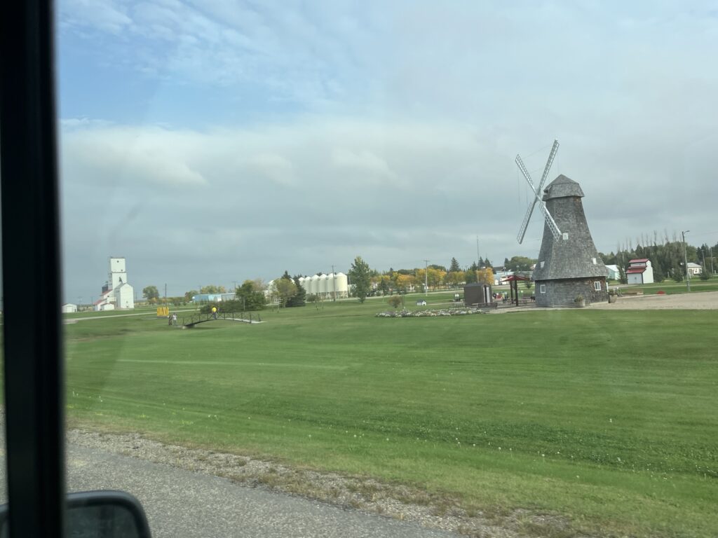
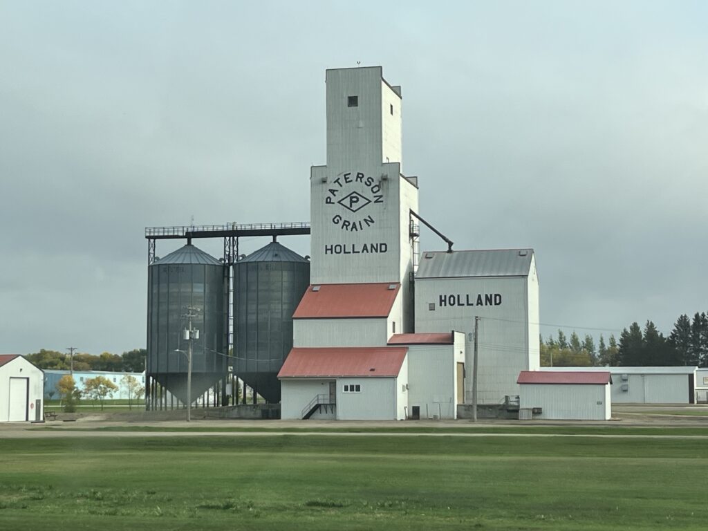
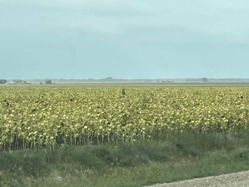
Today’s route was a simple one, follow the TCH from Thunder Bay to Pancake Bay (80km North of Sault Ste-Marie). No turns, no decisions except where to buy fuel (White River) and where to stop for our picnic lunch (Just South of White River). We saw a few things and I’ve added pictures as proof.
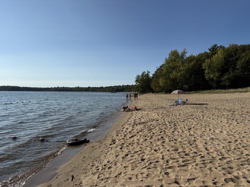
We arrived at the Pancake Bay Provincial Park at 3:15pm. Camp setup, Starlink connected, Barb doing laundry. Dinner will be hot dogs. Sleep will come easily.
Tomorrow, Killbear Provincial Park near Parry Sound, ON. Our journey approaches it end, just 3 more days.
A damp start to the day. After the rain las evening everything was pretty wet outside. The van had lots of poplar leaves on it from the trees at the back of our campsite. We were driving off of the site at about 8:10am, an early start as today we are planning on driving to Thunder Bay, ON which we anticipate will take about 9hrs.
Good morning Saint Claude, MB
A short 1 hr drive and we’re on the Winnipeg bypass and then on the TCH heading toward Ontario. Traffic is fairly light and we make good headway. We stop in Kenora for fuel rather than push our luck and hope we had enough to get to Dryden. The Husky gas station in Kenora has amazing staff who pumped the gas and cleaned both the windshield and the rear windows of the van! Nicely done.
We swung into the Tim Hortons parking lot for a coffee and TimBits and found that the parking lot was not designed for 22’ vans. I managed to find a space long enough but backing out meant that someone waiting for the drive thru had to let me out. Luckily there are nice people in Kenora and we were back on the road in just a few minutes.
We stopped to eat a picnic lunch at a rest area on Dixie Lake next to the highway. A beautiful spot for a short rest. The remainder of the drive to Dryden and then onto Thunder Bay was uneventful and we filled with fuel once arriving in Thunder Bay so that we are ready for the morning.
We are staying at the Thunder Bay KOA Holiday tonight with many other travelers. Barb was hoping to do some laundry but was told that the laundry was closed as of our arrival (due to lack of overnight travel insurance???) and would reopen tomorrow morning at 9:00am. Not useful for us as we will likely be gone by that time. Hmmmm, not impressed.
Tomorrow we will round the ‘lakehead’ and drive almost to Sault Ste-Marie.
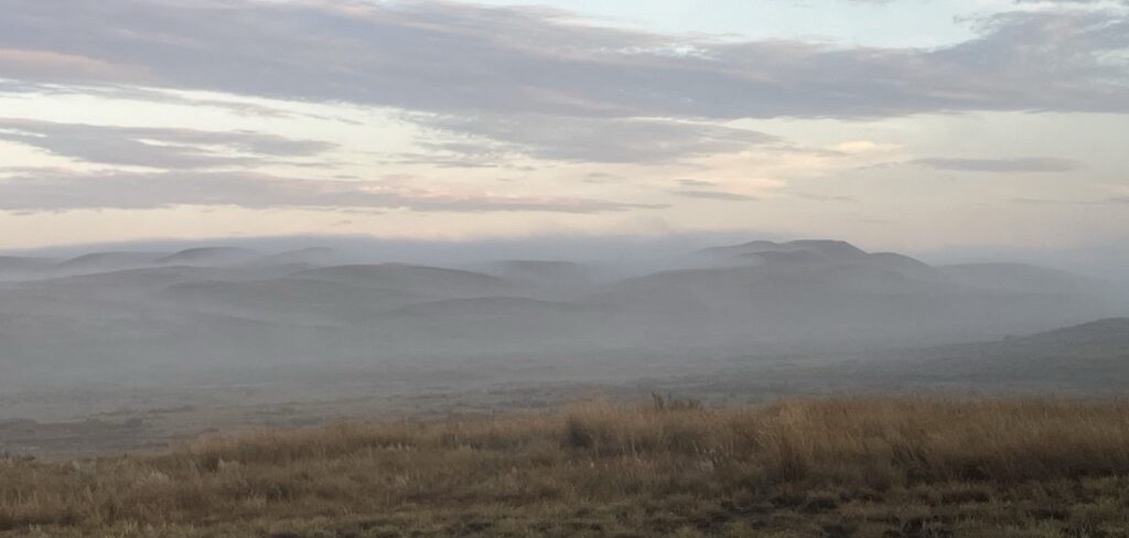
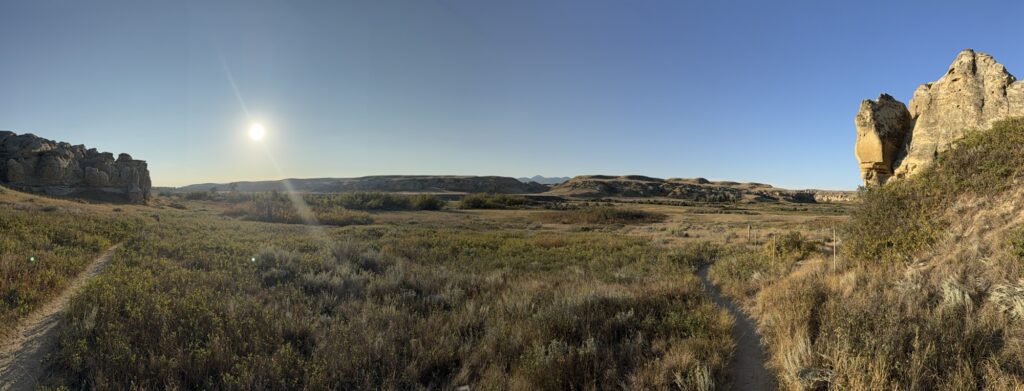
Wow, what a night! The stars were amazing out here and the air was so still and quiet. Barb did hear some coyotes early in the morning, but otherwise it was completely silent. A light fog hung in the valley when we awoke awaiting the sun to rise over the hills to burn it away.
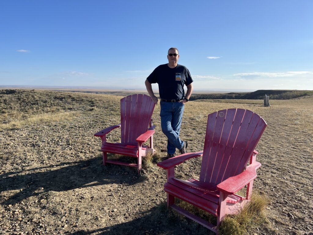
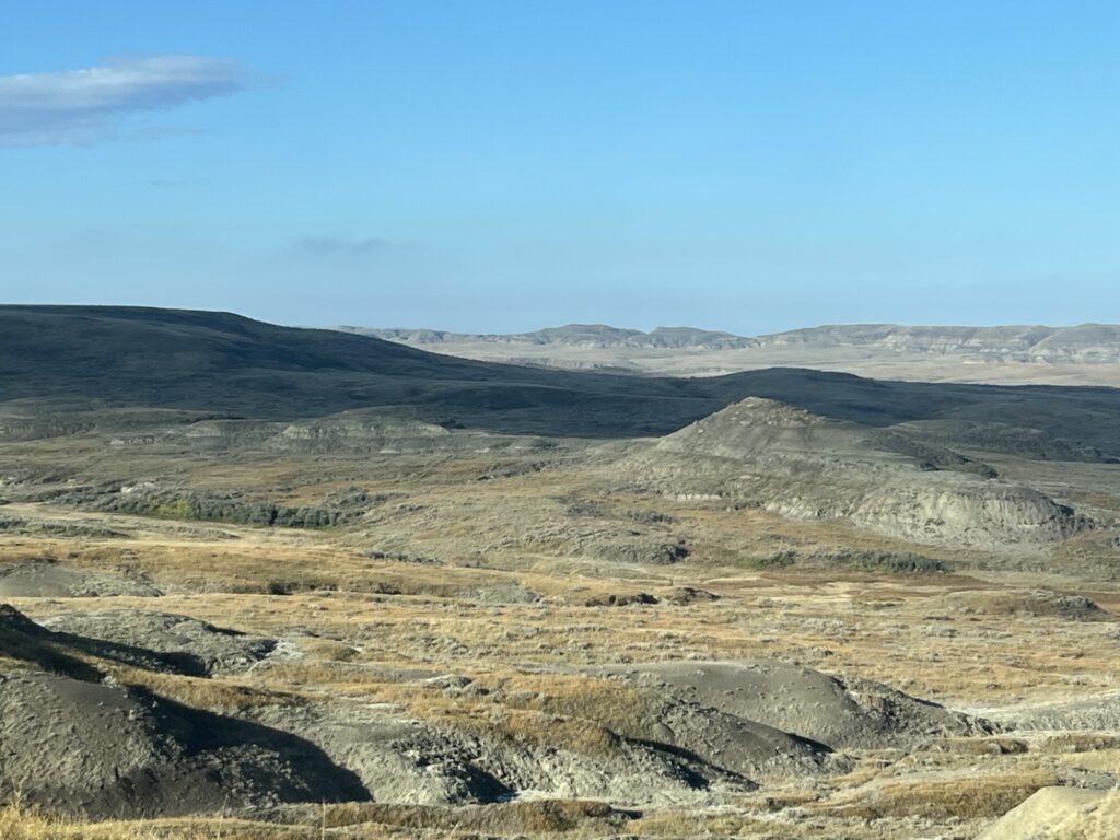
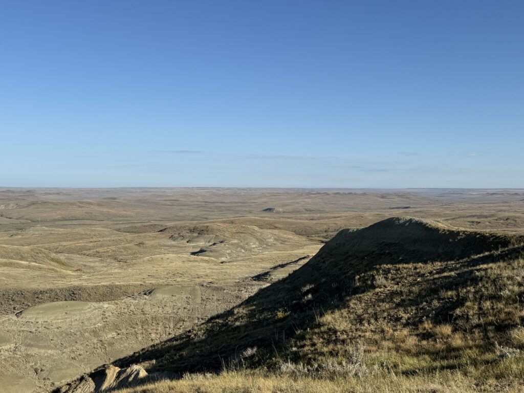
We completed our more rituals and prepared to leave, but not before exploring the drive along ‘The Parkway’ a 11km single lane paved road (with passing lanes) within the park that takes you to some very nice lookouts.
At about 8:45am we drove out of the park with the intent to drive East along the southern border of Saskatchewan towards Manitoba. Our plans changed when we realized that finding fuel in this remote part of the country is a challenge. Most small towns have fuel stations that are useful only for those Cardlock members. We found a small gas station in Willow Bunch, SK that was open this Sunday morning so we stopped. It was the first station that I had been to in many years where you were allowed to pump without prepaying. It’s nice to know that towns still exist where everyone is expected to be an honest customer.
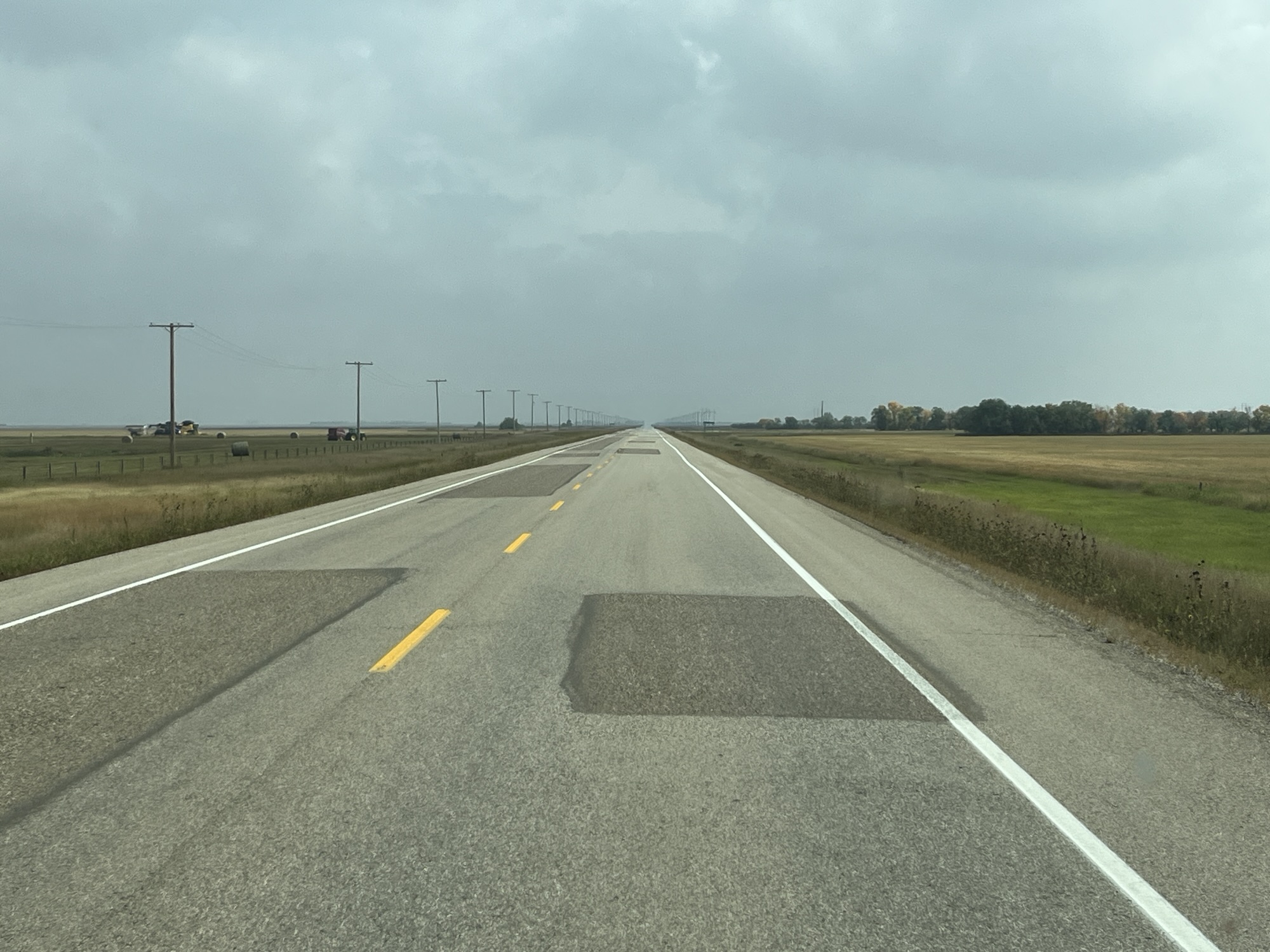
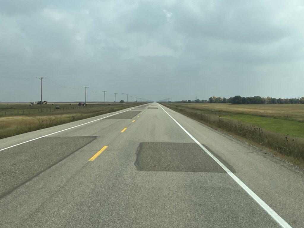
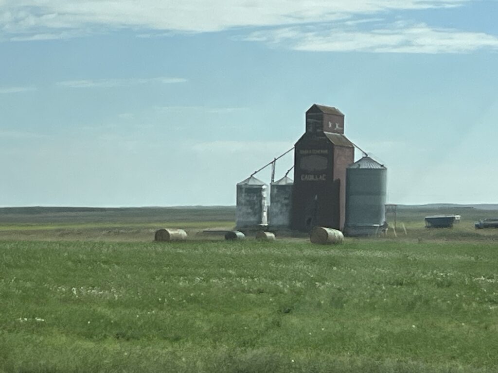
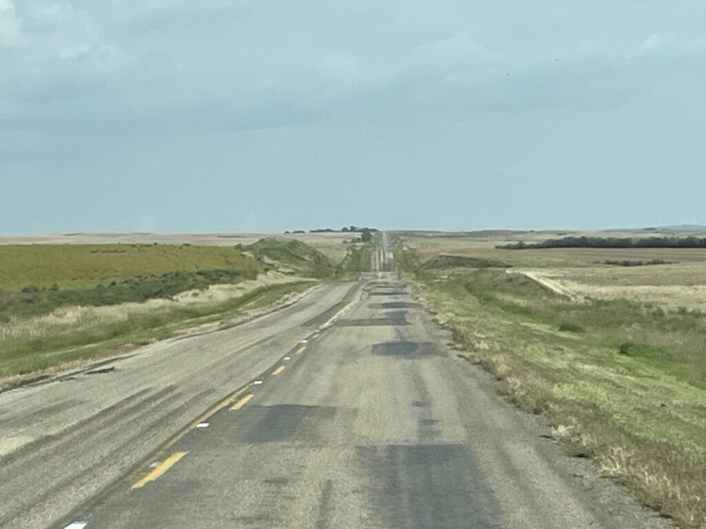
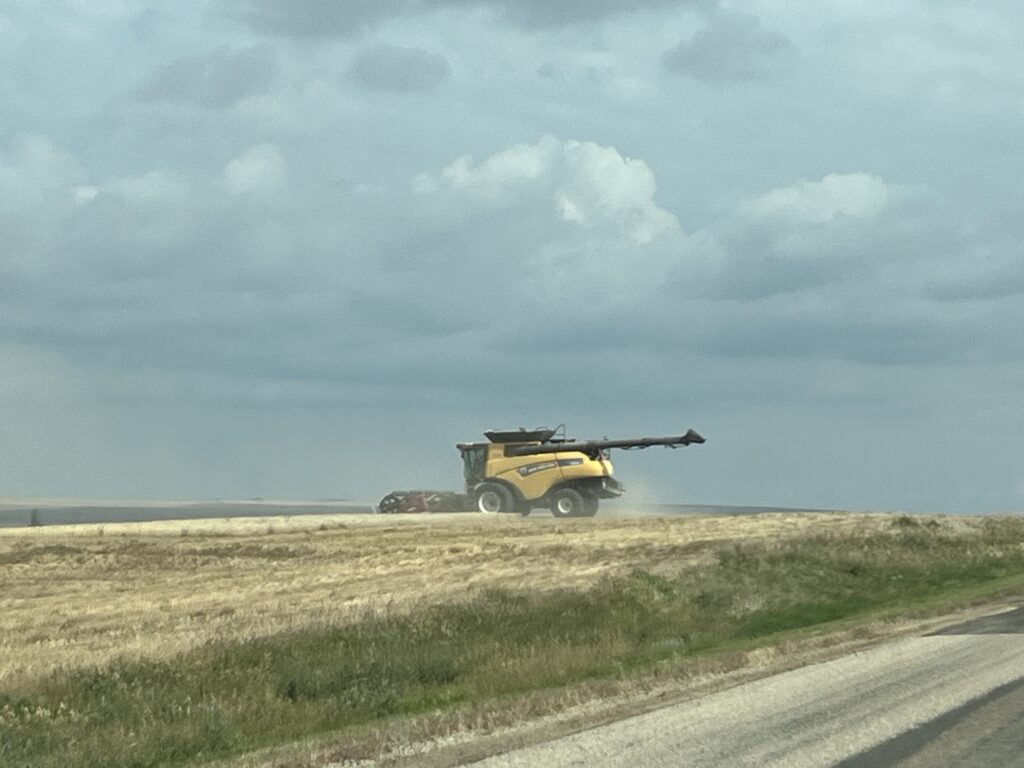
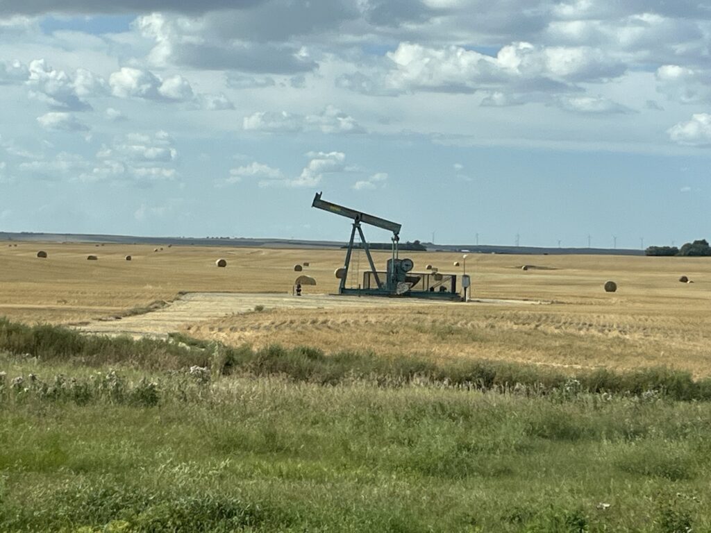
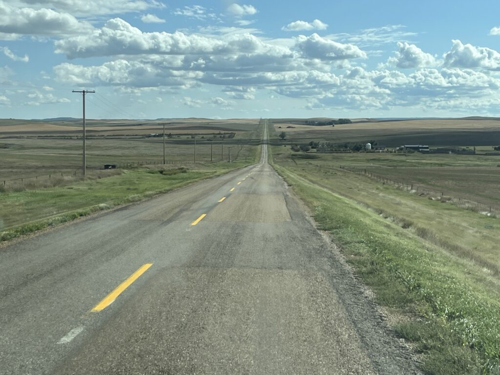
Having fueled the van for 600km we reevaluated our route and choose to take the Red Coat Trail eastward towards Weyburn, SK. The route started nicely amongst the rolling grassland hills but soon the landscape changes and we found ourselves on the flat agricultural plain that most people equate with the prairies. The road was straight, and I mean straight, for miles and miles. The landscape was flat, and I mean flat, for miles and miles! Time goes by much more slowly when the landscape around you seems not to change.
We stopped for a picnic lunch and changed drivers in Weyburn before continuing. Neither the road or the landscape changed and after some time we arrived in Manitoba where we stopped for fuel in Souris. The skies had darkened throughout the day and we were now driving through some light rain showers.
We stopped to pickup dinner at The Happy Plate in Rathwell and drove a few more miles to Saint Claude, MB where we stopped for the night. The town has a wonderful municipal campground with grassy full-service sites. We settled in and enjoyed our dinner at a picnic table as the rain had not reached here. This changed at 10:00pm when a thunderstorm passed through.
All for now. Our friends Mr & Mrs Milddogs (Dave & Liz) have just started their Fall van adventure to Nova Scotia. Follow their adventures here if you’re interested.
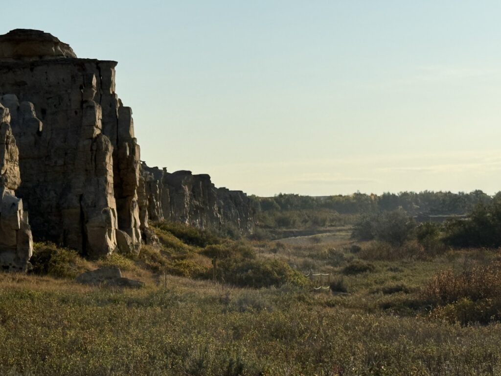
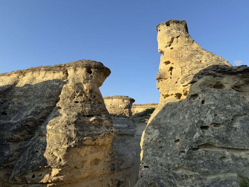
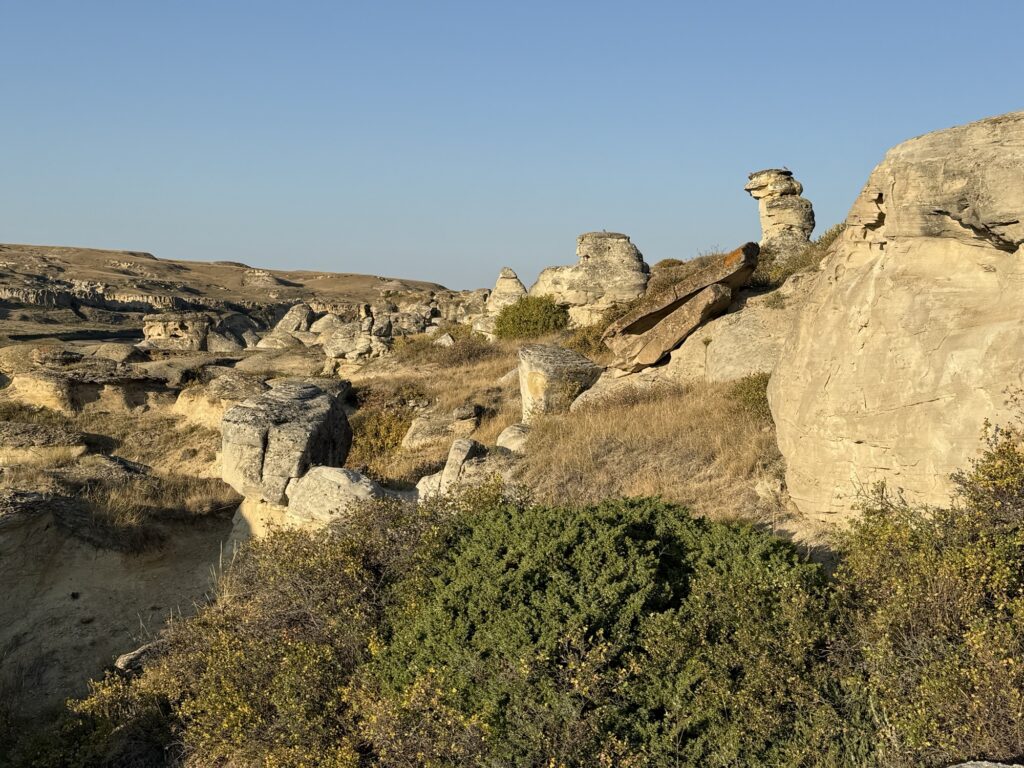
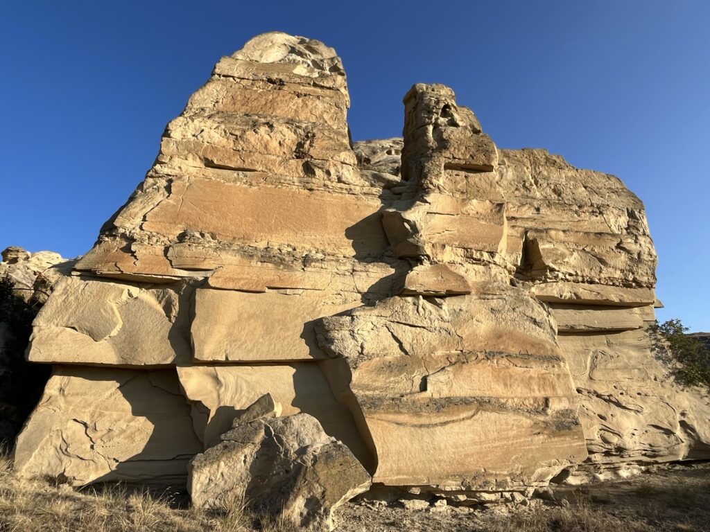
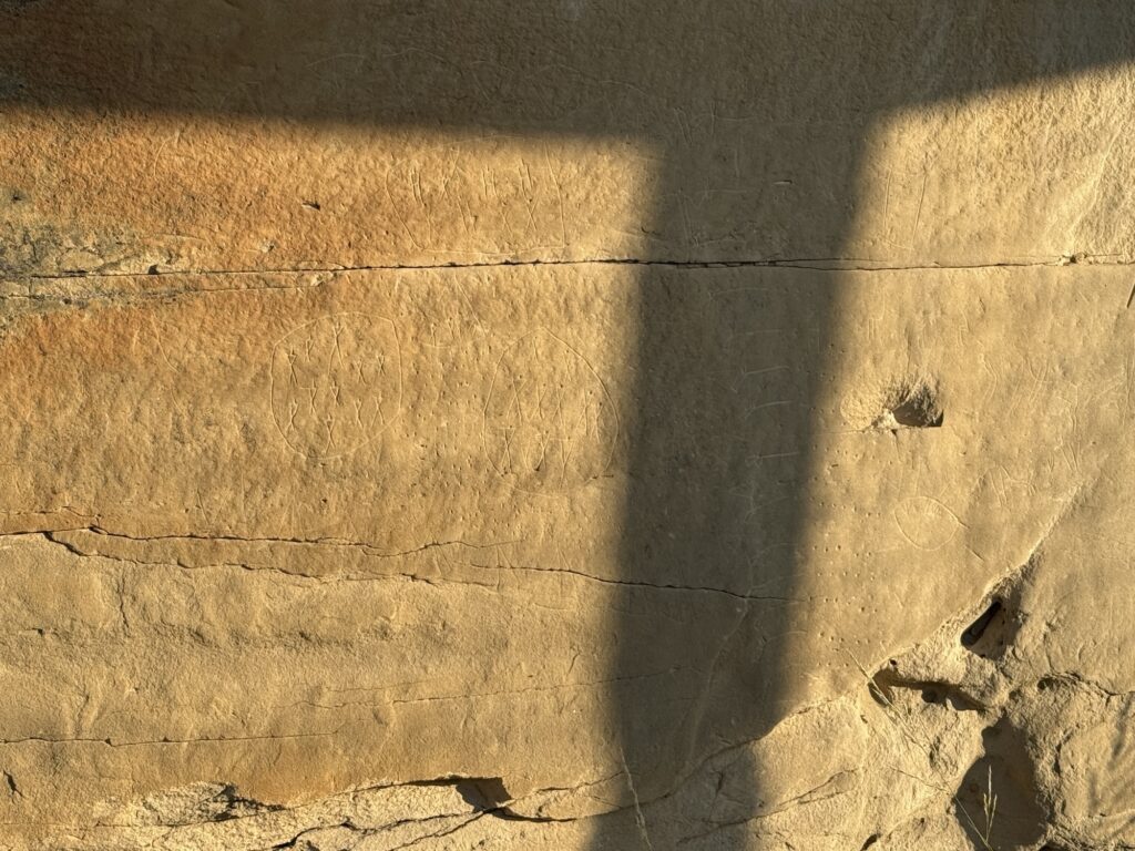
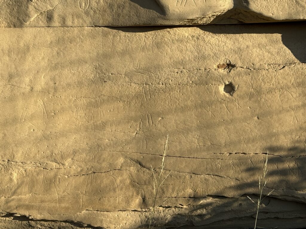
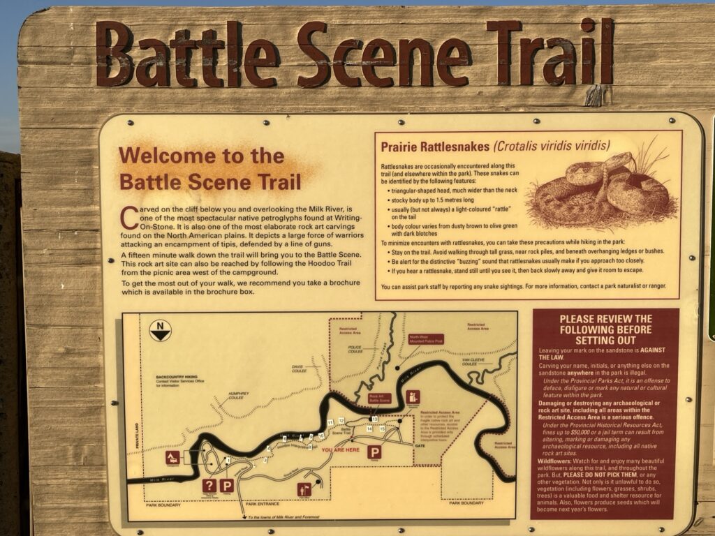
We both awoke early after a nice long sleep. Extremely quiet here but a little chilly overnight with the morning temperature being below 10°C. We made a quick exit from the campground and drove to one of the trailheads so that we could go for an early morning sunrise walk to look at some indigenous stone carvings for which the park is named. We also heard a pack of coyotes across the valley yipping and howling to each other, beautiful.
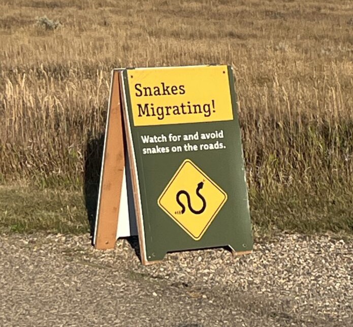
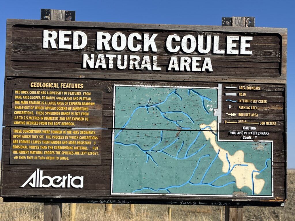
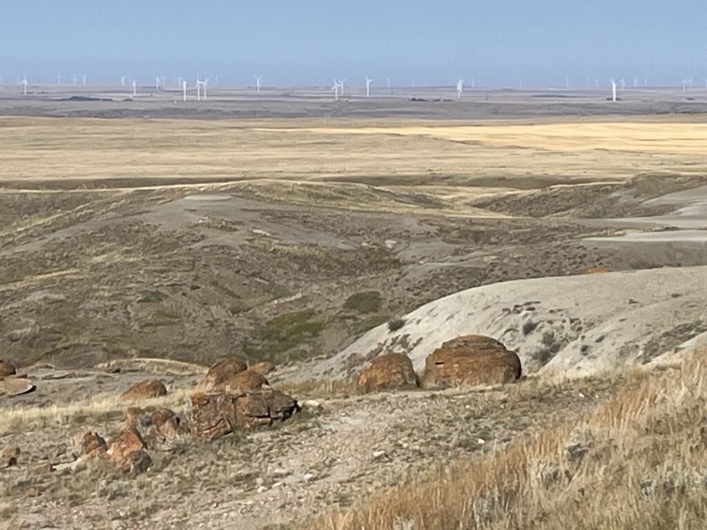
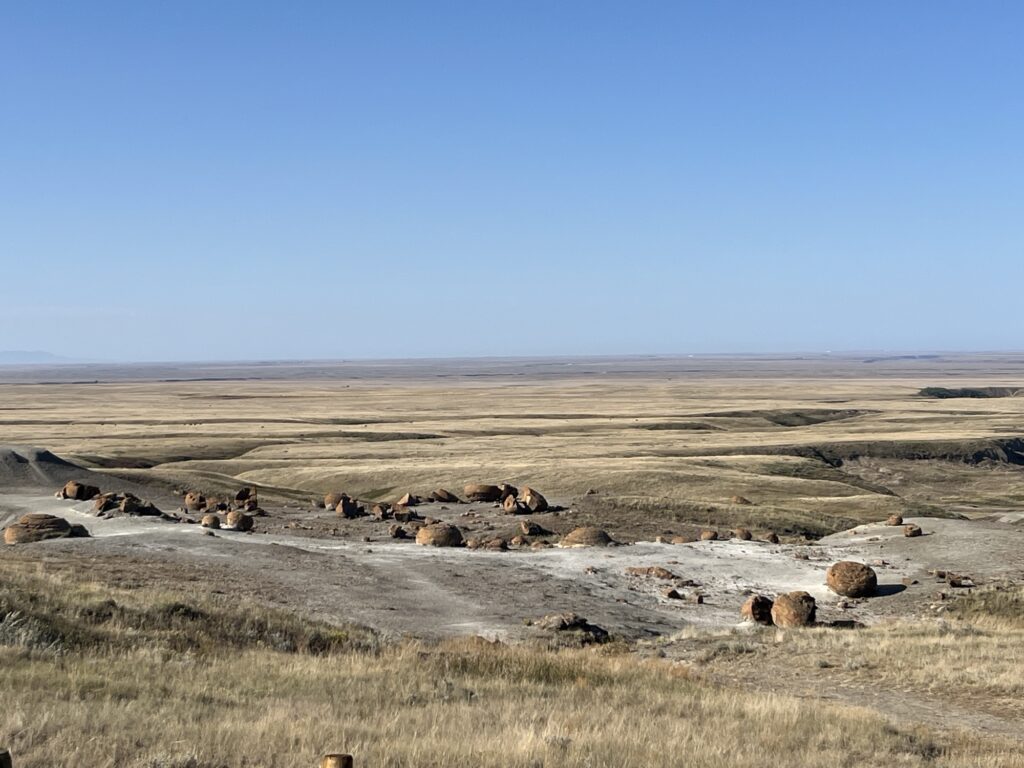
Although a cross-country route to our destination was proposed by Google maps, we chose a slightly longer route that ensured a supply of fuel. This routed us North towards Medicine Hat where we would join the Trans-Canada Highway yet again. However, before getting to the TCH we made a small detour to the Red Rock Coulee Natural Area to see the odd collection of naturally formed large red rock boulders that occur in this single location. It might also be a future boondocking location as it is quite remote with no visible neighbors and a good sized gravel parking area. It would be a wonderful dark-skies camping location.
The TCH today (Saturday) was relatively quiet with very few trucks thereby making the driving very easy and stress-free. We stopped at Gull Lake, SK for fuel and lunch at a small Bar & Grill in town. Simple food made well for a reasonable price.
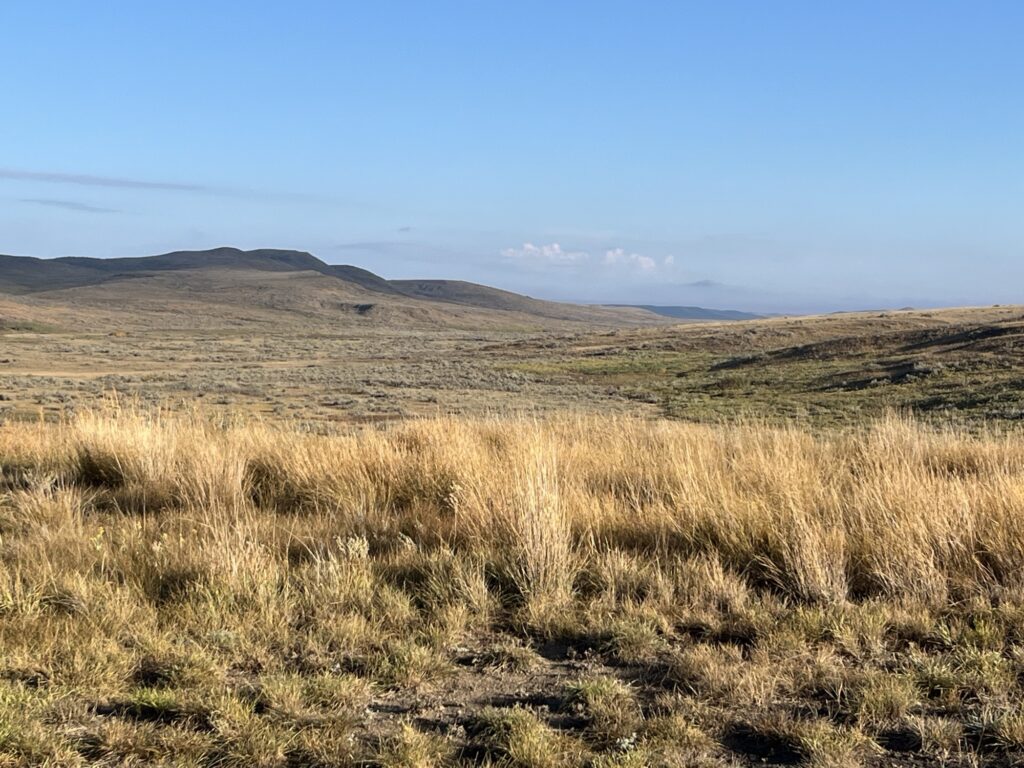
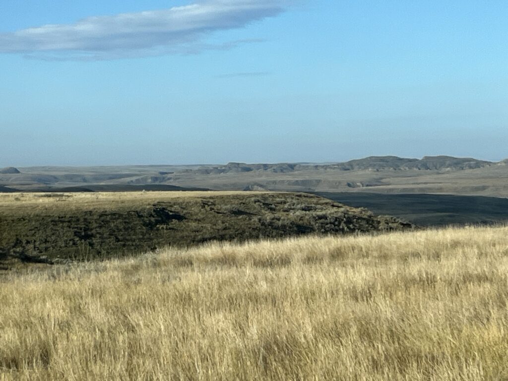
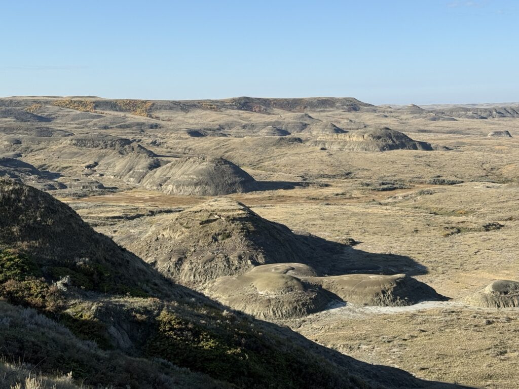
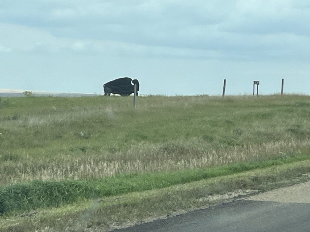
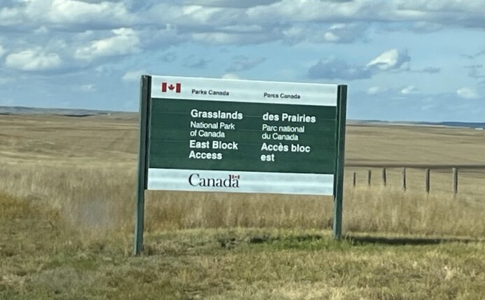
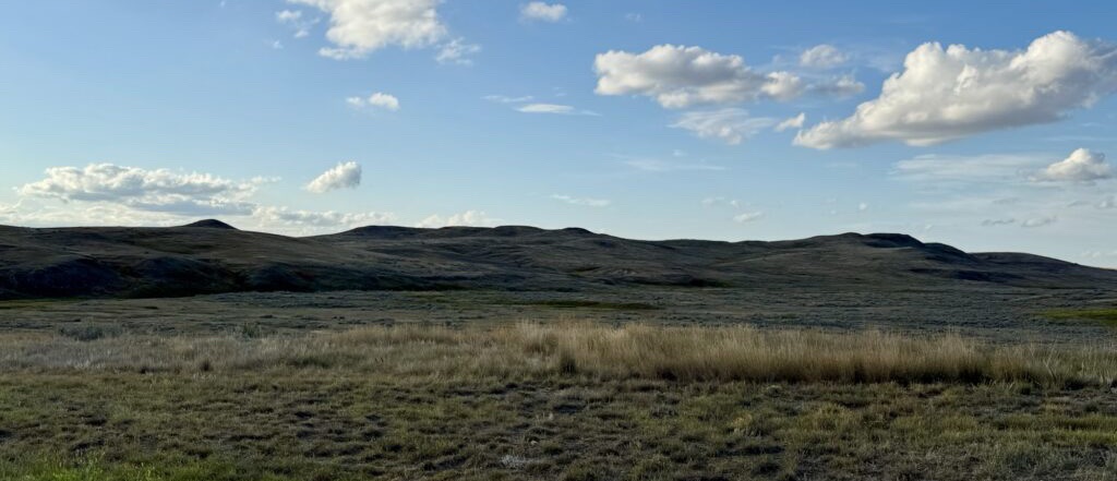
From Gull Lake we headed South and East towards the Eastern side of Grasslands National Park. We saw many Pronghorn Antelope along the way and miles and miles of straight roads across the fertile South Saskatchewan landscape. It really is a very beautiful place with the light and shadows dancing across the grassy hills.
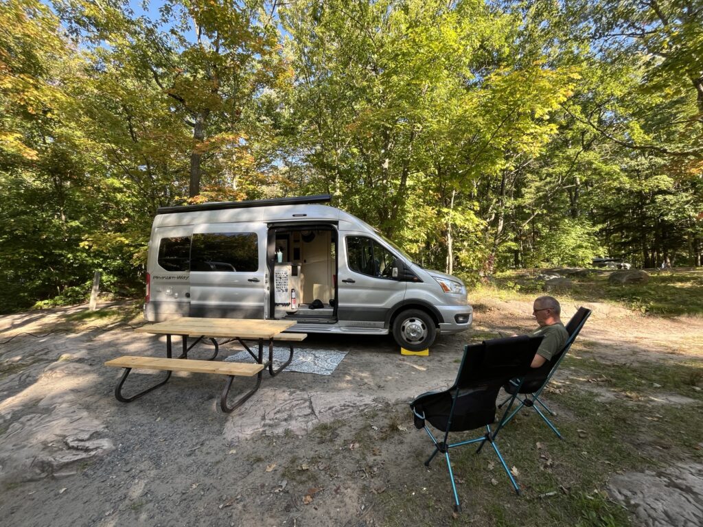
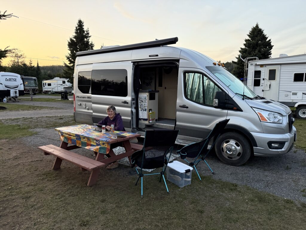
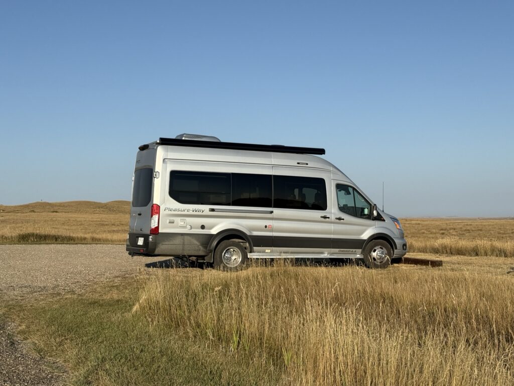
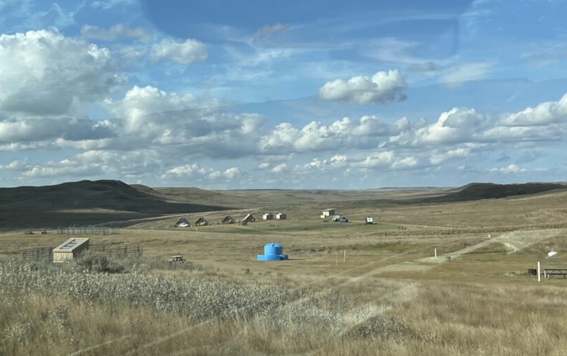
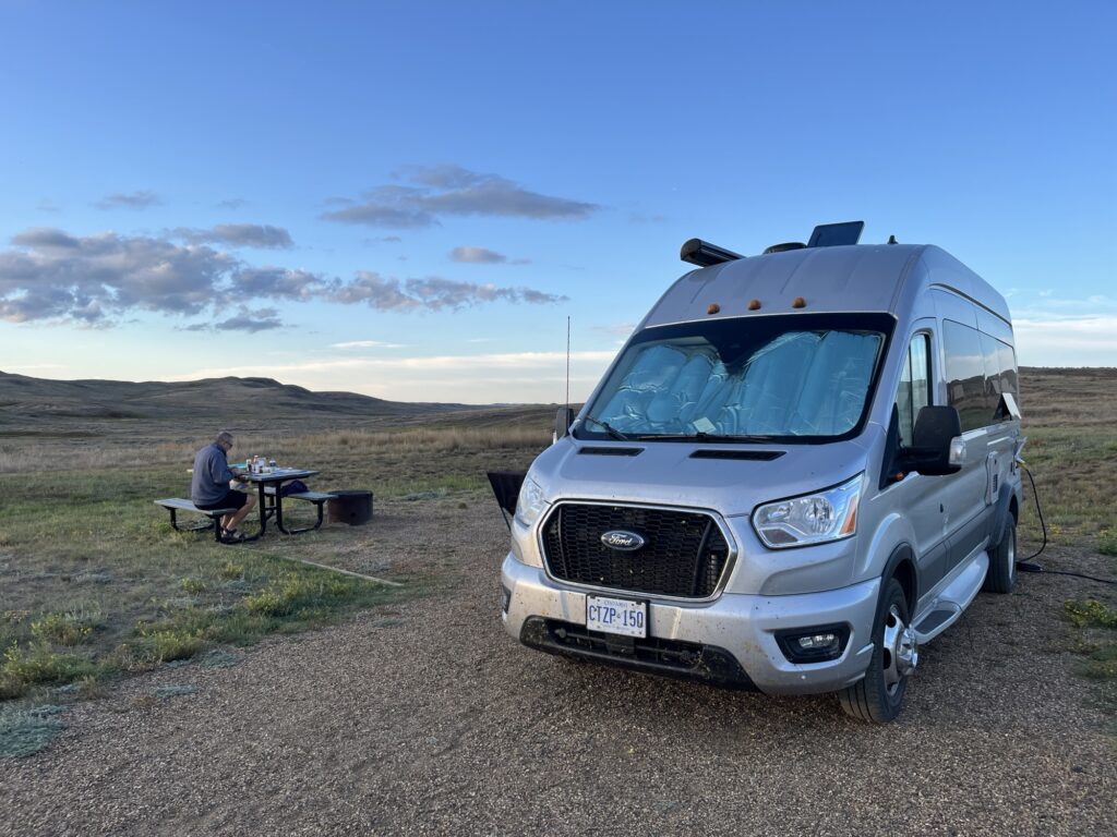
At about 4:15pm we pulled into Rock Creek Campground and setup for the night. We have an electrical site (30A) with a water tap nearby. There is no cellular coverage here and so we setup our Starlink Mini to provide us with ample internet bandwidth for the night.
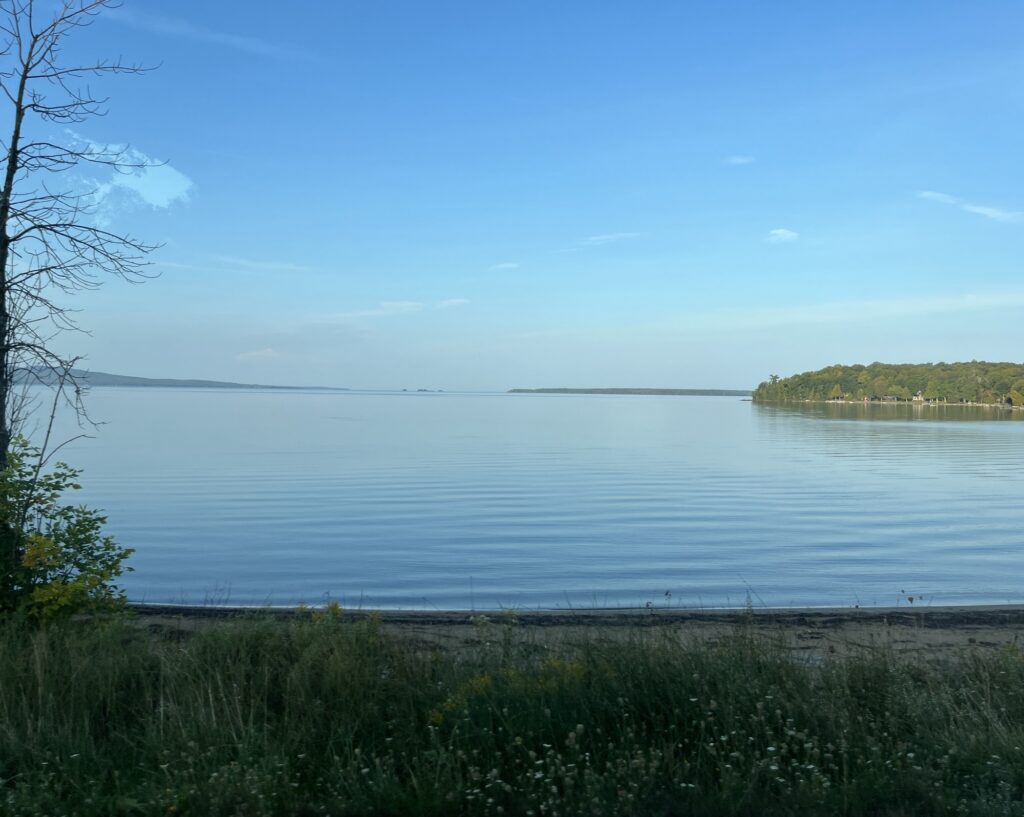
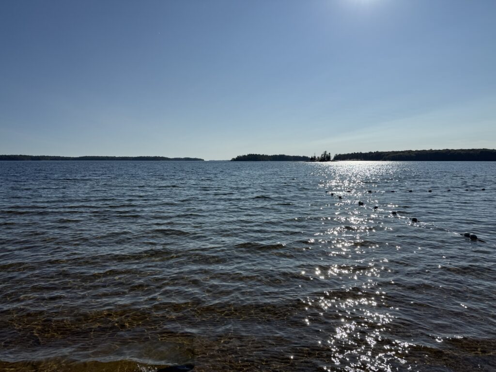
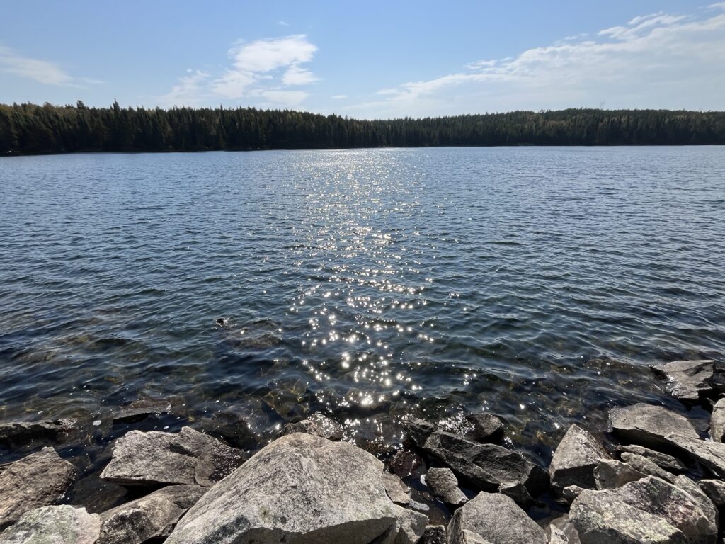
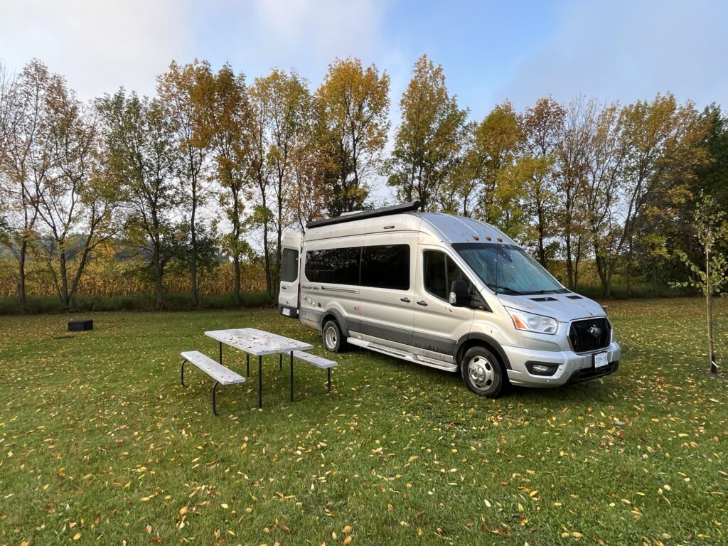
View from our campsite
A quiet dinner watching the sunset across the grasslands and then a wonderful night time sky filled with stars. What could be better than this?
Tomorrow we head into Manitoba in search of a free nights stay in Winkler.