Category: 2023 Southwest US tour

A trip to the US Southwest.

  • Recap and Statistics

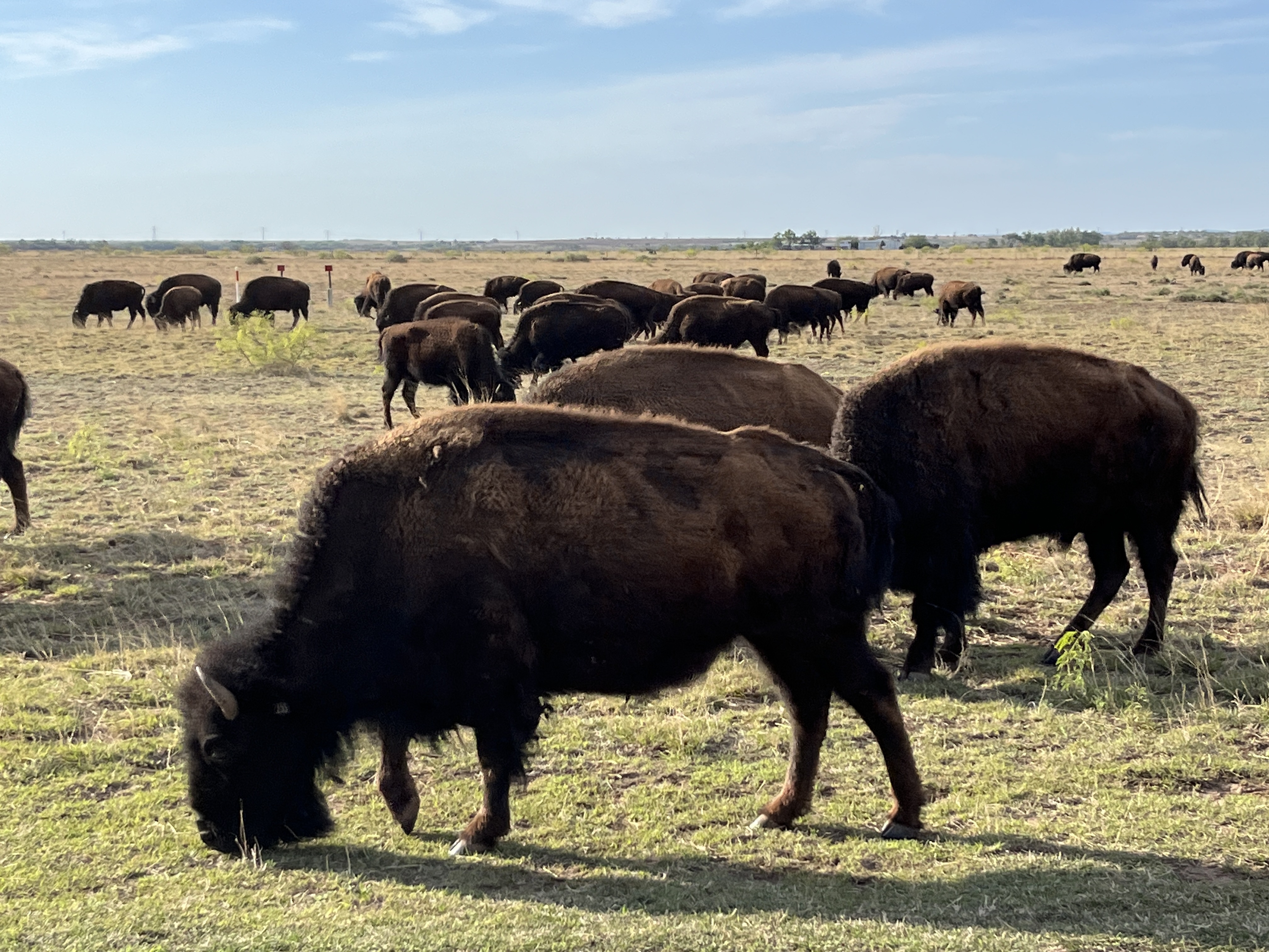
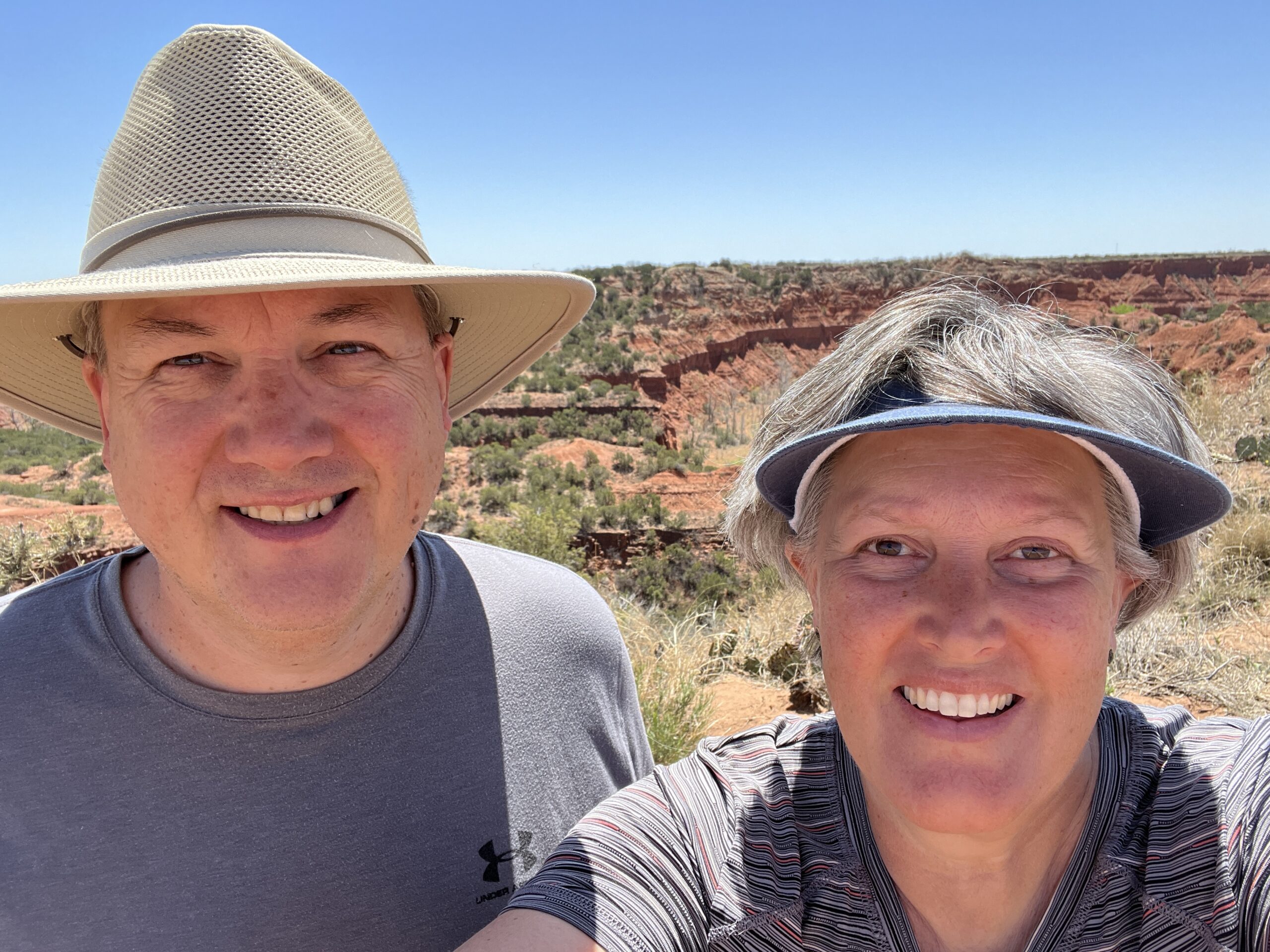
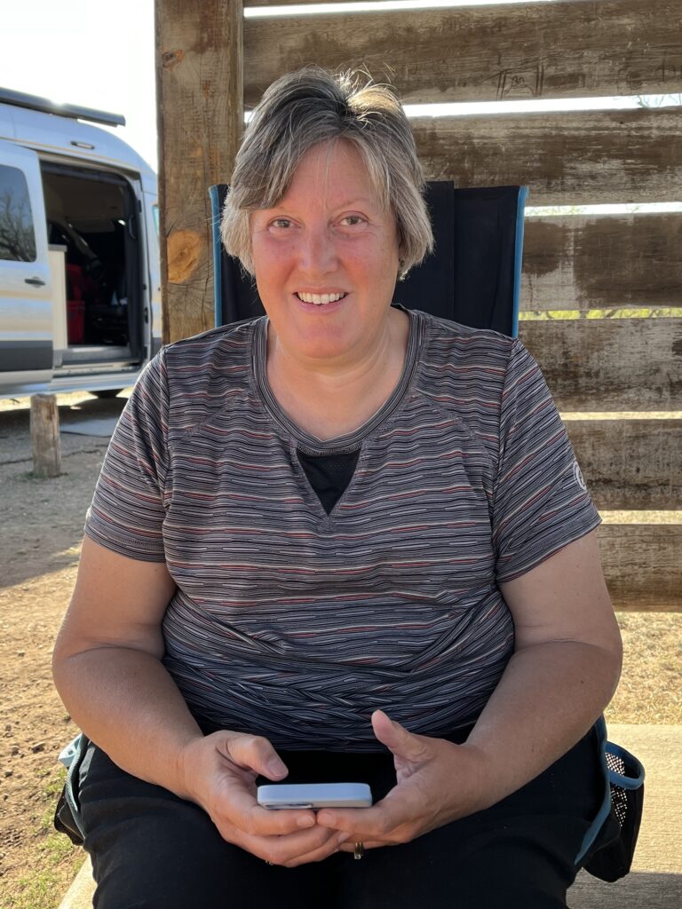
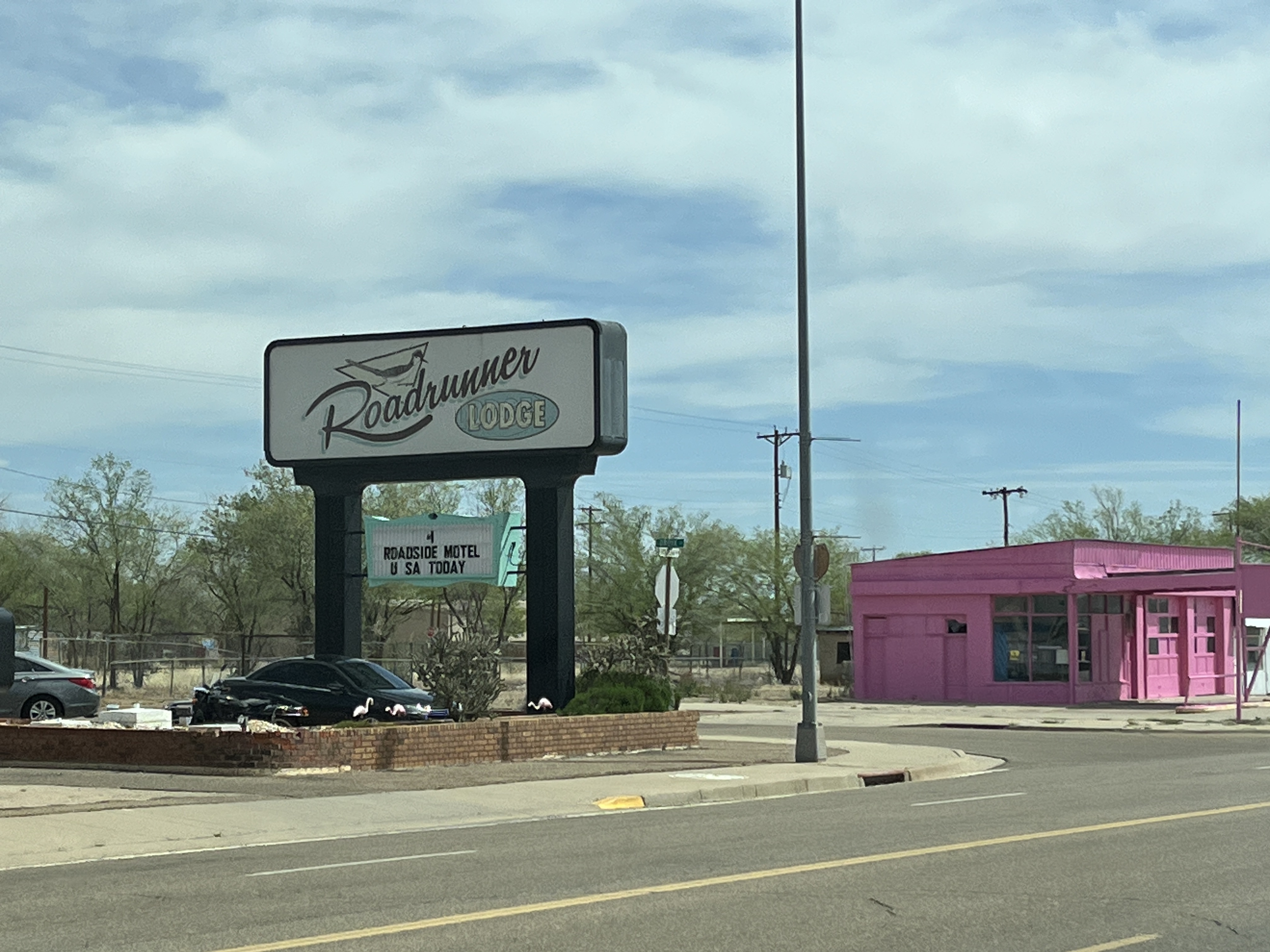
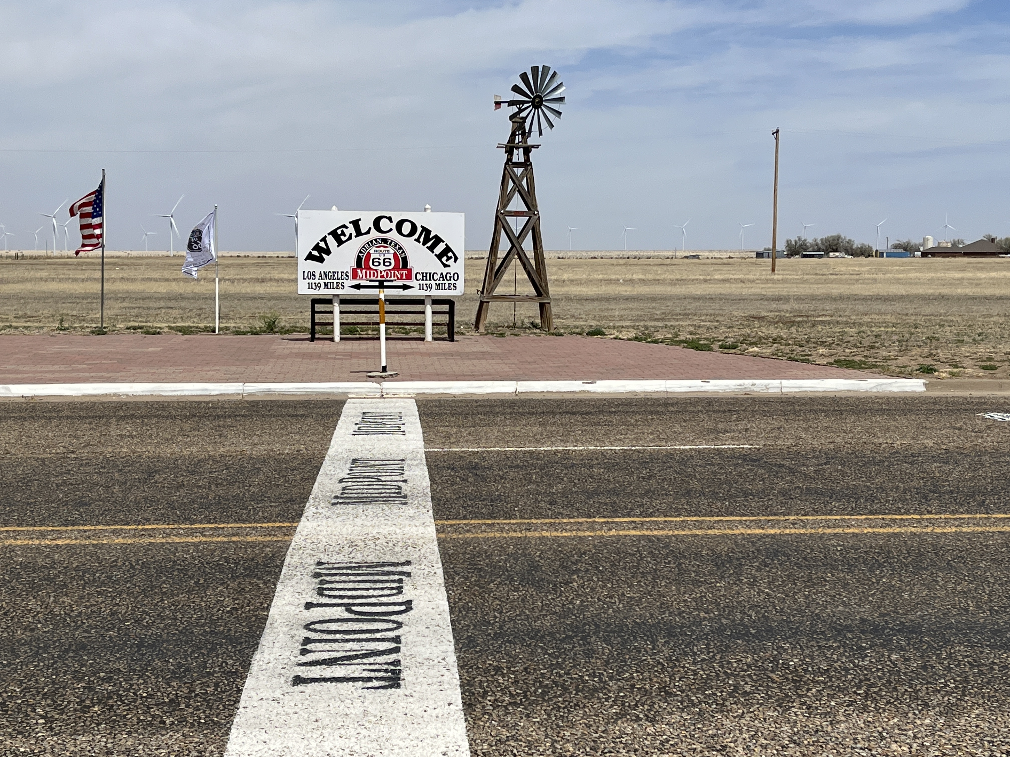
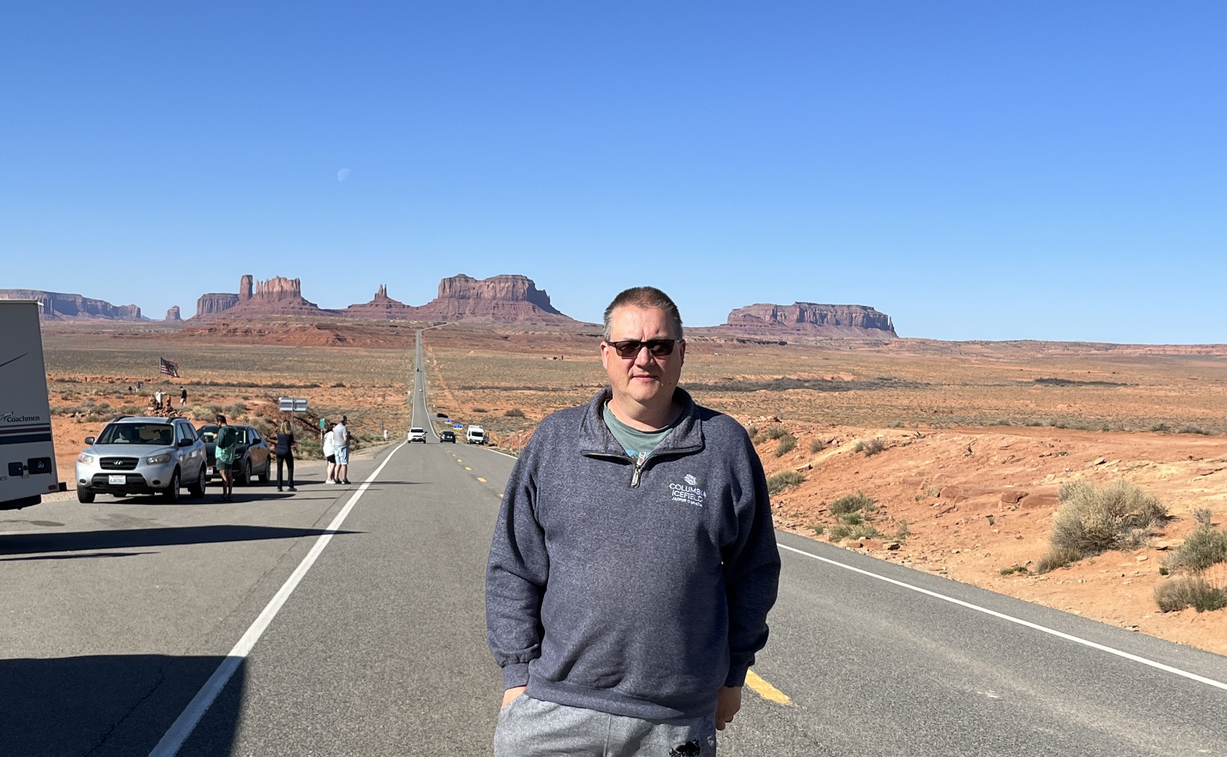
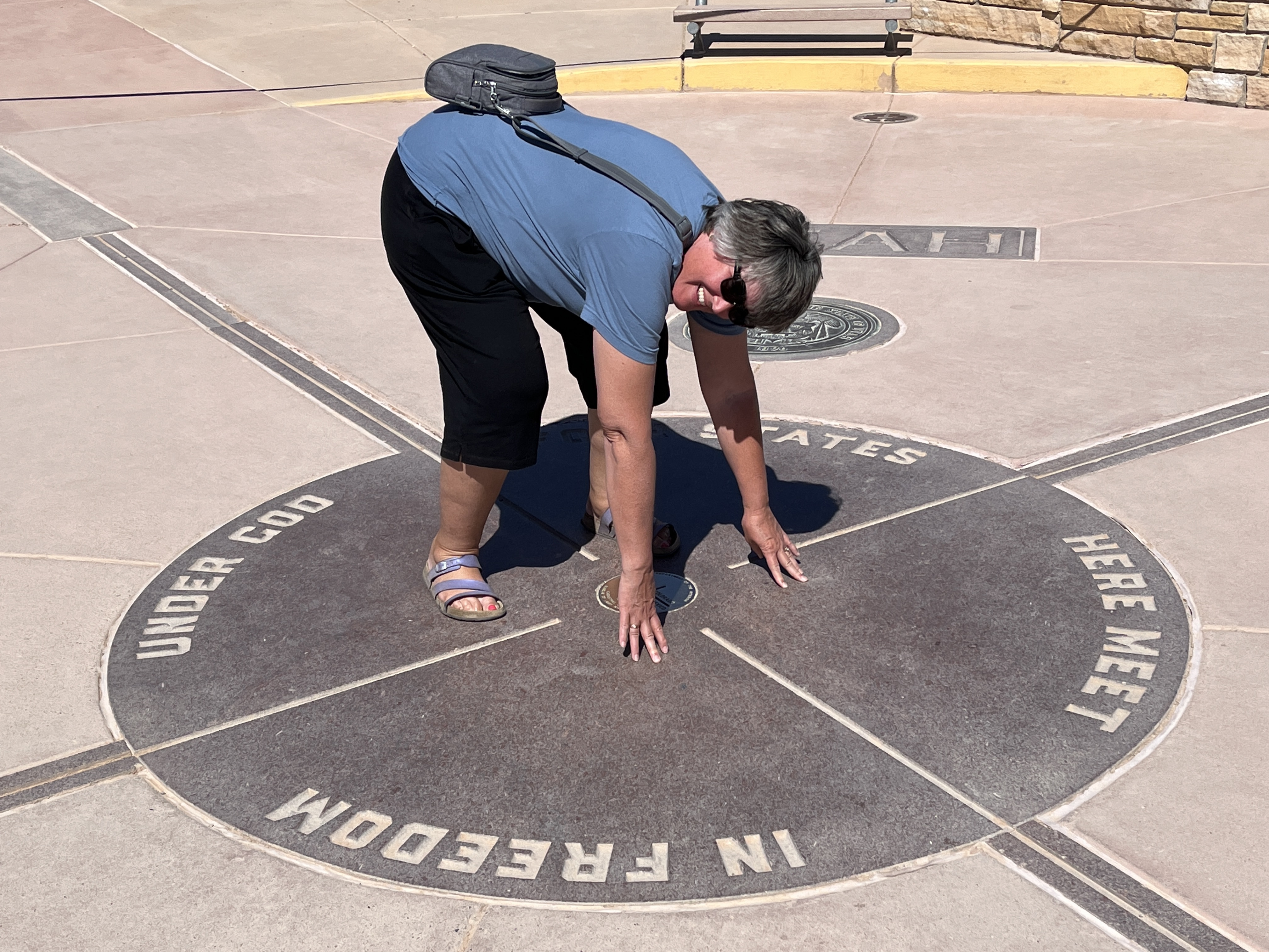
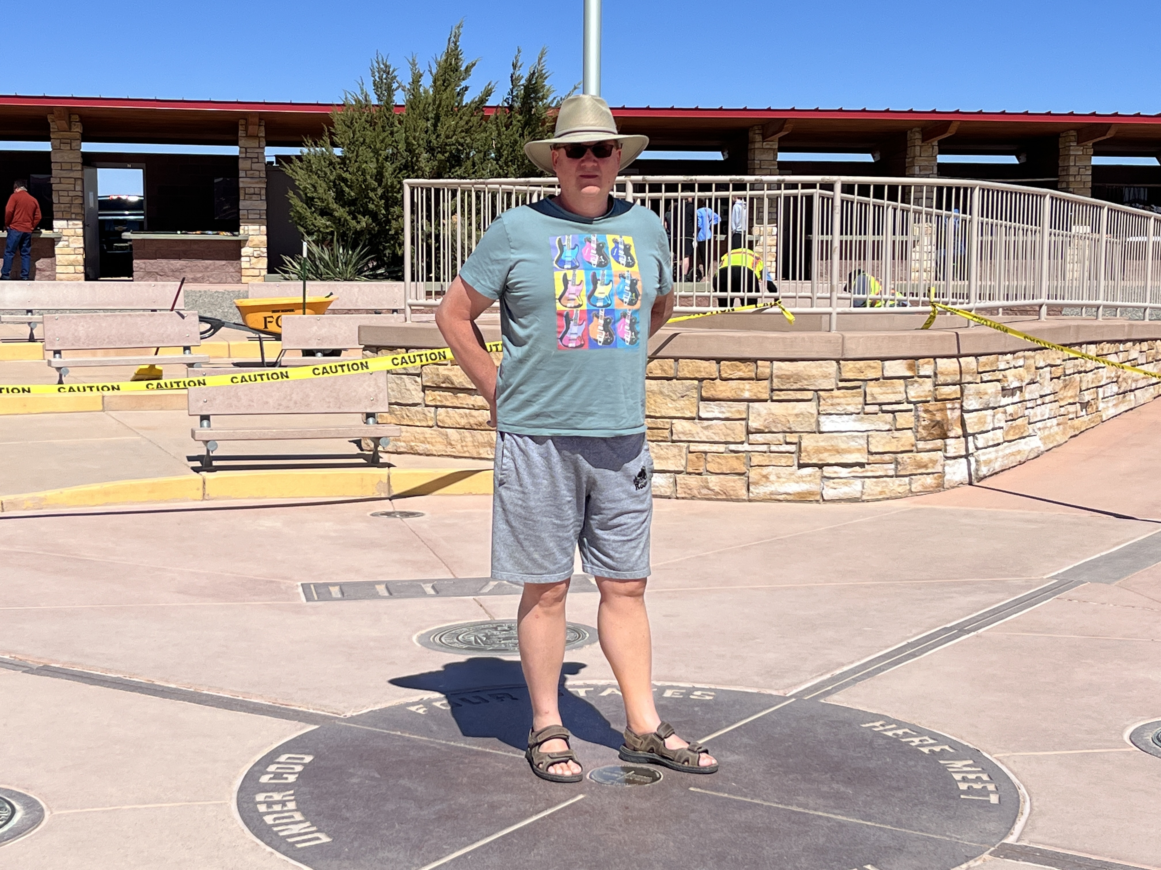
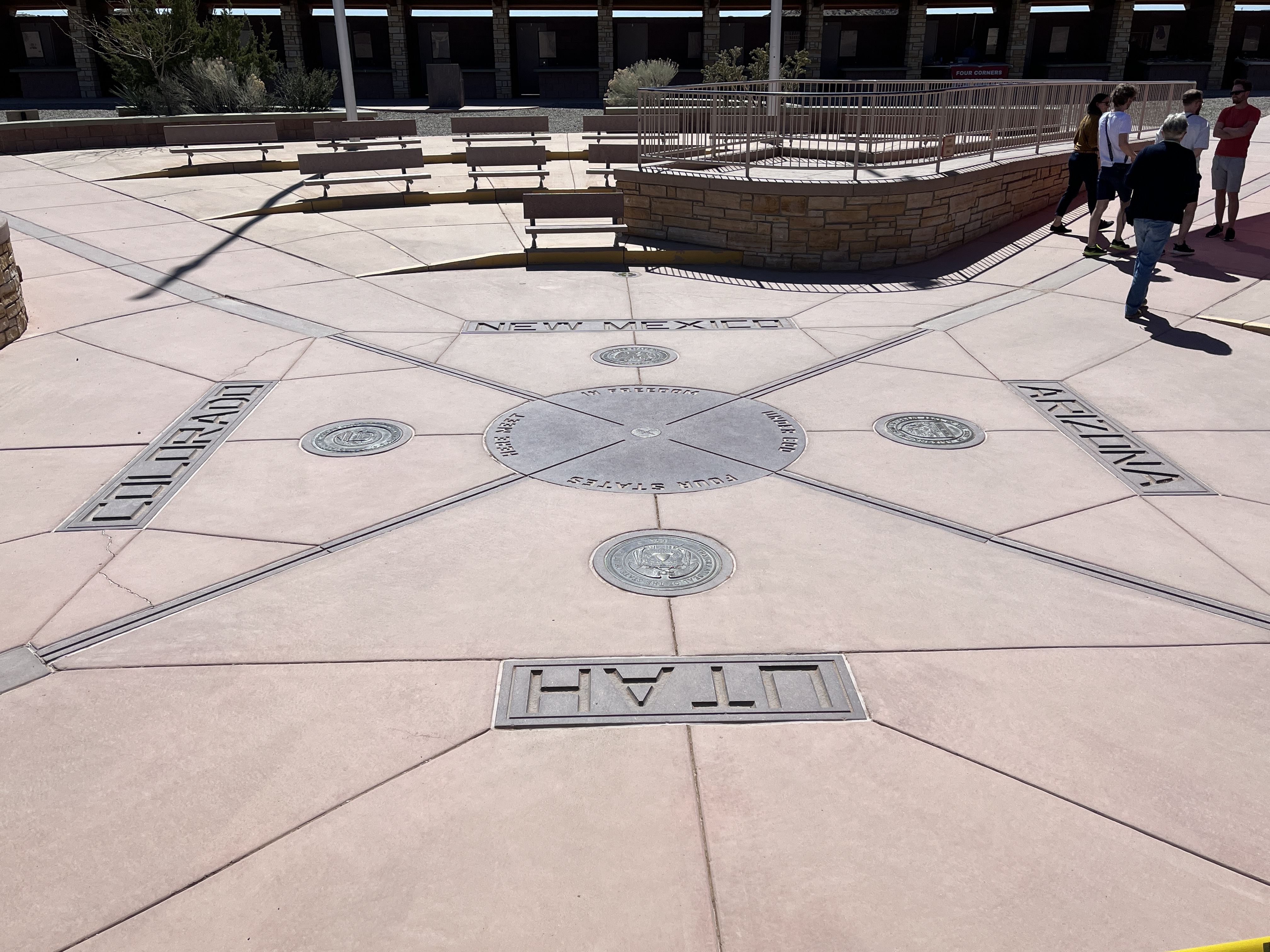
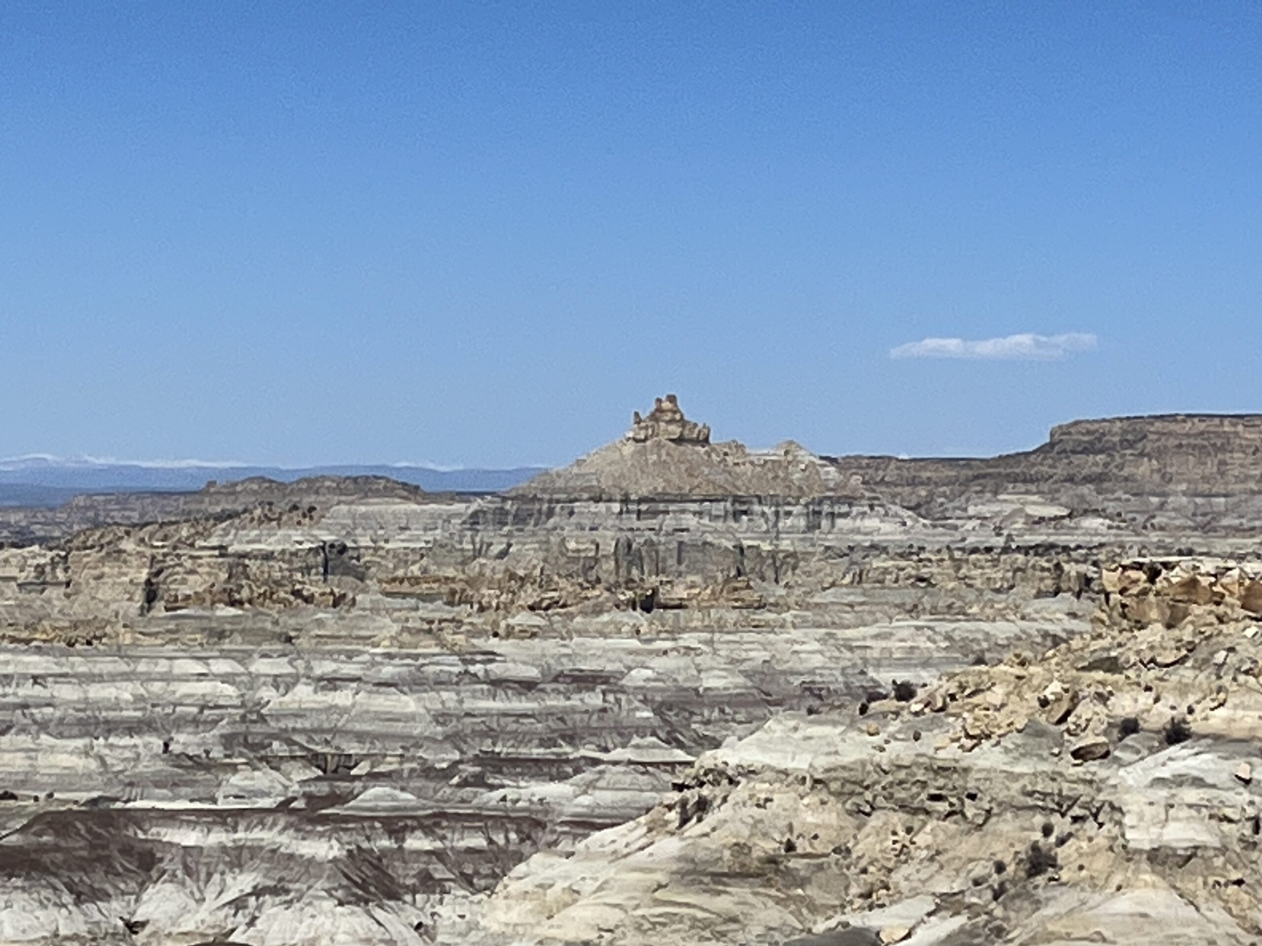
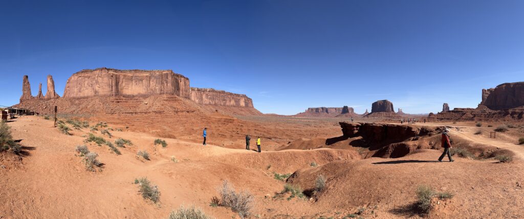
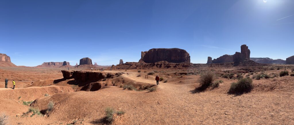
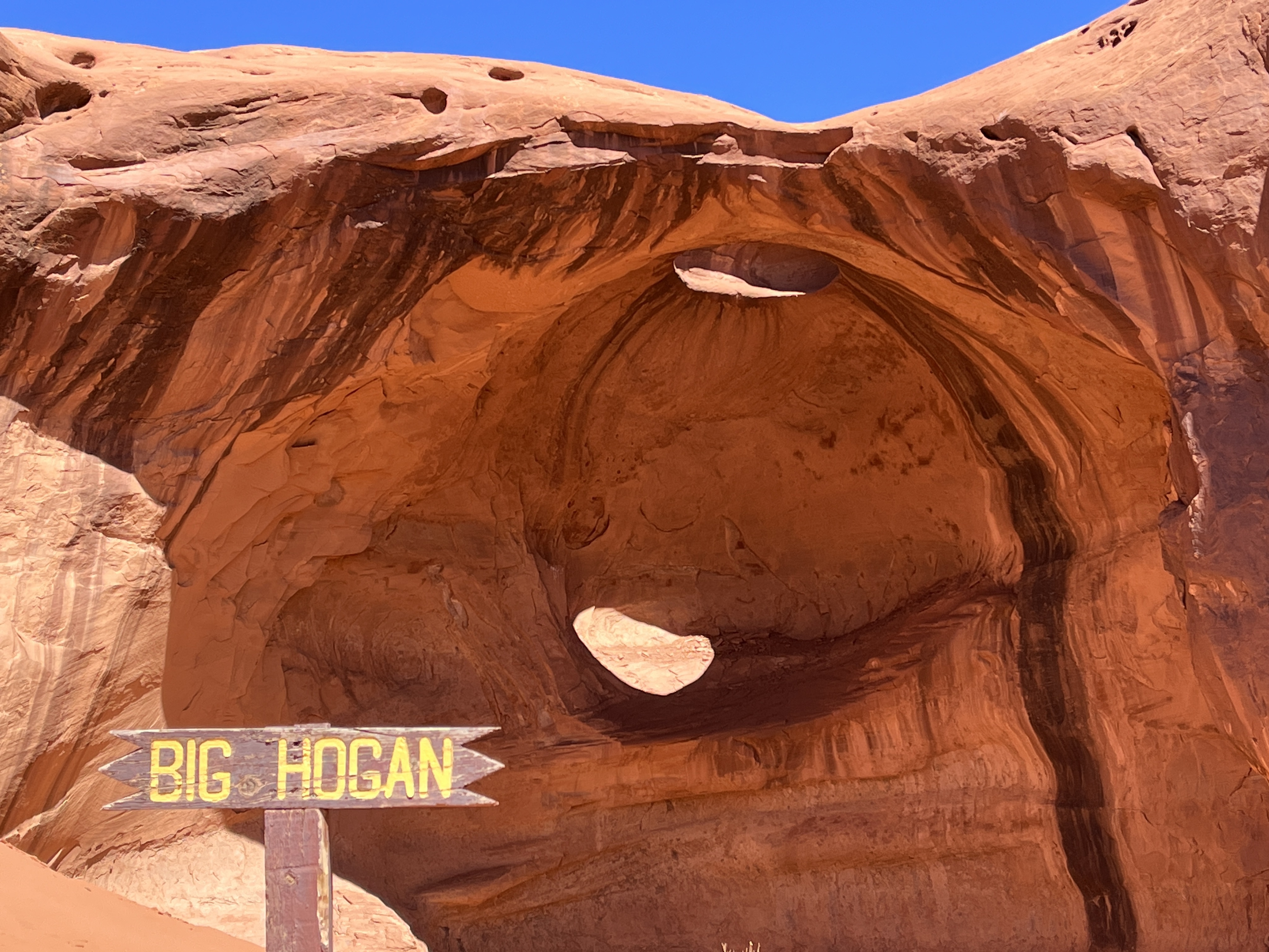
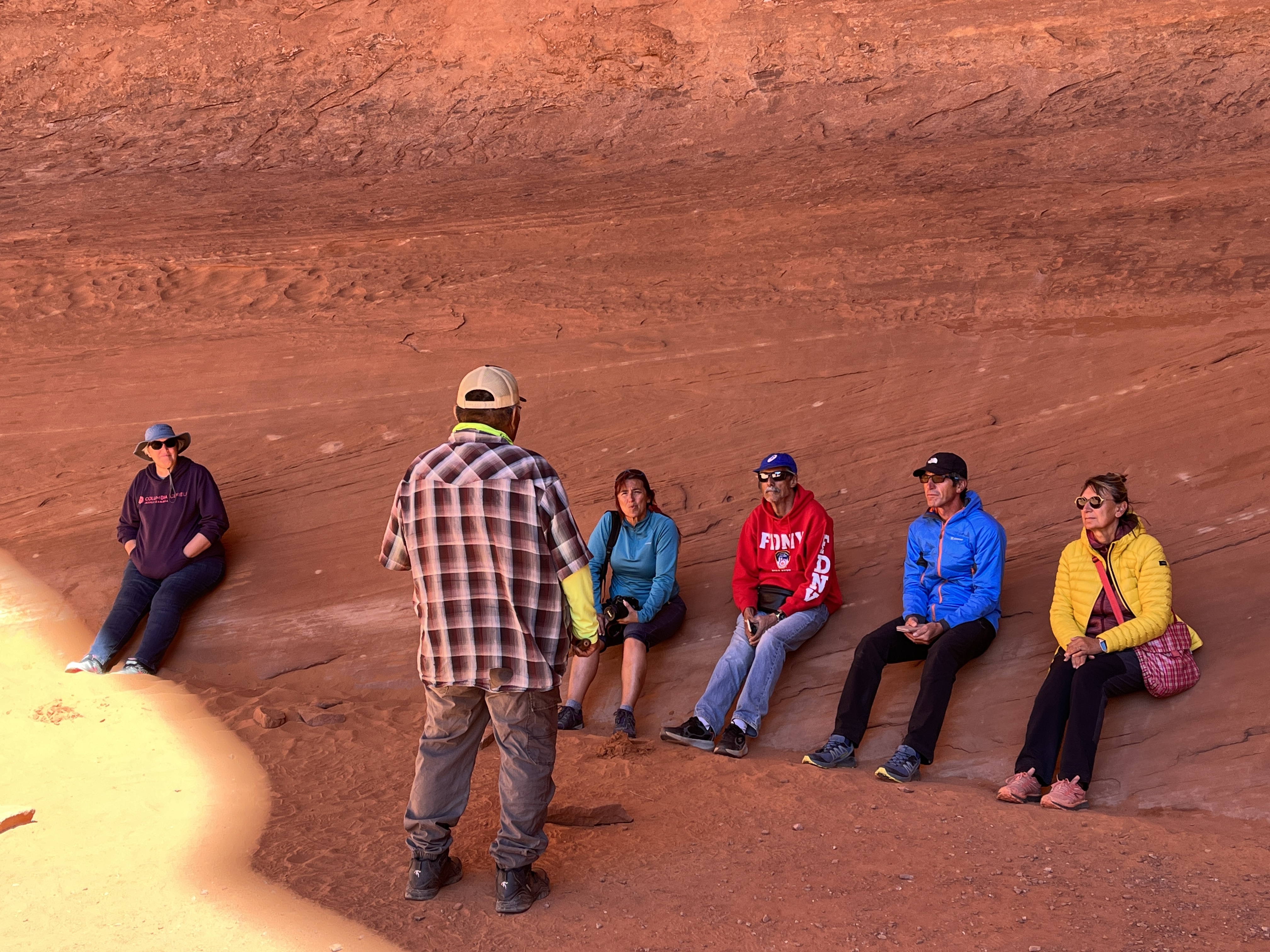
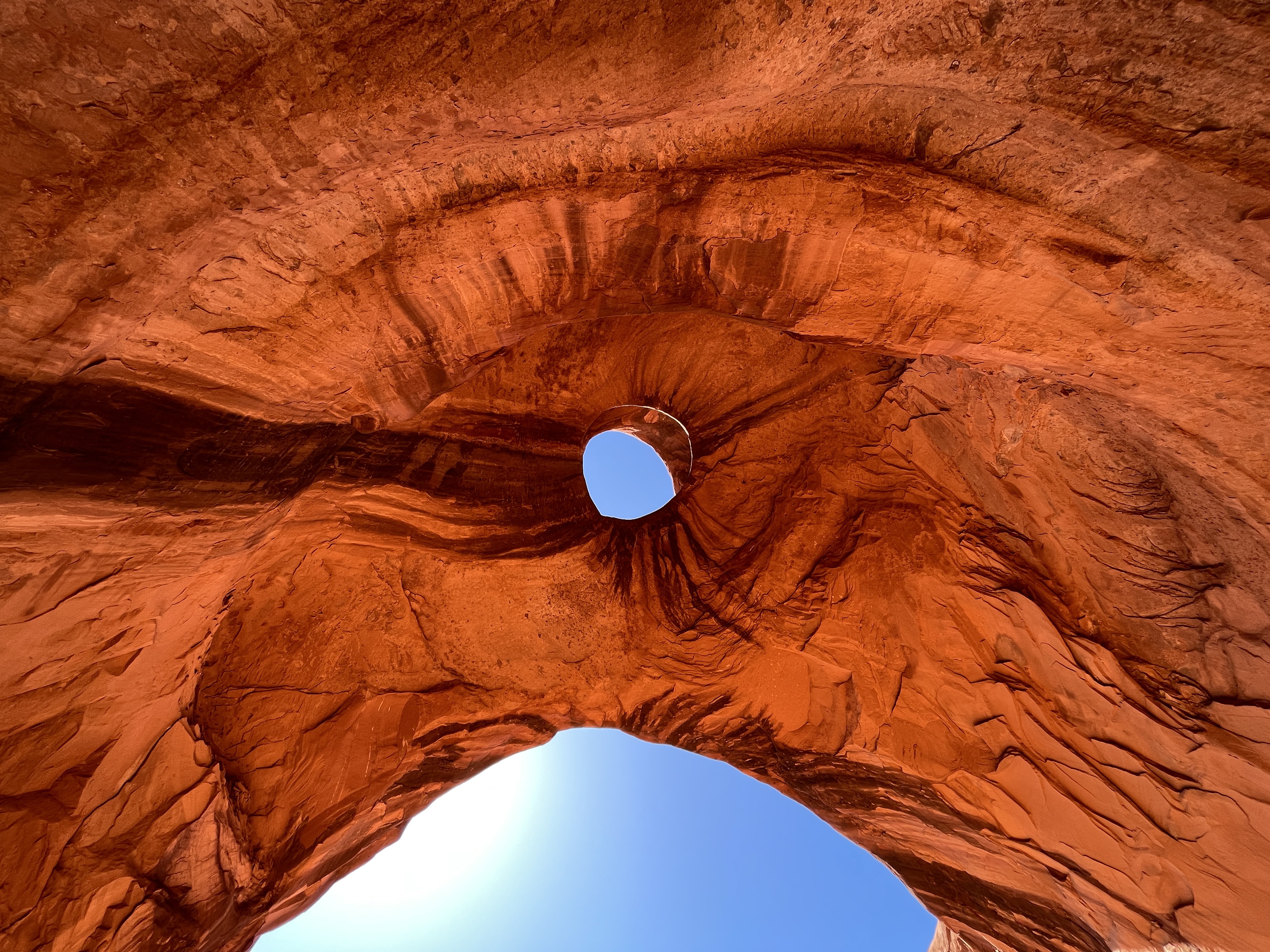
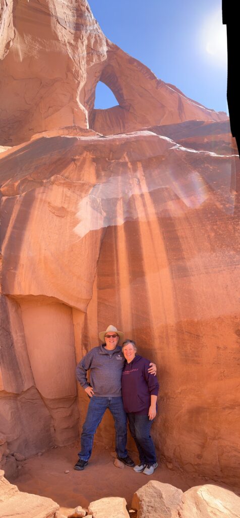
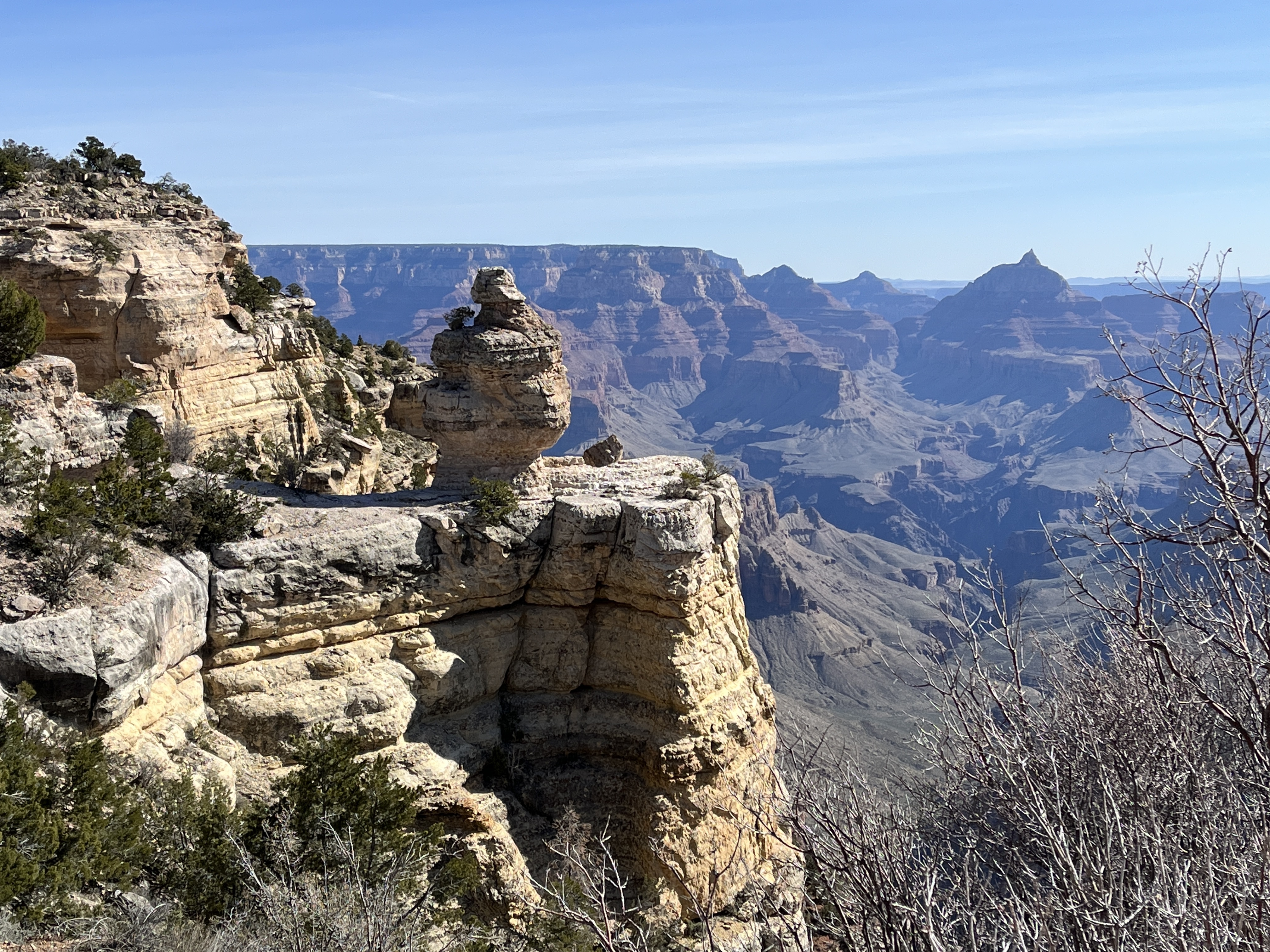
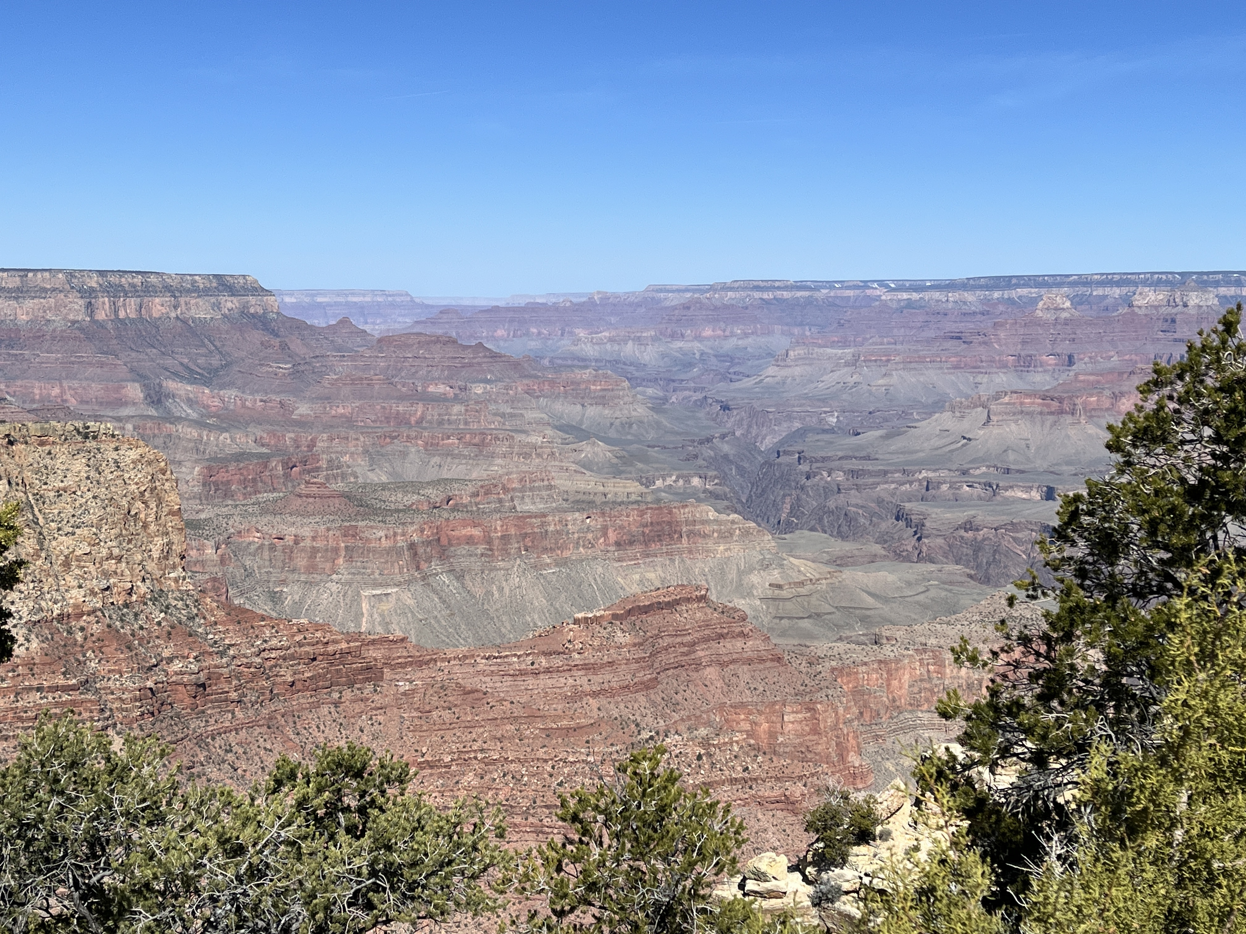
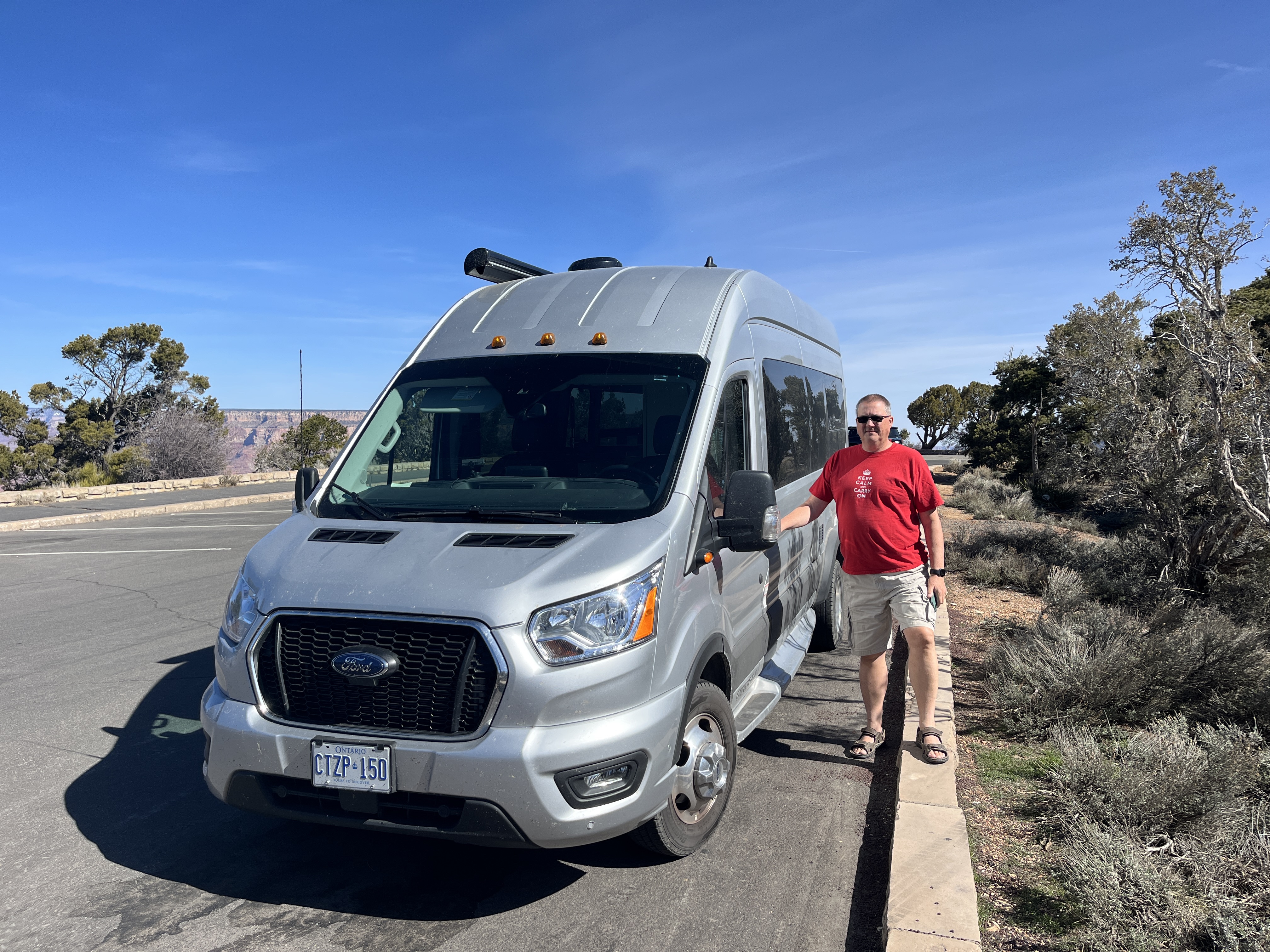
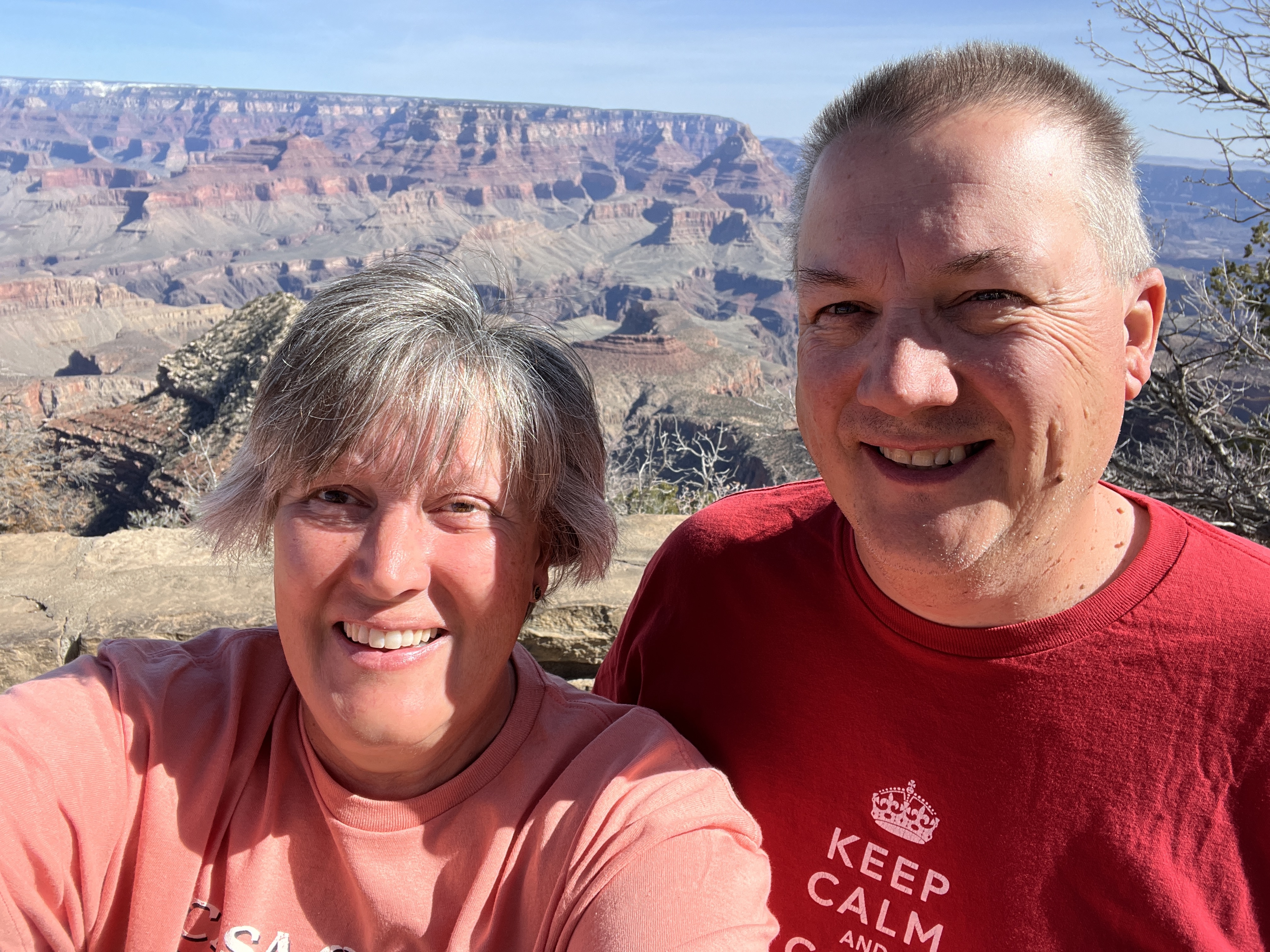
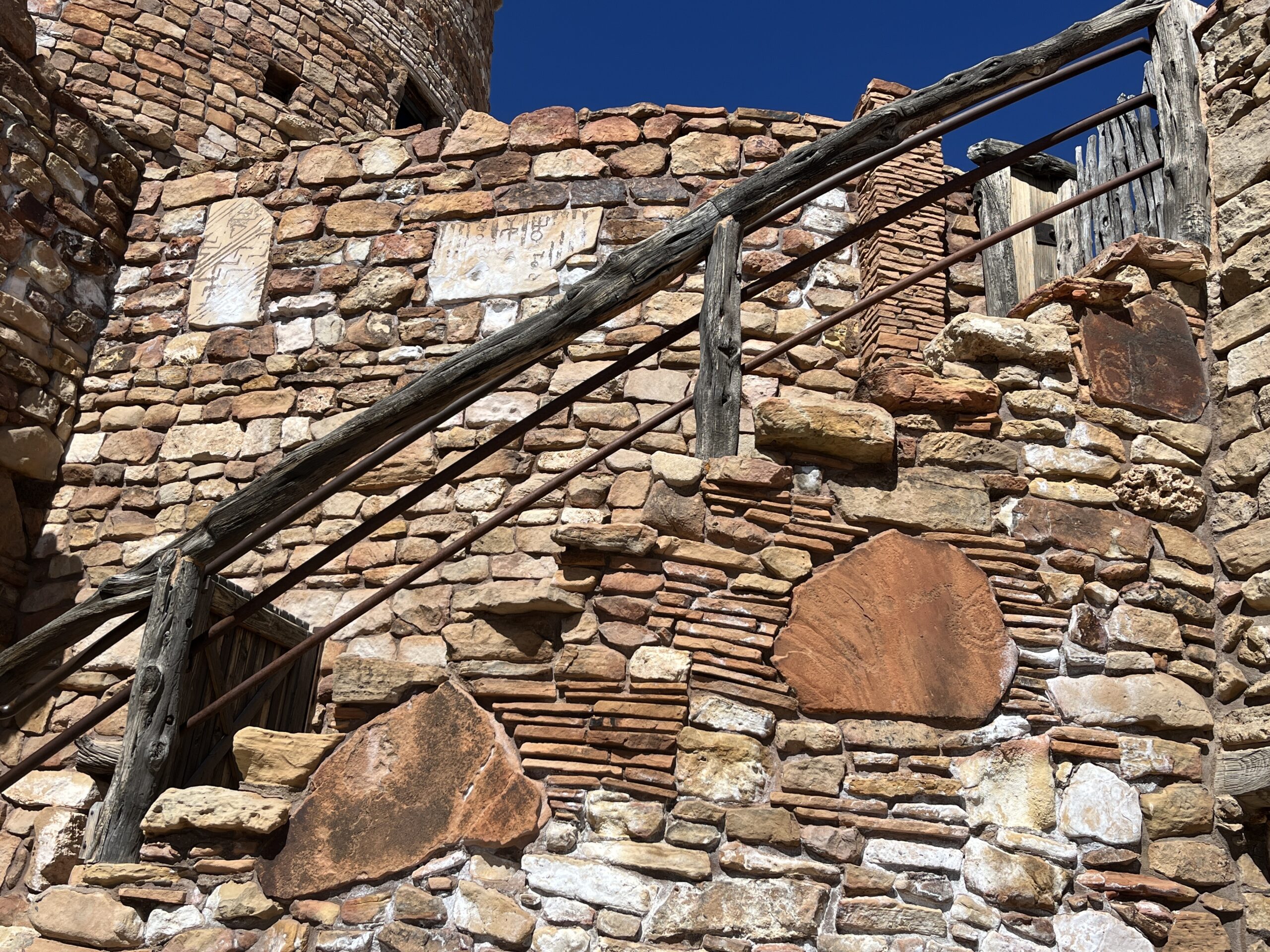
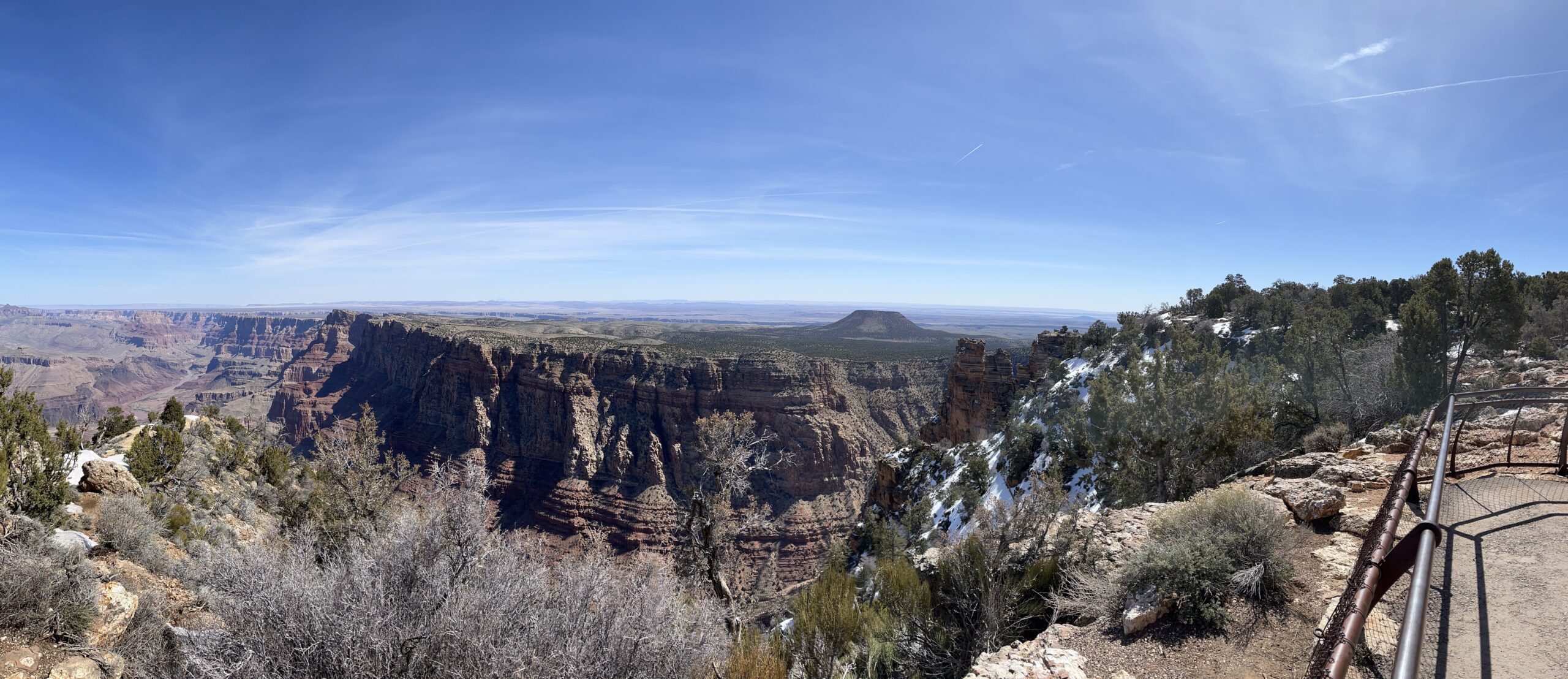
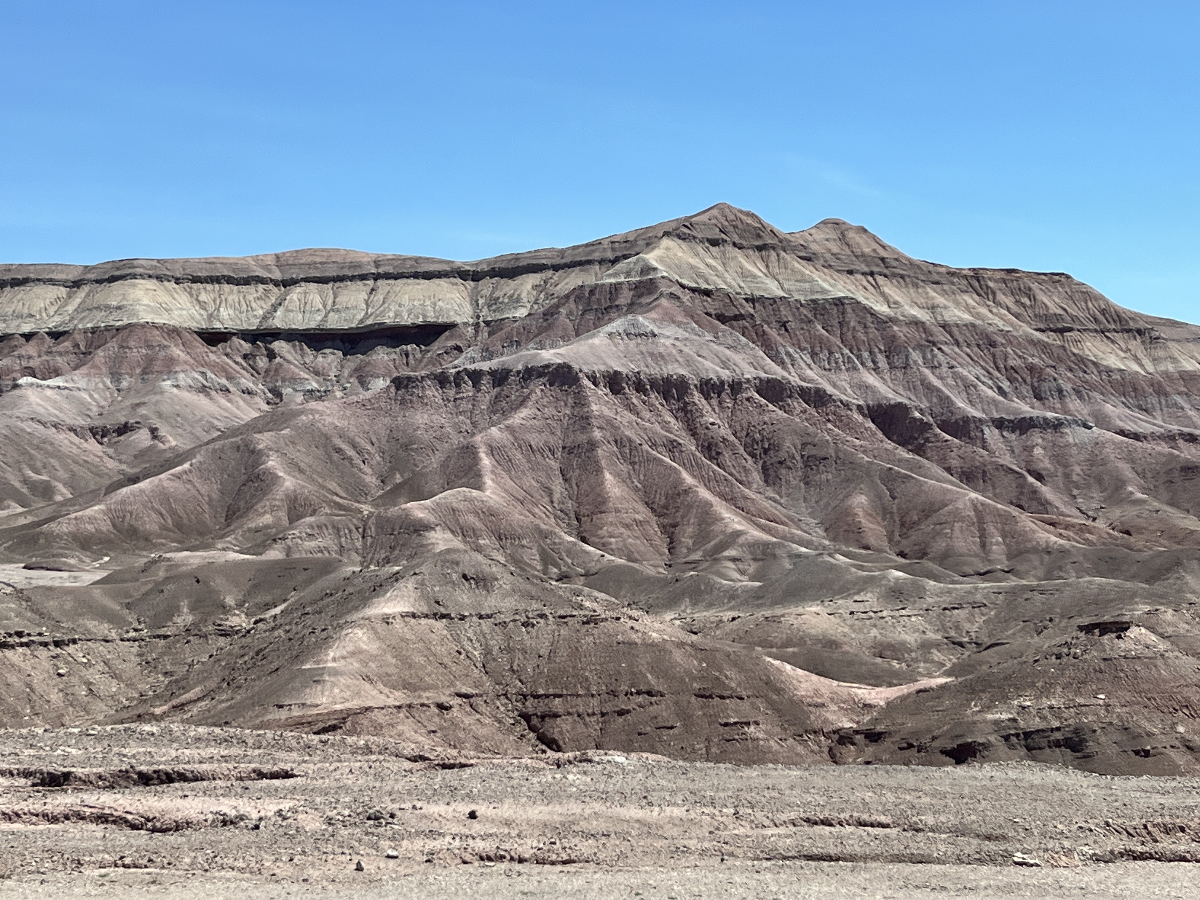
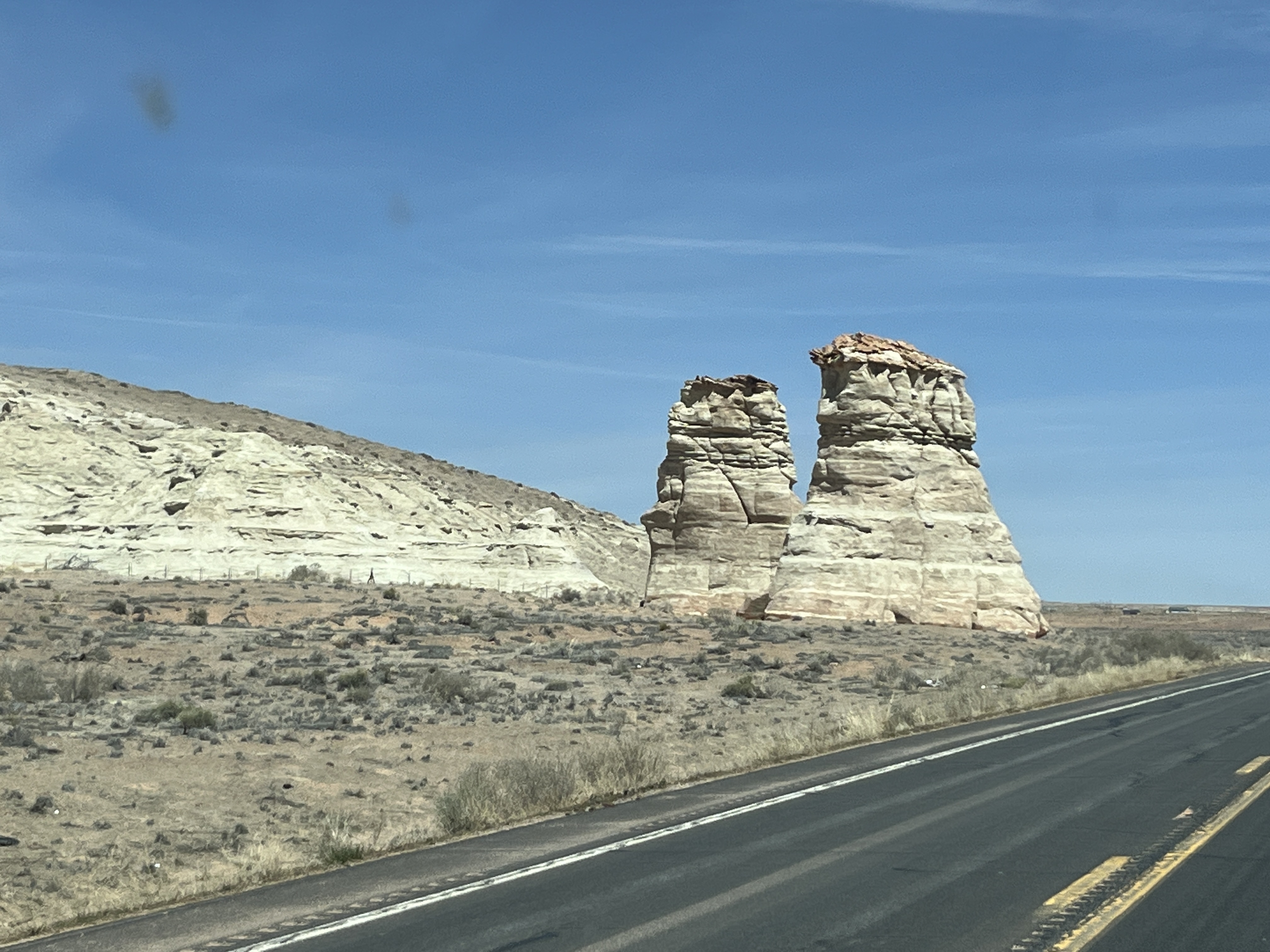
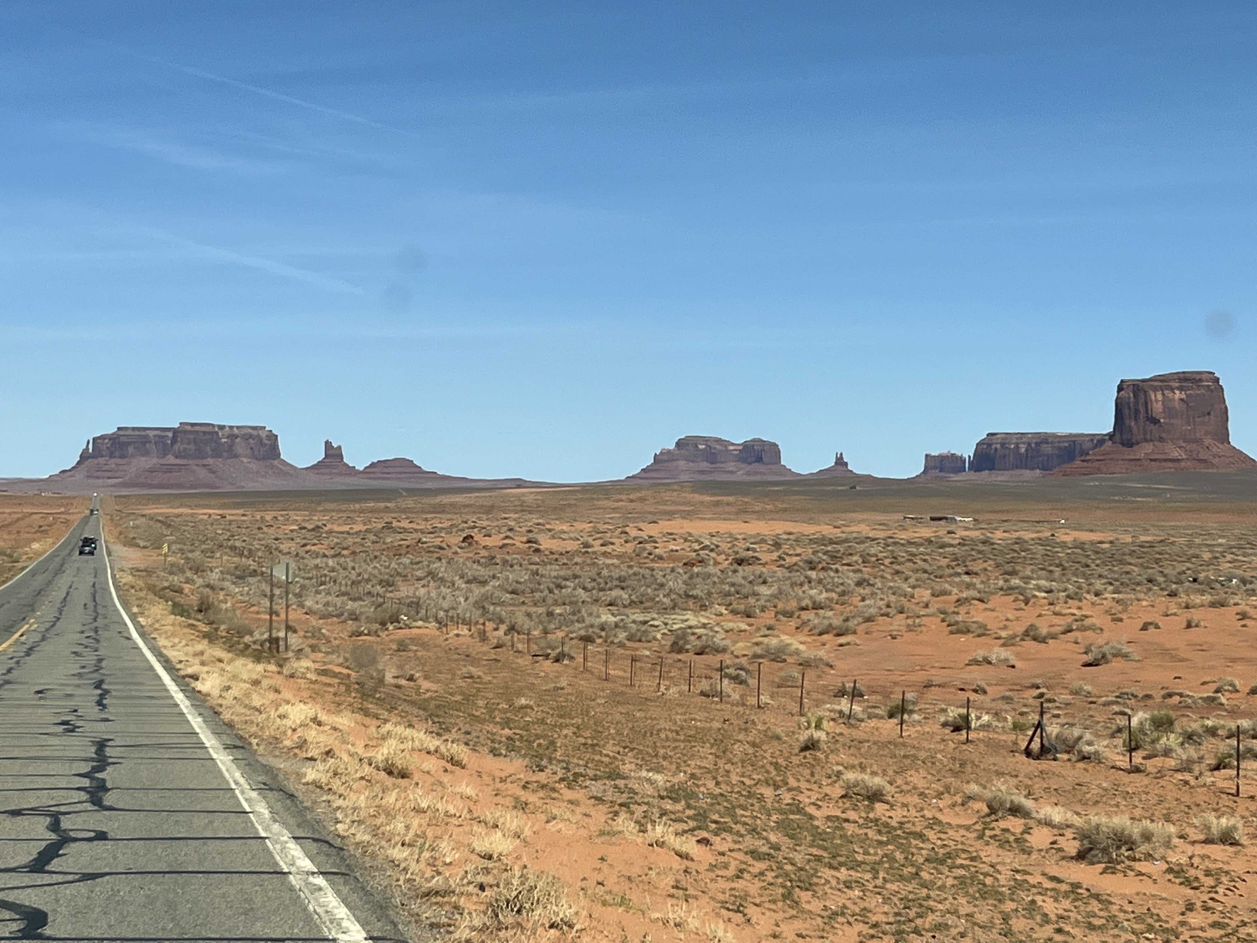
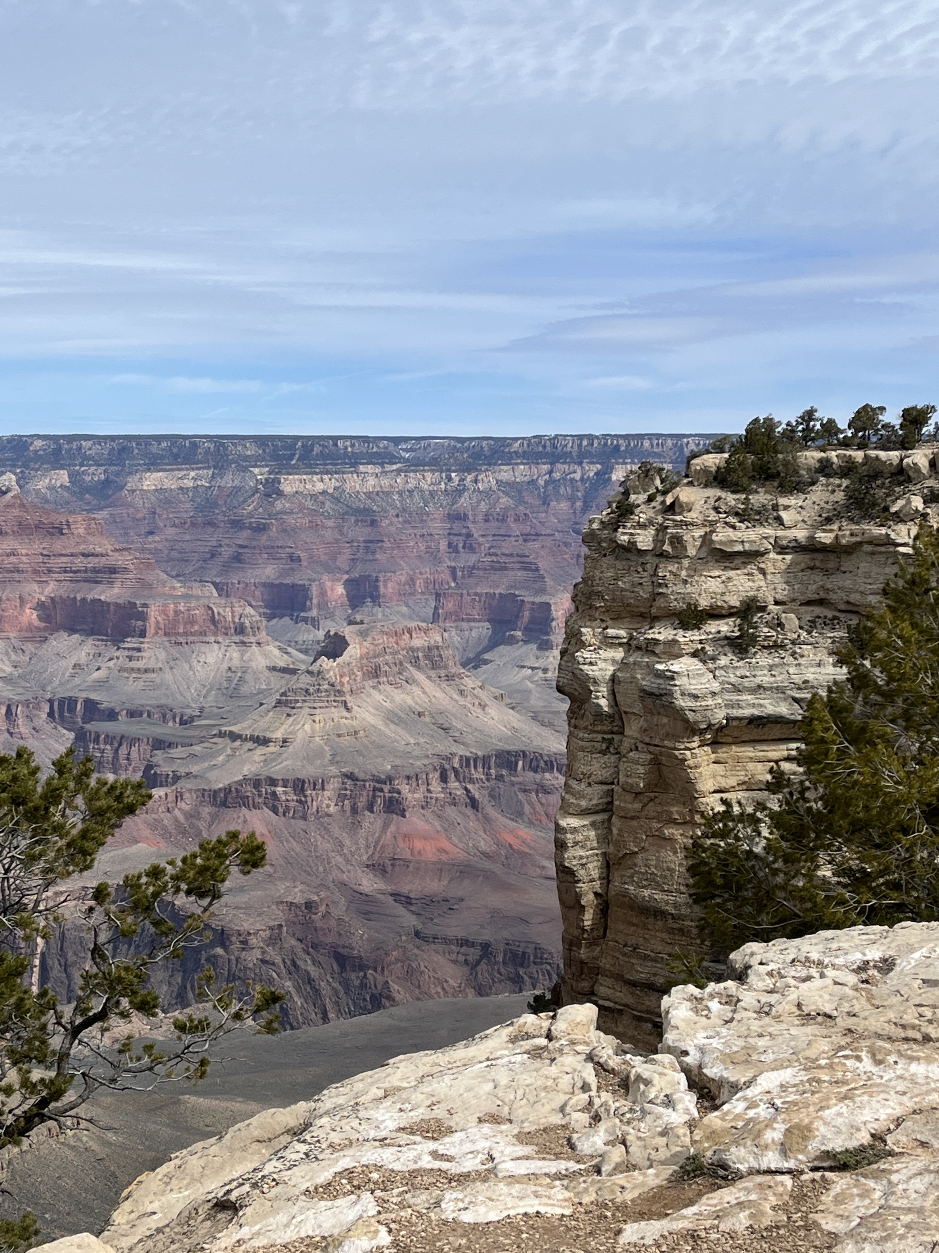
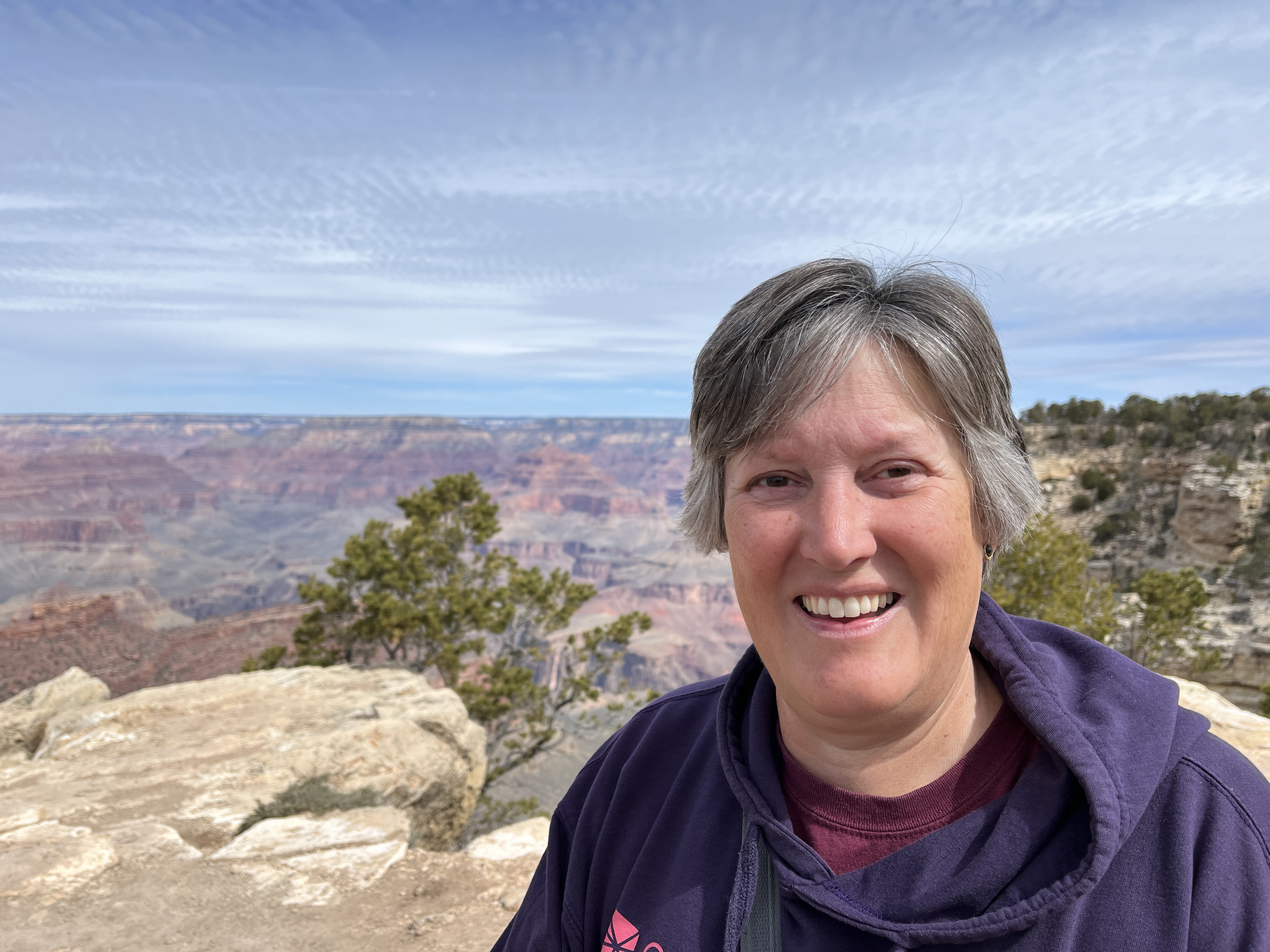
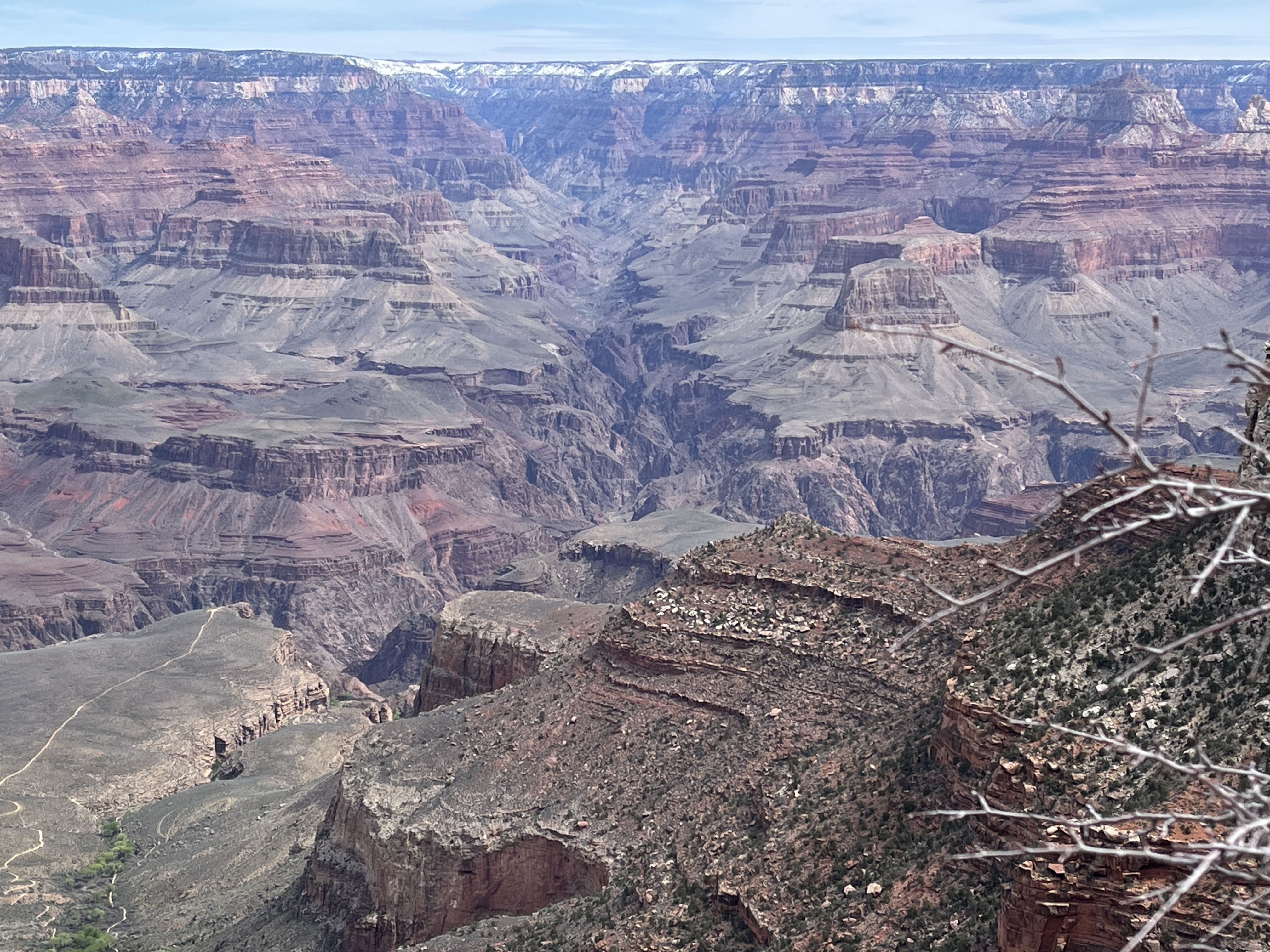
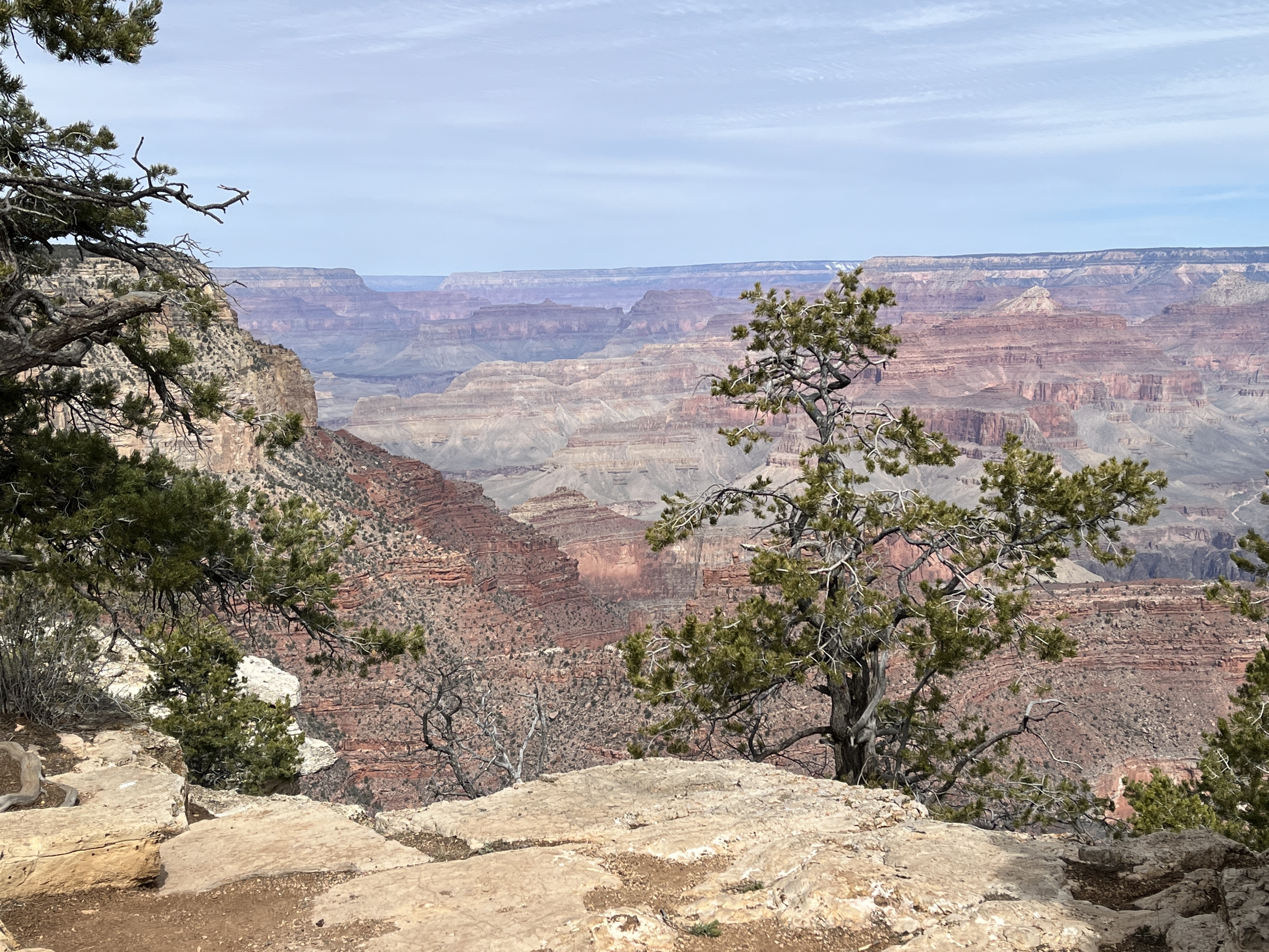
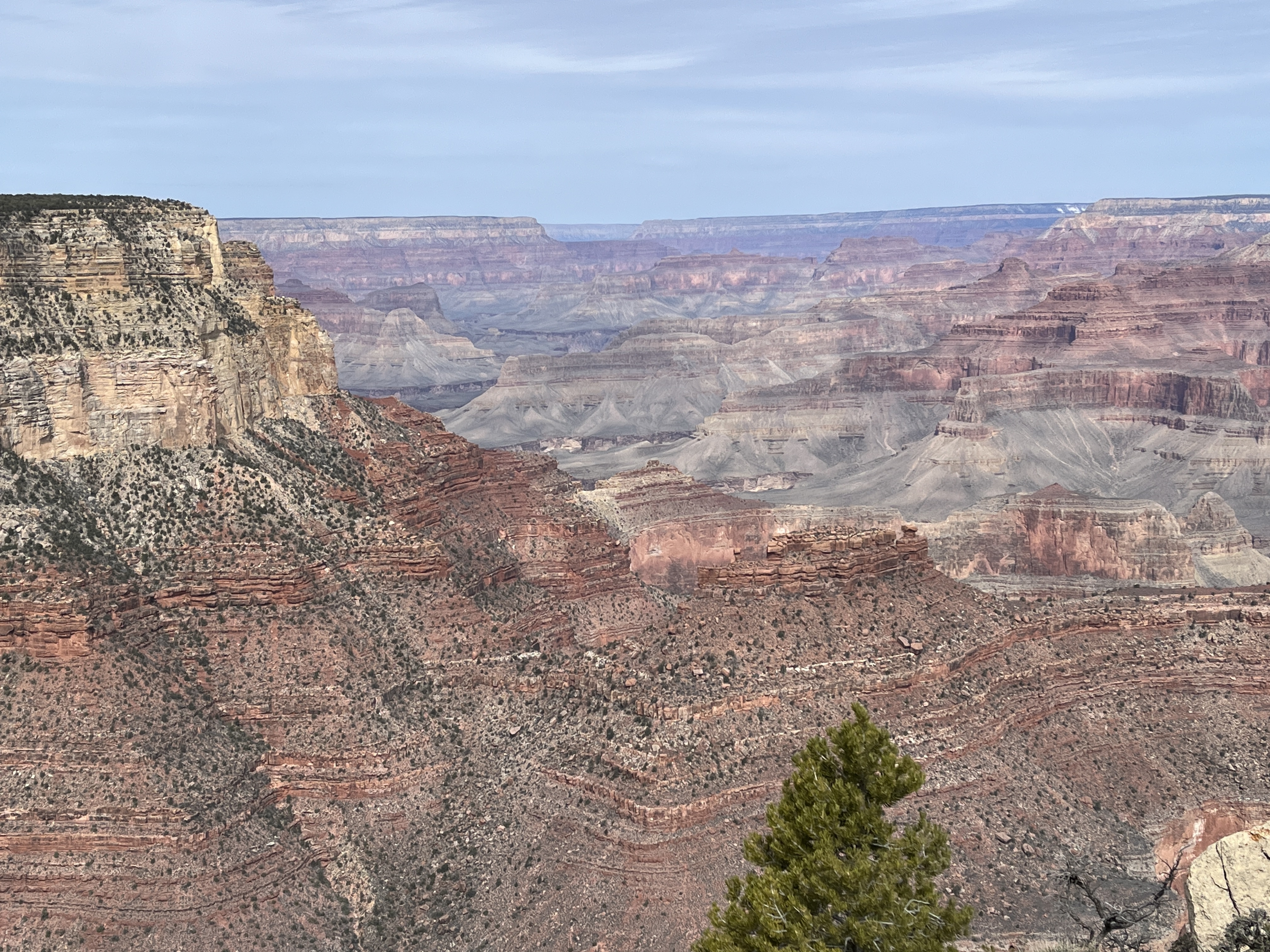
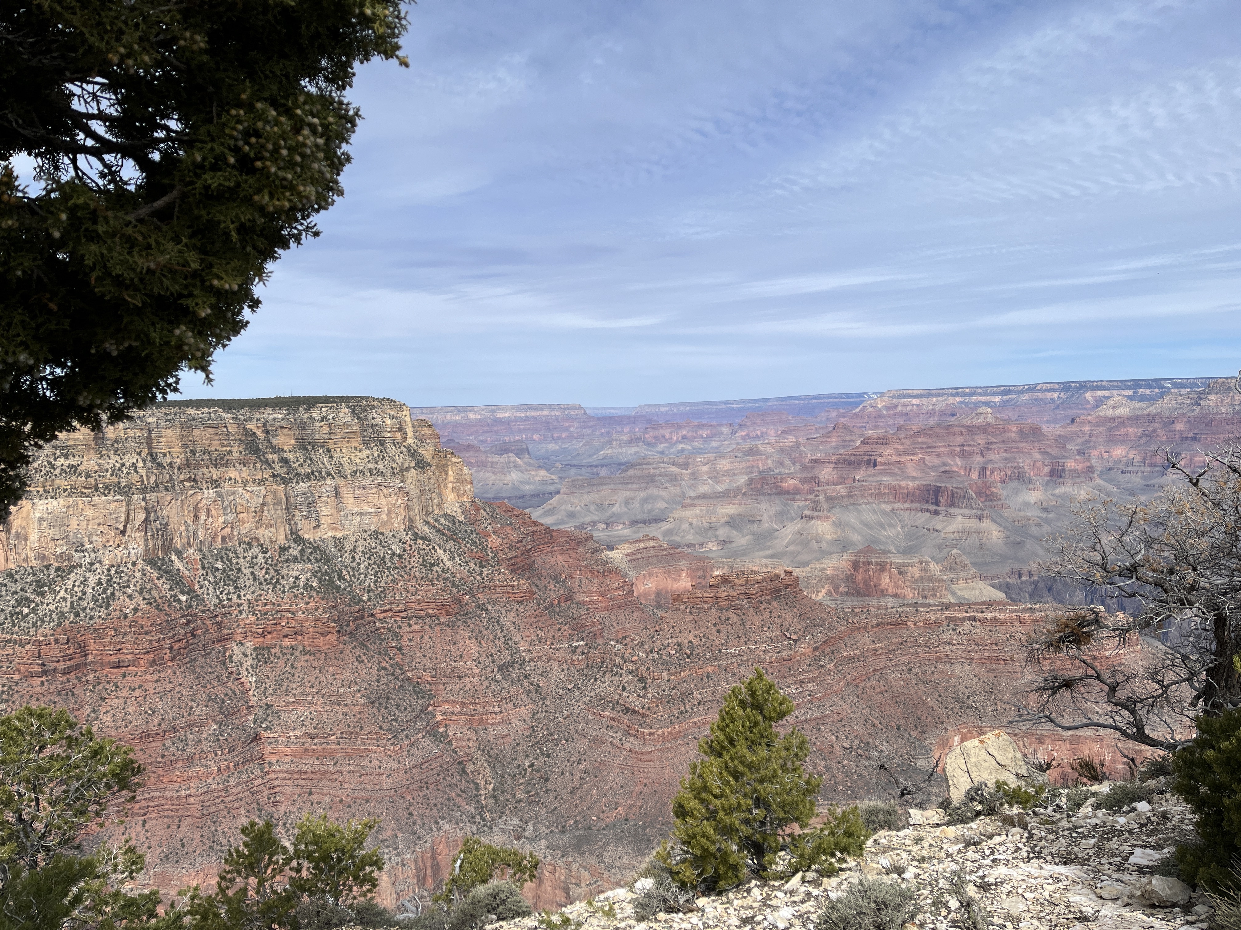
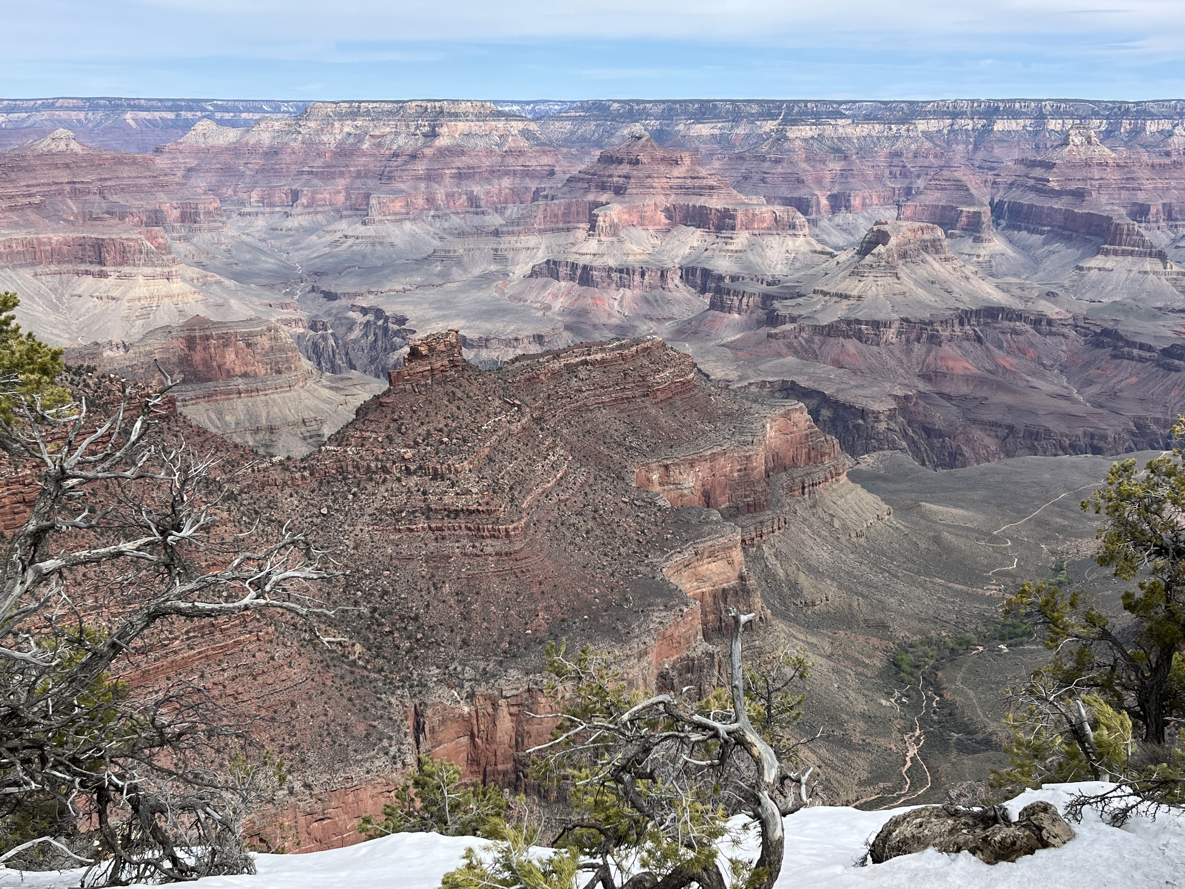
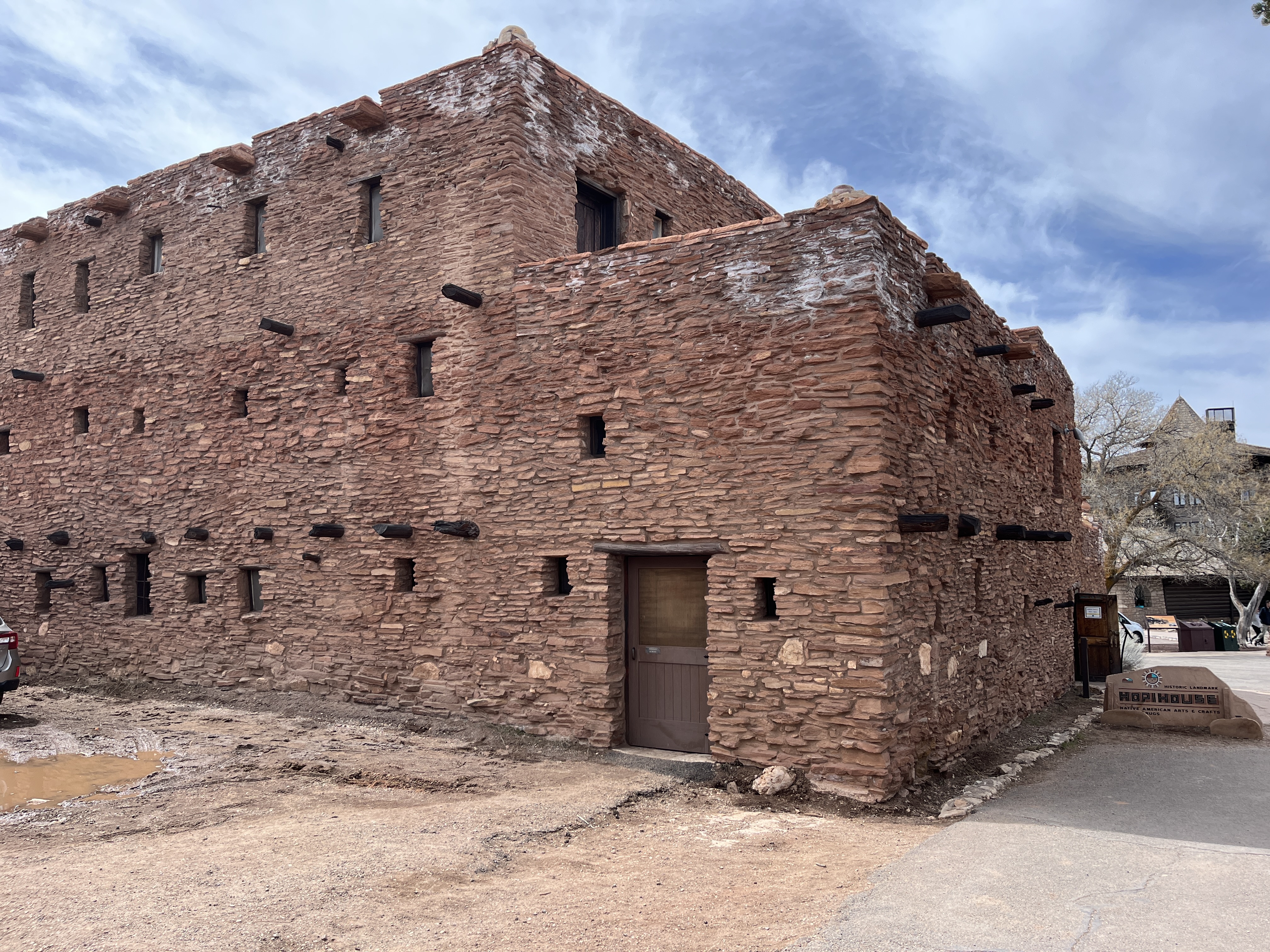
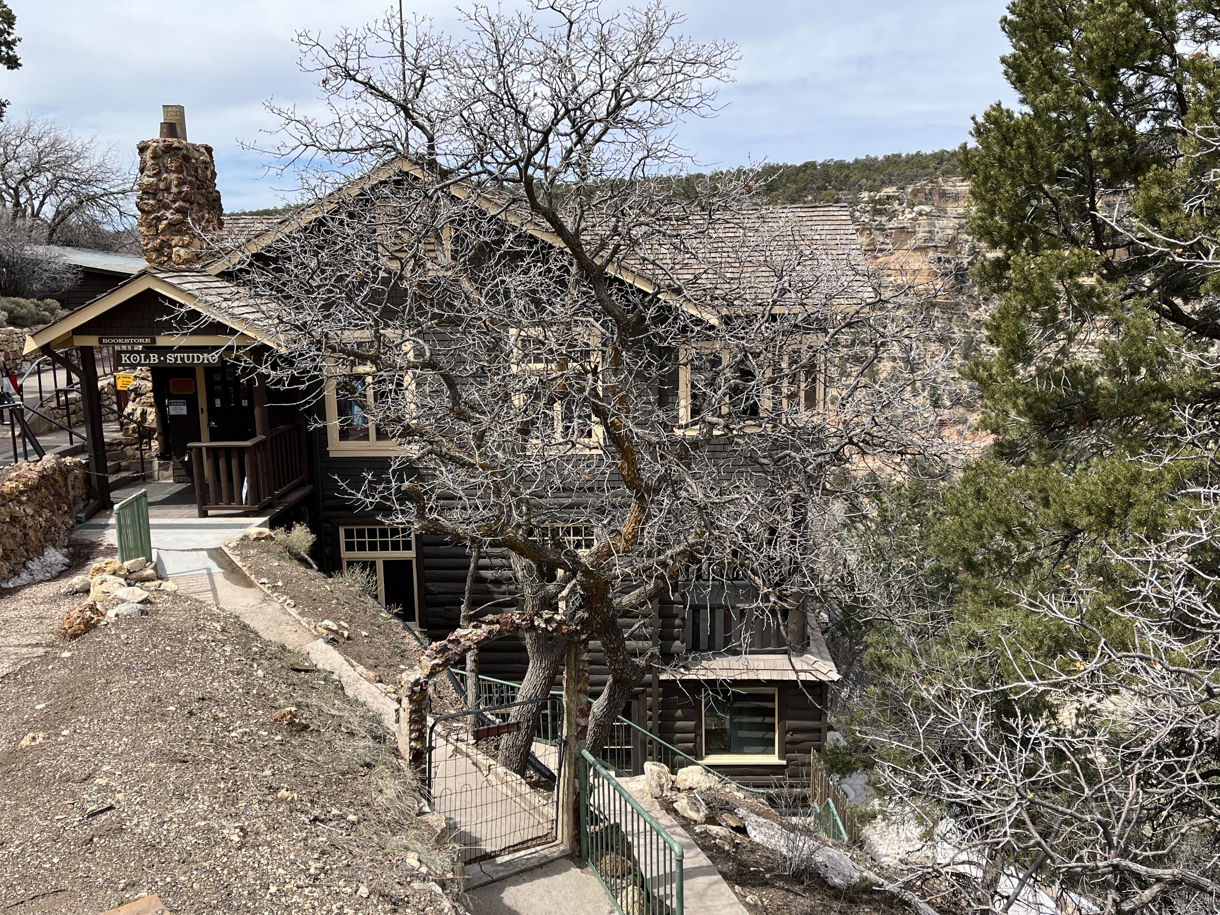
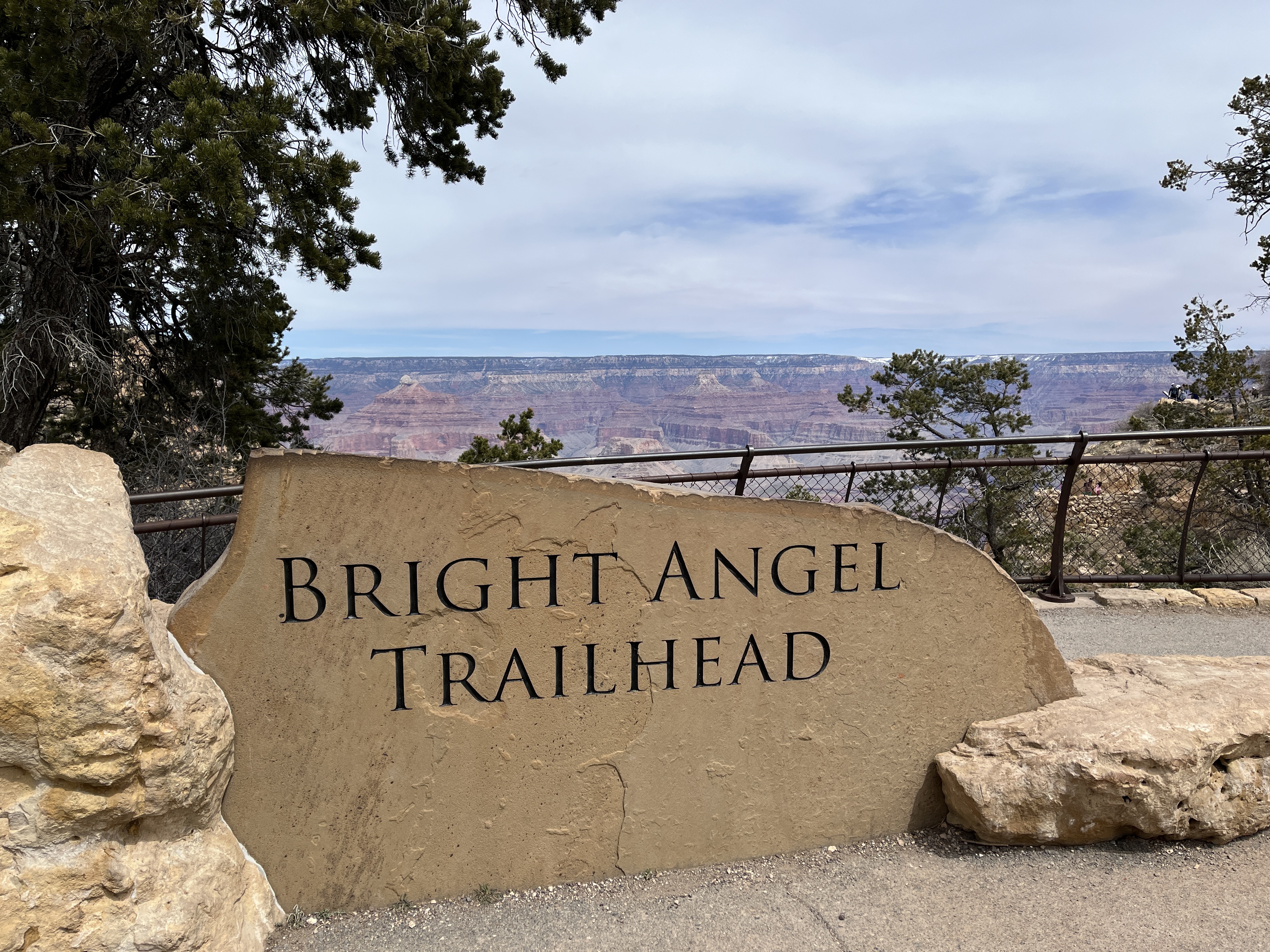
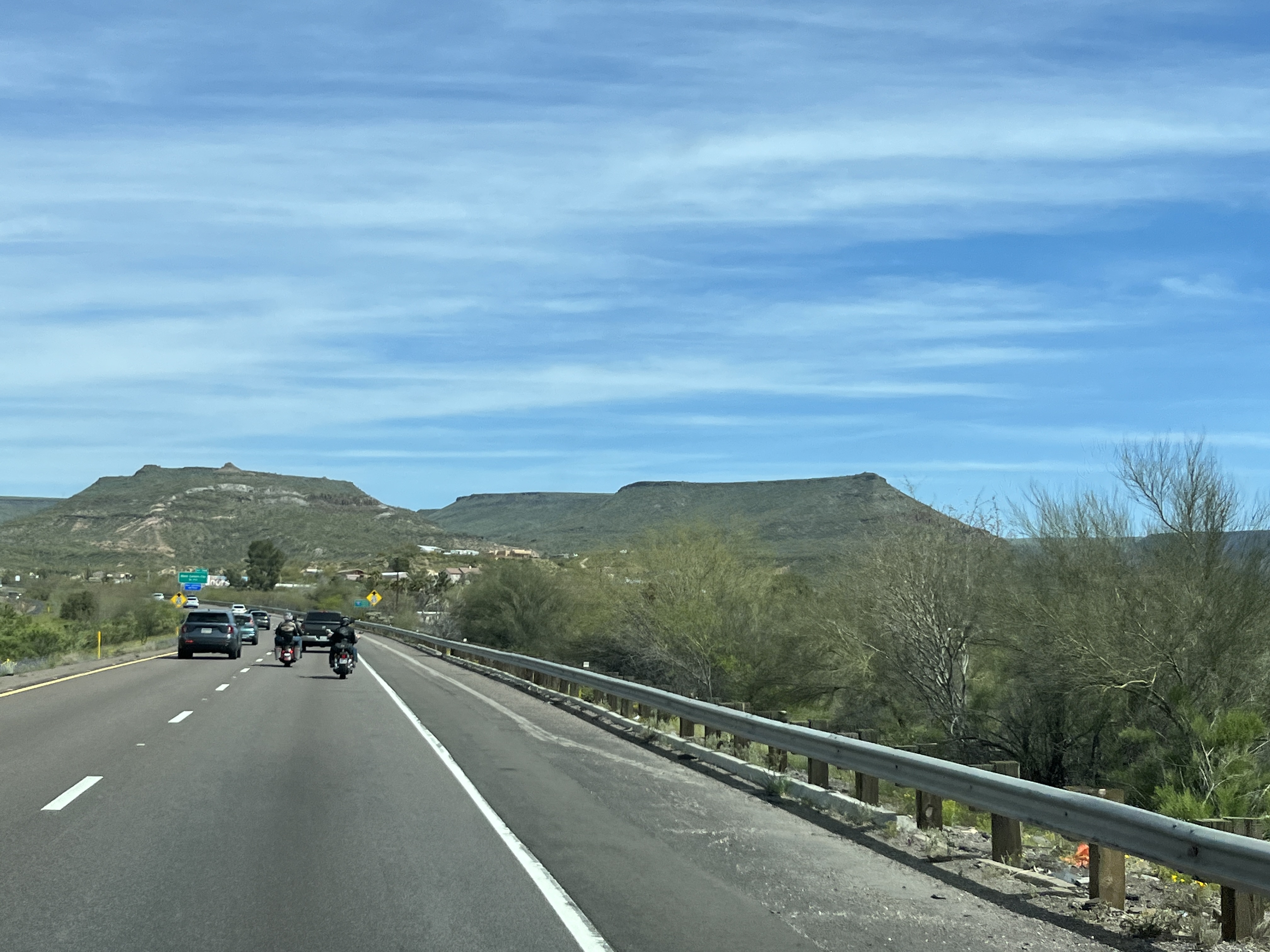
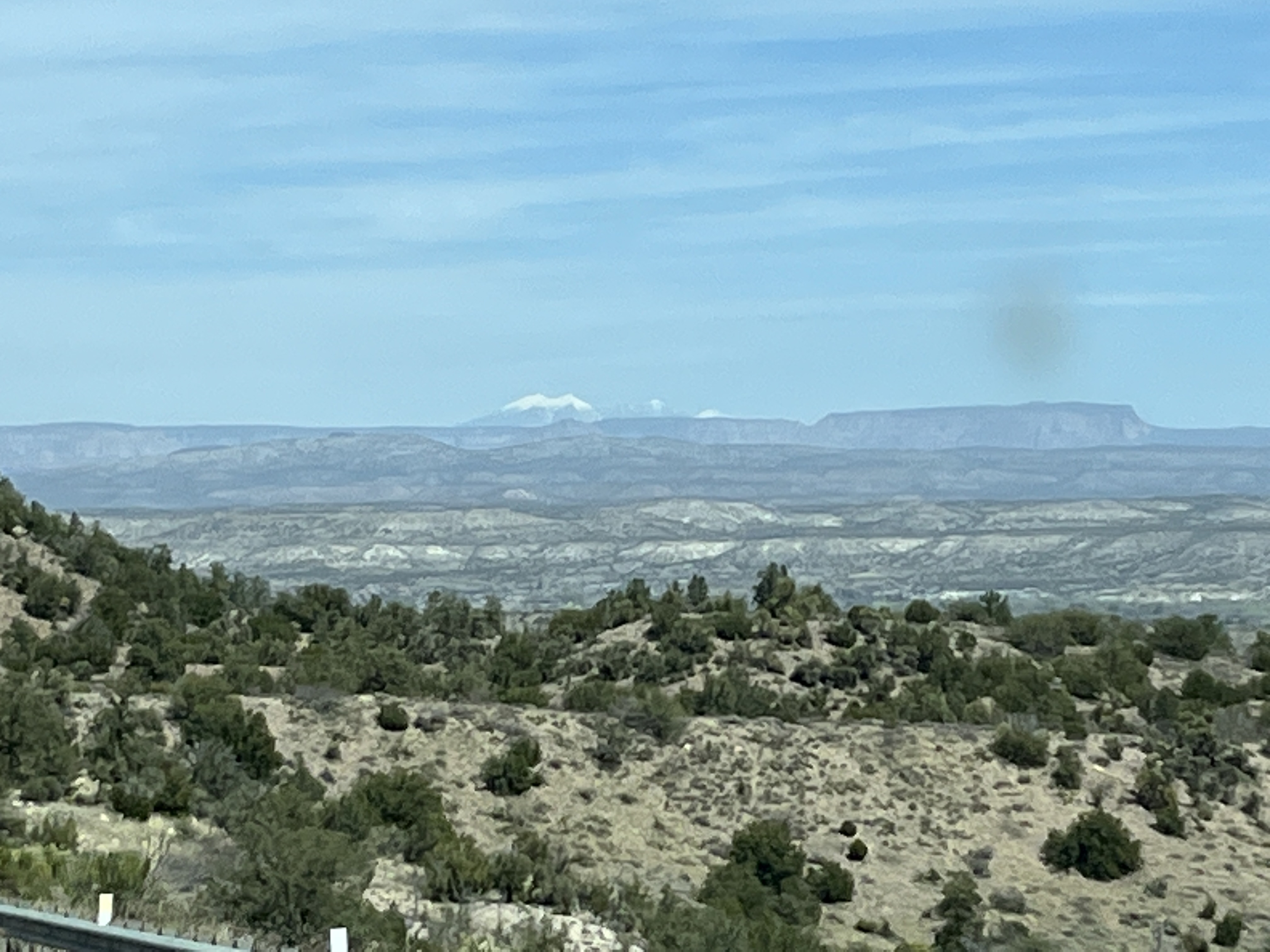
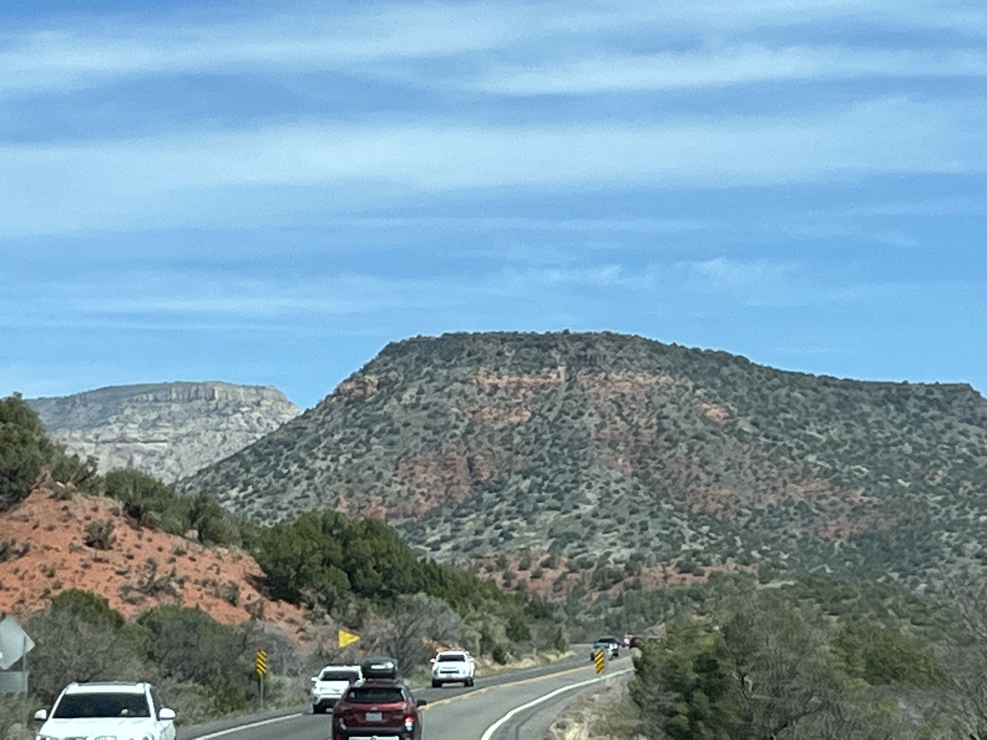
    It’s been a week or so since we arrived home after our 47 day US Southwest tour and I thought I’d share some specifics about the trip.

    The first question tends to be about where we stayed each night. Did we find suitable camping locations? So, here are the stats for that.

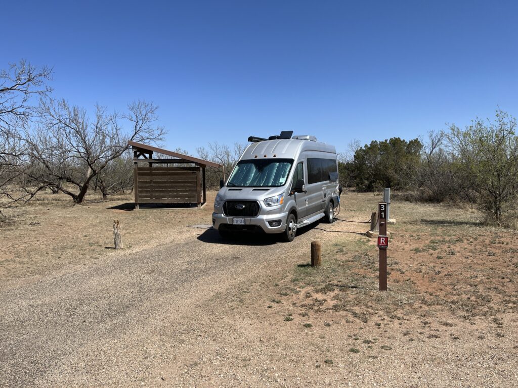
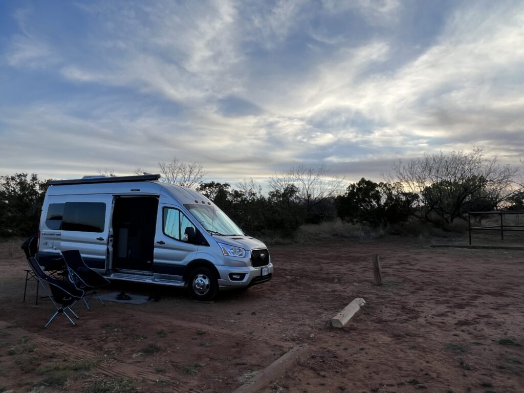
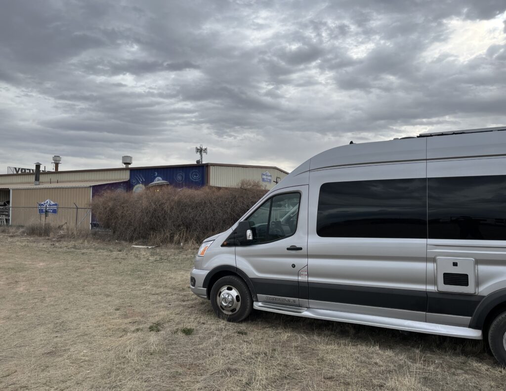
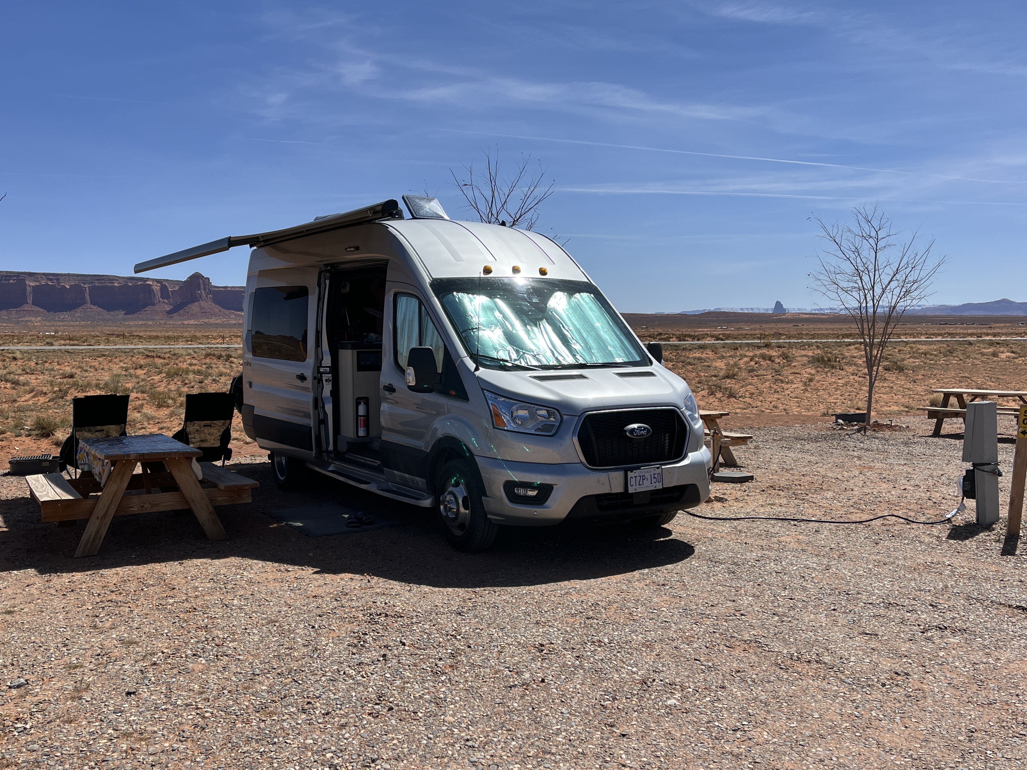
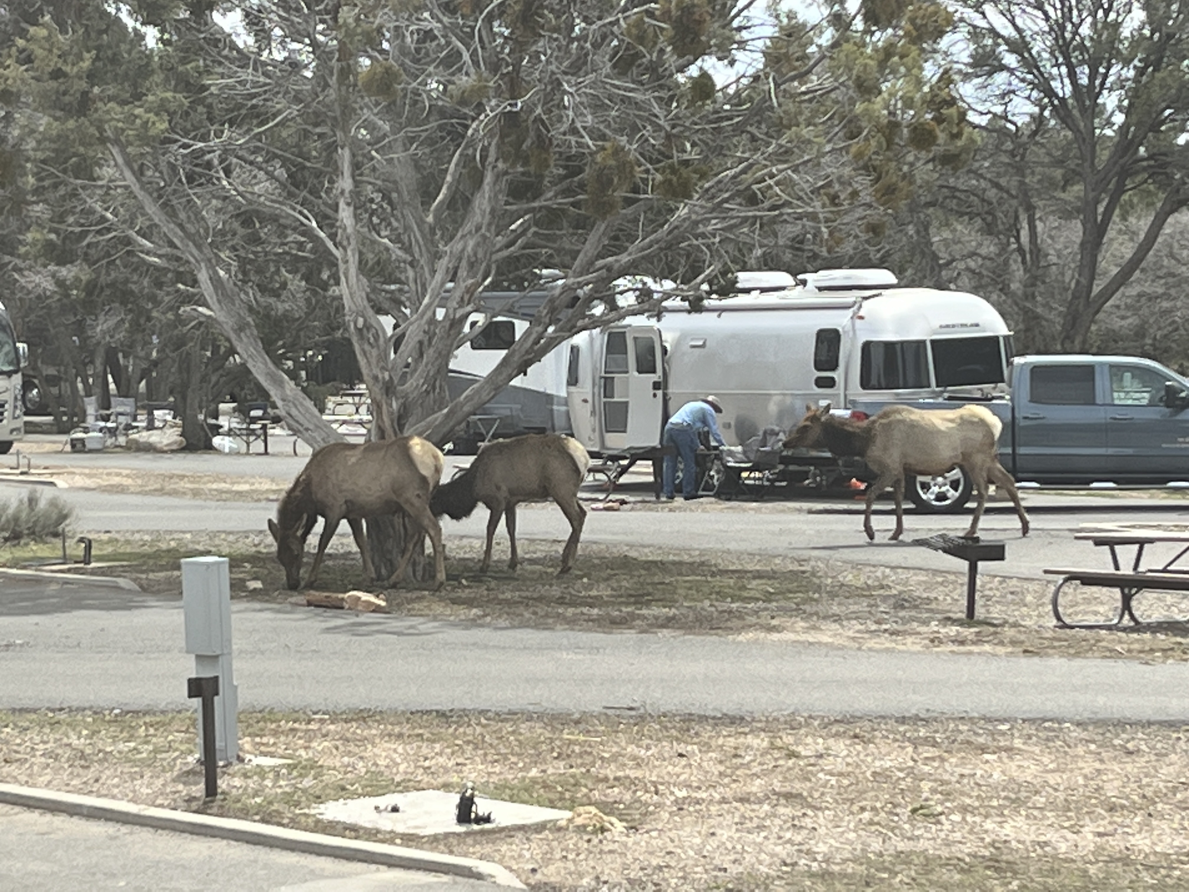
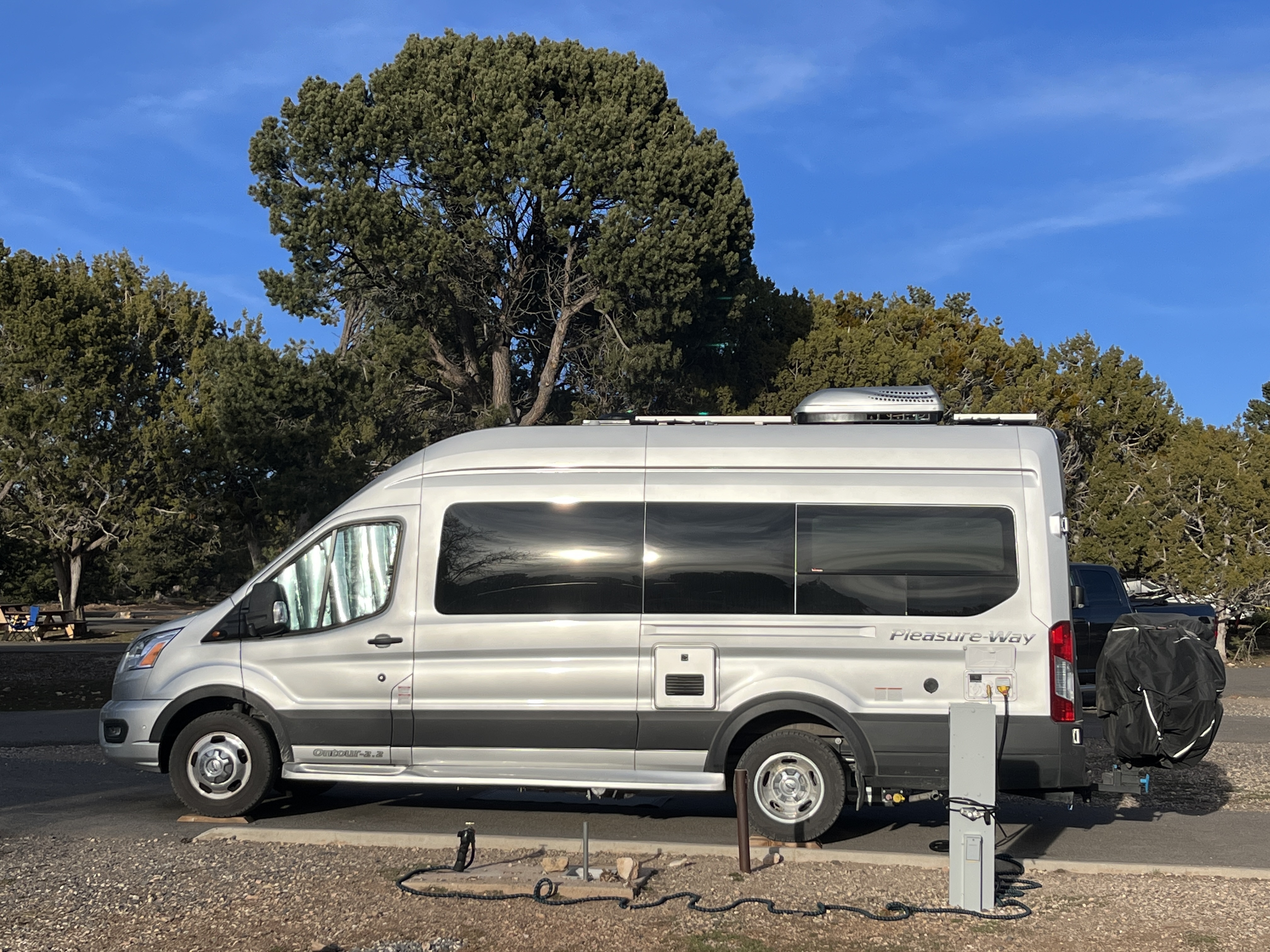
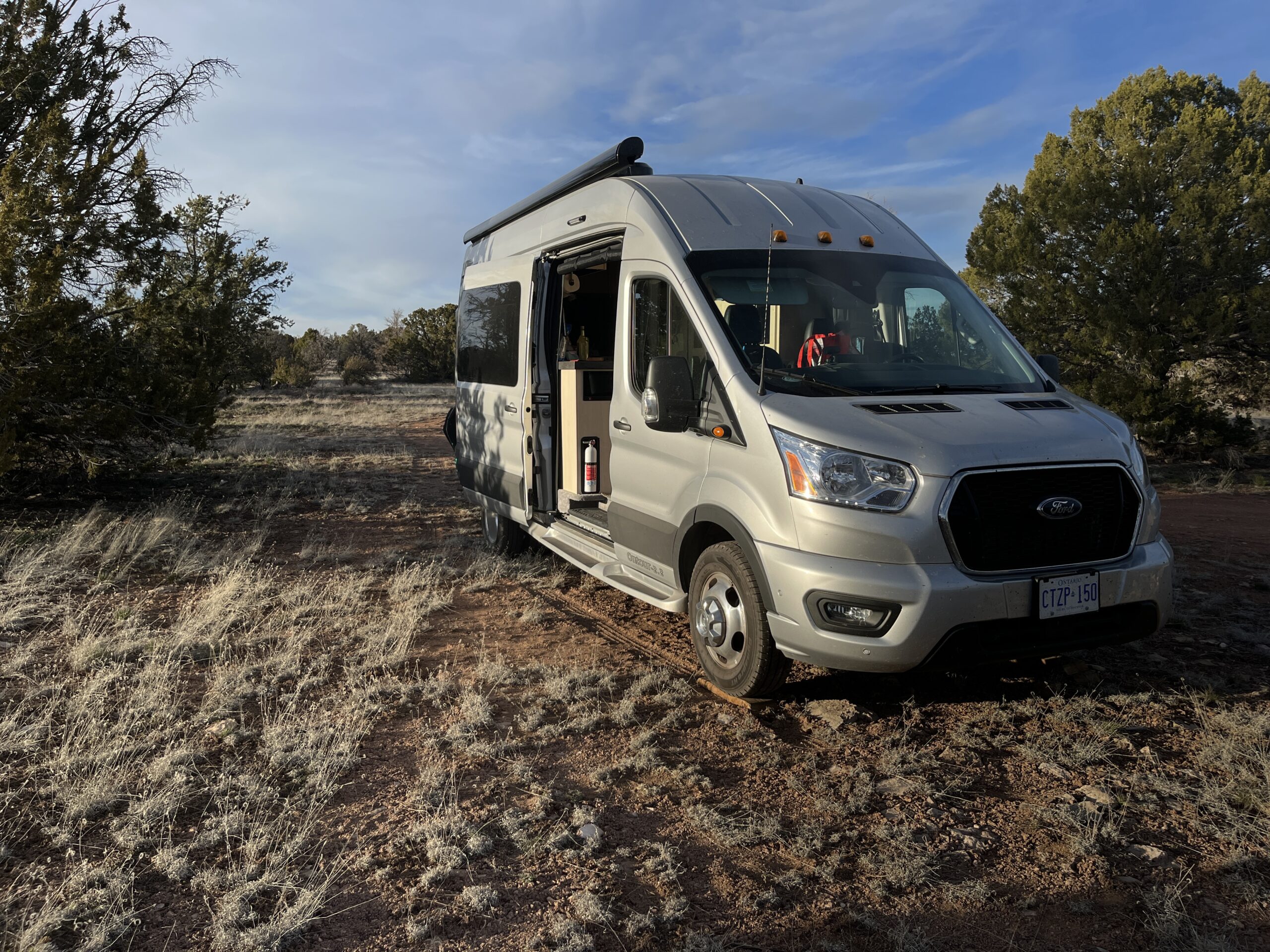
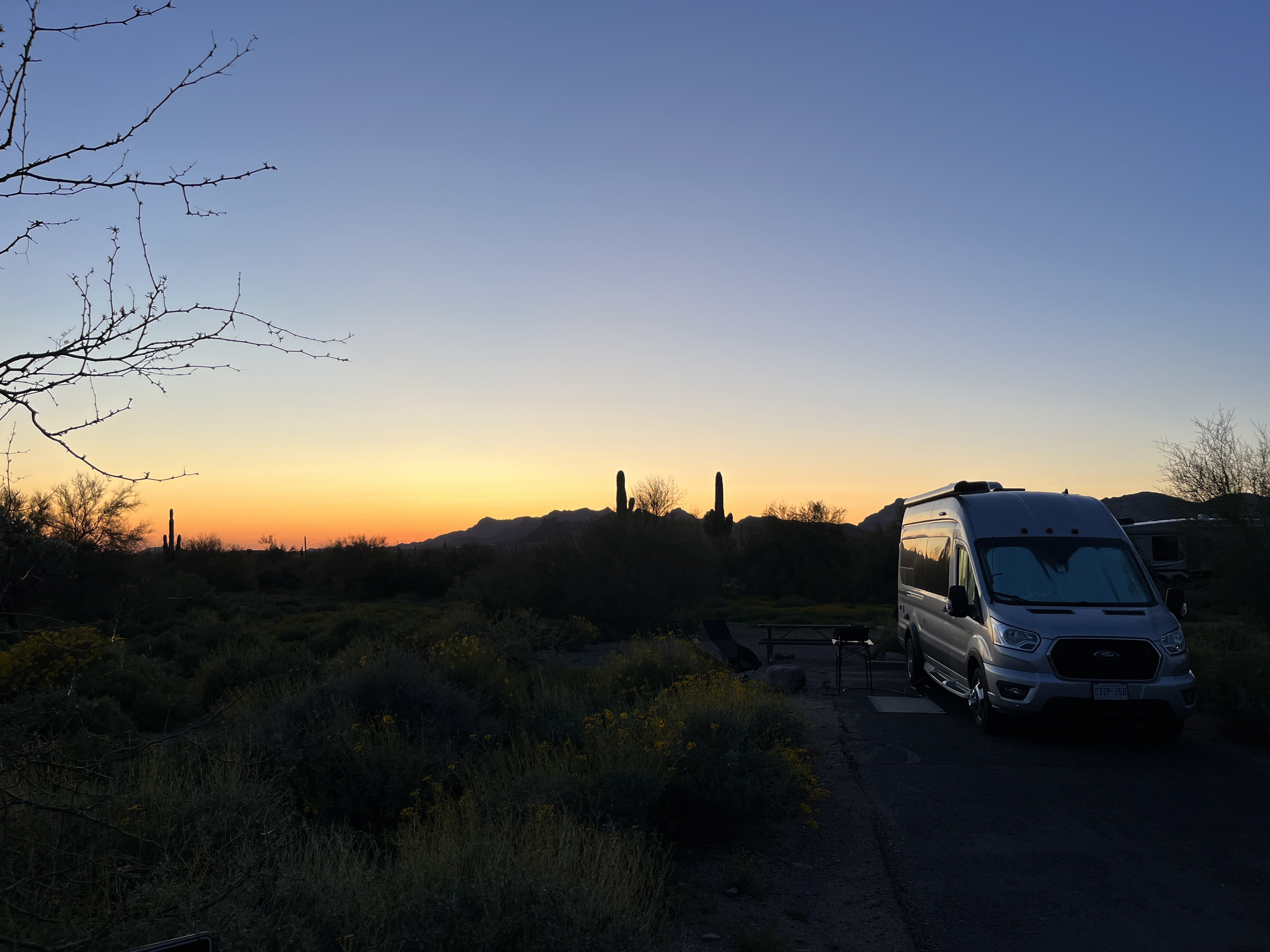
    • 15 nights free camping (Cracker Barrel, Walmart, Harvest Hosts, BLM land & family laneways).
    • 12 nights at private campgrounds (serviced).
    • 19 nights at US state parks (serviced).

    As you can see we mixed it up a bit and tried a variety of places. Favorites?

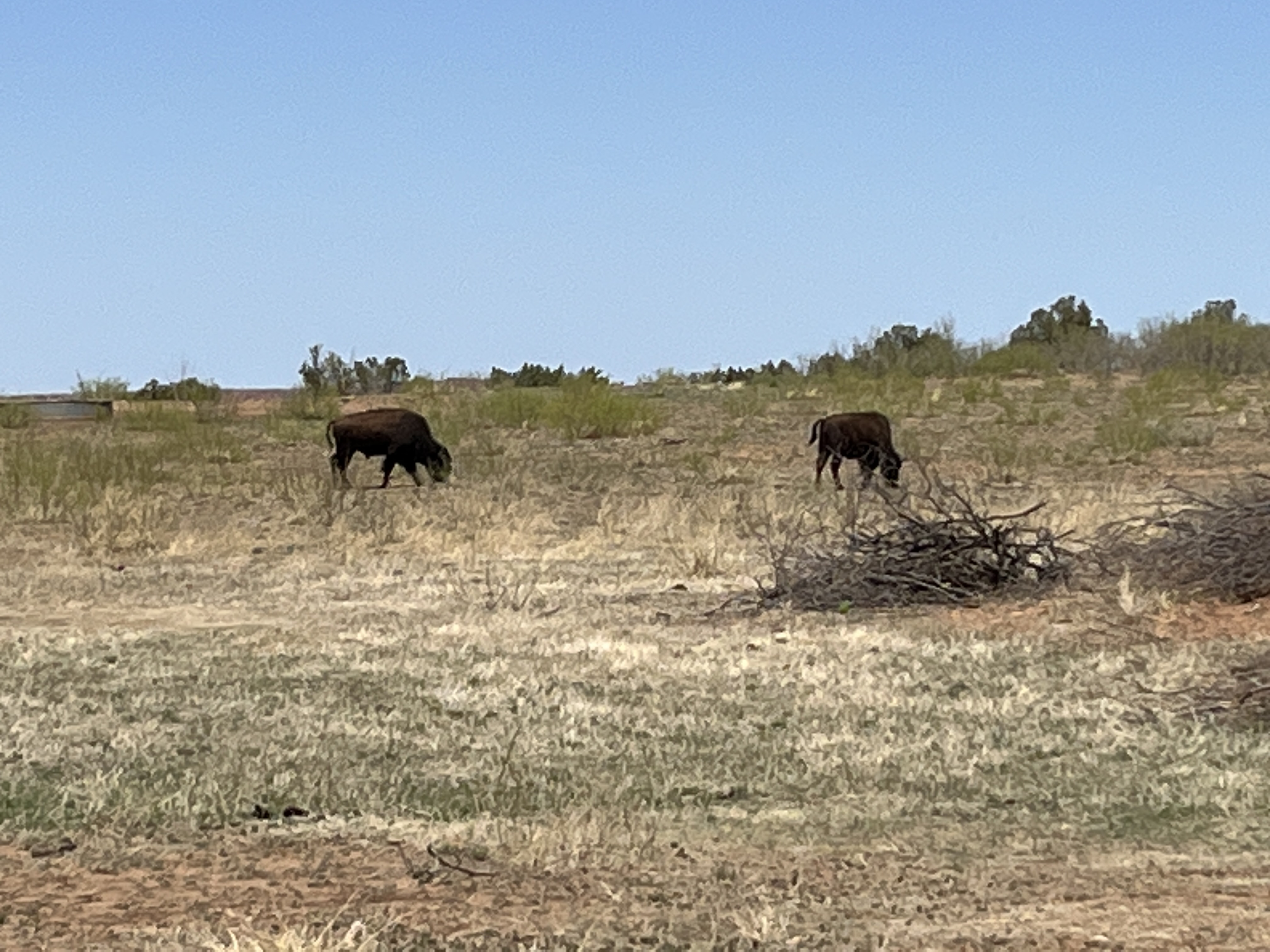
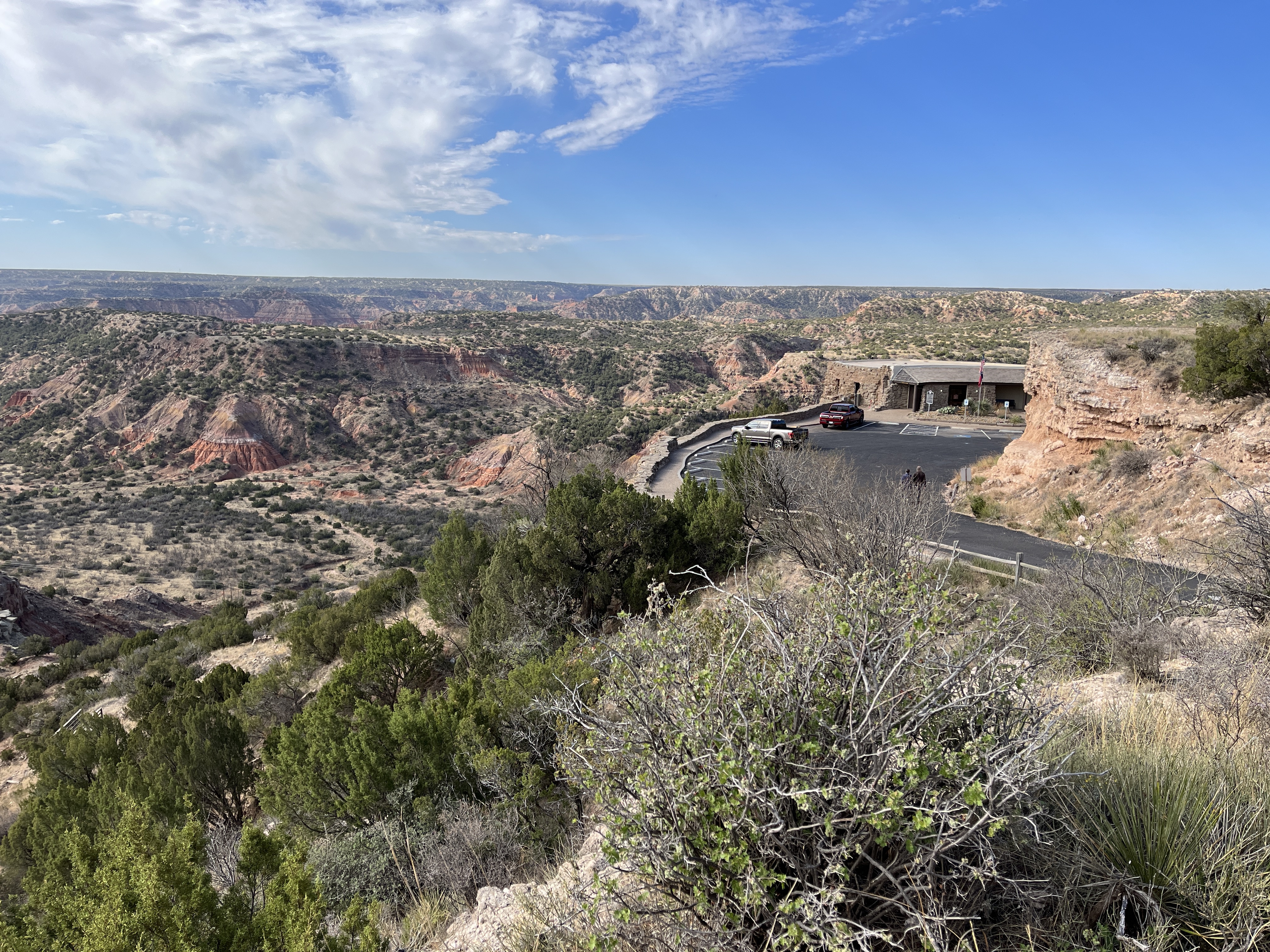
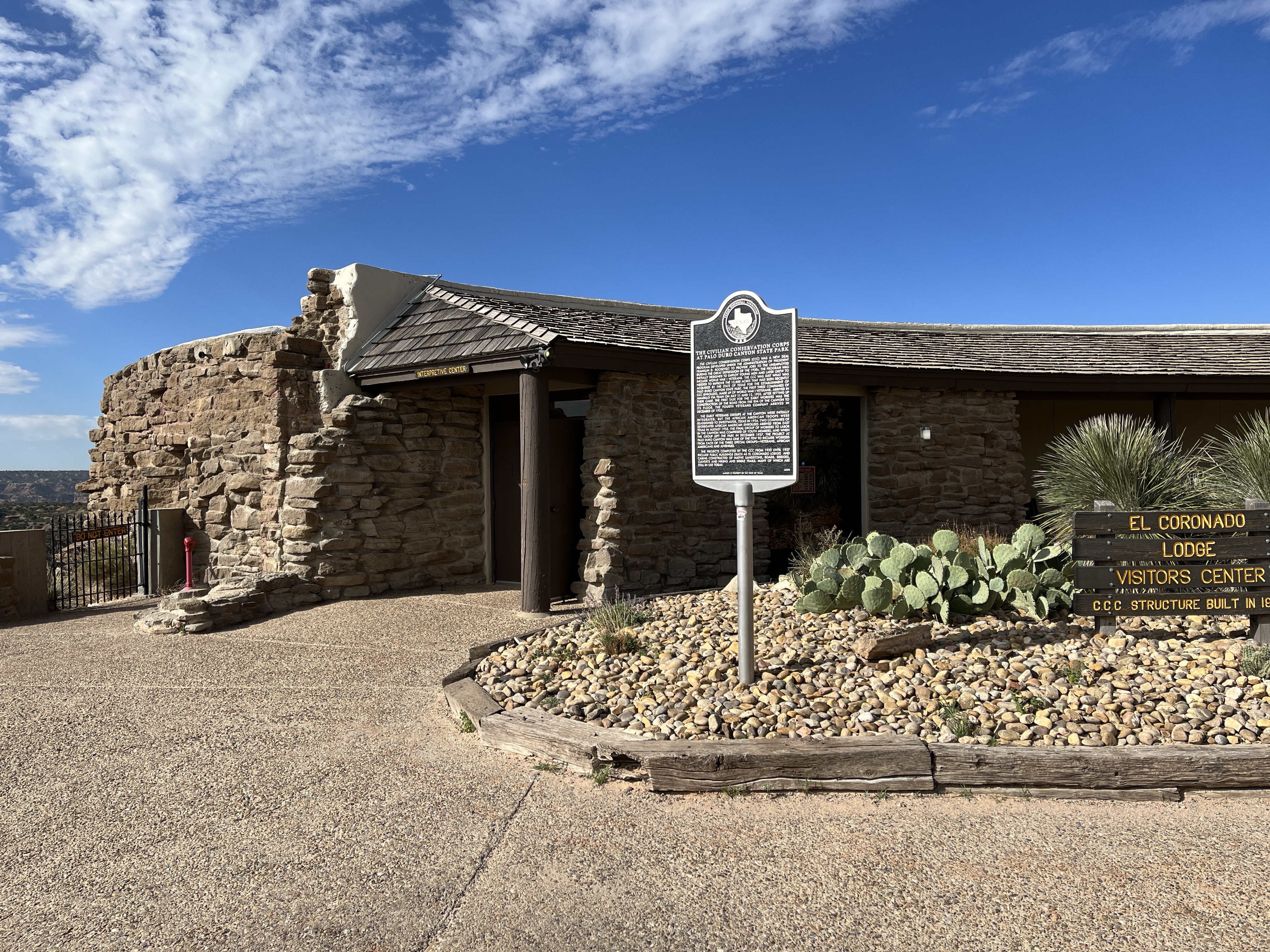
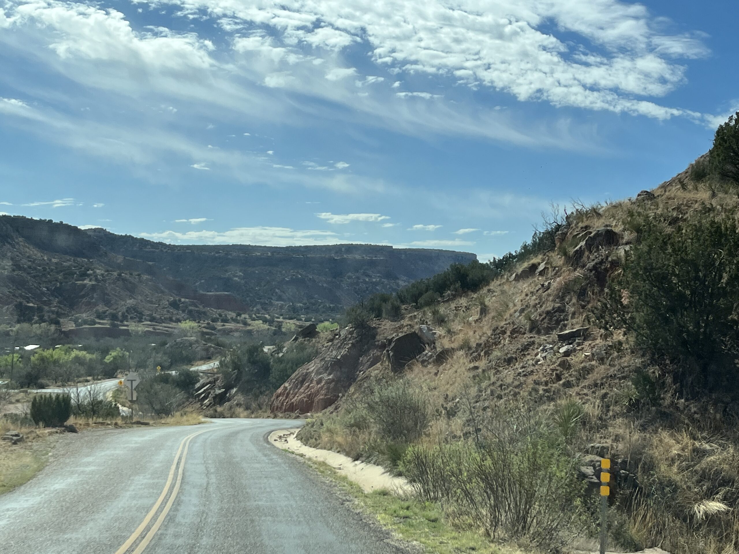
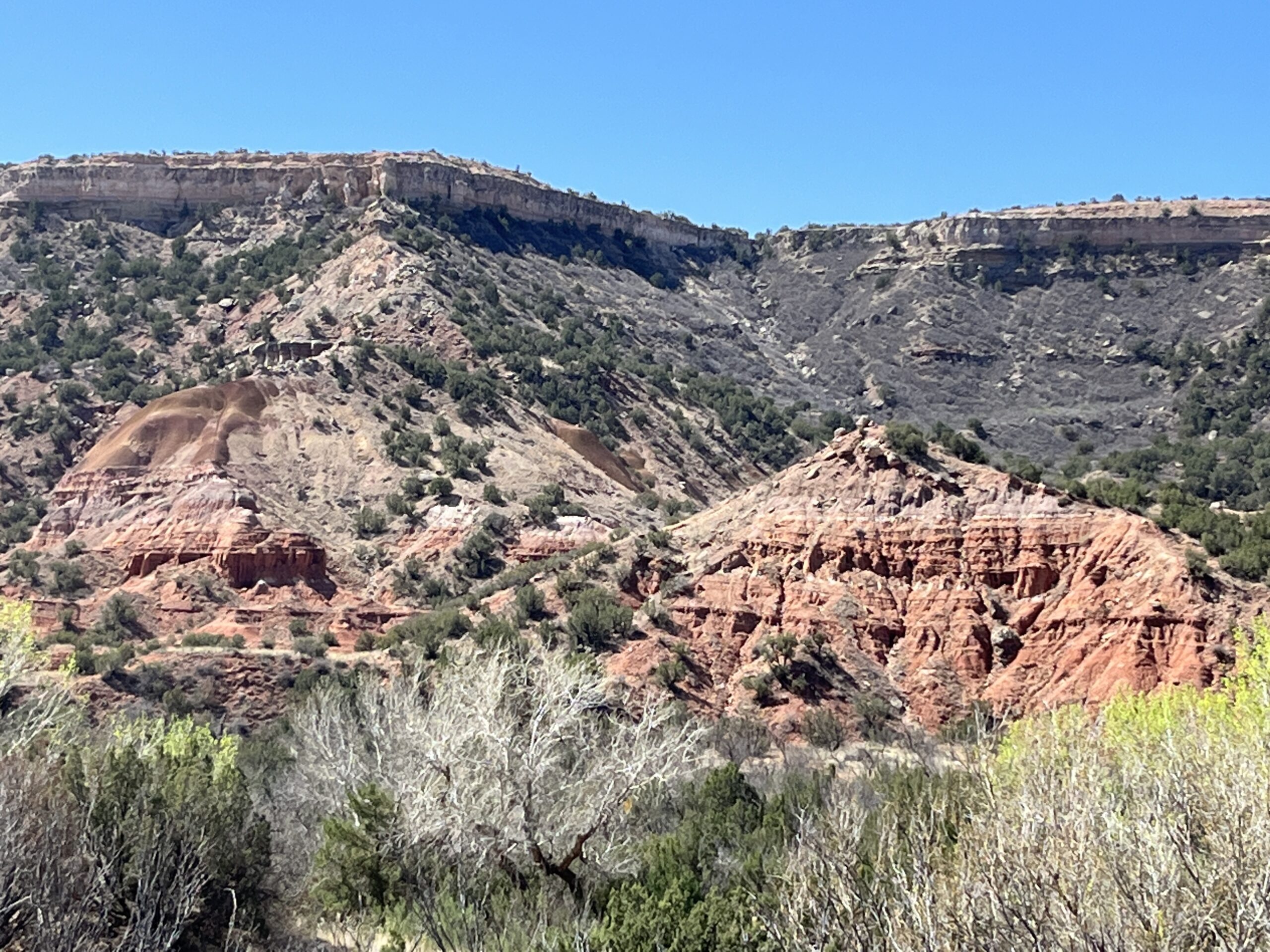
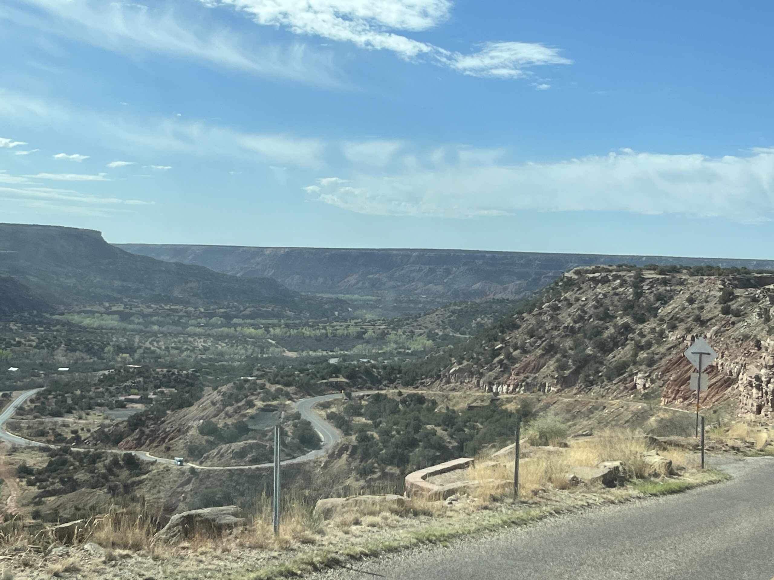
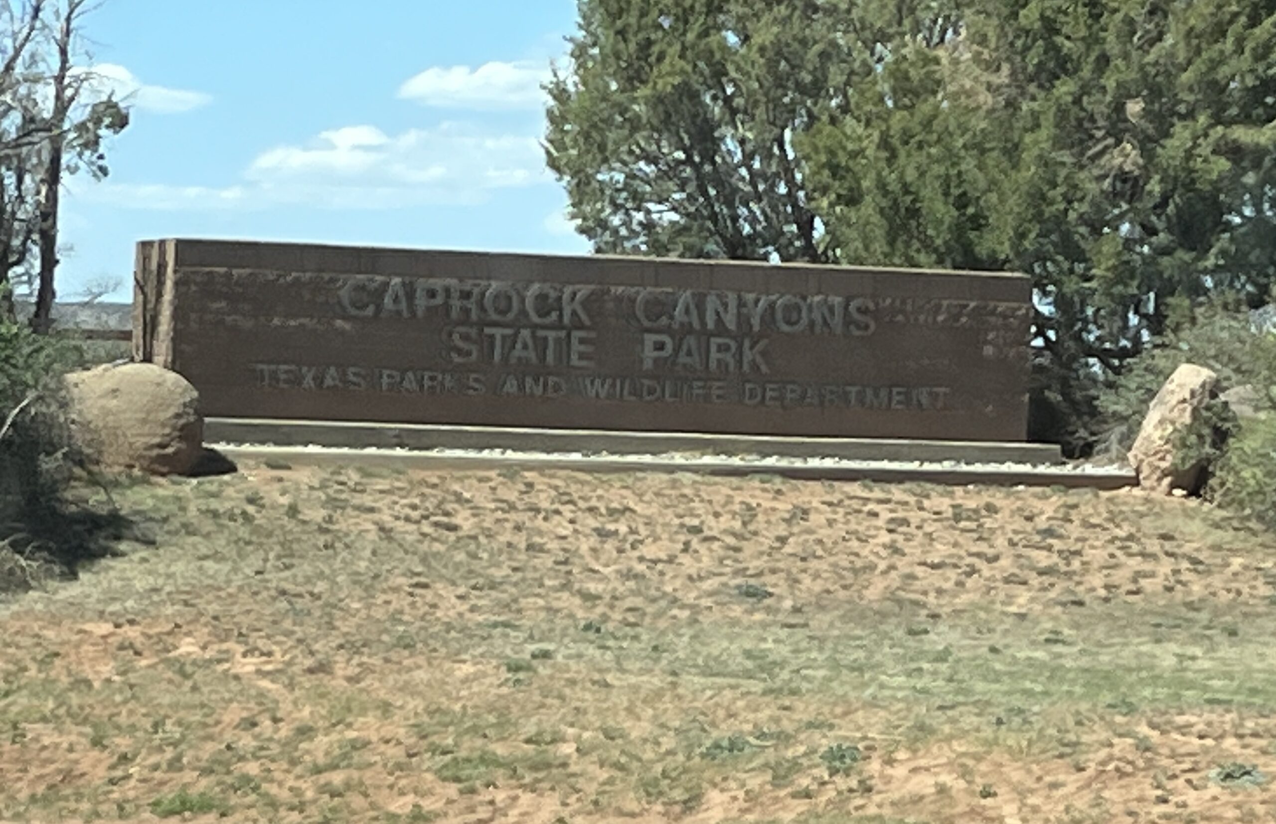
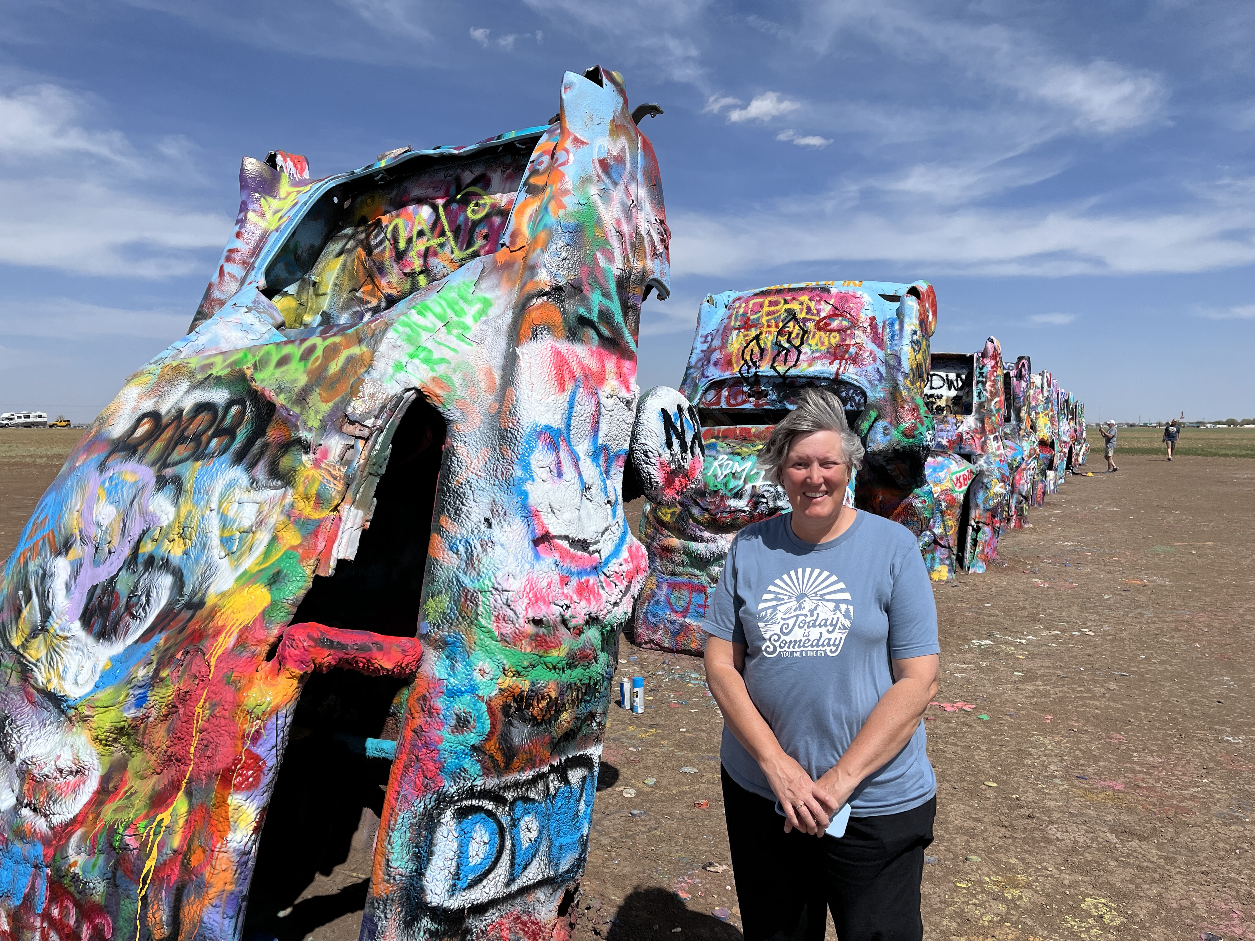
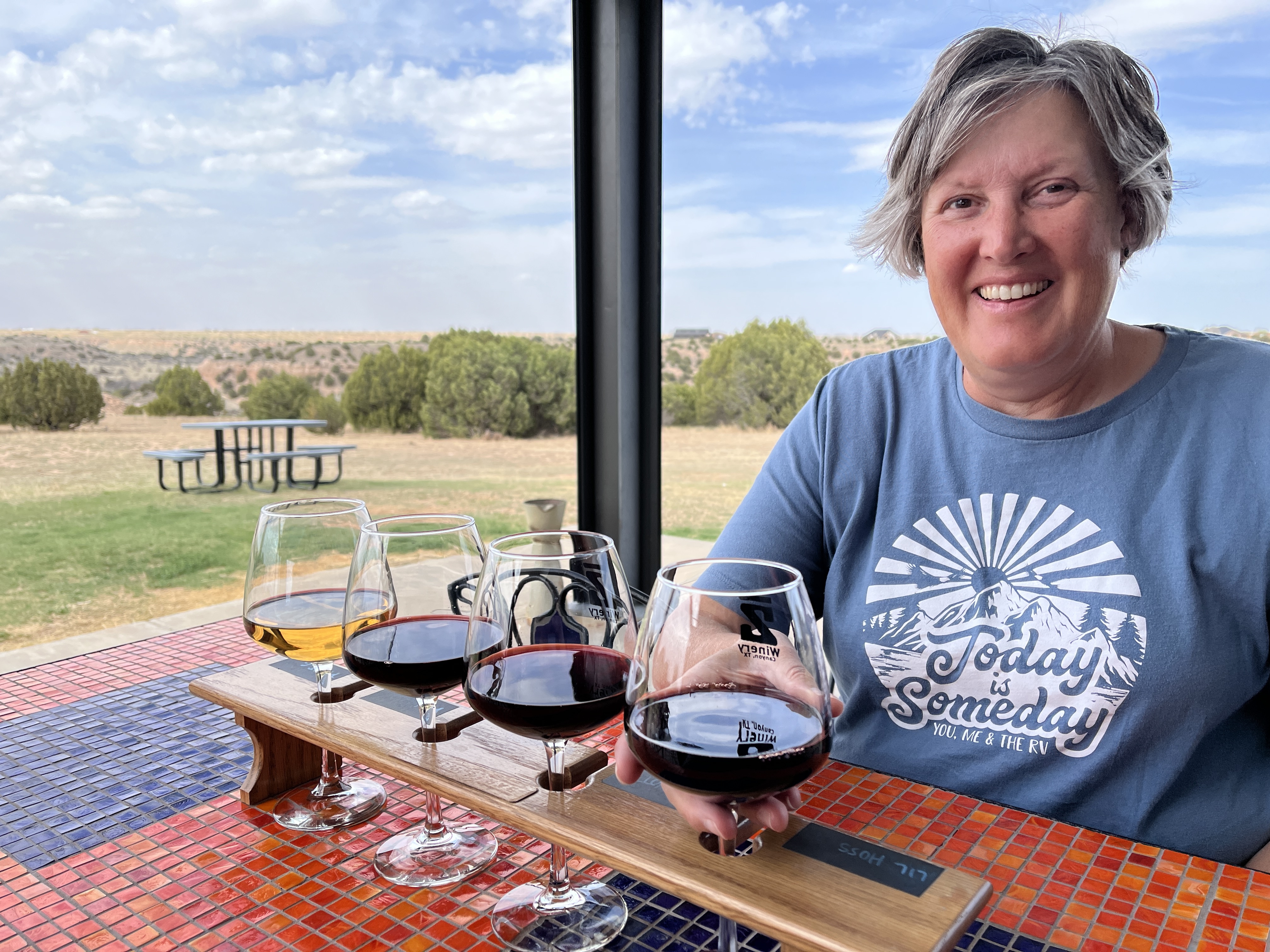
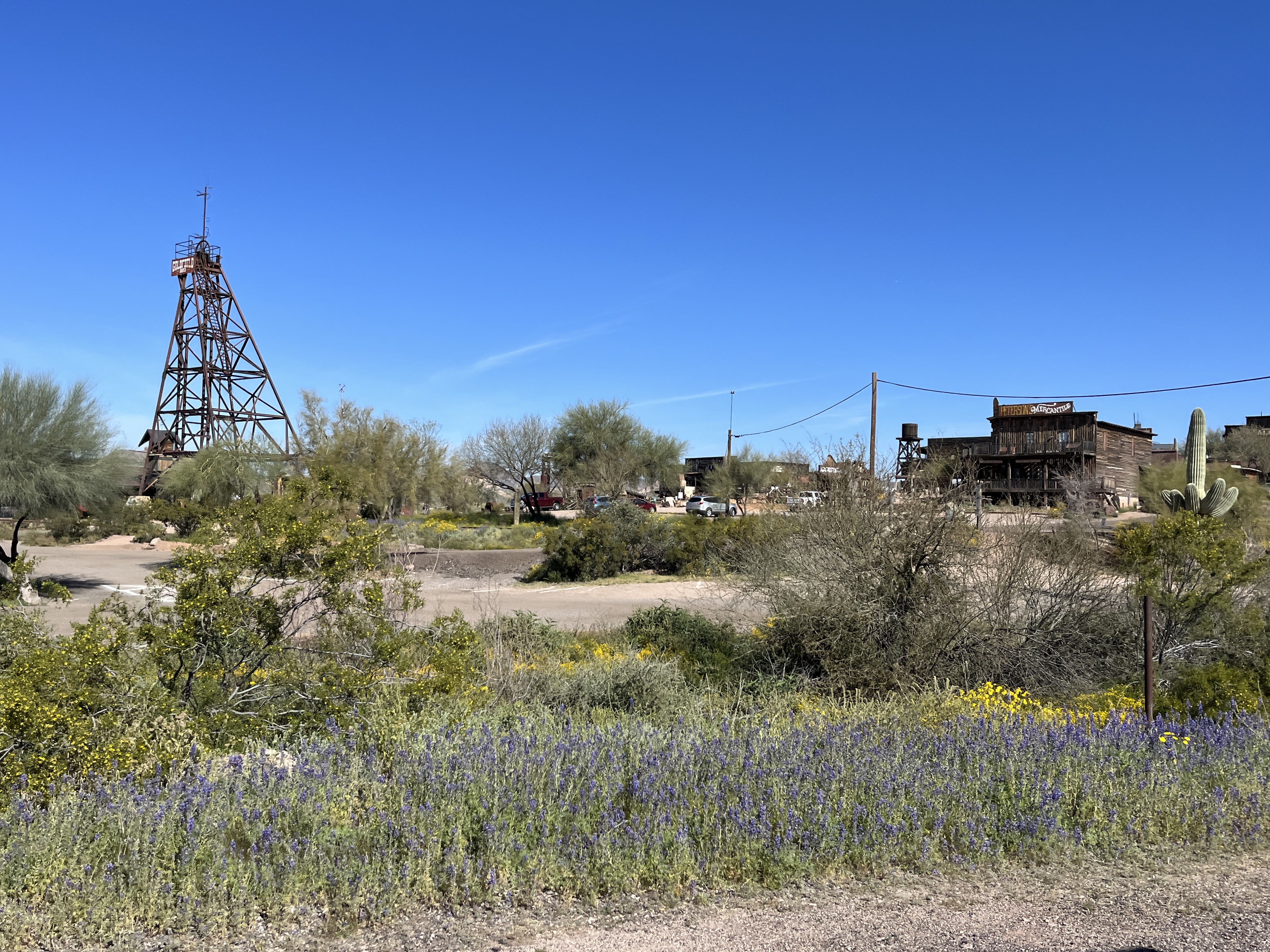
    • Harvest Host: Bar Z winery, Canyon, TX. Great wine & canyon views from their patio.
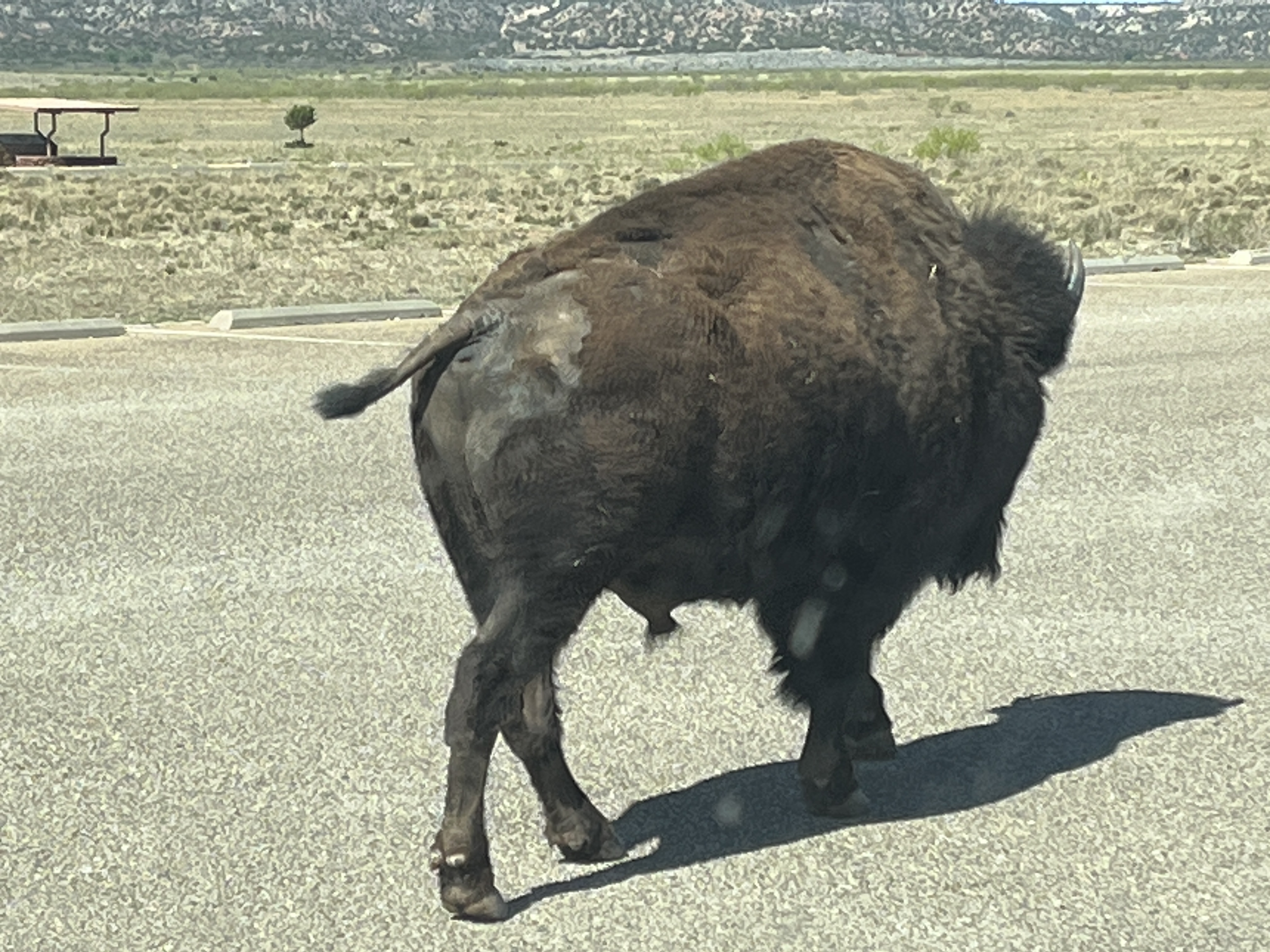
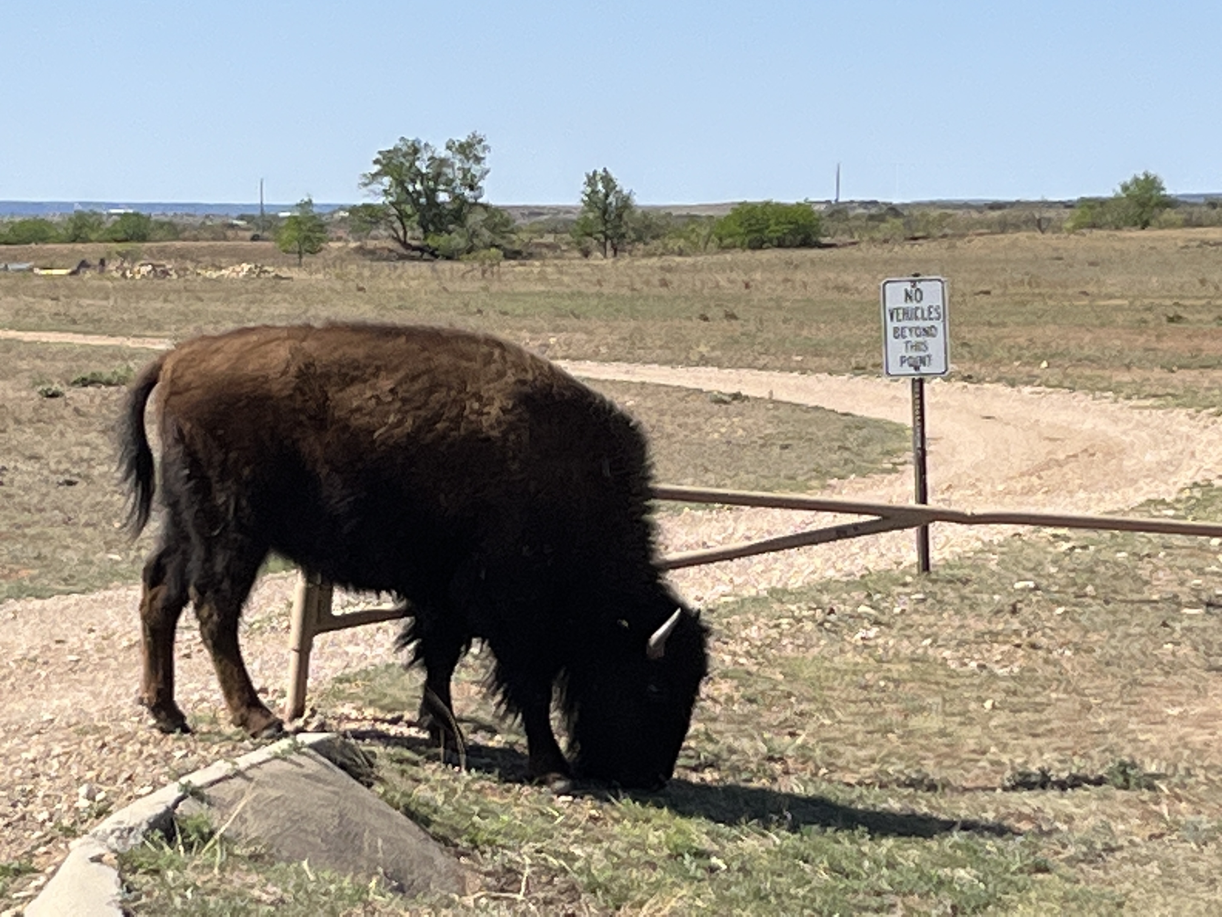
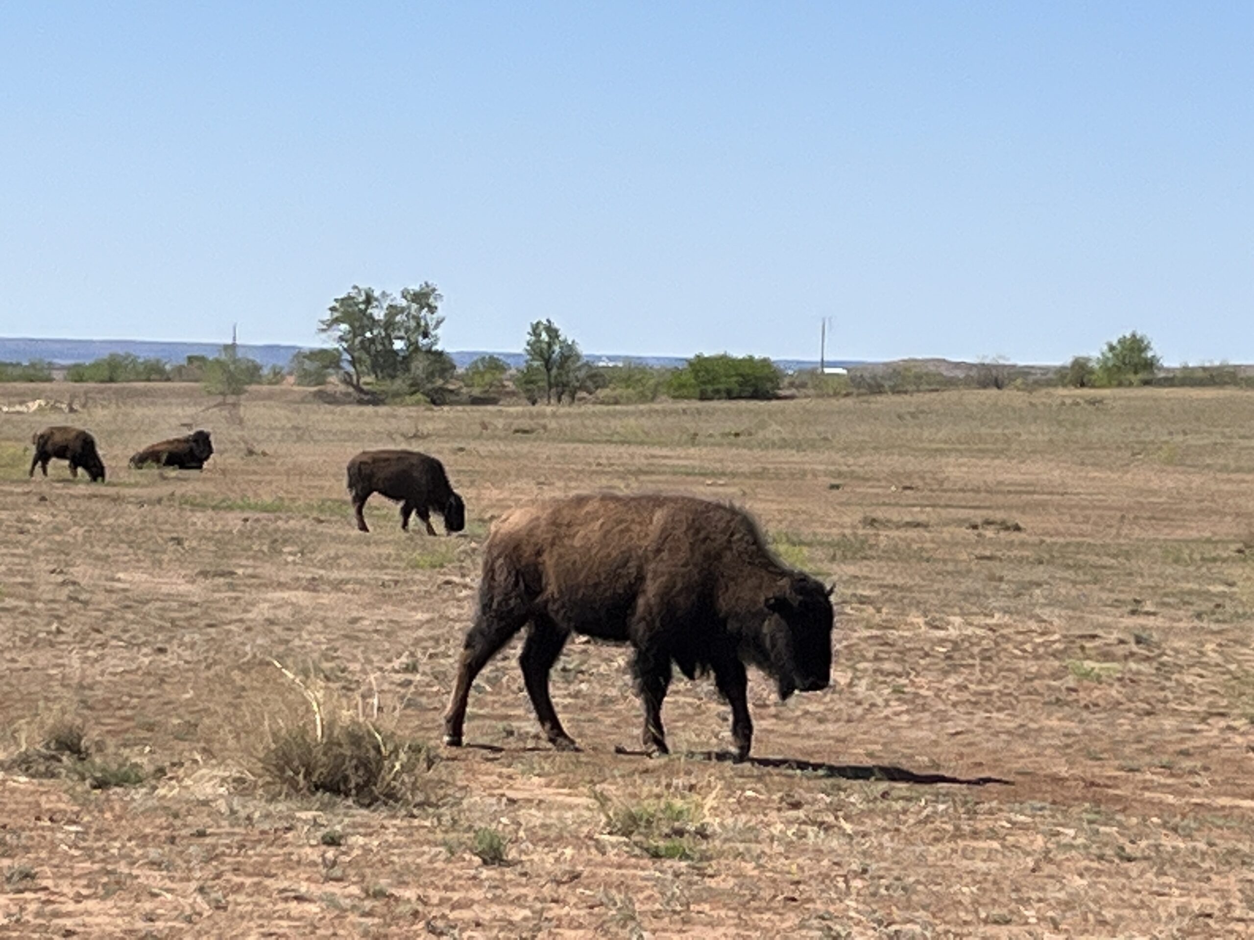
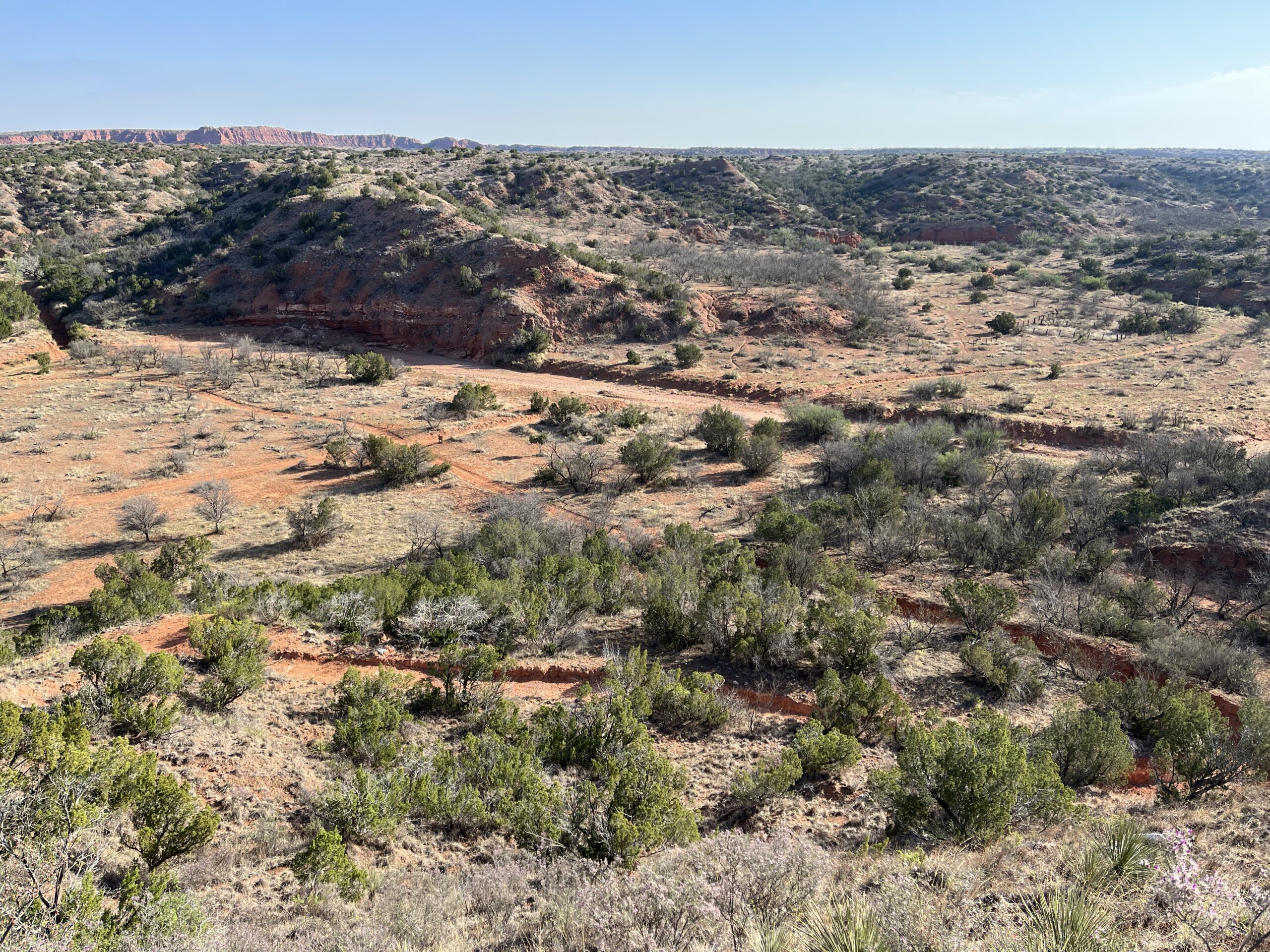
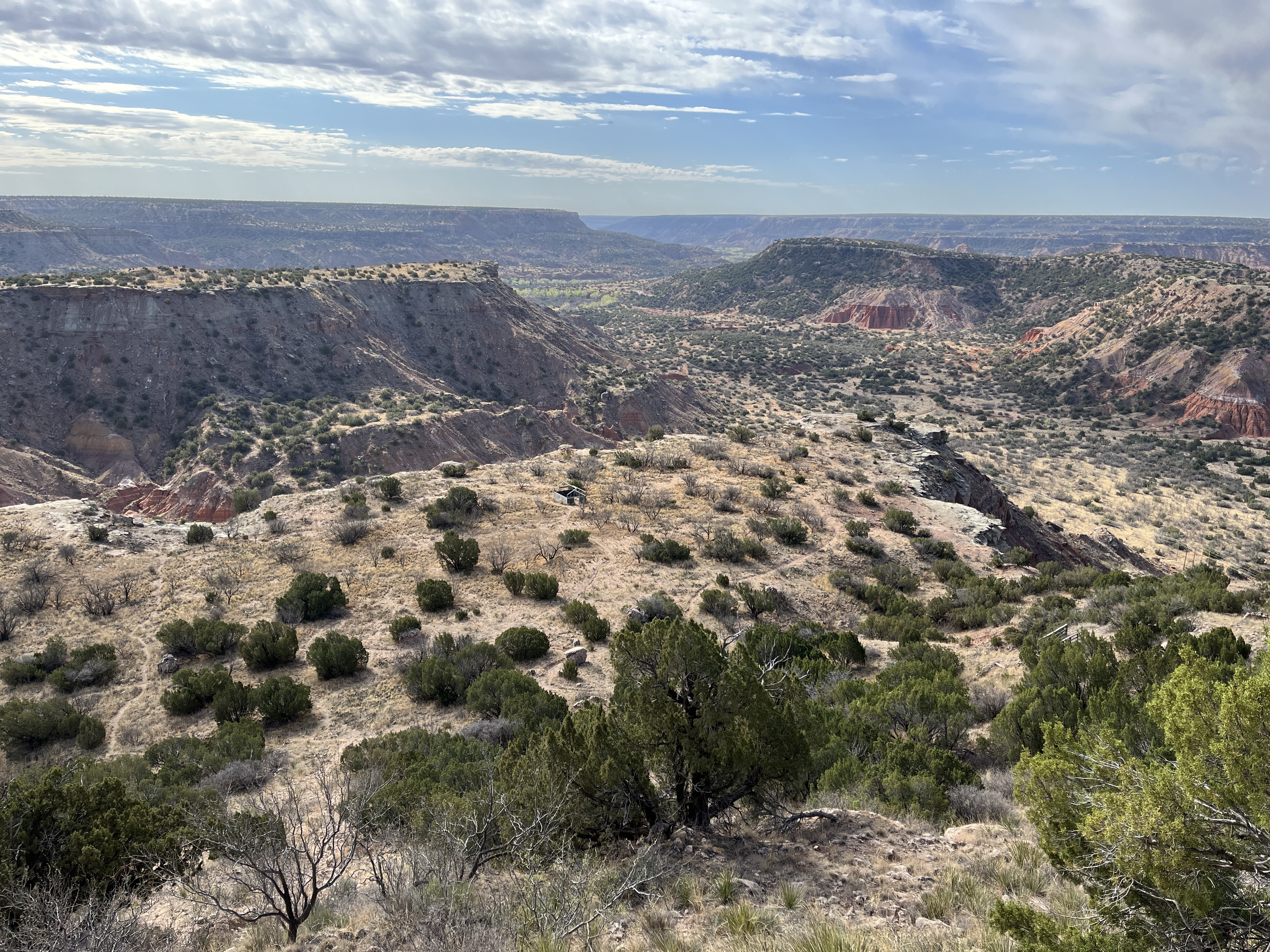
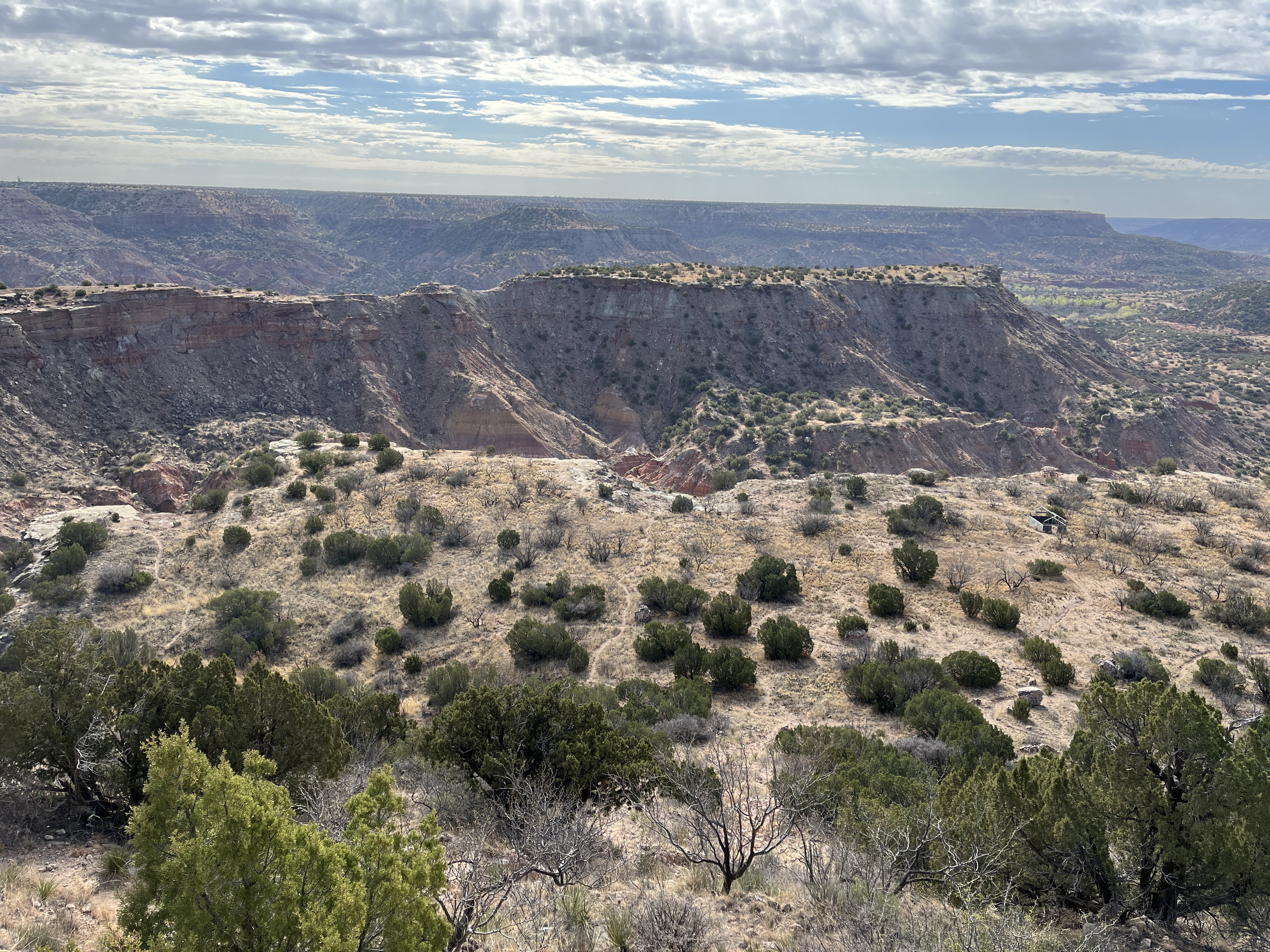
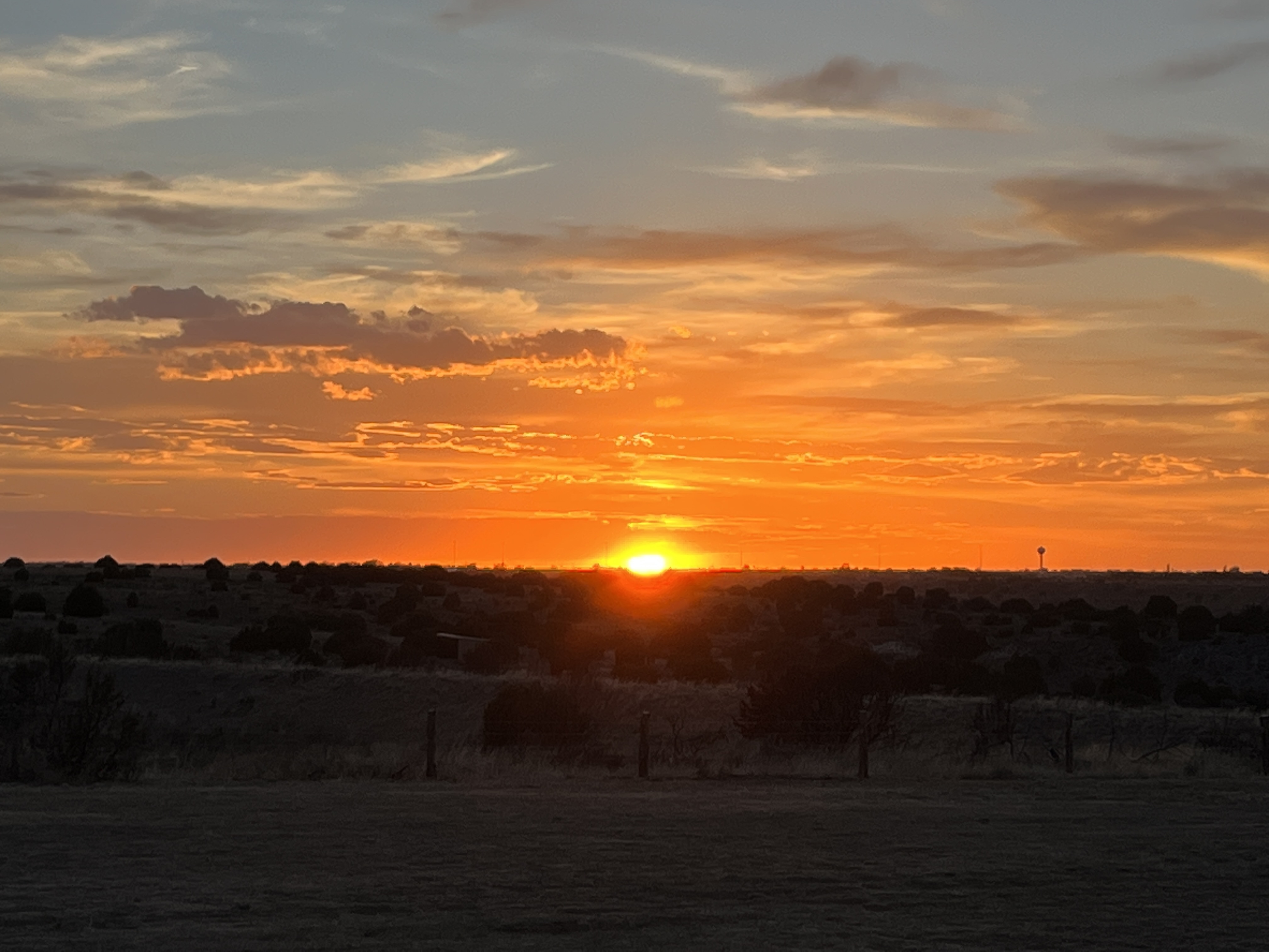
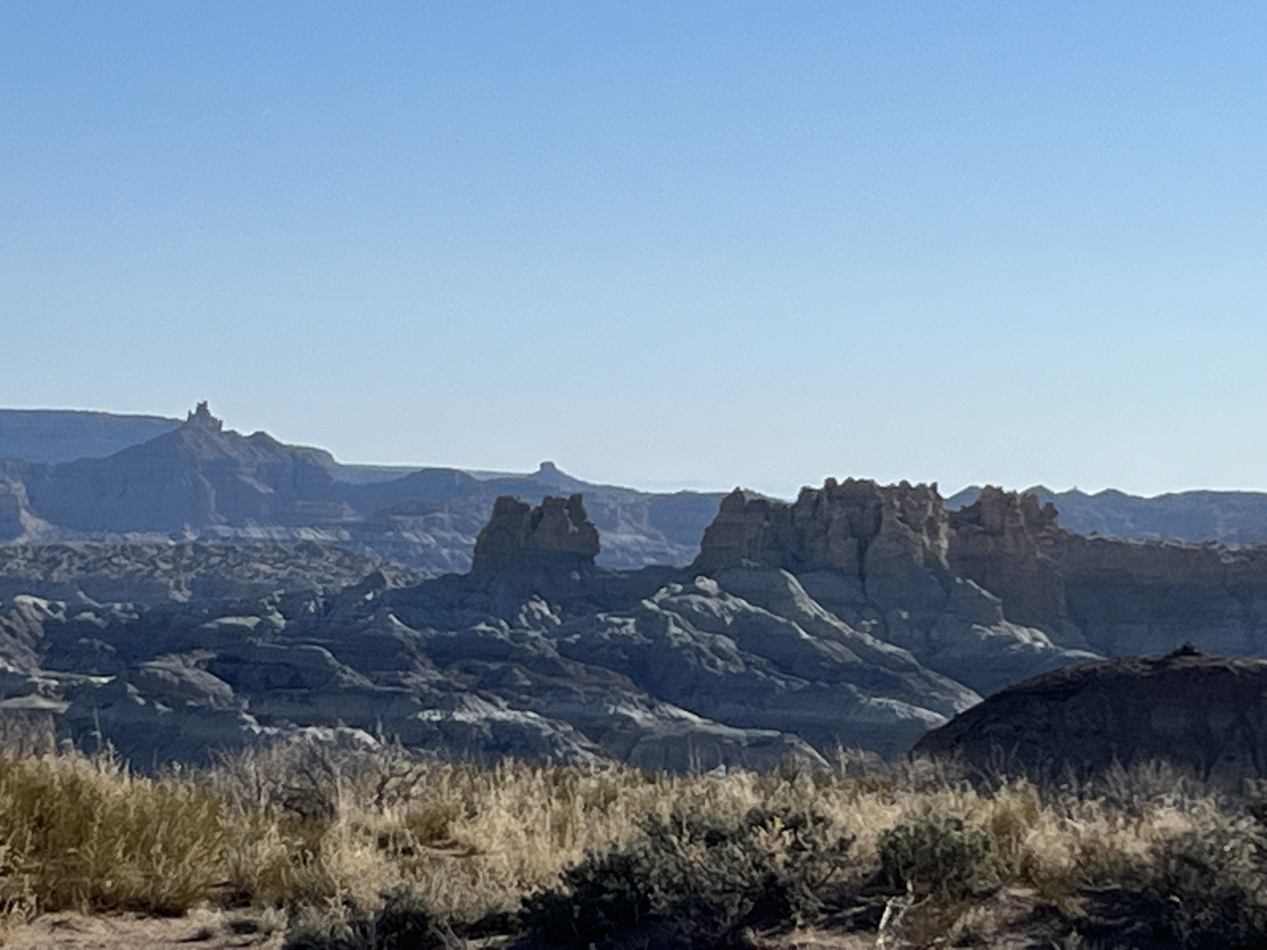
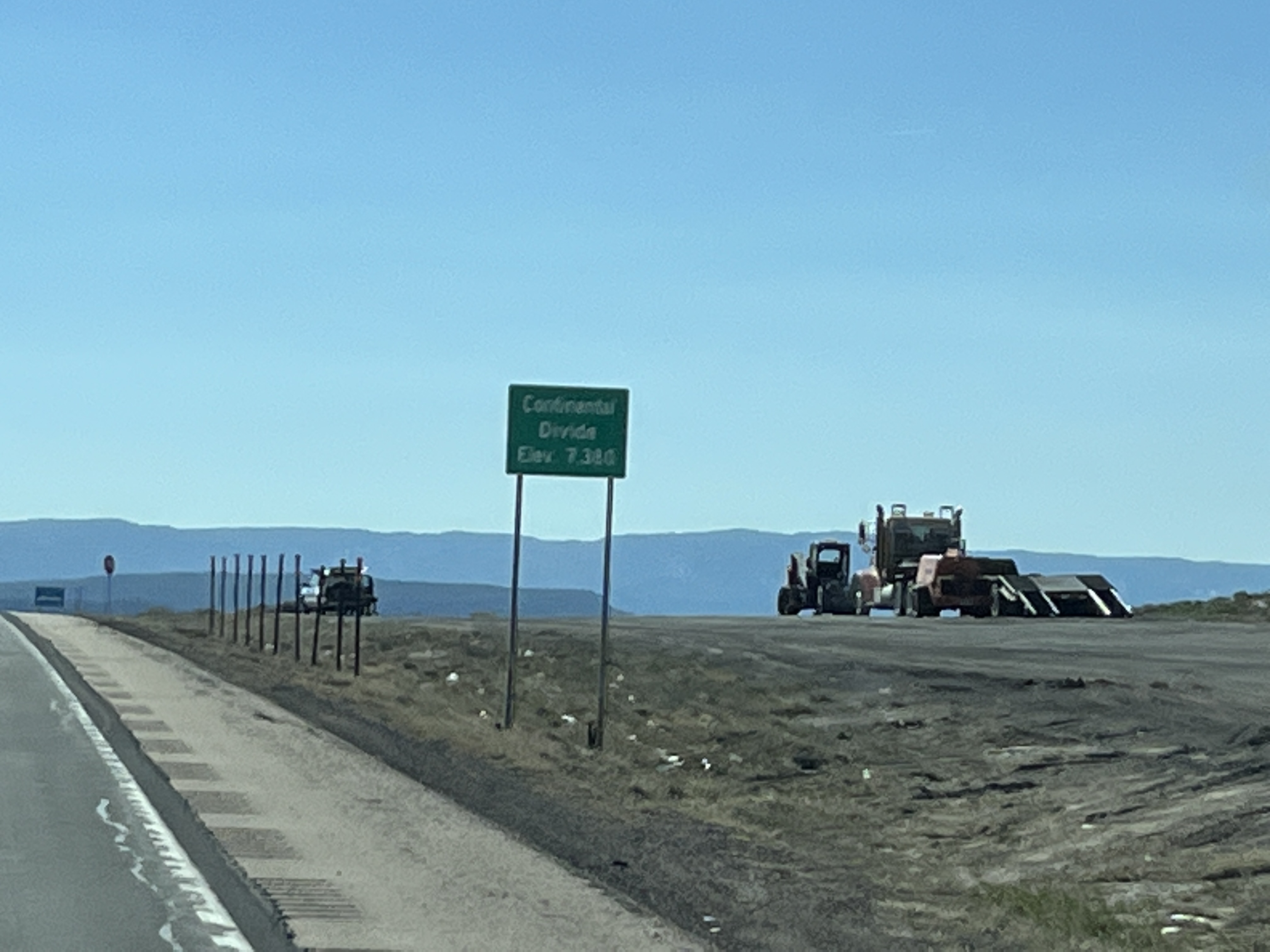
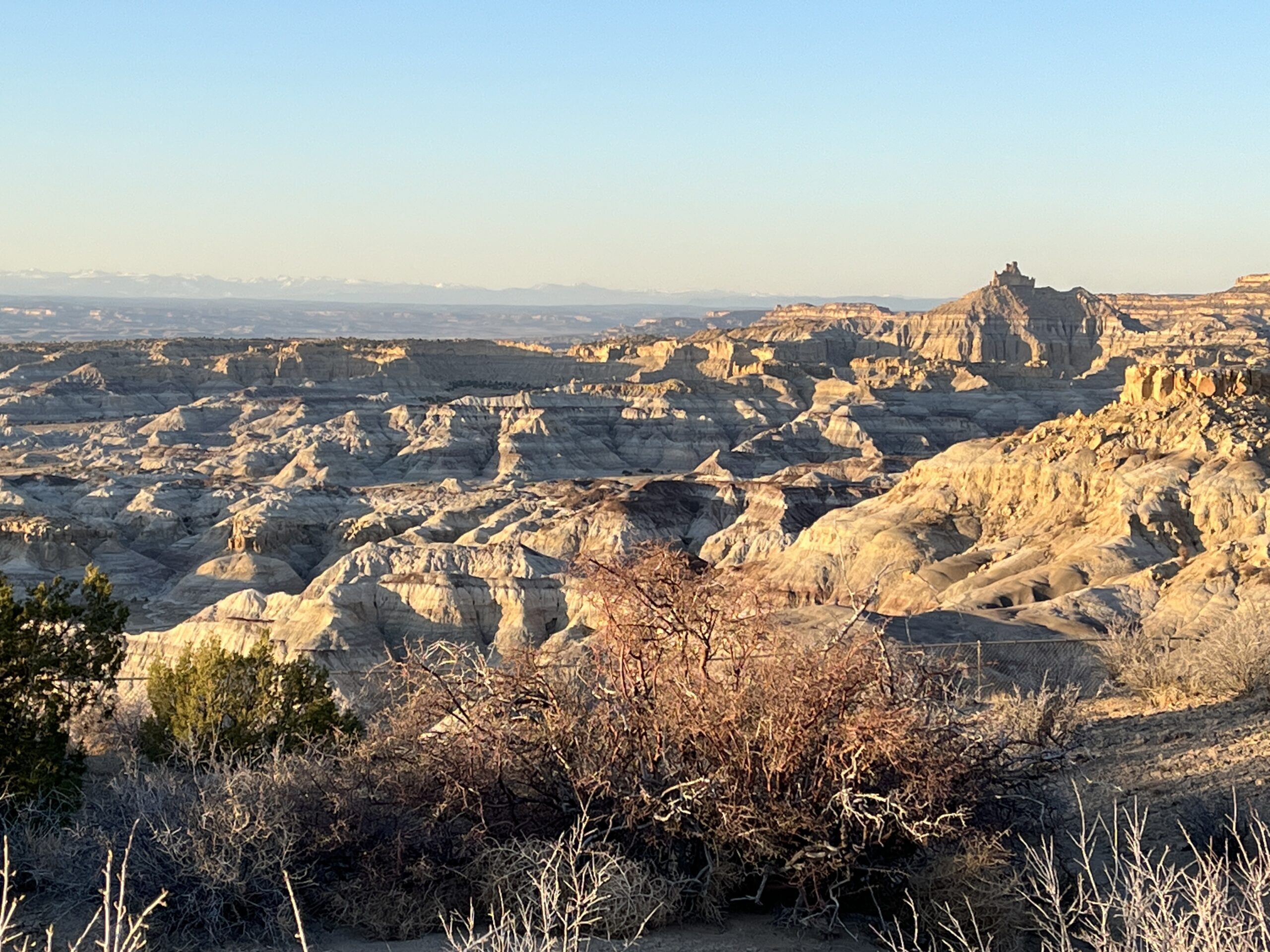
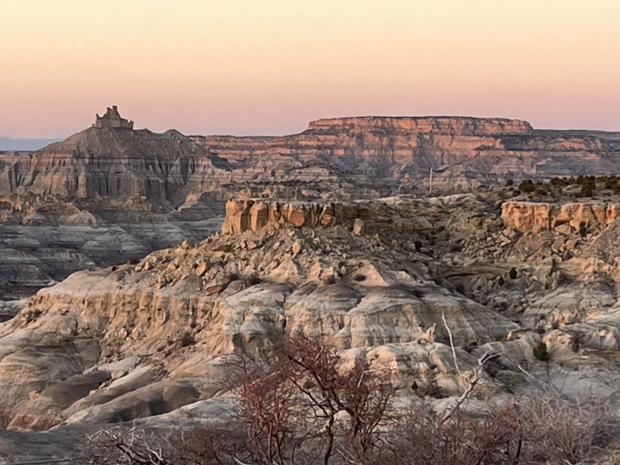
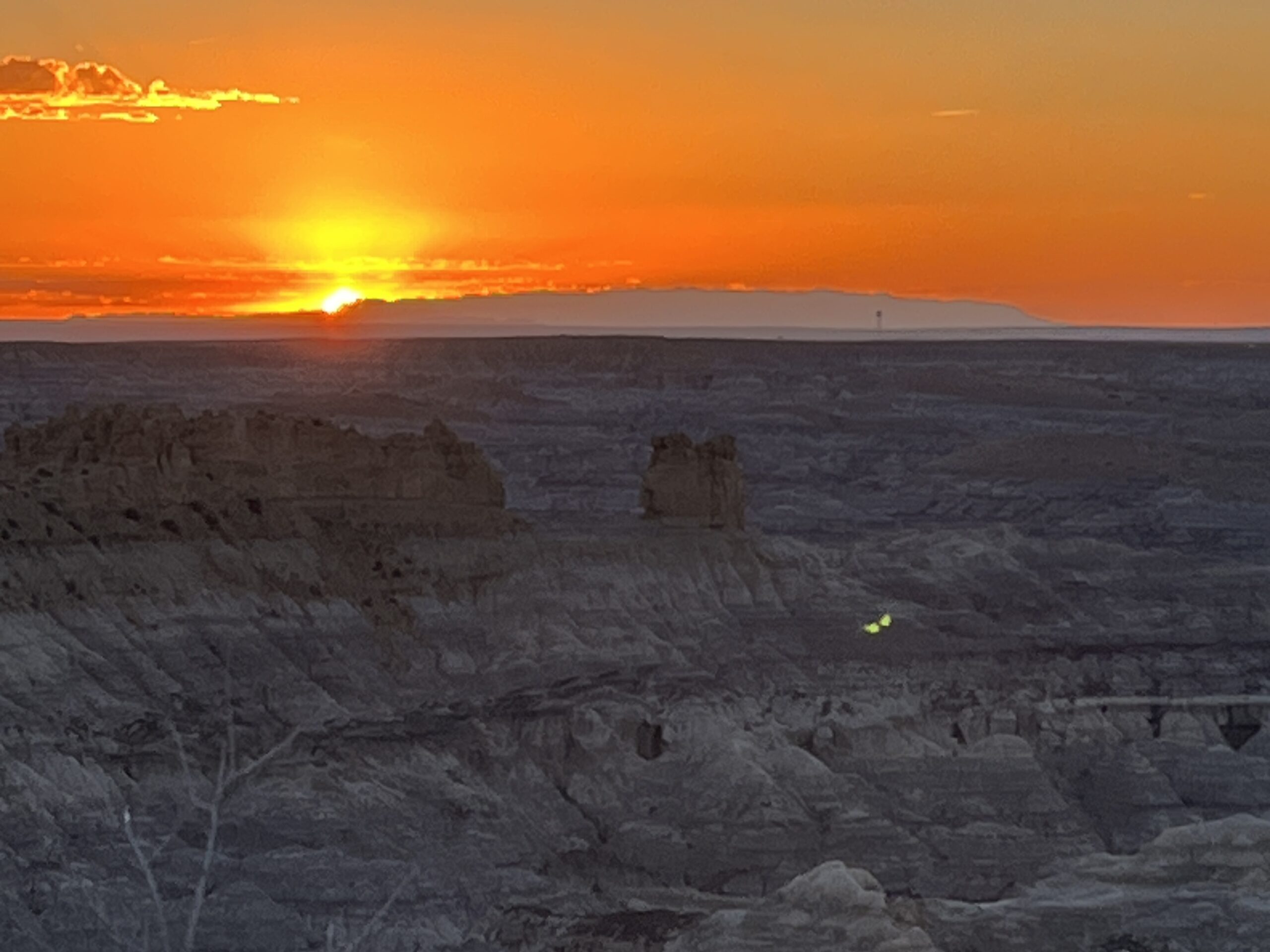
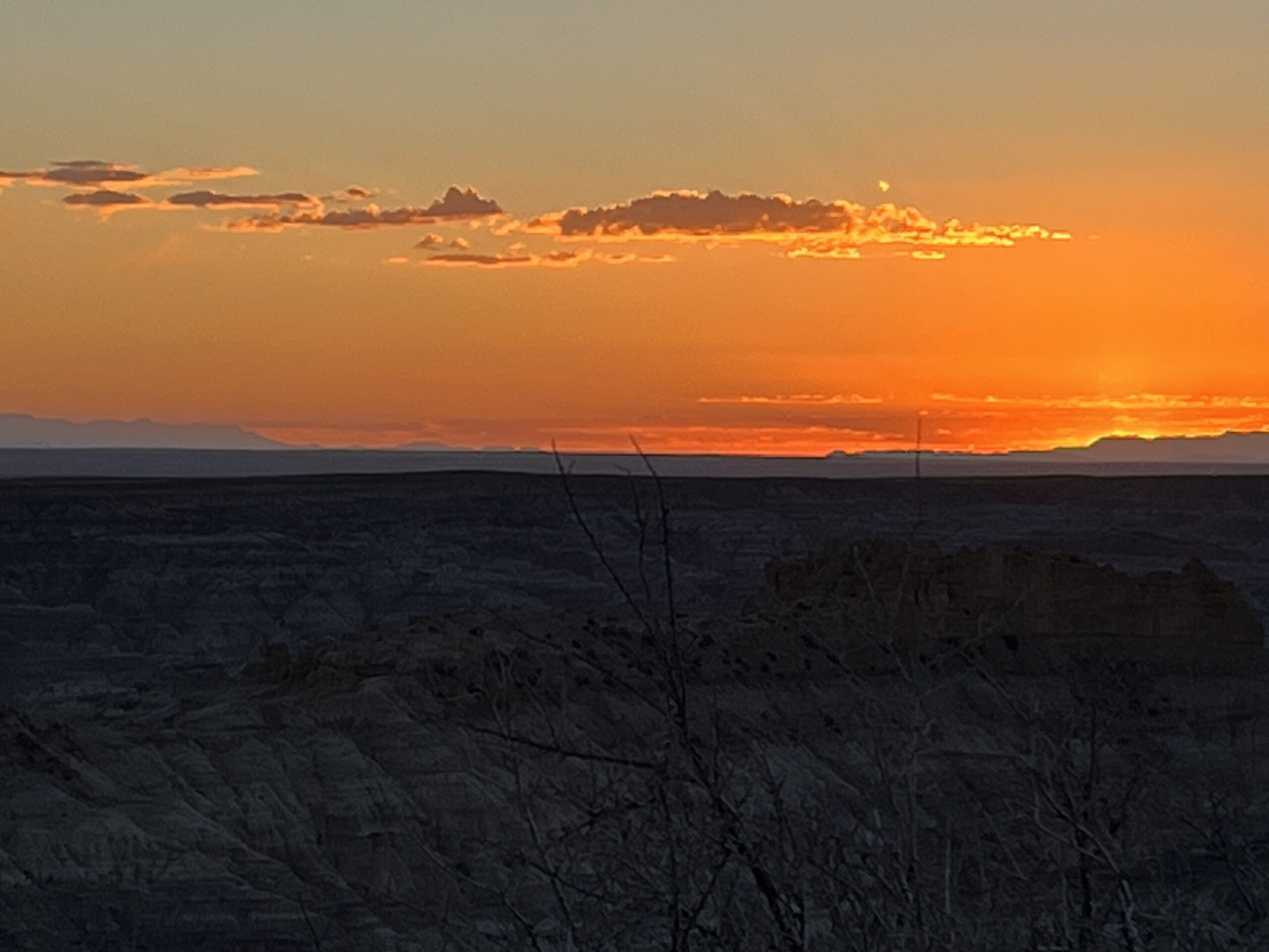
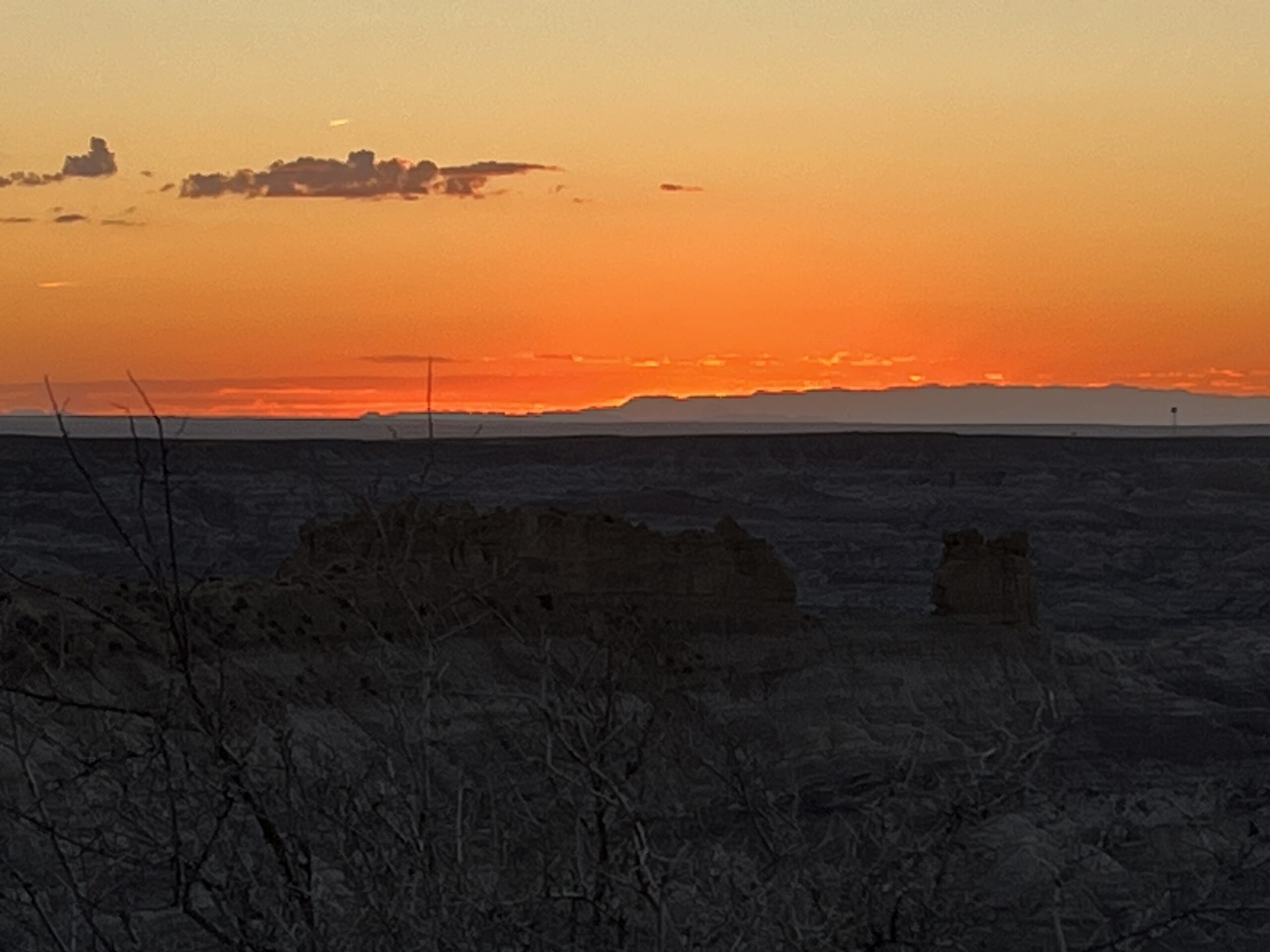
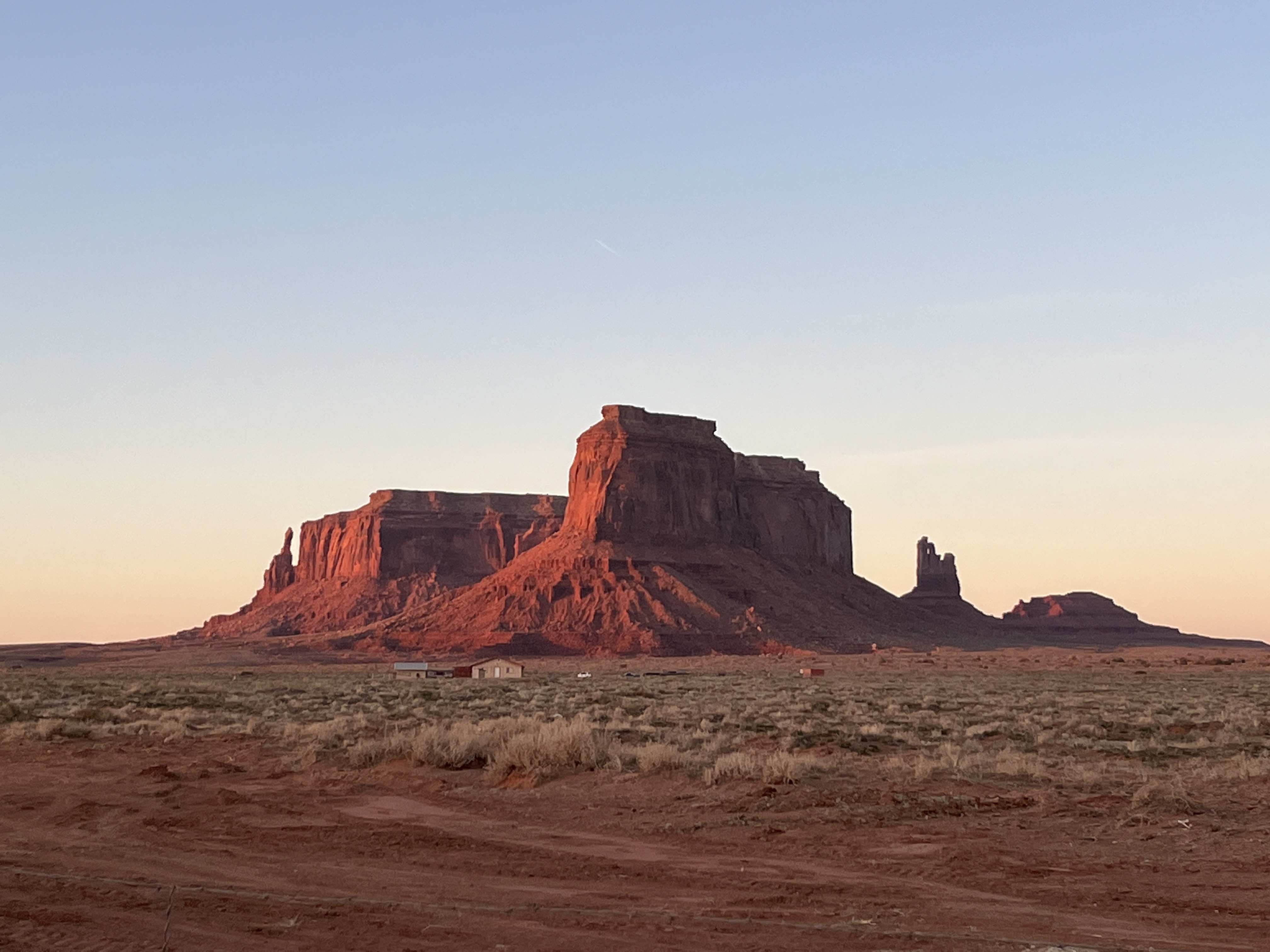
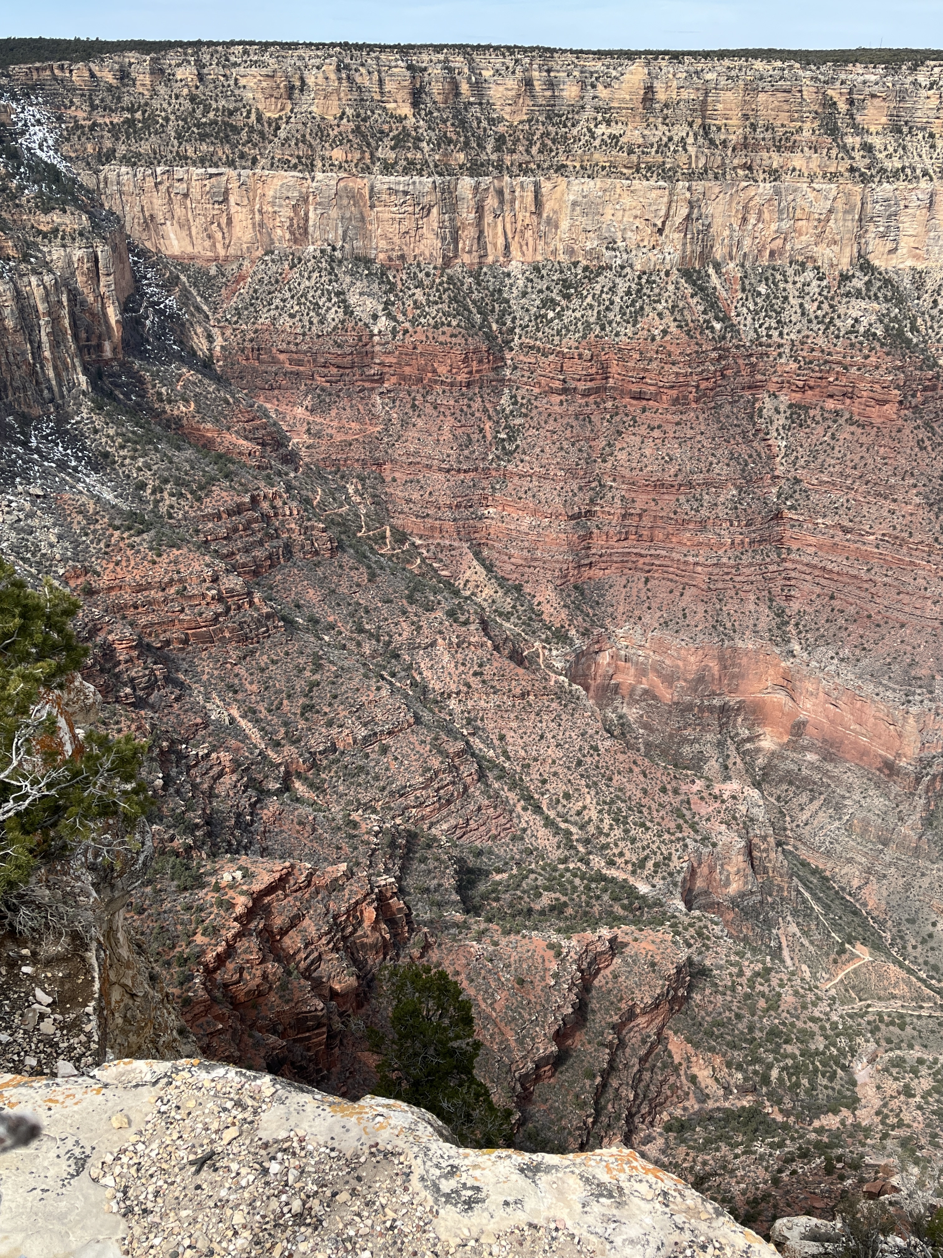
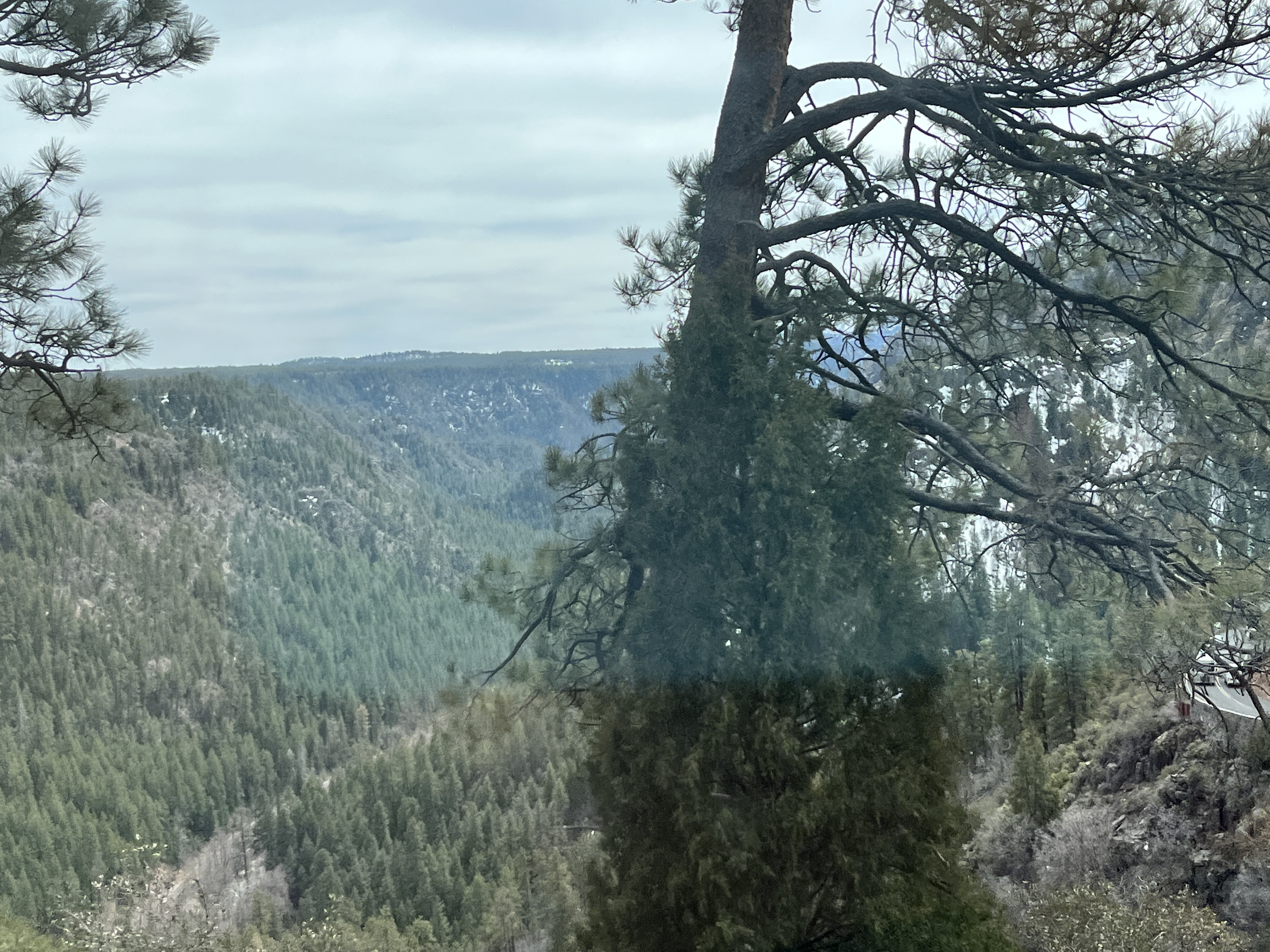
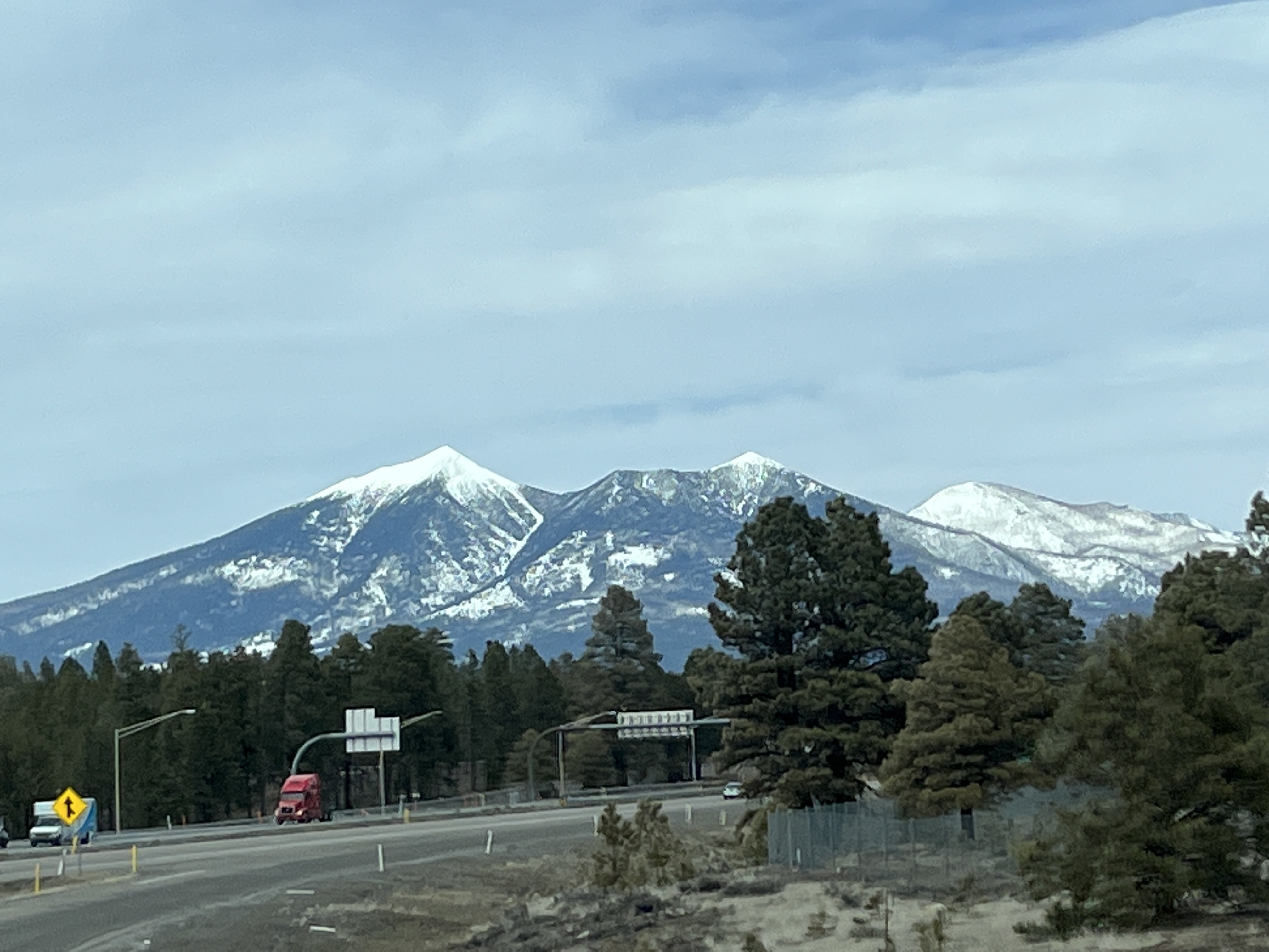
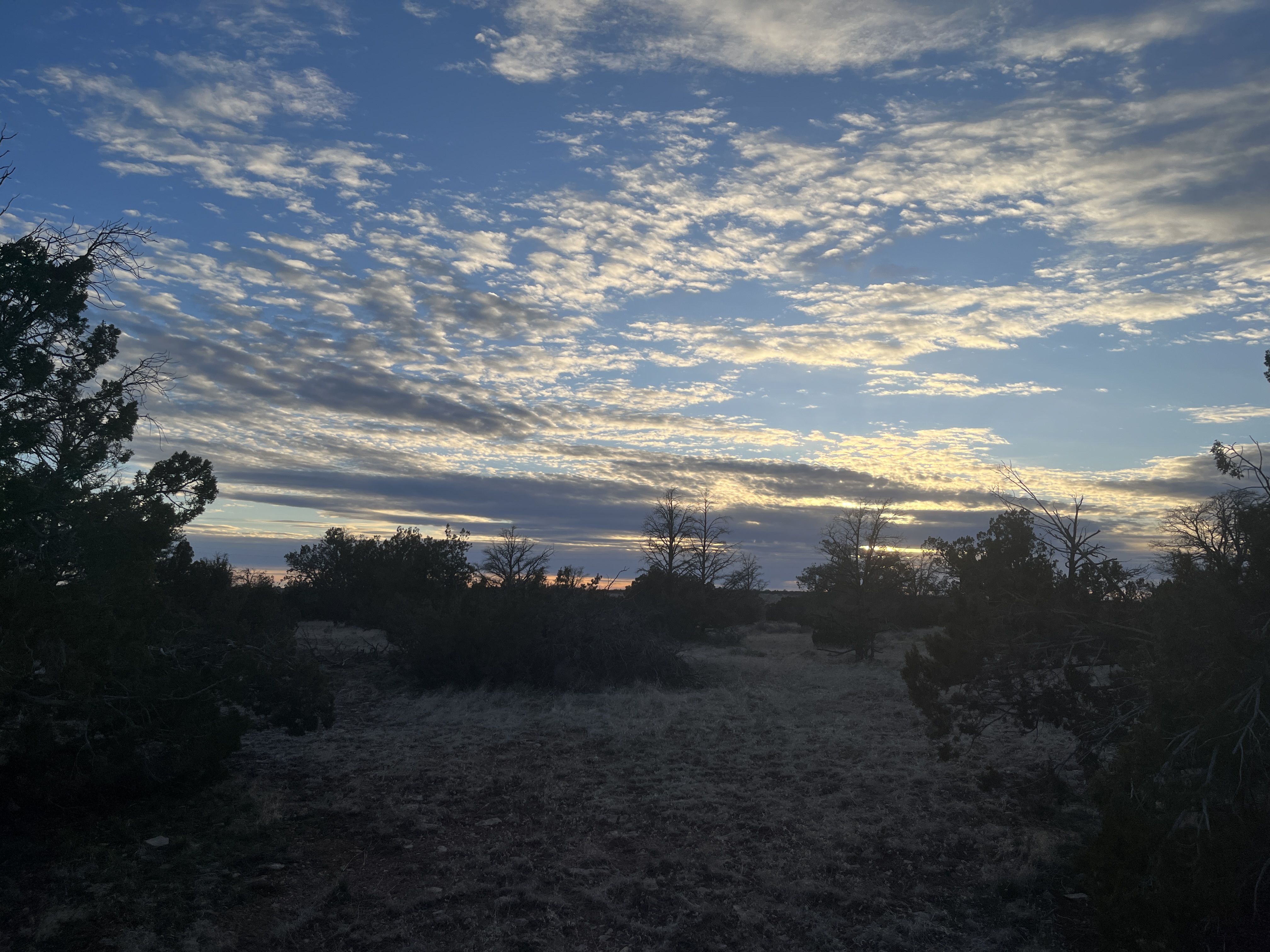
    • BLM camping: Angel Peak picnic area, Bloomfield, NM. Great views.
    • Private campground: Lazy Days RV Resort (KOA), Tucson, AZ. Free citrus fruit for the picking along with swimming pools and other resort activities.
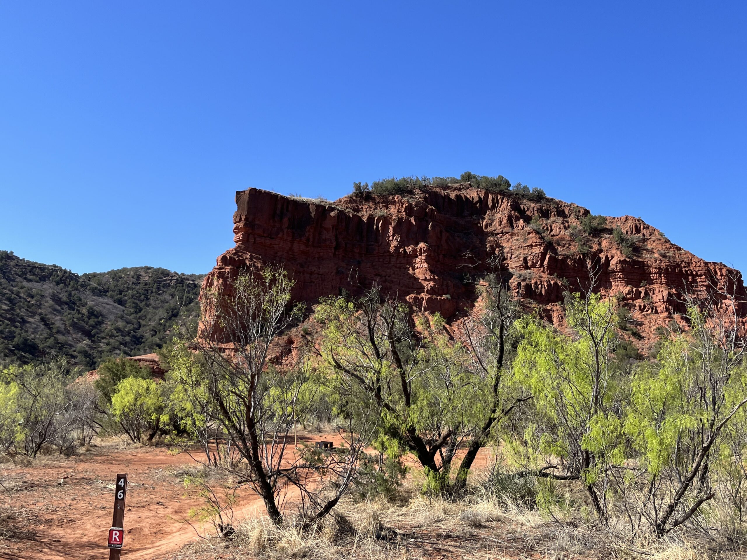
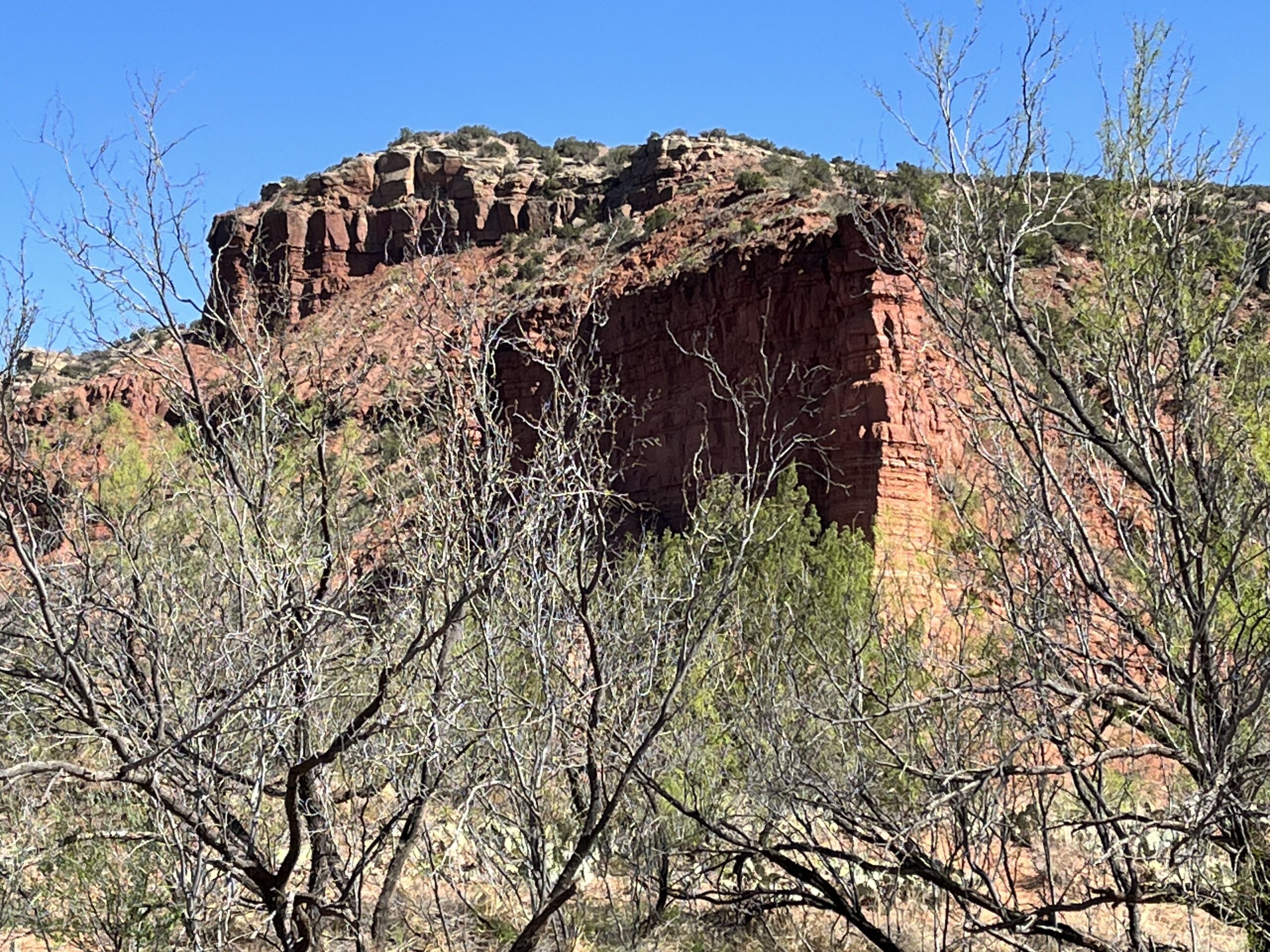
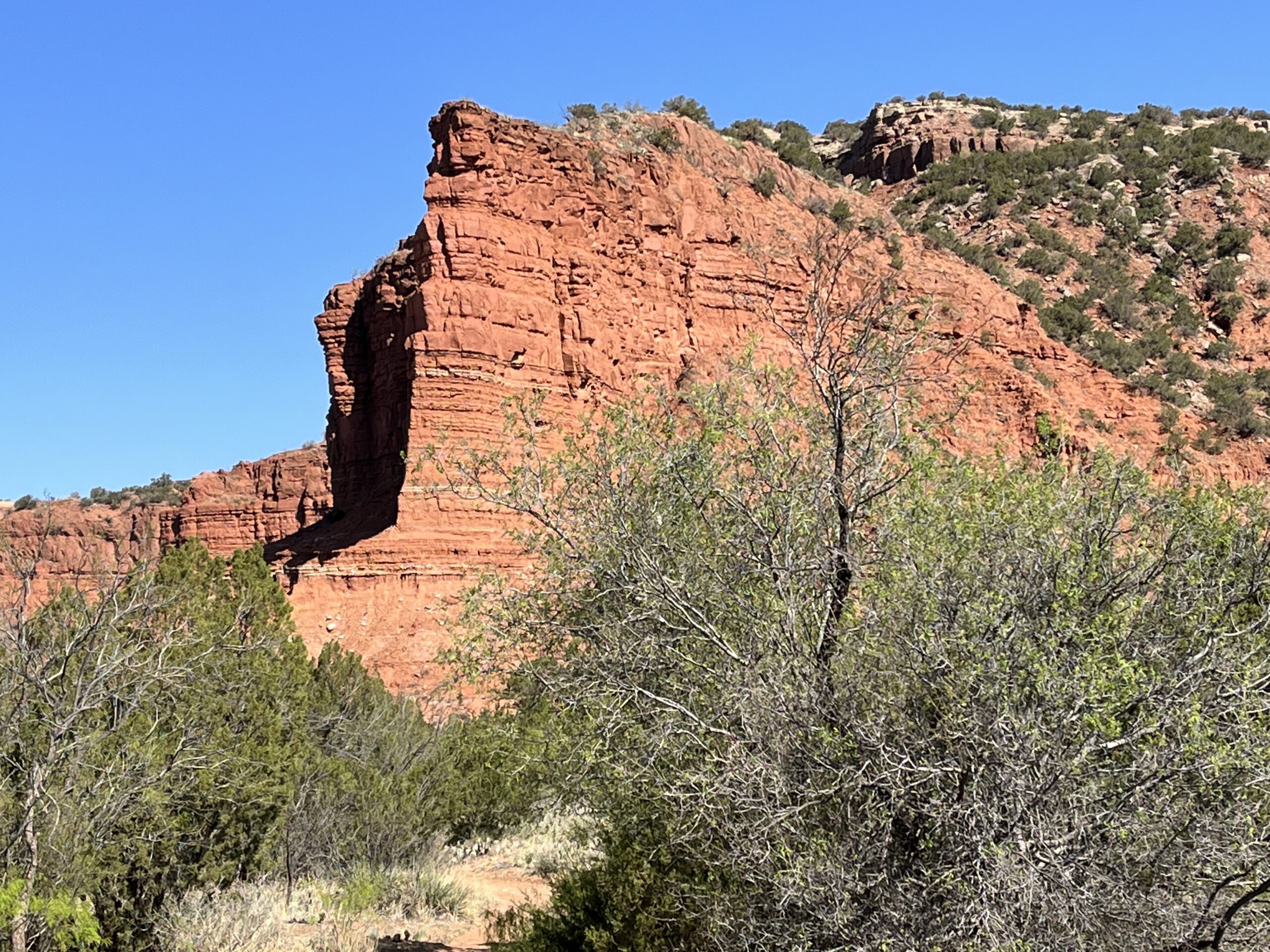
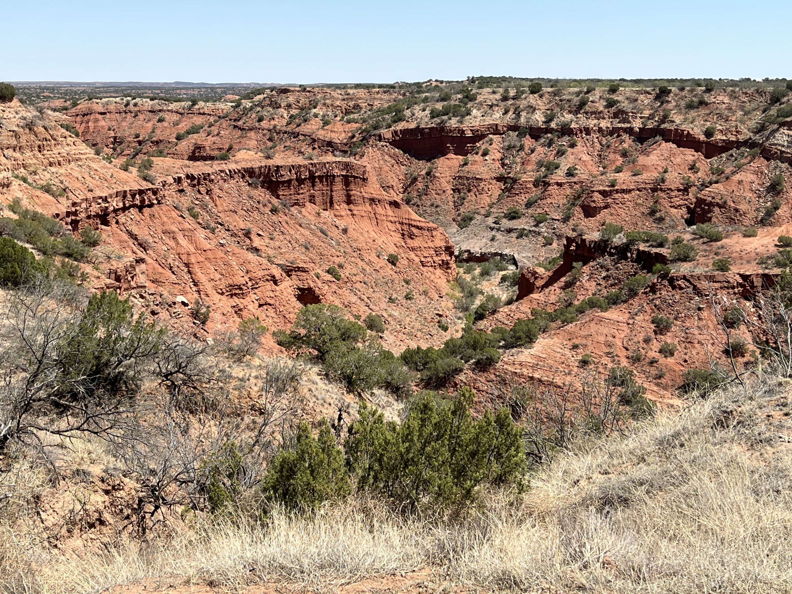
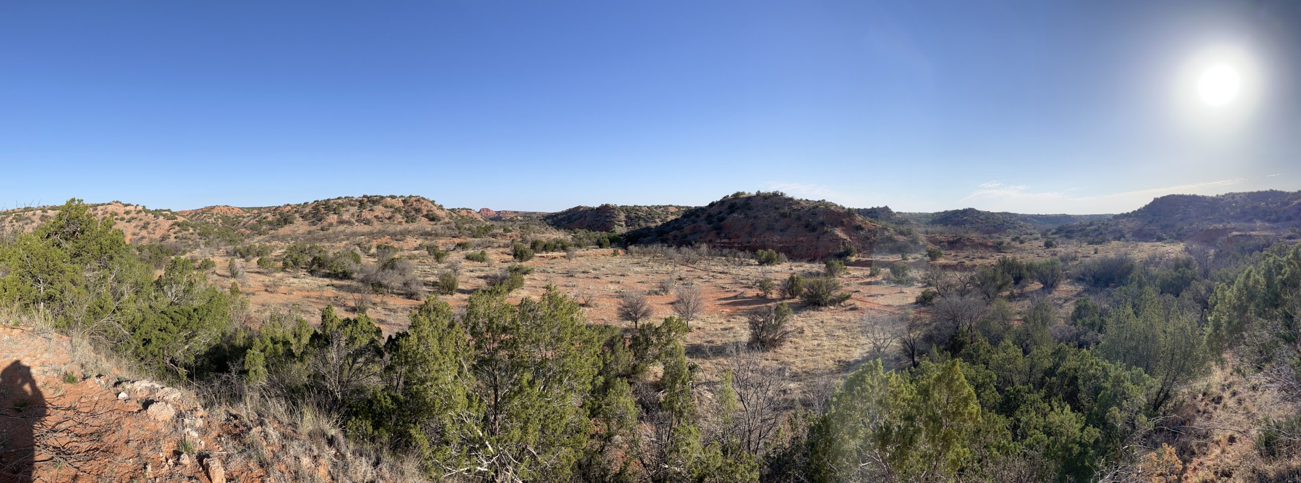
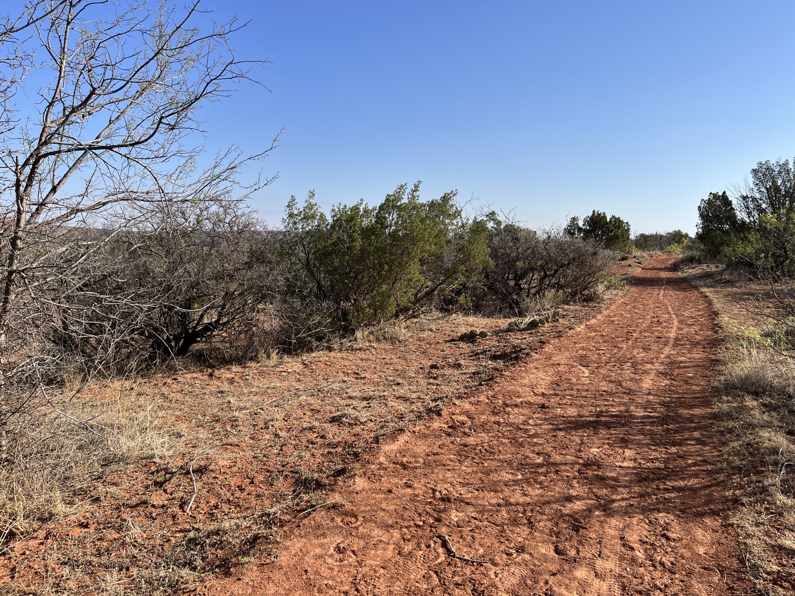
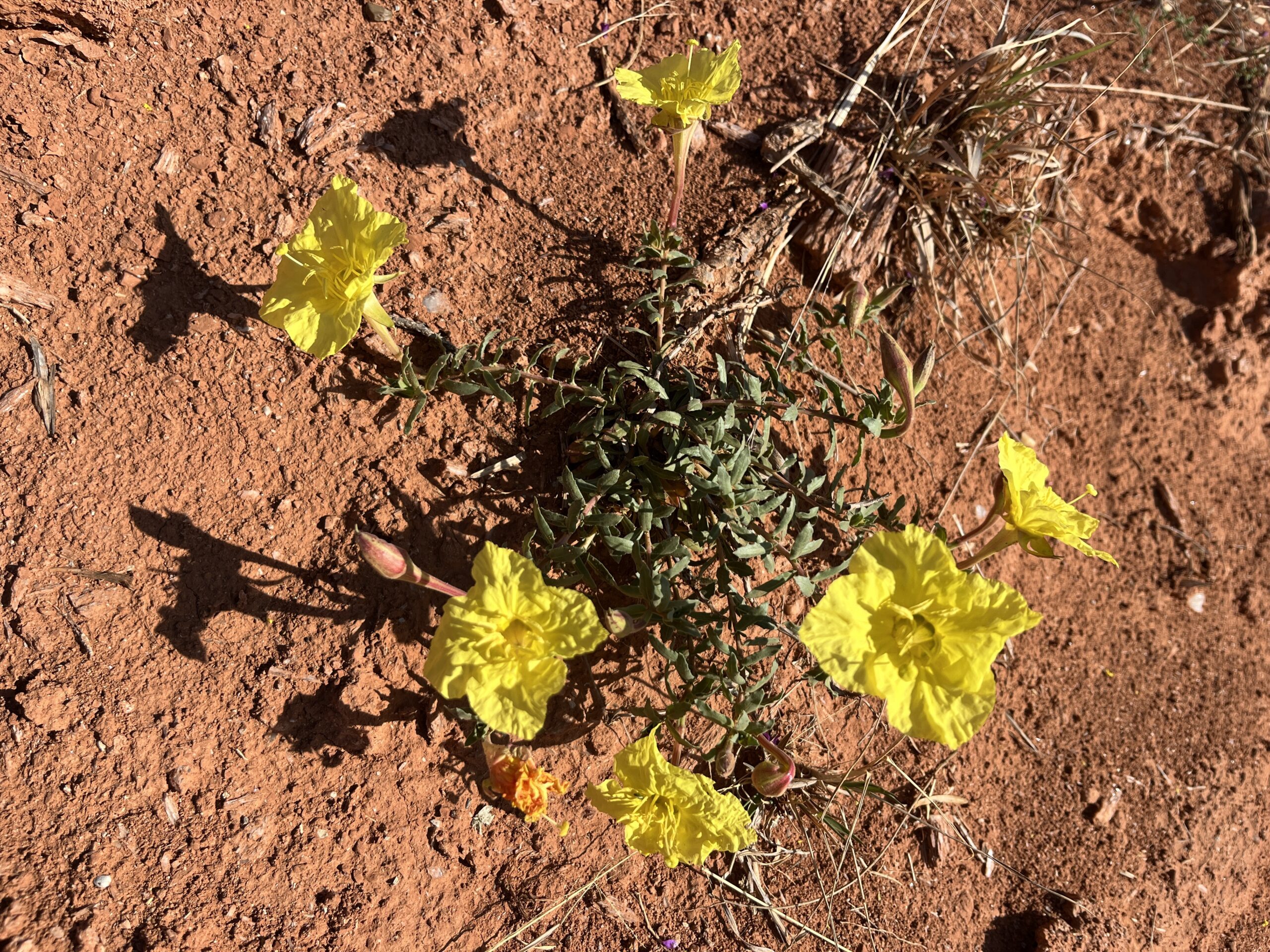
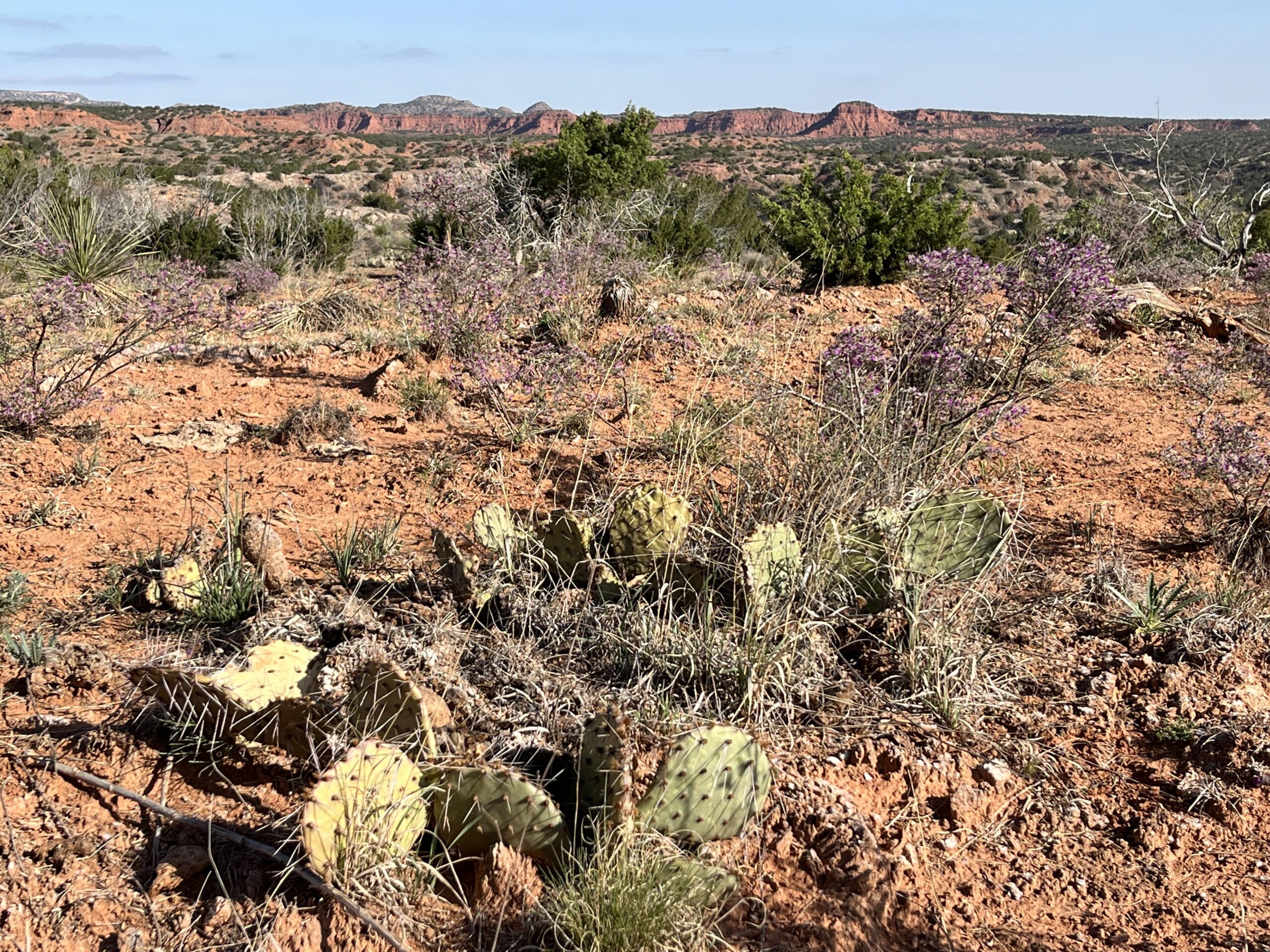
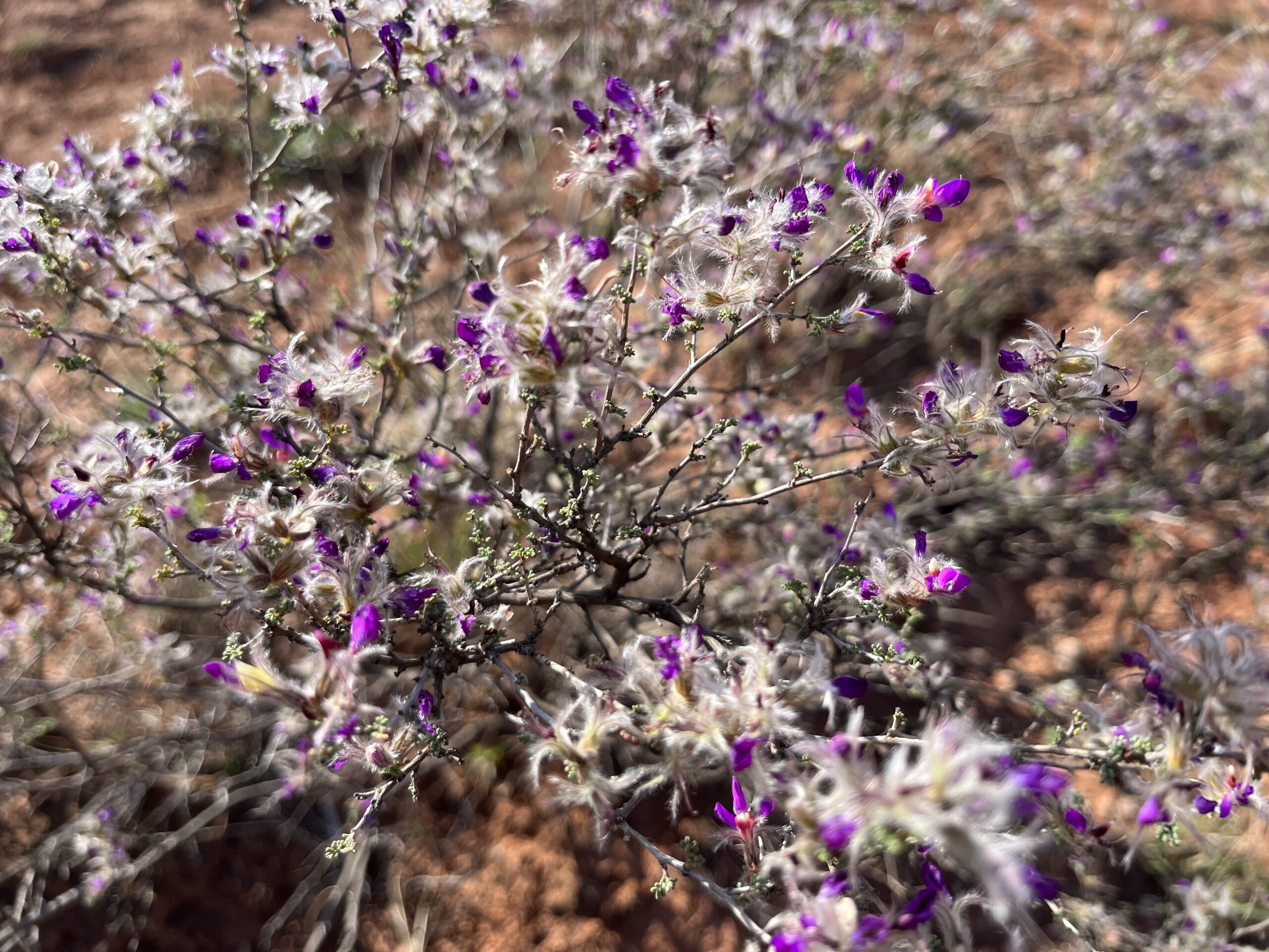
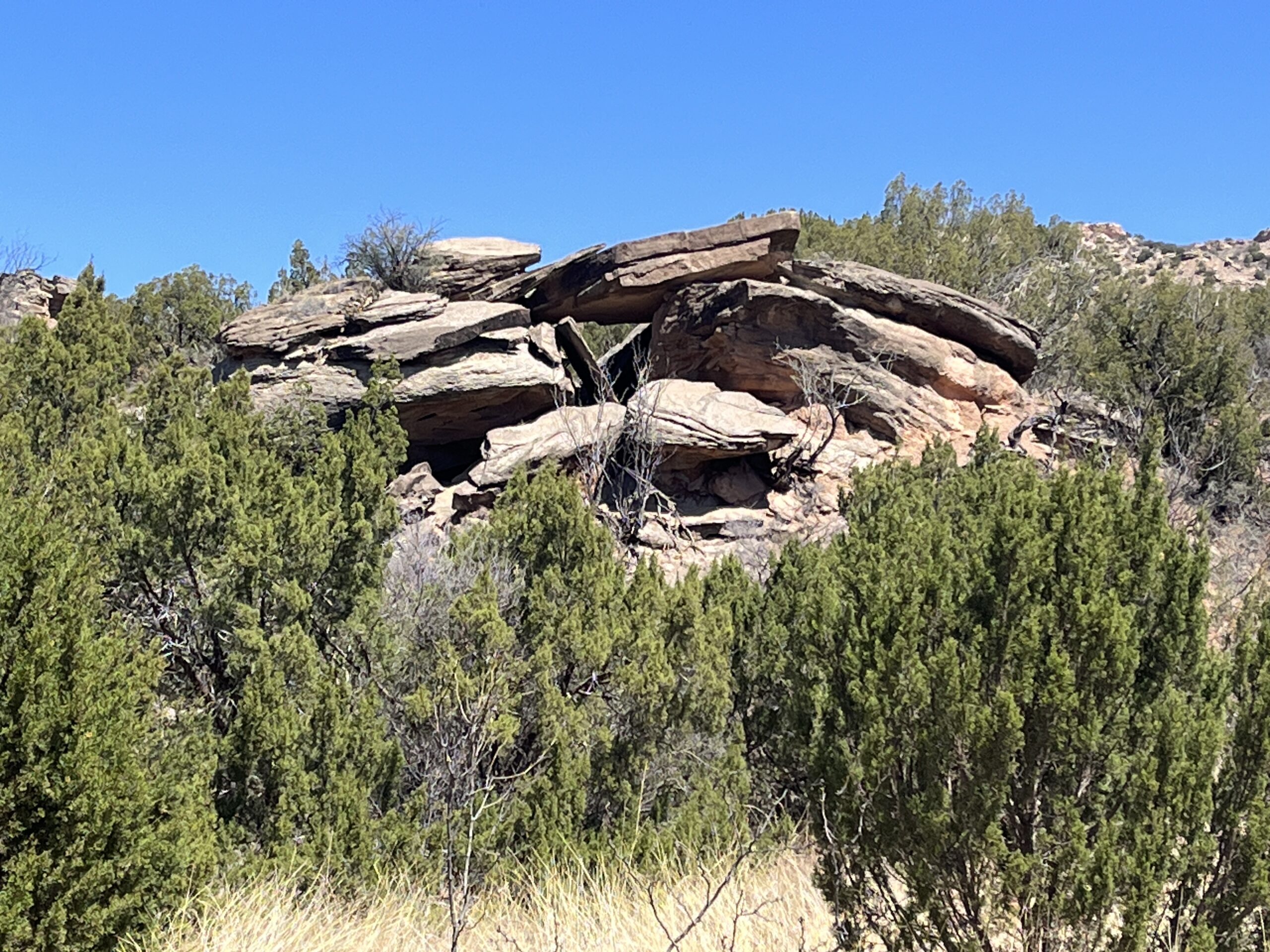
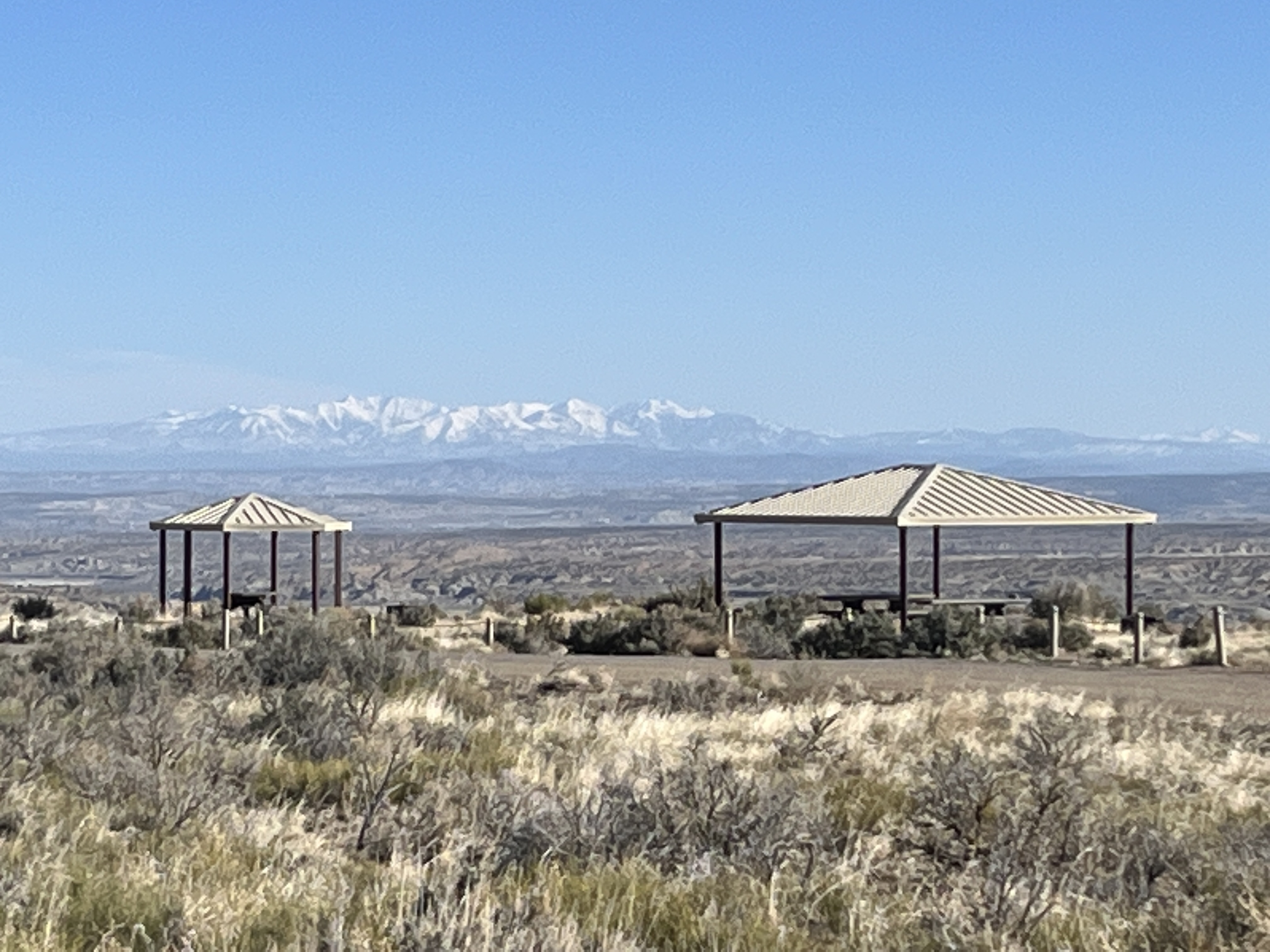
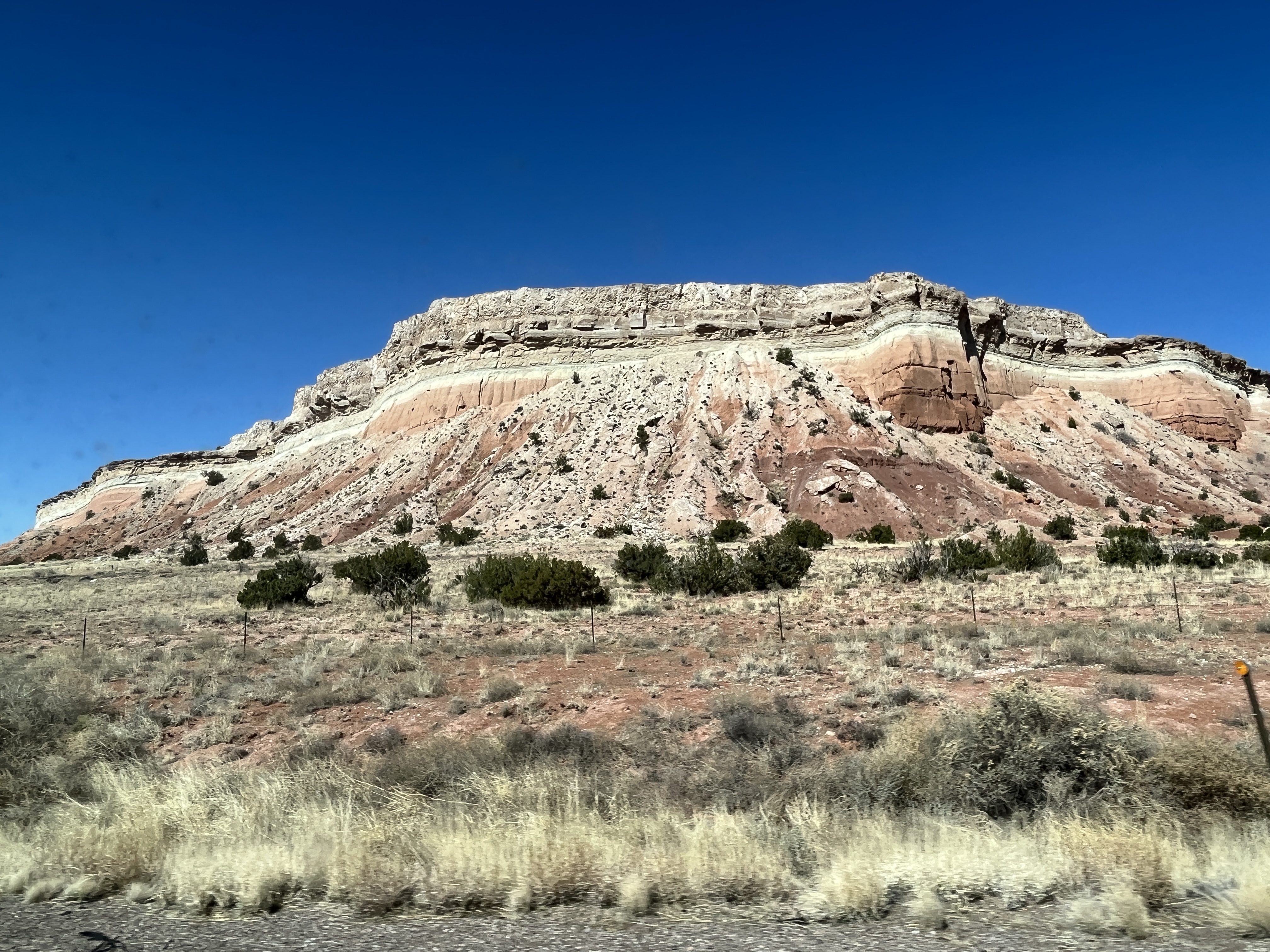
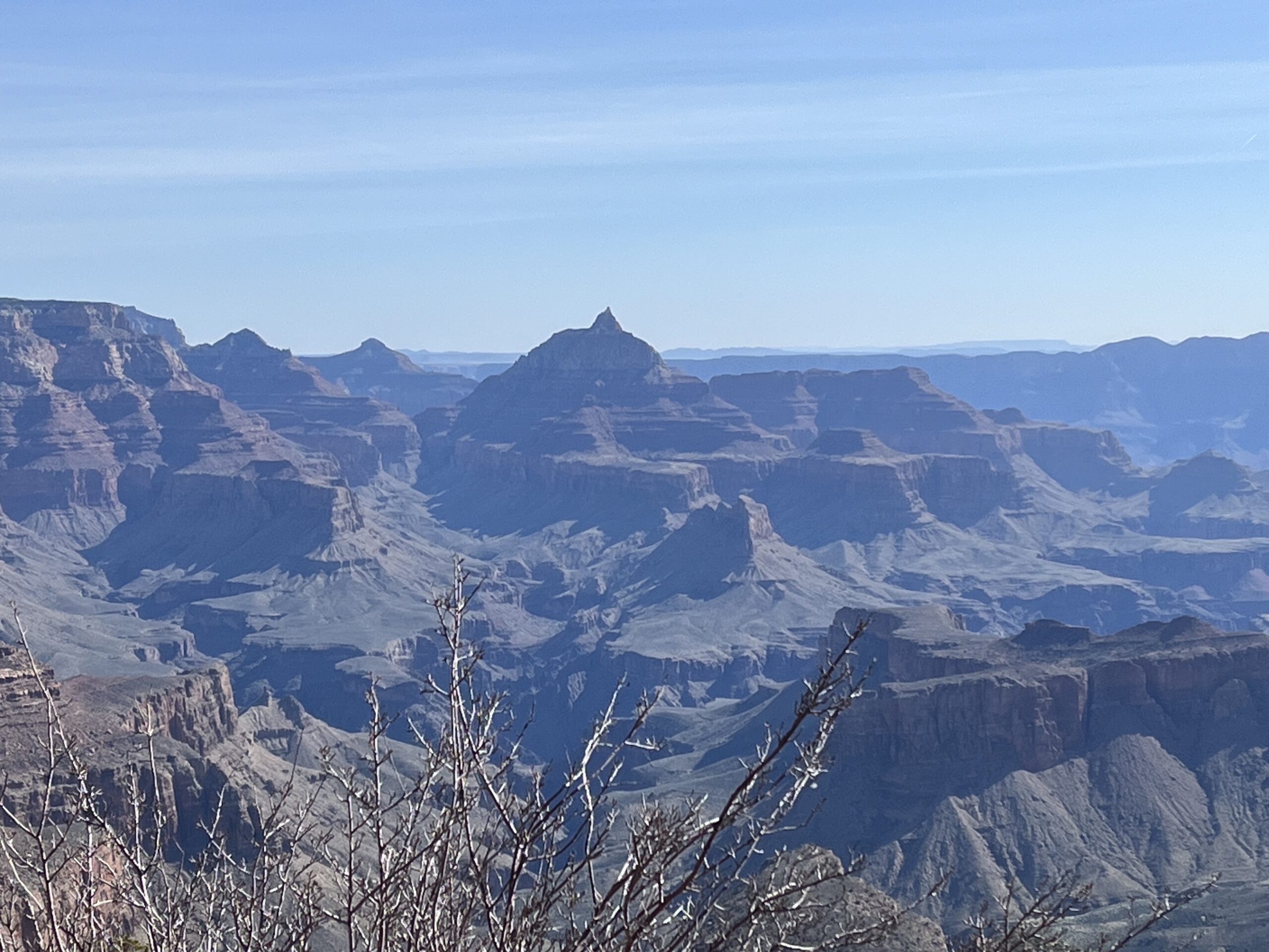
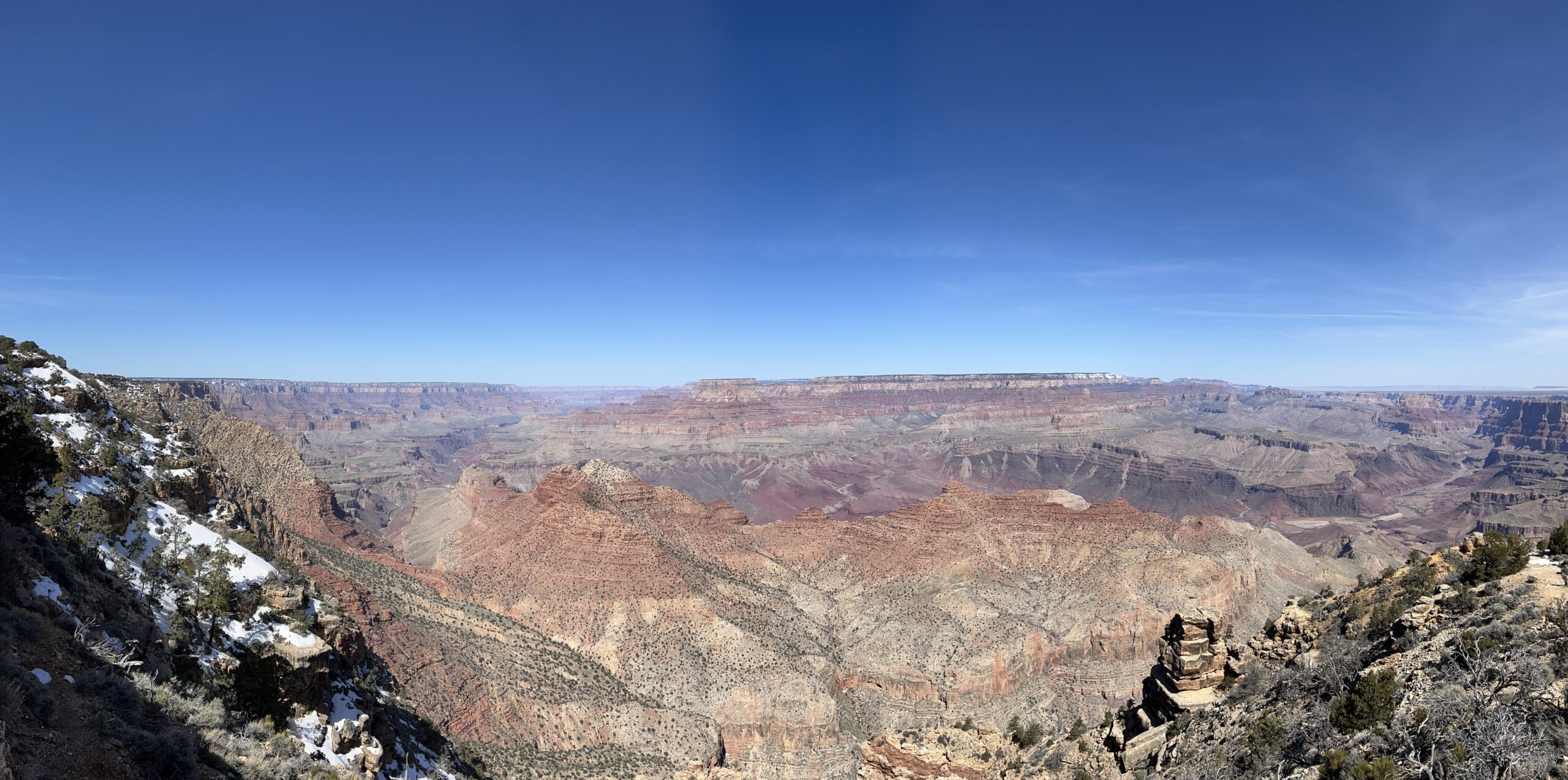
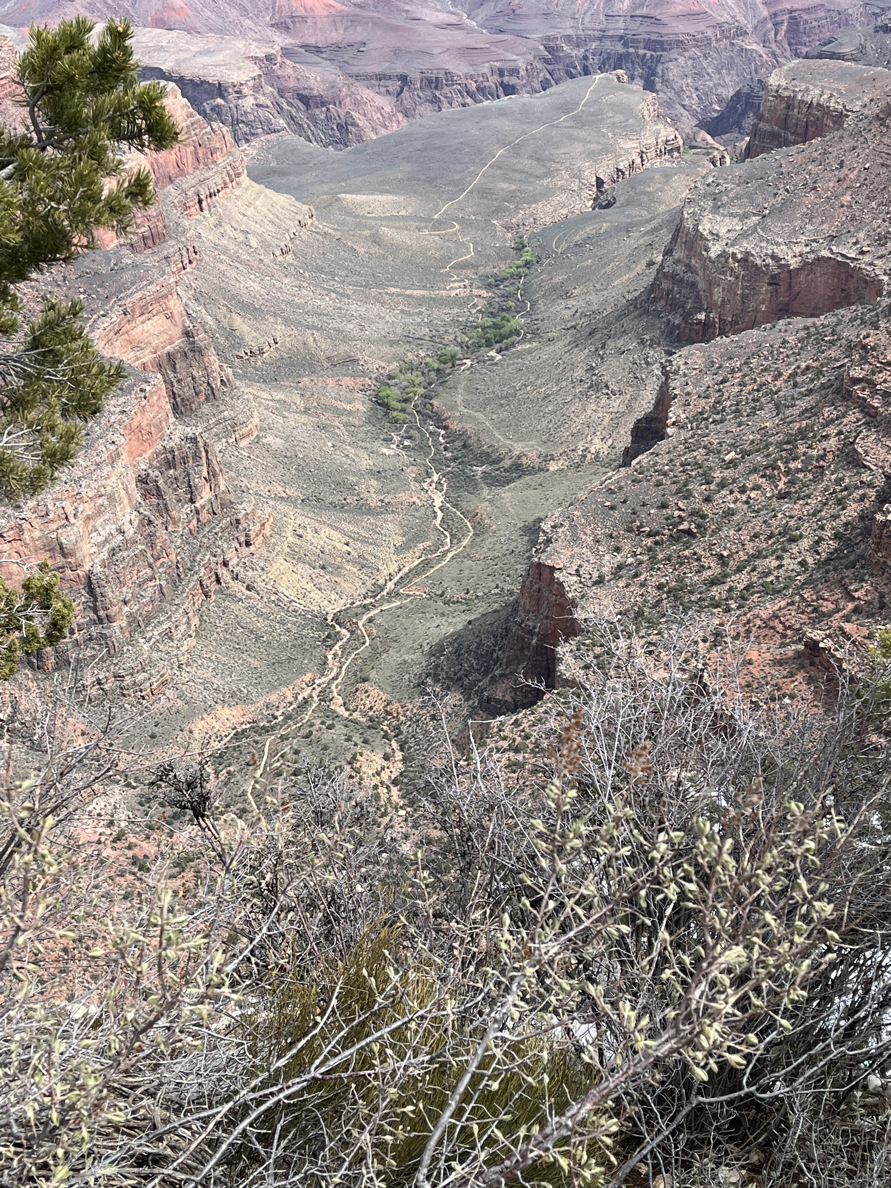
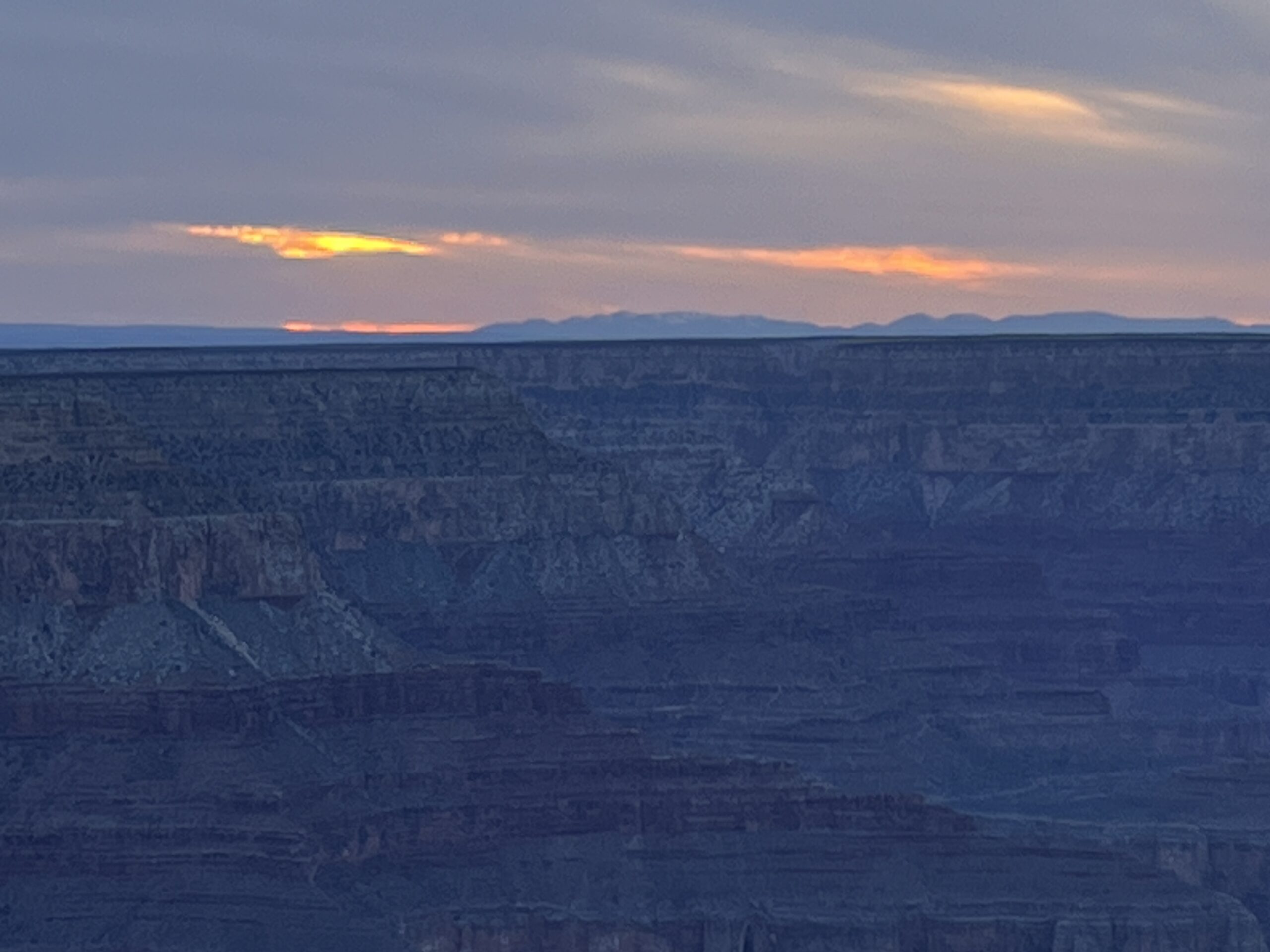
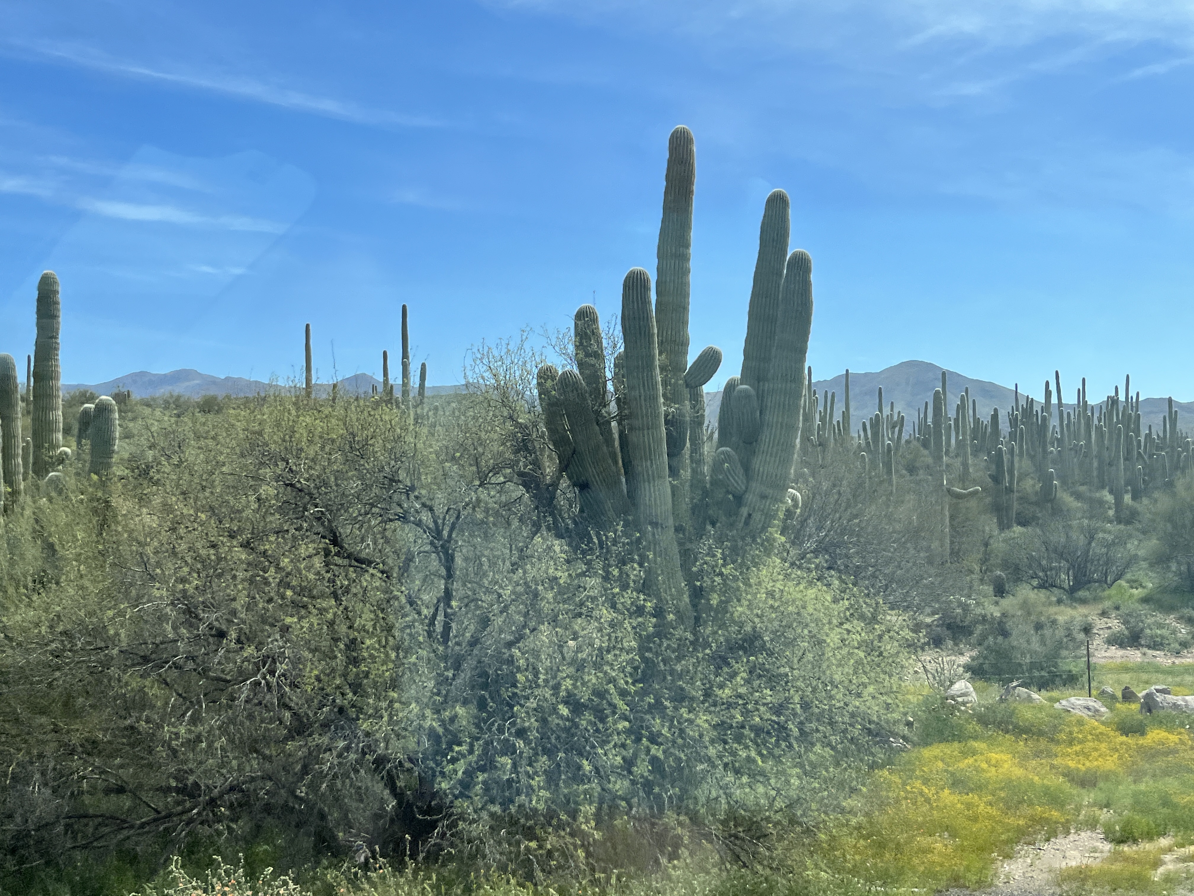
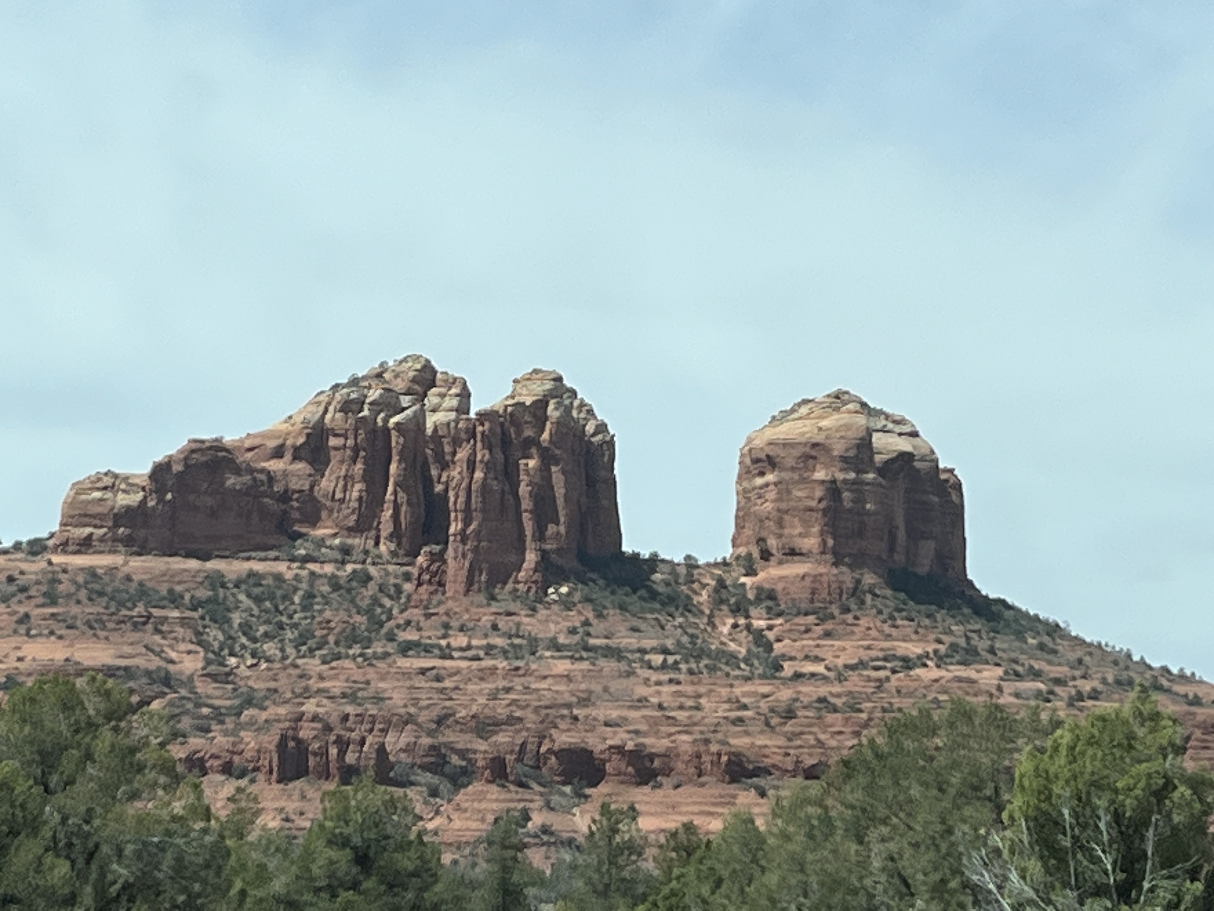
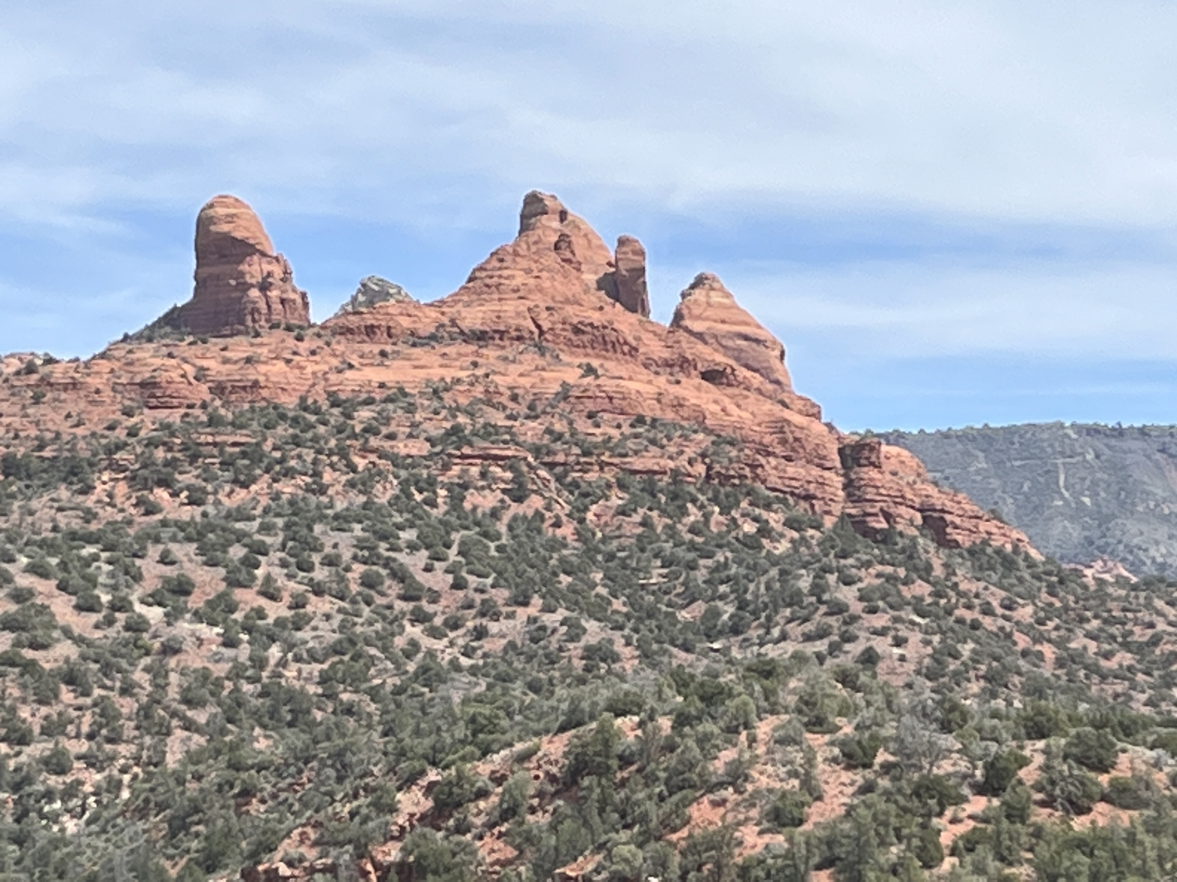
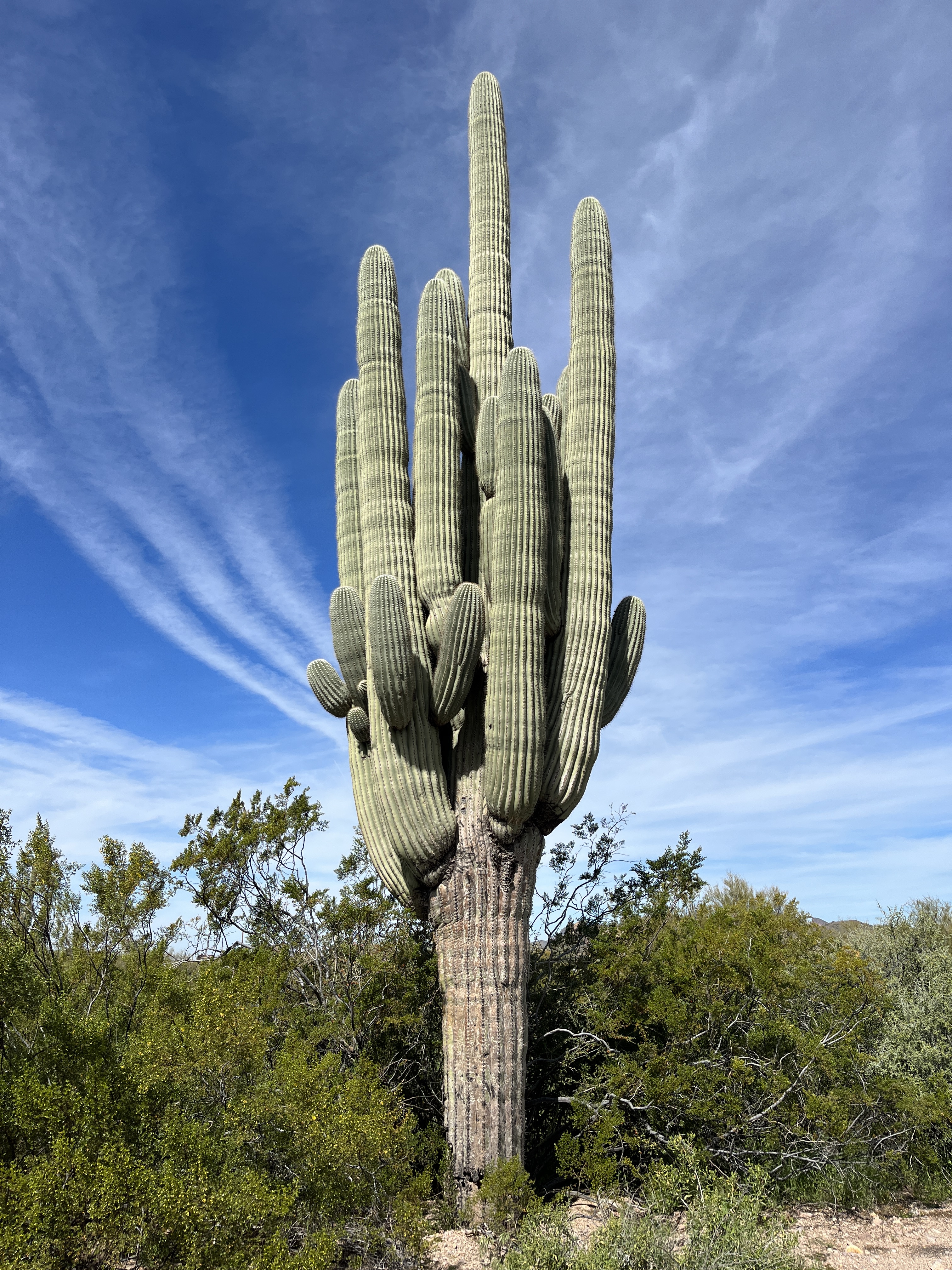
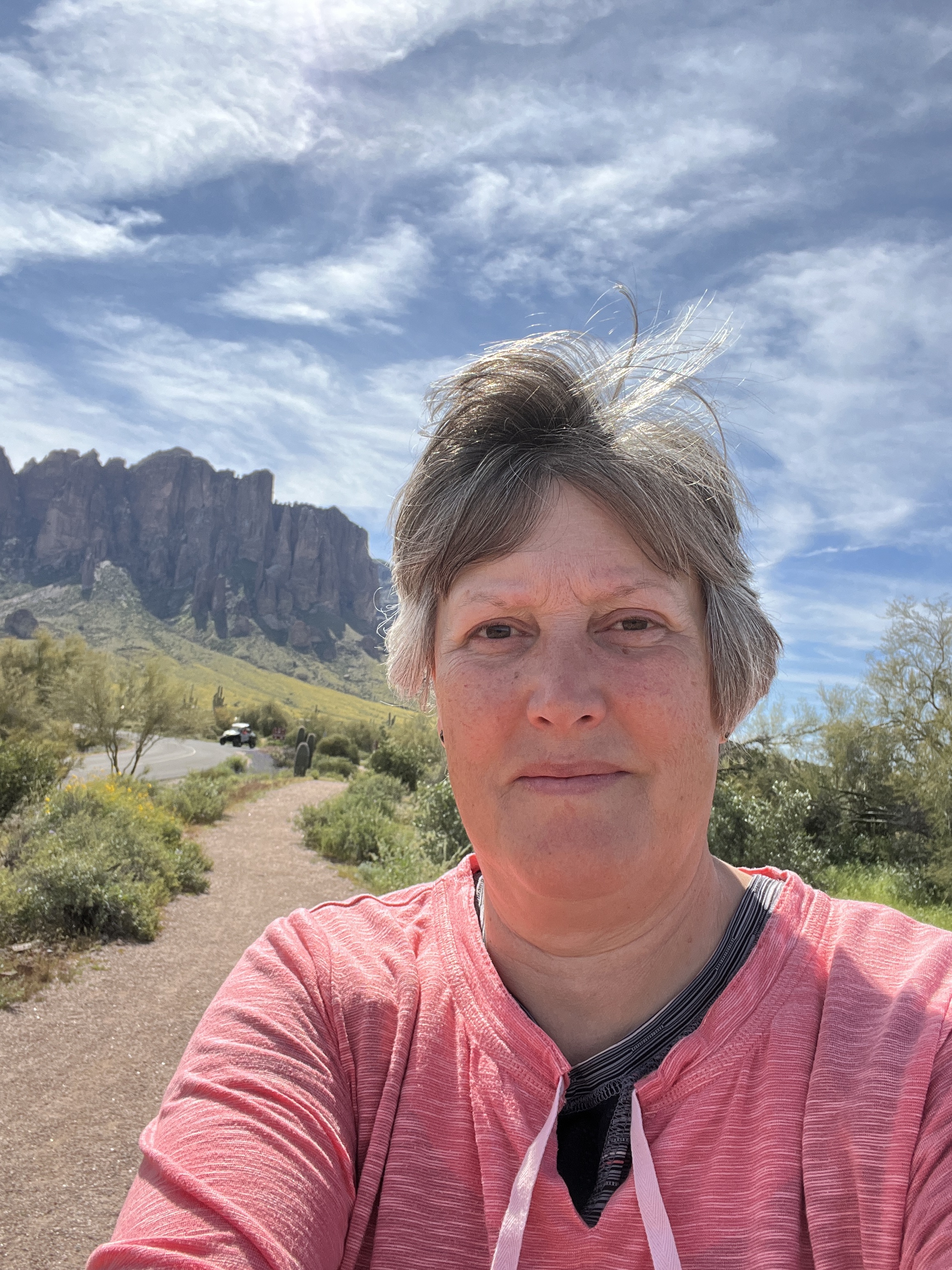
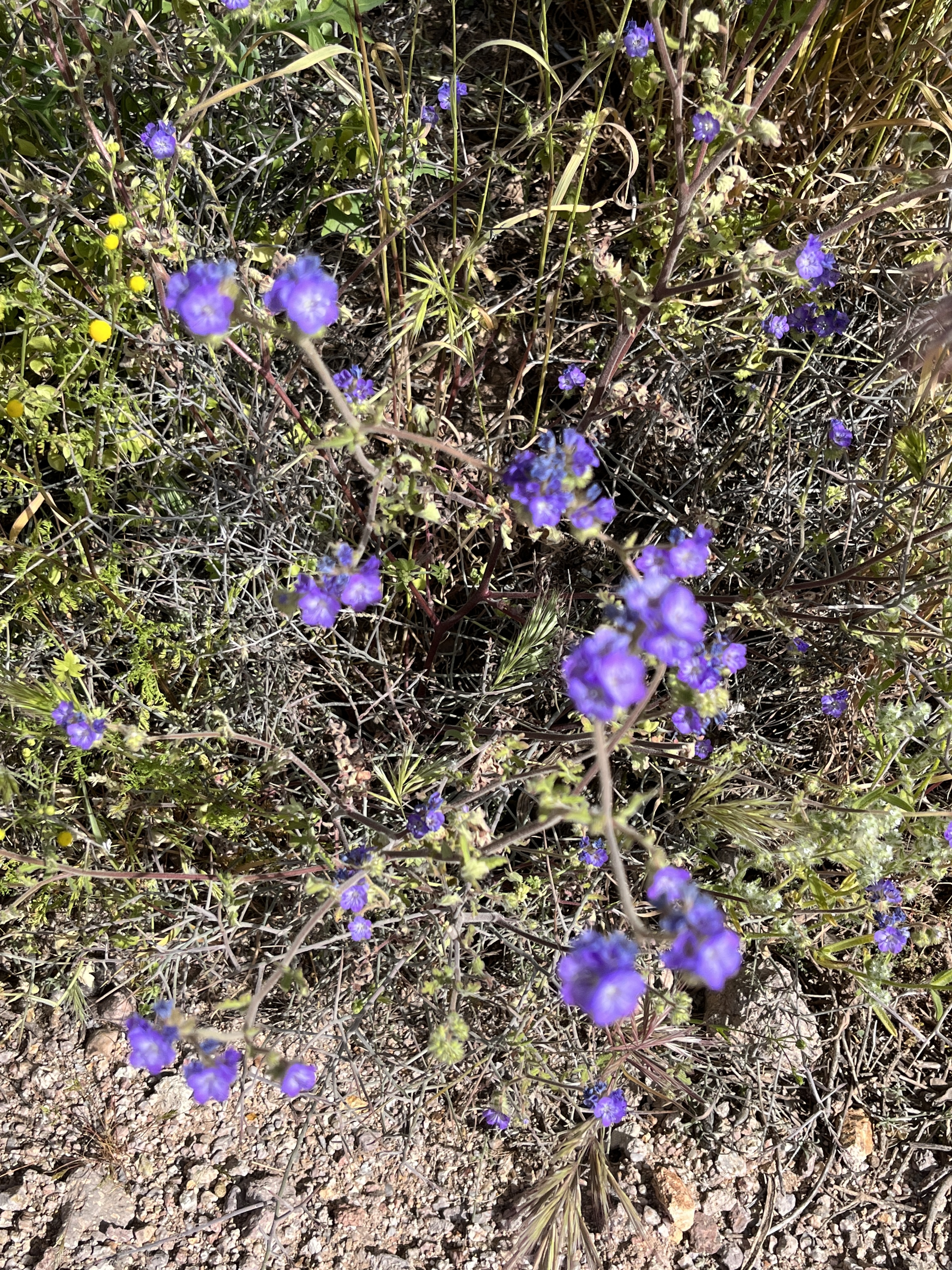
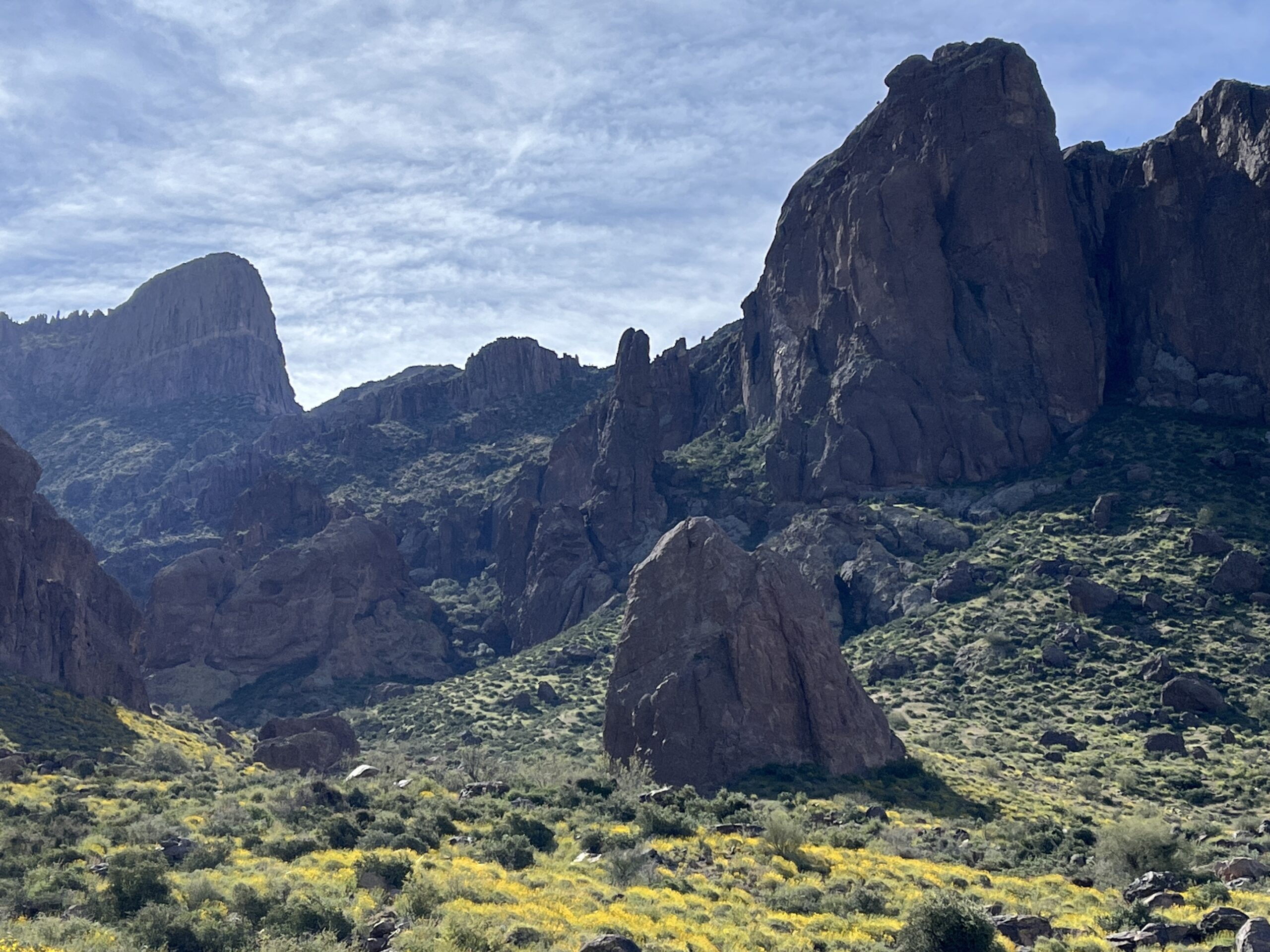
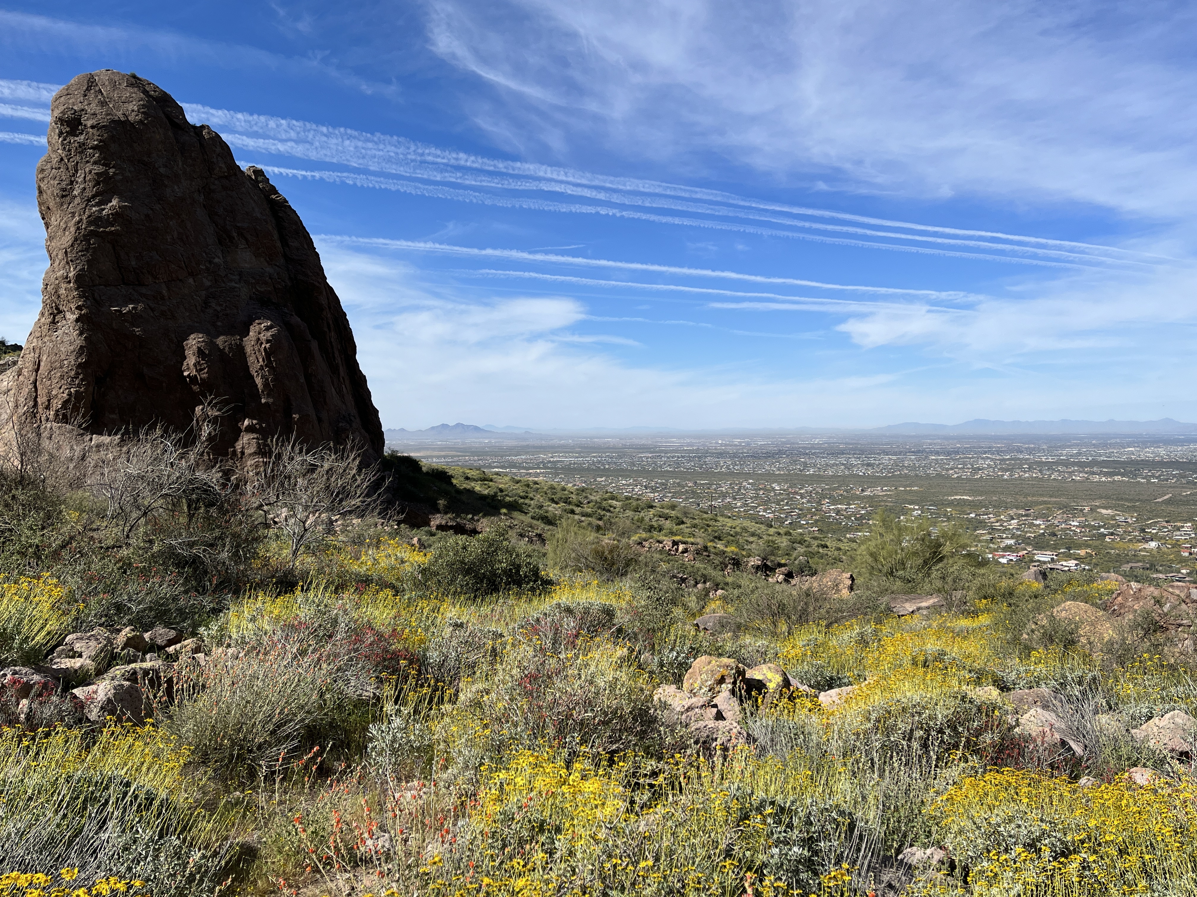
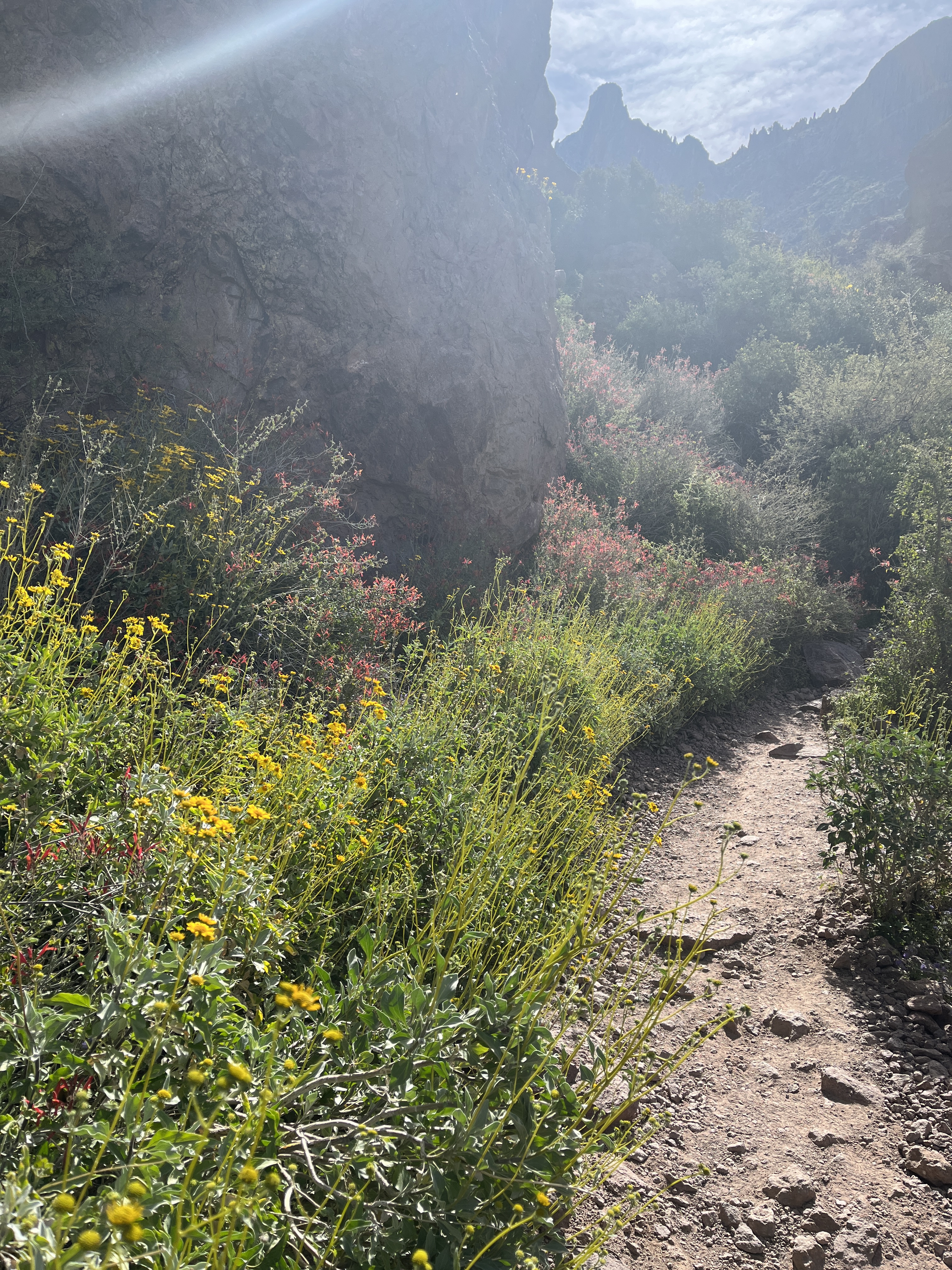
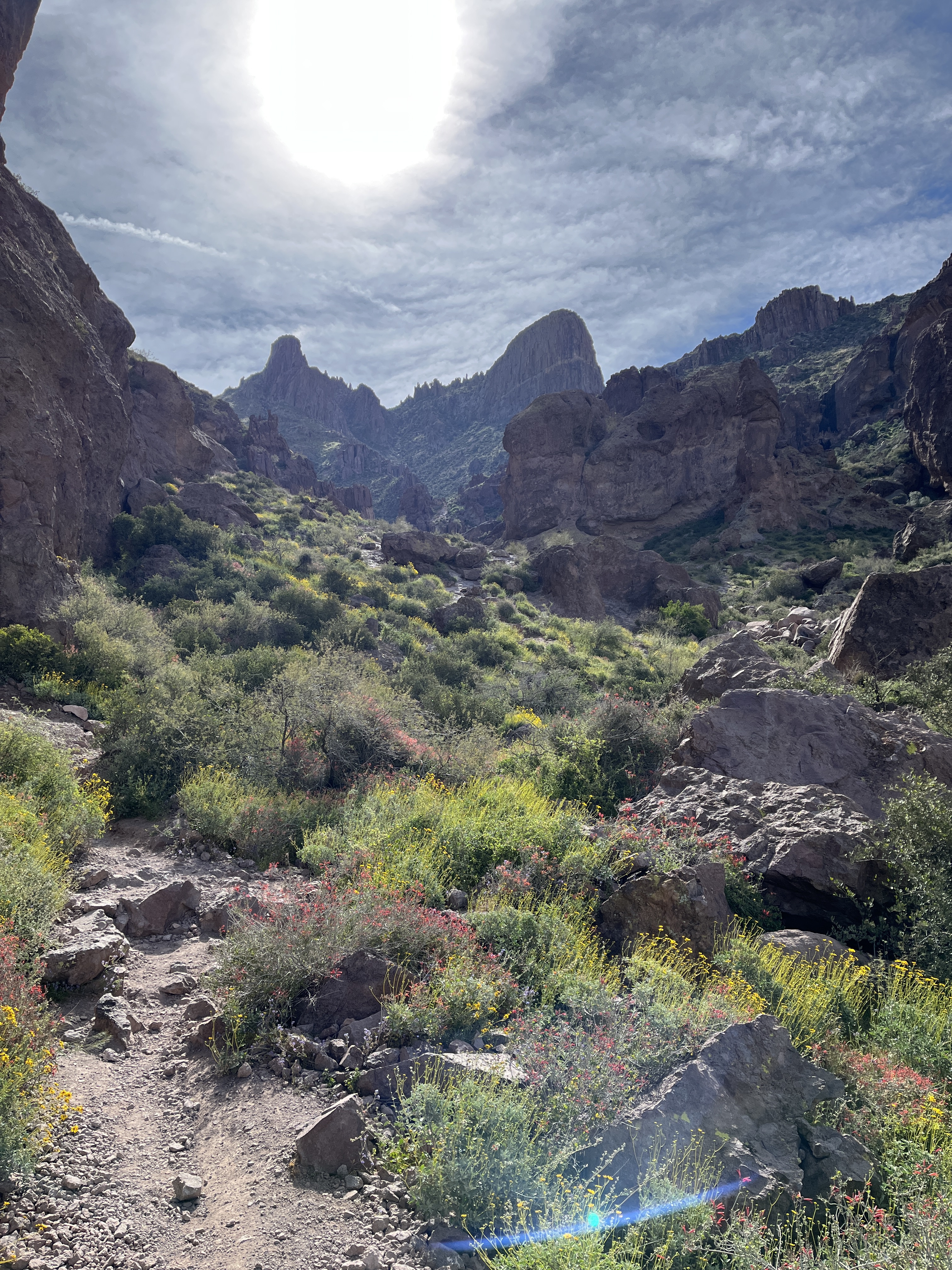
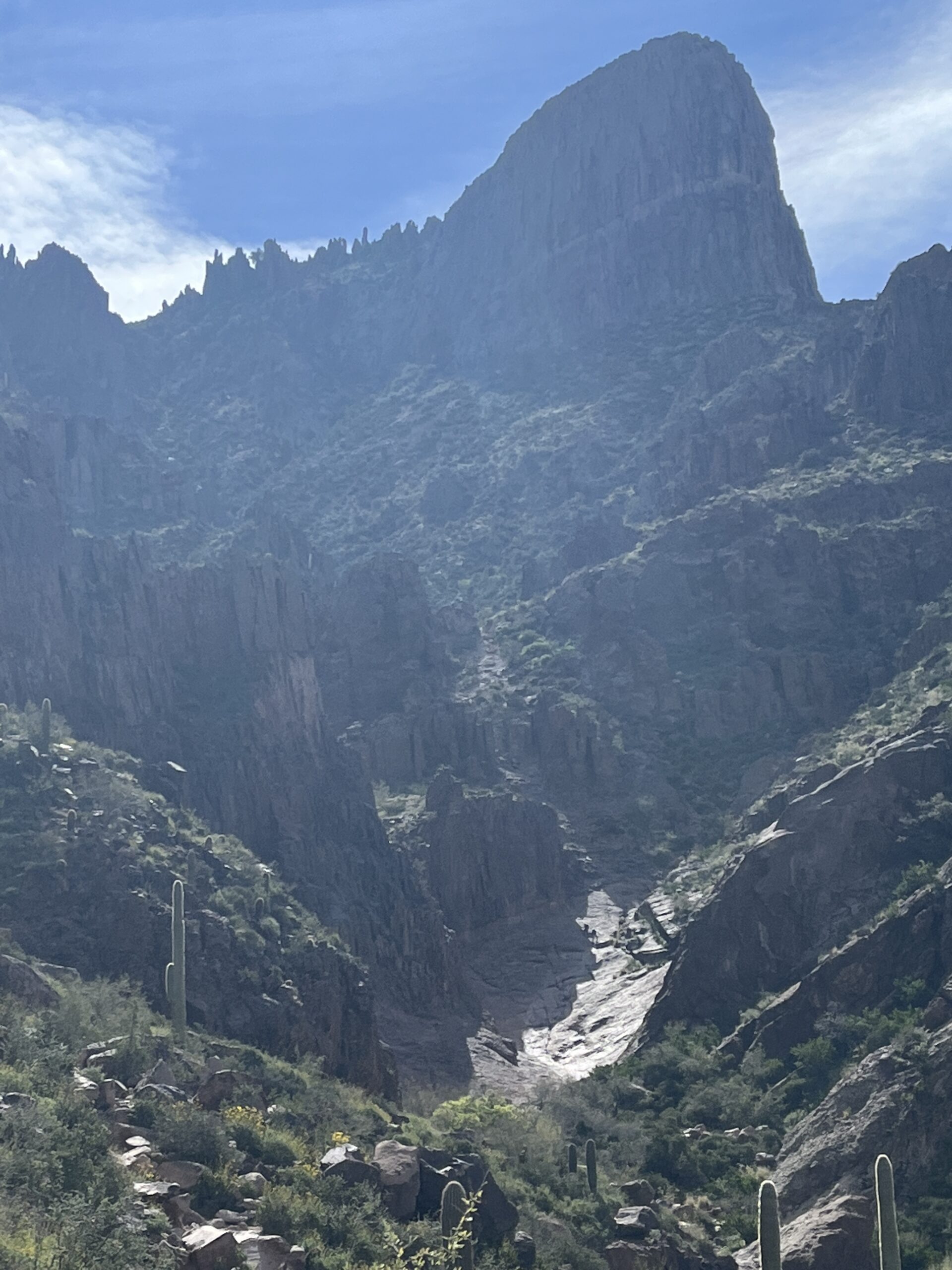
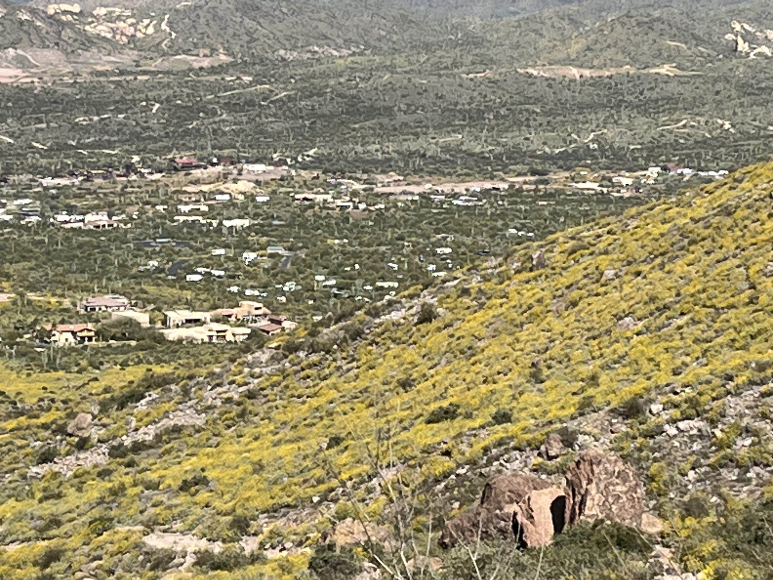
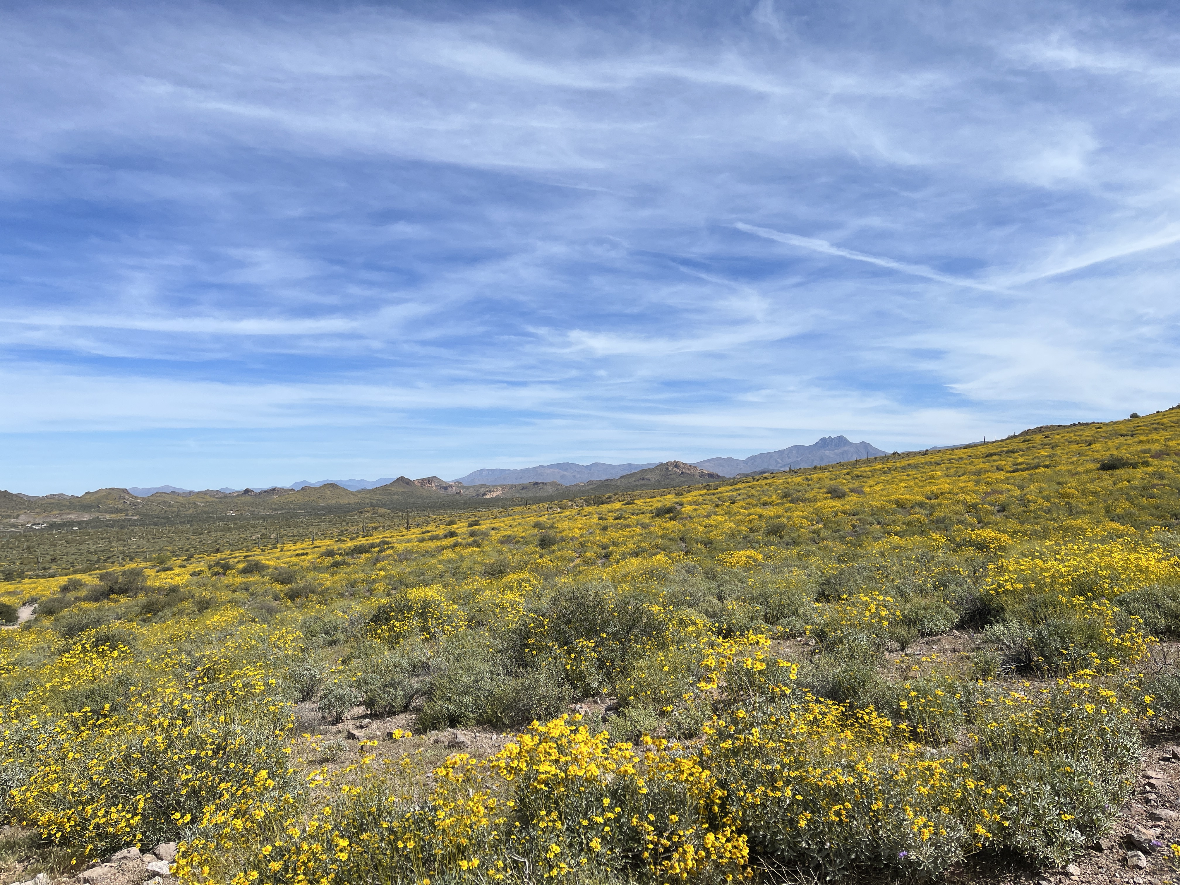
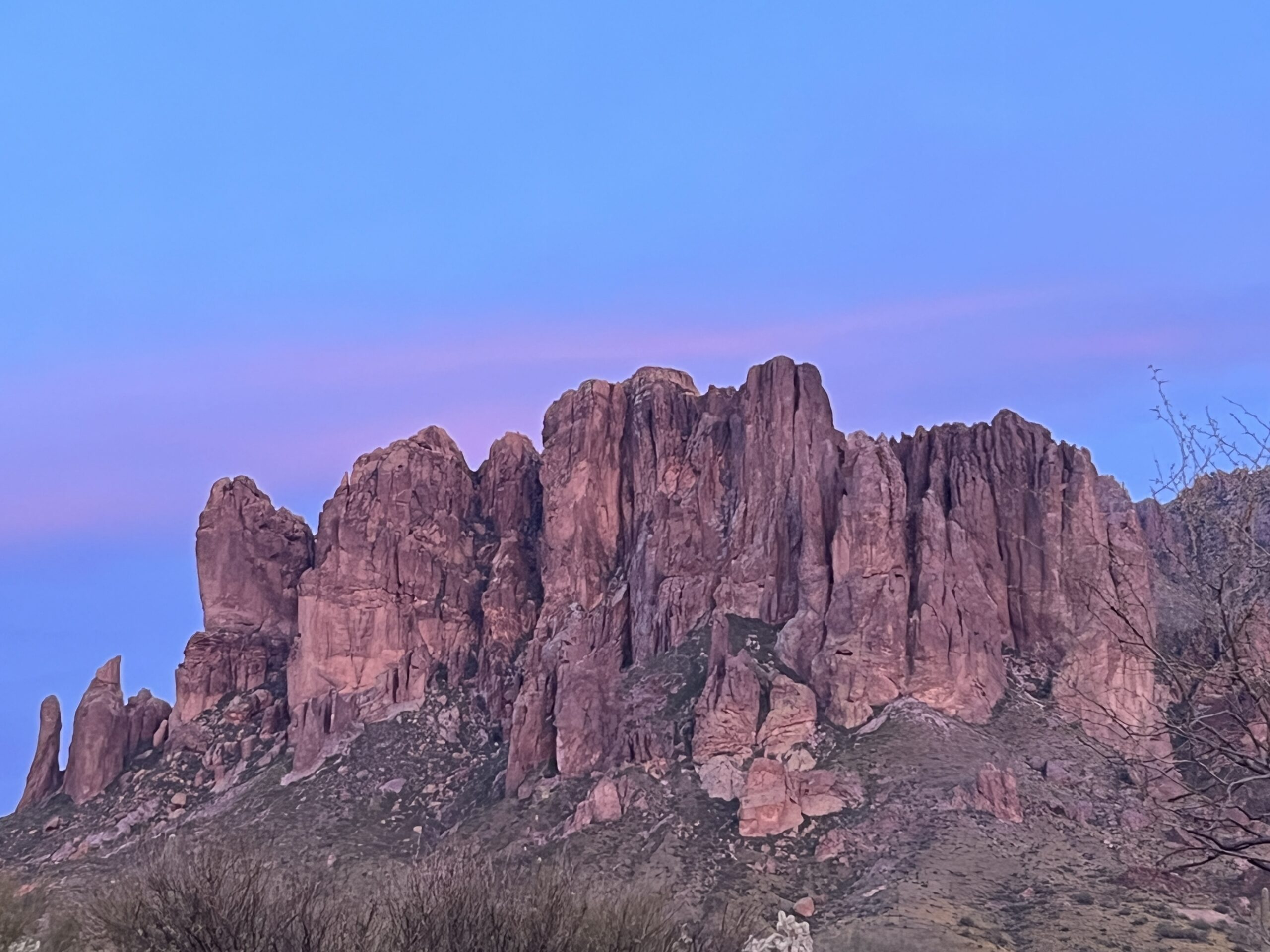
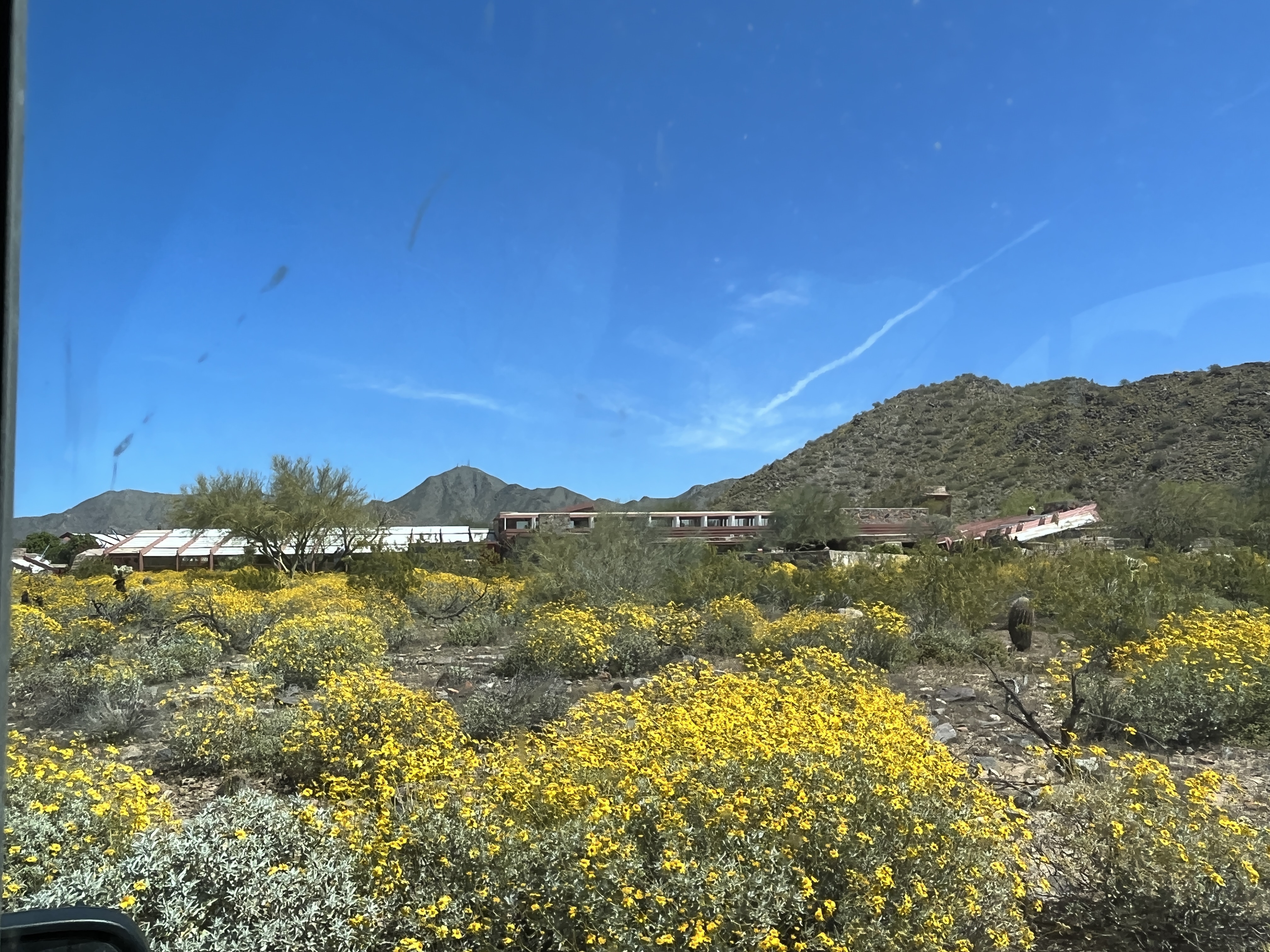
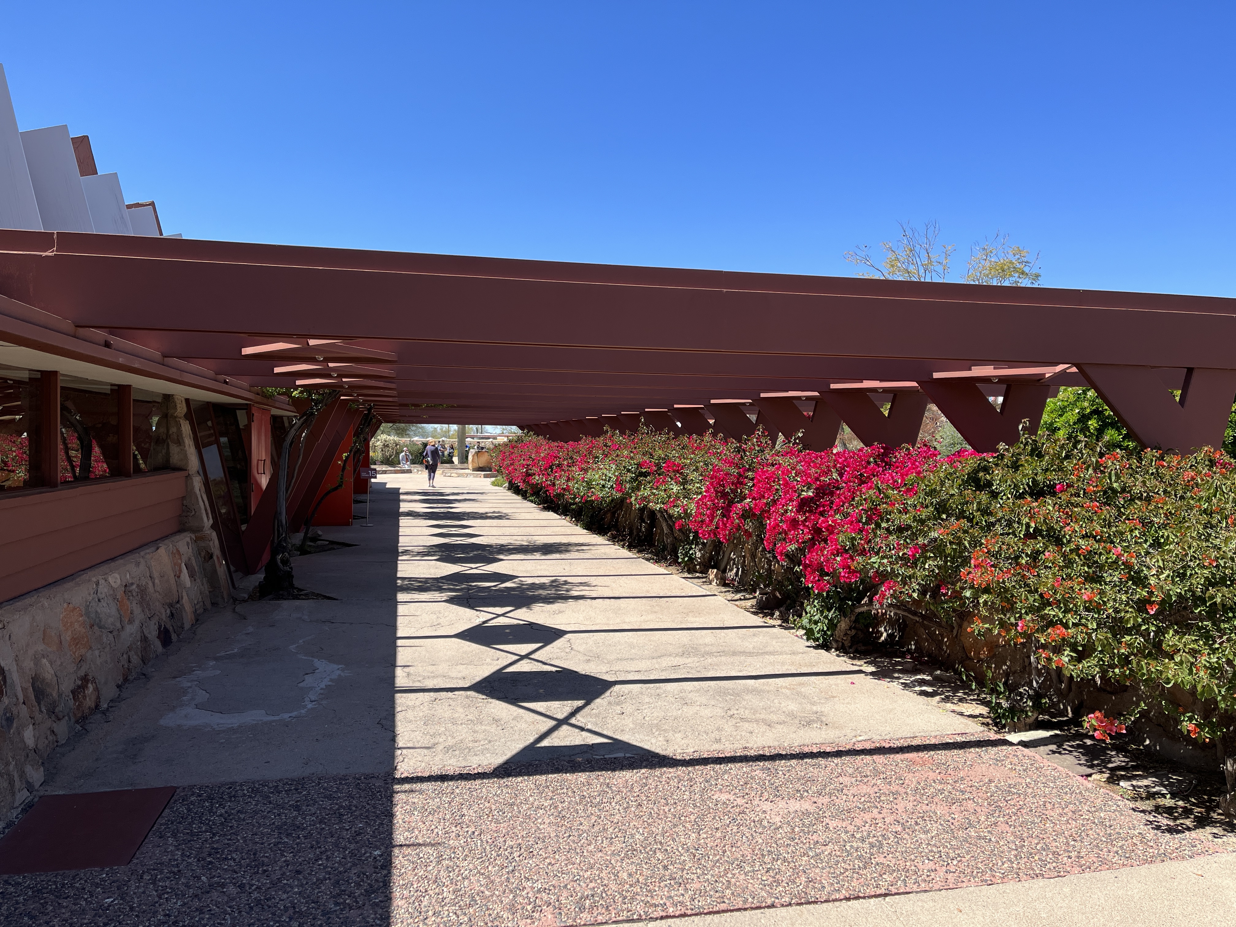
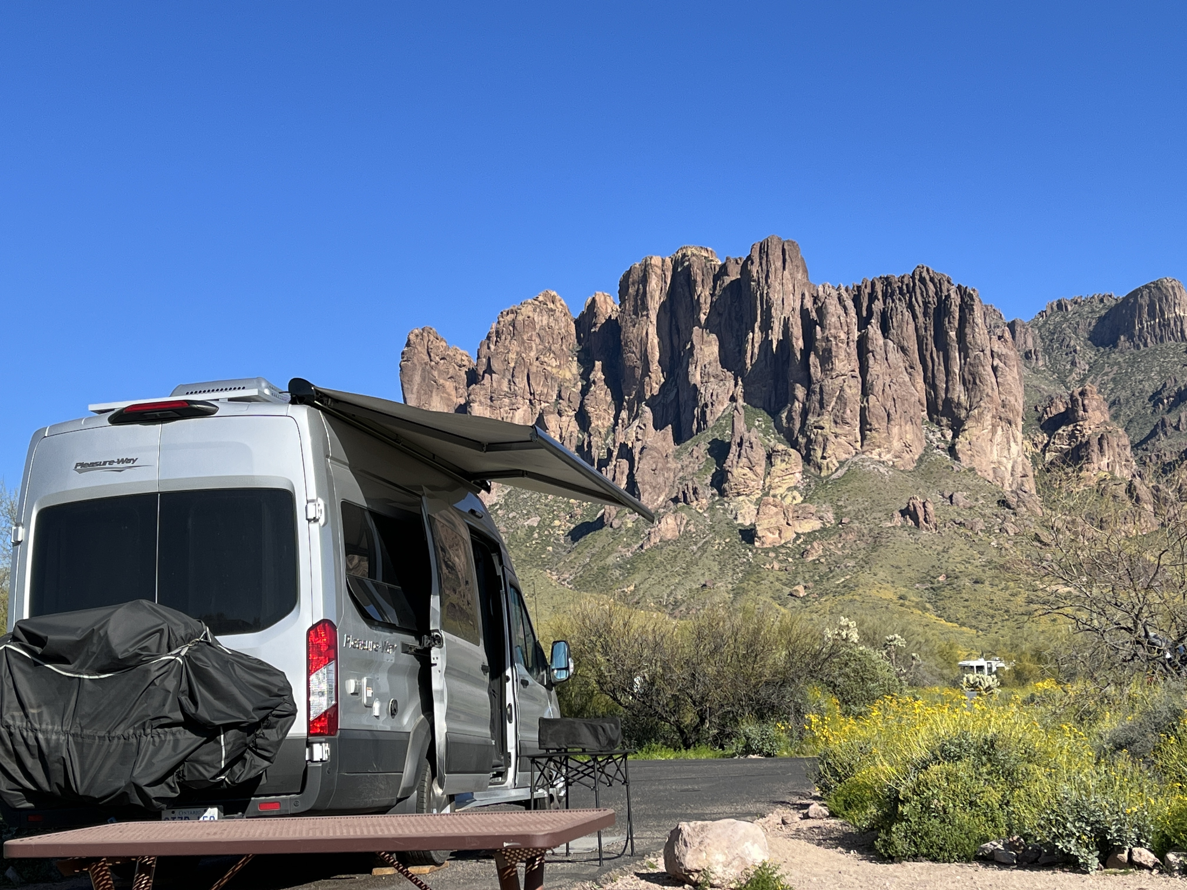
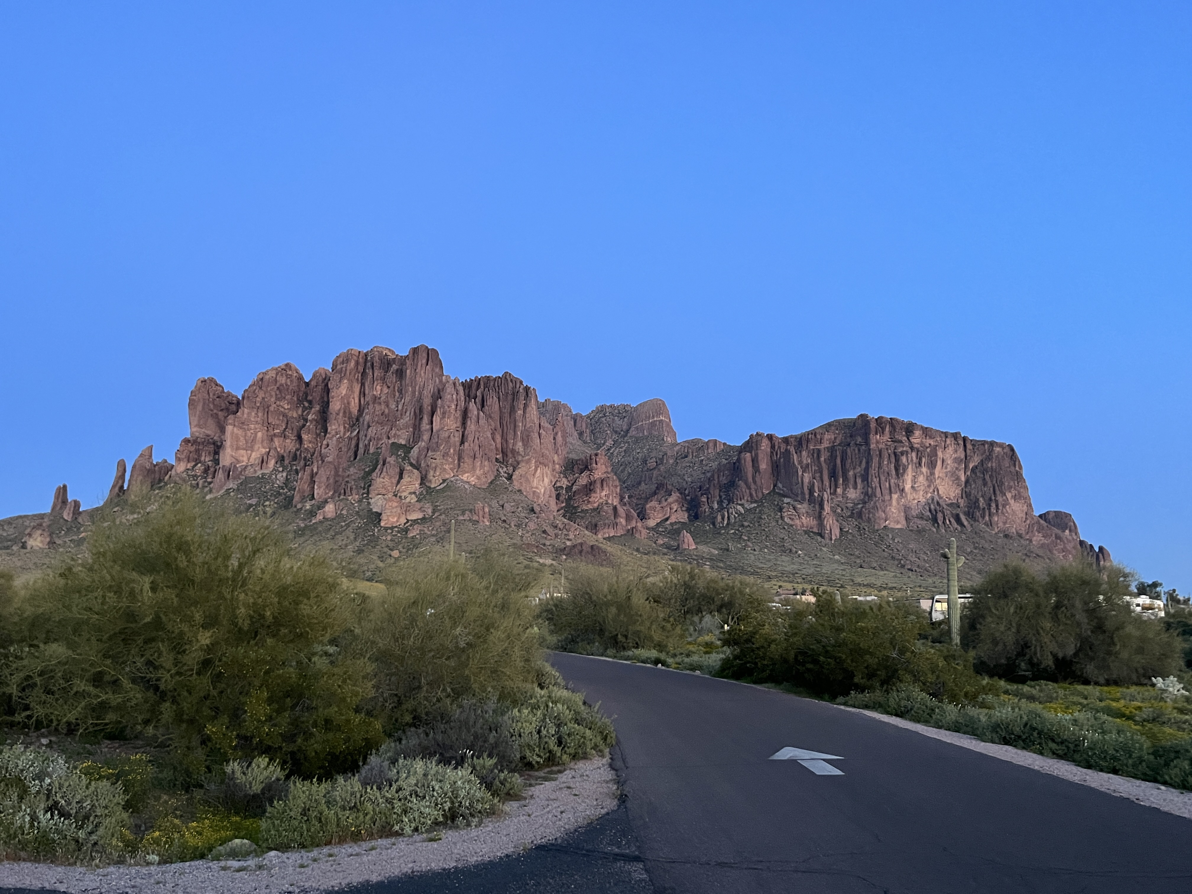
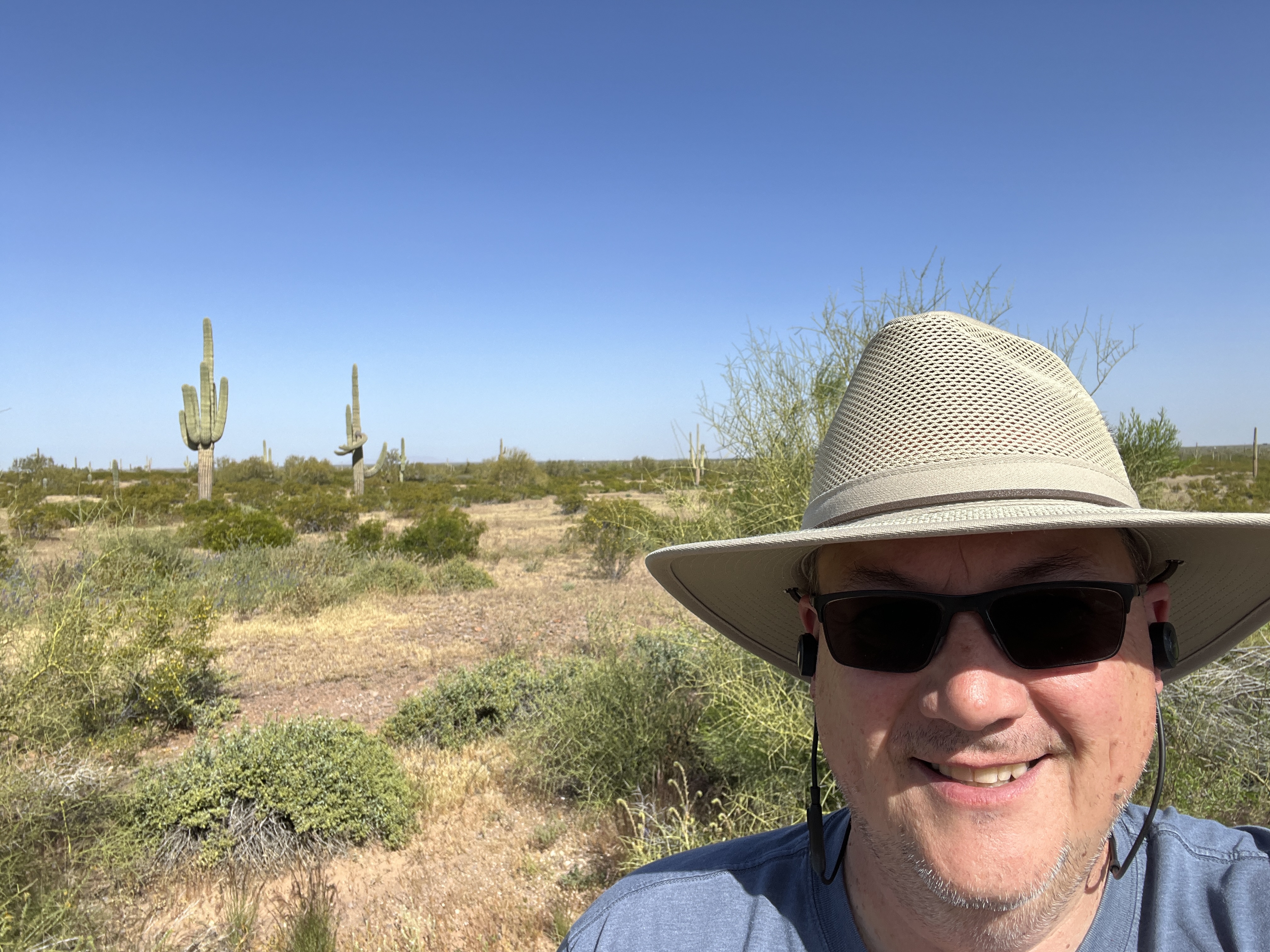
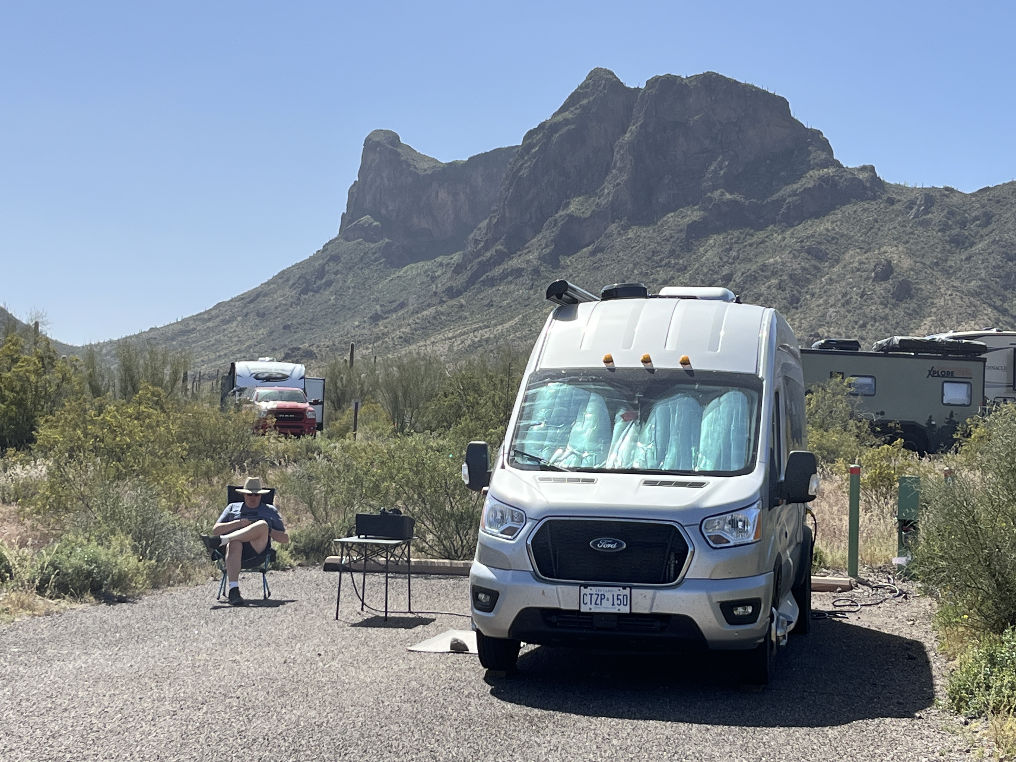
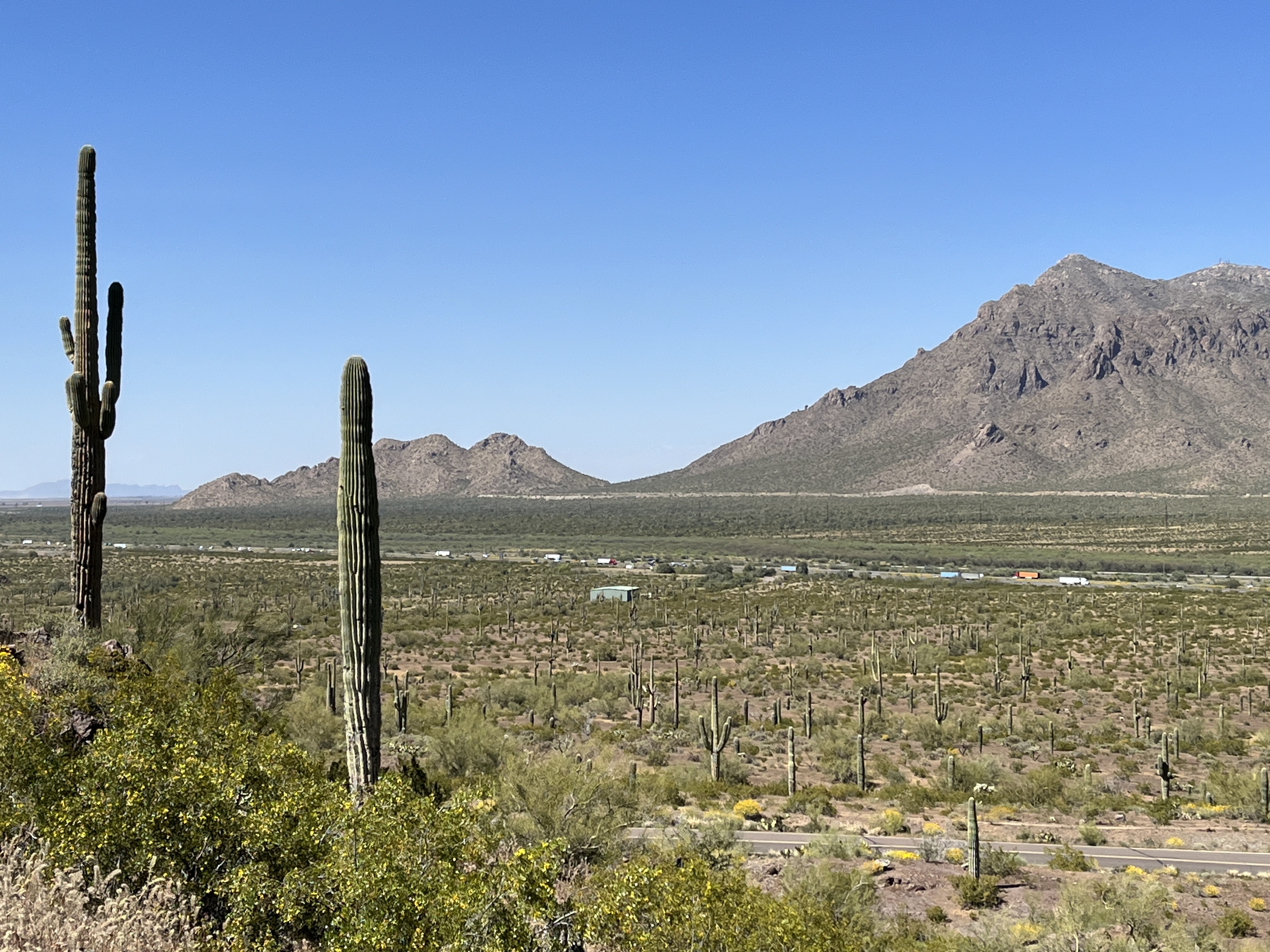
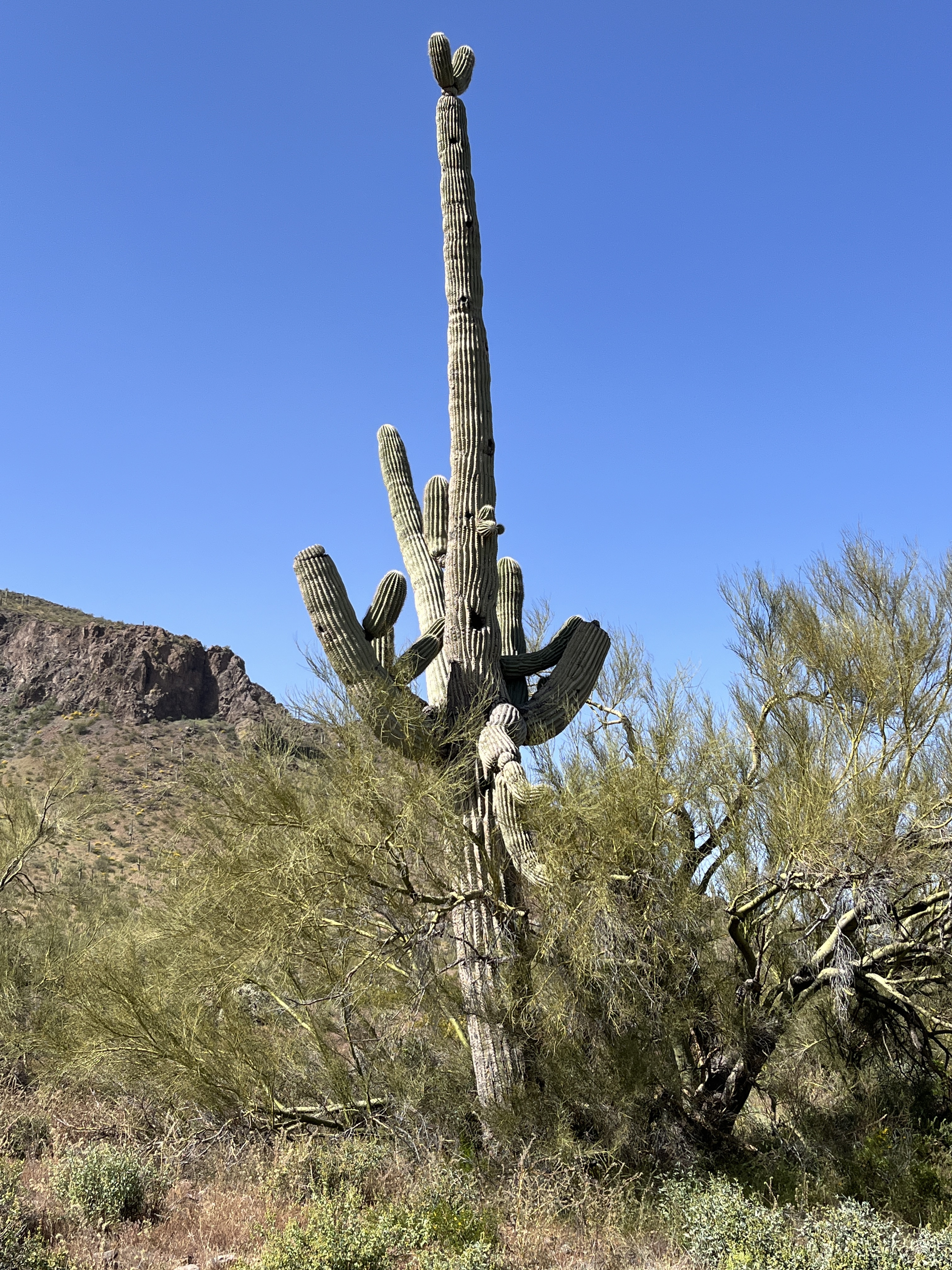
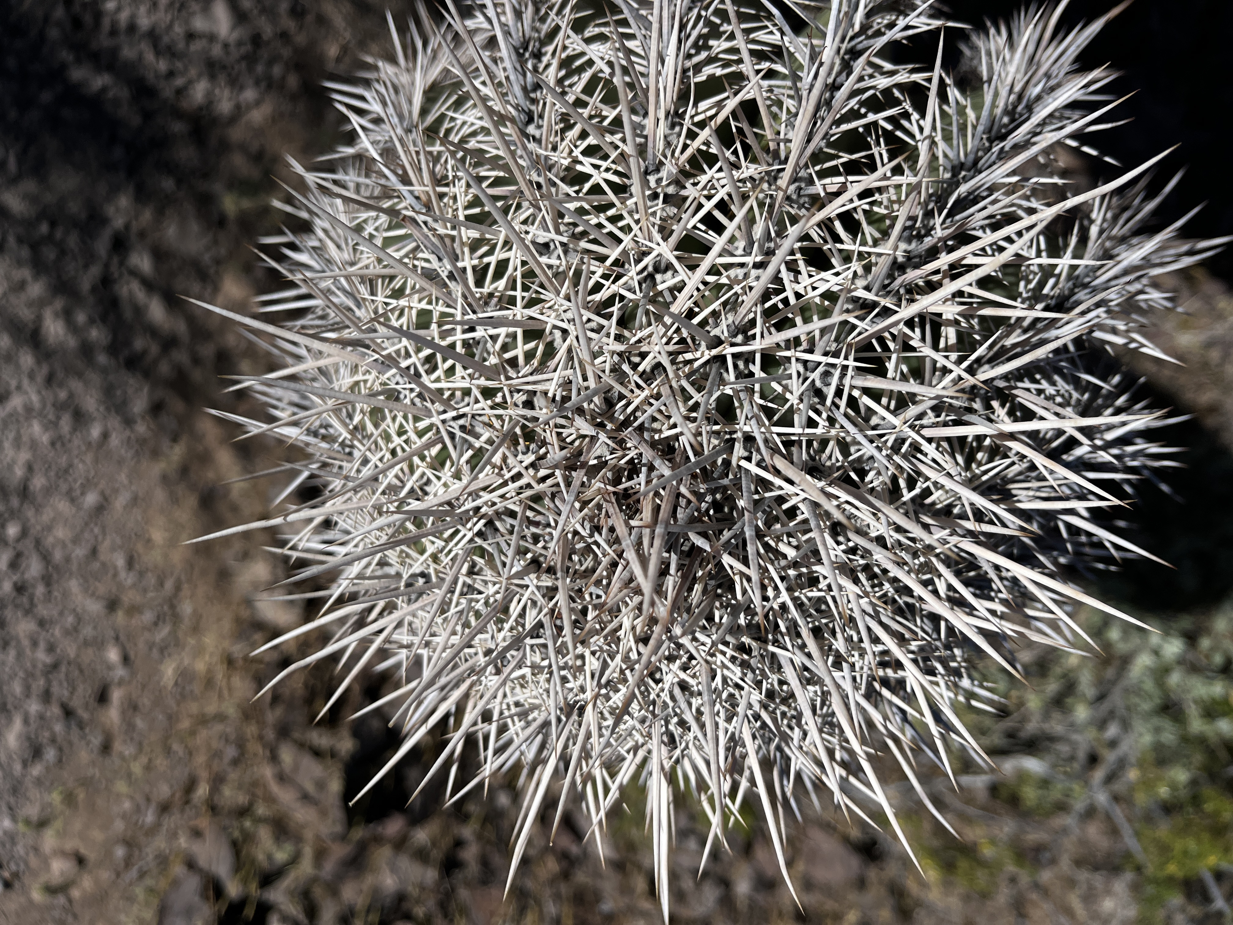
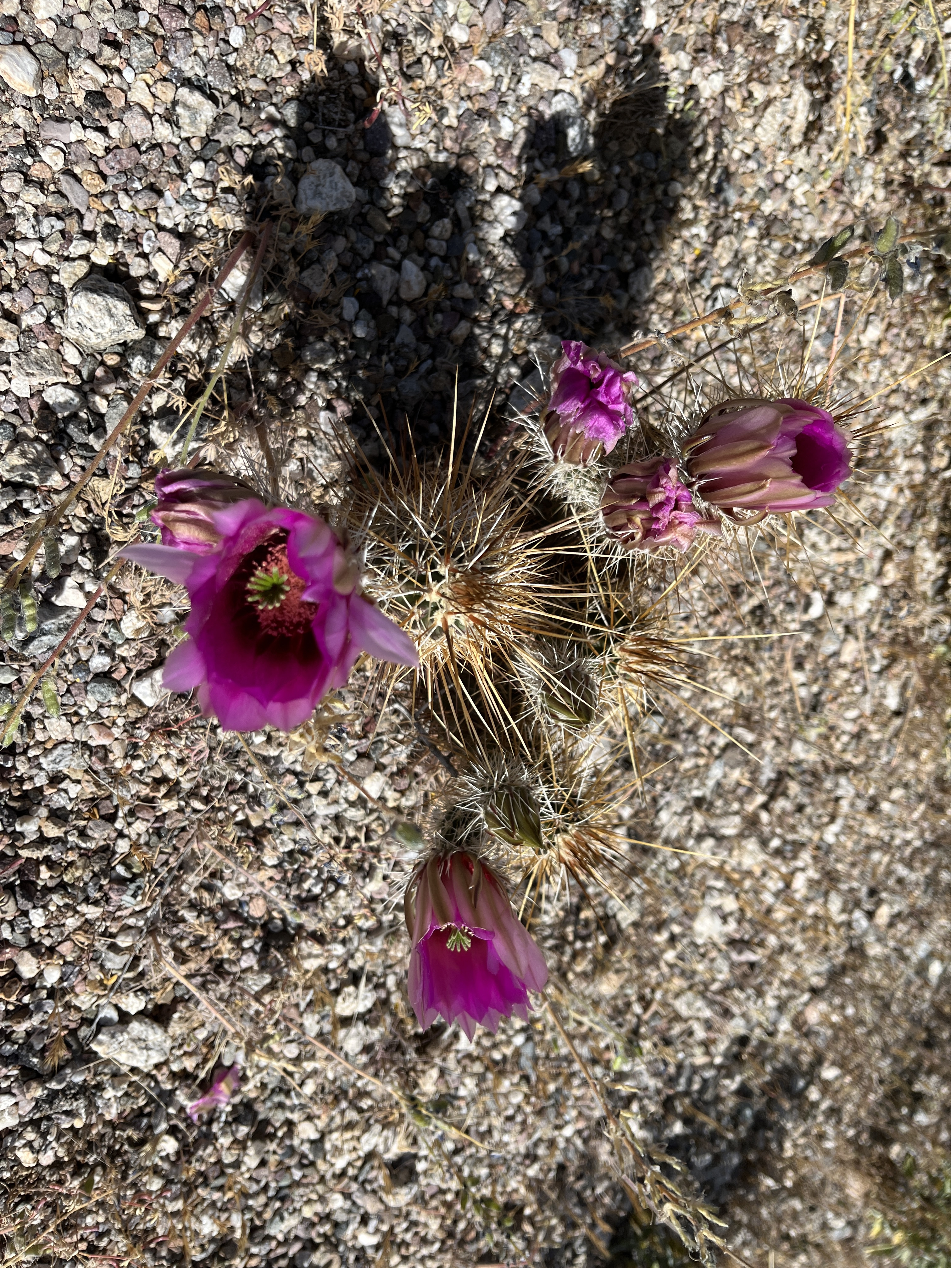
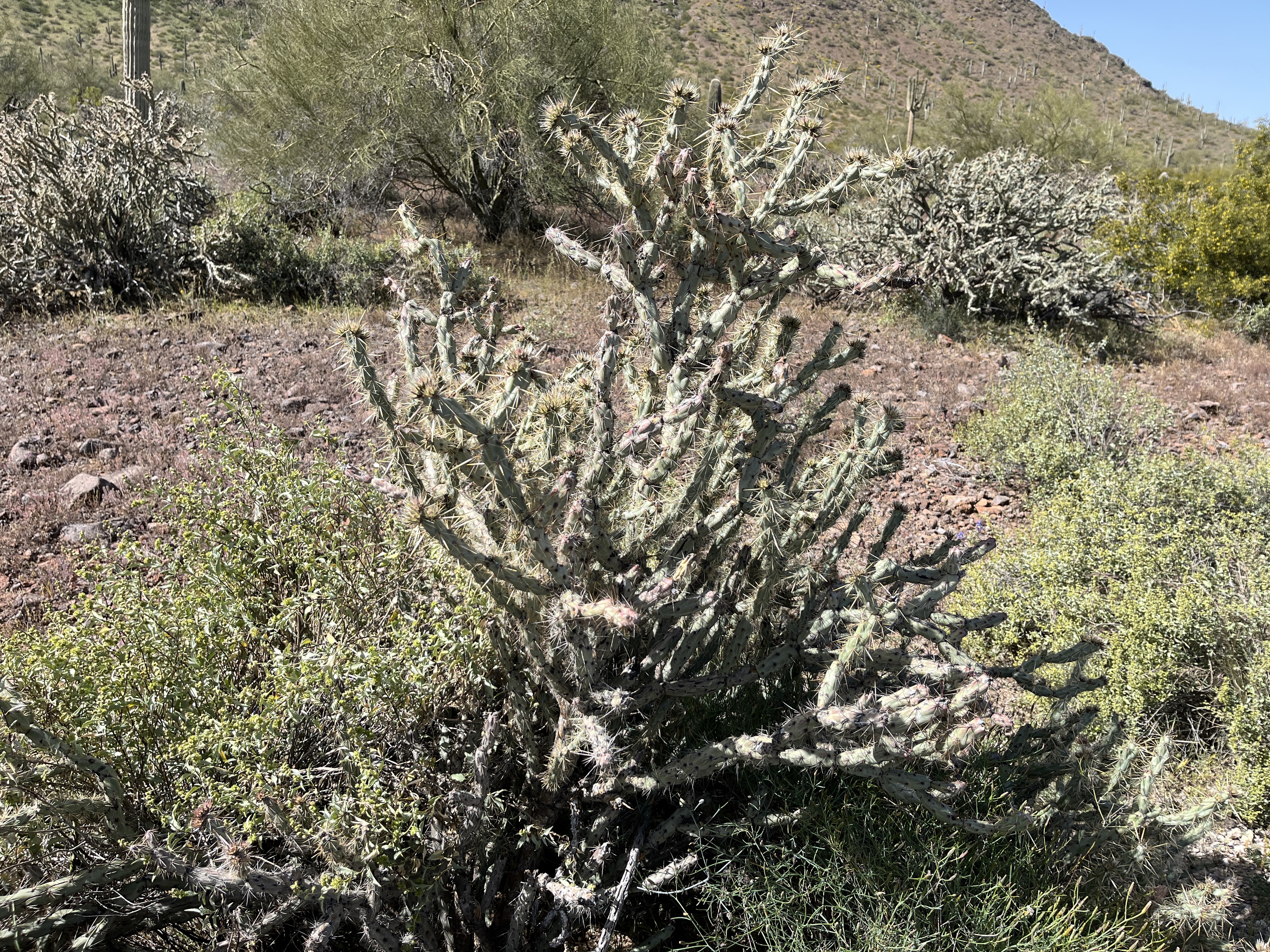
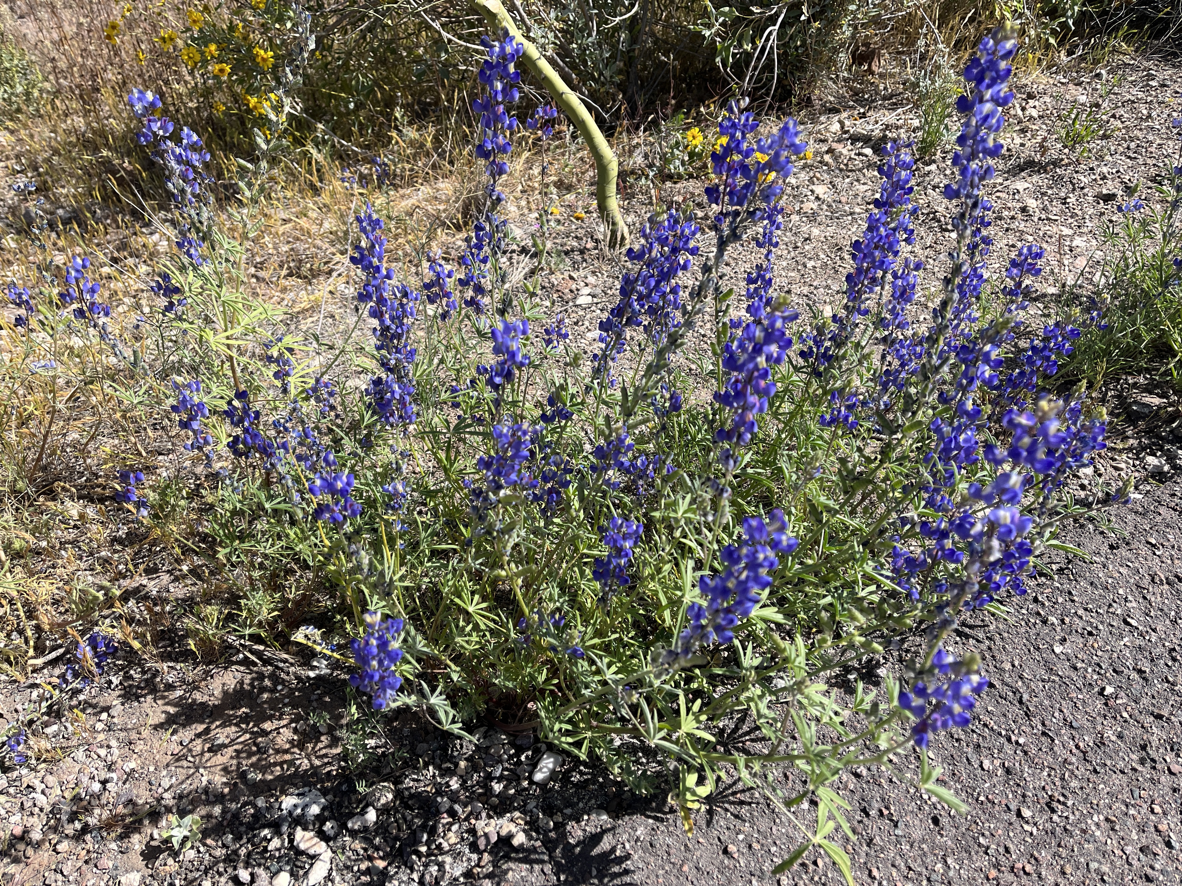
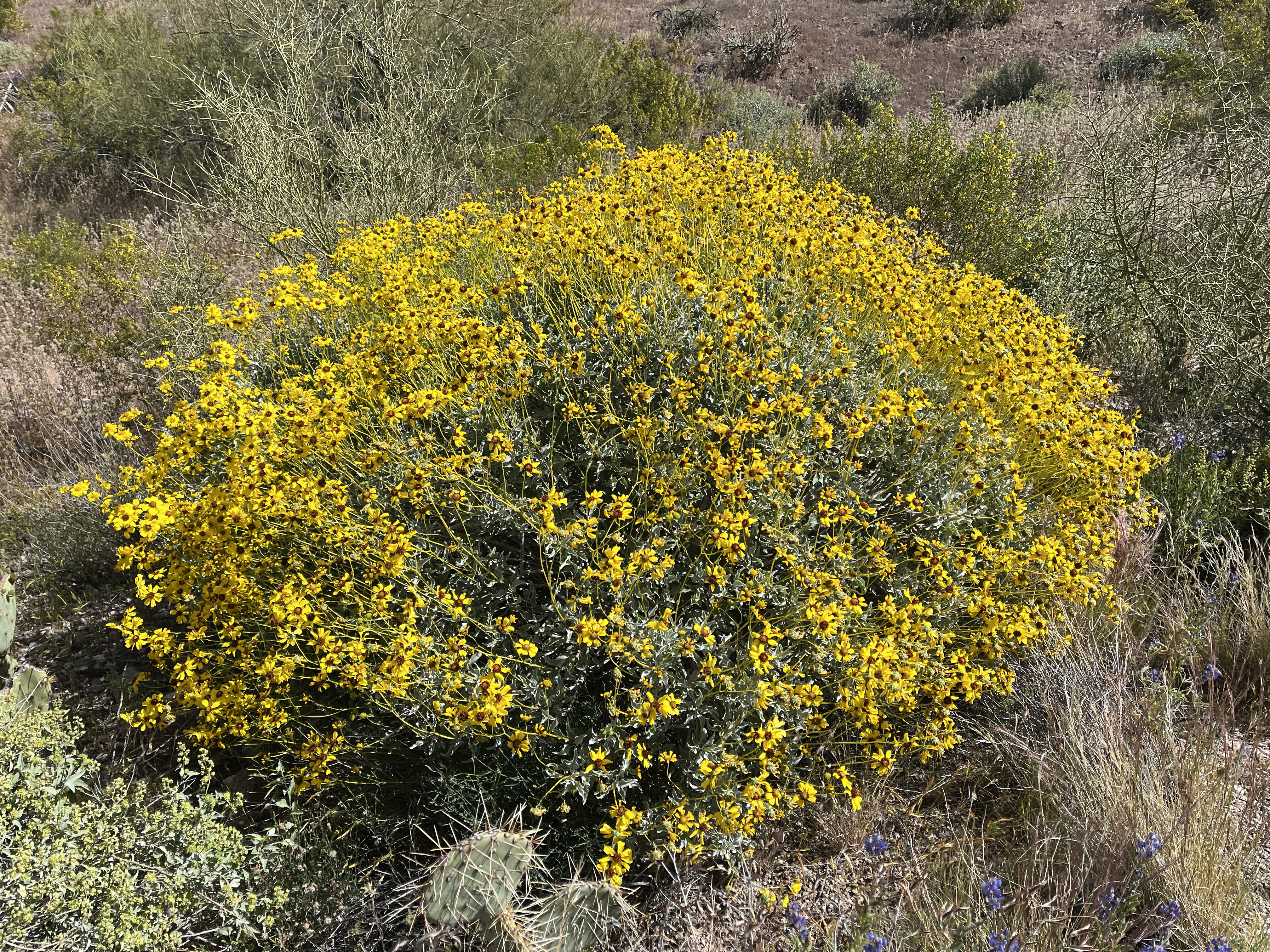
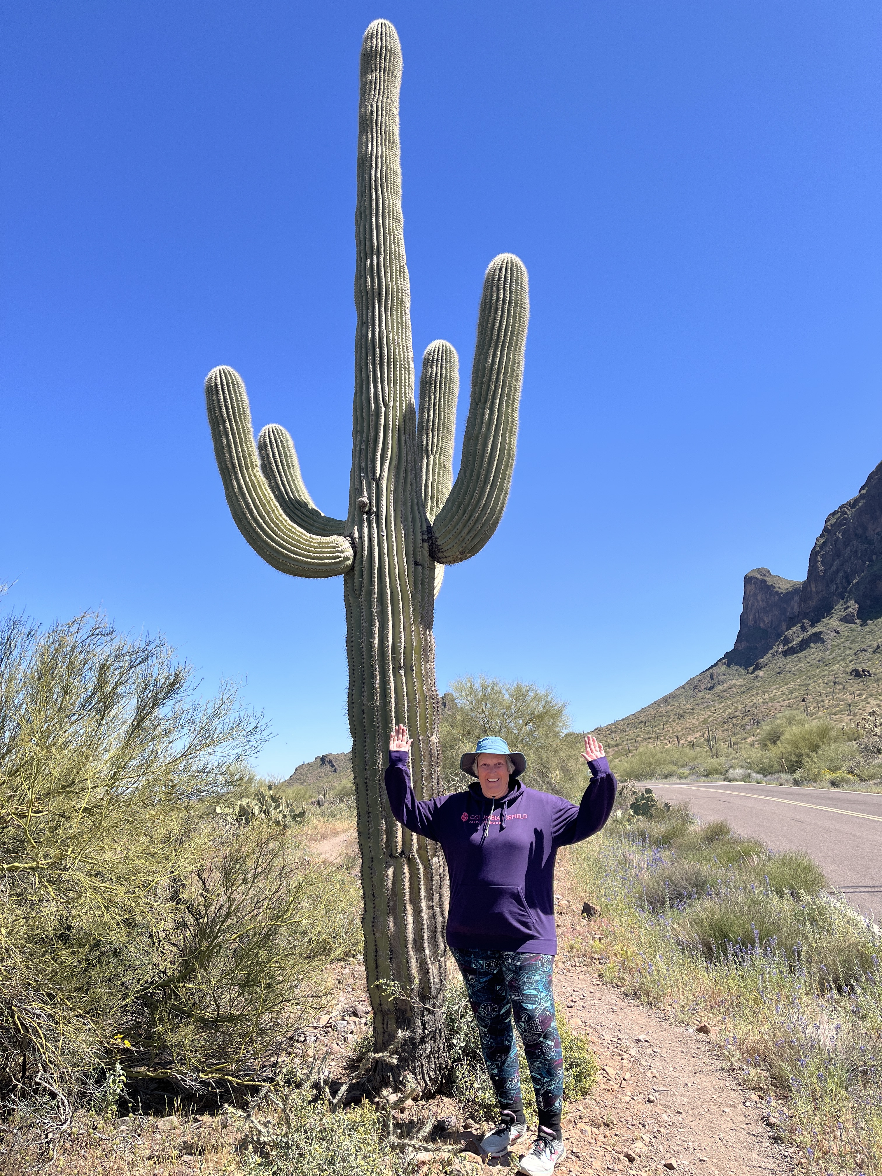
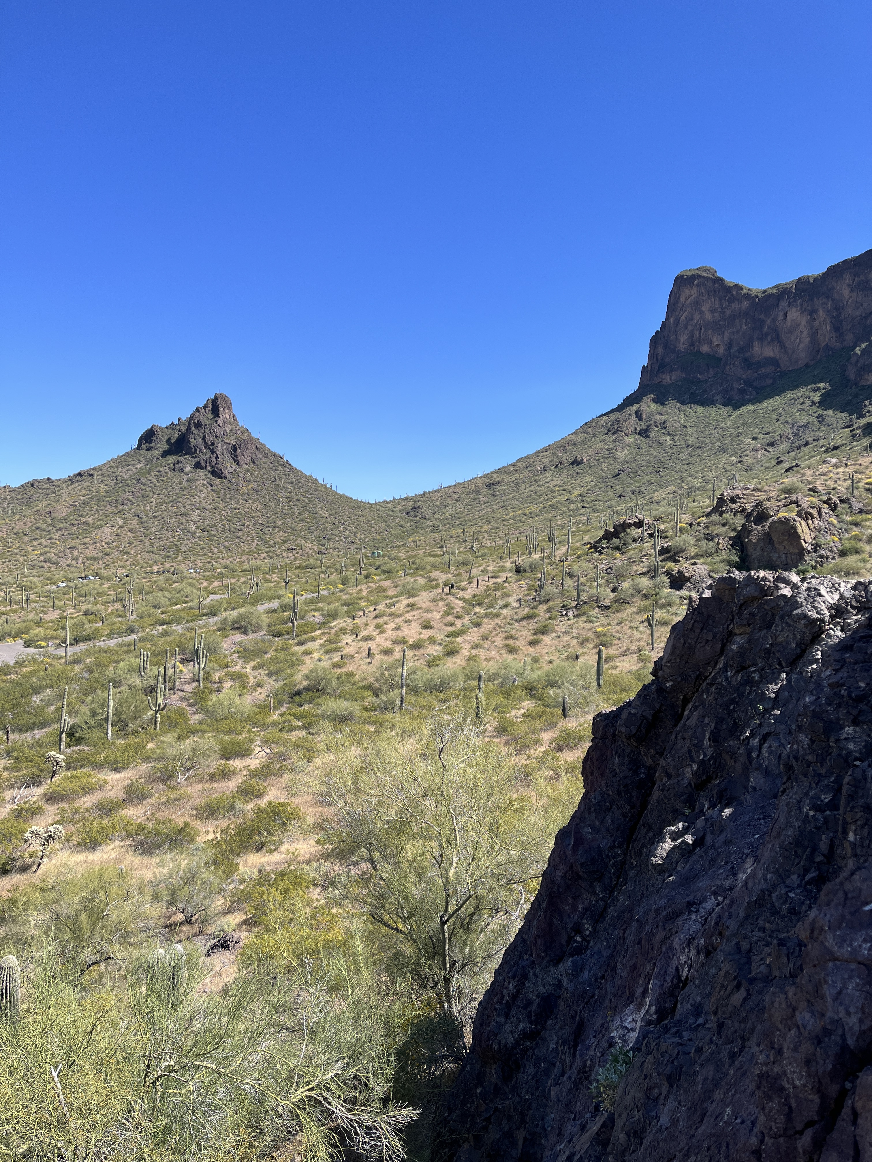
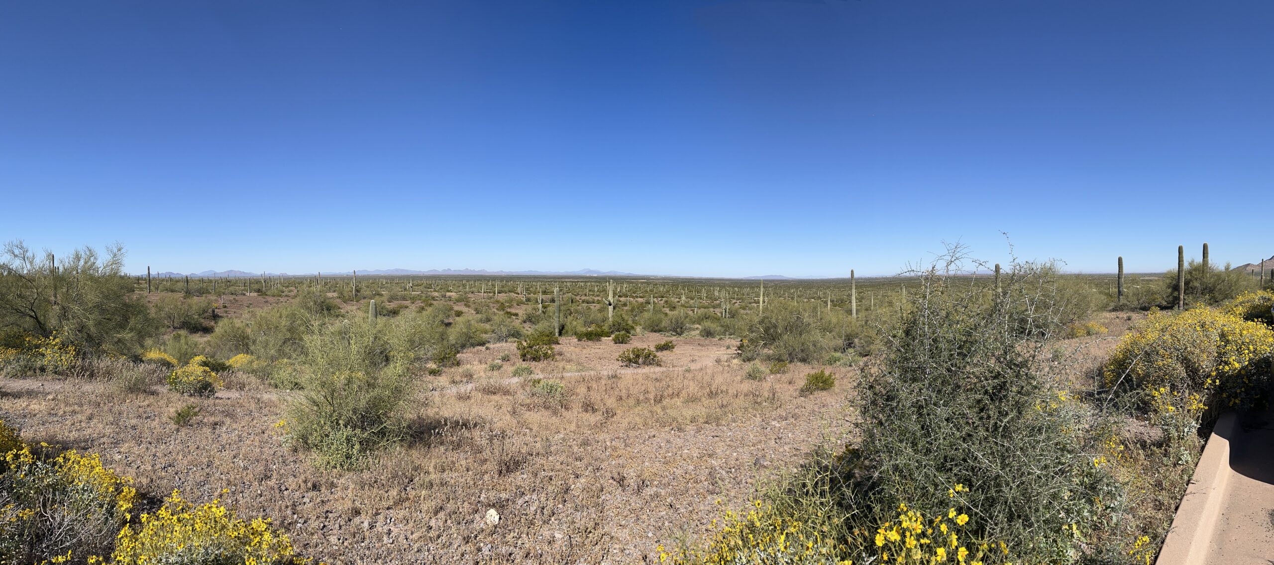
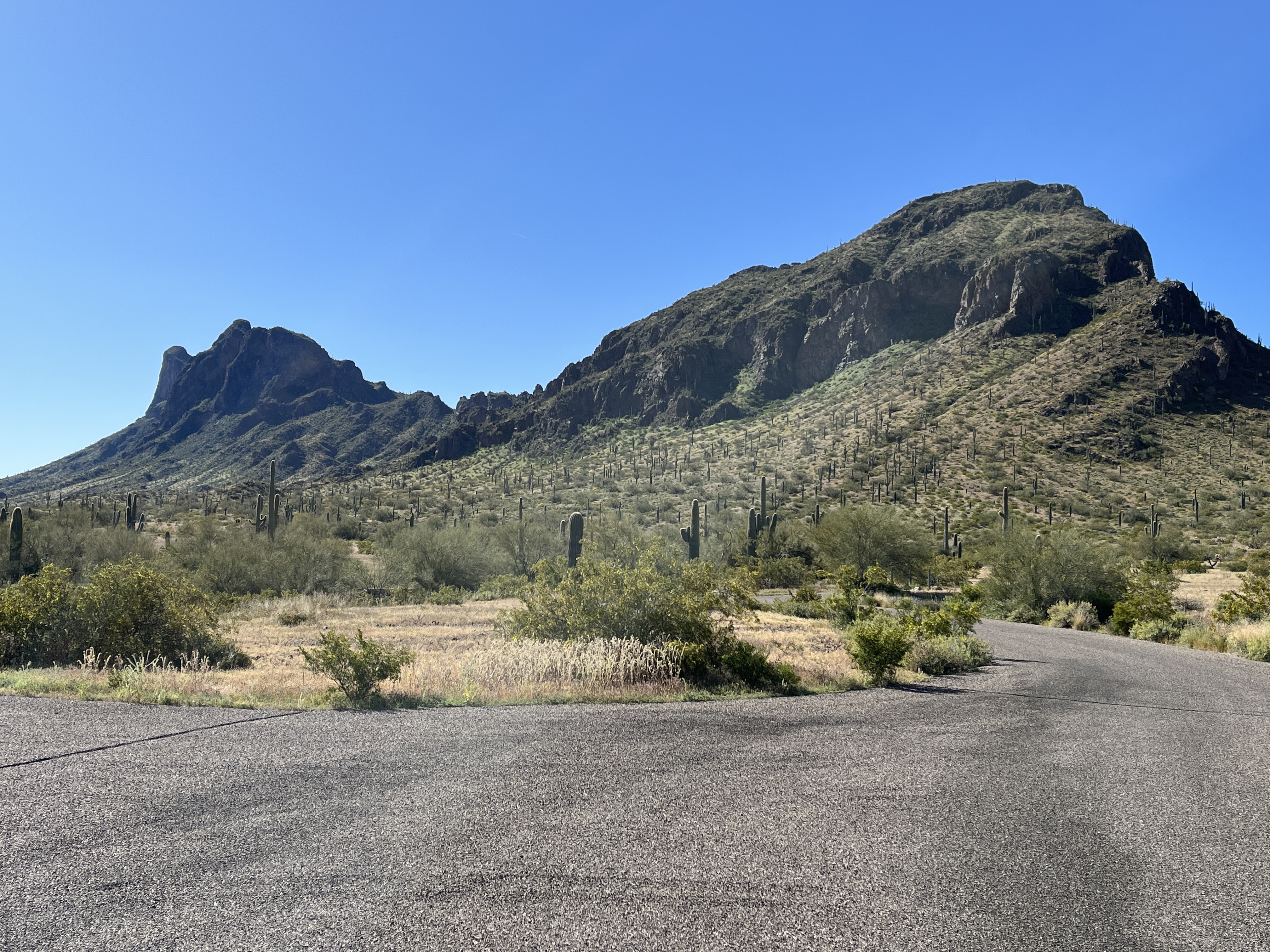
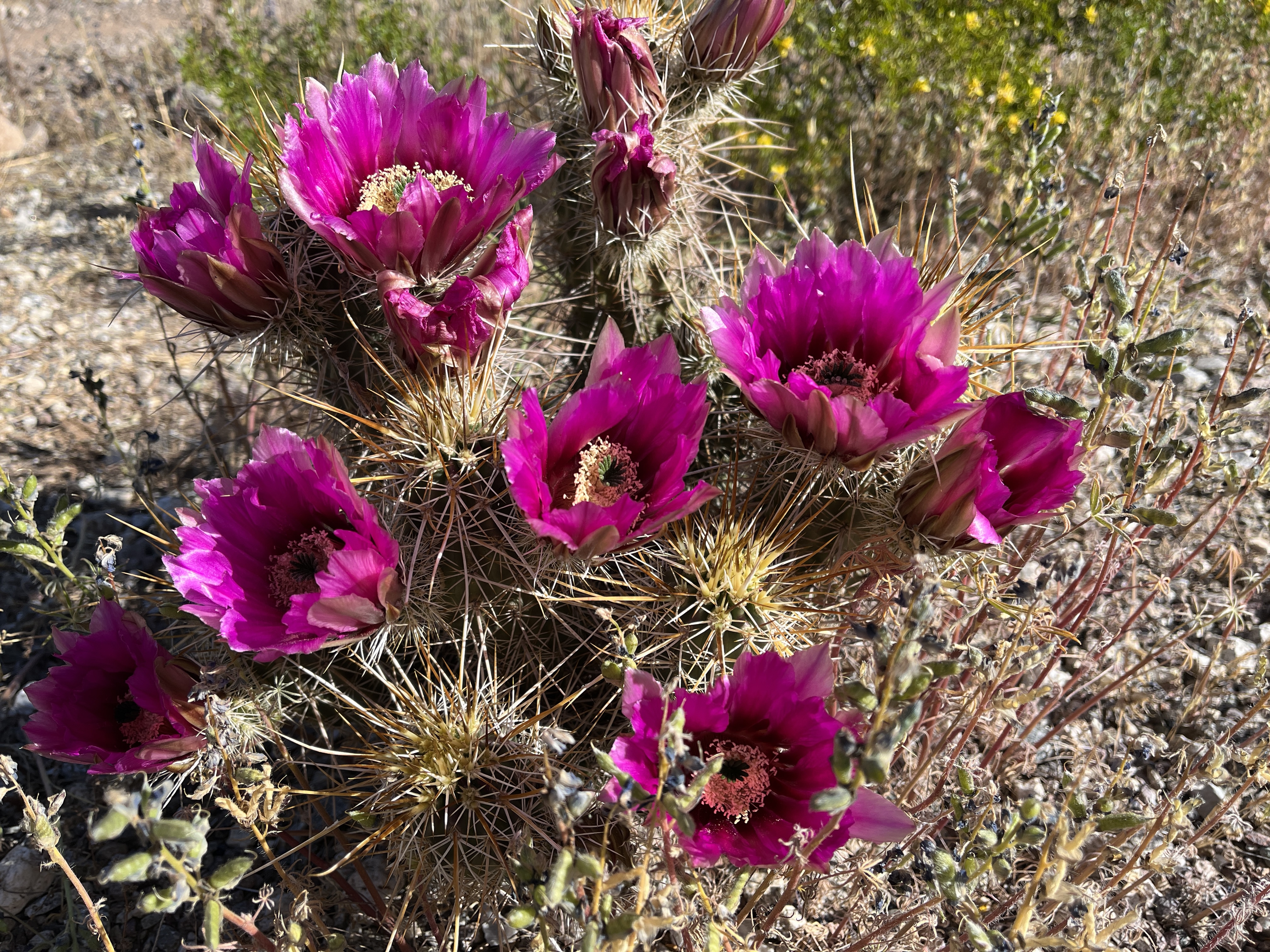
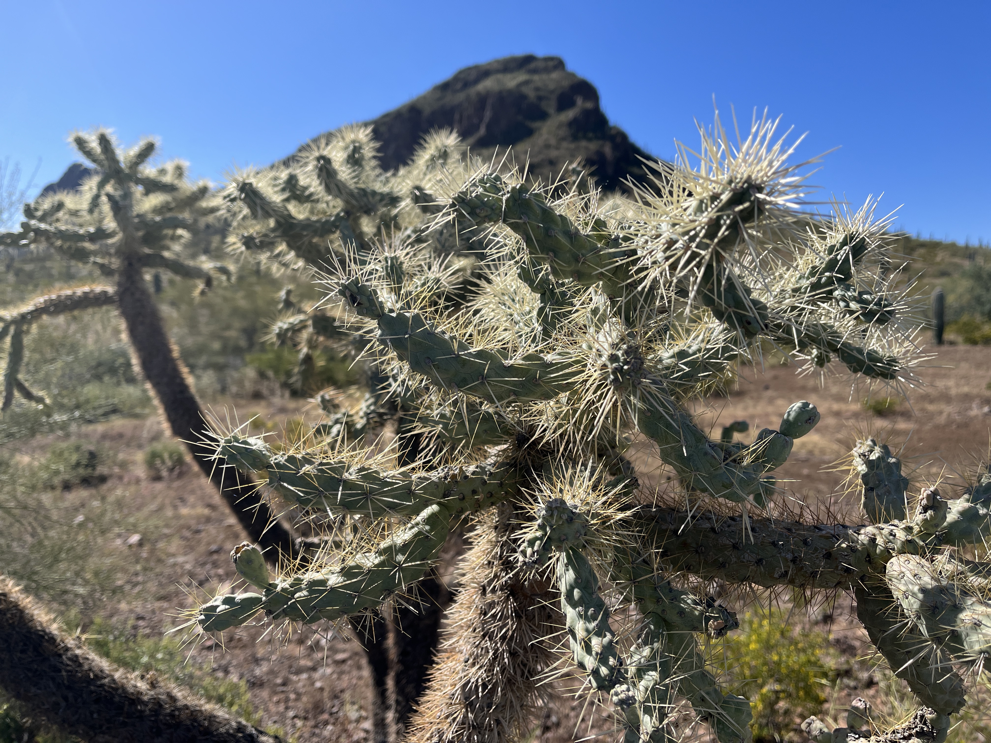
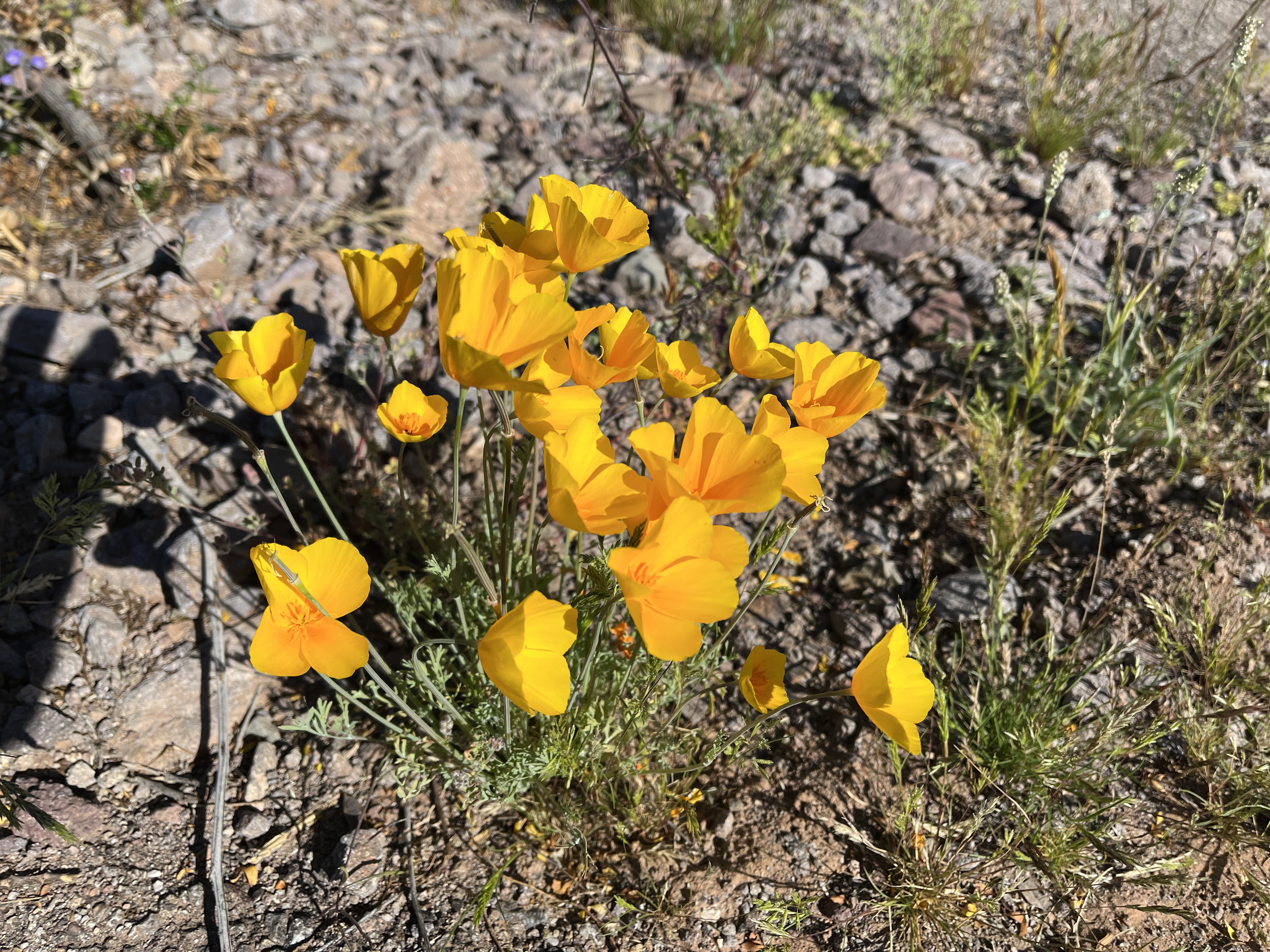
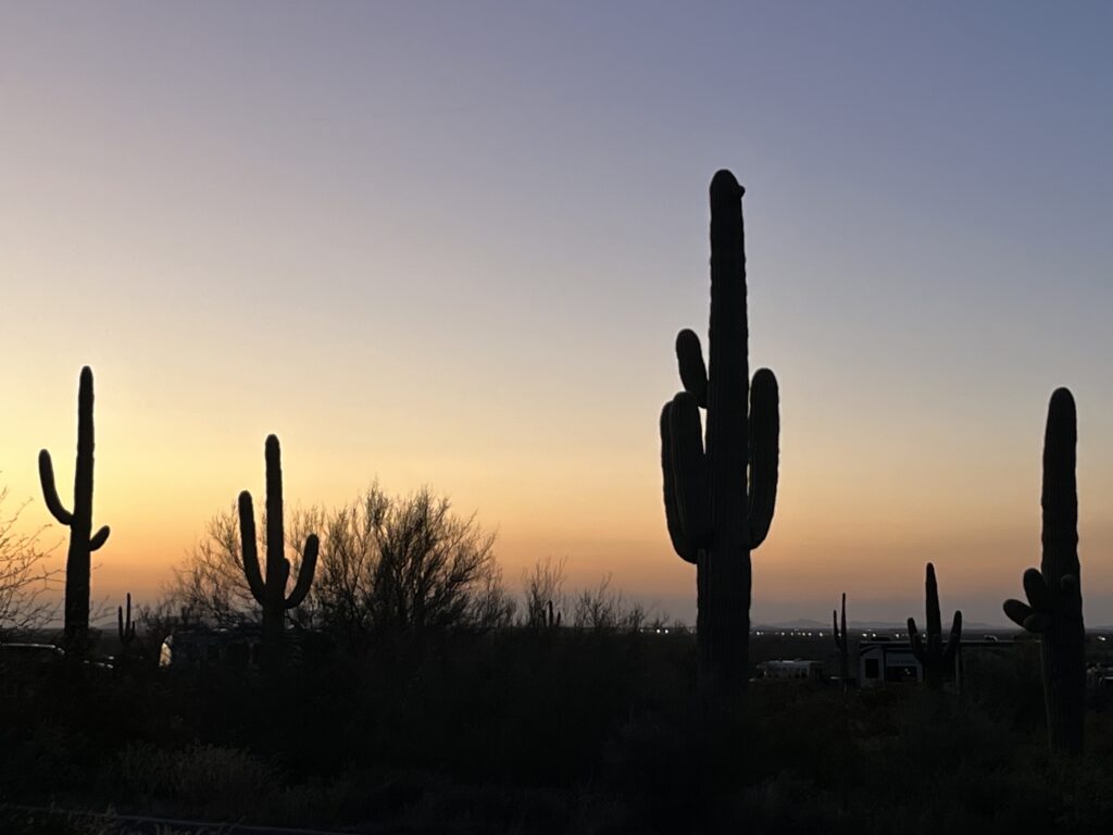
    • State Park: Picacho State Park, Picacho, AZ. Great hiking and views from everywhere in the park. Wonderful wildflowers and cactus.

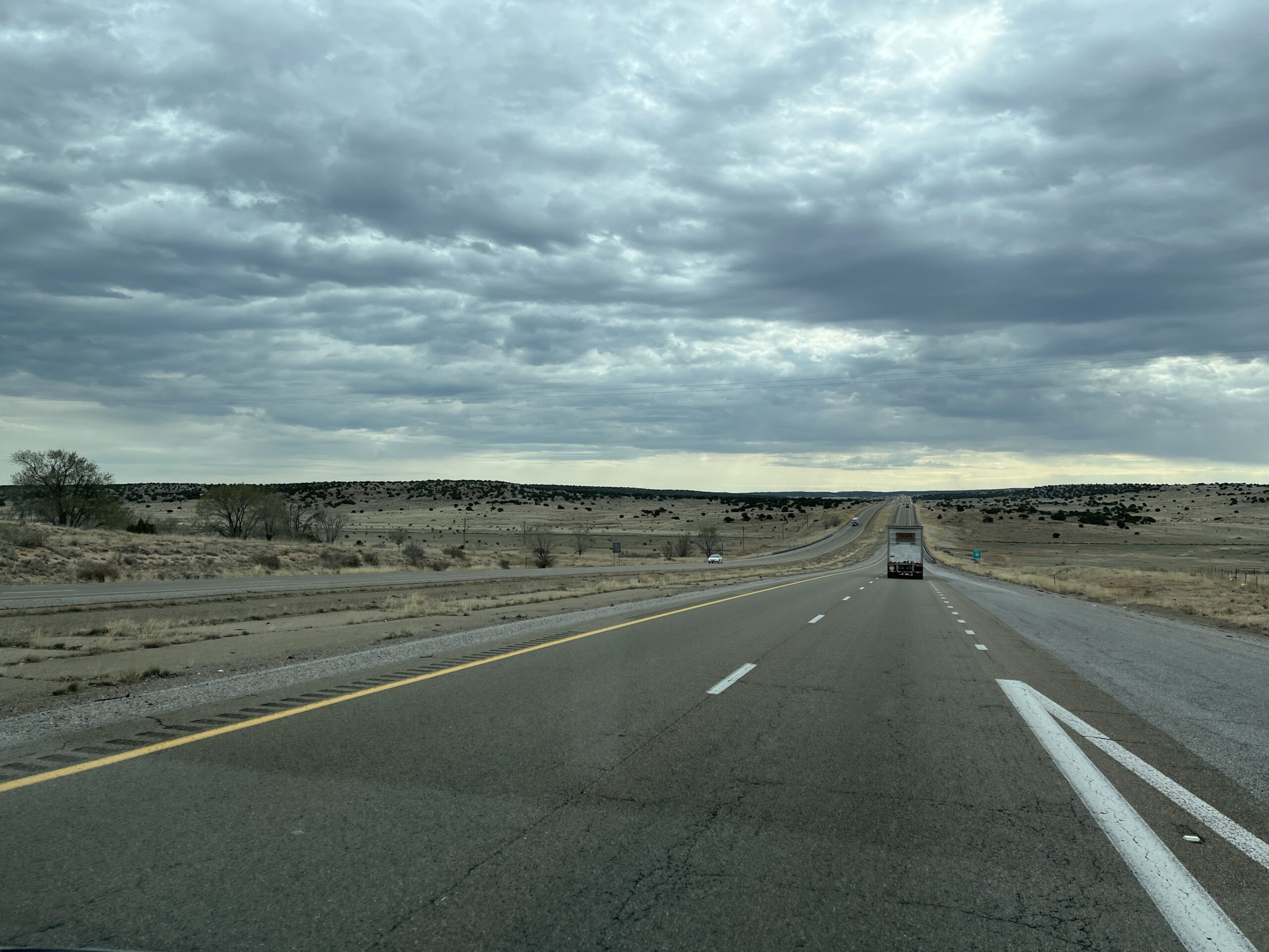
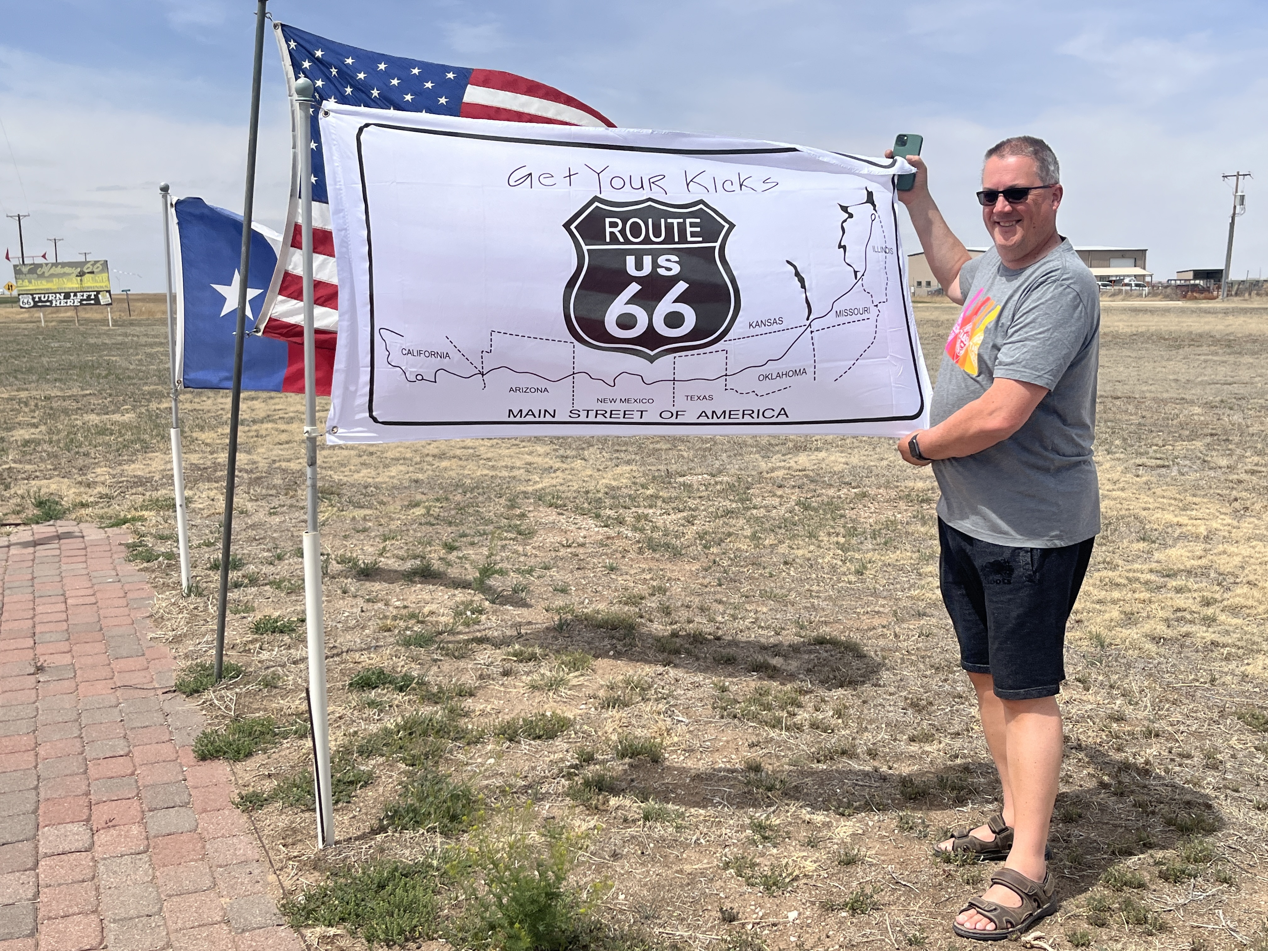
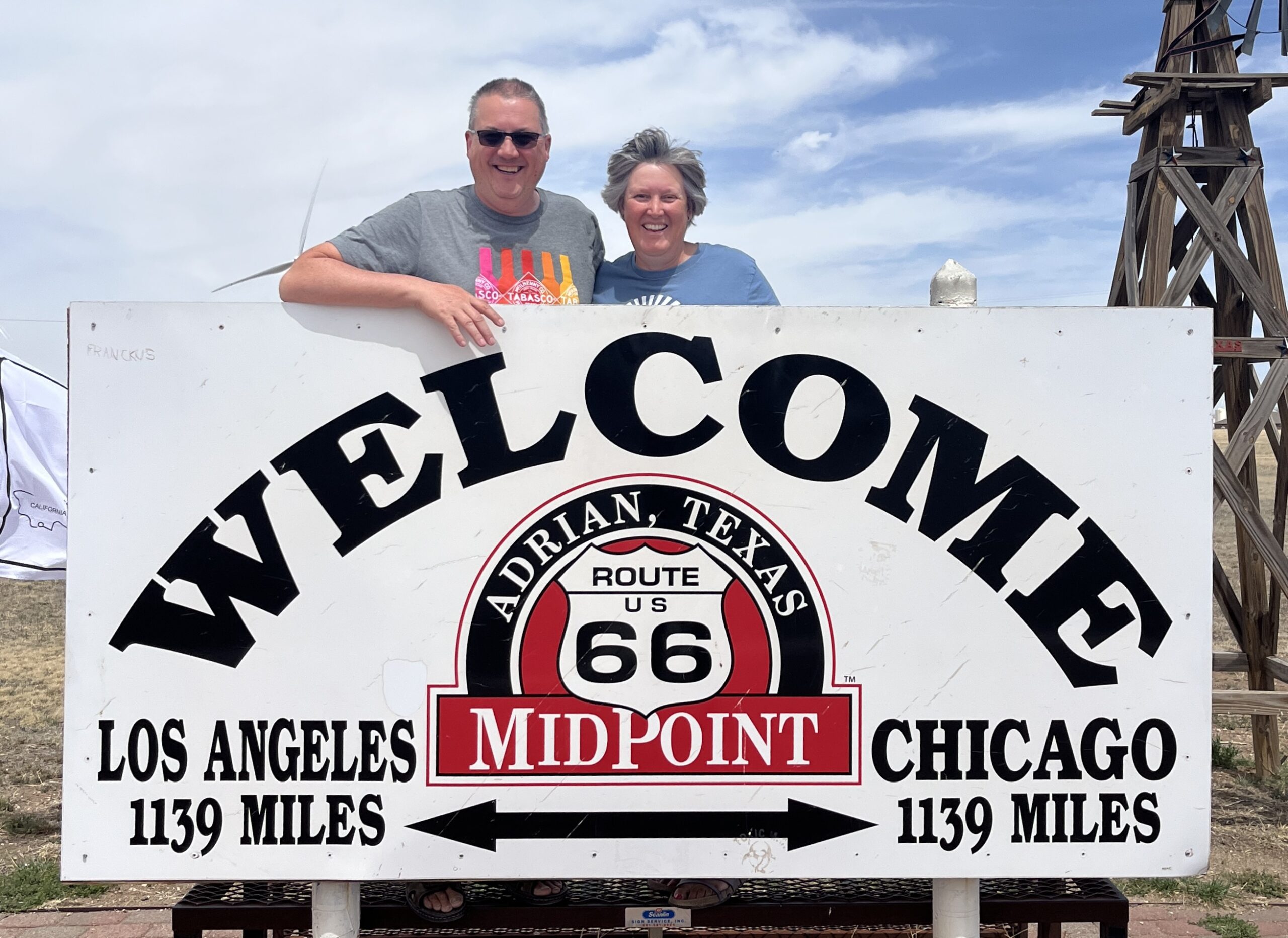
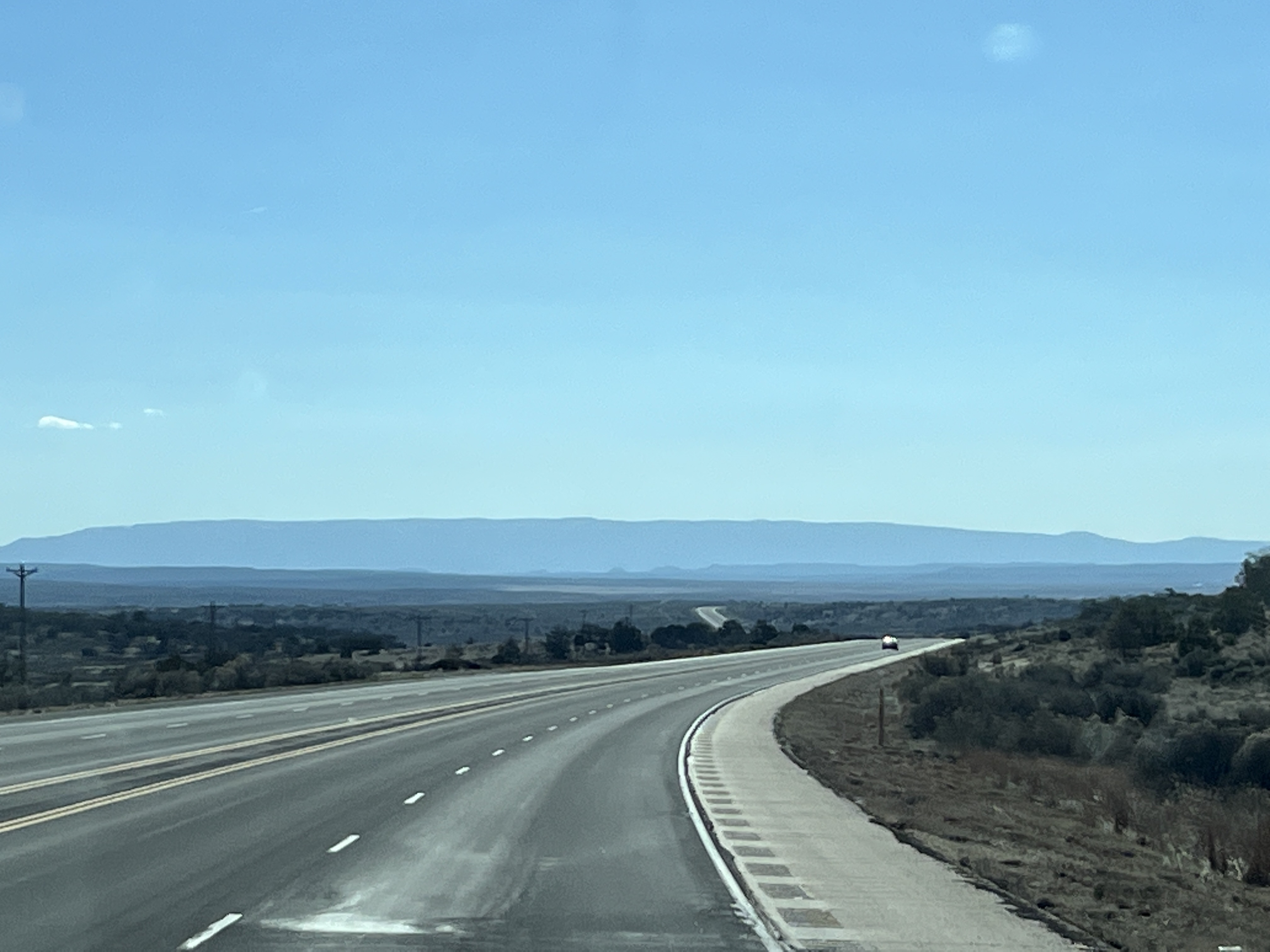
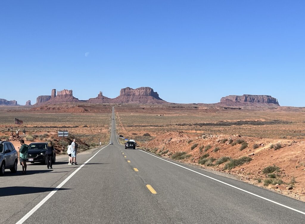
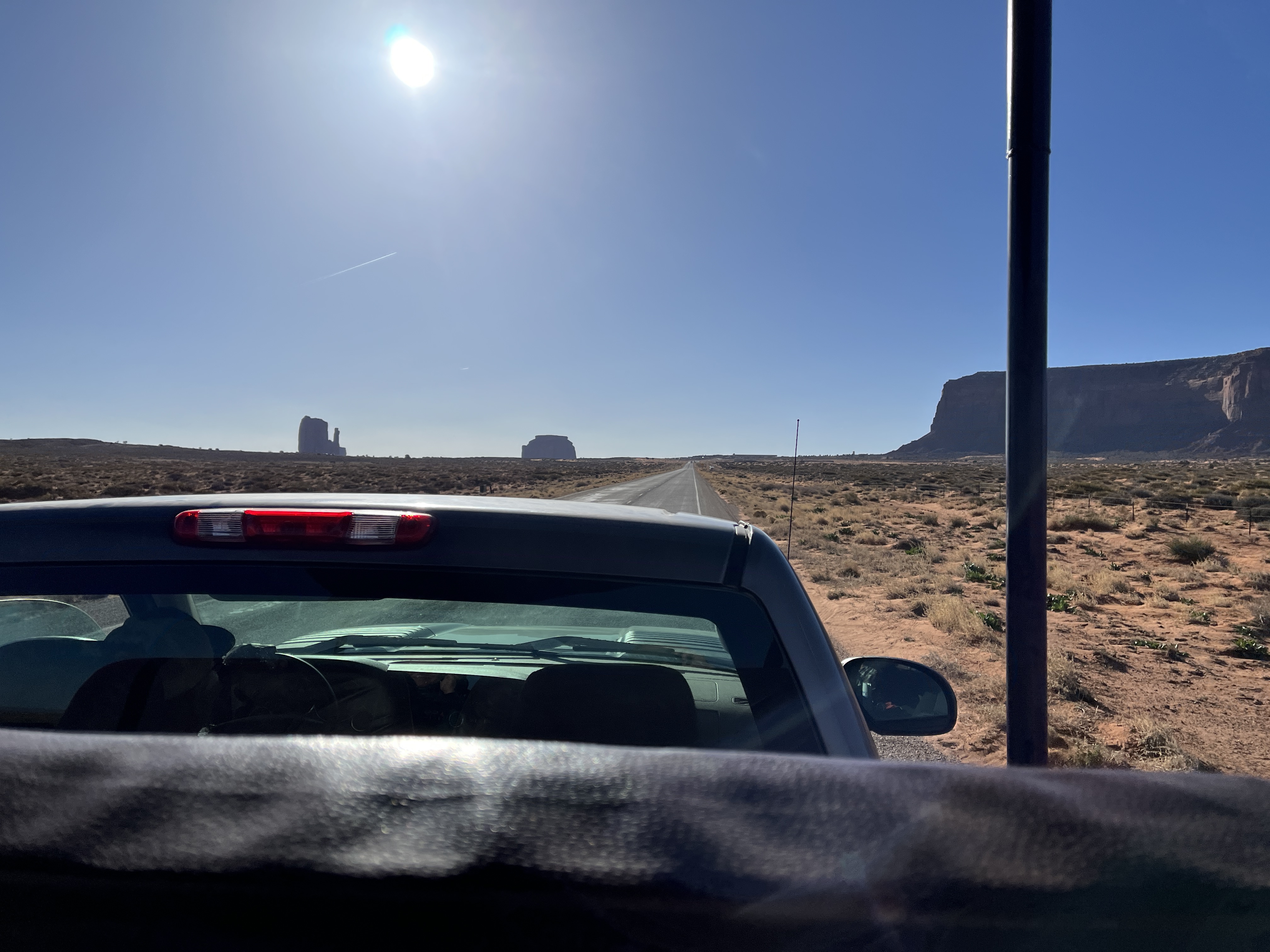
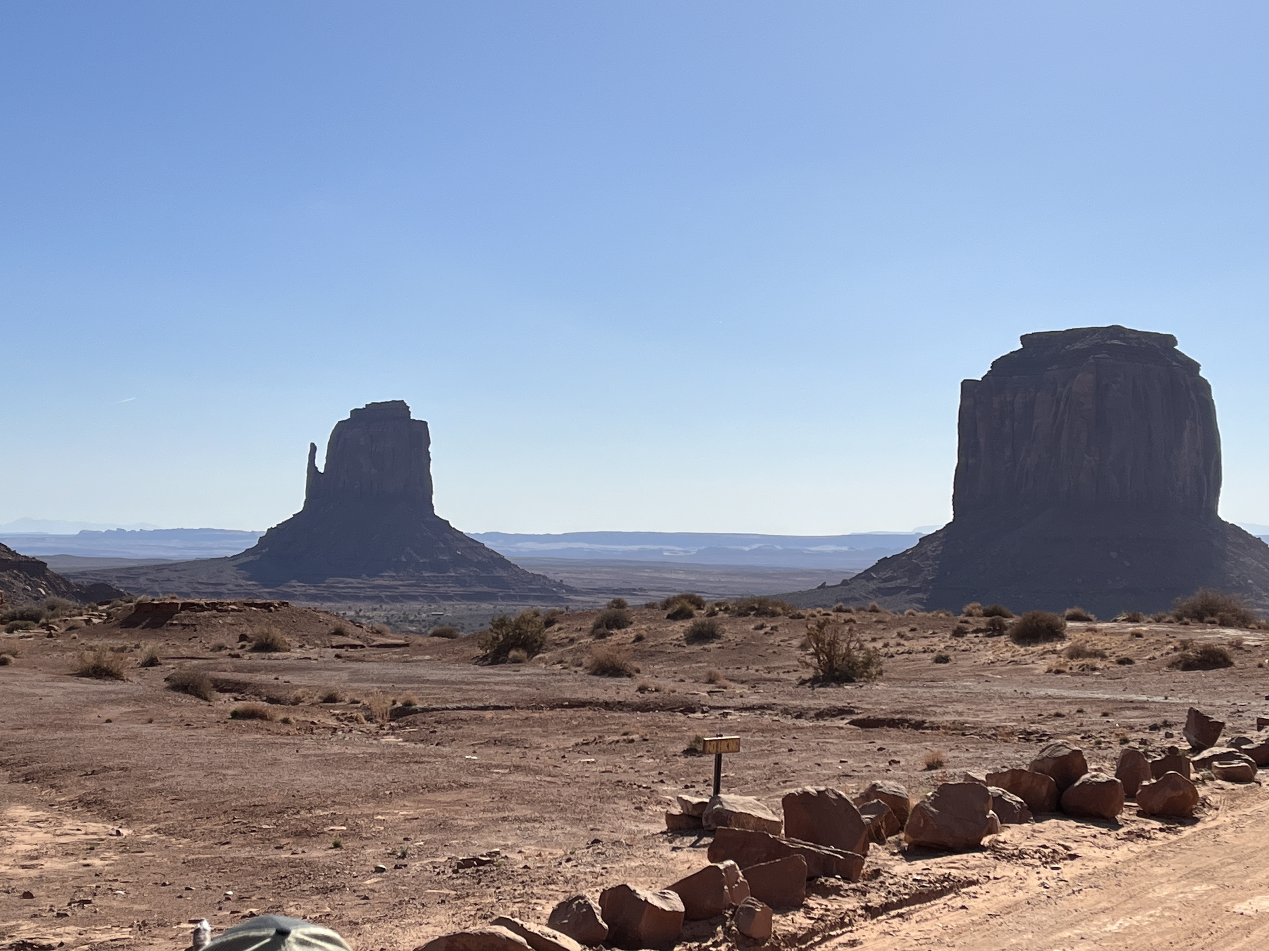
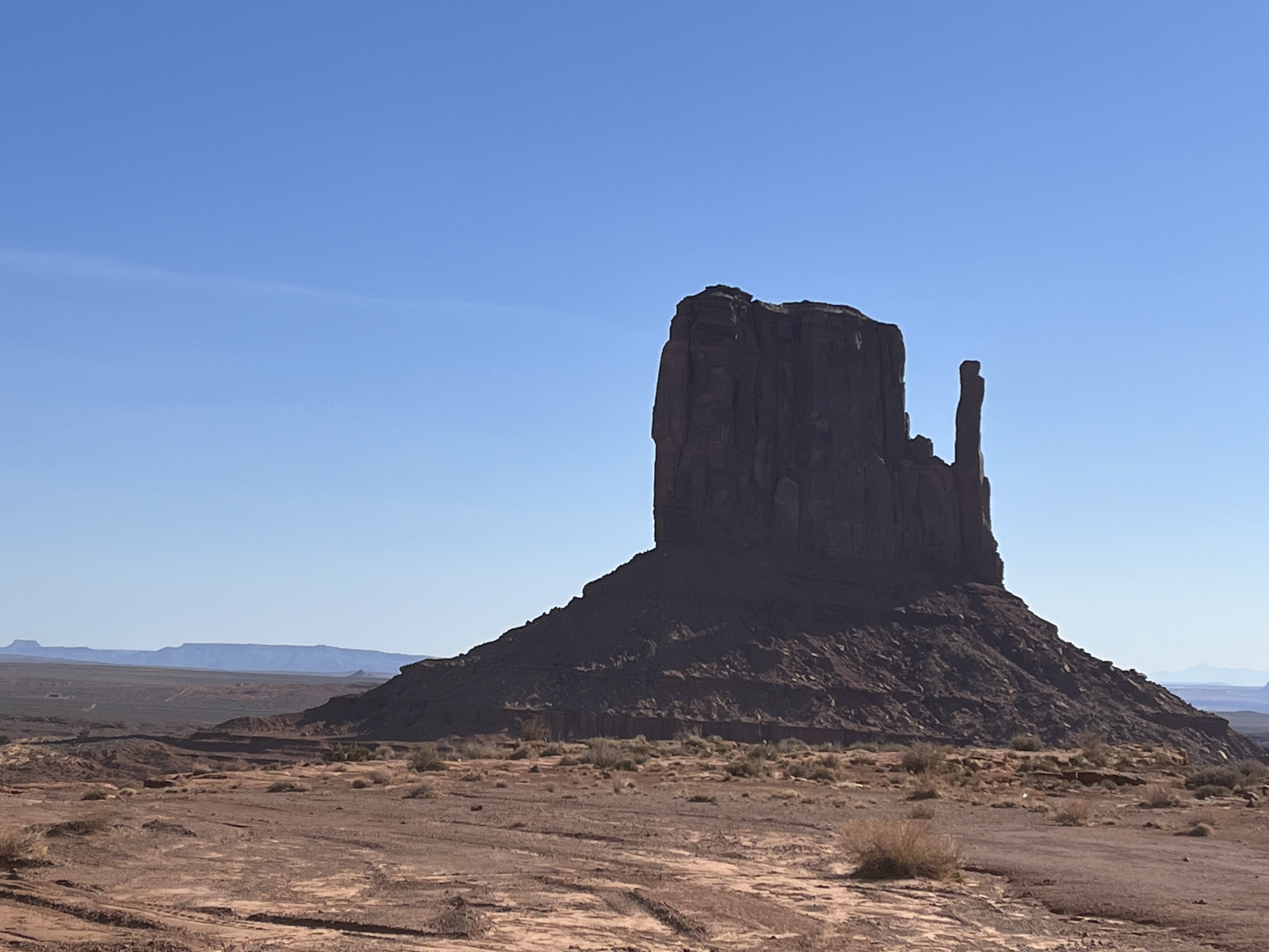
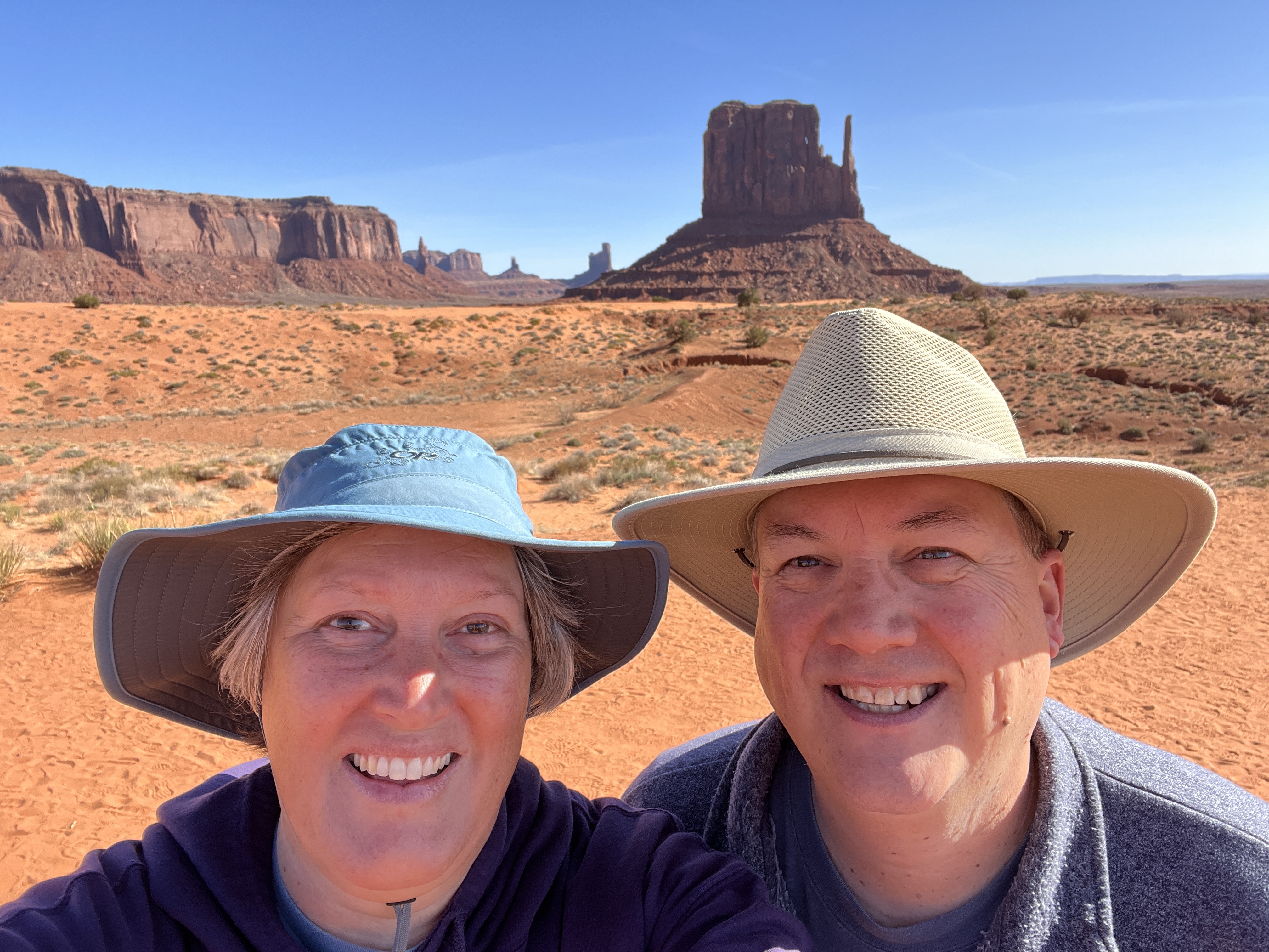
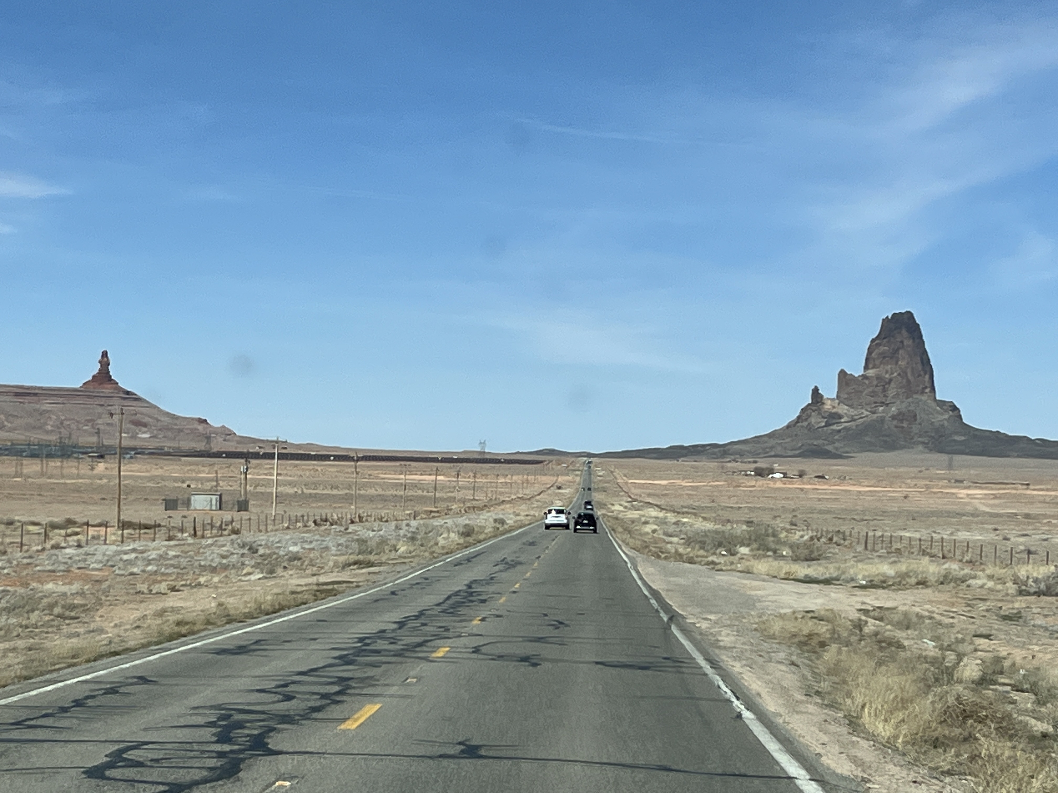
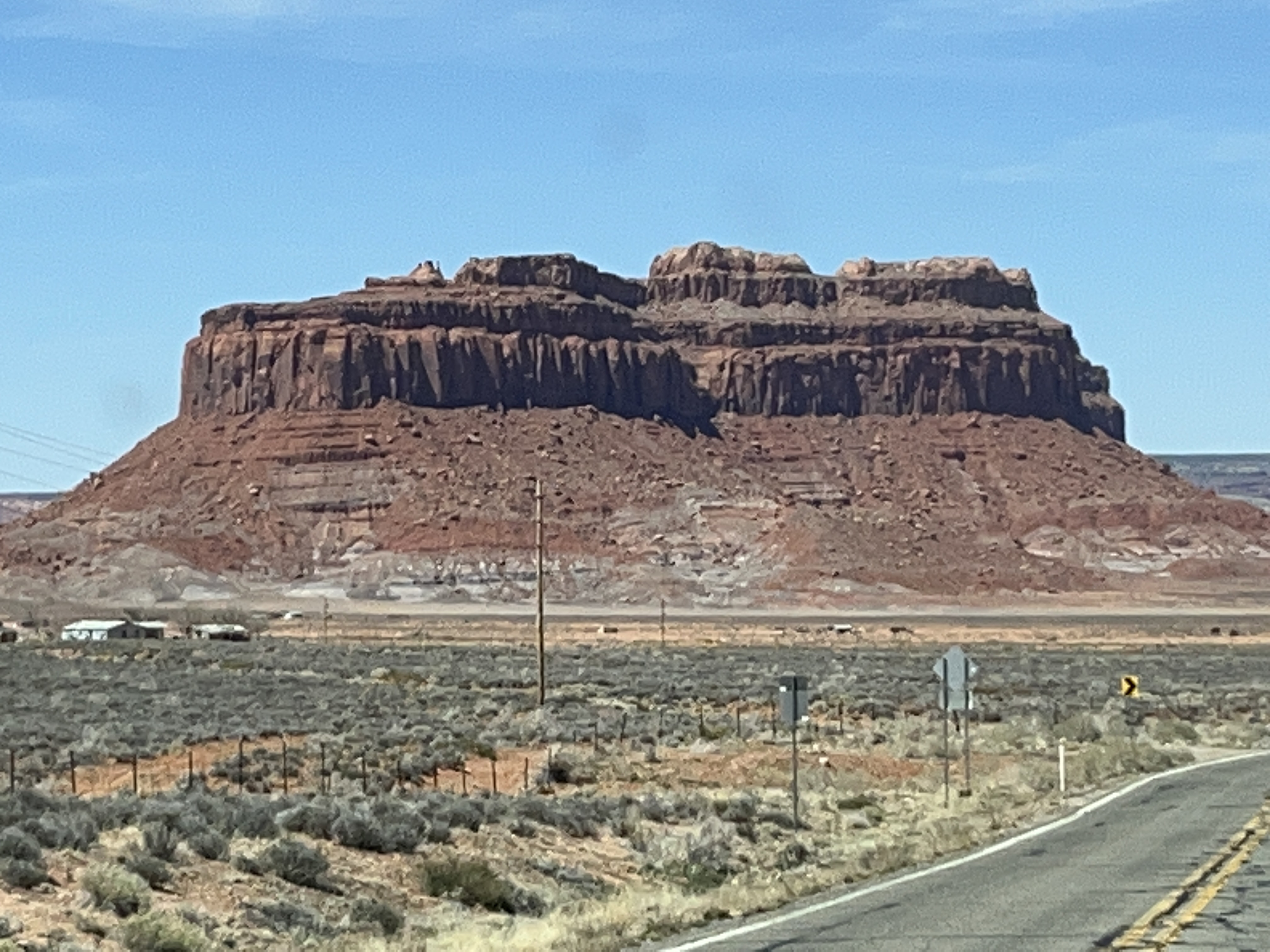
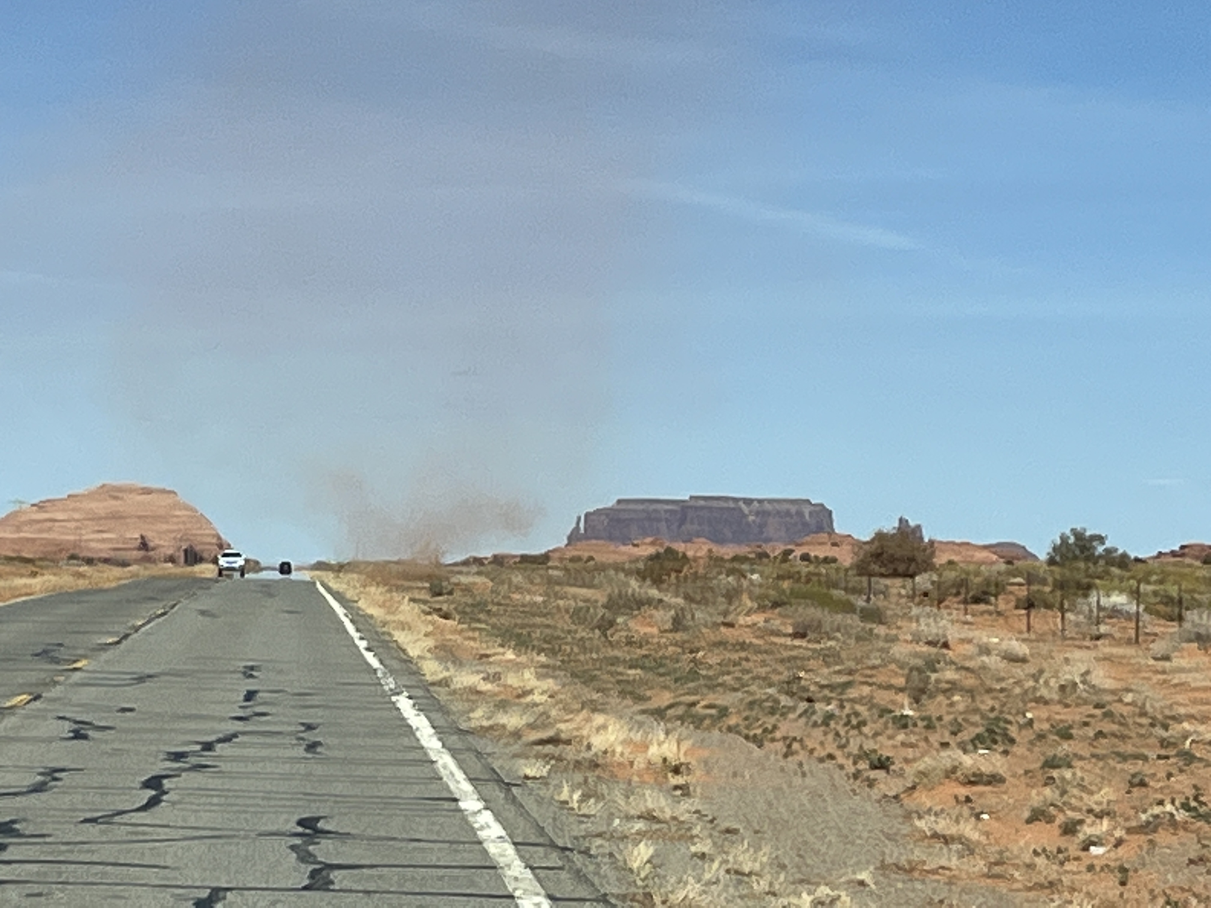
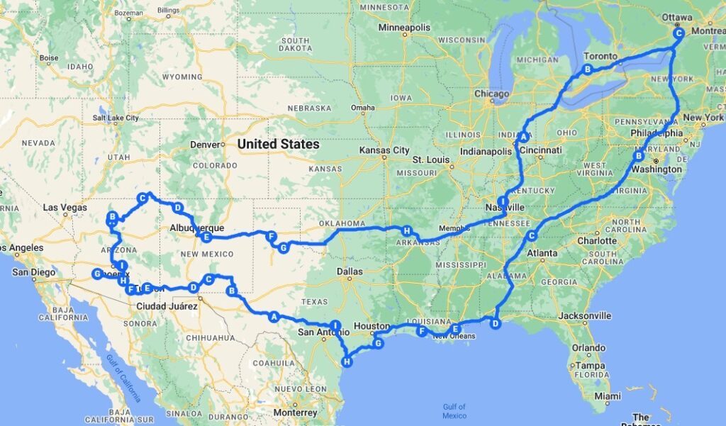
    The next question is about where exactly did we go? Here’s a map that shows you our route.

    47 Days in one map

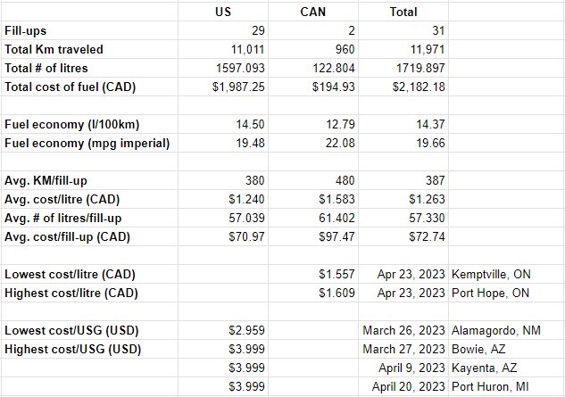
    Lastly, given the price of fuel, how much fuel did we use and what did it cost. Here is a table for you to review.

    Updated to include fuel economy numbers

    So there you have it, a few statistics about the trip. Hoping you find them interesting.

  • Day 47: The road home

    Days 45 & 46 were spent visiting family & there was no specific post for those days.

    This is it, the last day of this trip. We are up early and it’s cool. We enjoy breakfast and say our goodbyes (for now) and hit the road. Our first stop is just a few blocks away at a public dump station where we empty our tanks for the last time.

    We drive cross-country towards Cambridge, ON where we join Hwy 401E towards Toronto. The traffic is steady but being a Sunday there are few trucks on the road. This allows traffic to flow easily and before we know it we’re in Toronto passing the airport.

    Traffic comes to a short halt a couple of times as we cross the city but nothing that causes any real delays. We stop at the highway service center near Port Hope, ON where we grab a sandwich and coffee before filling up with fuel. Argh! Canadian fuel prices are harsh.

    The drive towards Eastern Ontario goes smoothly and we arrive at home by mid-afternoon. The tree damage from the recent ice storm looks severe and will take some time to clean up, but that’s for another day.

    Before (March 8, 2023)
    After (April 25, 2023)

    This trip has been amazing, we’re both tired and looking forward to resuming our home lives but for now, we sit and reflect on the sights and experiences we’ve shared in recent weeks.

    As mentioned in my last post, I hope to post a summary of our trip in the upcoming days so watch for it. Thanks again for coming along for the ride & we hope you join us again on our future trips.

  • Day 44: It’s nice to be back, Eh!

    So this is it, our last day of this trip in the USA and it starts with another beautiful morning. We enjoy a quick breakfast and pack up the van for the drive.

    We head out and immediately have a small issue, our phones (used for GPS mapping functions while on the road) are not connecting to a network. Luckily as this is the last US leg and we’re somewhat familiar with where we are going we can push on. We figure out over the next few hours that it’s only an issue with AT&T, if we change our phones to use Verizon they work fine.

    We head towards Fort Wayne, IN and have to decide which route to take. Detroit or Lansing. I’d prefer to avoid Detroit because of traffic and construction, but Lansing will add about an hour to our drive time. We’re tired of driving and so Detroit it is. At Fort Wayne we head NE towards Toledo, OH and hope that we don’t get caught up in any major delays.

    We’ve already noticed the lack of leaves on the trees when compared to our drive of yesterday. Spring is only just beginning in the Northern states.

    Toledo, OH is under construction, or at least the I-75N is. It gets better as we cross into Michigan, but then in Detroit it feels as if they’ve decided to completely redo the entire highway system. We muddle on and emerge the other side of the city unscathed. Yay!

    A quick lunch stop at McD’s and then a stop at one last US gas station. It seems like just a few minutes later and we’re paying the bridge toll (Debit/Credit only, cash no longer accepted). Over the Bluewater bridge and into Ontario.

    Canada Border Protection Services happily allow us to re-enter Canada with a minimal delay (less than 5min total from bridge to Hwy 402). Yay, we’re home, Eh!

    Our last hour for the day takes us along the shore of Lake Huron to Grand Bend where we stop at Tim Horton’s for a coffee (Mmm, Timmies) before heading to Exeter, ON where we are spending a couple of days with Barb’s parents.

    This marks the end of daily posts for this, our 2023 Southwestern US tour. I will put up a post in the upcoming days about our drive across Ontario towards home as well as one or two posts summarizing the trip in the next week or so. Whether you’ve followed us regularly or just found our blog, thanks for reading. I hope that you’ve enjoyed our view from the road.

    Thanks for coming along with us!

    BTW, we are planning a tour of the Maritime provinces in just a few weeks, so watch out for another series of posts starting soon. Cheers.

  • Day 43: Northward bound

    A nice quiet night at the Walmart parking lot in Russellville, KY. We’re up early with the sun again and soon all set to get back on the road.

    A short drive to Bowling Green, KY where we stop at the Crumbl cookie store. We’ve been hearing good things about their cookies so thought we’d give them a try.

    We joined the I-65N and headed toward Louisville, KY. Lots of trucks again and the terrain means I’m passing them uphill & then they’re passing me downhill. A couple of hours in and we cross the Ohio River into Indiana.

    From here the road is flatter and the driving easier. We stop for a quick break and bite to eat at a rest stop and then head onwards toward Indianapolis, IN. We take the I-465 around the city and veer off on the I-69N towards our stop for today in Anderson, IN at Mounds State Park.

    The park is tranquil and fairly quiet with most sites being empty. We back in, have something to eat (Chick-fil-a chicken) and then both enjoy a late afternoon nap.

    Mounds State Park, Anderson, IN
    Google tells me this is Cercis

    Tomorrow we plan on completing our Northward trek back to Canada and should be crossing the border back into Ontario in the afternoon. check back again to see how we get along!

  • Day 42: Russellville

    We awake in Russellville. Tonight we sleep in Russellville. Huh? What gives?

    This morning we started in Russellville, AR. Tonight we are about 450miles further towards home and are staying in Russellville, KY. It wasn’t planned this way however.

    The day started fairly normally and after breakfast we rejoined I-40E towards Memphis, TN.

    Crossing the Mississippi River

    Once past Memphis we head towards Nashville, TN stopping to do a little shopping in Jackson, TN and have lunch. Rejoining the I-40E the traffic increases as we get closer to Nashville. I then notice that the Waze GPS app is re-routing us because of traffic issues in Nashville. It does this a few times and then Barb notices that on Google maps in the city of Nashville traffic is a mess! Time to divert.

    Barb determines a route cross-country toward our intended destination, Bowling Green, KY. I take the next exit and avoid the traffic. Barb then tells me that we could actually stop for the night in a town with the same name as where we started, Russellville, KY.

    And so here we, ‘back where we started’ as it were. Ha ha ha.

    Tomorrow, we head North. We’ll leave Kentucky and head into Indiana. See you there.

  • Day 41: The start of our drive home

    So here we are, the beginning of the end. Today we begin our drive towards Ontario & home. It will take a few days, but compared to the past few weeks our pace will seem meteoric as our goal is to cover distance and not dawdle about.

    The sunrise was beautiful as we watched through the Mesquite trees while eating breakfast. We packed up the van and headed out. The Bisons politely congregated near the entrance to the park allowing us to take some final pictures.

    Bye Bye Bison

    We headed North across country towards the I-40E. This route had us driving through some small towns that for the most part are now almost ghost towns as most of the Main Street stores are sadly vacant and boarded up. One of the towns, Memphis, TX has all of its downtown streets paved with cobblestones which have it a really charming feeling, that is until you see all of the vacant shops. Sad.

    North Texas grasslands

    Once on the I-40E we quickly cross into Oklahoma. Near Hydro, OK we stop to look at our last Route 66 site, Lucille’s gas station was operated by Lucille Hamons from 1941 until her death on August 18, 2000, the site was added to the US National Register of Historic Places in 1997.

    We are accompanied by strong crosswinds as we cross Oklahoma; however, the grasslands slowly disappear and by Oklahoma City many more trees can be seen including now large leaf deciduous trees and larger conifers. Large-scale farming has been replaced by smaller farms interspersed throughout the wooded hillsides. By the time we get to the Arkansas state line, the farms have mostly disappeared (as have the winds) and now the scenery is forested hillsides amongst the lakes and waterways that will become the Ozarks.

    After almost 9hrs on the road, we pull off at Russellville, AR and pull into the Cracker Barrel parking lot where we will have dinner and spend the night.

  • Day 40: Caprock Canyon State Park 2

    I’m up at 6:45am to turn on the propane and then the furnace. This means going outside at 6C in my shorts. Brrr. However, the warmth from the furnace feels nice and by 7:30am the inside of the van is a toasty 18C. Time to make some coffee.

    We move from the Wild Horse campground to the regular campground today but first it’s time for eggs and sausage cooked on the griddle. We figure this will be the last griddle cooked meal for this trip so a little extra time is spent cleaning after we’ve eaten.

    We pack most items into the passenger area of the van as the move to the new campground is only a few kilometers. Once ready, we back out of our site and leave the campground turning away from our destination as we want to briefly explore the deeper areas of the park. Some of the road is very steep and not accessible to those with trailers. The tenting campgrounds look nice but remote; however, they have fantastic views of the red canyon walls.

    We see a few Bison grazing near the road and taking a drink in a lake.

    We visit the park office to get our tag for the new campsite but we can’t occupy it until 12:00pm. Off to the showers! Ahhhh, hot water. This is nice. We both are less smelly as we arrive at our new campsite.

    We’ll only be here for the day and overnight, but we both agree that this is the nicest state park campsite we’ve had all trip.

    Campsite

    We have lunch and go for a walk along the canyon edge and take a few photos. We see a herd of Bison not far away, but watch them to ensure they’re not looking our way and potentially blocking our return to the van. No problems, they’re busy grazing and are far enough say that we pass without them paying us any heed.

    Sitting under the shade structure writing this and I just got blasted by a dust devil that blew right through our site. Might need to clean the van out again as the door is open!

    We spend the remainder of the afternoon planning the last few days of our trip and chatting with friends and family.

    Barb planning our upcoming stops
    Sunset
  • Day 39: Caprock Canyon State Park 1

    A warm night last night and neither of us had a good sleep initially. Then the temperature dropped and we both slept really well into the early morning. Uncharacteristically we didn’t wake until around 7:30am.

    I decided to go for a walk along the Wild Horse trail and explore the lower portion of the canyon. Initially the trail starts at the top of the canyon wall with some lovely views across and along the canyon. It then descends down into the canyon where it wanders along the bottom crossing a dry riverbed several times.

    It was while descending into one of these crossings I turned and saw a small herd of Bison. They were about 100m from me but the bull saw me and turned to look at me. I stood still and took a few photos before quietly retreating back along the trail I had walked.

    Returning back to the campsite I passed Barb who was going on her own exploration. She found some interesting plants to take pictures of.

    We cooked bacon and eggs for breakfast and settled in for a quiet day of reading and relaxation. I finished the book that I had picked up in Albuquerque and Barb finished what was her 6th book of this trip.

    We watched as others left the park and new neighbors replaced them. We even witnessed a couple riding horses towards the canyon as they passed through the campground.

    Horse riders

    The winds returned around dinner time and we were forced to eat in the van to avoid having Texan dust added to our meal as a seasoning. It sure is windy in these parts.

    Last night and tonight we are staying in the Wild Horse campground of the park. It is an area designated for folks who camp with their horses as each site has a corral for Horses and is fenced from having the Bison wandering through the sites (evidently Horses and Bison do not get along). We chose to stay in this area because there was no available sites in the regular campground. Tomorrow we move to the regular campground within the park where the sites have electrical connections as well as water. There are also showers which we are very much looking forward to using.

    That’s it for today, check back tomorrow to see what we get up to.

  • Day 38: Palo Duro Canyon State Park

    The winds died down overnight and it was calm by the time we woke. Today we will stop at the Palo Duro Canyon State Park. We had originally wanted to camp there but they had no sites and thus we will become day visitors instead.

    We’re leaving the winery at about 9:30am and the state park is only a 20 minute drive. There’s a small line up of cars entering the park so it only takes a few minutes and we’re in.

    Our first stop is an overlook that provides a picturesque vista of the canyon. We also visit the gift shop and interpretive center to learn a little of how the canyons in this part of Texas were formed.

    Interpretive center & gift shop

    Access into the canyon is down a steep 10% grade with several switchbacks. At the bottom the main park road encircles the canyon bottom and is several miles in length.

    It is hot. 31C hot. I’ve heard people say “Yeah, but it’s a dry heat”. OK, but hot is still hot so sunscreen, hats and bottles of water are a must as we set out to do a little walking on some of the trails.

    We choose an easy trail that is near the river and only about 1 mile in length. We took off down another trail by accident and when done had walked over 2 miles with little to no shade. Oops.

    Trail walking

    For lunch we parked the van in one of the many picnic spots that have shelters over the tables to provide shade. Lunch was yummy and a nice reward for completing the hike.

    Leaving the canyon we head southeast towards our next camping spot at Caprock Canyon State Park in Quitaque (pronounced Kitty-quay). On the way from Canyon to Quitaque the landscape changed from flat (really flat) agricultural grasslands to less flat central Texas plains where there are trees and things seem to be much greener than up on the grasslands above the canyons.

    Flat Texas grasslands

    We are staying at Caprock for 3 nights and plan on hiking some of the trails and relaxing. This is our last ‘destination’ for this trip. On Monday we begin our eastward drive toward Ontario. I will blog along the way, but before then come back and see what we get up to here at Caprock.

    Caprock canyons state park
  • Day 37: We get our kicks on Route 66

    Up and at ‘em. The sun’s up and so are we, ready for a day of driving eastward out of New Mexico and into Texas.

    Today Barb has decided to drive our campervan leaving me to be passenger and photographer. The other rigs that stayed at the brewery we us left at about 8:30am and we headed out by 9:00am as is our habit.

    We start by joining I-40E and heading toward Santa Rosa. The highway seems extra busy with truck traffic as the scenery slowly changes from that of the high desert towards the central plains.

    We take a small detour into the town of Tucumcari, NM. This detours takes us onto historic US-66. Although the town is surviving it is clear that it has seen more affluent times when Route 66 was the primary east-west route that ran directly through town.

    After a couple of hours we leave New Mexico and enter Texas. The sky seems larger as the land flattens to become the grasslands of the plains. Again, we leave the interstate and head into Adrian, TX. We stop at the Midway Cafe that sits at the mathematical midpoint of the historic US-66. Halfway between Los Angeles and Chicago. We take a few photos outside at a sign that marks this point and then we head into the cafe for lunch.

    Adrian, TX

    The Midpoint Cafe has operated in this location for decades under various names and owners. It is decorated as a 1950’s diner and the menu reflects this era containing hamburgers, fried bologna sandwiches, hot dogs, milkshakes and homemade pies for desert.

    We settle on each having a cheeseburger and Coke Zero. The owner is working in the kitchen and is delayed on a complicated order ahead of ours and so instructs the waitress to offer us a complimentary piece of pie! Barb chooses Chocolate & Peanut Butter which tastes amazing. When the burgers are delivered we they are large and look delicious, we are not disappointed, in fact we both agree that the burgers are the best that we have tasted in a very long time.

    Returning to the interstate we notice that the West Texas winds have returned and Barb is working hard to keep the van in our lane. Nearing Amarillo we pull off to top off the gas tank before driving a short distance to what has to be the weirdest stop along Route 66, the Cadillac ranch. Ten 1950s-era Cadillacs have been partially buried hood-first in a field and visitors are encouraged to use spray paint to decorate the cars. We do not bring paint, only our cameras to capture the absurd art installation.

    Cadillac Ranch

    Our last driving segment takes us around the western edge of Amarillo towards Canyon, TX where we drive to the Bar-Z winery where we are staying the night. We enjoy a flight of wine and purchase a bottle of Sauvignon Blanc to enjoy on another day. The evening is enjoyed relaxing in the van.

    Bar-Z winery, Canyon, TX
  • Day 36: Onward to Moriarty, NM

    So, no wind at bedtime (or in the forecast). Strong winds overnight, van shaking winds. No wind at daybreak. The winds were so strong that our tenting neighbors bailed in the middle of the night as they were gone before 6:00am when I awoke.

    The view is still as stunning as the evening before and we continued to enjoy it while enjoying breakfast.

    We departed our parkup by 9:00am and headed toward Albuquerque, NM. The drive took us across the continental divide at 7,380ft before descending into the city.

    We stopped at a Chili’s for lunch before going to a Krispy Kreme to pick up a few donuts for later. Taking advantage of having stopped in a shopping district, we took some time to browse around a Barnes & Noble bookstore where Tony picked up another book to read.

    Time for a treat

    Leaving the city we drove East on I-40E towards our destination, Moriarty, NM. Tonight we have booked a Harvest Hosts stay at the Sierra Blanca Brewery and upon arrival we checked in and then rested in our van for a couple of hours. Later in the afternoon we went into the brewery and joined some other folks who were also staying at the brewery in their campers. We met folks from Rochester, NY, Wisconsin and California. We swapped stories and enjoyed a beverage or two before returning to our campers for the evening.

    Sierra Blanca Brewery, Moriarty, NM
    Sierra Blanca Brewery, Moriarty, NM
  • Day 35: Angels Peak

    Driving day today as we awake from another quiet night of slumber. The wind has picked up a bit and is from the West so that should help with our travels today.

    A normal pre-travel morning routine sees us enjoy a small breakfast and then it’s time to disconnect from the campground services and prepare to depart. All is good to go.

    Our first stop will be very familiar to anyone who has watched the movie “Forrest Gump” for we stop and take some pictures at the place where Forrest ends his running and decides to go home.

    From here we drove just a short distance to Mexican Hat to view Mexican Hat Rock. Let me save you the time, it’s a rock that happens to look like a sombrero balancing on a much smaller rock. The picture says it all.

    Next stop, the Four Corners. This is the place where Arizona, Utah, Colorado & New Mexico all meet. It is marked with a plaza where you can walk between the four states or stand in two states or if you include your hands, like Barb, you can be in all four states at the same time (almost). You see, Arizona does not use daylight savings time & so you can also be a time traveler and be in multiple states at different times! The plaza is on Navaho land and as such an $8/person tribal fee is required to access the plaza which also contains many Navaho vendors selling all kinds of authentic goods. Enjoy the pictures.

    Leaving the Four Corners we drove South and reconnected with the US-64E towards Farmington, NM and then onto Bloomfield, NM where we turn SE towards our stop for the night, Angels Peak, NM. This is a BLM night and so we will have to hope that we can find a nice spot. Oh, were we lucky. We found a quiet corner of one of the picnic areas that overlooks the Angels Peak Badlands & for the first time on this trip we snagged a gazebo under which to eat our meals! Bonus.

    The evening is super quiet as the sun sets. There are almost no clouds in the sky & there shouldn’t be any light infiltration to detract from the starry skies.

    Sunset
  • Day 34: Monument Valley

    7:00am and an alarm wakes us. The time has gone ahead an hour now that we’re (just) in Utah and we are being picked up at 9:00am for our guided tour of the Monument Valley and backcountry. We enjoy a light breakfast and get ready to be out and about for a few hours.

    Our guide arrives a little early so we climb into the rig and he takes us to the View hotel that sits at the entrance to the valley. Accessing the valley requires us to pay an $8/person tribal fee as the land is owned by the Navaho (Dineh) tribe. We pick up a few more passengers (visiting from France and Spain) and we head down into the valley.

    Approaching Monument Valley

    The drive can be made using your own vehicle and although RVs are not allowed our campervan would have been permitted but as we will discover, the road is very rough and uneven. We are both very glad to have chosen to take a tour and we’re only just at the beginning.

    The steep gravel and sand road flattens out at the bottom of the valley and you begin to realize the size of the sandstone mesas that are scattered about the valley. Some are over 1000’ in height.

    The valley is most famous for being the filming location of early Hollywood westerns many of which were produced by John Ford such as Stagecoach (1939) and The Searchers (1956) both of which starred John Wayne. There is now a location within the valley named John Ford point.

    John Ford Point

    All of the mesas in the valley have names, some are easy to understand their source such as ‘The Elephant’ or ‘Three Sisters’. Others require a bit of imagination to see what is evidently seen by others.

    The tour takes us in the backcountry beyond the self-drive route to a tribal village where, in a traditional shelter called a ‘Hogan’ we are shown how rugs are woven from sheep’s wool that is sheared, washed, spun and colored by hand before being woven into intricately patterned rugs.

    Lastly while in the backcountry we visit a few places to see huge holes or arches through the mesas created by millions of years of erosion. At our last stop, our guide plays his traditional wooden flute while we gaze at the sky through one of these massive holes. Quite magical.

    Returning to the entrance to the valley, we notice that there are many more folks now self driving the roads and we see a few vans bumping along and we wonder if they have anything left in their cupboards. The tour was 3hrs long and cost us each $70USD, but we both feel that we got so much from it. We learned much from our guide about the history of the Dineh people and how living in a modern world has affected their way of life. If you visit, we recommend taking a tour.

    From our campsite
    Sunset

    The remainder of the day we spent at our campsite relaxing and planning the remaining days of our trip. Still more to come so keep checking back.

    P.S. Yes, there is now red sand everywhere in the van.

  • Day 33: Onto Monument Valley

    Another chilly night, I thought we came South to get some warmth? Had issues starting furnace during the night so used electric cube heater as we were plugged in at the site. Turns out that the propane was NOT turned on thus no furnace, Doh! Although I suppose it’s nice to know it was user error and not a system error.

    Time for a statistic: It turns out that during this past winter, Grand Canyon village had 452cm (178”) of snowfall. No wonder we’re still seeing lots of it lying amongst the trees and on the north facing slopes.

    We started the day by visiting some of the lookouts that are East of the visitors center along the road that we will take to leave the park. I’ve added some pictures below.

    Upon leaving the Grand Canyon National Park the road begins to steadily fall towards Cameron, AZ where we turn North and then East towards Tuba City and Kayenta.

    The scenery really changes between the Grand Canyon and Monument Valley. Along the lines of ‘from Yogi bear to the Road Runner’.

    Dust devil just south of Monument Valley

    We got gas in Kayenta and then headed North towards the Utah state border. Crossing into Utah and just 1 mile into the state we had reached our destination, the Monument Valley KOA. Home for the next two nights. We are now 500m lower at 1600m (5250ft) than the 2100m (7000ft) elevation of last night.

    During the afternoon we booked our tour of Monument Valley for tomorrow morning. Read tomorrows post to find out what we think.

    Indian Tiki Masala for dinner and then a quiet evening in the van.

  • Day 32: The Grand Canyon

    Another chilly night in the high desert. This one required running the furnace for a few hours in the early morning hours. Brrr.

    We managed to get ready for the day and on the road before 9:00am. The drive to Grand Canyon National Park was only about 20min and we had read that to avoid lines at the gate that can build to over 2hrs in length we should arrive before 9:00am. Tick. We arrive shortly after 9:00am and only wait about 5min. We drive to the South Rim Visitor Centre, find a parking space and set off for a walk.

    We start at Mather Point and walk westward along the rim trail to the Grand Canyon village. It takes us about 2 1/2 hours and we covered about 4km stopping many times along the way to take many pictures.

    Our neighbors, the Americans, are quick to use superlatives when describing anything associated with the USA, “Worlds largest…”, “Best…”, “Most Extreme…”. In the case of the ‘Grand Canyon’ I believe that they under delivered on the name. This place goes beyond what words can describe. Adjectives like “expansive”, “vast”, or simply “Wow” cannot do it justice. I’ve given this a lot of thought today and have decided NOT to try and describe what we witnessed, instead I’ve included some pictures & urge each of you to visit this park. You will not be disappointed.

    At the Grand Canyon village Barb looks about the Hopi arts and crafts shop while I check out the buildings. We take the shuttle bus back to the Visitor Center, and drive the campervan to the Trailer Village RV Park where we are spending the night.

    We enjoy an early dinner and then catch the shuttle bus to Hopi point to watch the sunset, we caught the last bus out! Sunset was a bit of a bust as it was cloudy, but we still enjoyed the experience.

    To end the day we enjoyed a movie in the van before settling down for the night.

  • Day 31: Flagstaff and beyond

    Today = Driving. We leave Lost Dutchman State Park headed toward the Grand Canyon and the drive looks to be about 4 hrs but we have to stop for groceries and gas. It will take longer than 4 hours (foreshadowing).

    We start off well at about 9:00am and the traffic around Phoenix is light and then we get to I-17N towards Flagstaff. Lots of weekend traffic, it feels like everyone is heading North at 75-80mph. The road is not flat either but climbs quite considerably in places causing trucks to put on their flashers while everyone tries to jump into the left lane and not loose any speed. All in all it translates into quite a stressful hour or so.

    We pull off of I-17N and head towards Sedona, AZ. No plans to stop other than for a quick picnic lunch, just as well. First, the Sedona valley is beautiful. The town feels like a ski resort that’s been jammed between the red rock faces of the valley. Clearly a nice place to come and visit if you’re staying at a lodge or hotel but not in a campervan. We pull through 3 separate picnic areas before we finally find one North of the village where there is enough room for our rig and so we stop and enjoy lunch.

    Leaving the Sedona valley requires you drive out through the Oak Creek Canyon on route 89A. This entails driving up a series of switchback curves to reach the top where we see snow along the roadside amongst the pine trees. A beautiful drive but it had Barb not wanting to get too close to the window in the van due to the drop offs.

    The remaining drive to Flagstaff was easy and before we knew it we were shopping at Walmart and Bashras (local chain) for groceries. Dinner was courtesy of Pizza Hut as Barb did not want to cook tonight and pizza was to be a treat. Fuel acquired at a Pilot service stop just West of Flagstaff and then we continued toward the Grand Canyon.

    Near Flagstaff, AZ

    We turned North at Williams, AZ onto route 64 which leads directly to the South Rim entrance to the Grand Canyon National Park. However, our plans were not to go all the way tonight. Instead we were copying what our friends the Milddogs did last year and that is stay just South of the park on BLM land, driving into the park tomorrow.

    We find the dirt road off of the highway near a place called Red Butte. It’s bumpy and rutted from vehicles driving along it in recent rains. It’s easy to see that some folks were getting stuck in the soft muddy soil. We pass a few camping areas but they are taken so we keep going. We then turn down a bumpier road (not wide enough for two vehicles) and drive about half a kilometre before realizing that we’re in over our heads. I find a place where I think I can turn around without getting stuck and proceed to complete a 1000-point turn. Success. We drive out along the same bumpy, rutted road and decide to pull into an area where someone is already setup to see if there enough room for another vehicle. There is and we hide behind some shrubbery (nod to Monty Python fans) so as not to be intrusive.

    It is quiet. We enjoy our pizza and a well earned drink. It is close to 6:00pm meaning that it has taken about 9 hours to get here. Phew. Oh well, tomorrow is only about an hour of driving, so it was worthwhile.

    Sunset
  • Day 30: Lost Dutchman State Park

    Whoa, chilly start to the day but supposed to heat up to 26C this afternoon. A light breakfast and then both ready ourselves for our morning walks.

    We were visited by Quail while eating our breakfast

    Barb will walk about the campground exploring some of the nature trails while I strike off to the Superstition Mountains and UP the Siphon Draw trail. It will take me an hour before I run out of energy and decide to stop and come back down. I manage a 281m (922ft) gain in elevation, not bad for a ‘flat lander’.

    The remainder of the day we spend relaxing and reading at the campsite before a short walk together about the campground after dinner.

    Tomorrow we leave and head North towards the Grand Canyon. We’re going to camp on BLM land for one night and then in Grand Canyon village for a second night. Come back to see how we make out.

  • Day 29: “Nature is the inspiration for all ornamentation” – FLW

    Today we head towards Phoenix, AZ. The sun is up early and we go about our morning rituals to get ourselves and the van ready for a drive. We will miss Picacho Peak State Park, it is beautiful and serine.

    Our drive along I-10W is uneventful, yep back to our old friend for what I think will be the last time. Nearing Phoenix we turn East on the 202 and the North on the 101. We’re heading North towards Scottsdale, AZ where we will stop at Taliesin West.

    Taliesin West (now a National Historic site) was the Winter home and studio of Frank Lloyd Wright. Purchased by FLW in the 1930s, the land was developed by himself and the students of his fellowship using local materials that blend harmoniously into the surrounding landscape.

    We took the self-guided audio tour (other tours were all sold out) which lasted about an hour and looked about the grounds and through FLWs office, the living quarters and the drafting studio. The tour was really well put together and gave you an amazing insight into the methods & philosophies applied when the campus was built. Enjoy a few of the pictures we took.

    Leaving Scottsdale, we head back across the city towards the East and the Lost Dutchman State Park. It is located at the foot of the Superstition Mountains near Apache Junction, AZ.

    This is a very popular park because of its close proximity to Phoenix and we were only able to reserve a rustic site (no services) for 2 nights. The view is amazing!

  • Day 28: Picacho Peak State Park 3

    Another short post today, the wind continues but it’s only going to get to 17C so it will feel cooler than that. The days starts with my walking around the park again, I take the following selfie.

    Once back to the campsite Barb catches me relaxing.

    We have breakfast and relax for the remainder of the morning. After lunch we go for a walk towards the peak in the background of the photo above. We have no intention of trying to climb it. Along the way we find more colorful flowers and cactus.

    We stopped on our hike to take the following picture of Barb next to a Saguaro cactus. They really are quite a bit taller than you might think.

    The following is near the end of our hike at the foot of the mountain. This really is quite a special place and we highly recommend this state park to anyone visiting the SW Arizona area.

    Tomorrow we’re back on the road. Come back soon to see where we went.

  • Day 27: Picacho Peak State Park 2

    A quick post today. We’re relaxing and doing some reading while the warm winds whip around our site knocking over chairs and footstools. We both finish the books we are reading by the end of the day. Sometimes staying still is very therapeutic. Enjoy a few pictures taken while walking earlier today and one from this evening.

    Ciao!